Victor Levasseur
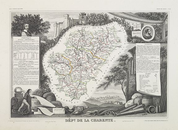
Victor Levasseur, an important French engineer, cartographer, and engraver of the mid-19th century, held several key cartographically related political and educational posts in France.
He is most famous for his "Atlas National Illustré des 86 Departments et des Possessions De La France. Divise par Arrondissements, Cantons et Communes Avec Le Trace De Toutes Les Routes, Chemins De Fer Et Canaux. Dresse d'apres les Travaux du Cadastre du Depot de la Guerre et des Ponts et Chaussees, par V. Levasseur, Ingenieur Geographe attache au Genie du Cadastre et de la Ville de Paris. Grave Sur Acier Par Les Meilleurs Artistes. Publié par A. Combette Éditeur Paris. 1856. Rue de la Parcheminerie No. 15. Impie. de Lemercier, Paris. Eug. Duchez.".
The first publication of this particular atlas was in 1847. Most of Levasseur's work was produced between 1838 and 1855.Levasseur’s maps are distinctive for their wide decorative margins, which contain elaborate depictions of the scenery, peoples, and trade goods of the areas he mapped.
Levasseur's maps are also known to offer a wealth of statistical data.
It was one of the last decorative map atlases of the 19th century, along with those by Tallis and Fullarton.
