Frans Hogenberg
Frans Hogenberg was born in Mechelen as the son of Nicolaas Hogenberg. Frans drew maps and made drawings for publishers in the Netherlands, Germany and England. Besides being an illustrator, painter, and engraver, he was himself a publisher.
Like his brother Remigius, he was probably taught by his stepfather, the mapmaker Hendrik Terbruggen. In Antwerp, Hogenberg engraved for Abraham Ortelius' world atlas "Theatrum Orbis Terrarum" dating from around 1565. The atlas was published in 1570 by Aegidius Coppens van Diest in Antwerp.
In 1568, he was banned from Antwerp by the Duke of Alva and traveled to London, where he stayed a few years before emigrating to Cologne. In Cologne, he opened a studio where many engravers had their education. He also founded a cartographic publishing company.
Together with Georg Braun, canon of the Cathedral of Cologne and his son Abraham Hogenberg, Frans published in 1572 the town book "Civitates Orbis Terrarum". This book was an immediate hit in Germany and became widely known. It would grow into a 6-volume work, and the last volume was published in 1618.
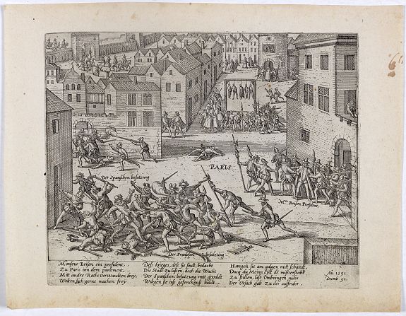
Frans also published a series of historical prints depicting contemporary events, including many battles, sieges, executions, assassinations, parades, court scenes, etc., of the Eighty Years' War in the Netherlands, as well as in France and other parts of Europe. The work is known as "Die Geschichtsblätter".
The engravings were produced shortly after a historic event and primarily depicted events of interest to European populations. The format is a large engraving that also contains,
at the bottom, a descriptive text in German (and sometimes French as well).
They are "Views as news" and represent the earliest form of pictorial journalism, the precursor of the illustrated newspaper.
Ultimate reading : K.Kinds - Kroniek van de opstand in de Lage Landen.
