Articles about Maps
If you are interested in the background of maps we hope the following articles are of interest to you.
The Mapping of .... , does give you cartographic background on different countries.
You may also check out our index of Map Makers and Explorers, Collecting Tips, Storage and Framing, HiBCoR Map Grading
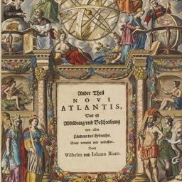
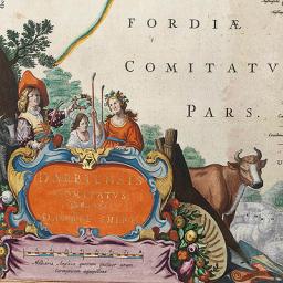
Since the 16th century many atlases of maps and, more widely, works of geography, cosmography, exploration and travel have been preceded by highly decorative titlepages and/or frontispieces presenting their contents in symbolic form. Their aim is to attract the potential reader, first opening the book, by a visual expression of the contents of the work that is to follow.
-256x256.jpg)
Maps are in use throughout the world. Most of these maps can be placed into one of two groups: A) reference maps; and, B) thematic maps.
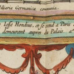
In the first half of the 17th century the publishing house Hondius / Janssonius / Blaeu dominated the map publishing in Europe. It is known that at the beginning of the 17th century the French publishers went to Amsterdam, buying those maps not available in Paris.
The Amsterdam publisher Cornelis Danckerts the elder made selling trips to Paris and was associated with Melchior Tavernier, who became at the beginning of the 16th century the most important publisher in Paris. He was very much influenced by the Dutch and must have visited Amsterdam on a regular basis. In 1638 he paid 500 pounds to H.Hondius, and 1000 pounds to Willem Blaeu, most likely in payment for maps he sold in depot.

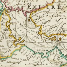
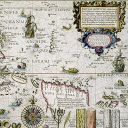
A substantial number however was colored by hand, and a very small number even heightened with gold or silver. As many atlases produced during the 16th - 17th century were produced for rich merchants, noblemen and collectors, many of these atlases where coloured for decorative reason.
