Petrus Plancius
Petrus Plancius (1552 – 1622) was a Dutch-Flemish astronomer, cartographer and clergyman. He was born as Pieter Platevoet in Dranouter, now in Heuvelland, West Flanders.
Born in Dranouter in West Flanders, studied theology in Germany and England and, at the age of 24, he became a pastor of the Dutch Reformed Church.
He moved from Brussels to Amsterdam, after the fall of the city to the Spanish in 1585. There, he began to be interested in navigation and cartography.
Thanks to the fortune of having access to recent nautical charts from Portugal, he was soon considered a great expert on shipping routes to India.
He was firmly convinced of the existence of a passage to the northeast that would greatly facilitate the road to the Far East, but after the failure of the third journey Willem Barents (1597) changed his mind dramatically.Plancius was one of the founders of Dutch East India, for which he designed more than 100 maps.
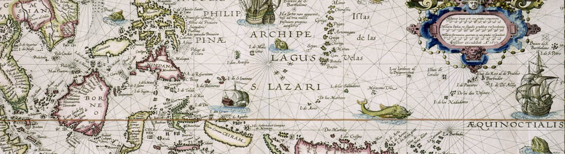
In 1592, he published a map of the whole world called Nova and exacta Terrarum Tabula geographica and hydrographica. In addition to maps, published journals and navigation guides, and developed a new method for determining longitude. He was also the first to introduce the Mercator projection into nautical charts.Plancius was a close friend of Henry Hudson, a famous New World explorer.
Uranografia
In 1589, he collaborated with Jacob Floris van Langren, a cartographer from Amsterdam, in the realization of a celestial globe 32.5 cm showing for the first time some peculiarities of the southern sky, then little known: the Southern Cross, the South Triangle and the two Magellanic Clouds.
In 1595, he asked Pieter Dirkszoon Keyser, the first Dutchman, to make some observations of the area around the southern heavenly pole that remained obscure on the European maps of the southern sky. Keyser died in Java the following year - his expedition was very troubled - but his 135-star catalog, probably prepared with his fellow explorer Frederick of Houtman,
The information was delivered to Plancius, who added 12 new constellations in late 1597 (or early 1598) which he inserted on a 35 cm celestial globe published by Jodocus Hondius.
The constellations of Plancius (representing almost all animals and those described in the natural history books and travel accounts of the time).
In 1612 (or 1613) he inserted eight new constellations on a 26.5 cm celestial globe published in Amsterdam bij Pieter van den Keere.Most of them of biblical origin.
Intenerario
The maps in the famous Intenerario by Jan Huygen van Linschoten are based on the maps by Petrus Plancius. [more]

