J.A.C. Buchon and his "Atlas Gégraphique Statistique, historique et chronologique des deux Amériques.
Most of the atlas is devoted to the United States and its territories, and incorporates the latest geographical knowledge available, by what was then one of the premier mapping firms in the United States. There are maps of virtually every state, with copious statistics supplied in the margins. The large map of Arkansas Territory is actually the 1823 Long map of the Great Plains and Mississippi Valley, extending as far west as Santa Fe and the edge of the Rockies, while the map of the whole North American continent and the excellent large detailed map of the United States and territories can lay claim to being the best available to that time.
Comparison to Carey and Lea edition of 1822; Georgia, Louisiana, New York adds information on the Canadian coast of Lake Erie, U.S. map adds Long's information in the west and labels the Great American Desert (in the 1822 edition Carey & Lea used Long's information on Map 35, but only slightly on the U.S. map, as they explain in their note on the U.S. Map)
Phillips points out some of the other differences:
-- N. America shows Russian America and a Map of Russian America reflects the treaty of 1825;
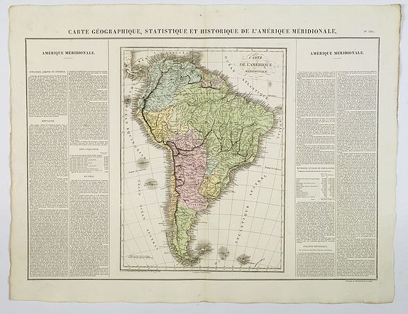
Mexico is different, Guatemala is added, Guadeloupe and Martinique are substituted for the Windward and Leeward Islands Maps, and maps of Guyana and Paraguay are added in S. America.
In general, some of the United States maps are taken from the 1822 and early 1823 editions (for example, Illinois and Indiana are from 1822/23) and some are from the later 1823/26 editions (the U.S. and Louisiana, for example).
The maps are engraved by Le Gagneur. All maps are surrounded by letterpress explanatory text ( in French), which includes details of climate, topography, commerce, religion, government, governors, basic history and important military engagements are discussed.
These maps are a great example of a superior 19th-century engraving technique.
References: HOWES C133. WHEAT TRANSMISSISSIPPI 348, 352.