Antique maps of Australia.
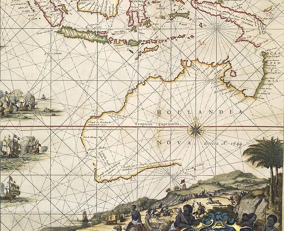
The history of the cartography of Australia has certain unique features. Alone among the continents of the world, it was imagined long before its actual discovery.
Early cartographers speculated about an immense southern landmass. The voyages of Marco Polo in the thirteenth century, with his report of the Kingdoms of Beach, Lucach, and Maletur, to the far south, greatly strengthened this idea, and these three names appear on many early maps roughly in the position actually occupied by Australia, Beach in particular approximating to York Peninsula.
AUSTRALIA
The name Australia is derived from the Latin australis, meaning "southern". The first recorded European sighting of the Australian mainland and the first recorded European landfall on the Australian continent was by the Dutch navigator Willem Janszoon. He sighted the coast of Cape York Peninsula on an unknown date in early 1606. On 26 February 1606, he made landfall at the Pennefather River on the western shore of Cape York, near the modern town of Weipa.
In 1770, James Cook mapped the east coast of Australia.
On the 26th of January 1788, Captain Arthur Phillip began a British settlement at Sydney Cove.
