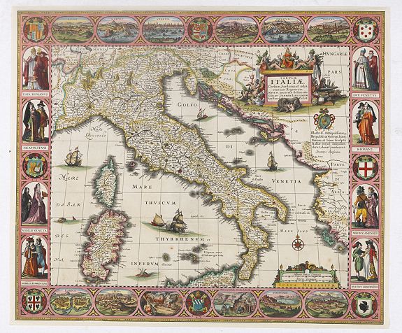
mapping of Italy

Italy’s cartographic history reflects its rich cultural, political, and geographical complexity. From ancient Roman maps to Renaissance masterpieces, Italy has long been a center for mapmaking in Europe. The earliest known maps, such as the Tabula Peutingeriana, a Roman road map, reveal how geography was viewed in practical and symbolic ways during antiquity.
Figures like Fra Mauro in the 15th century, with their detailed world maps that combined classical learning with travelers’ reports, left an indelible mark on the history of cartography.
In the 16th and 17th centuries, Italy was a vibrant center of cartographic innovation, playing a key role in the evolution of modern mapmaking. In the 16th century, Italian cartographers like Giacomo Gastaldi rose to prominence. Based in Venice—a powerful maritime republic—Gastaldi created detailed regional maps and contributed to atlases such as Ptolemy’s Geographia. His work, which blended classical knowledge with new information from explorers and traders, significantly advanced the field of cartography.
Another prominent figure, Giovanni Battista Ramusio, compiled Delle Navigationi et Viaggi, an influential collection of travel narratives that shaped European geographical knowledge and further solidified Italy's role in mapmaking history.