Browse Listings in Atlases

Claudii Ptolemaei Alexandrini mathematicor[um] ...Octo libri Geographie. . .
1522 PTOLEMY, C. / FRIES. L. - Third edition of "Géographie" by Ptolemy and published in Strasbourg
Date: Strasbourg, J. Grüninger, 1522
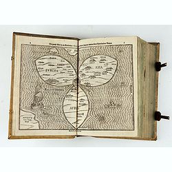
Itinerarium Sacrae Scripturae. Das ist: Ein Reisebuch...
1587 BÜNTING, H. - The early German edition of Bünting's Itinerarium, including the famous world map in the form of a clover leaf
Date: Magdeburg, 1587
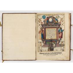
First German text edition of the Spieghel der Zeevaerdt…
1593 WAGHENAER, L.J. - First German text edition of the Spieghel der Zeevaerdt…
Date: Amsterdam, 1593
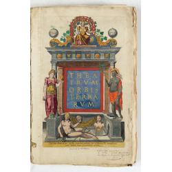
Theatrum Orbis Terrarum.
1598 ORTELIUS, A. - An extremely rare Dutch edition of Ortelius' Theatrum Orbis Terrarum, illustrated with 92 maps, 91 maps numbered 1-91, in beautiful contemporary color...
Date: (Amsterdam, Corn. Claesz.) ?, 1598
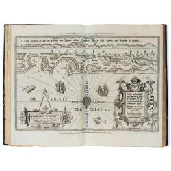
Le Nouveau miroir des voiages marins de la navigation de la mer occidentale & orientale.
1600 WAGHENAER, L.J. - A second and final French edition of this important sea atlas.
Date: Antwerp, Chez Iean Bellere, a l’Aigle d’or, l’An M.CCCCCC - 1600
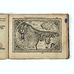
Nieuw Nederlandtsch Caertboeck. Waer in volkomentlijcker als oyt te voren vertoont werden de XVII. Nederlanden.
1616 GOOS, A. - Nieuw Nederlandtsch Caertboeck
Date: Amsterdam, 1616
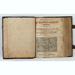
Itinerarium Sacrae Scripturae, dat is, Het Reysboeck der heyligher Schrift
1648 BÜNTING, H. - Itinerarium Sacrae Scripturae, dat is, Het Reysboeck der heyligher Schrift
Date: Leeuwarden, de Vries, Jan Jansz., 1648
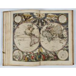
L’Atlas de la Mer ou Monde aquaticque.
1670 GOOS, P. - L’Atlas de la Mer ou Monde aquaticque.
Date: Amsterdam, sur le Cay de Teexel, prez du Rams-Koy, au miroir de la Mer, 1670
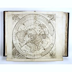
French composite atlas made up of rare maps published by Parisian editors from the 17th century , mainly by G. Jollain including scarce maps of America.
1675 JOLLAIN, G. - A unique French composite atlas including 90 maps, published by Parisian publishers from the 17th century, mainly by Gérard I Jollain, or by maps bough...
Date: Paris, ca. 1675
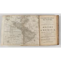
Cosmography in Four Books. Containing the Chorography and History of the Whole World: and all the Principal Kingdoms, Provinces, Seas,
1682 HEYLIN, P. - Cosmography in Four Books. Containing the Chorography and History of the Whole World: and all the Principal Kingdoms, Provinces, Seas,
Date: London, 1682
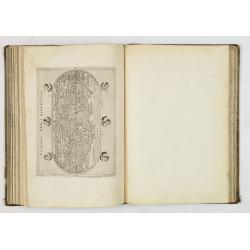
A unique composite atlas with updated Porro maps.
1686 PORRO, G. / MAGINI, G. - A unique composite atlas with updated Porro maps.
Date: Venice, 1686

[12 volumes] Recueil des voyages qui ont servi à l'établissement et aux progrez de la Compagnie des Indes Orientales, forméedans les Provinces-Unies des Païs-Bas...
1725 DE RENNEVILLE, R.A.C. - [12 volumes] Recueil des voyages qui ont servi à l'établissement et aux progrez de la Compagnie des Indes Orientales, forméedans les Provi...
Date: Rouen, Pierre Le Boucher, 1725
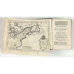
Avantures du Sr. C. Le Beau, avocat en parlement ou Voyage curieux et nouveau parmi les Sauvages de l'Amérique Septentrionale. Dans lequel on trouvera une Description du Canada… Ouvrage enrichi d'une Carte et des figures necessaires.
1738 LE BEAU, C. - Avantures du Sr. C. Le Beau, avocat en parlement ou Voyage curieux et nouveau parmi les Sauvages de l'Amérique Septentrionale. Dans lequel on trouve...
Date: Amsterdam, 1738
![(Chatelain "Atlas Historique" in 7 volumes.]](/uploads/cache/47053-(1)-250x250.jpg)
(Chatelain "Atlas Historique" in 7 volumes.]
1739 CHATELAIN, H.A. - (Chatelain "Atlas Historique" in 7 volumes.]
Date: Amsterdam: Chez Zacharie Châtelain, 1732 - 1739
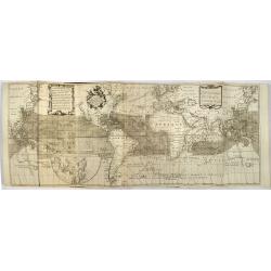
Atlas van Zeevaert en Koophandel door de Geheele Weereldt.
1745 OTTENS, R. / J. - Atlas van Zeevaert en Koophandel door de Geheele Weereldt.
Date: Amsterdam, 1745
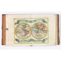
Der curiose und ... Nüssliche Dollmetscher..
1748 ERDMAN MACHENBAUER, J.A. - Rare atlas with 30 finely hand colored maps and containing geographical descriptions of all continents
Date: Augsburg, 1748
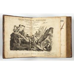
Introduction a la Geographie
1756 LE ROUGE, G.L - Atlas with 91 double-page engraved maps
Date: Paris, 1756
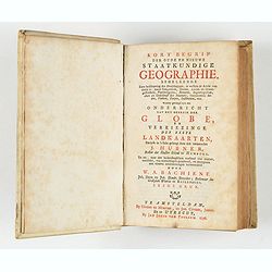
Kort begrip der oude en nieuwe staatkundige Geographie: behelzende eene beschryving der heerschappyen, in welken de aarde verdeeld is, haare gelegenheid. . .
1758 HUBNER, J. / BACHIENE, W. A. - Kort begrip der oude en nieuwe staatkundige Geographie: behelzende eene beschryving der heerschappyen, in welken de aarde verdeeld ...
Date: Amsterdam, Covens / Mortier, Utrecht, Poolsum, 1758

Ch'onha chido.[Atlas of all under Heaven]
1760 ANONYMOUS - Ch'onha chido.[Atlas of all under Heaven]
Date: Korea, ca. 1760
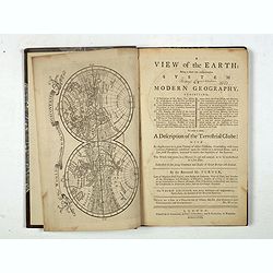
A view of the earth : being a short but comprehensive system of modern geography graphy ...
1771 TURNER, R. - A view of the earth : being a short but comprehensive system of modern geography graphy ...
Date: London, S. Crowder and S. Gamidge, 1771

Ch'onha chido. [Atlas of all under Heaven]
1780 ANONYMOUS - Ch'onha chido. [Atlas of all under Heaven]
Date: Korea, ca. 1780
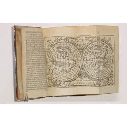
Tablaeu de l'Univers premiere partie/ .. seconde partie.
1784 DESOER, F.J. - Tablaeu de l'Univers premiere partie/ .. seconde partie.
Date: Luik, Belgium, 1784
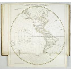
Atlas in elephant folio.
1786 ANVILLE, J.B.B.d'. - Atlas in elephant folio.
Date: Paris, 1771-1786

CH'ONHA CHIDO [Atlas of all under Heaven]
1790 Anonymous - CH'ONHA CHIDO [Atlas of all under Heaven]
Date: Korea, ca. 1790
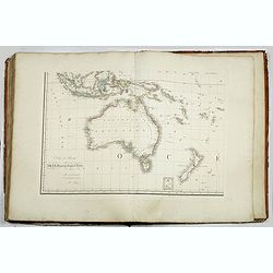
Grand atlas universel ou collection de cartes encyprotypes, générales et détaillées des cinq parties du monde.
1816 BRUÉ, A.H. - Grand atlas universel ou collection de cartes encyprotypes, générales et détaillées des cinq parties du monde.
Date: Paris, Desray, 1816
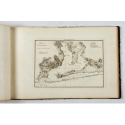
Portulano de la Ameririca Setentrional construido en la direccion de tabajos.
1818 JOAQUIN FERRE Y CAFRANGA - Portulano de la Ameririca Setentrional construido en la direccion de tabajos.
Date: Madrid, 1818
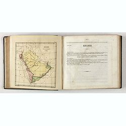
Bibliomappe. Chronologie Historique et Géographique par MM. Année et Vivien bound with : Bibliomappe, ou Livre-Cartes: Leçons Méthodiques de Chronologie et de Géographie, . . .
1826 ANNEE et VIVIEN / [BAILLEUL, Jacques-Charles]. - Bibliomappe. Chronologie Historique et Géographique, in two volumes, with 67 maps
Date: Paris, Renard, 1827 / 1824-1826
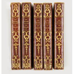
Les jeunes voyageurs en Europe, ou description raisonnée des divers pays compris dans cette partie du monde.
1827 (BRIAND, P.-C.). - Les jeunes voyageurs en Europe, ou description raisonnée des divers pays compris dans cette partie du monde.
Date: Paris, Thiériot, 1827
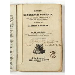
Korte geographische oefeningen voor het eerste onderwijs in de kennis der geheele aarde
1843 PRINSEN, P.J. - Korte geographische oefeningen voor het eerste onderwijs in de kennis der geheele aarde
Date: Zaltbommel, 1843

[Collection of six maps of Australia and New Zealand.]
1852 DUMONT D'URVILLE, J.S.C. - [Collection of six maps of Australia and New Zealand.]
Date: Germany, 1832-1852
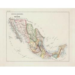
Volume III of the monumental atlas, ‘L’Orbe Cattolico ossia Atlante Geografico Storico Ecclesiastico’.
1858 PETRI G. - Volume III of the monumental atlas, ‘L’Orbe Cattolico ossia Atlante Geografico Storico Ecclesiastico’.
Date: Rome, 1858
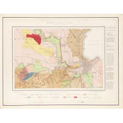
Geological Survey of Victoria.
1864 GSV / SELWYN, A. R. C. - Geological Survey of Victoria.
Date: Mining and Geological Department, Melbourne, ca. 1864
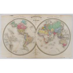
Atlas usuel de Géographie Moderne…
1865 ANDRIVEAU, J. / GOUJON, J. / BRUE - Atlas usuel de Géographie Moderne…
Date: Paris, c. 1865
Selling price: ????
Please login to see price!
Sold in 2024
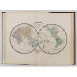
Atlas de Géographie Physique, Politique, Ancienne et Moderne contenant les cartes générales et particulières toutes les parties du Monde.
1875 BRUÉ, A.H. - Atlas de Géographie Physique, Politique, Ancienne et Moderne contenant les cartes générales et particulières toutes les parties du Monde.
Date: Paris, 1875
Selling price: ????
Please login to see price!
Sold in 2024
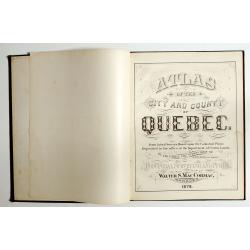
Atlas of the city and county of Quebec from actual surveys, based upon the cadastral plans deposited in the office of the Department of Crown Lands.
1879 HOPKINS, H.W. - This scarce city atlas of Quebec is illustrated with 18 hand-colored maps made by Henry Whitmer
Date: Provincial Surveying and Pub. Co., Walter, S, MacCormac, manager,1879
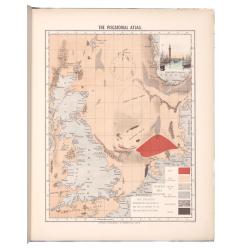
The piscatorial atlas of the North sea, English and St Georges Channels.
1883 O. T. OLSEN - One of the first publications on the North Sea, English and St. George’s Channels fisheries
Date: Londres, Taylor et Francis, 1883
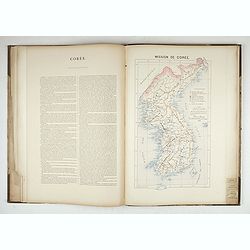
Atlas des Missions de la Société des Missions-Étrangères. . .
1890 LAUNAY, Adrien - Atlas des Missions de la Société des Missions-Étrangères. . .
Date: Lille, 1890
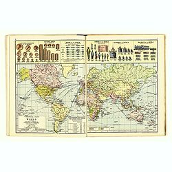
The Royal Primrose Atlas. 'A Complete Desk Companion & Blotter Combining The Most Interesting And Up-To-Date Maps ...
1914 KNIGHT, J. - The Royal Primrose Atlas. 'A Complete Desk Companion & Blotter Combining The Most Interesting And Up-To-Date Maps ...
Date: London, ca. 1914

[Atlas] Images du Monde. Atlas Illustré.
1942 SCHALL. - [Atlas] Images du Monde. Atlas Illustré.
Date: Paris, 1942
Selling price: ????
Please login to see price!
Sold in 2025
