Sign In or Sign Up
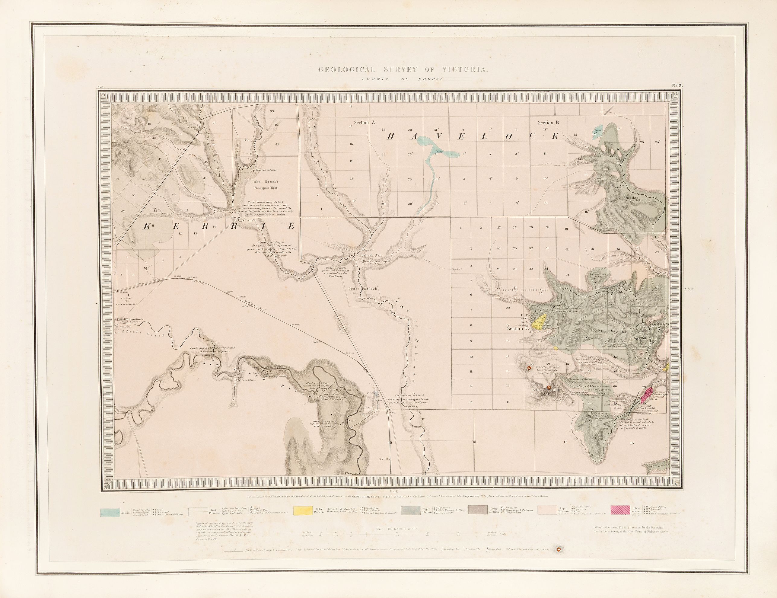
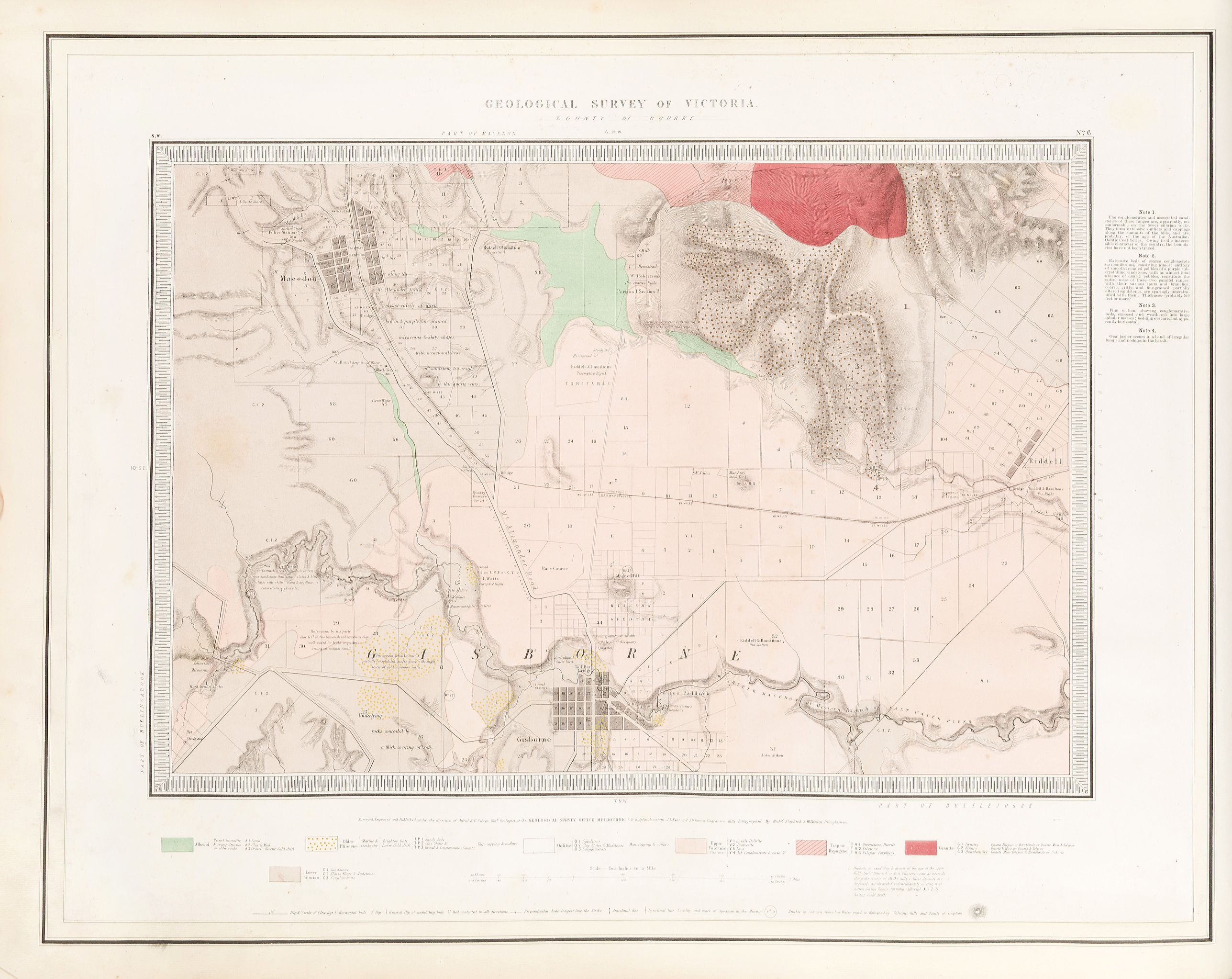
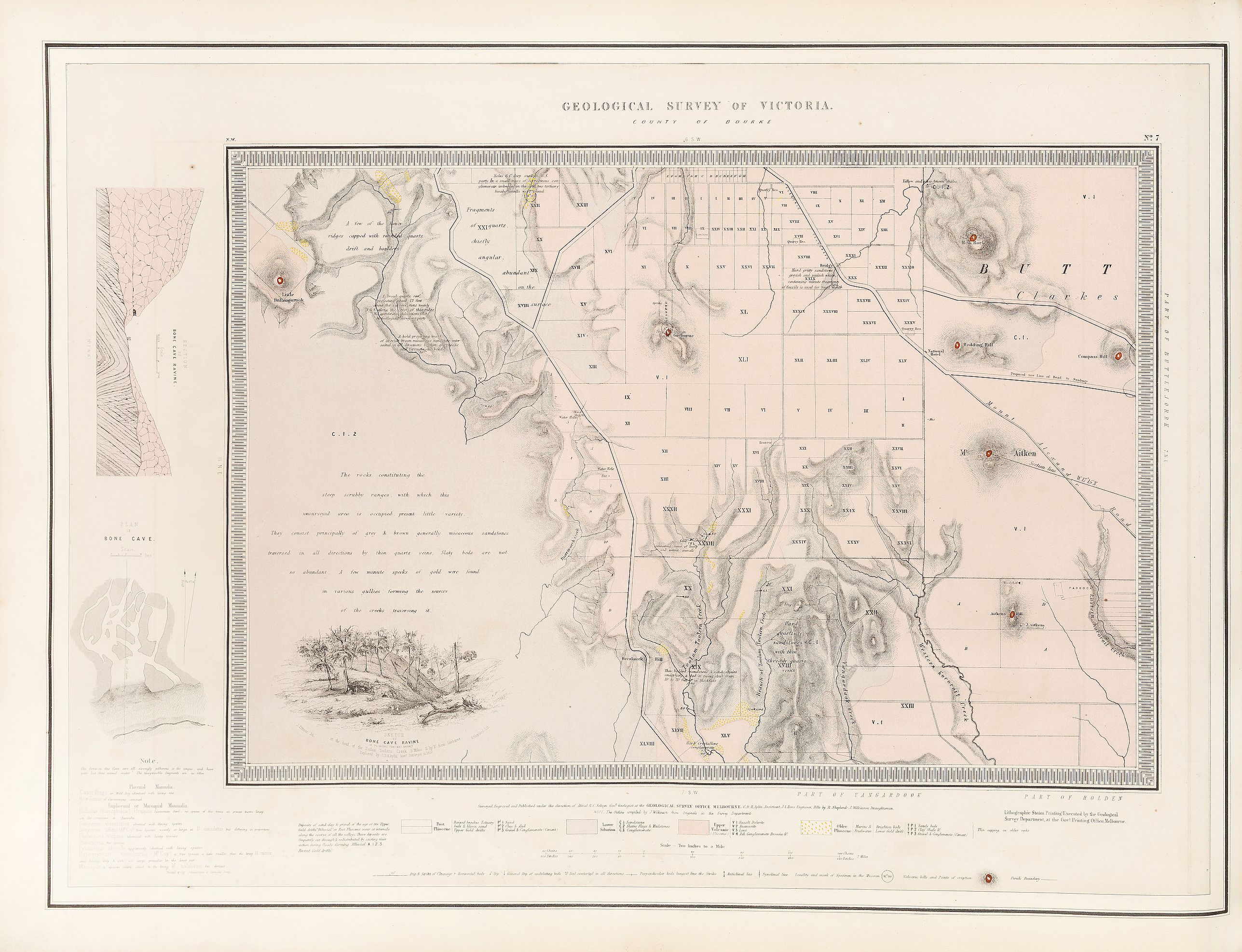
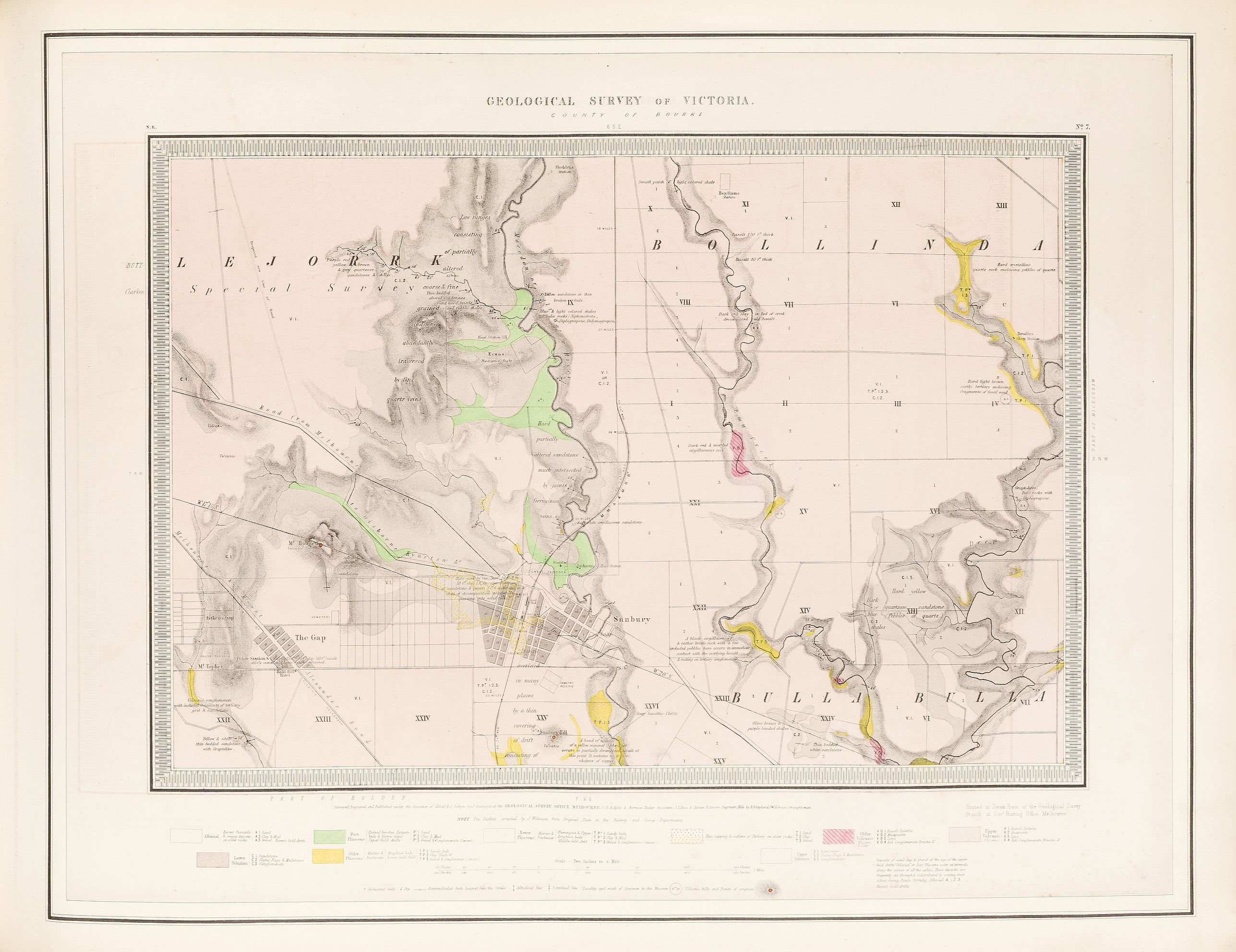
1864 GSV / SELWYN, A. R. C. - Geological Survey of Victoria.
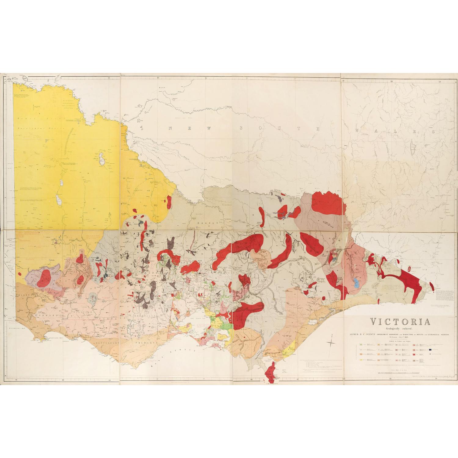
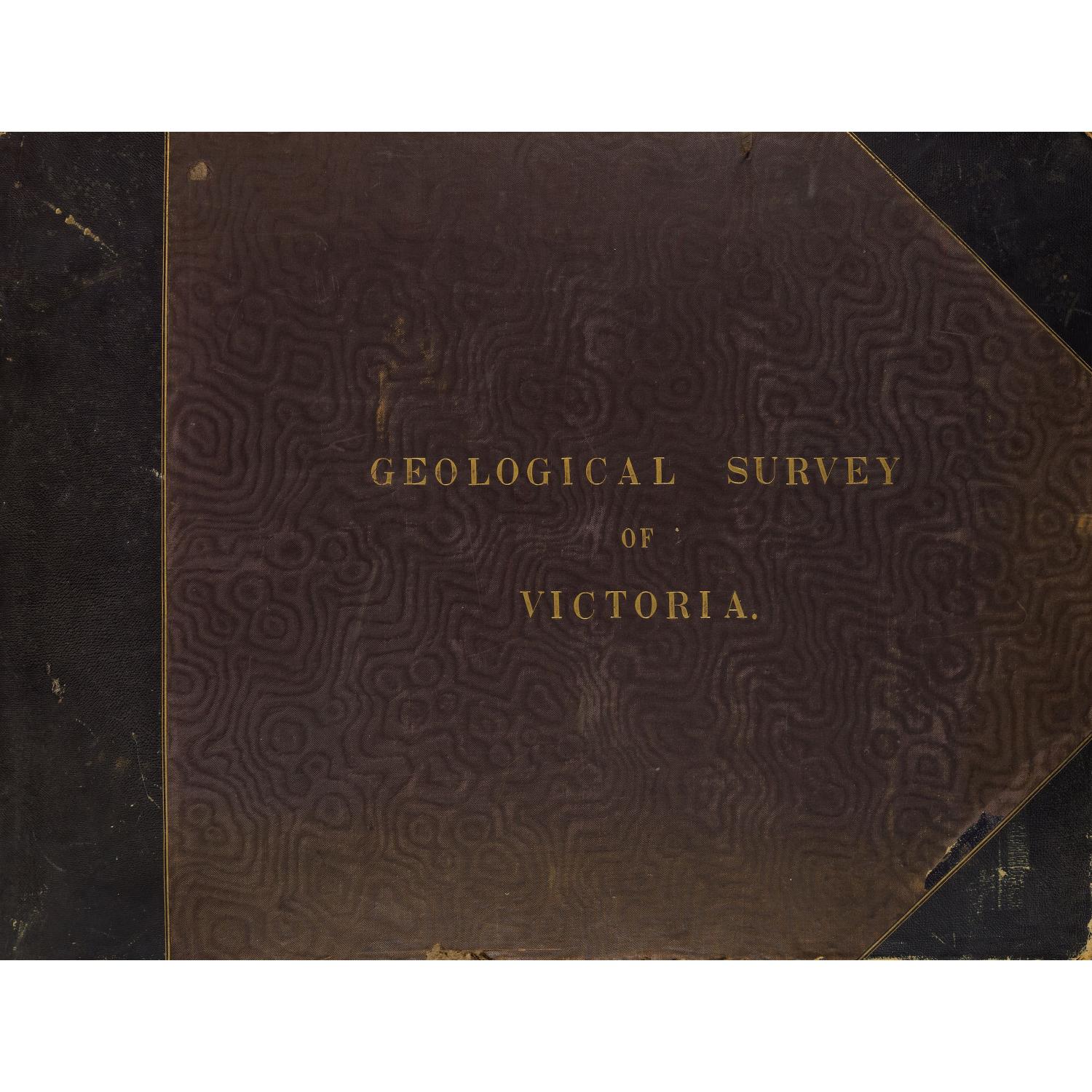
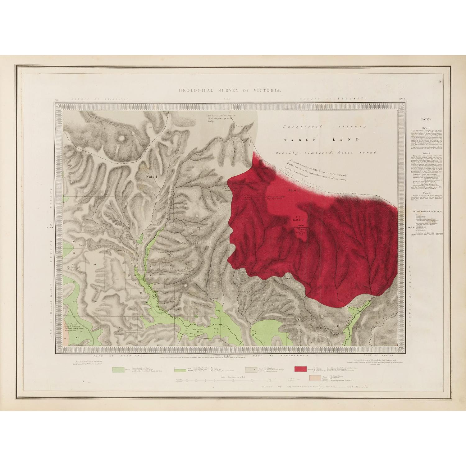
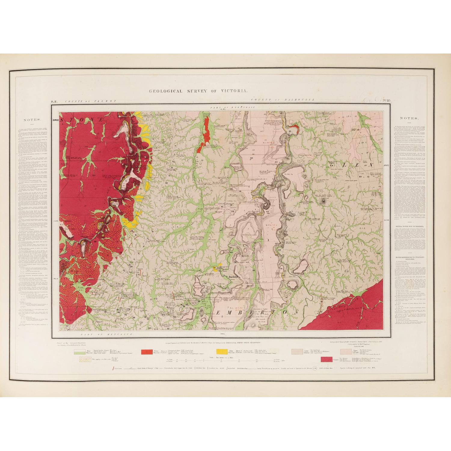
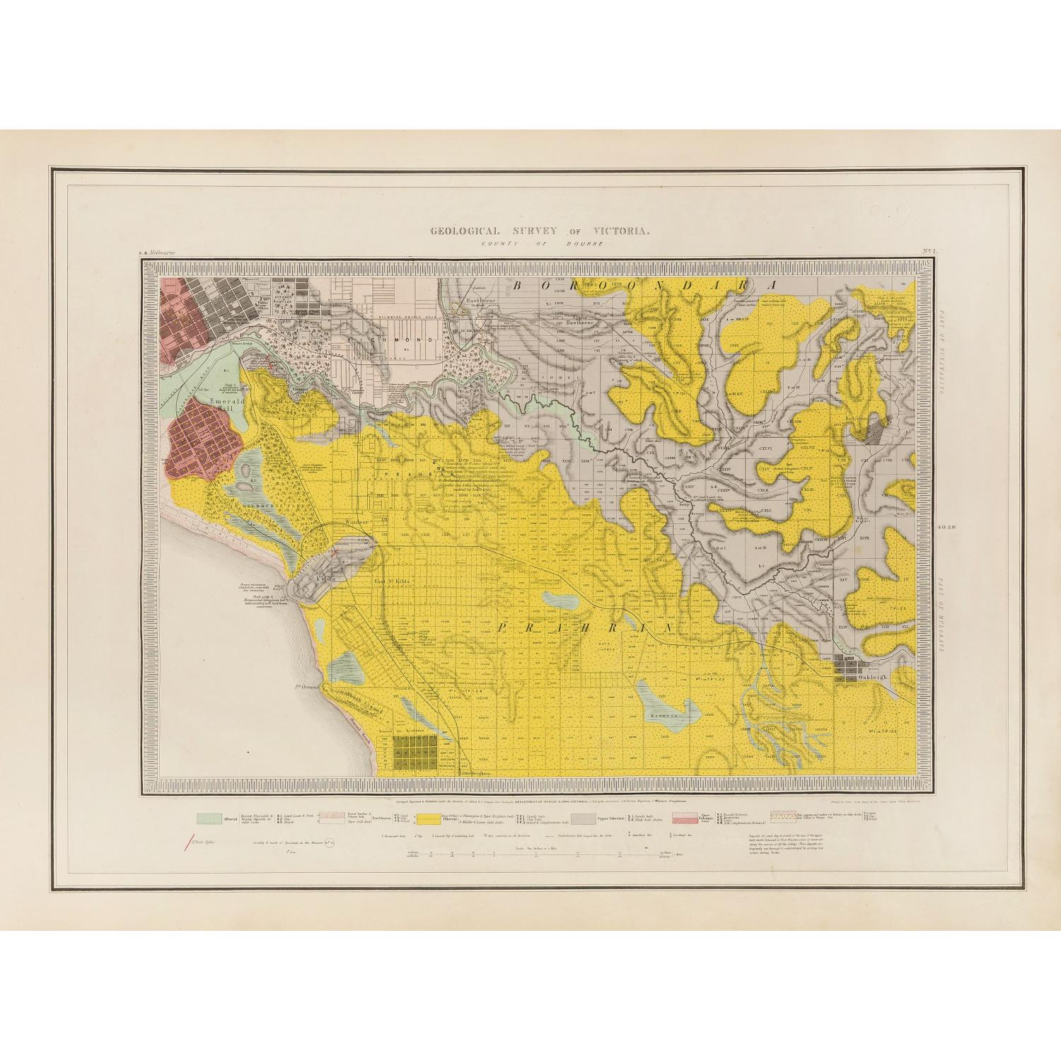
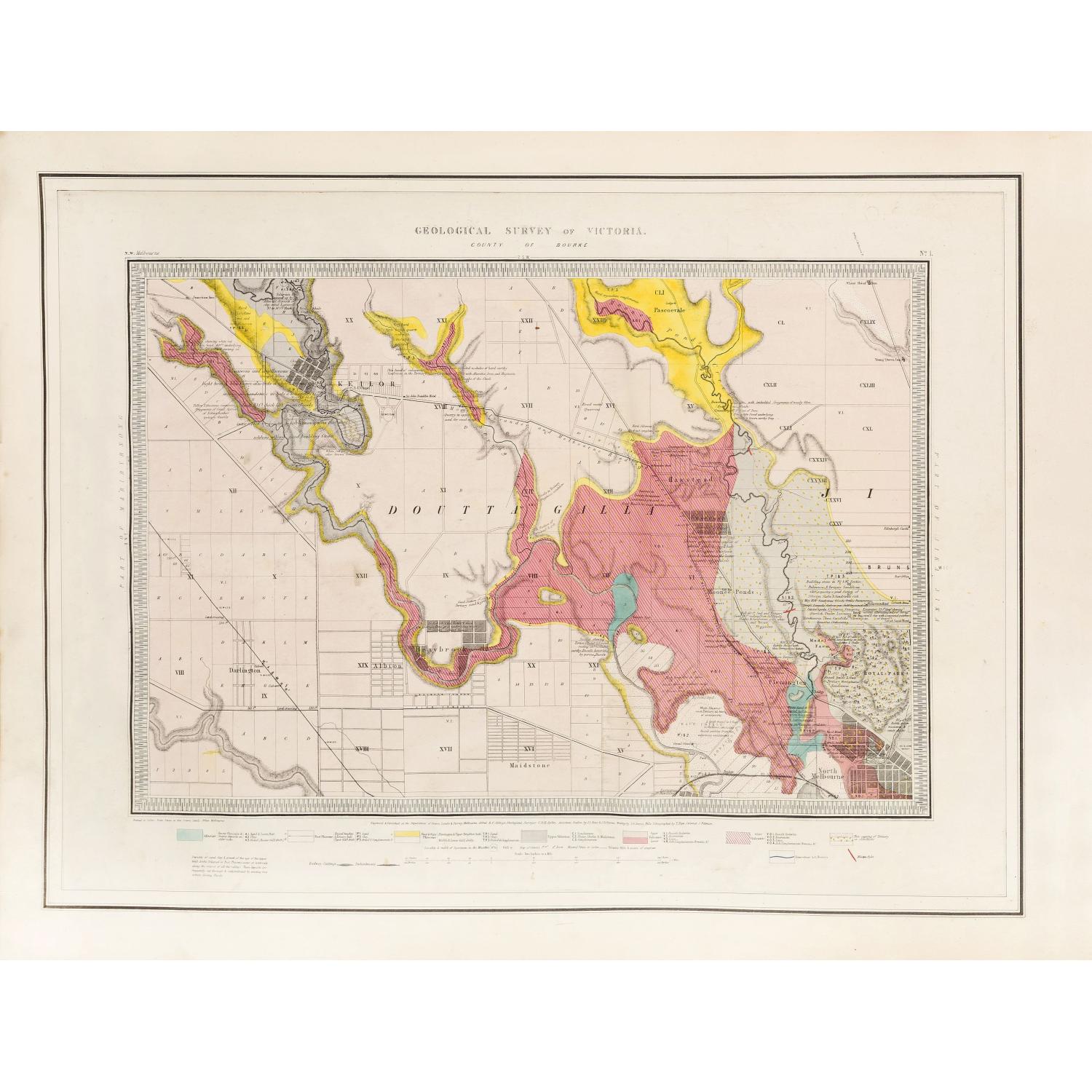
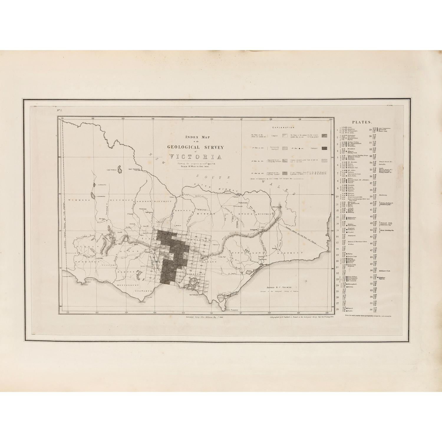
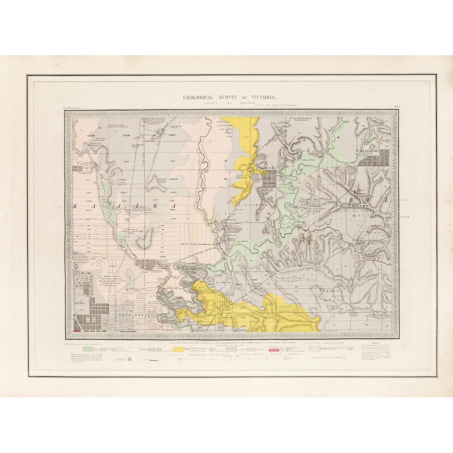
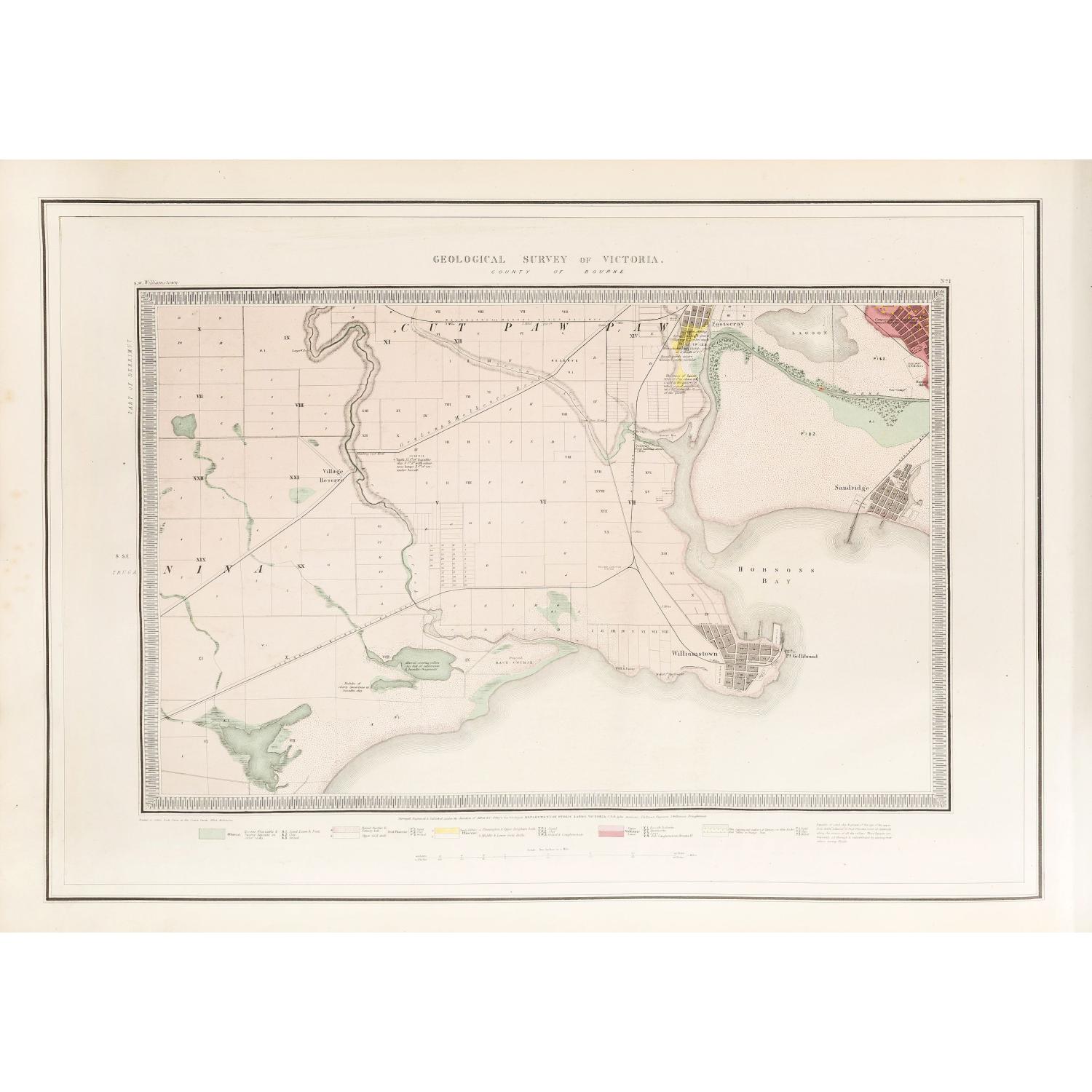
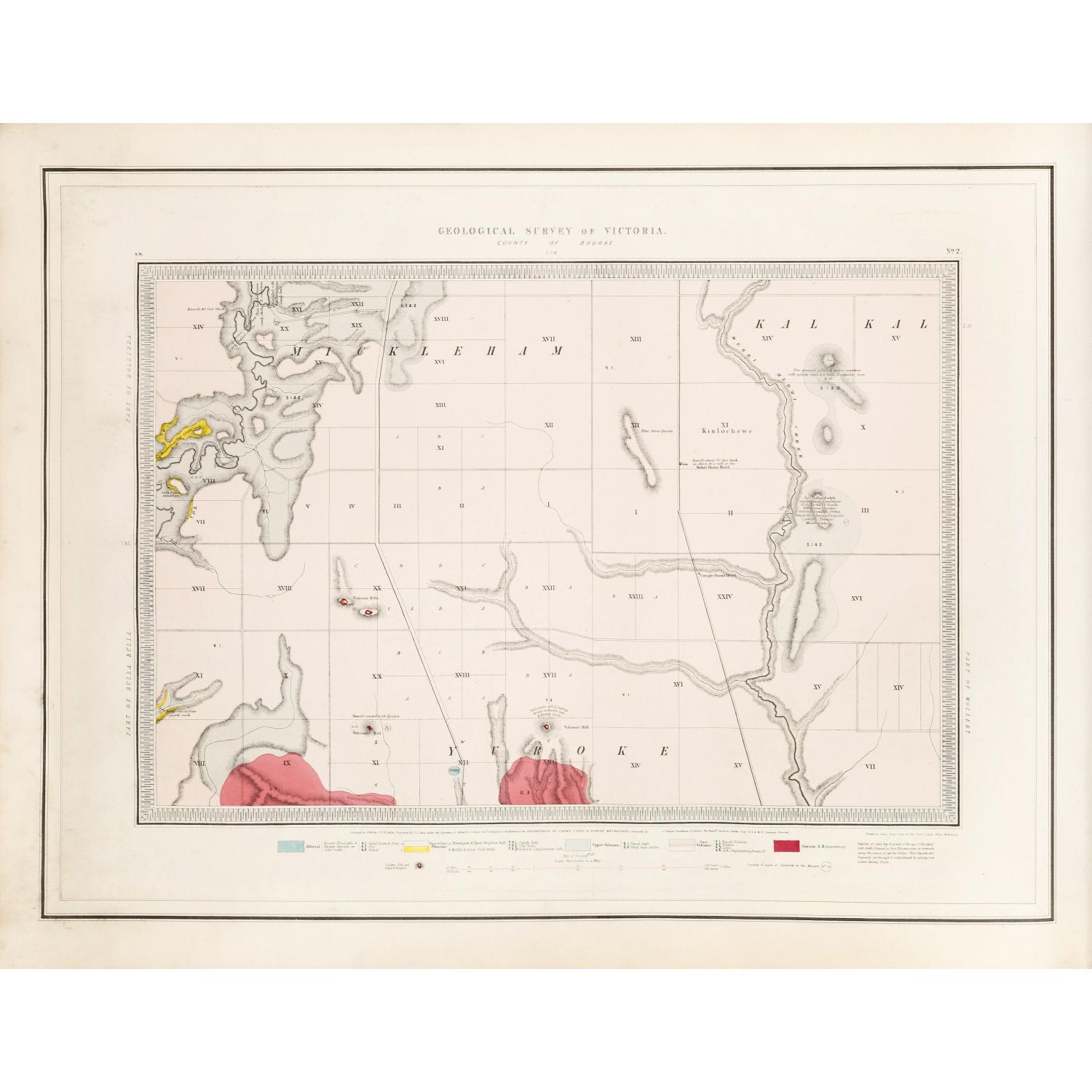
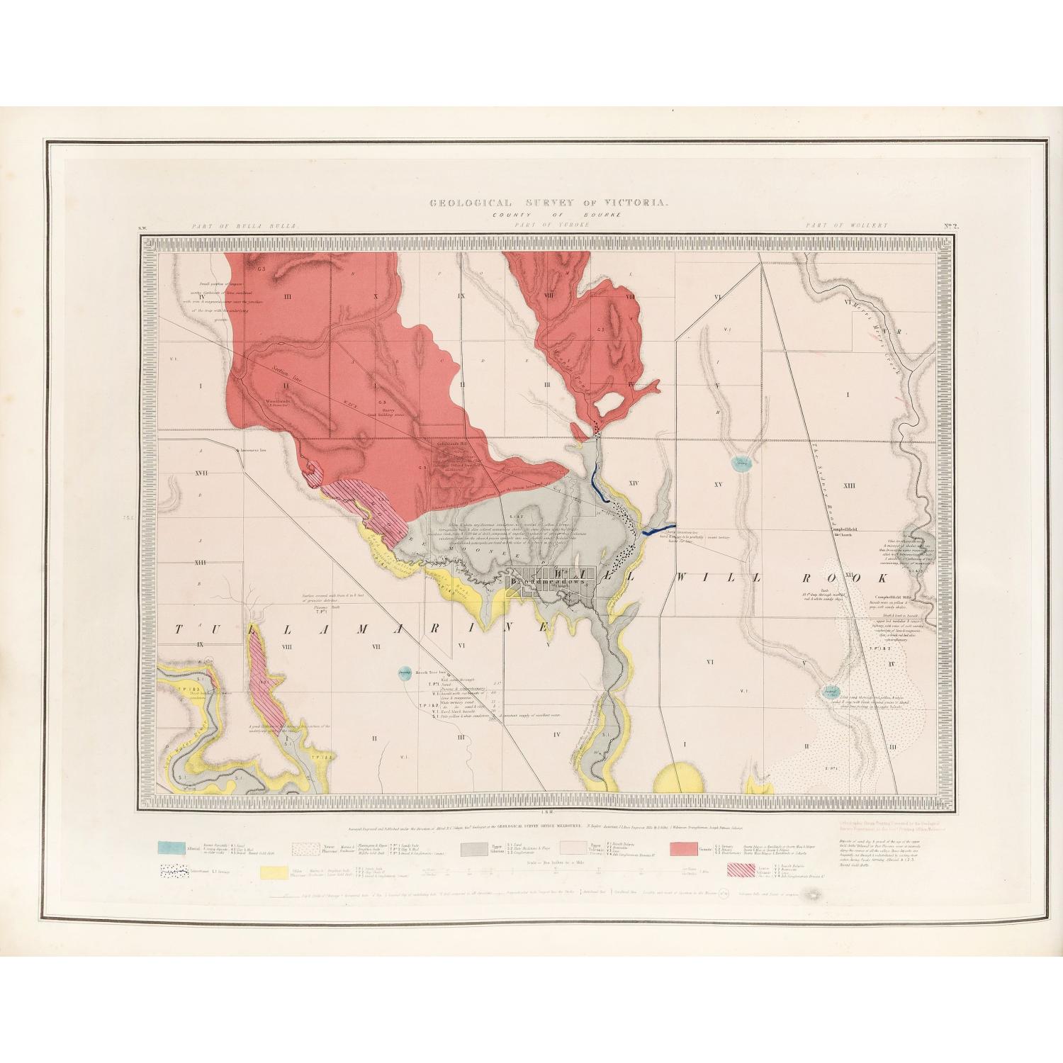
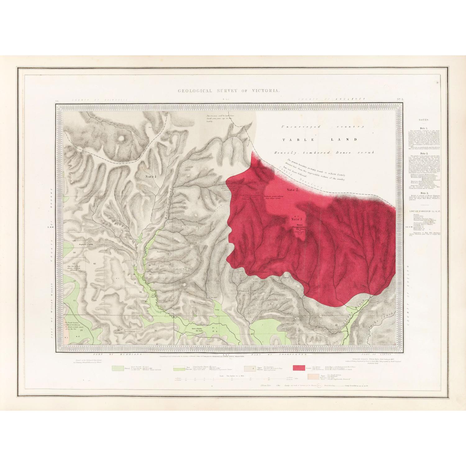
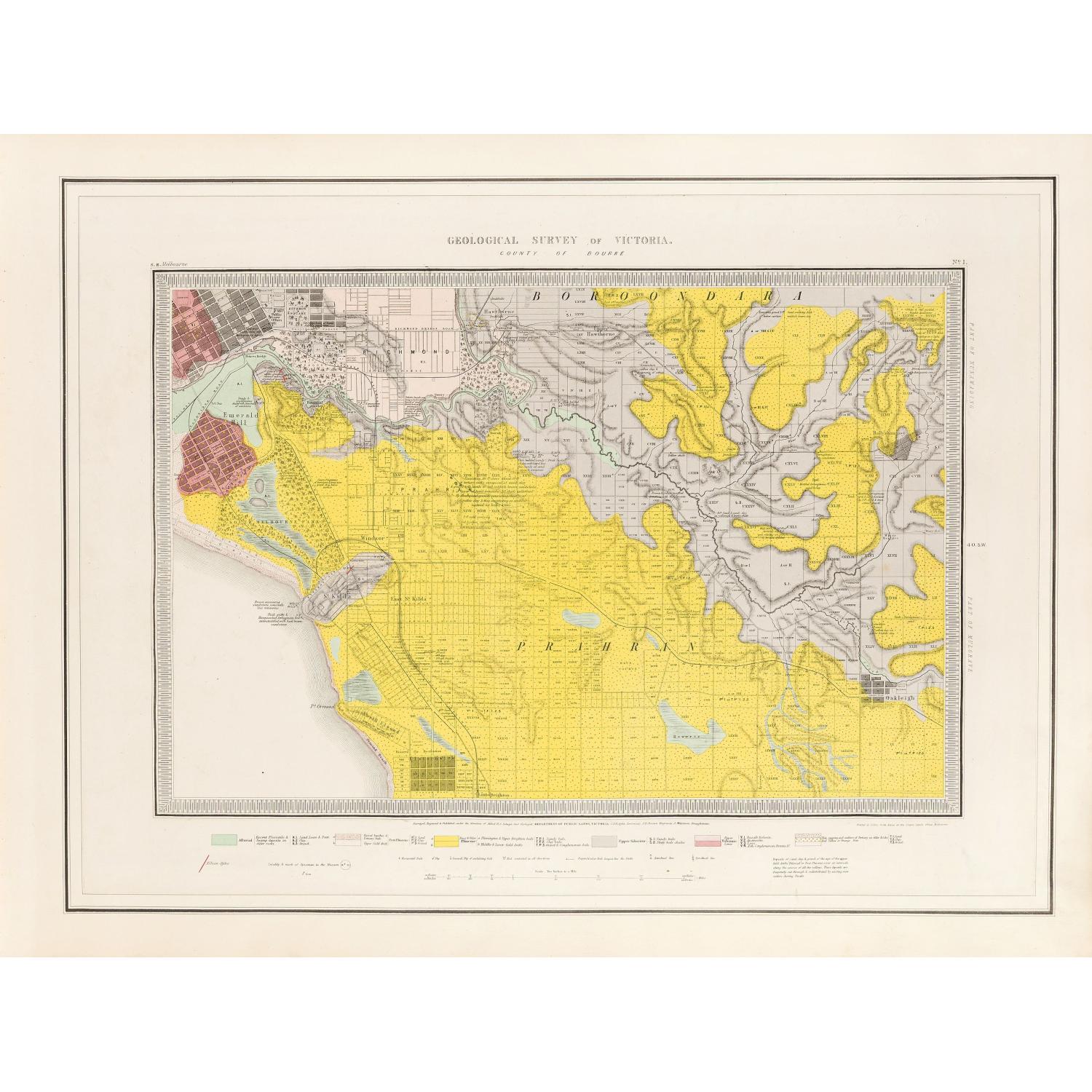
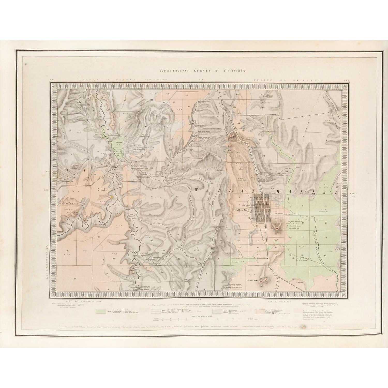
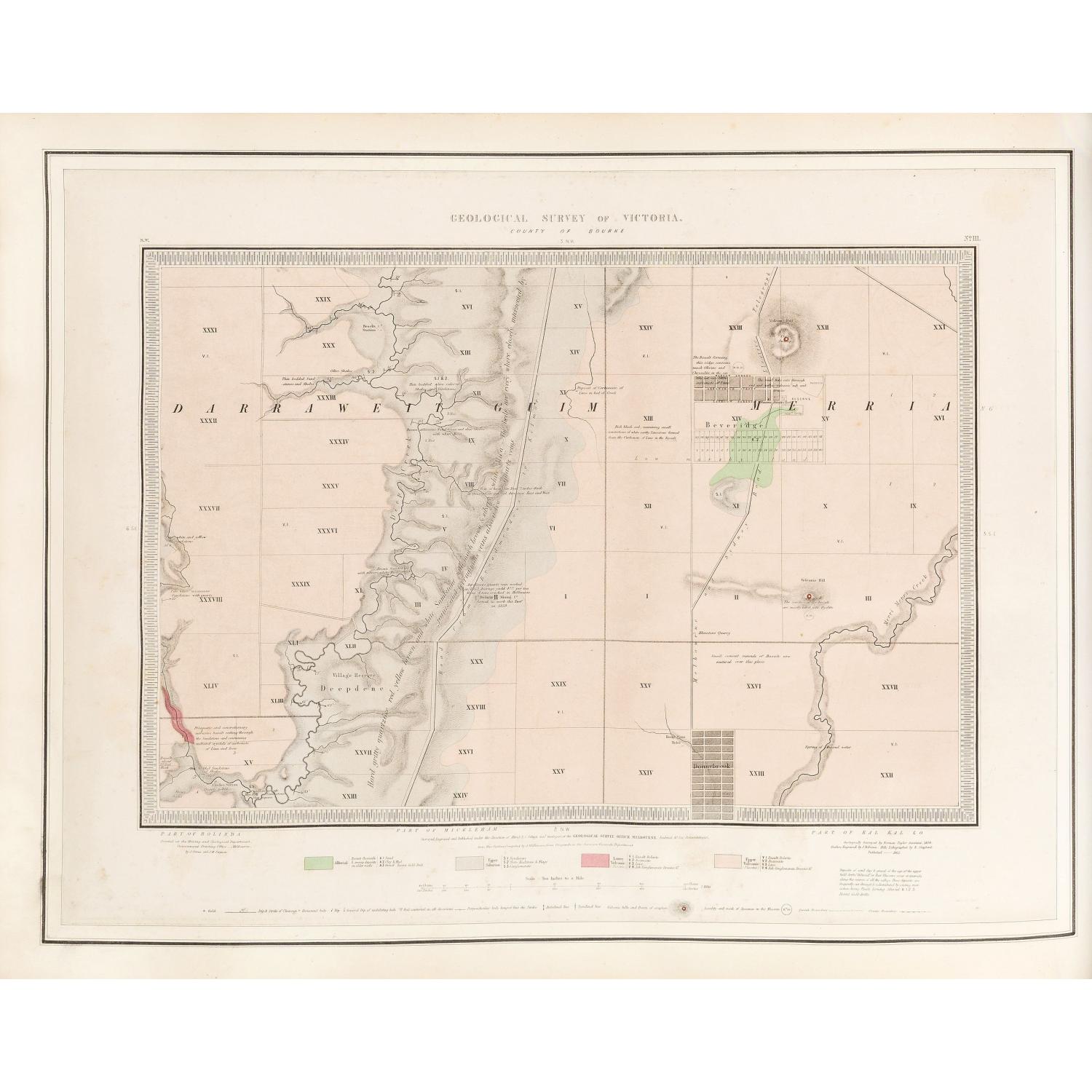
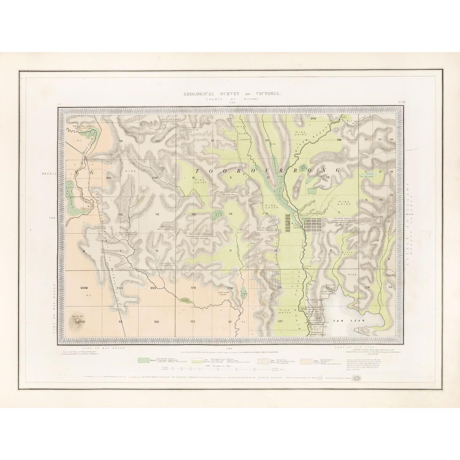
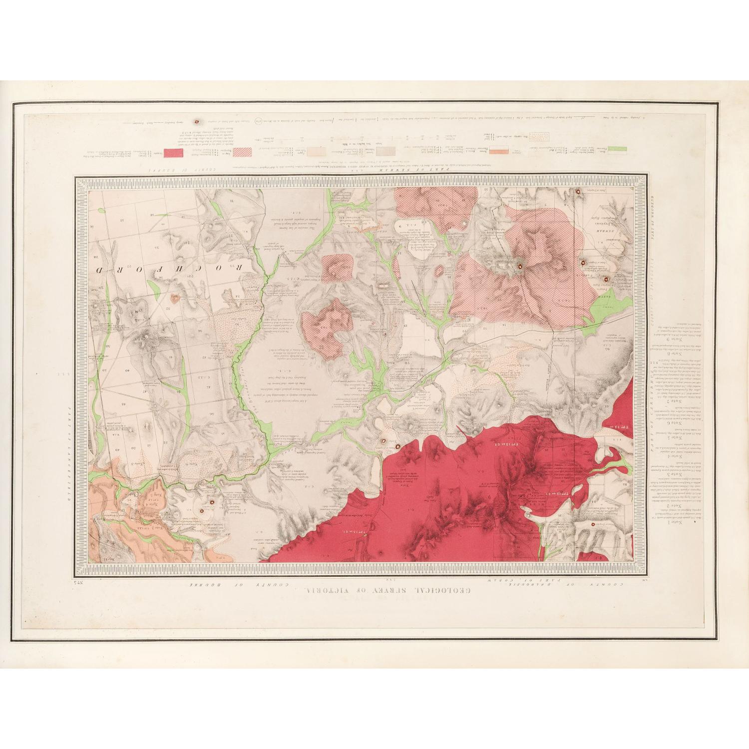
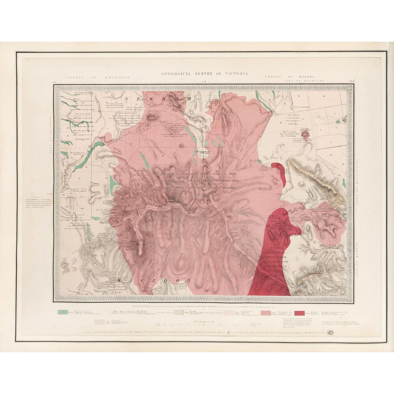
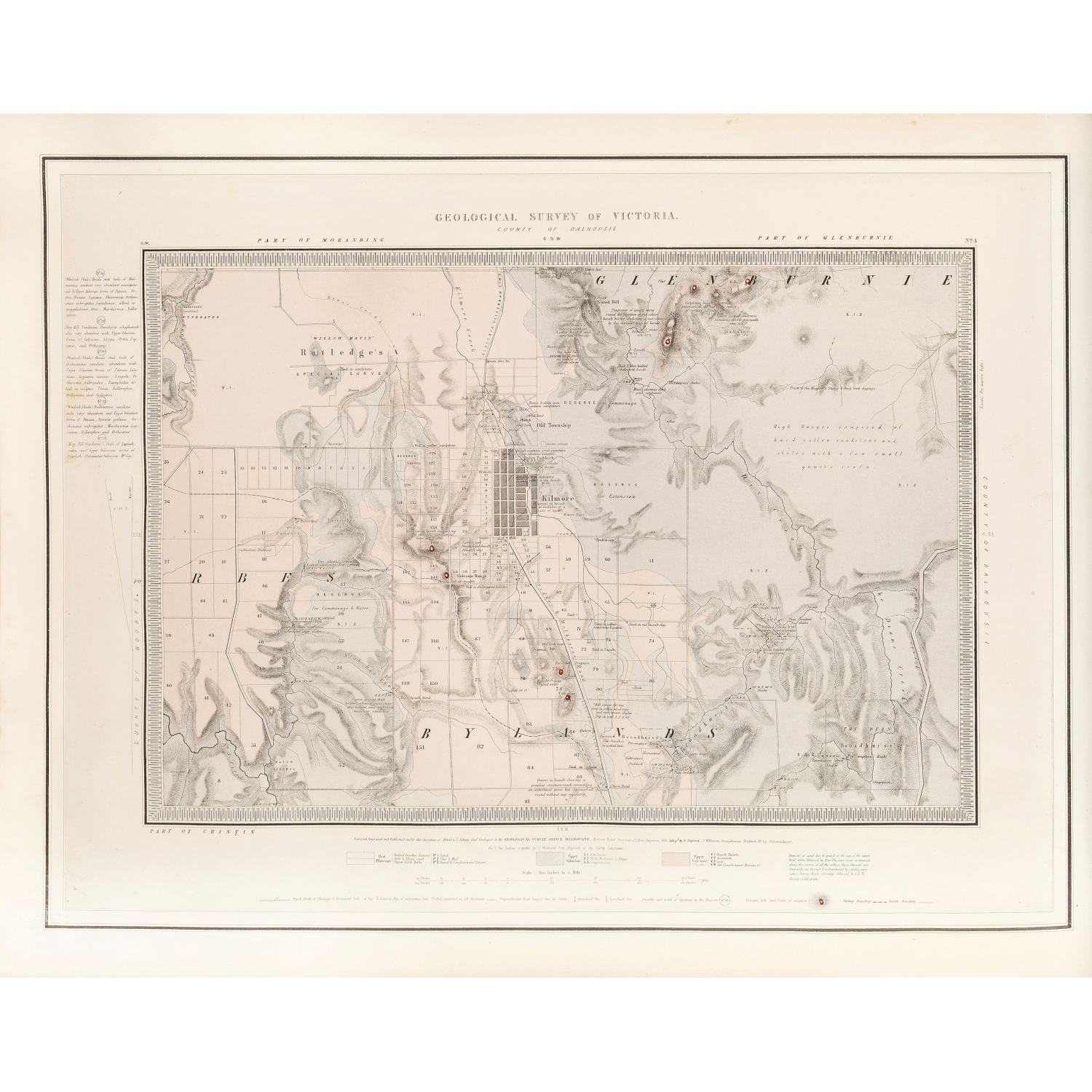
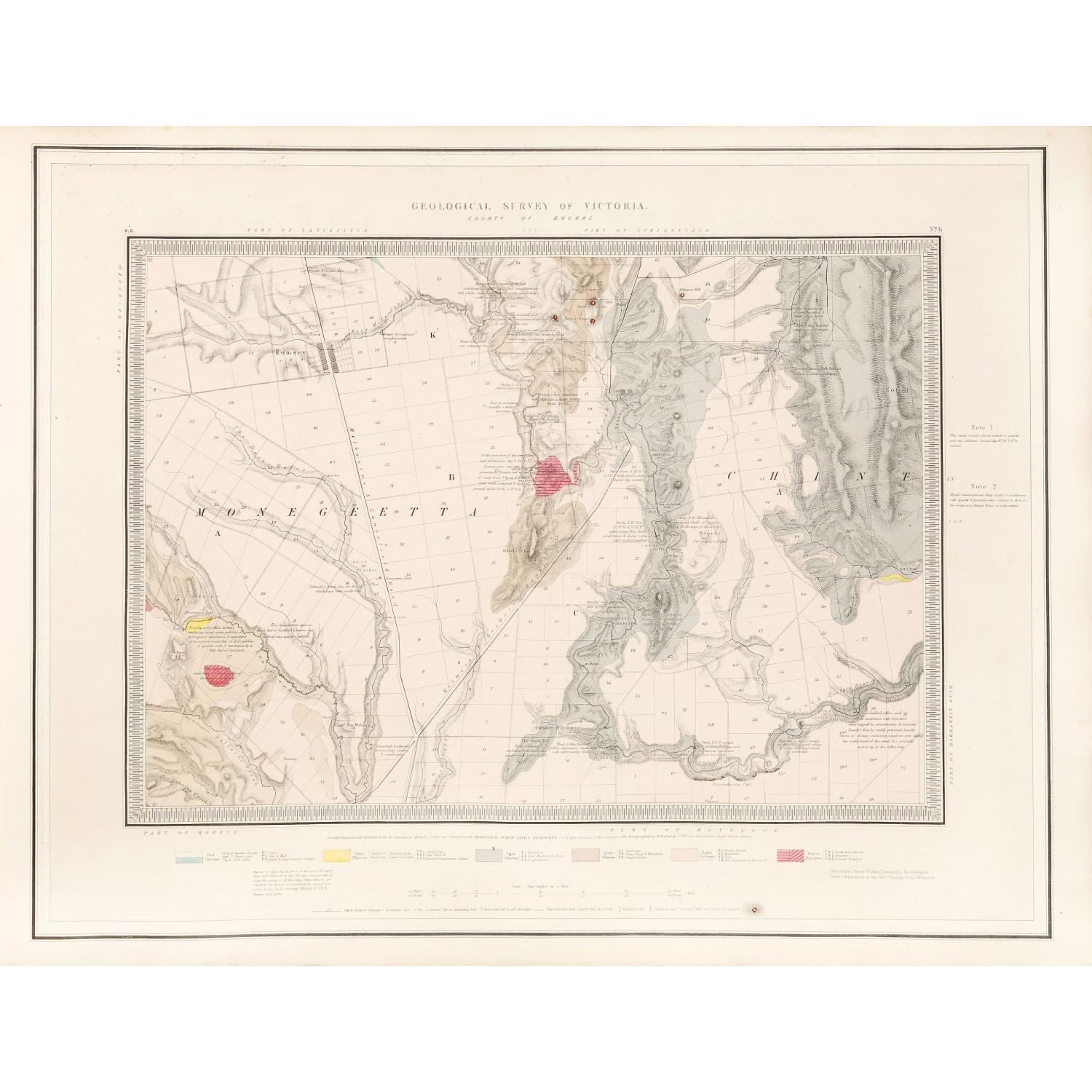
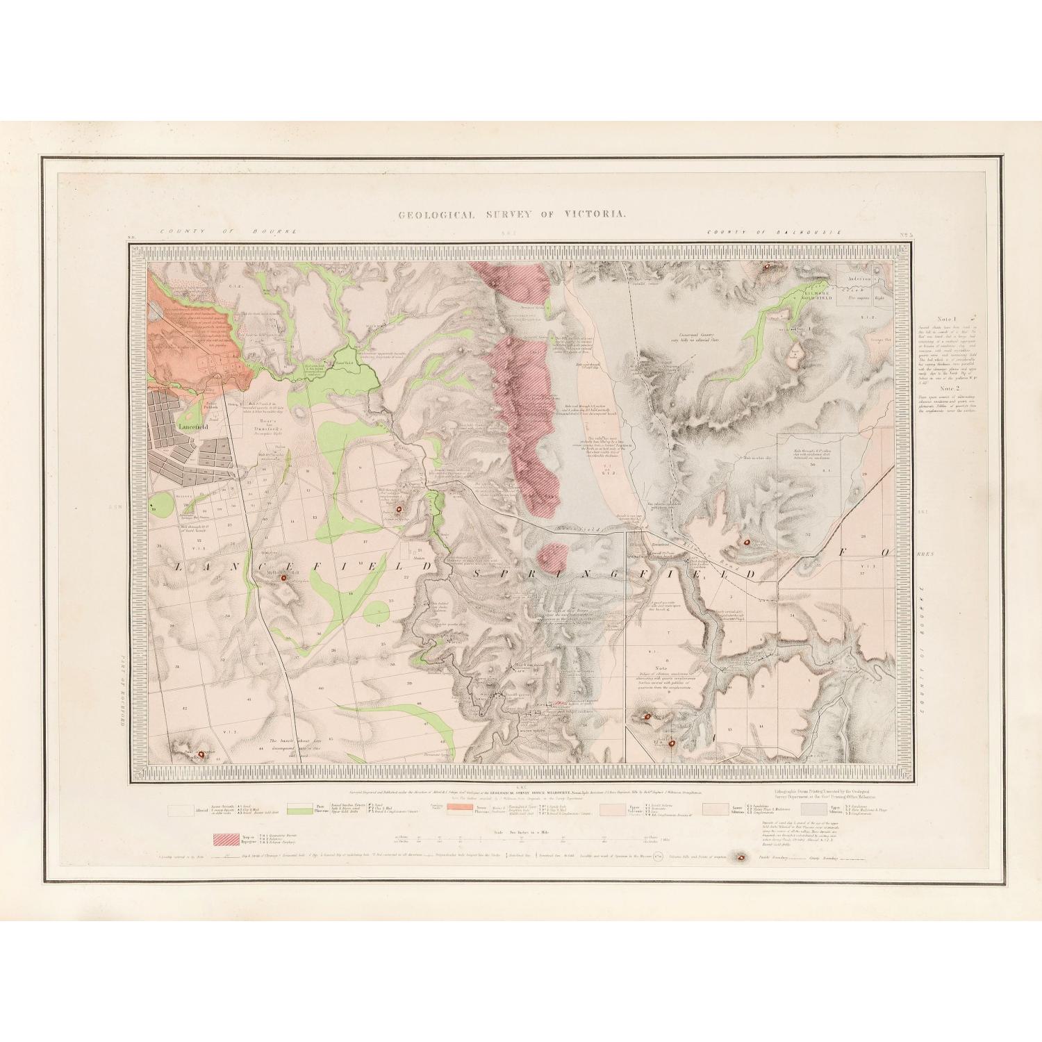
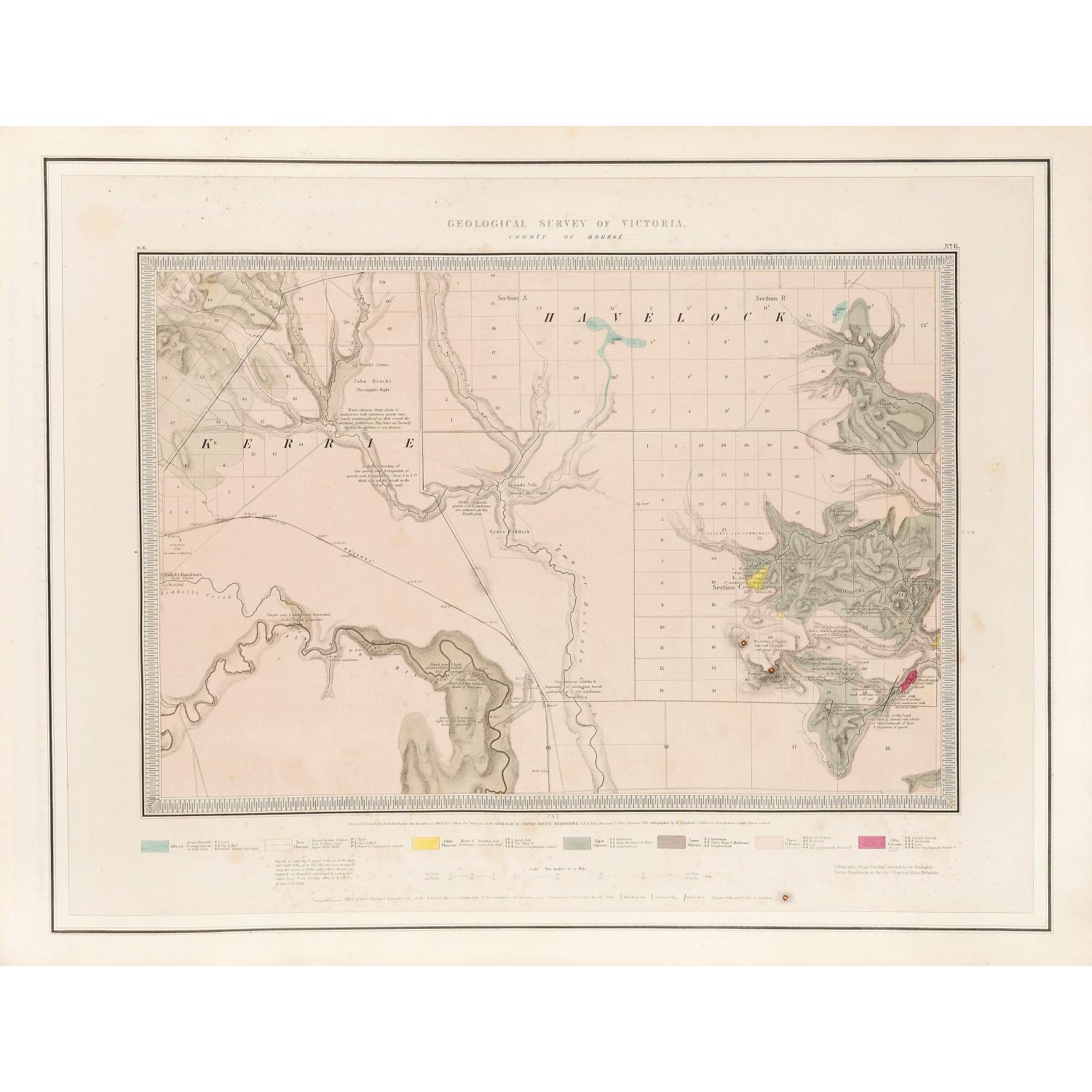
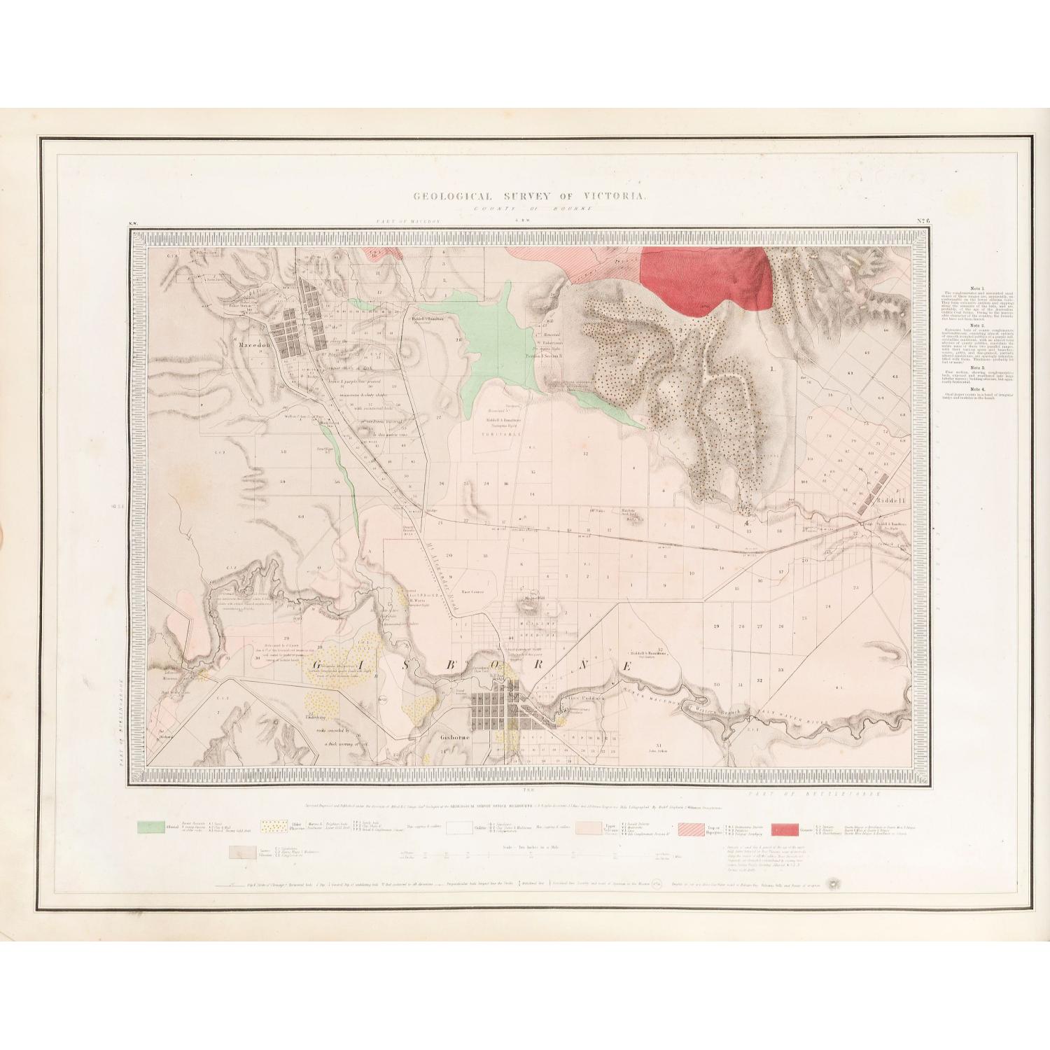
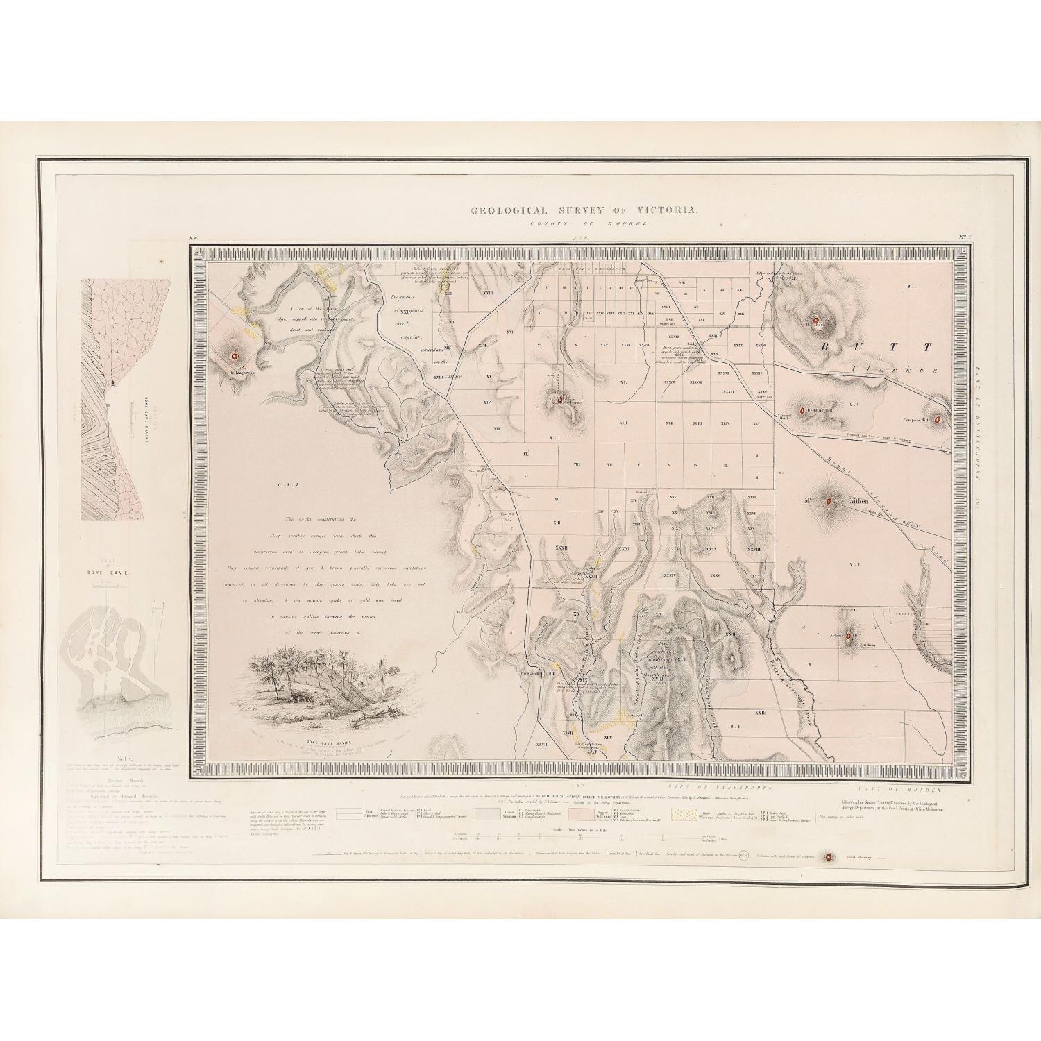
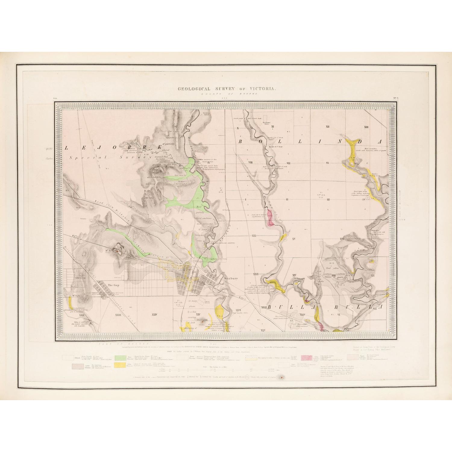
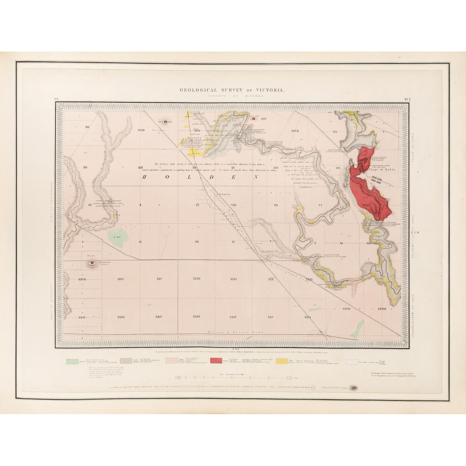
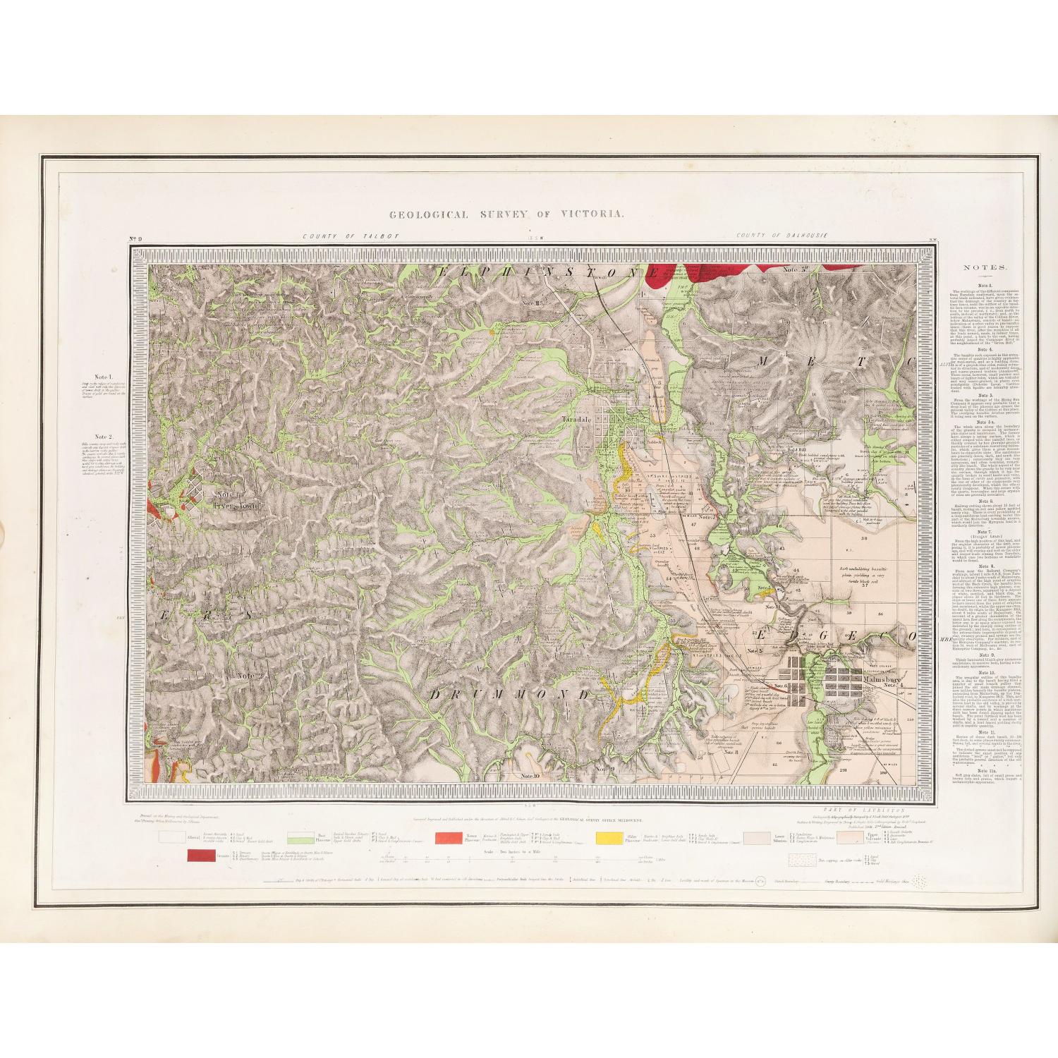
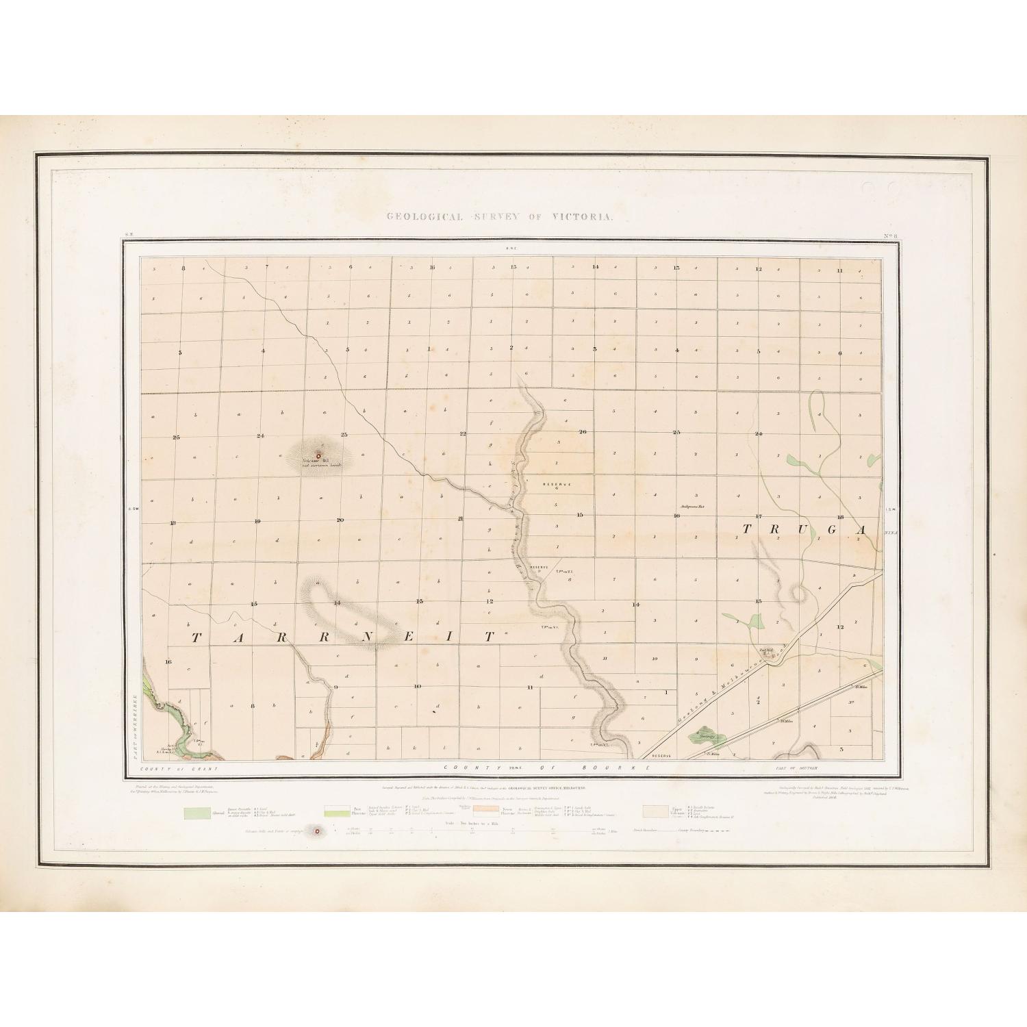
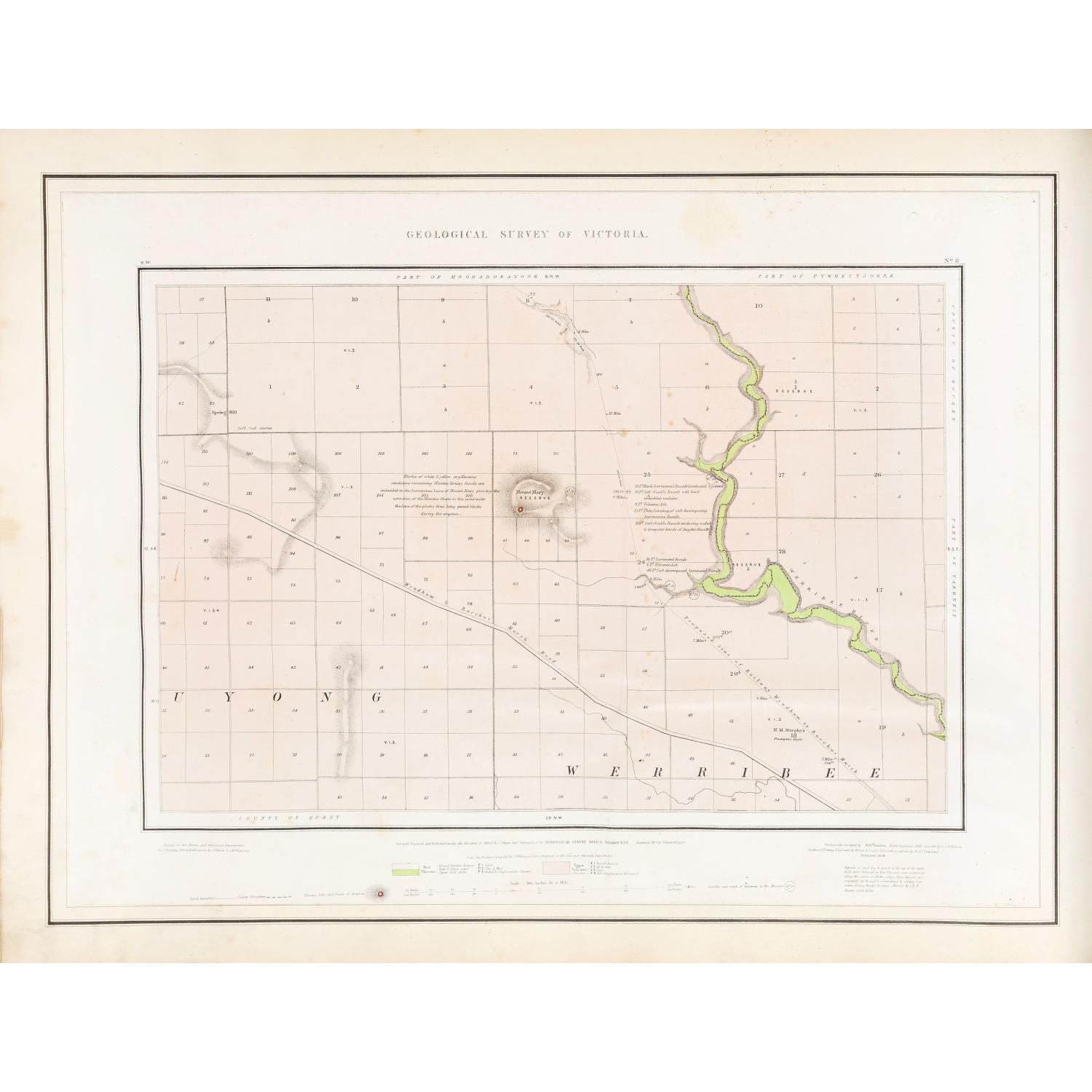
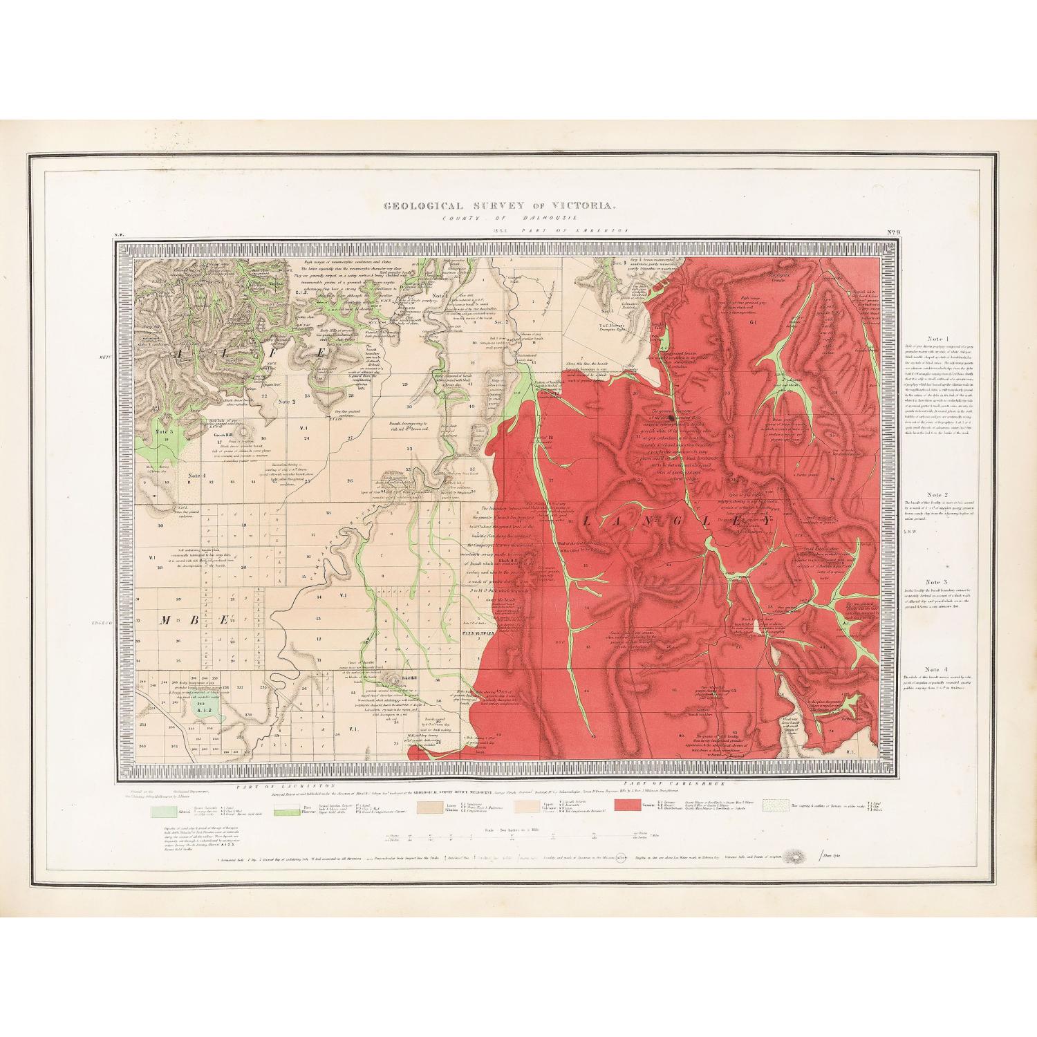
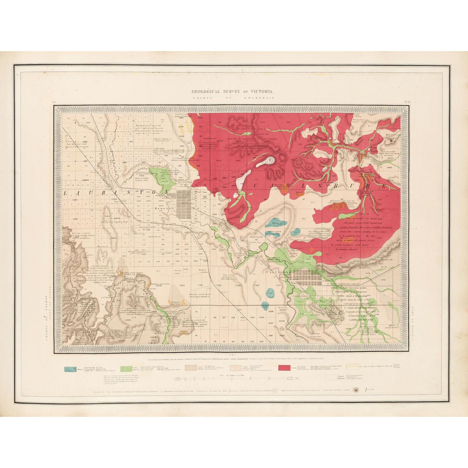
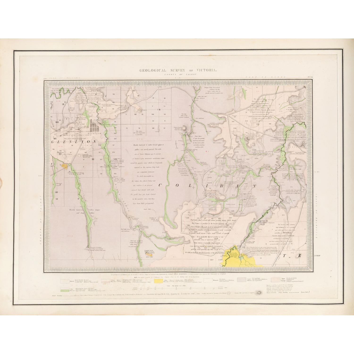
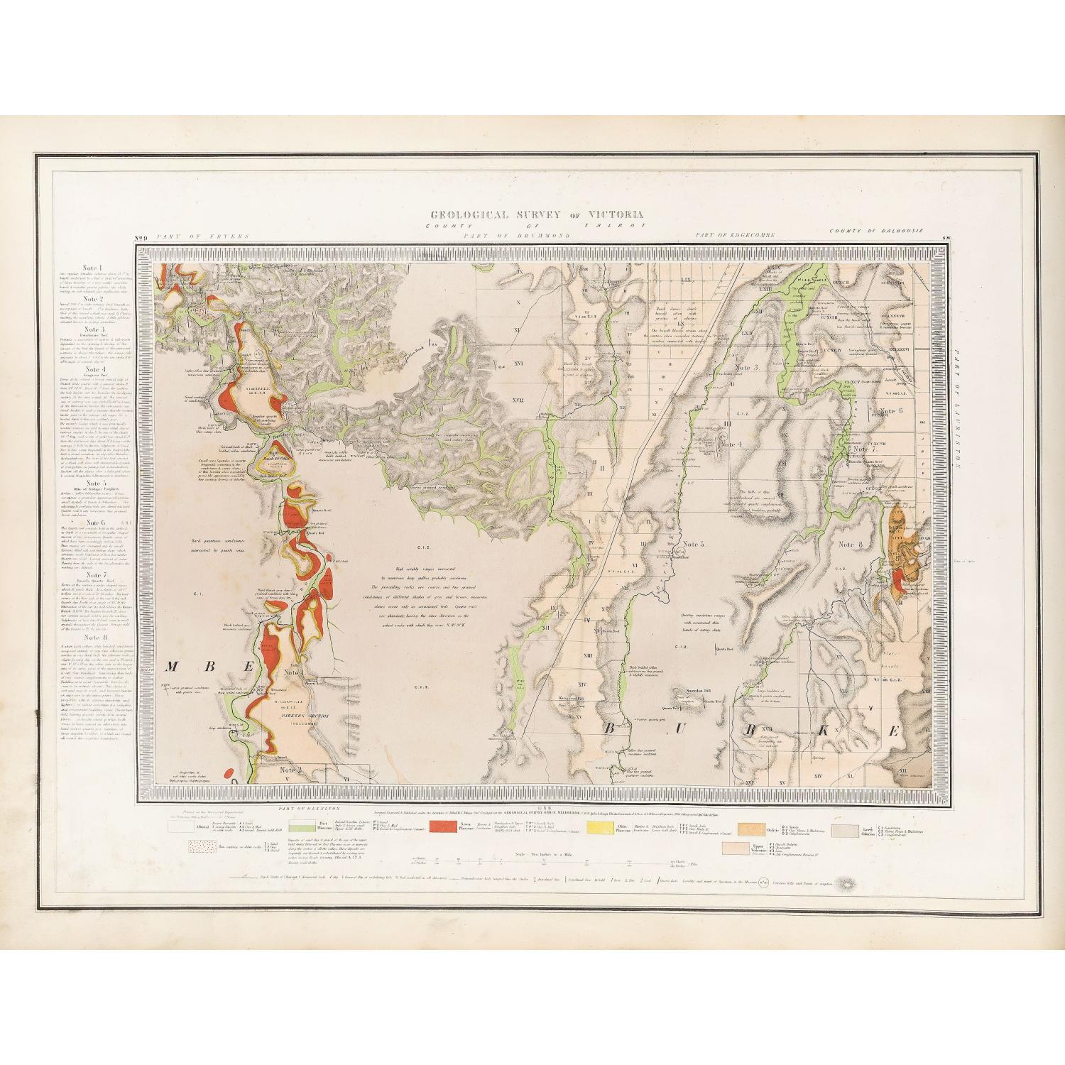
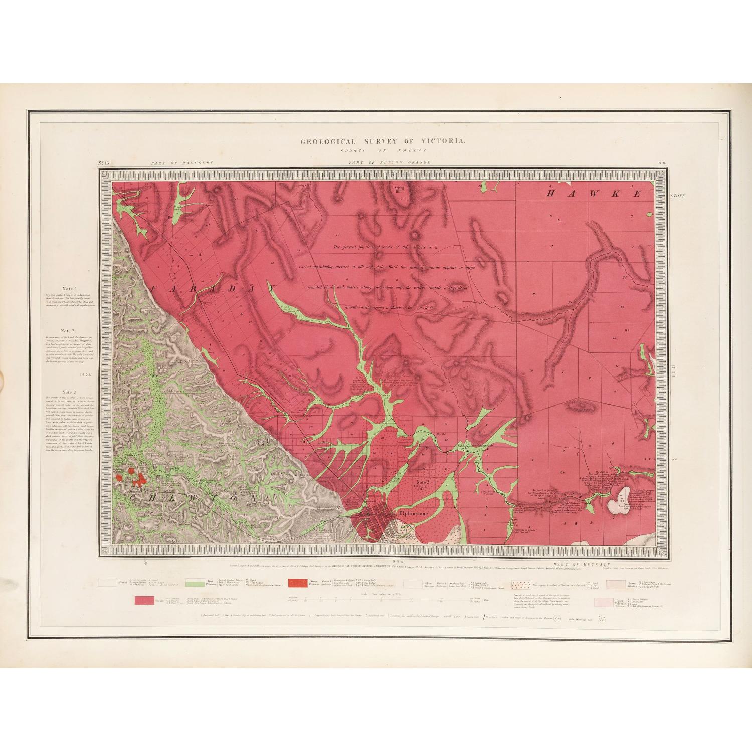
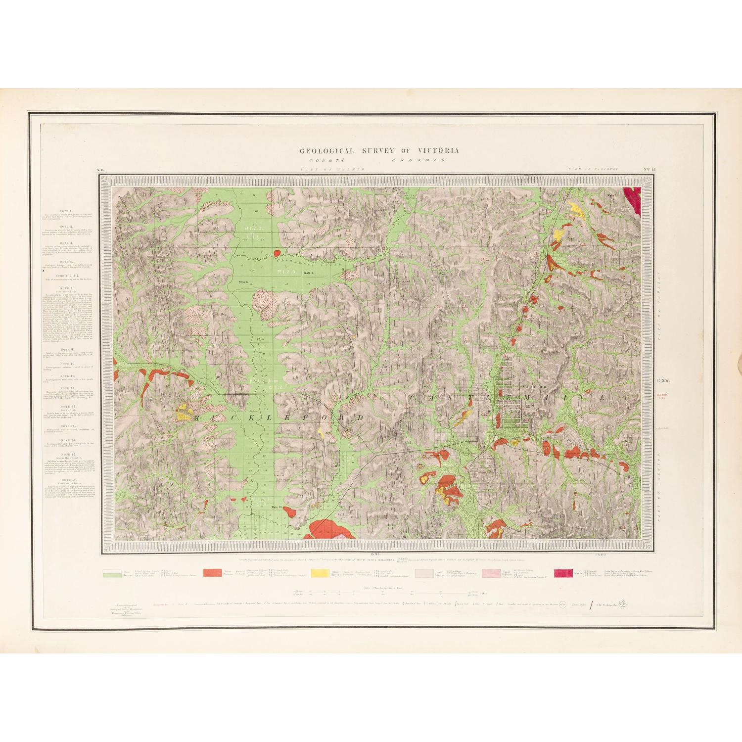
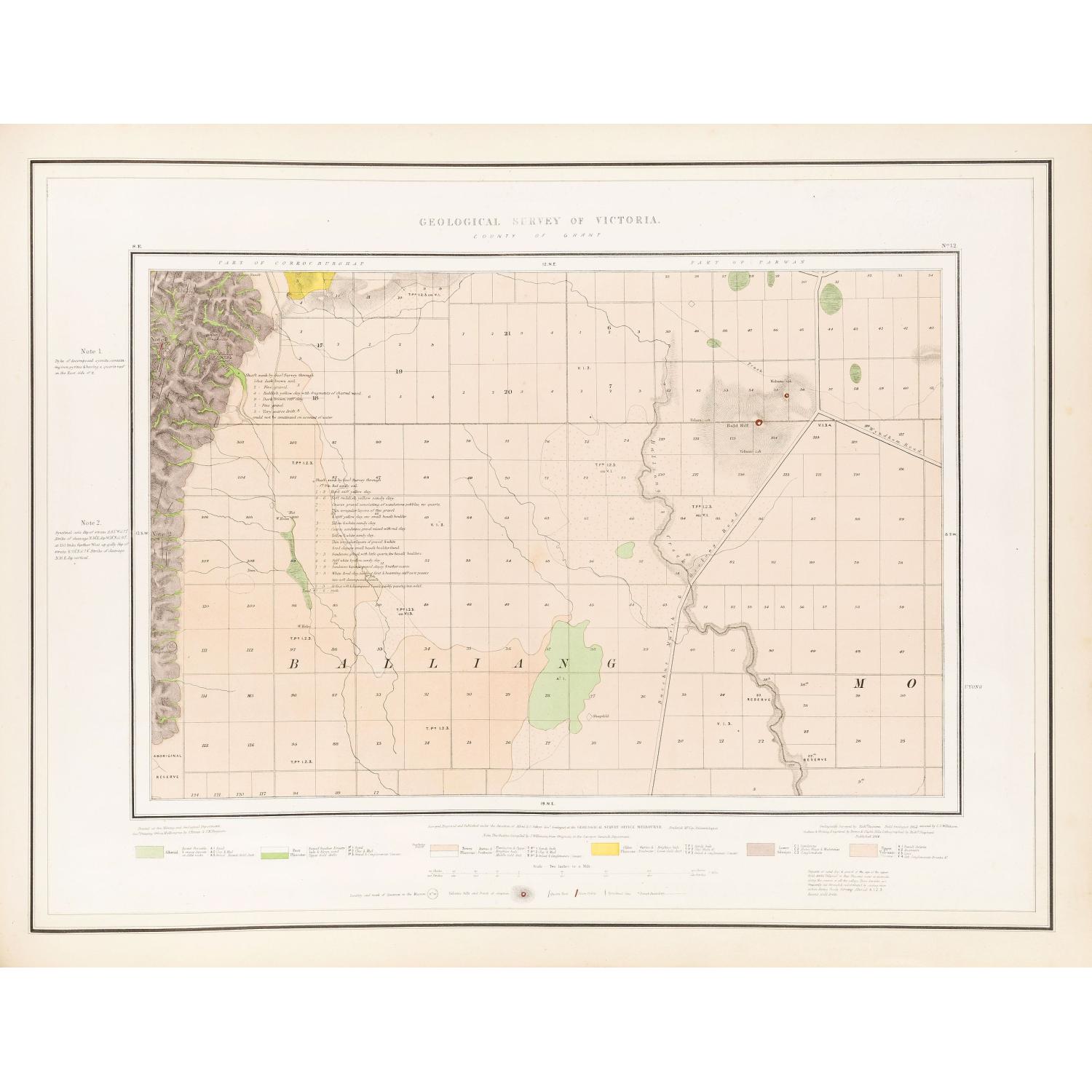
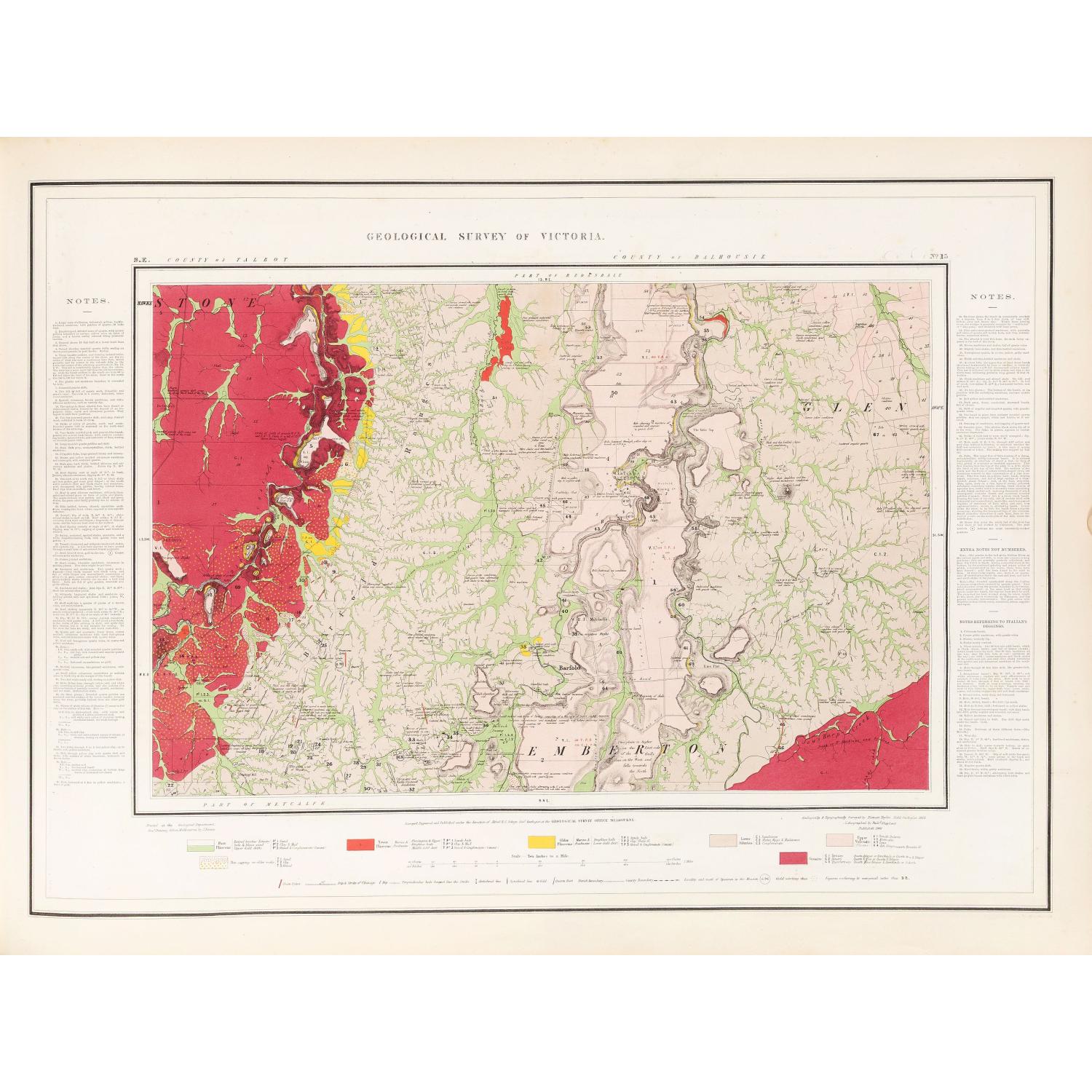
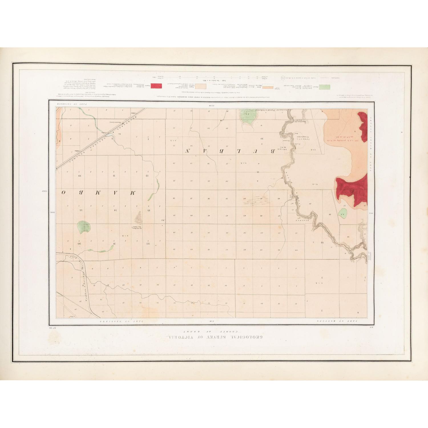
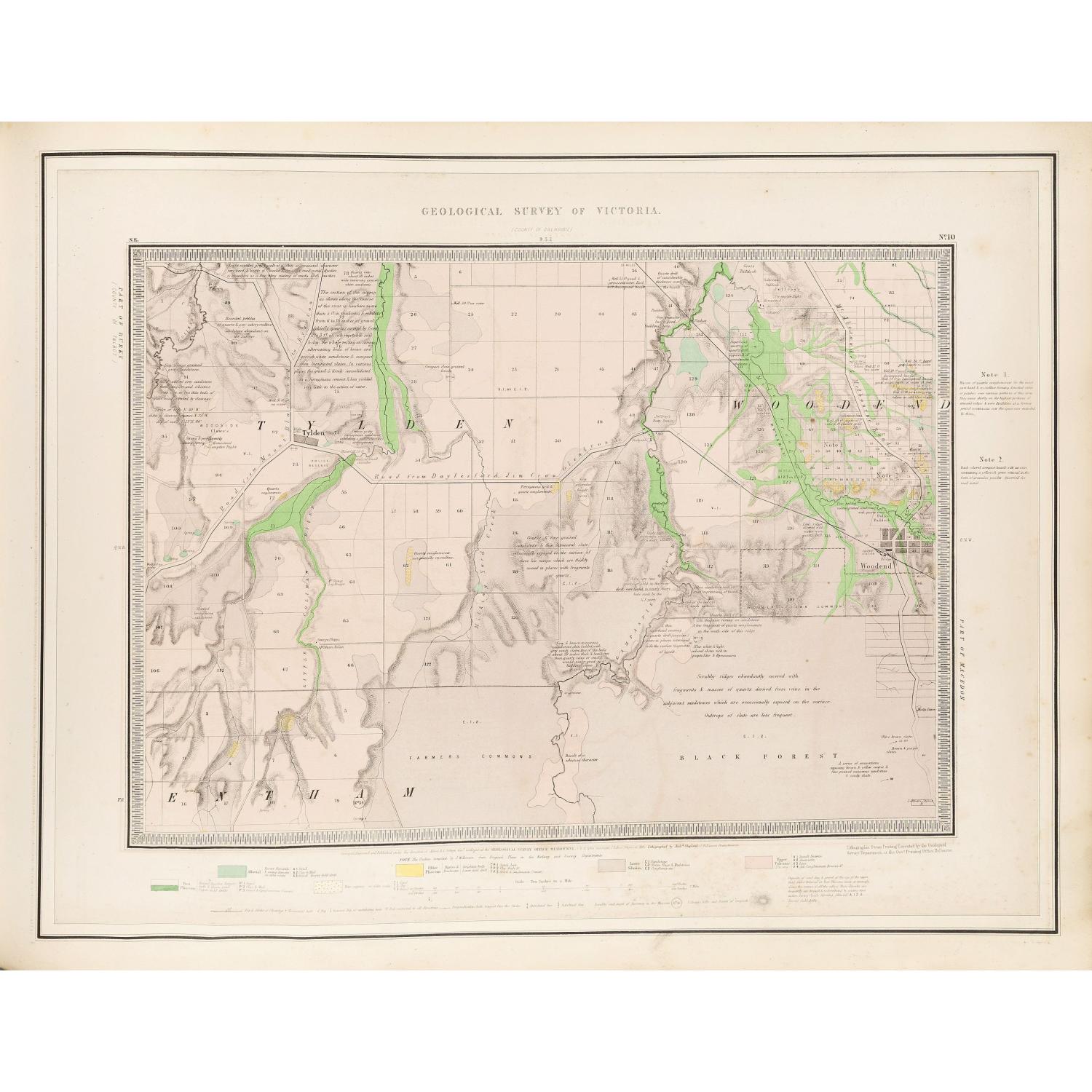
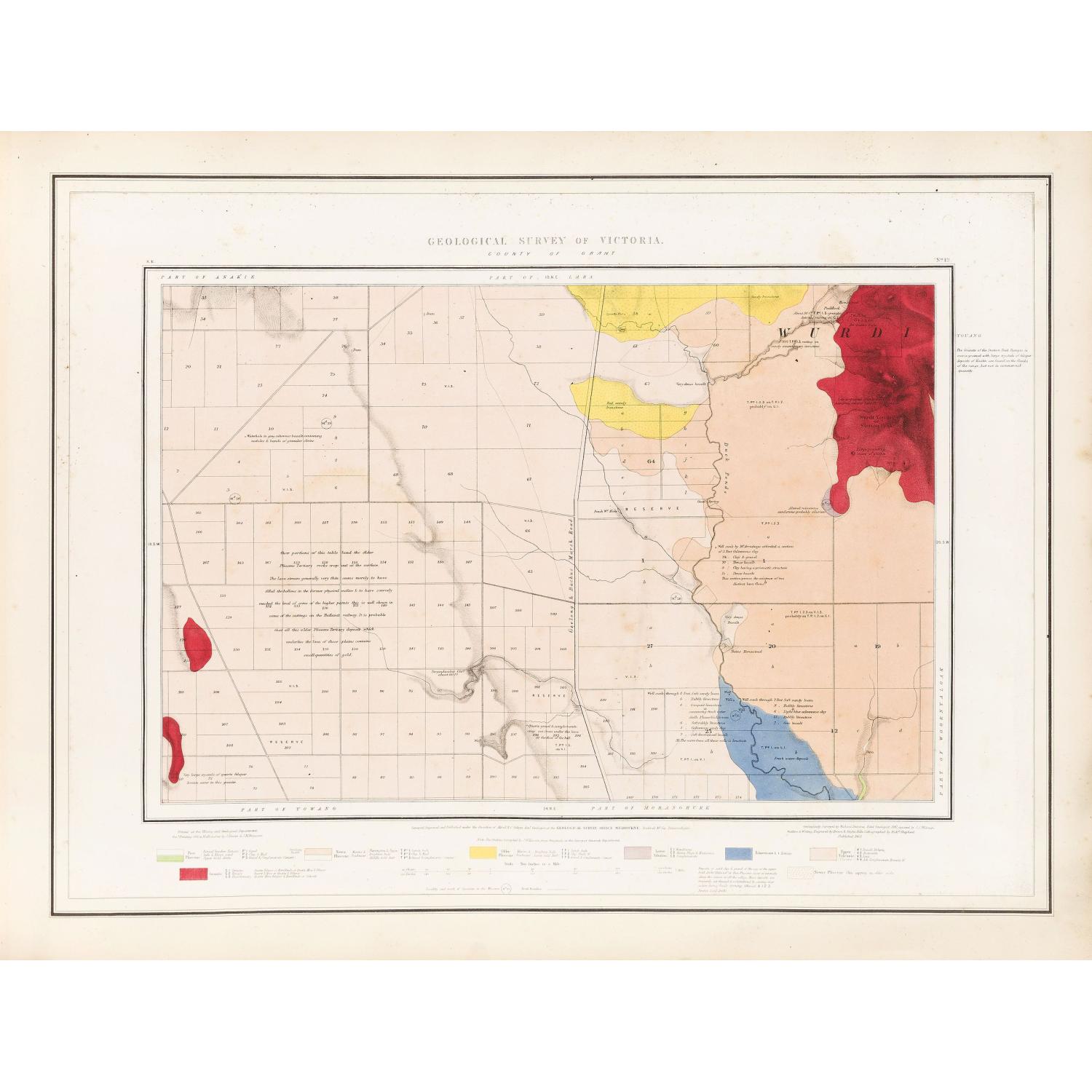
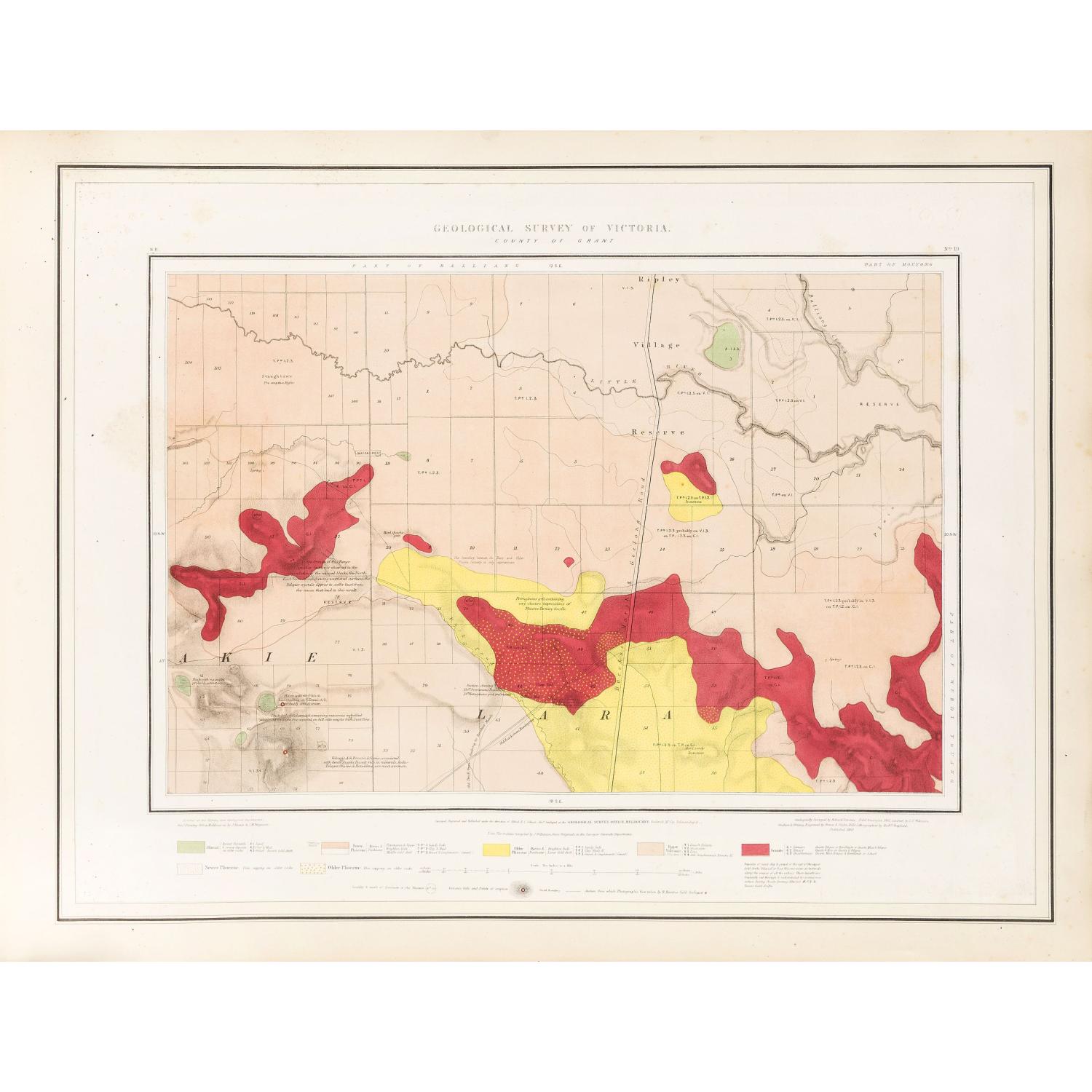
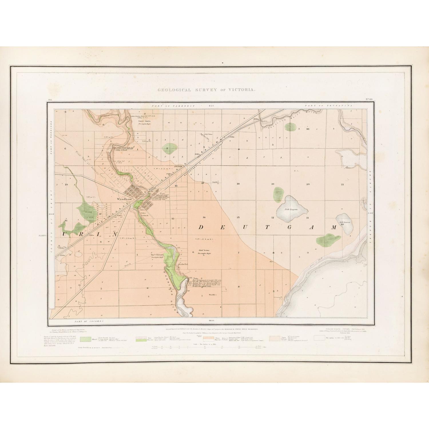
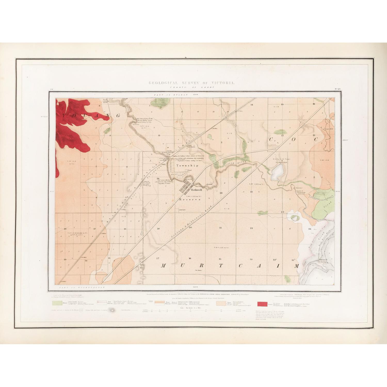
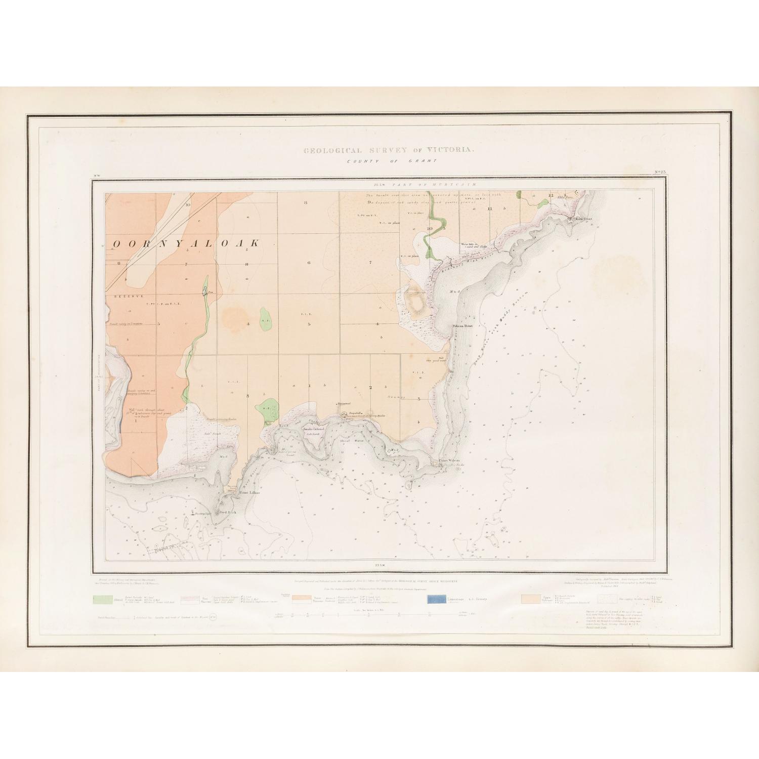
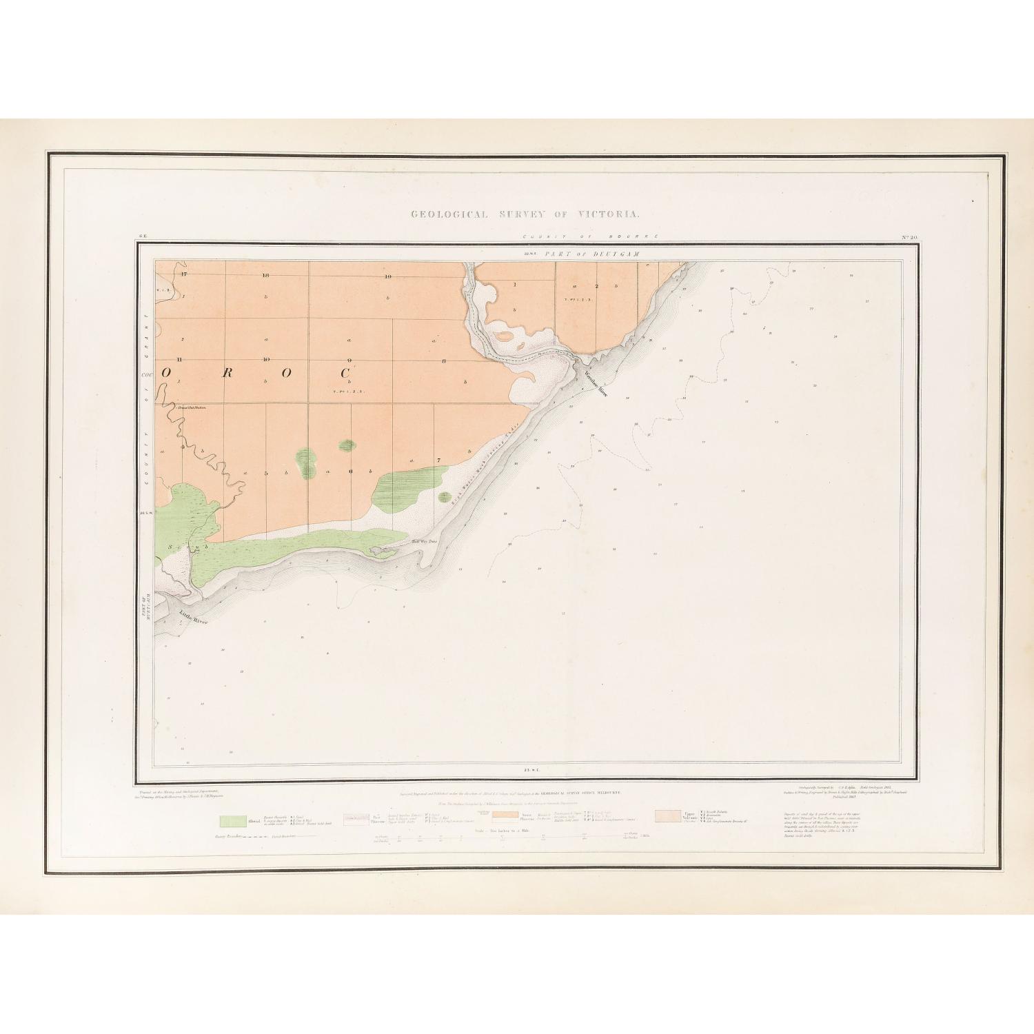
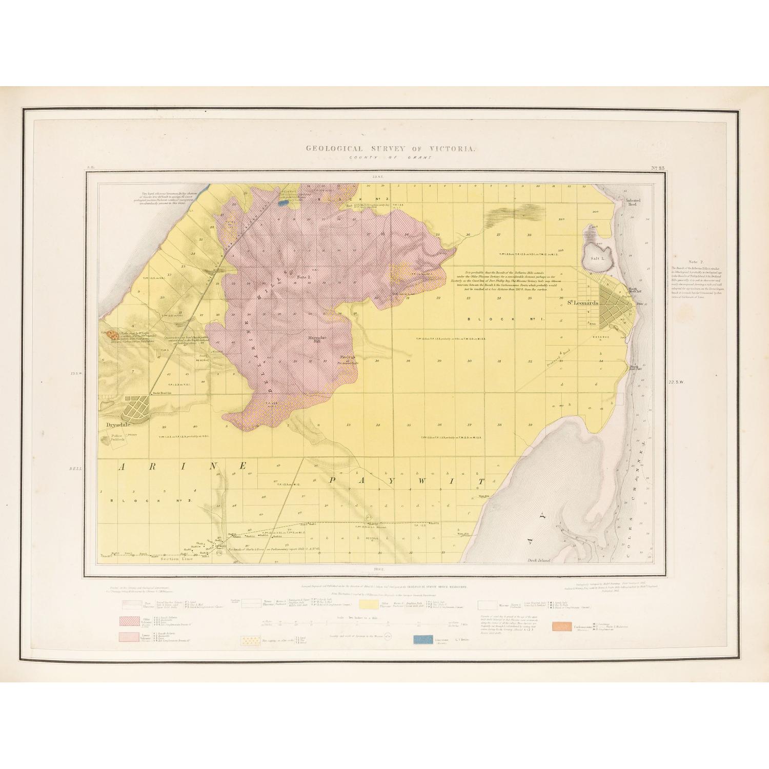
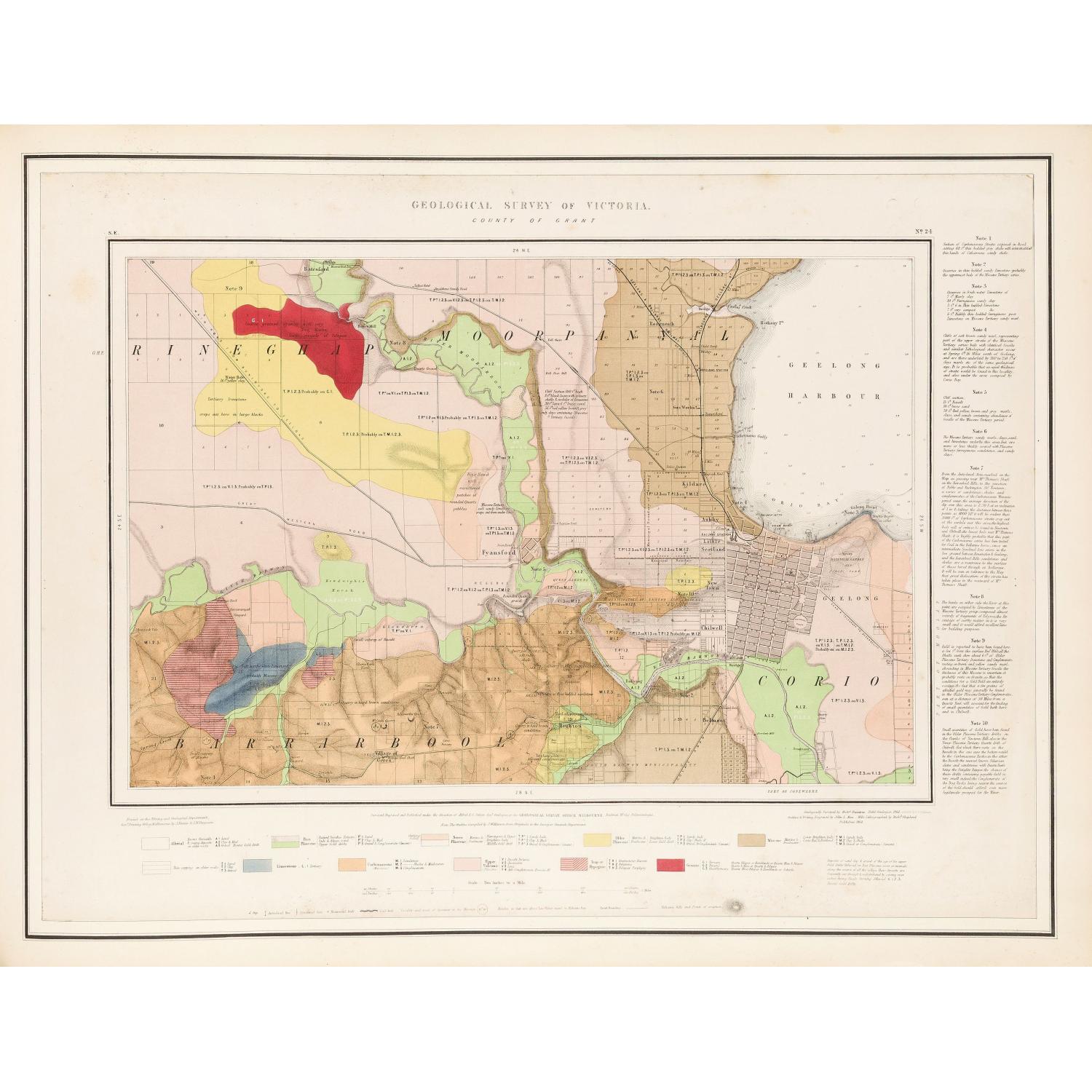
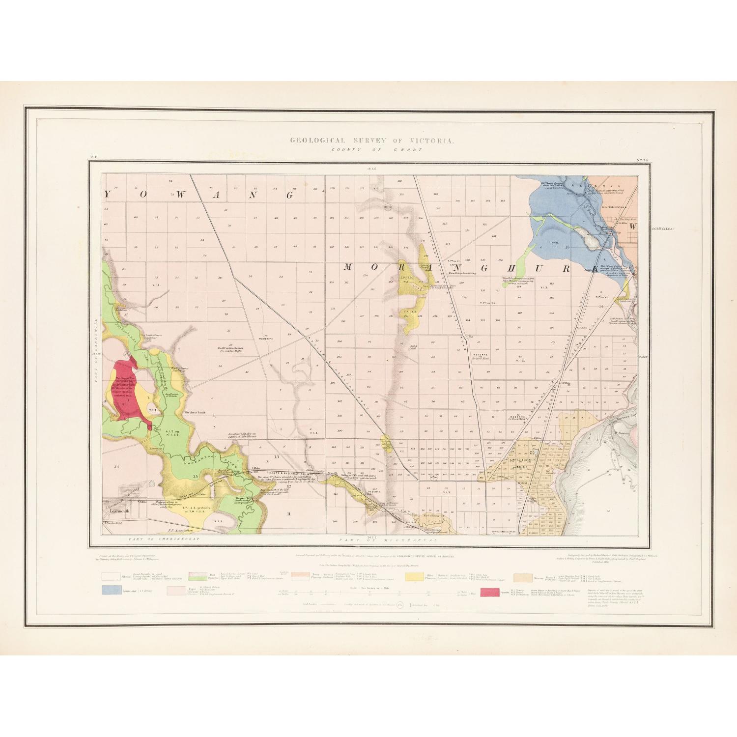
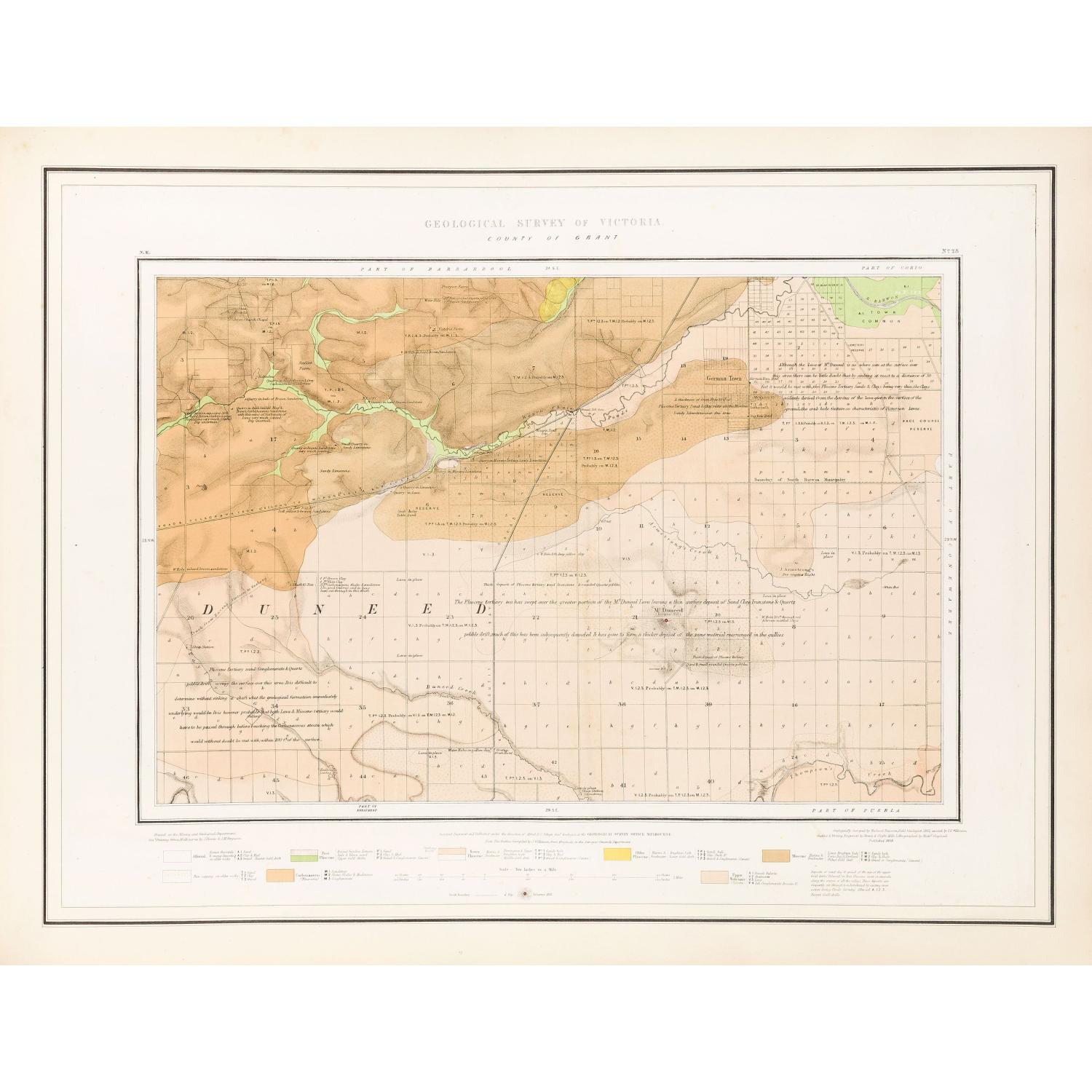
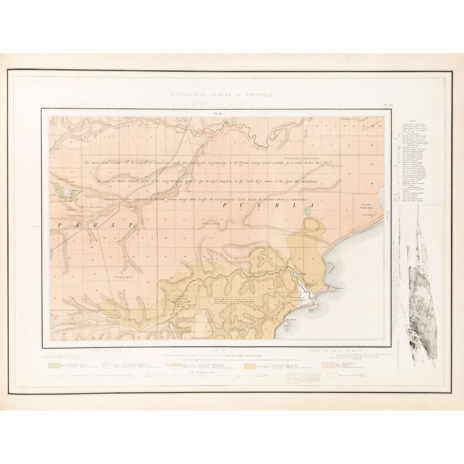
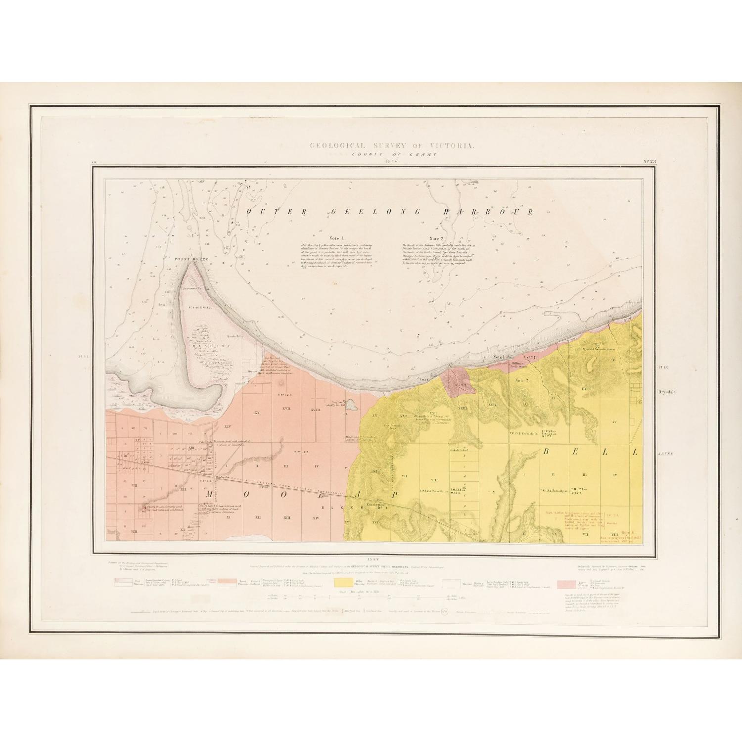
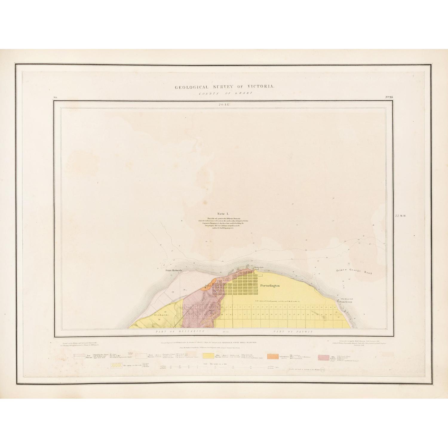
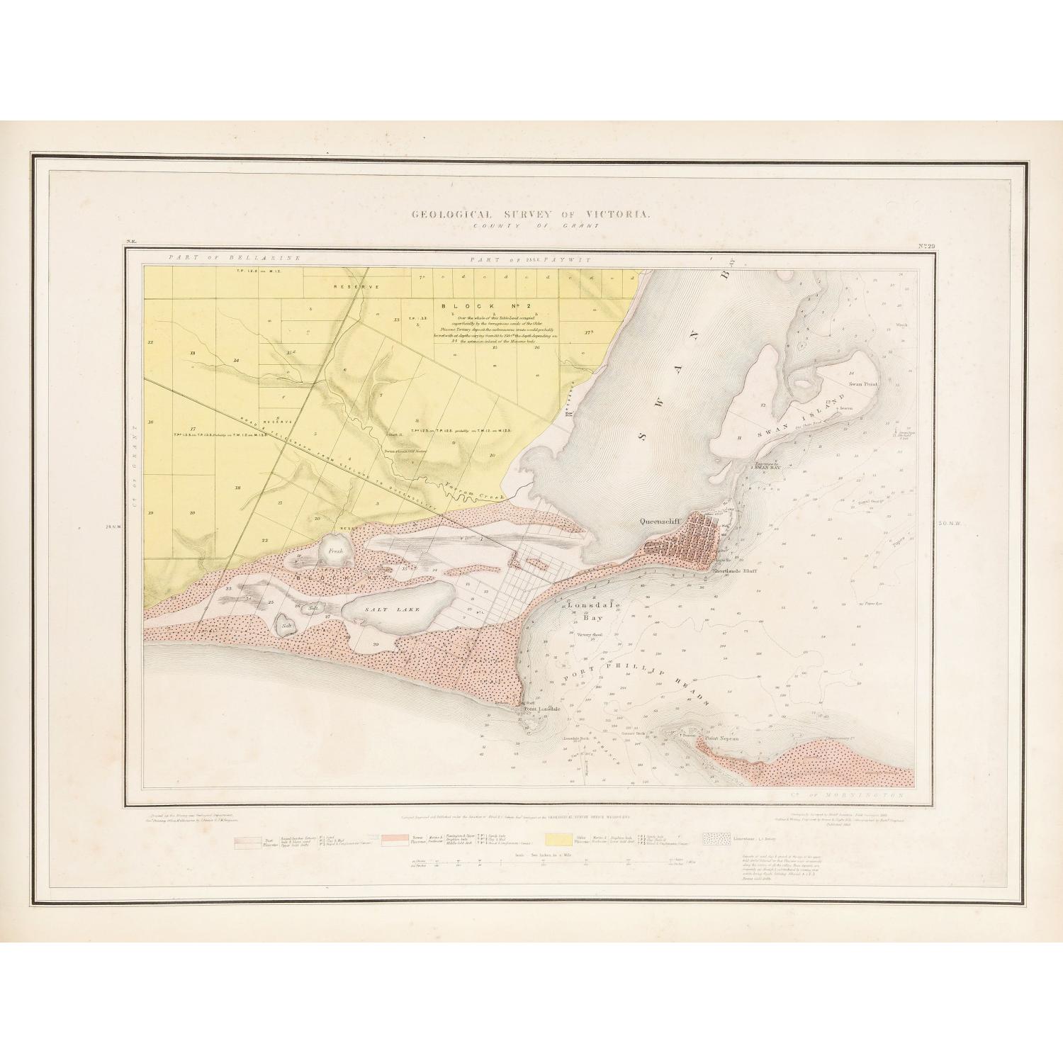
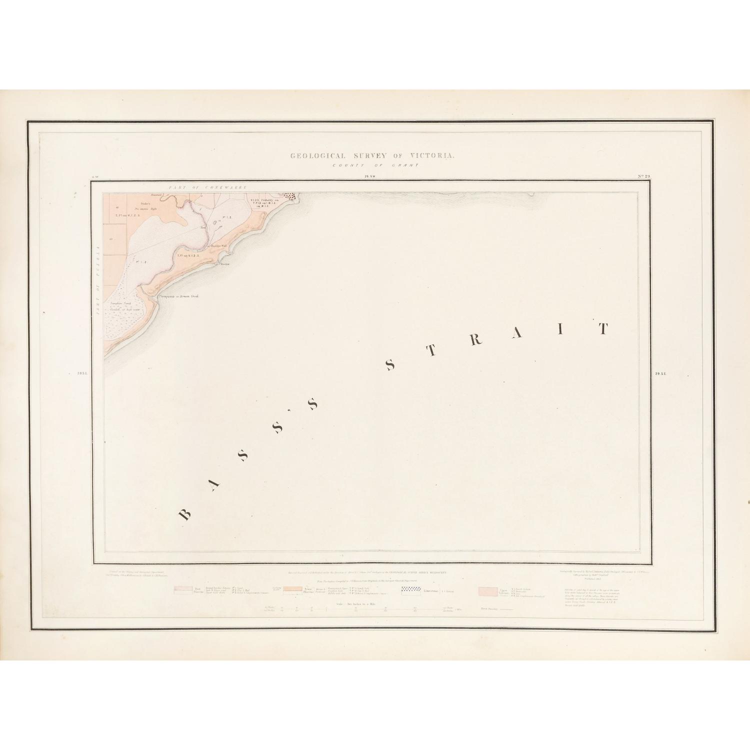
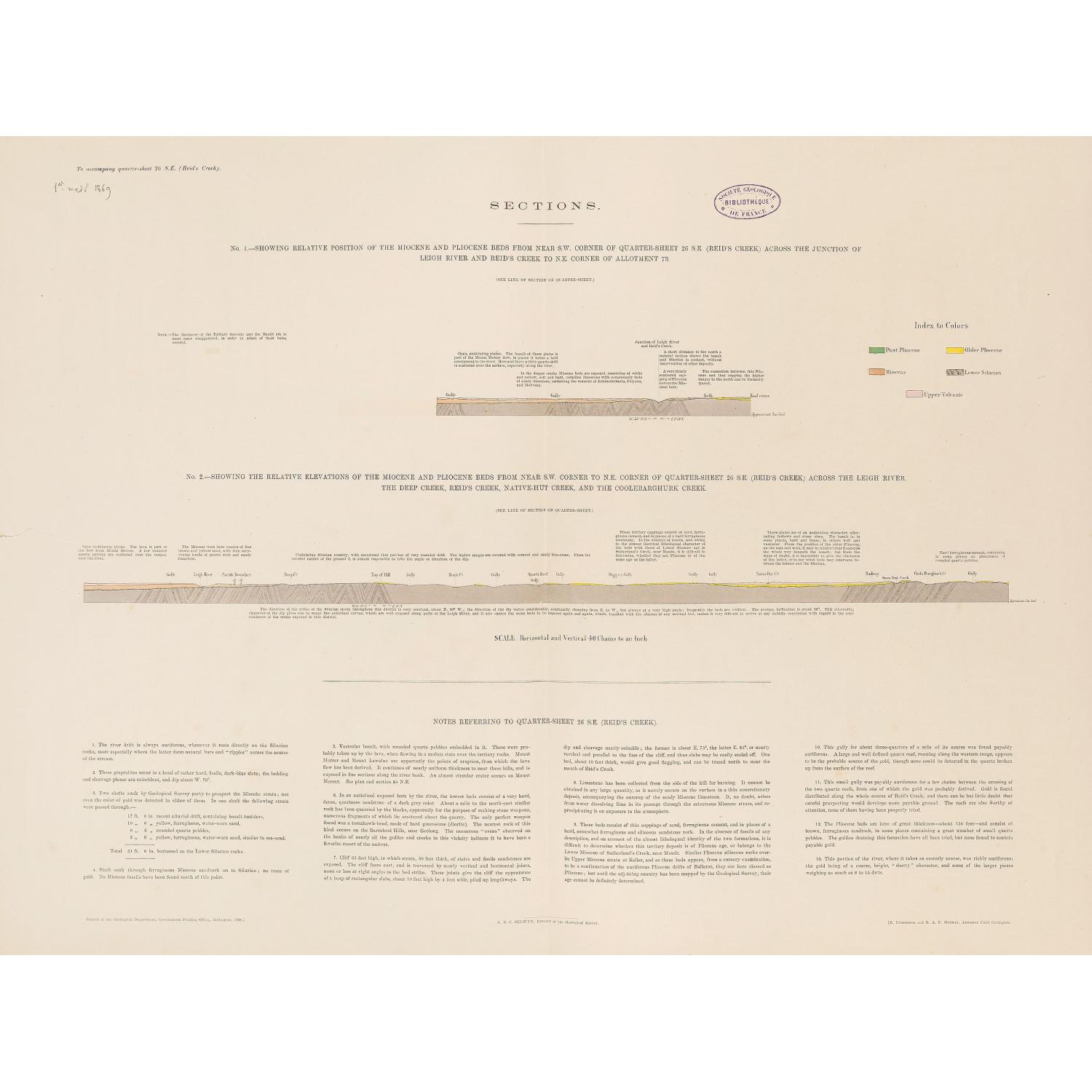
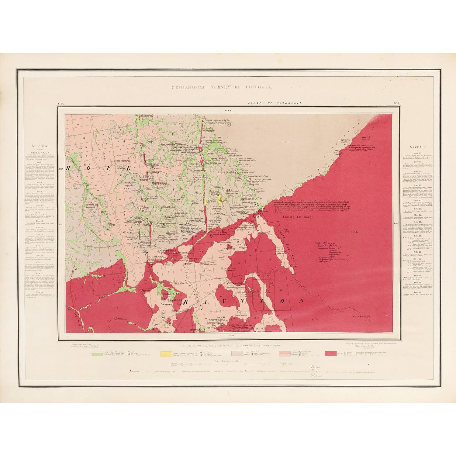
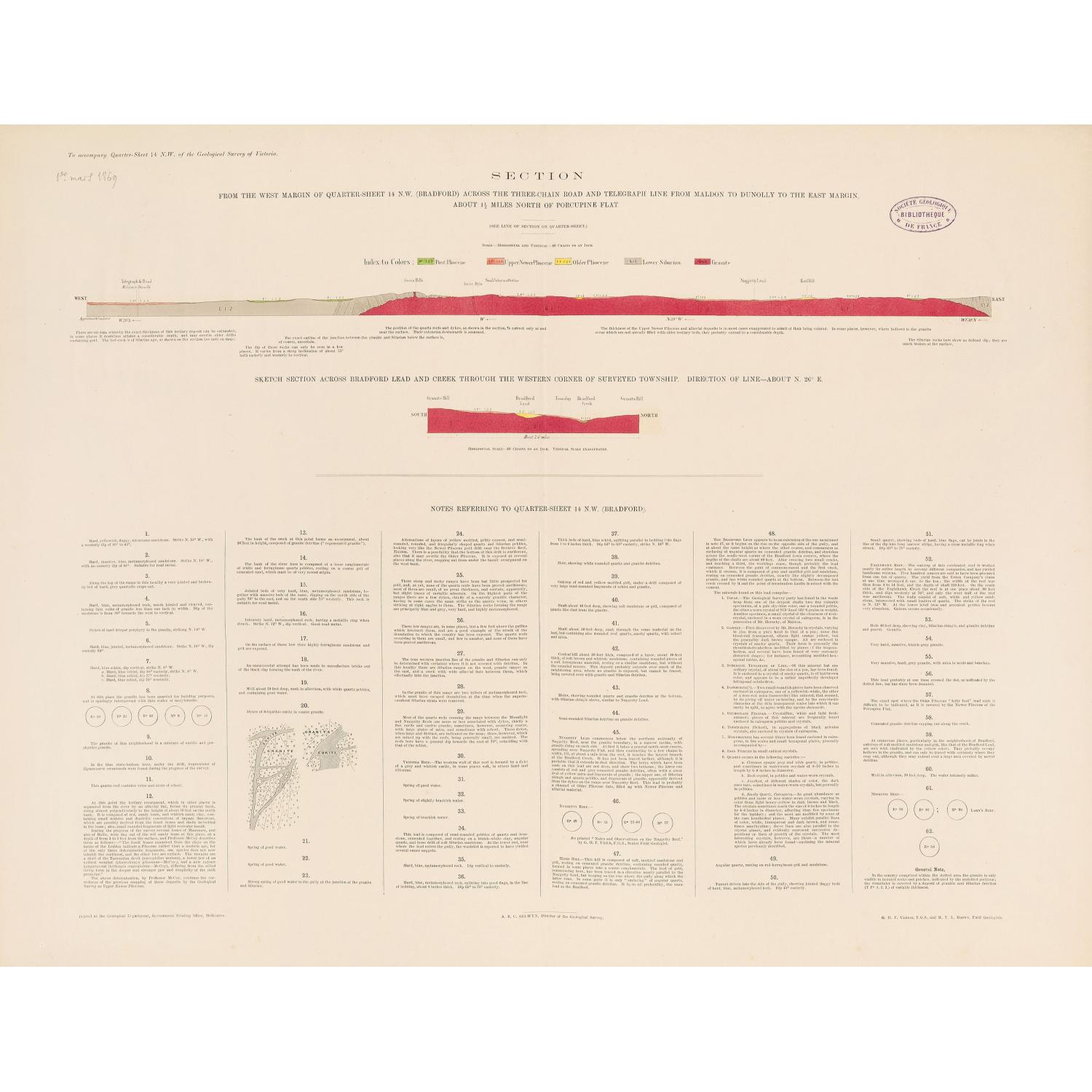
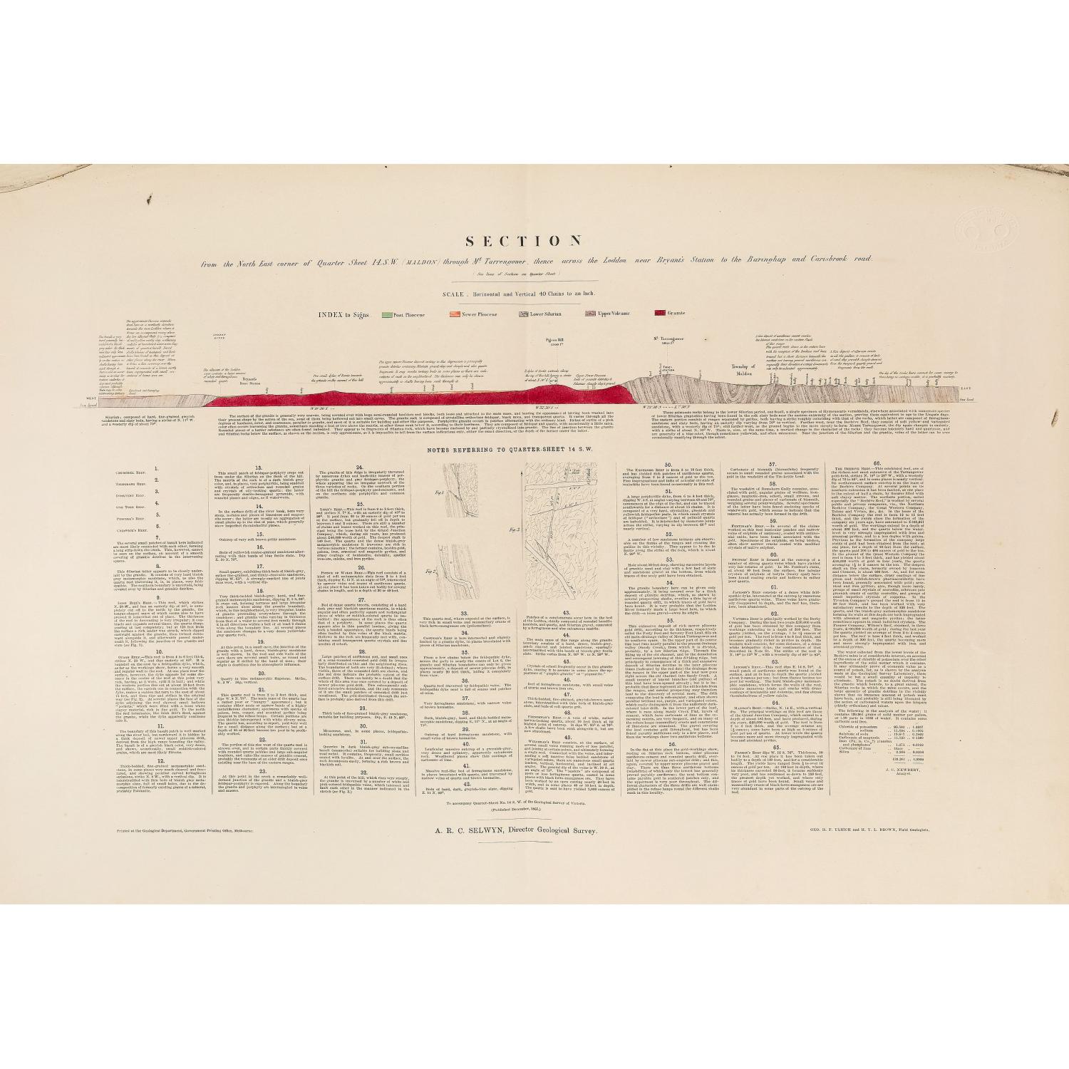
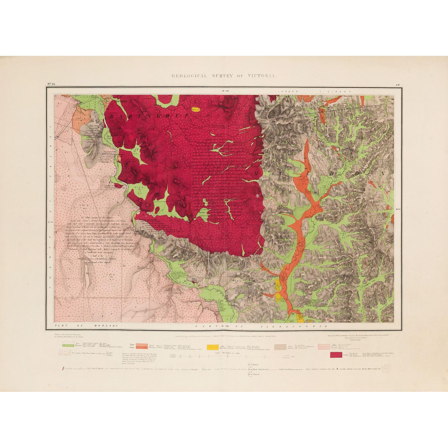
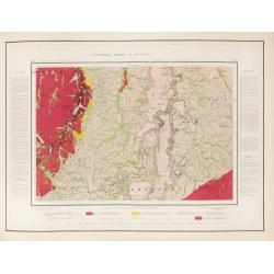
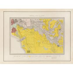
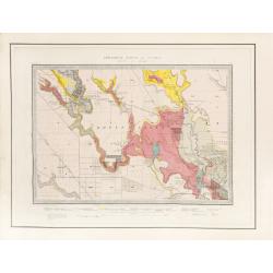
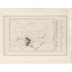
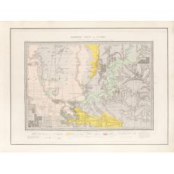
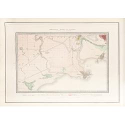
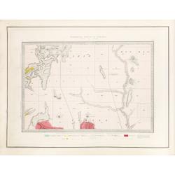
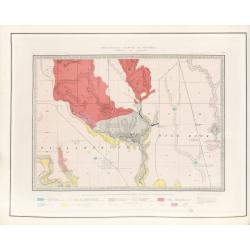
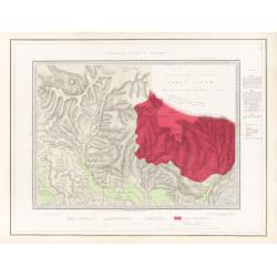
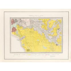
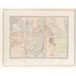
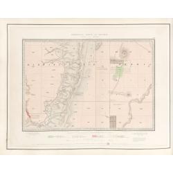
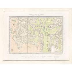
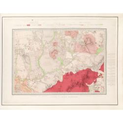
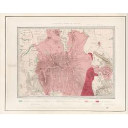
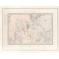
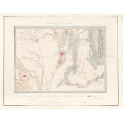
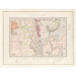
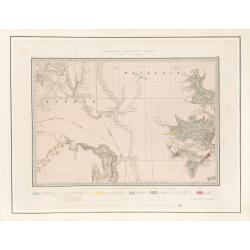
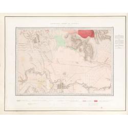
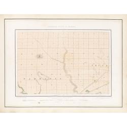
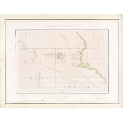
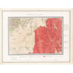
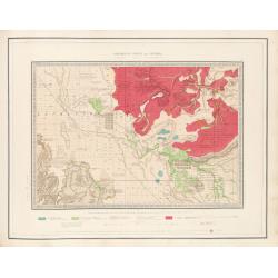
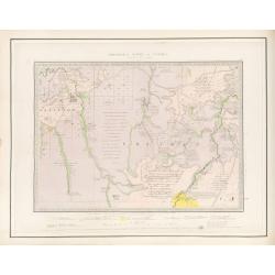
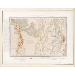
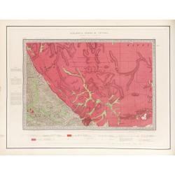
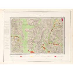
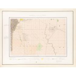
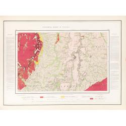
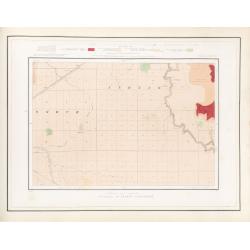
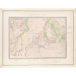
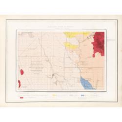
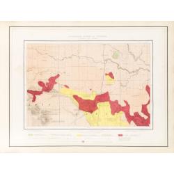
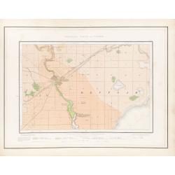
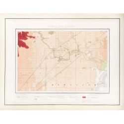
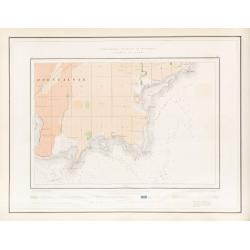
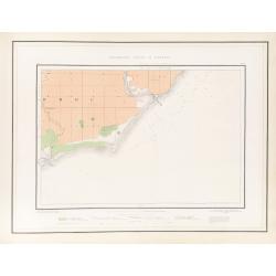
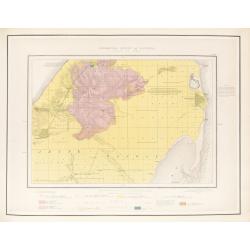
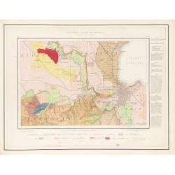
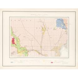
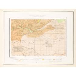
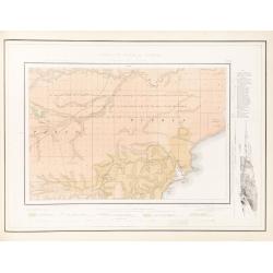
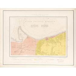
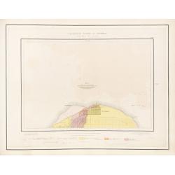
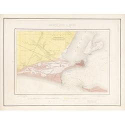
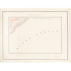
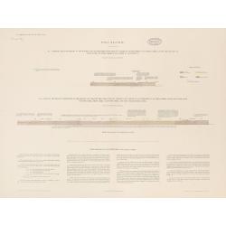
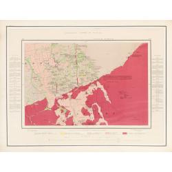
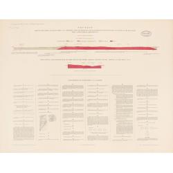
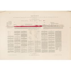
Geological Survey of Victoria.
| Maker: | GSV / SELWYN, A. R. C. | |
| Date: | Mining and Geological Department, Melbourne, ca. 1864 | |
| Colored: | Printed colors. | |
| Size: | 510 x 765 mm / 20.1 x 30.1 inches | |
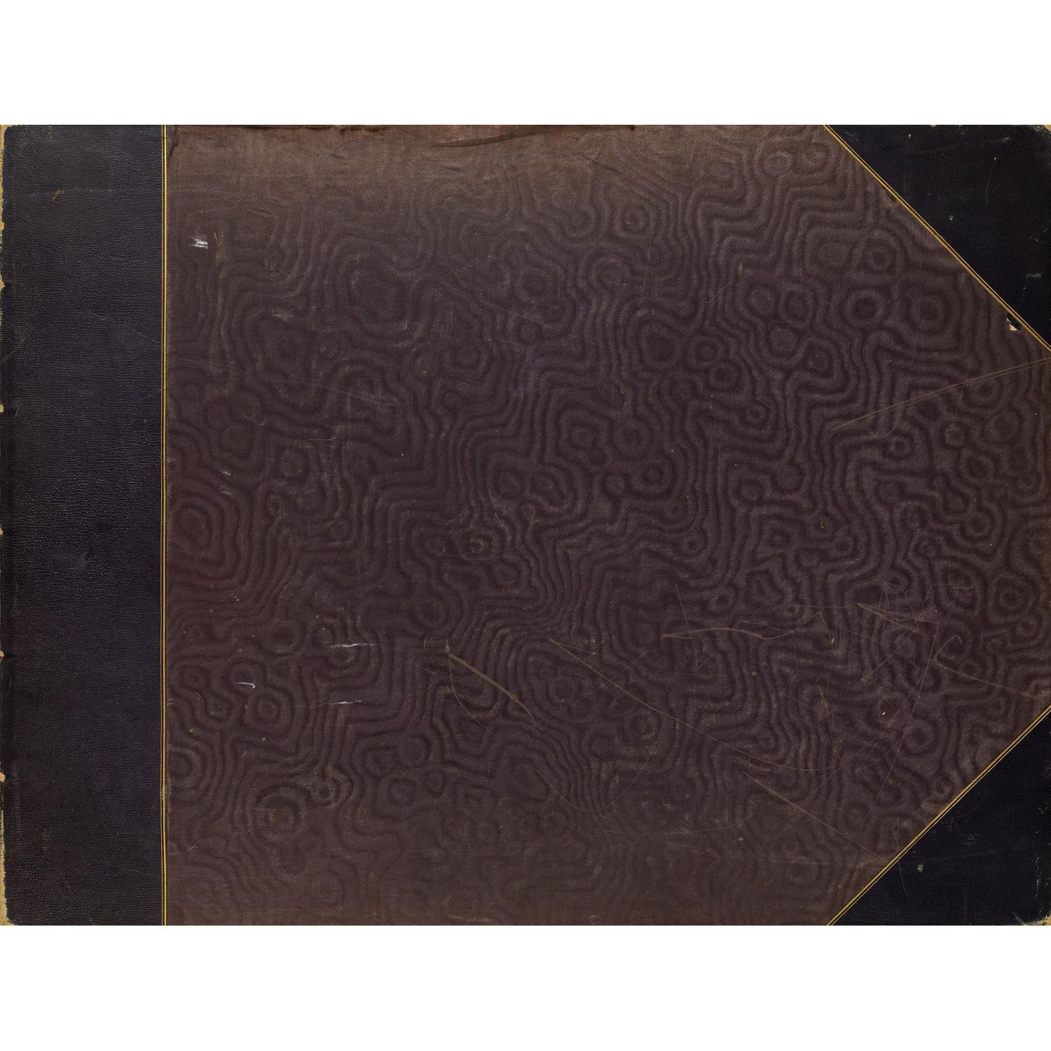
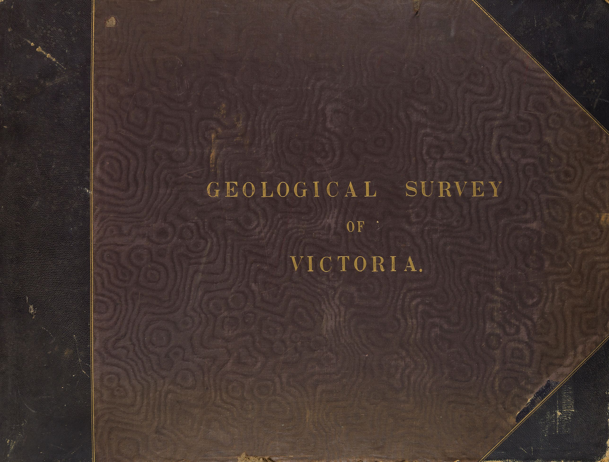
| Condition: | An oblong atlas featuring 54 color lithographic maps printed on a steam-powered mechanical lithographic press (Lithographic Steam Printing Executed by the Geological Survey Department, at the Government Printing Office, Melbourne) mounted on heavy paper, a large folding canvas-backed map in color (114 x 170 cm), and 8 loose maps (46 x 71 cm) inserted in a pocket attached to the inside front cover. Green half-shagreen with corners. | |
1This item is available for immediate sale
$9500 / ≈ €8484





Description
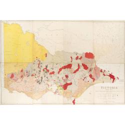
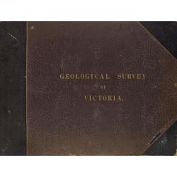
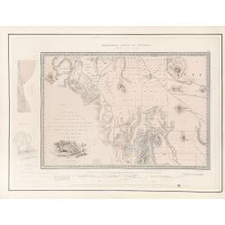
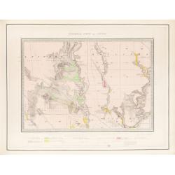
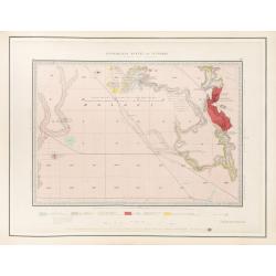
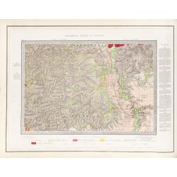
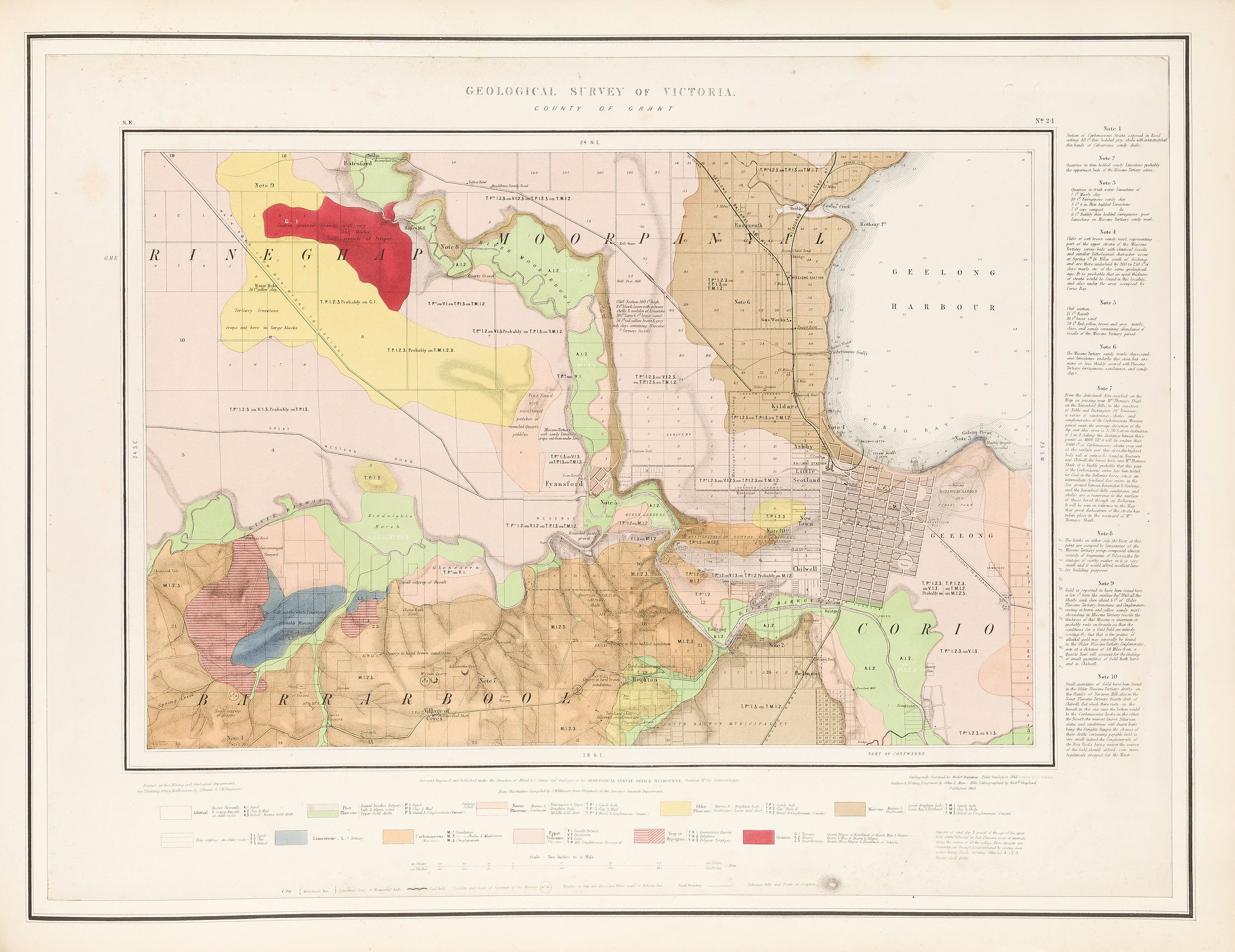
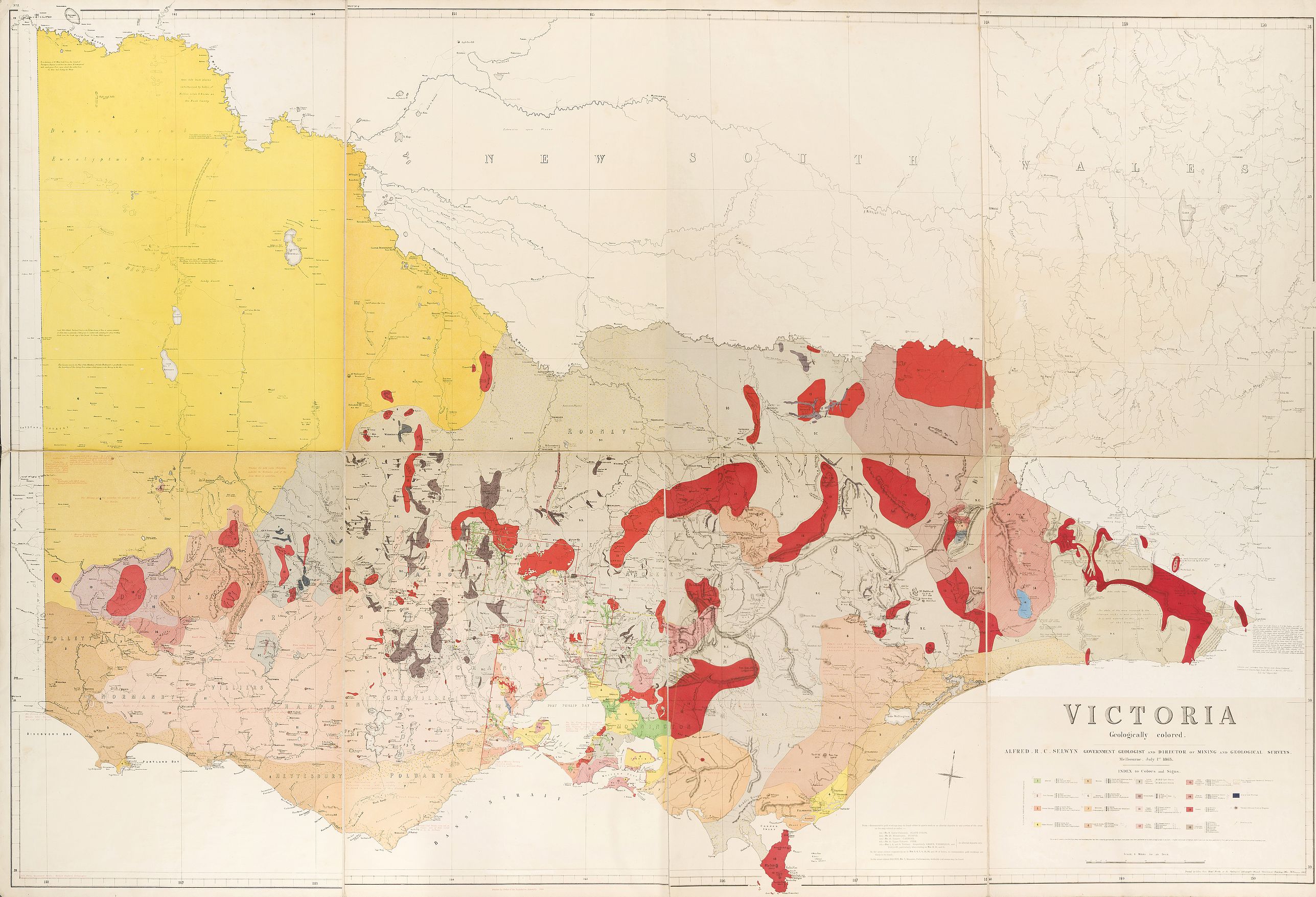
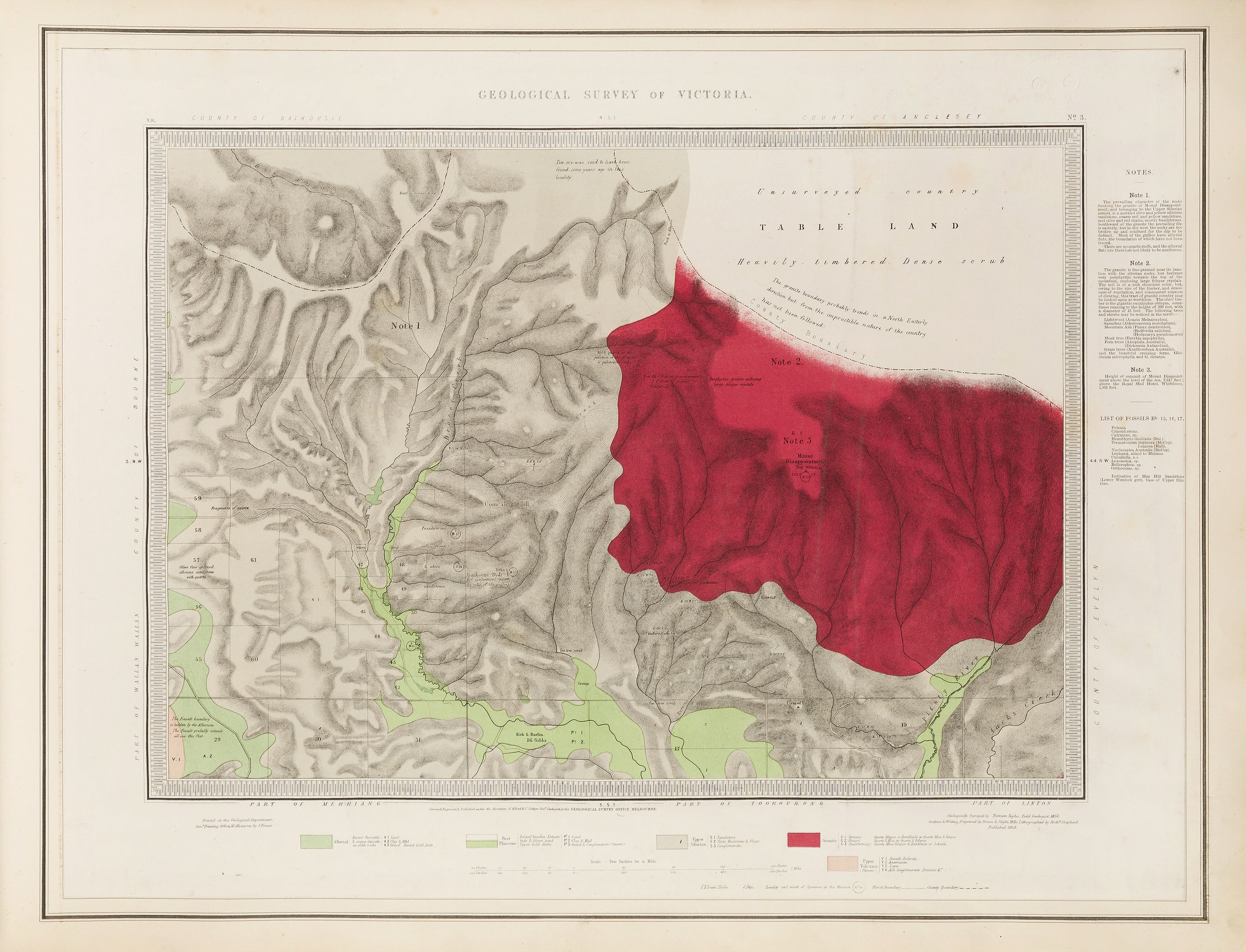
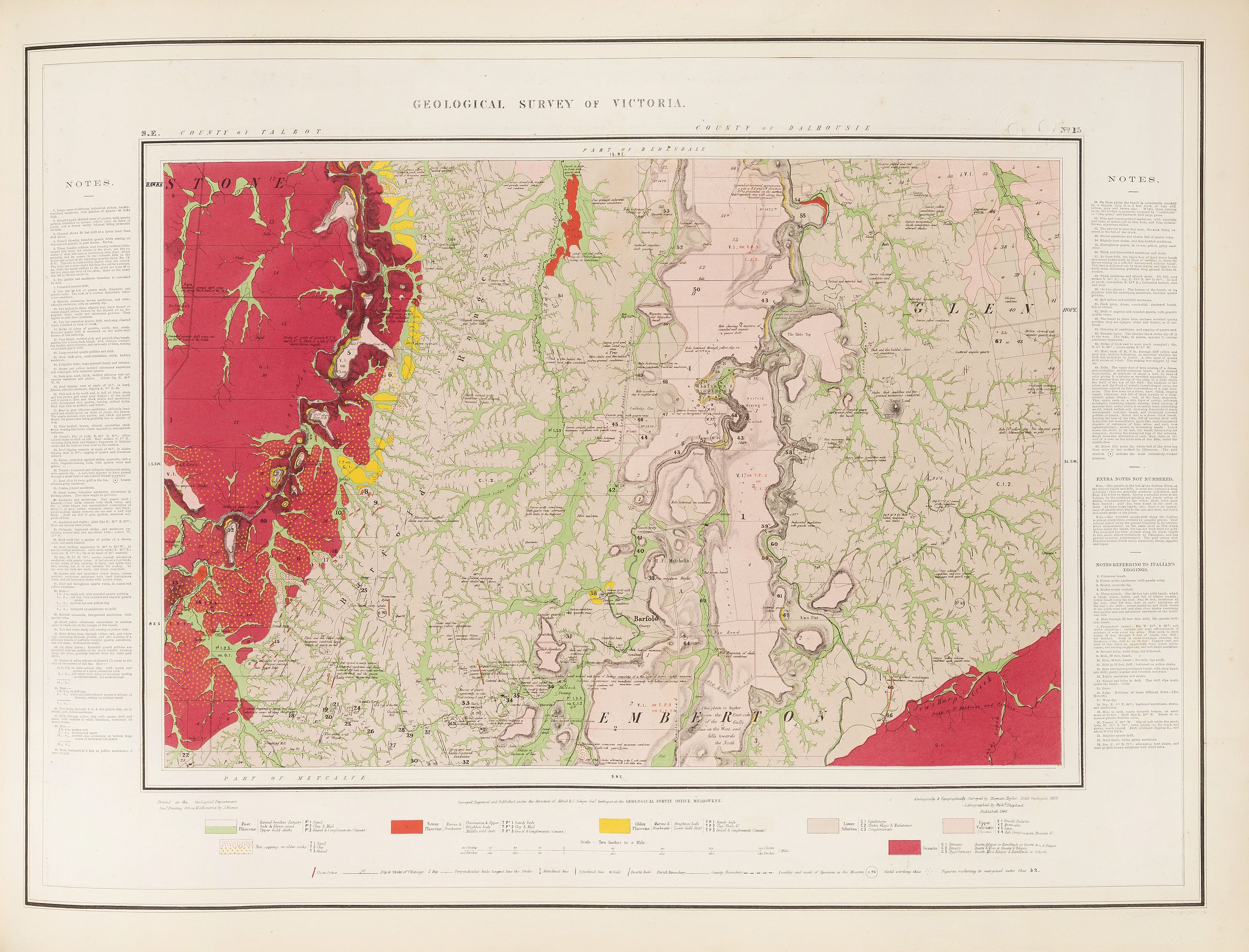
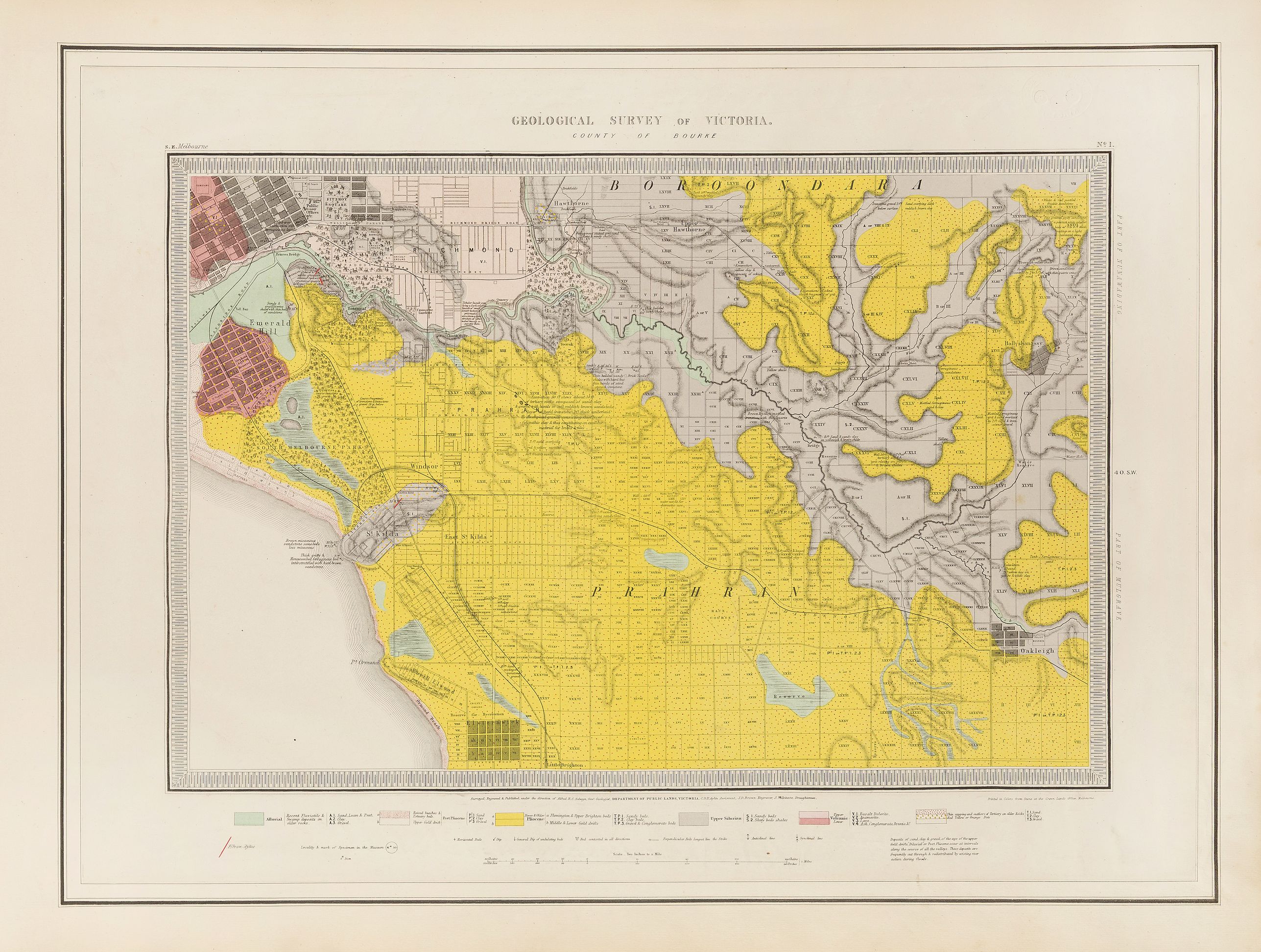
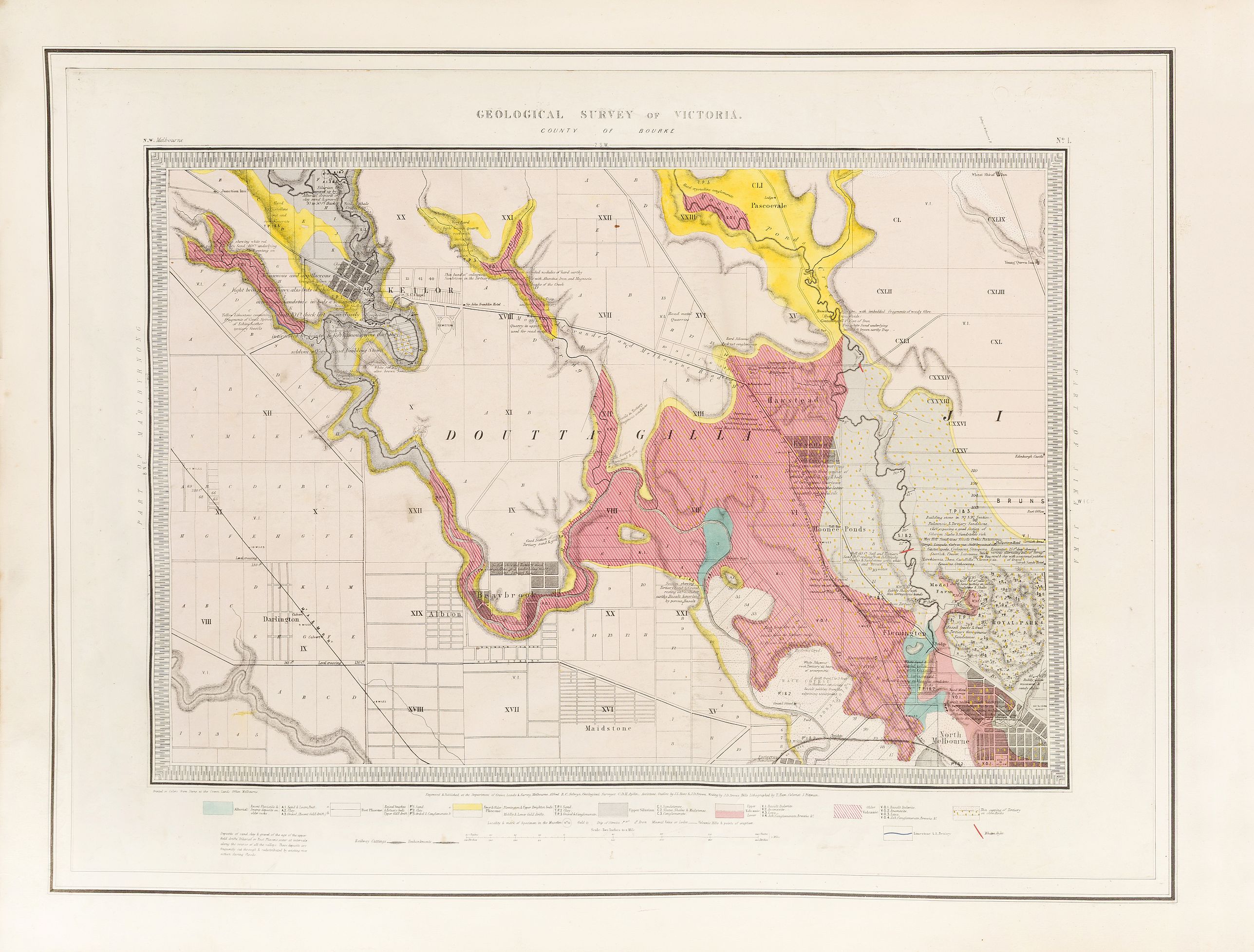
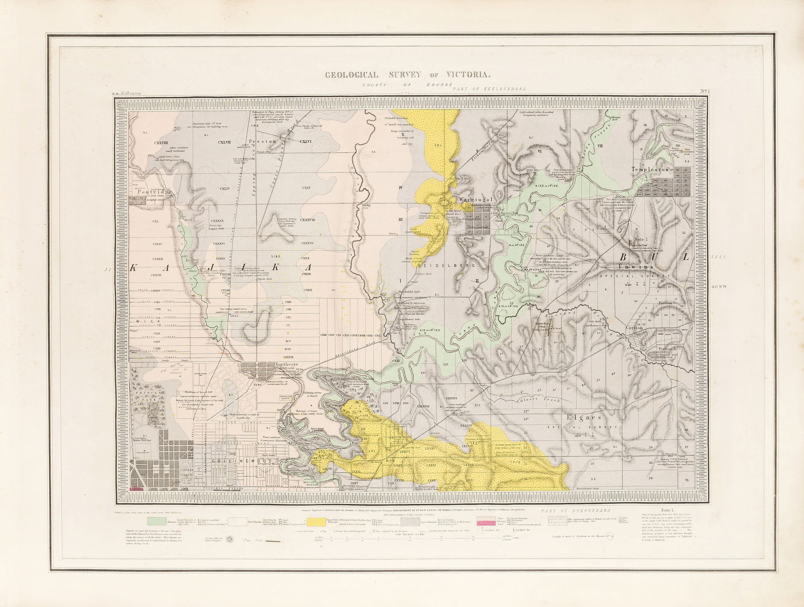
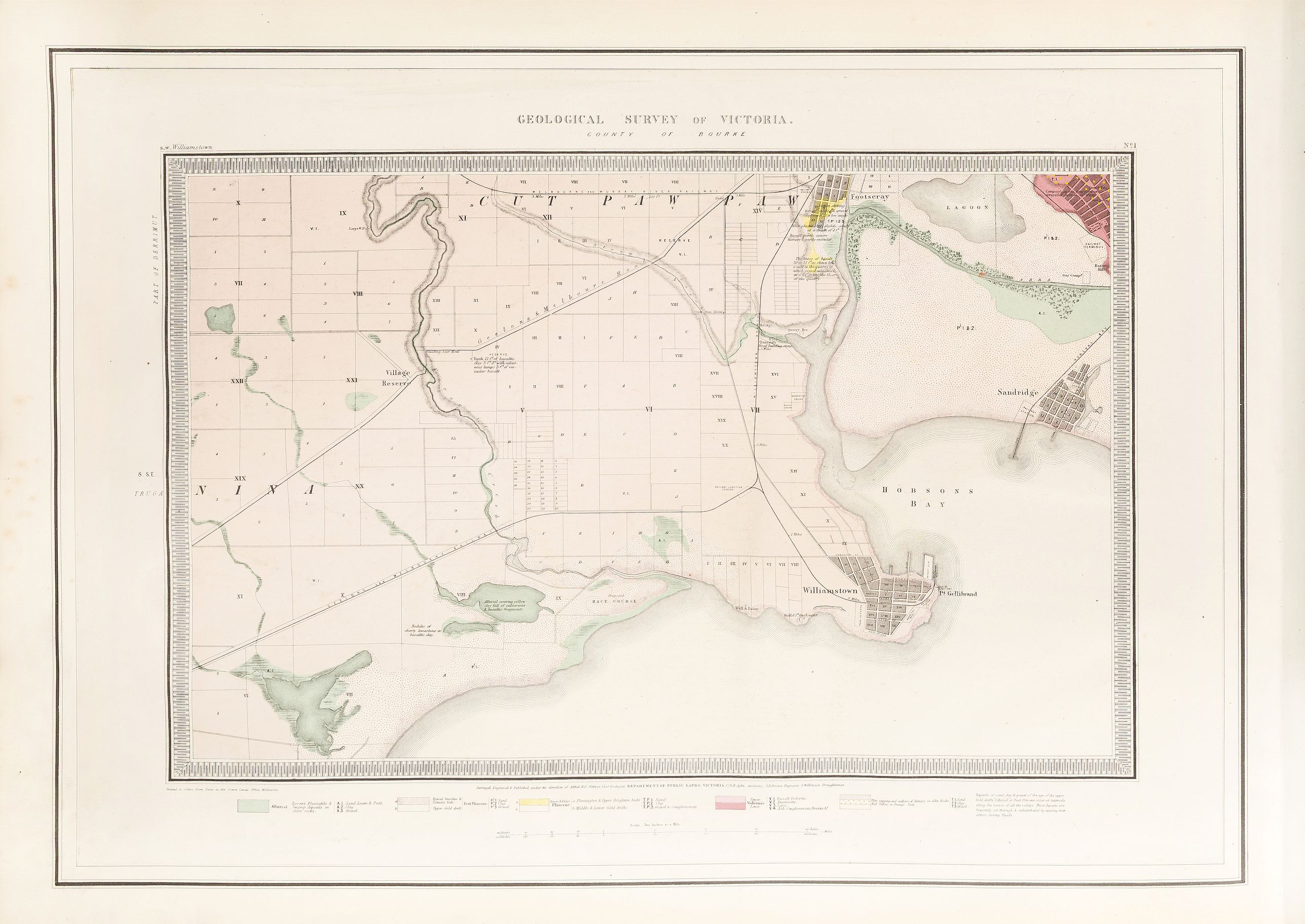
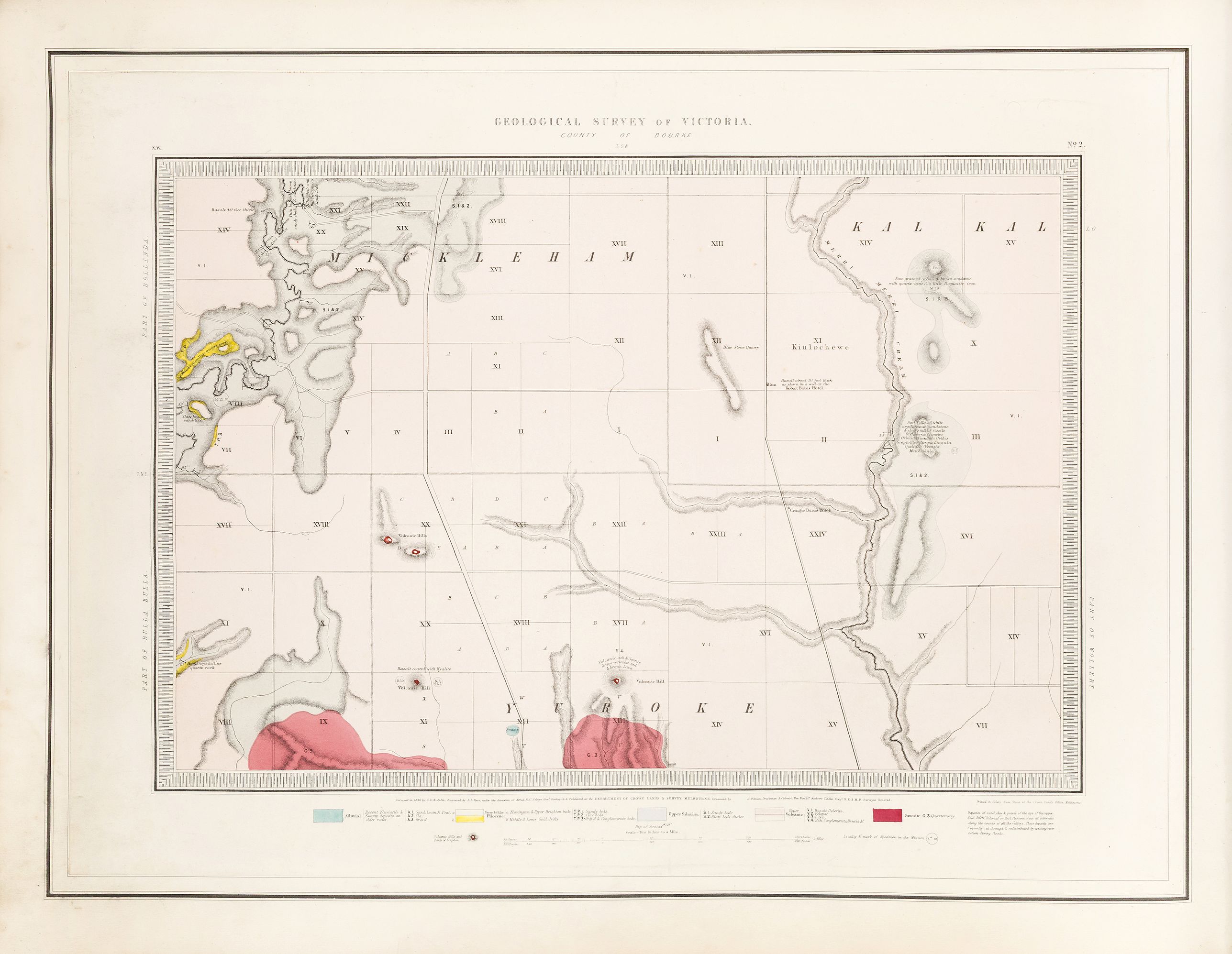
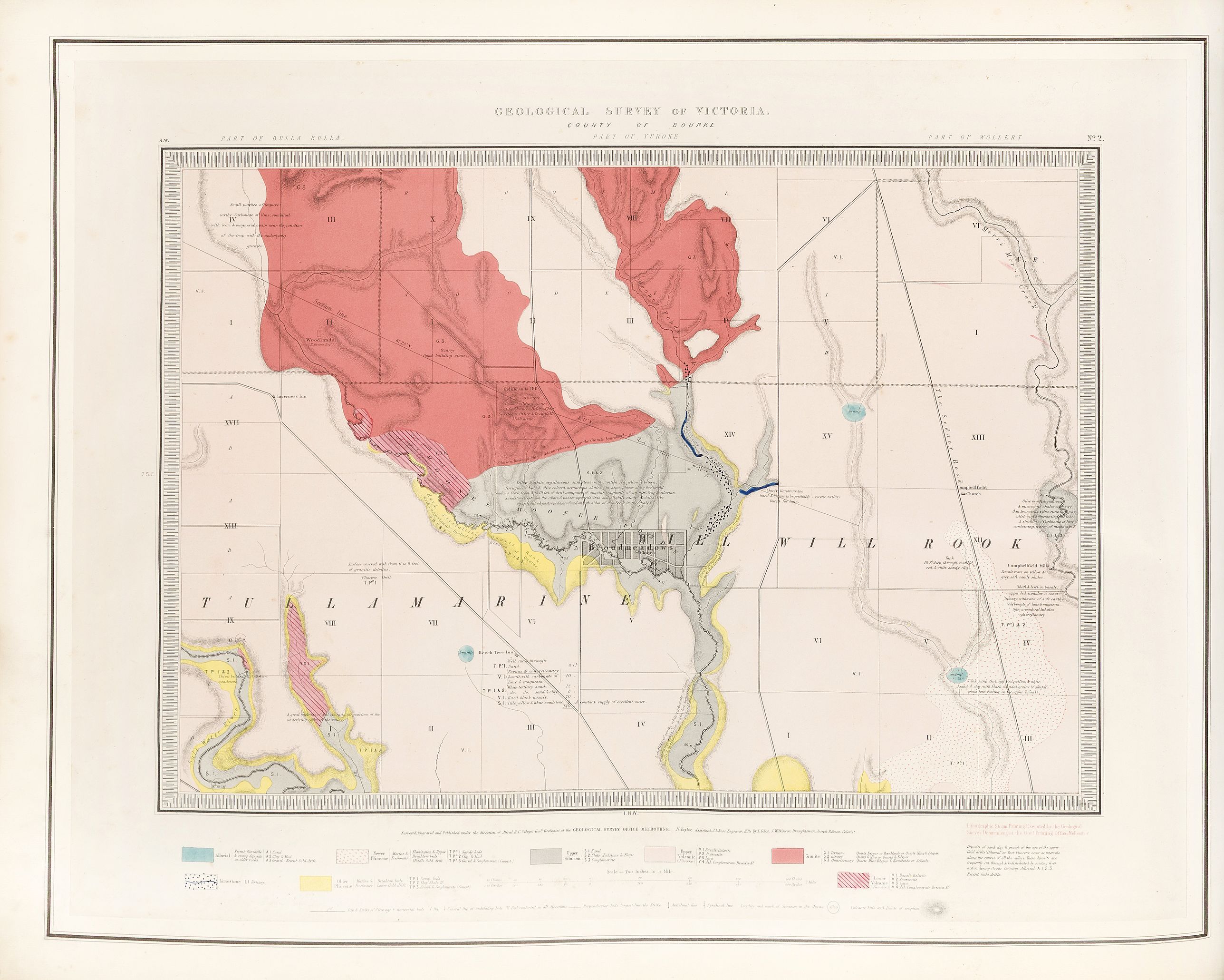
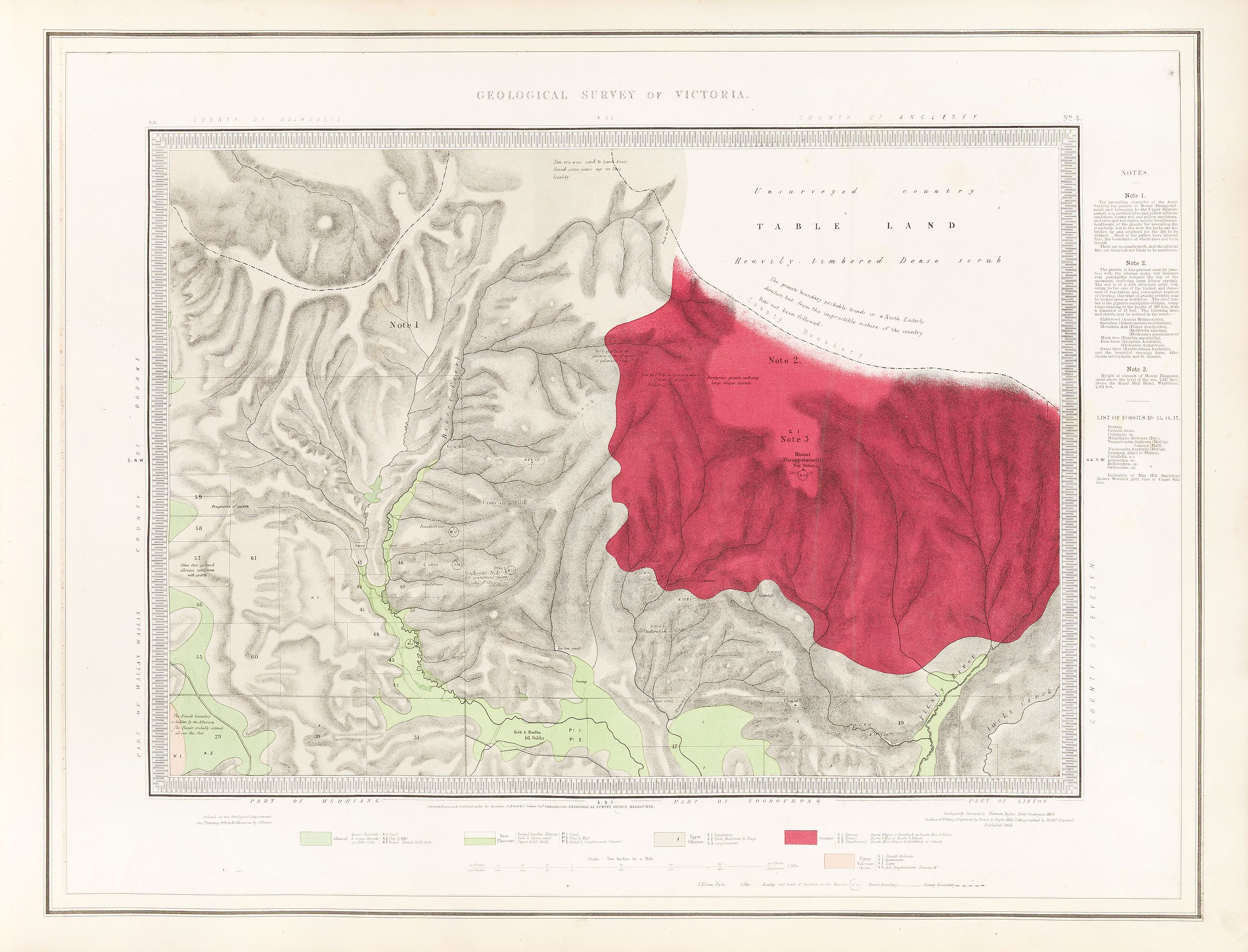
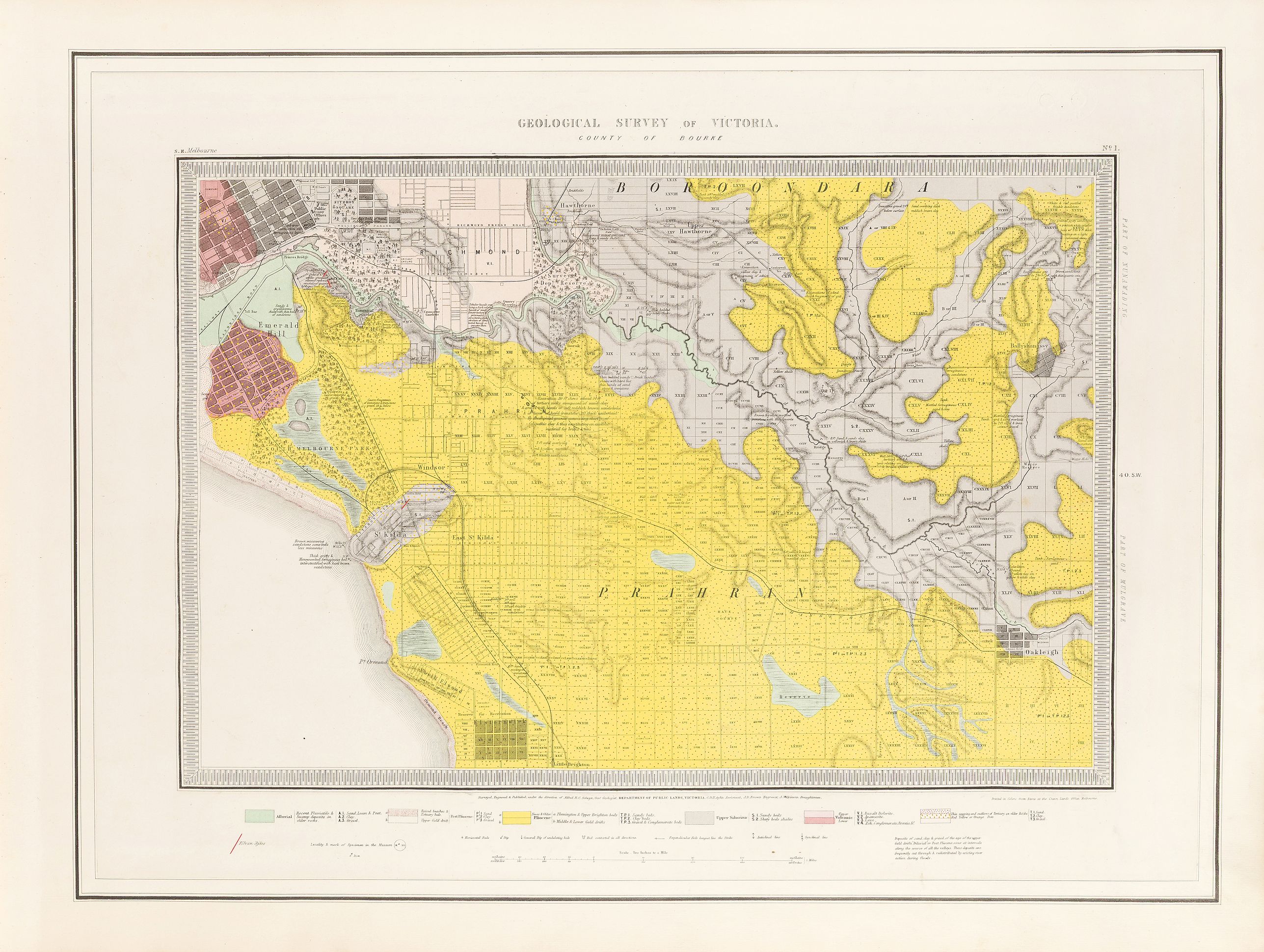
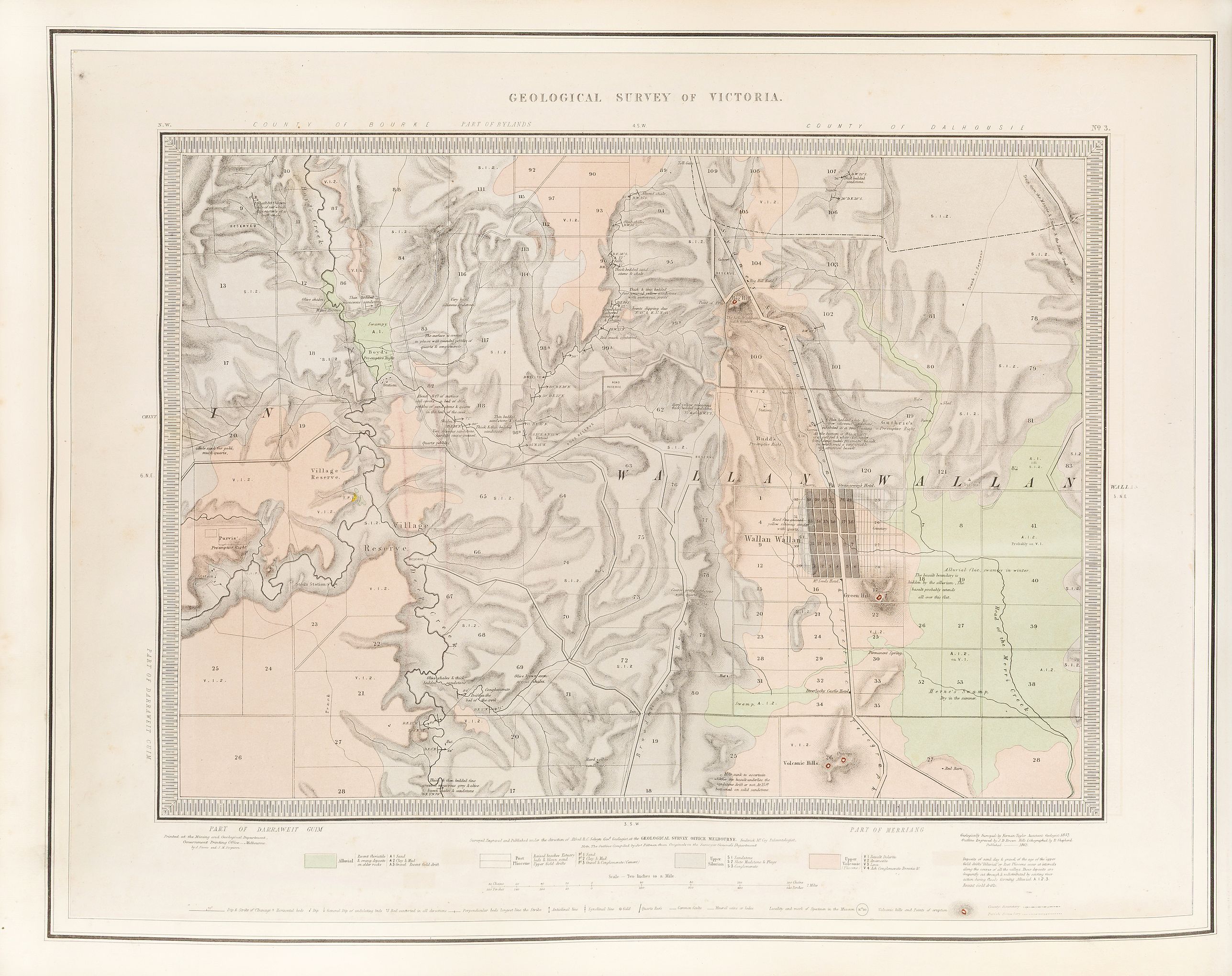
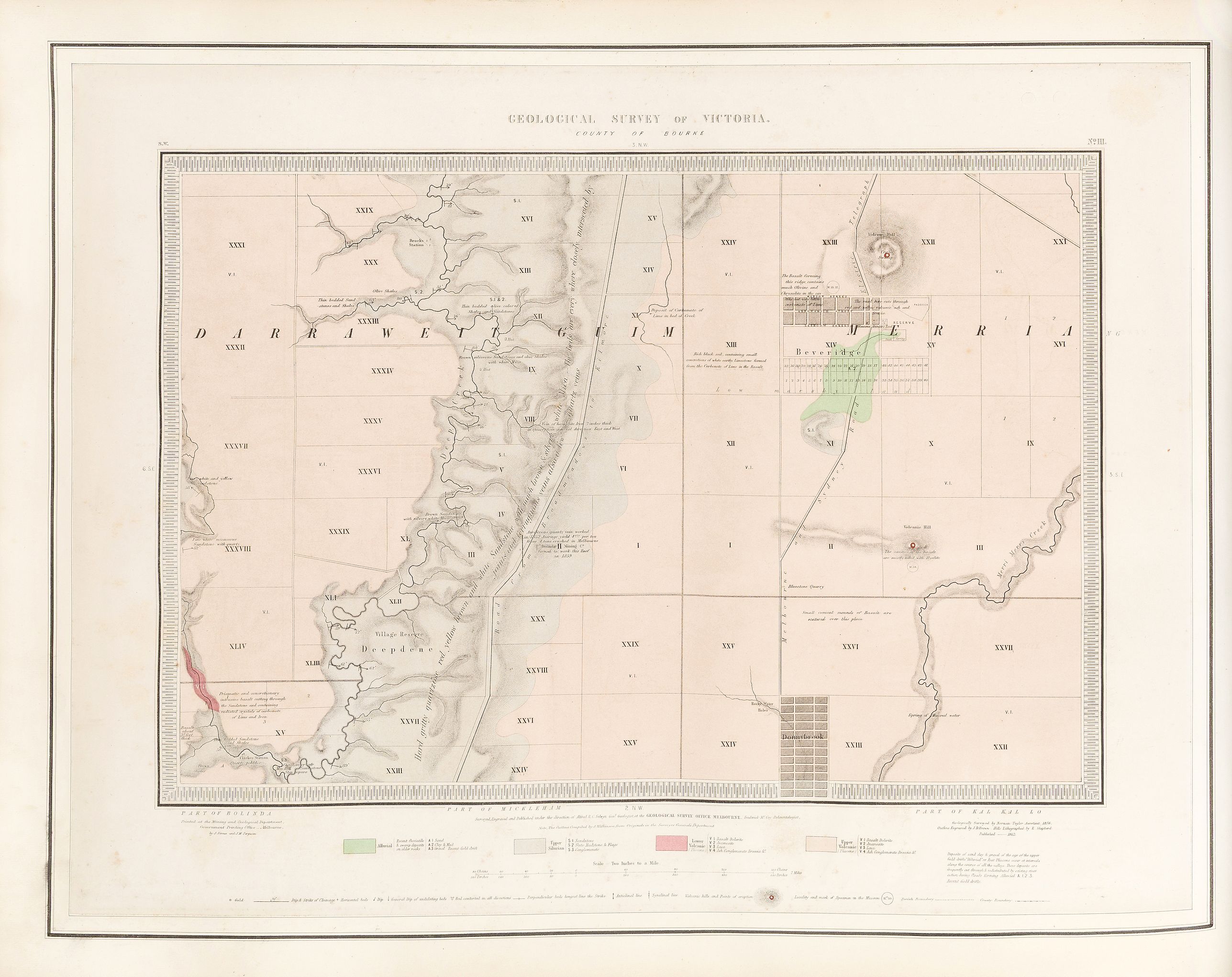
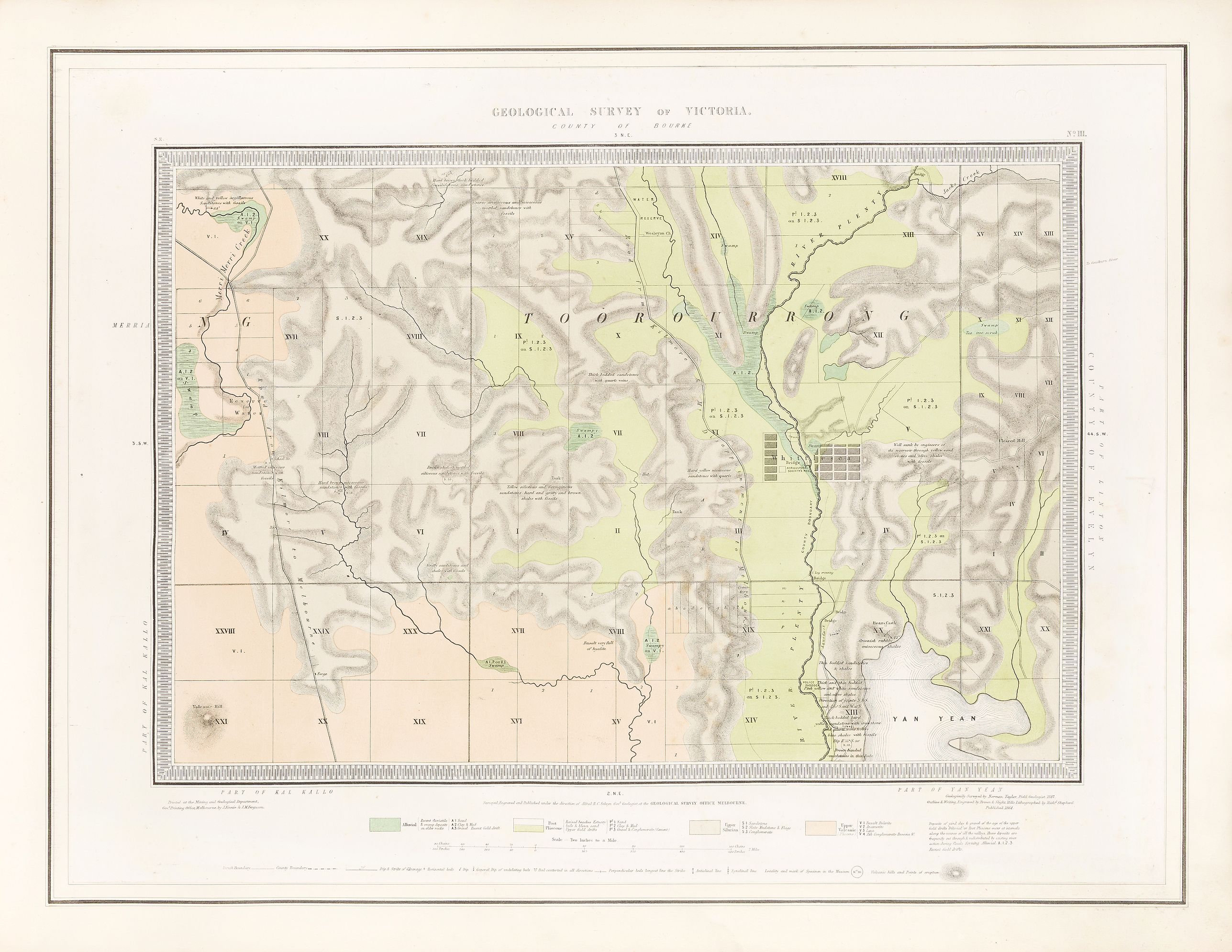
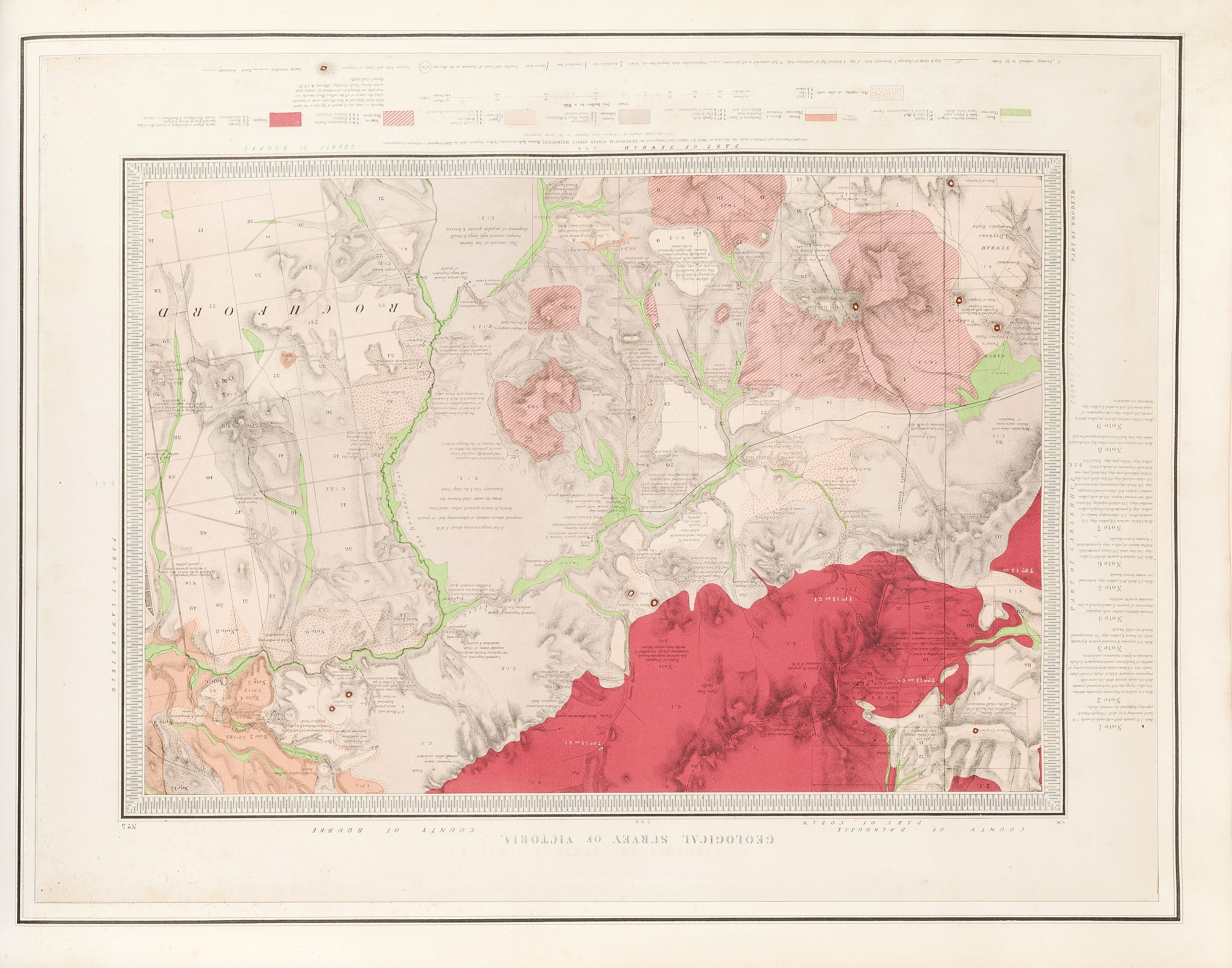
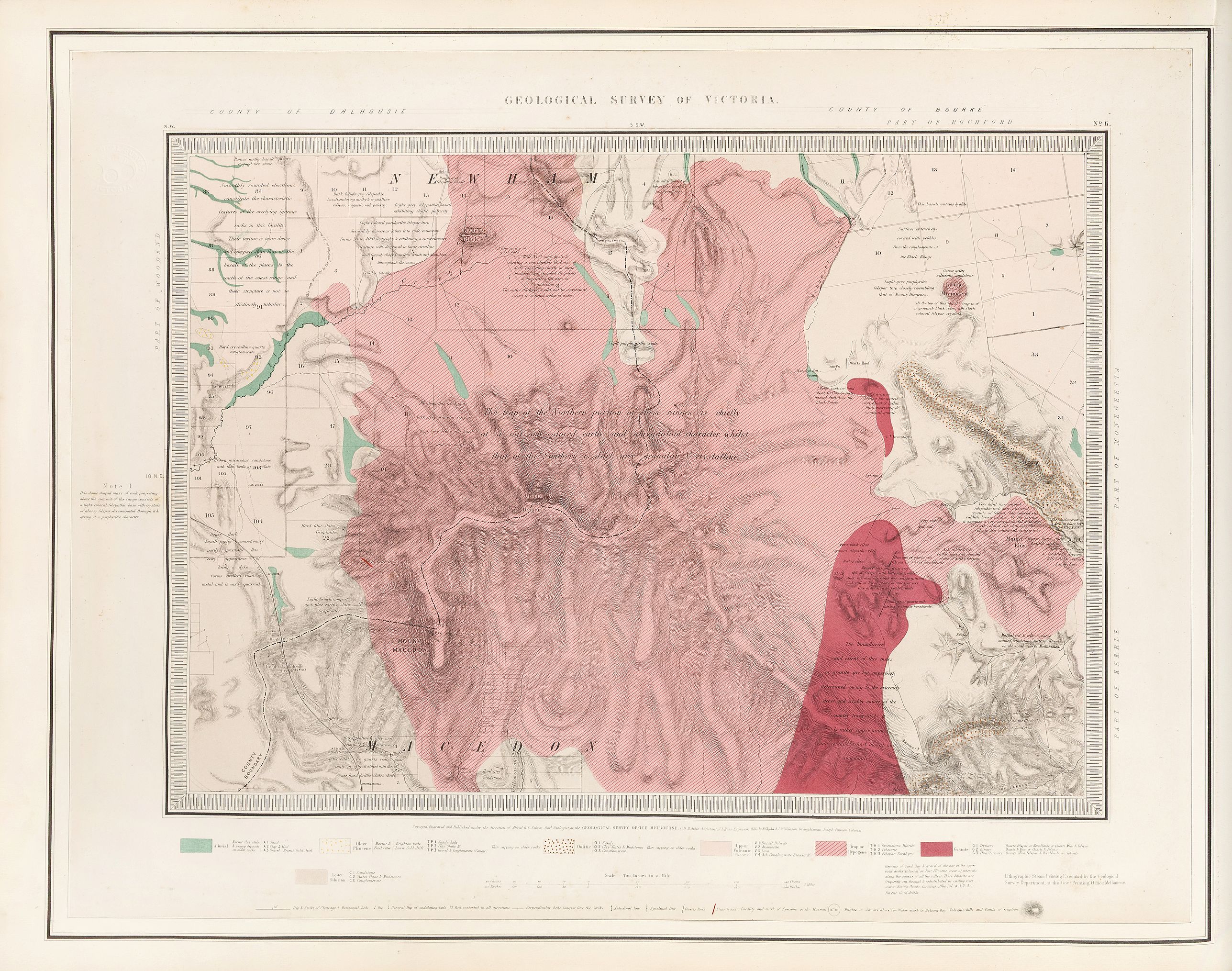
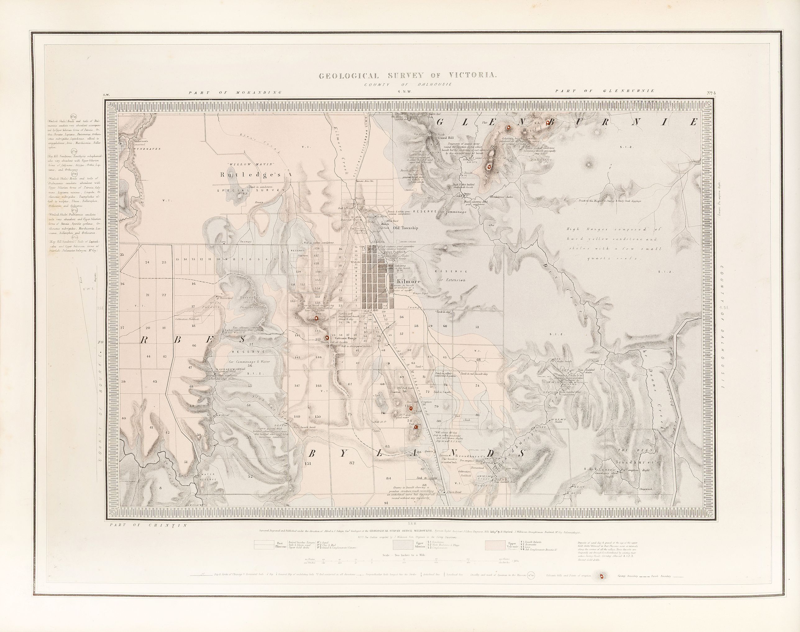
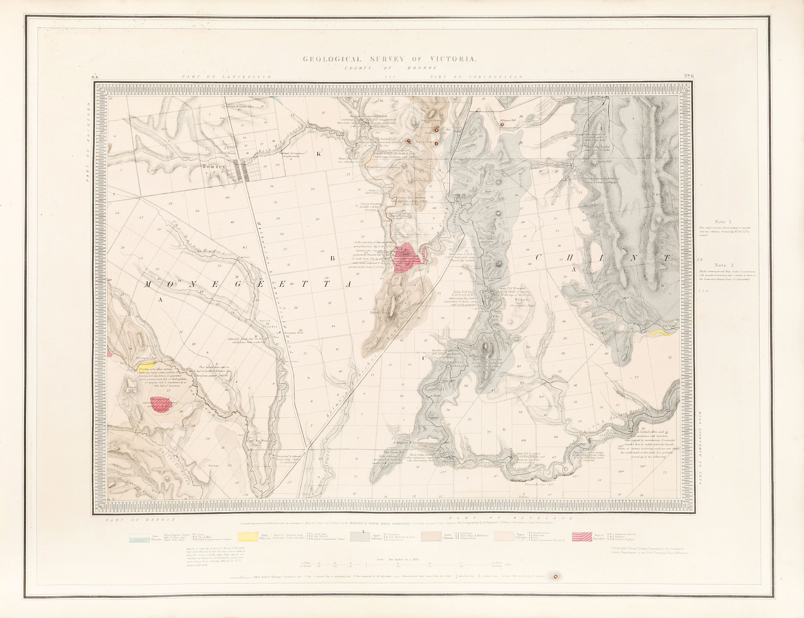
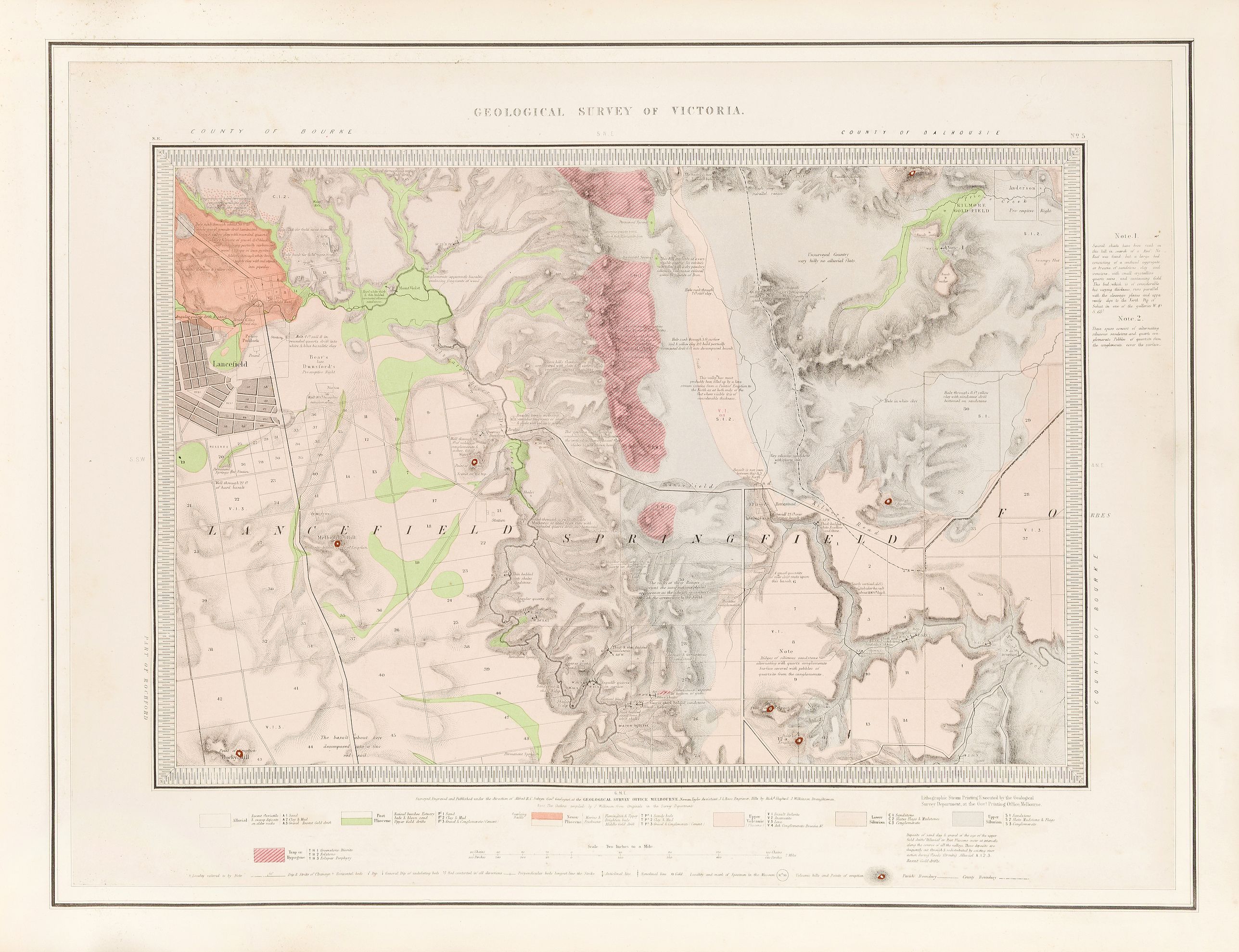
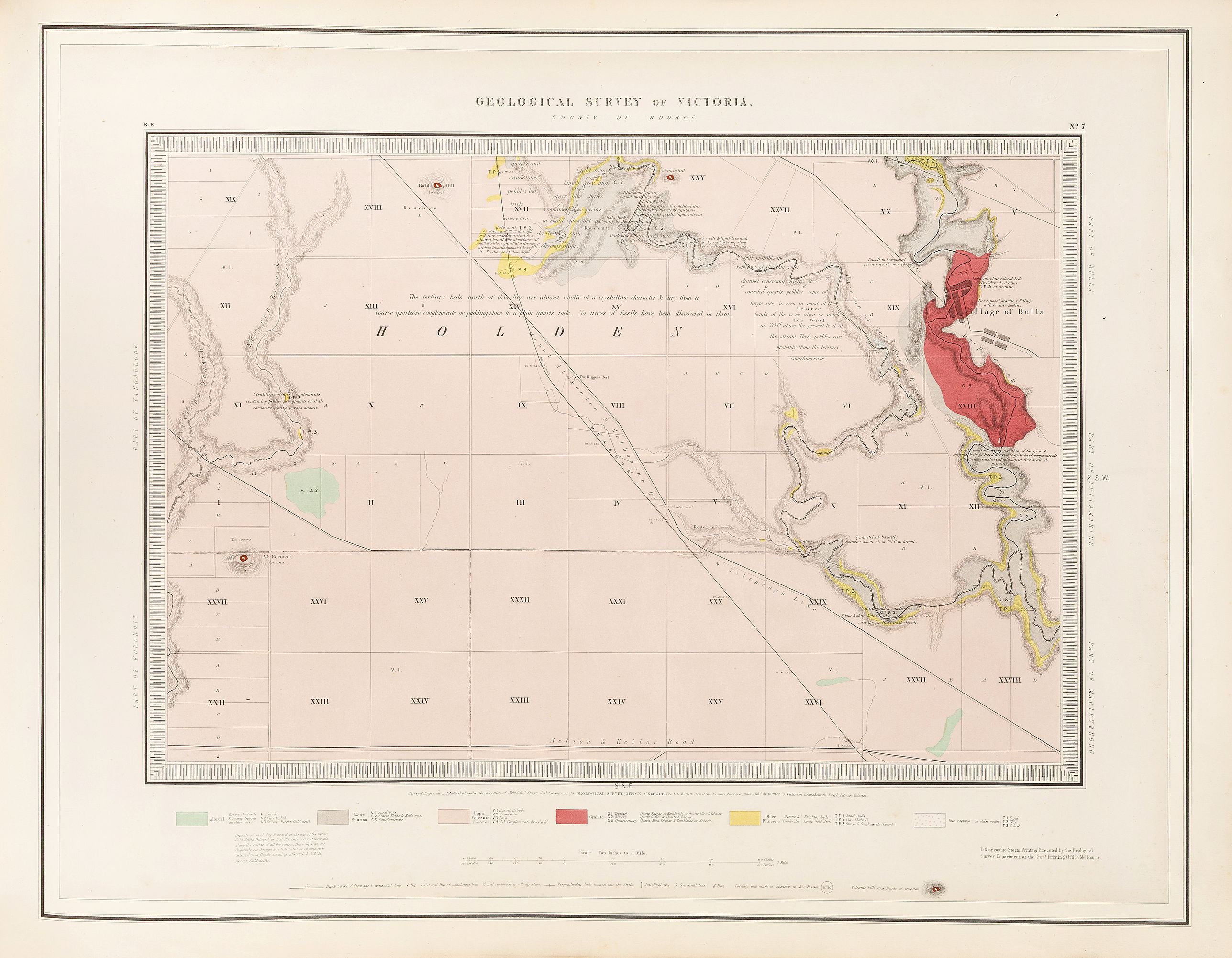
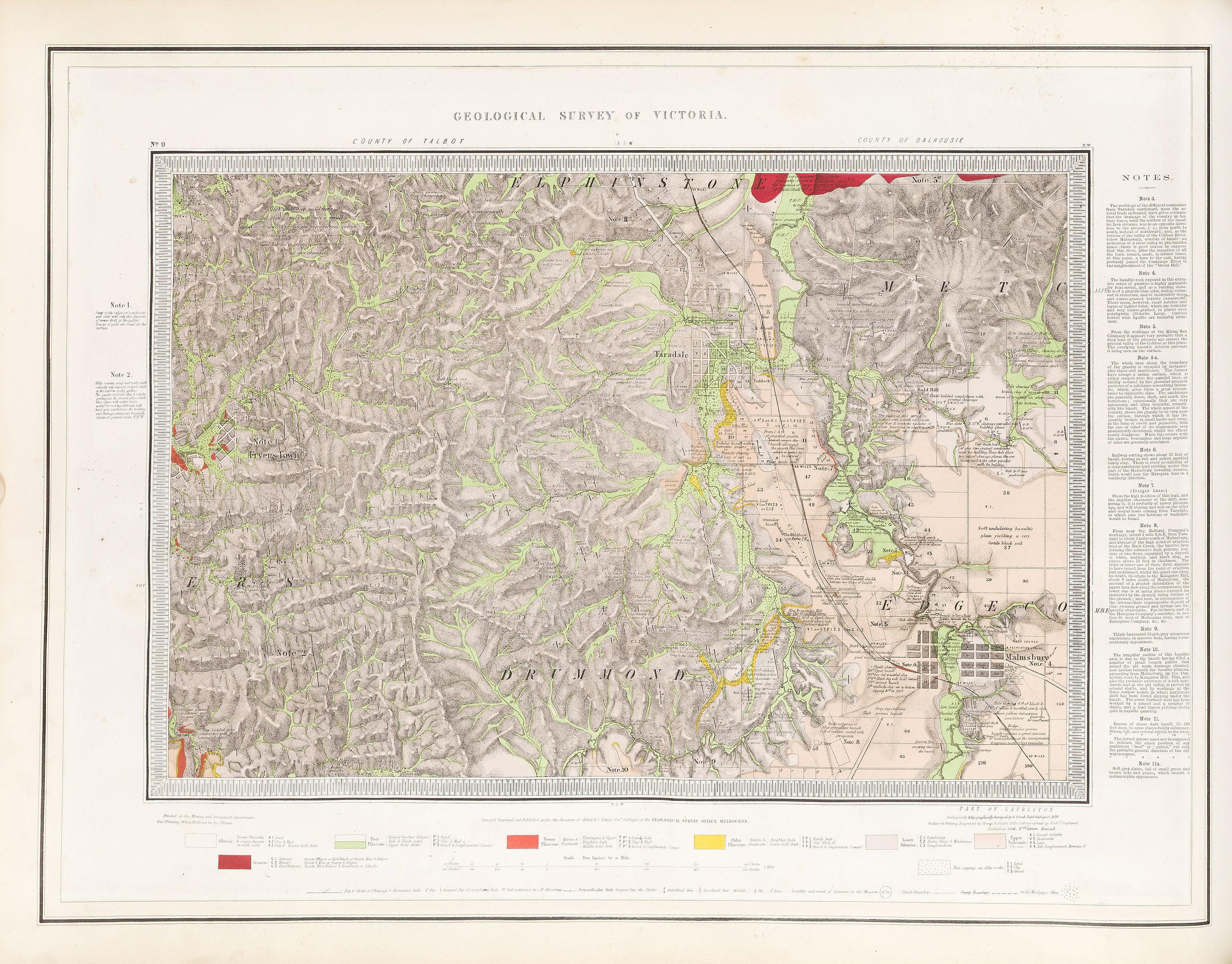
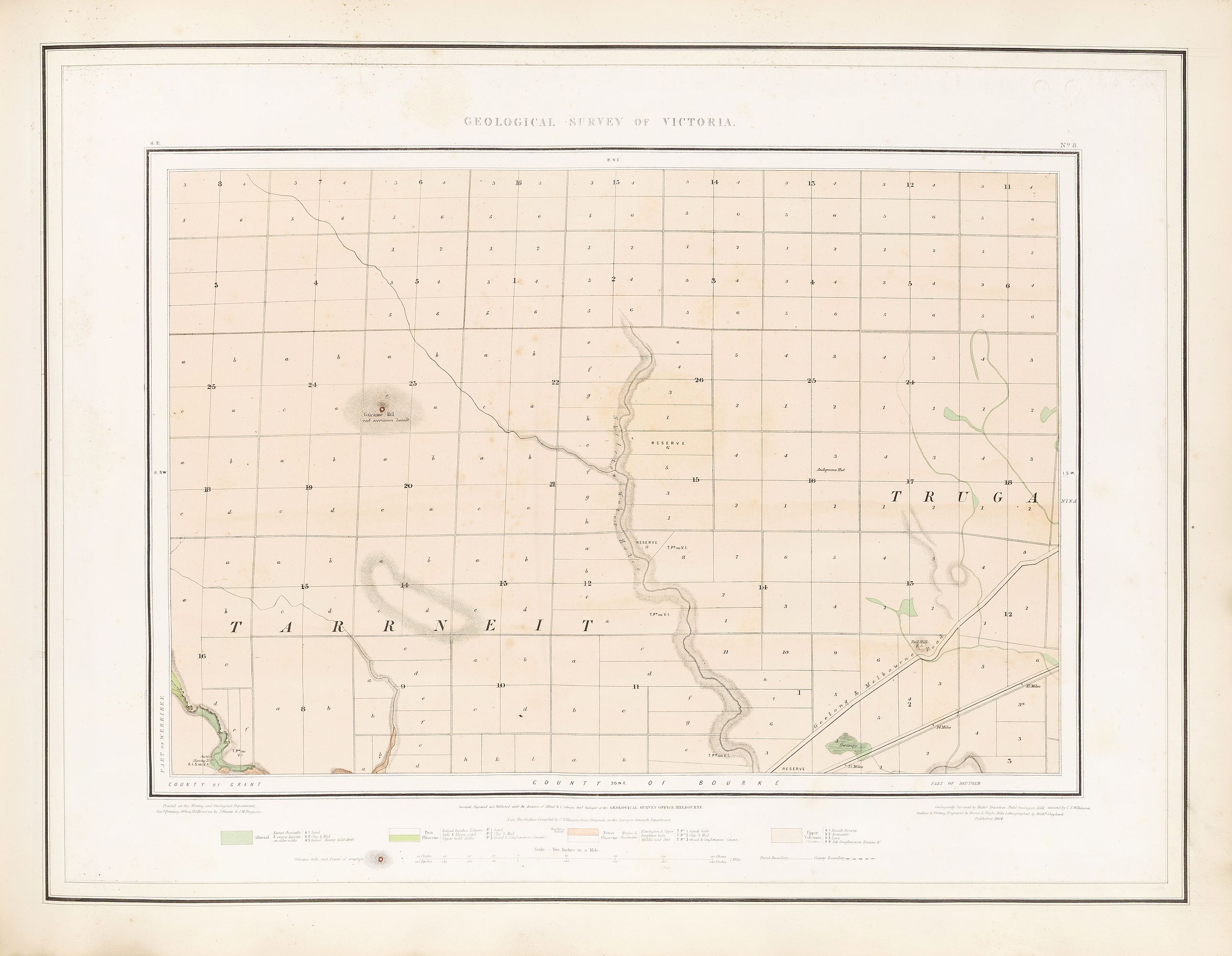
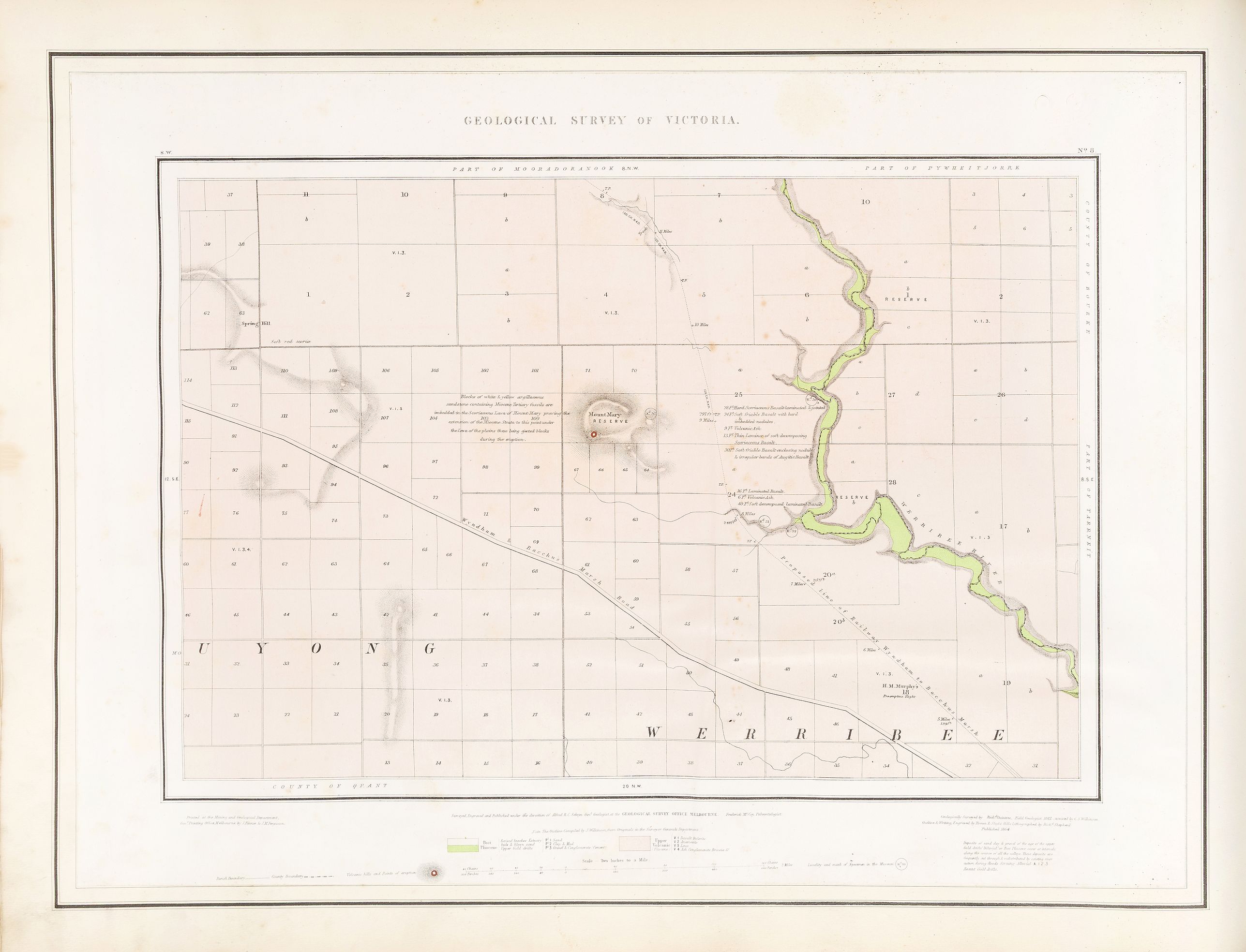
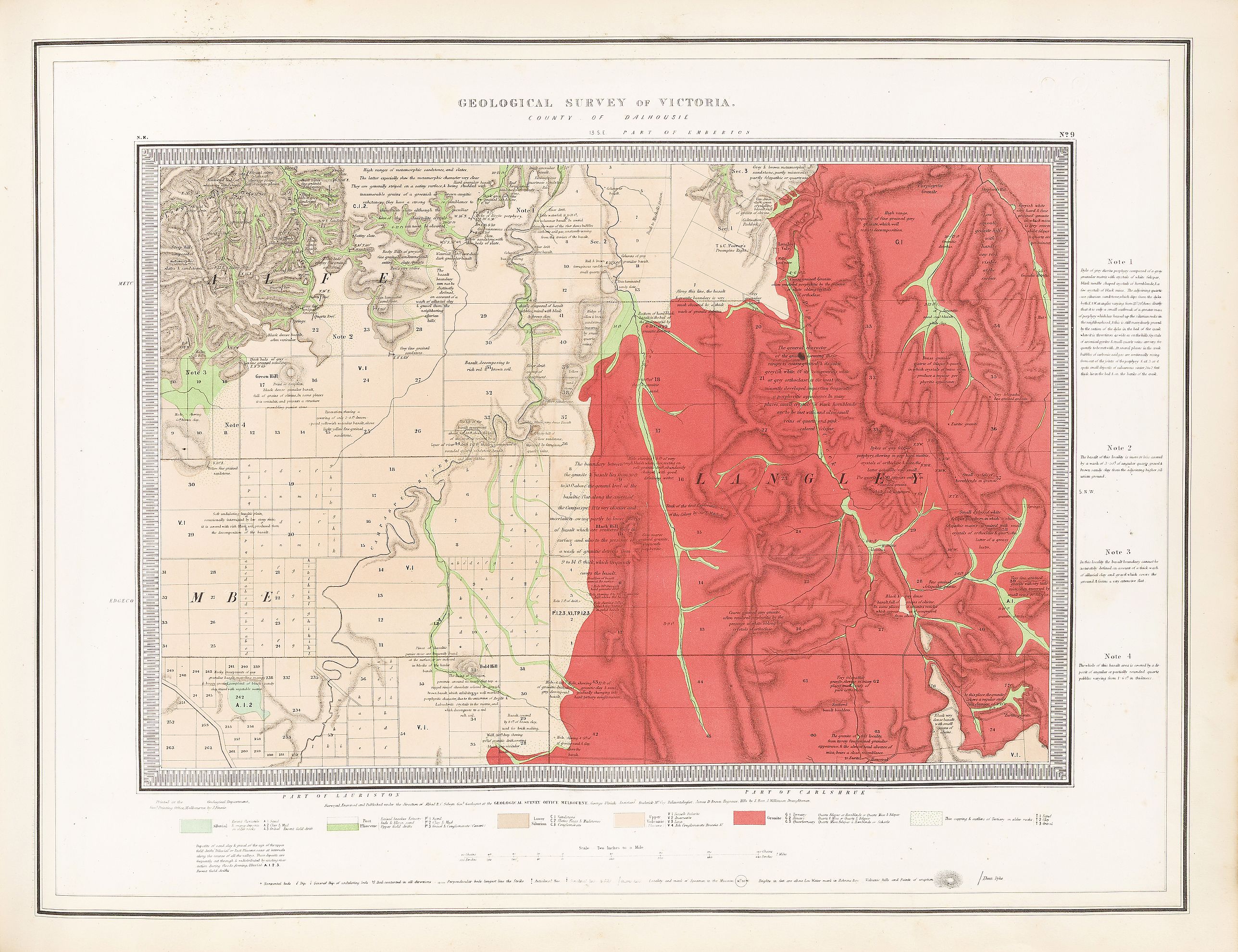
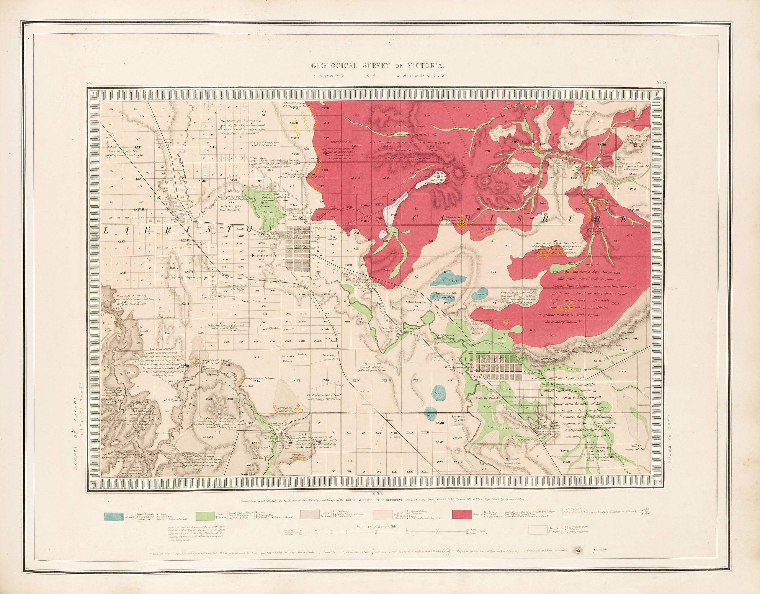
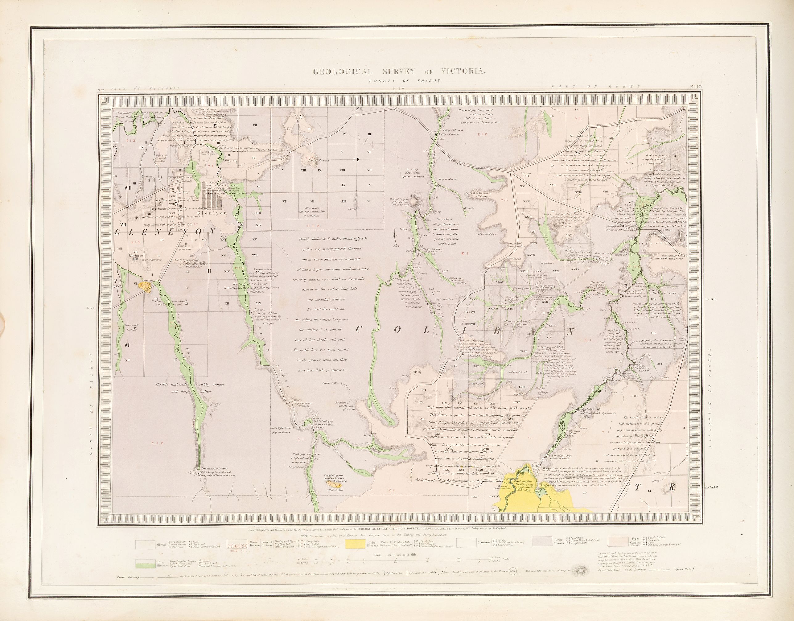
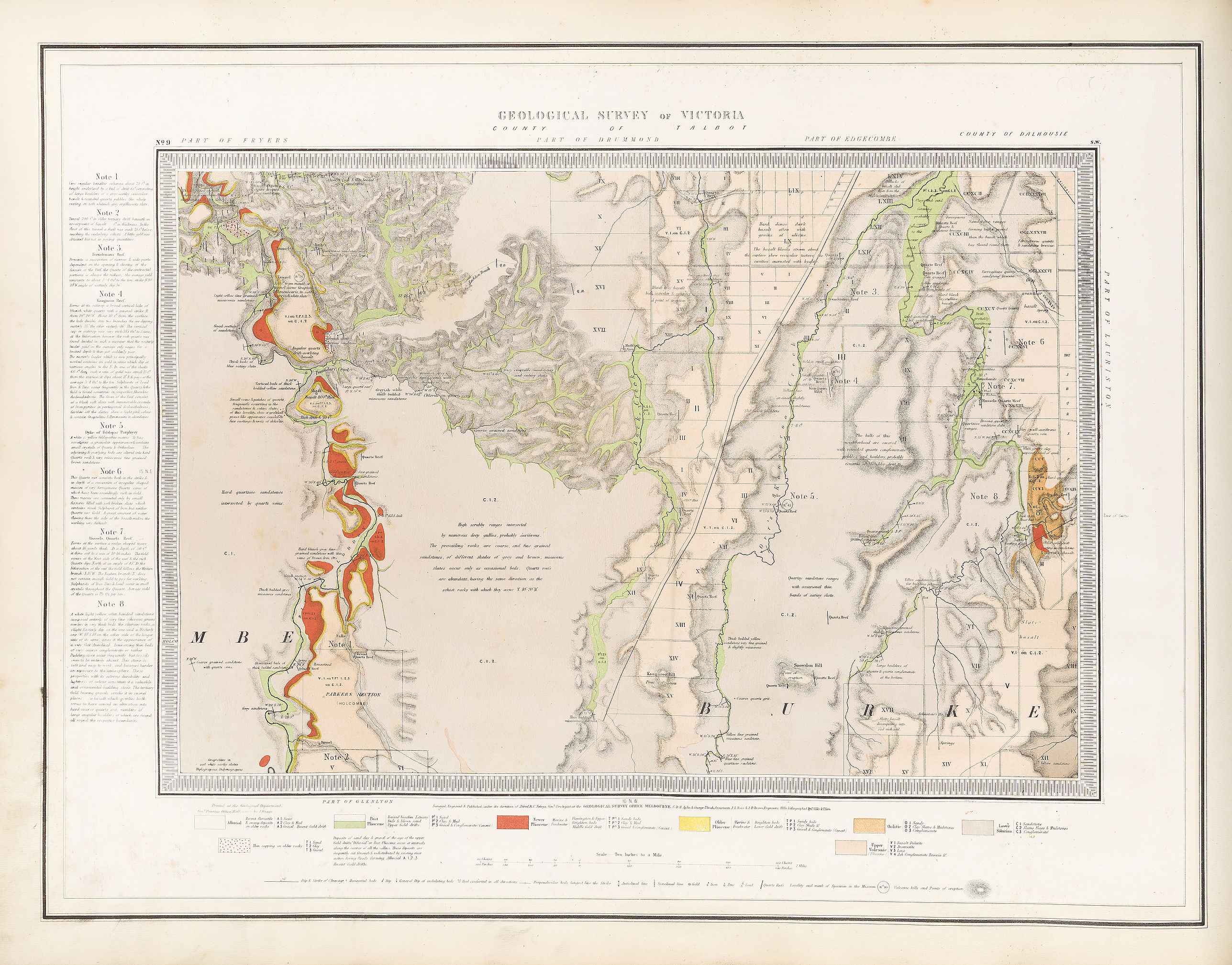
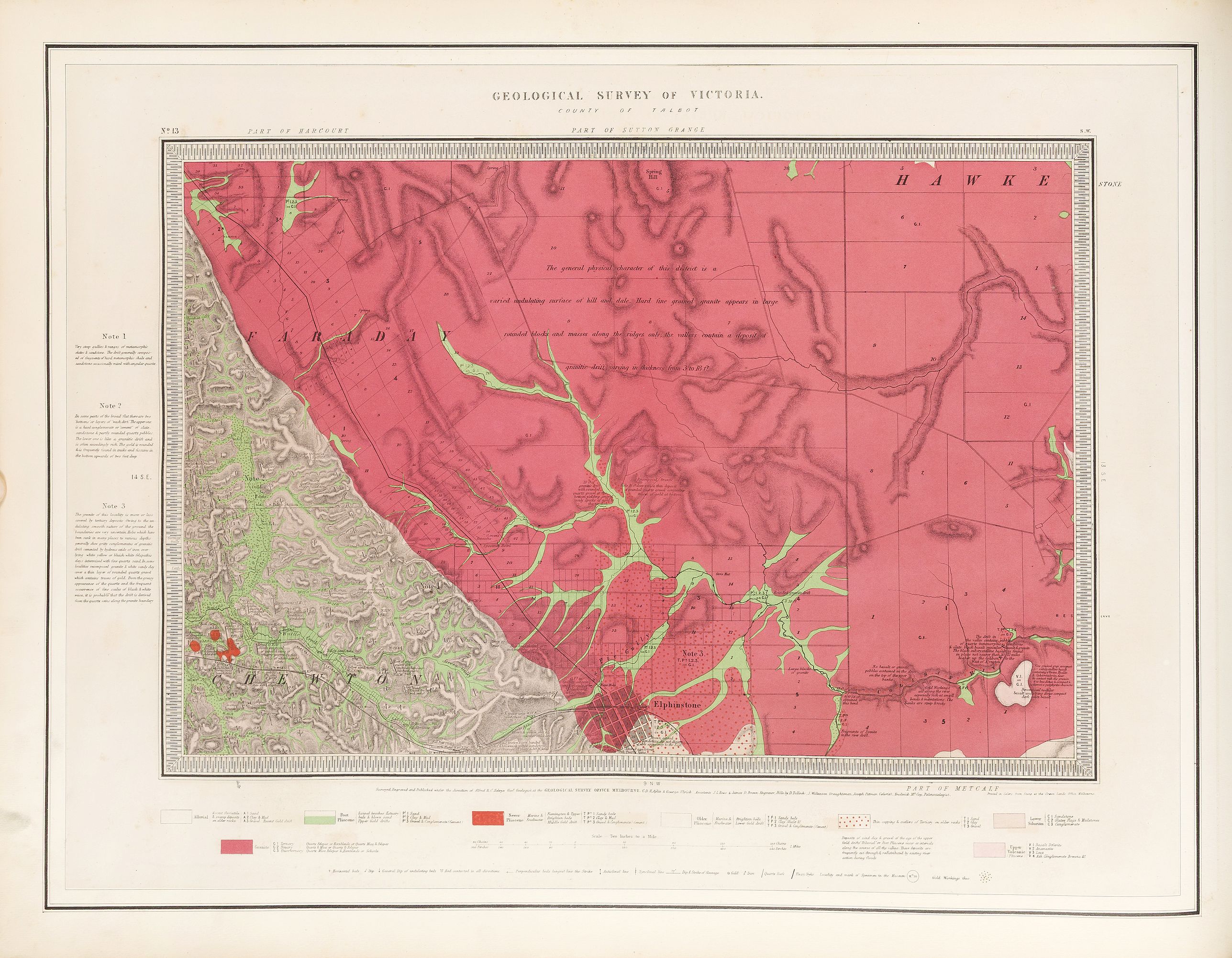
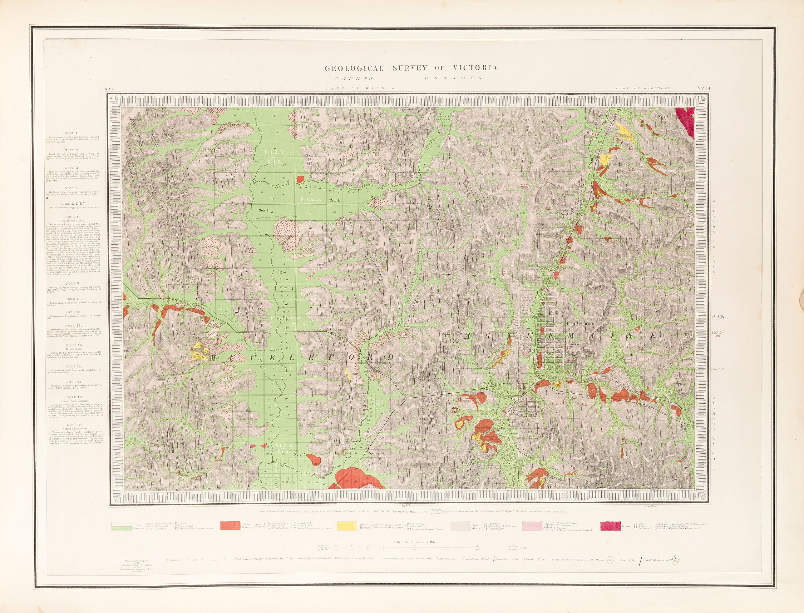
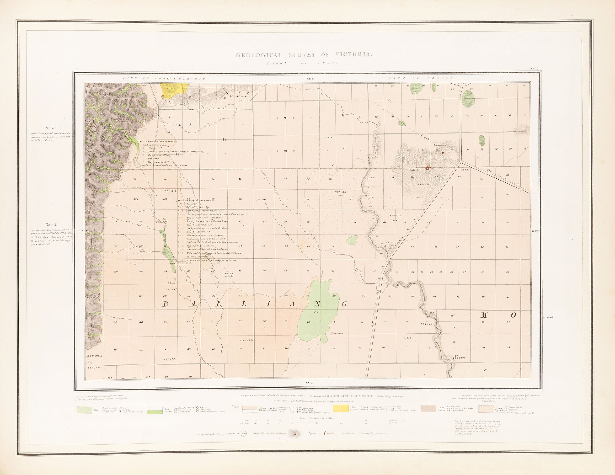
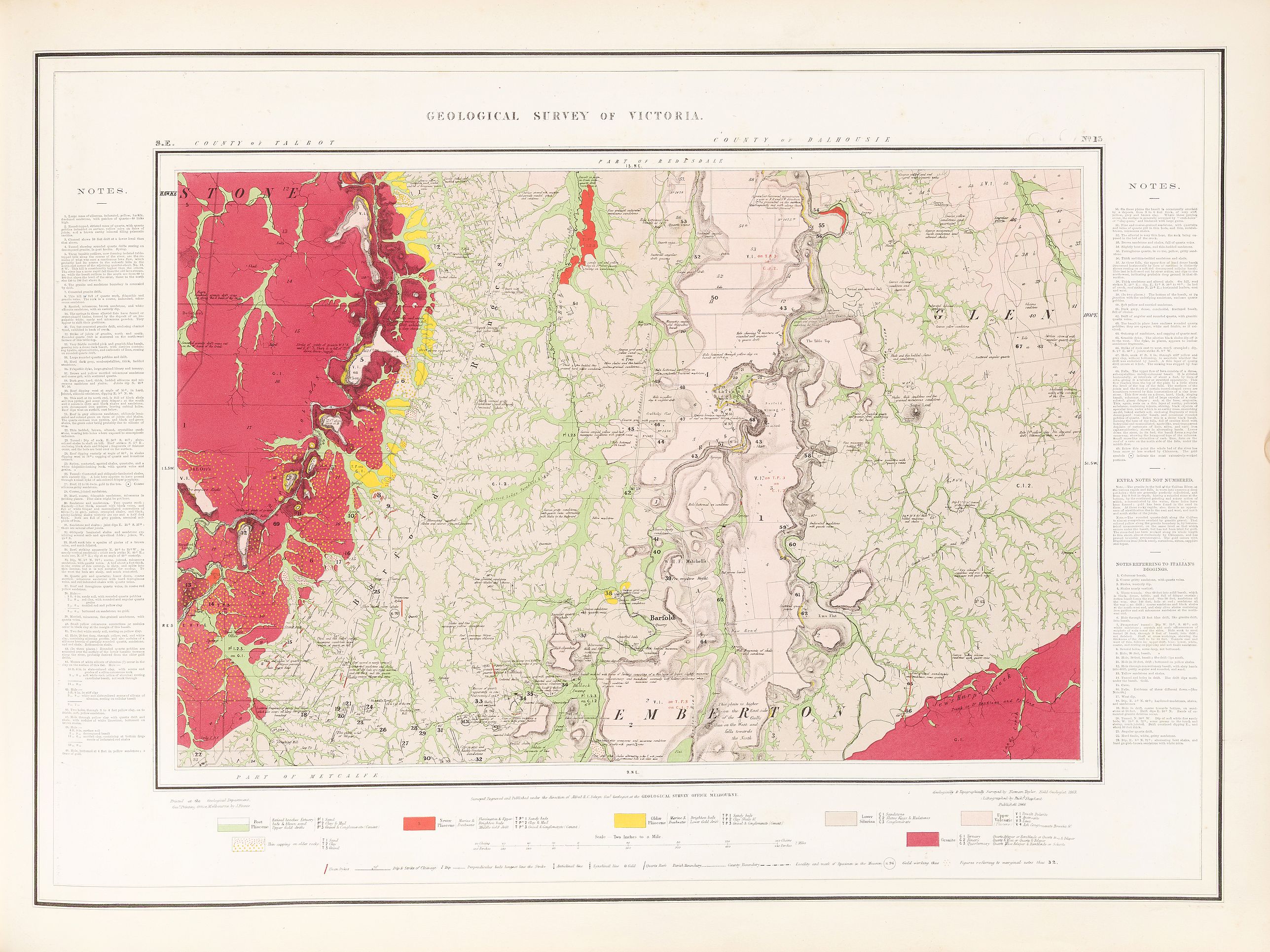
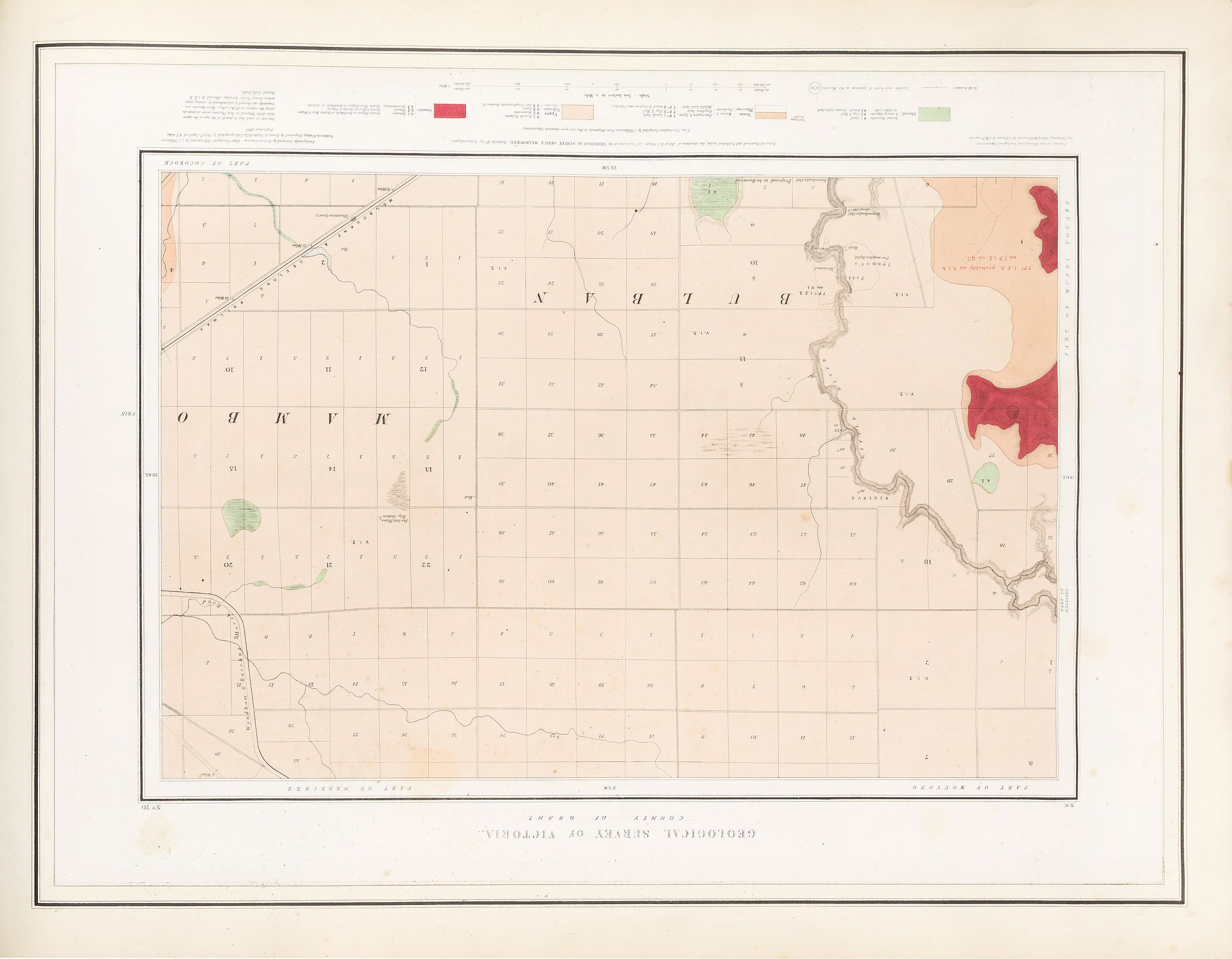
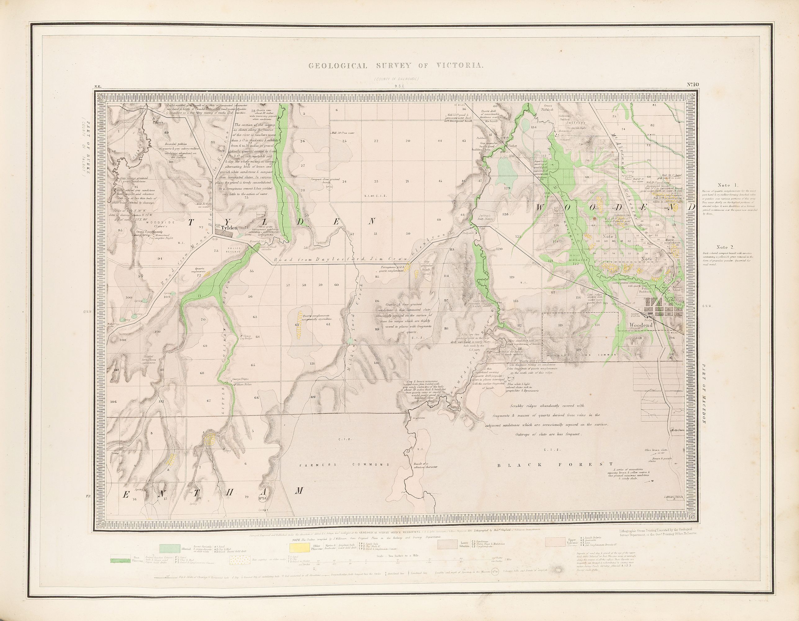
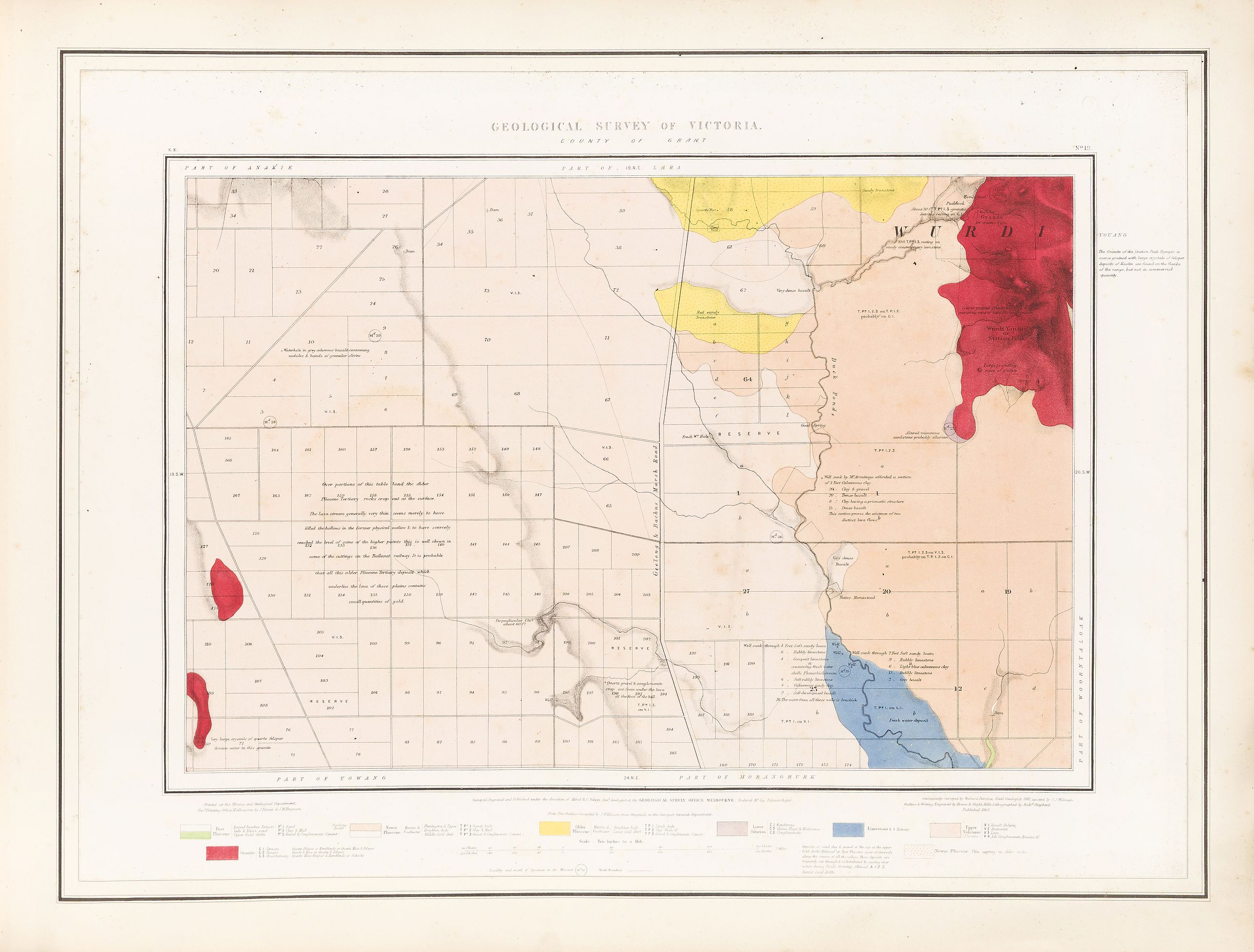
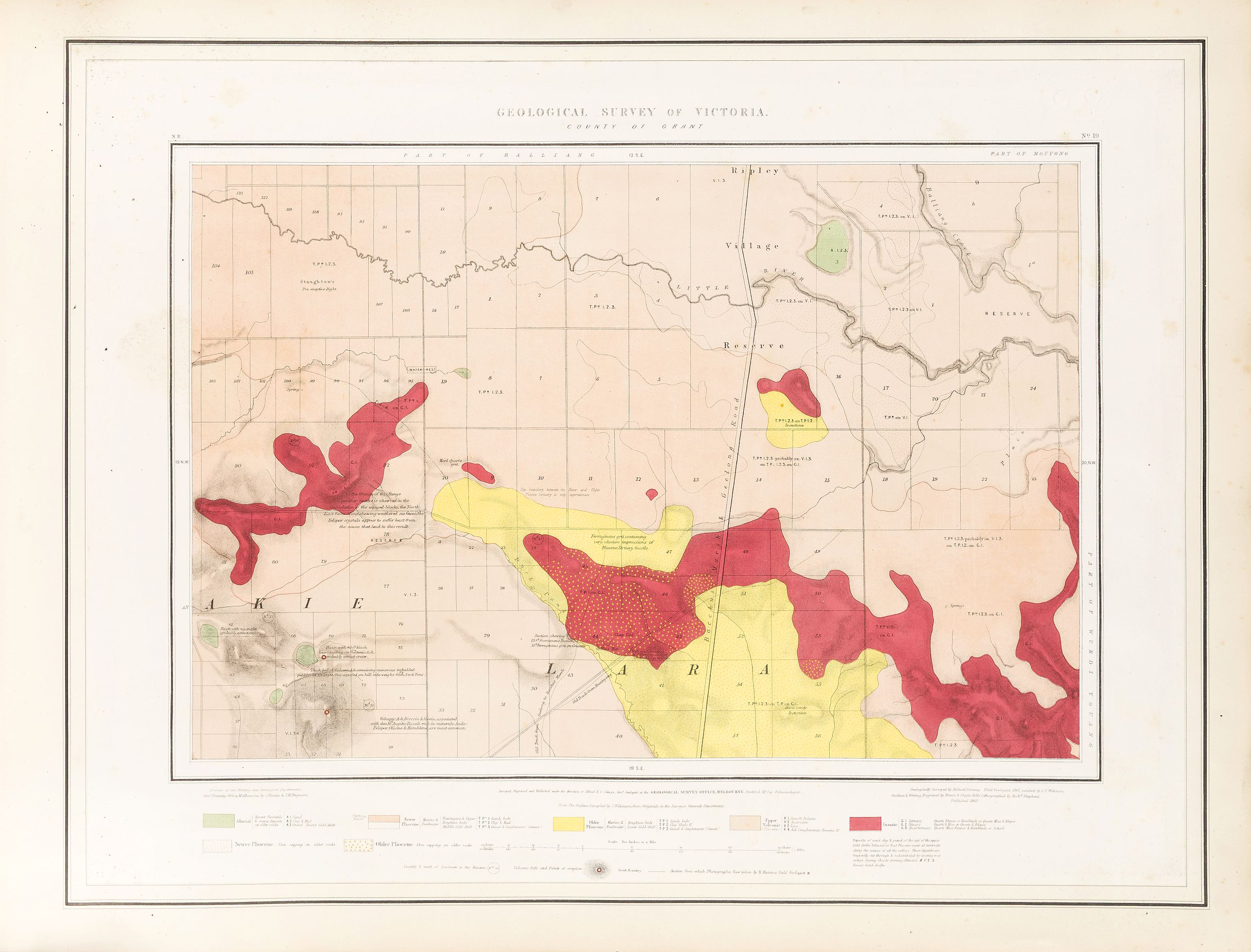
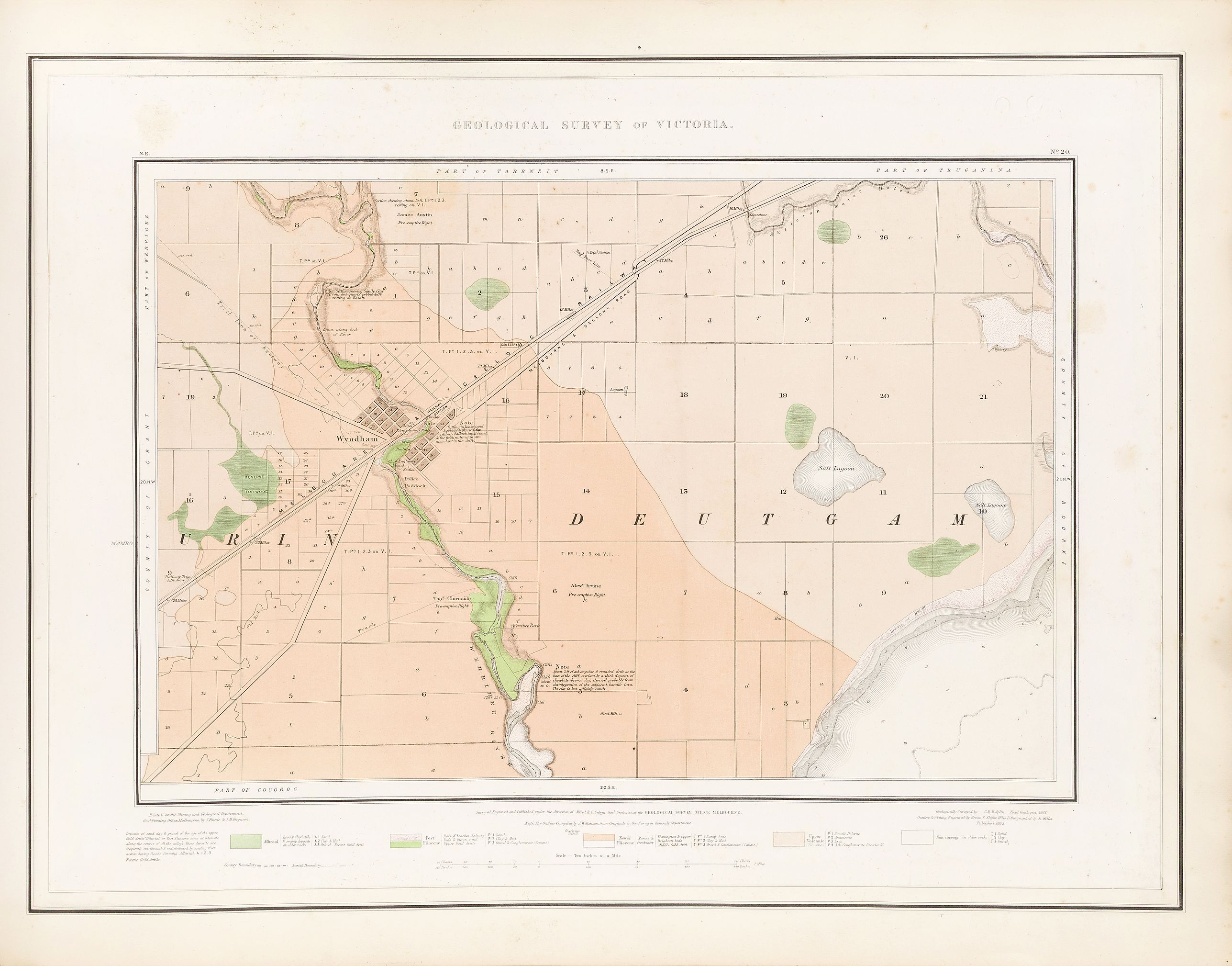
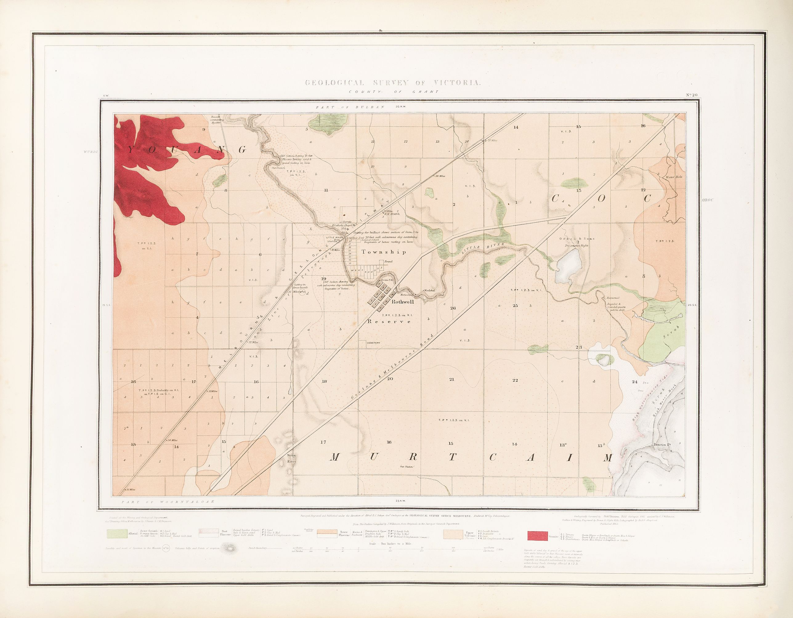
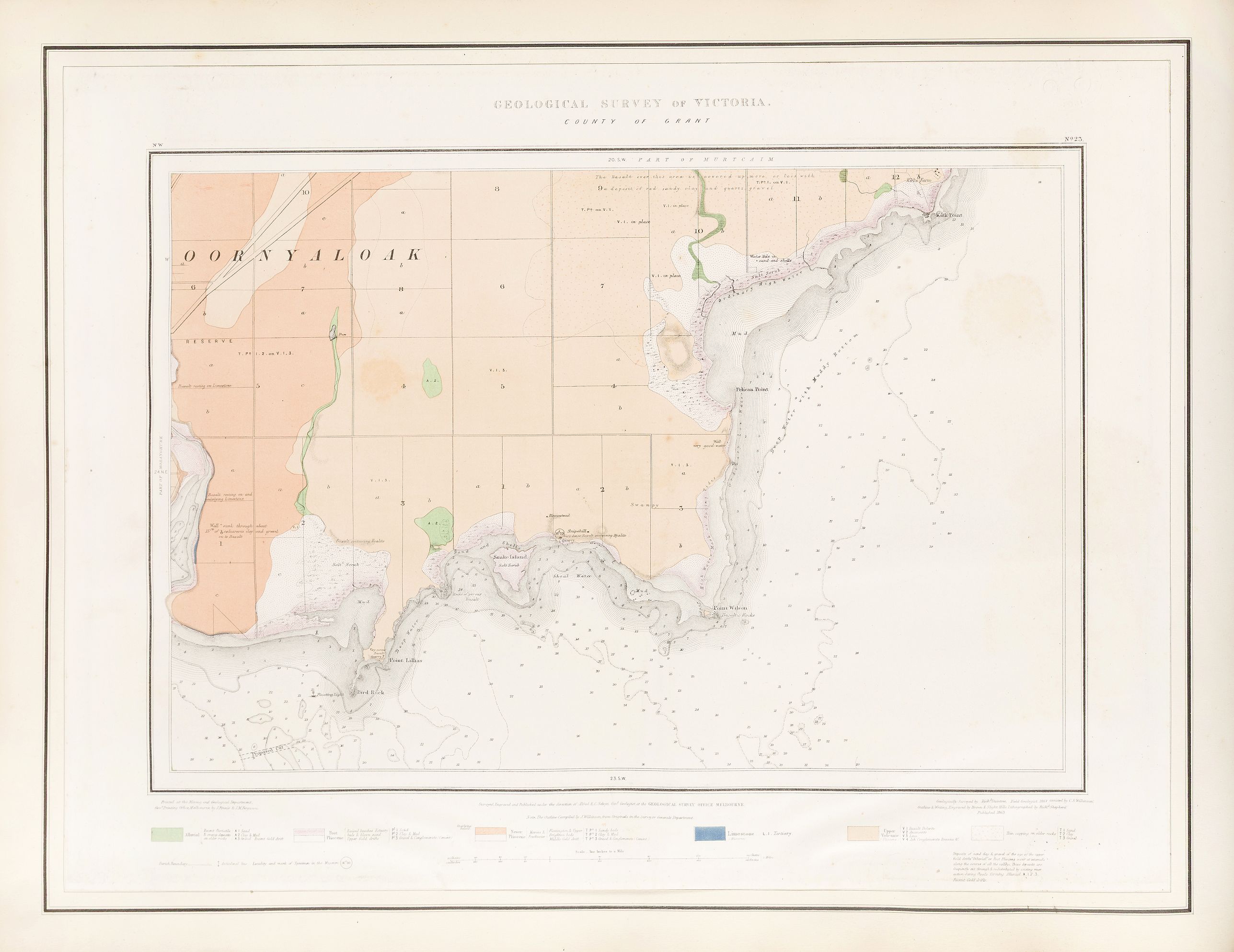
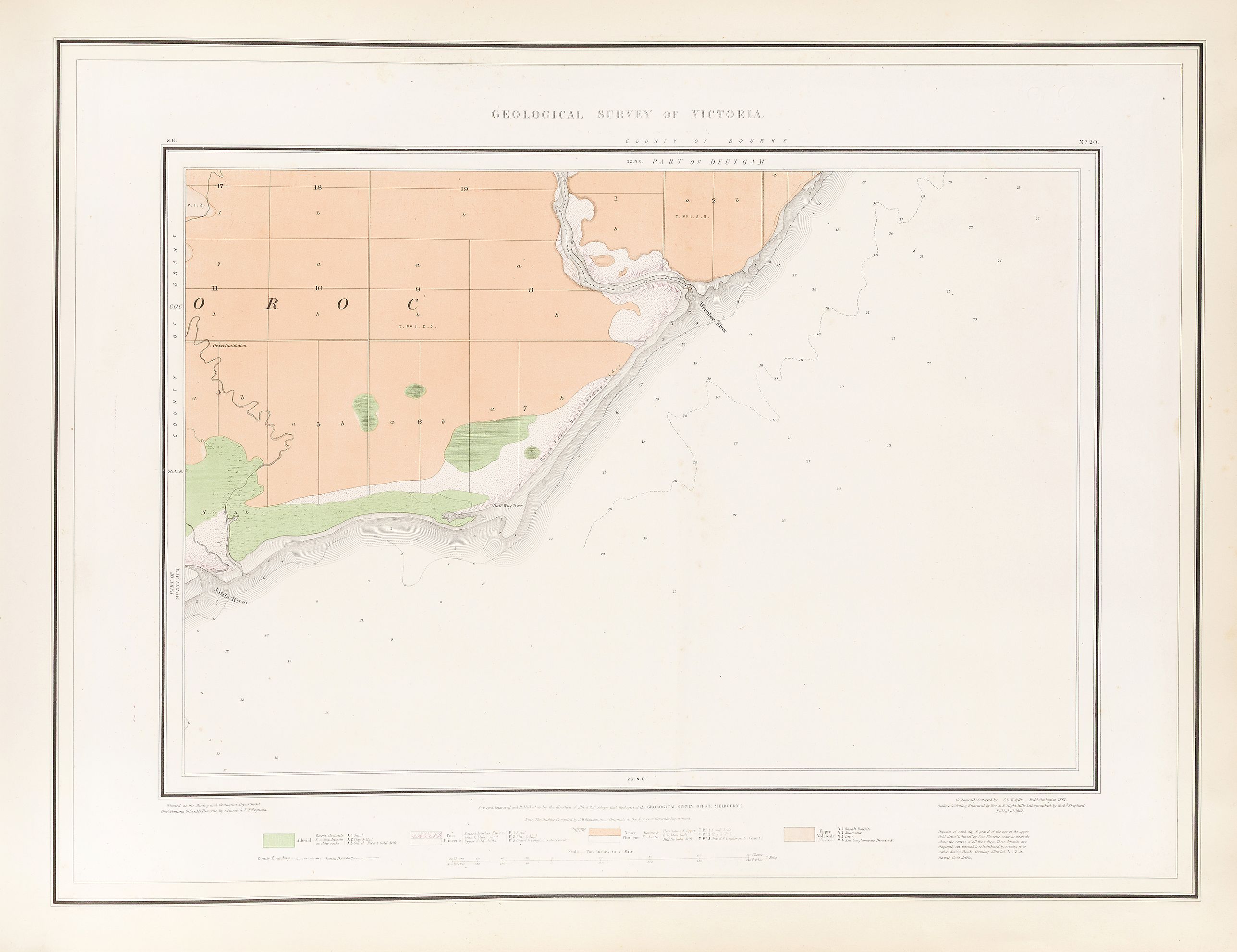
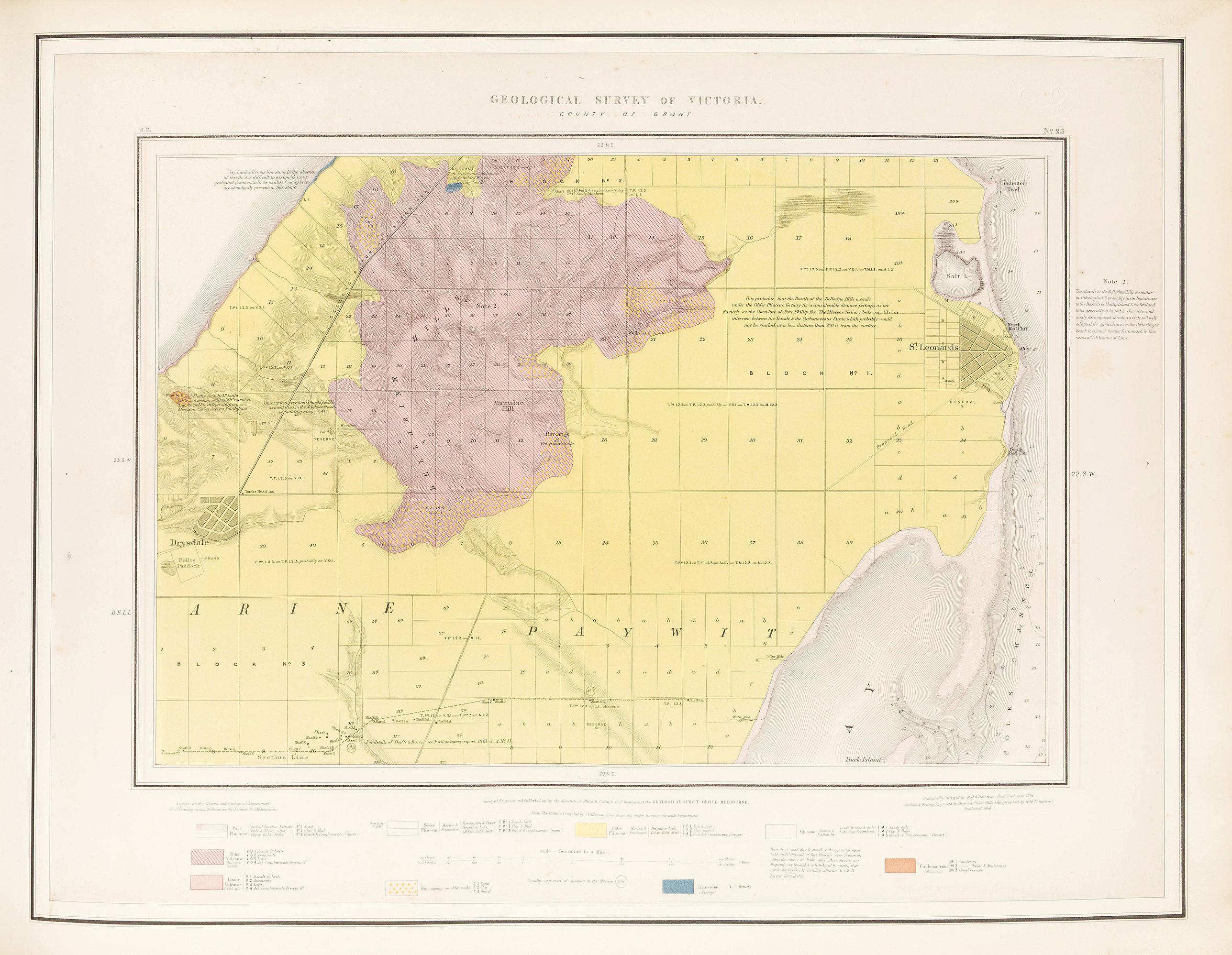
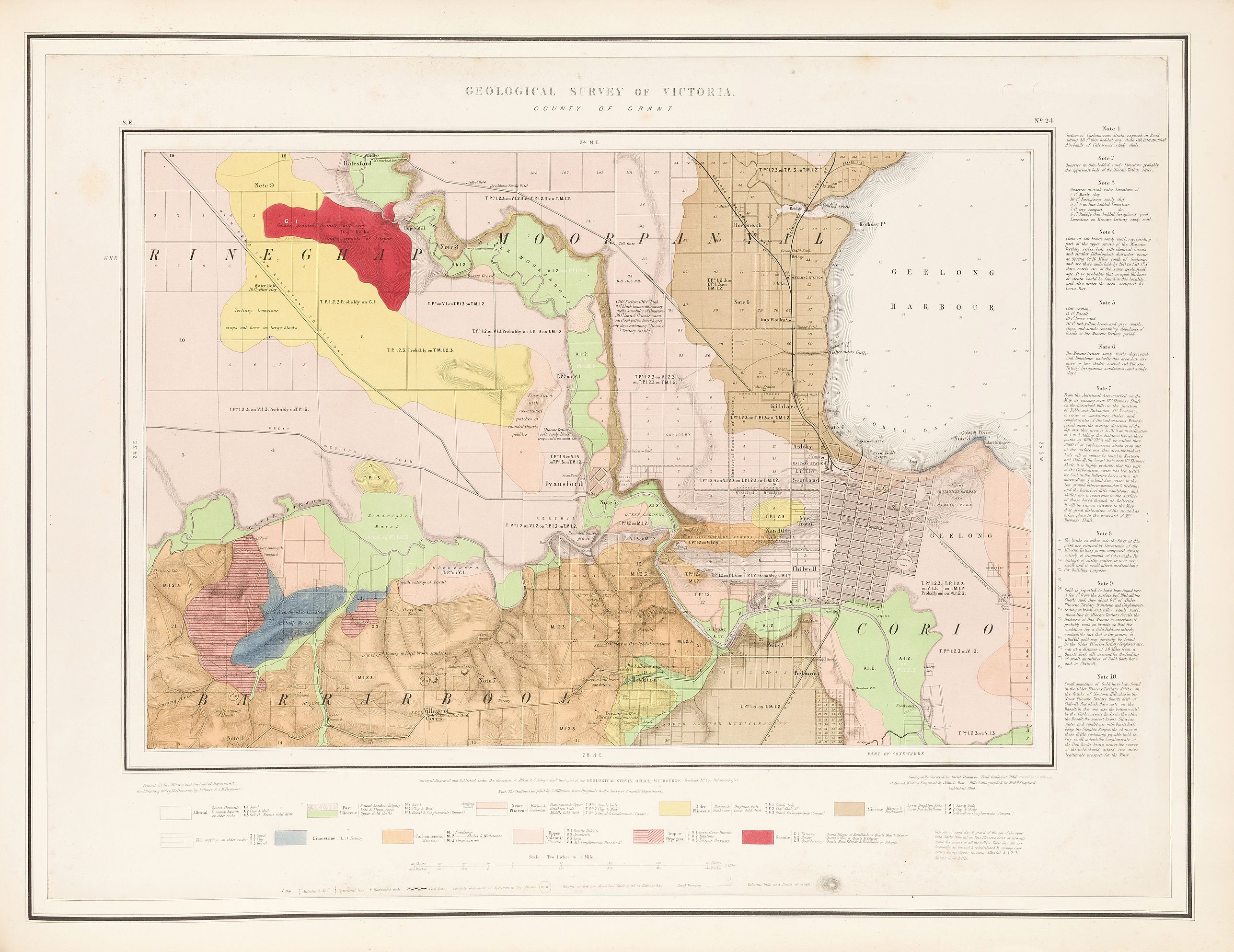
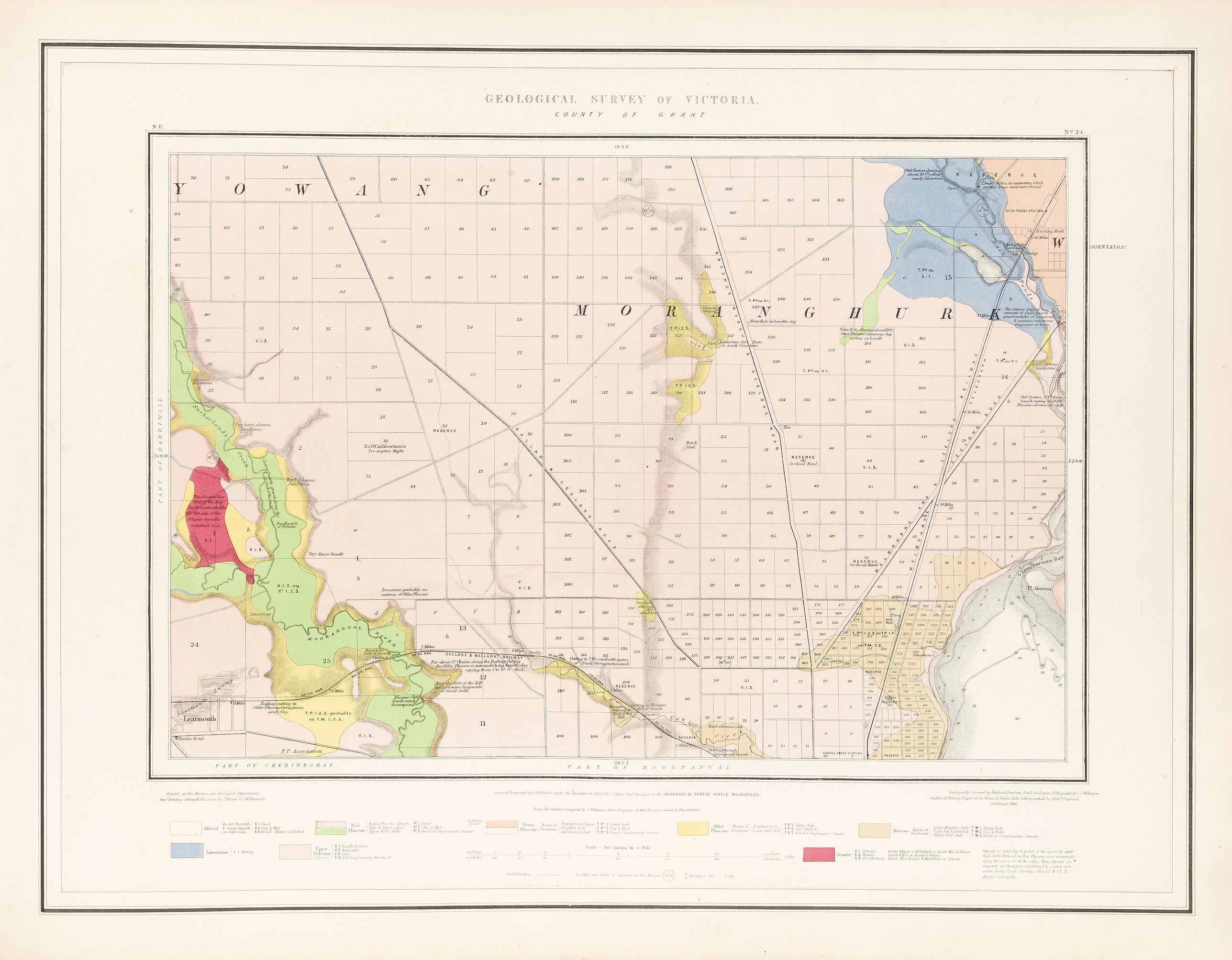
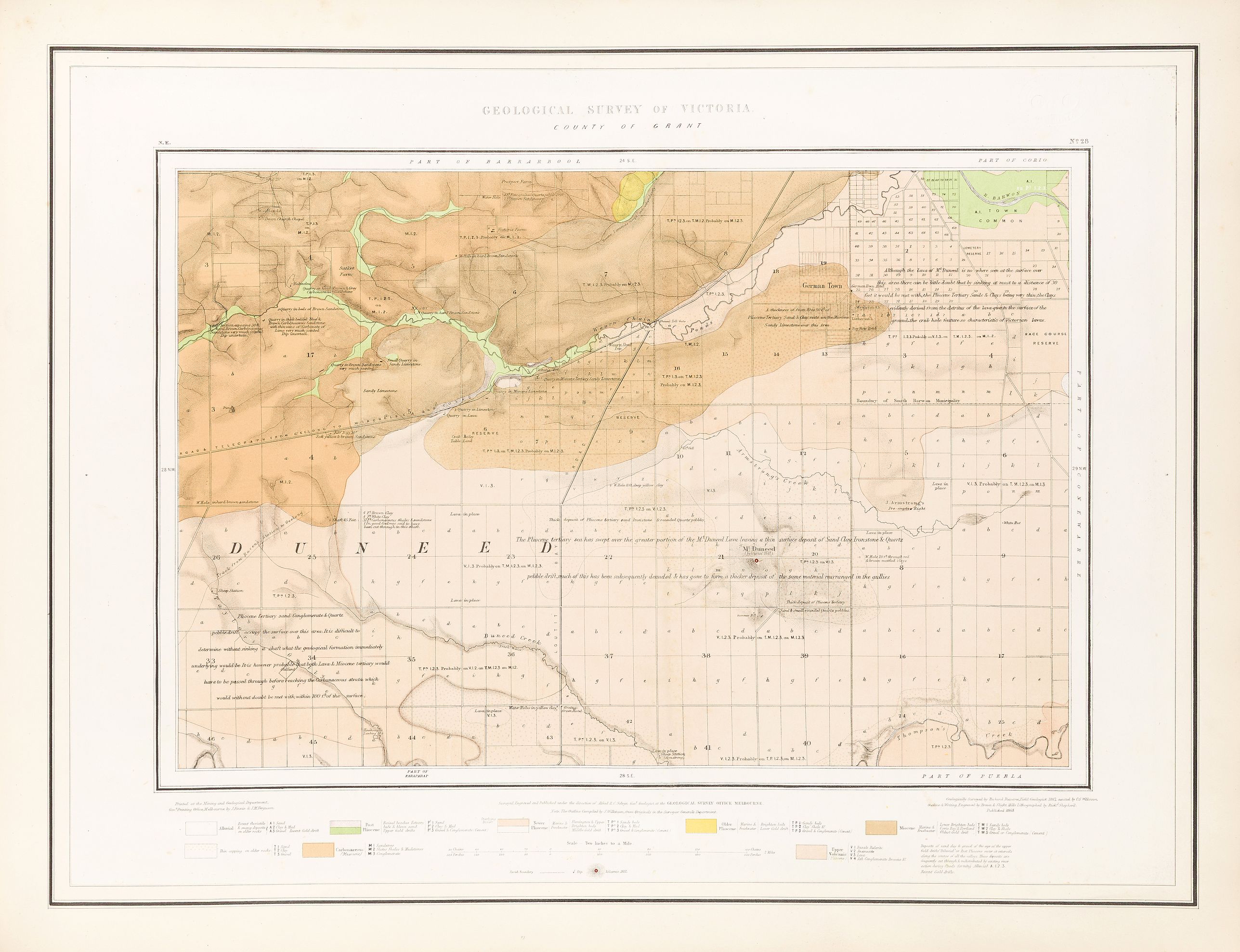
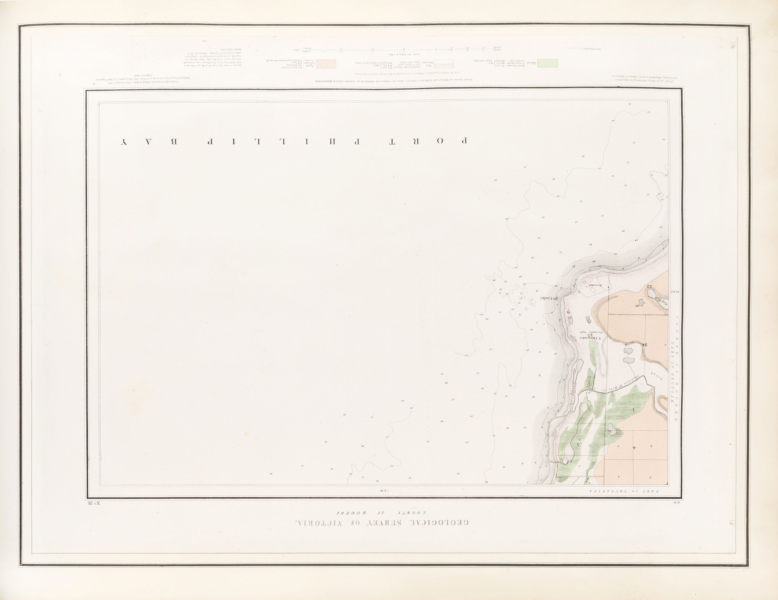
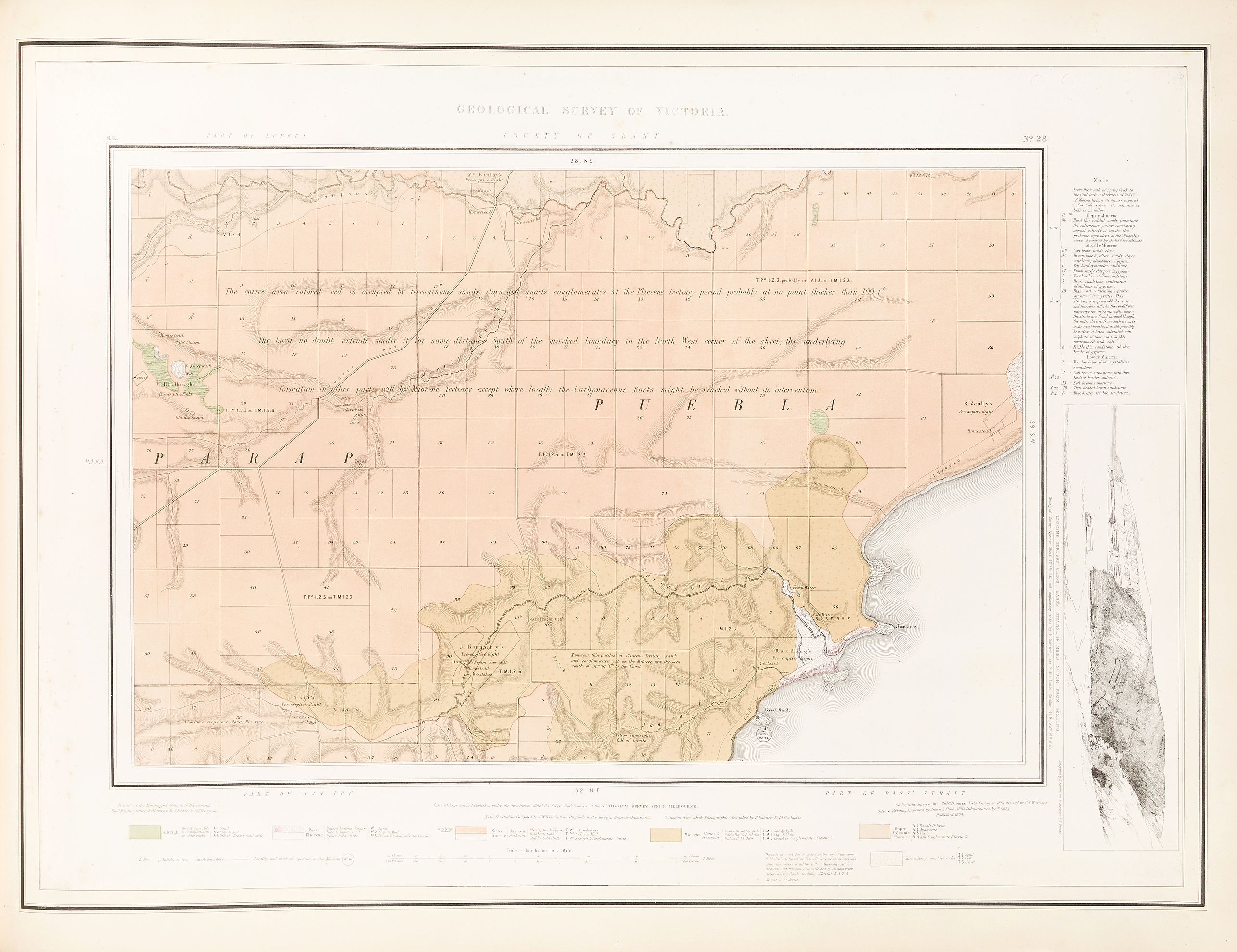
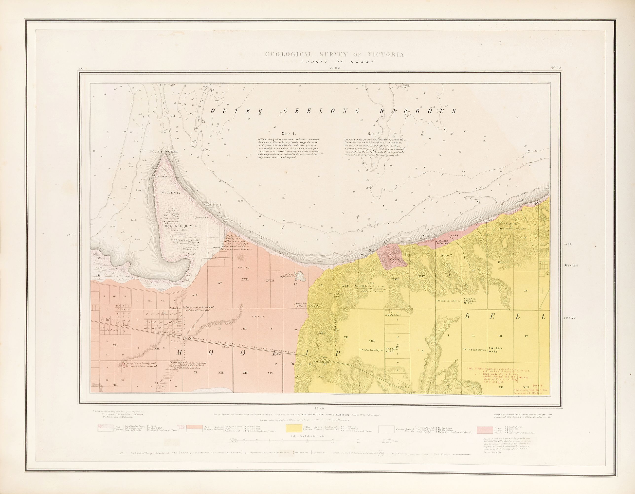
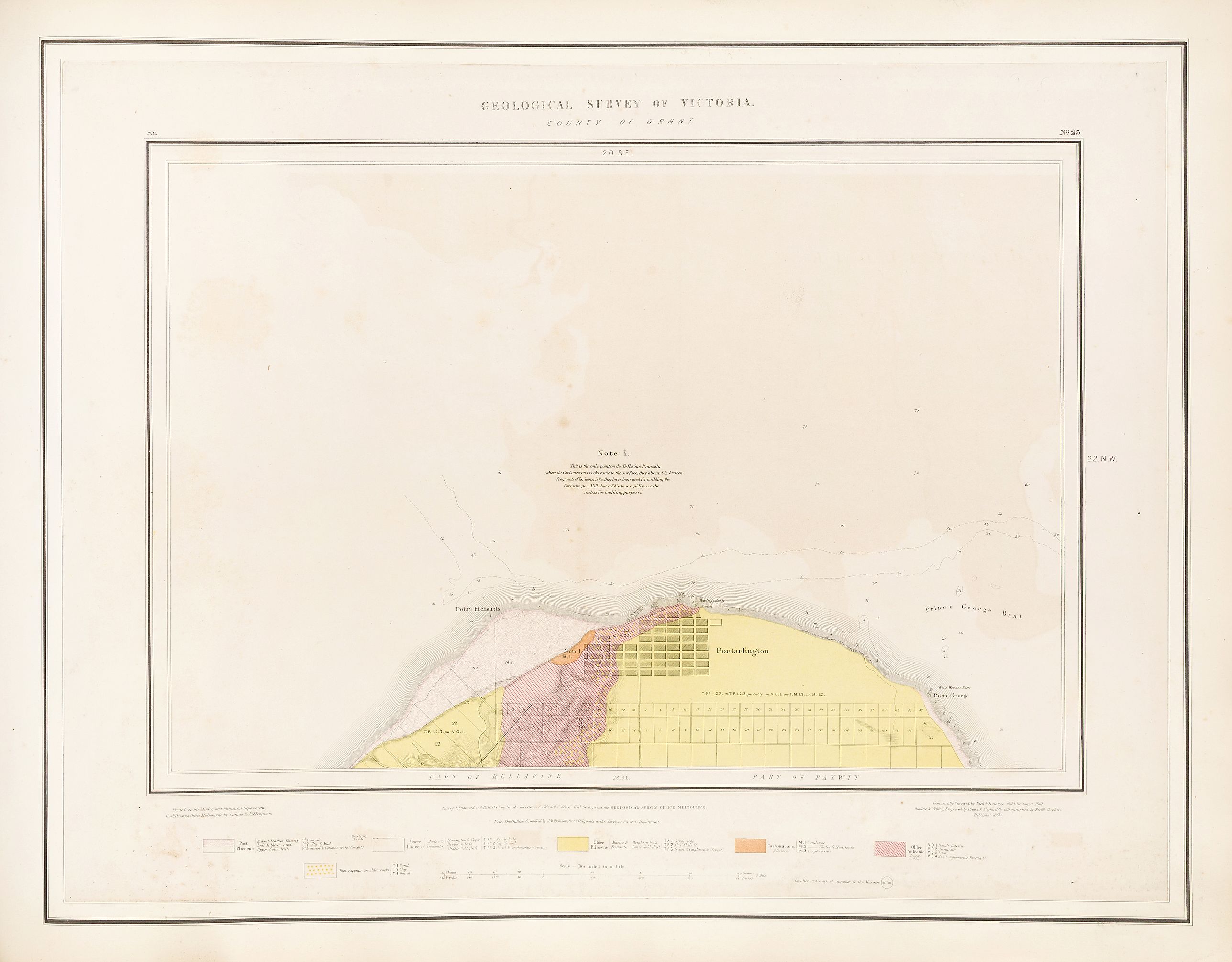
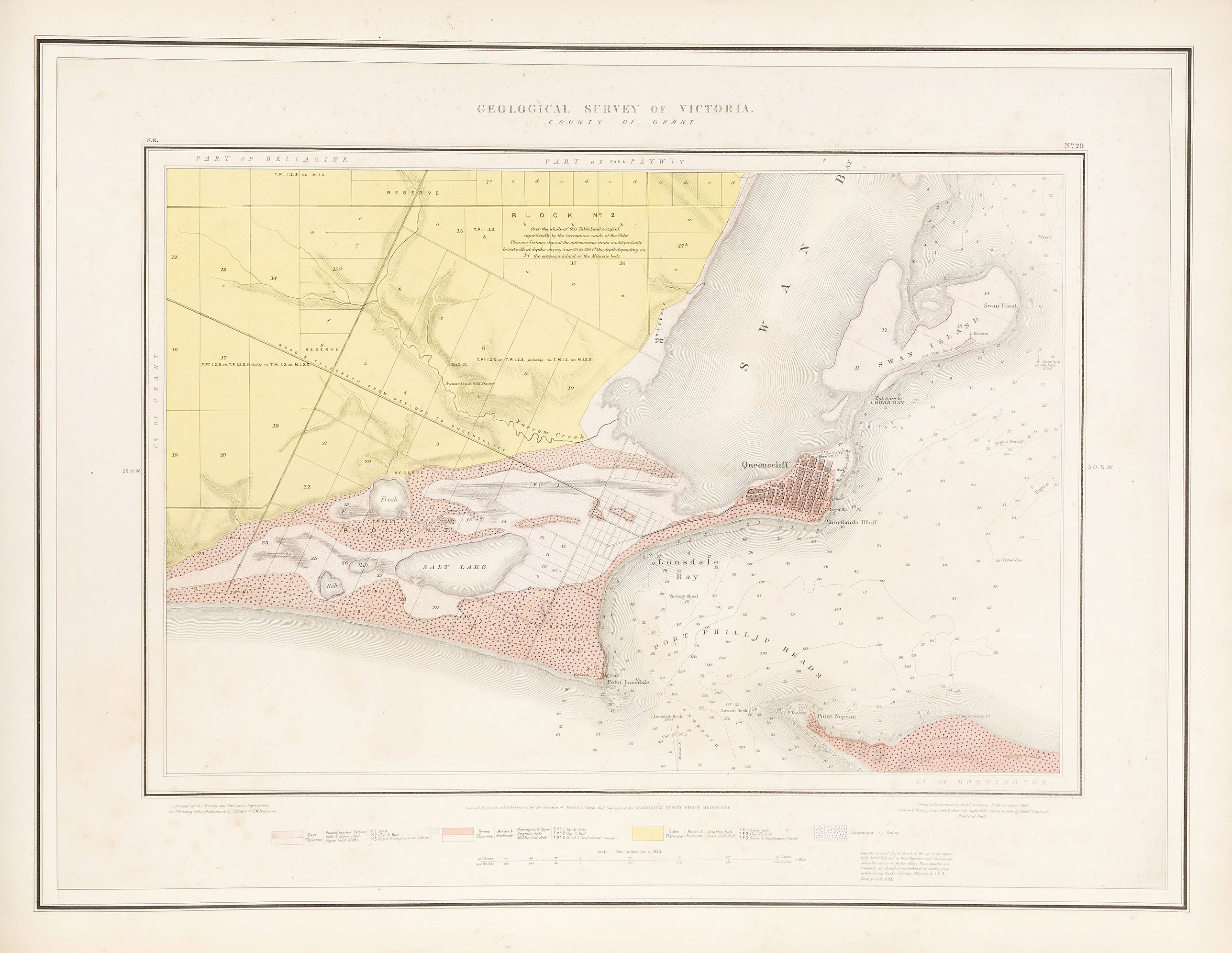
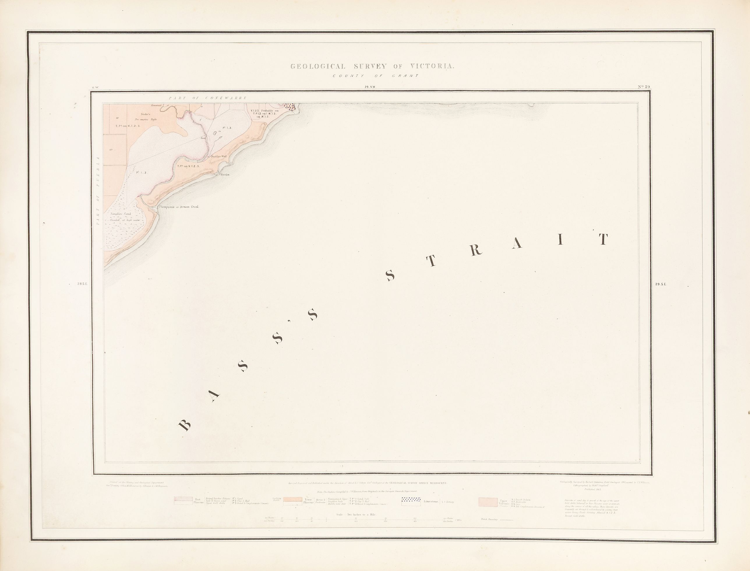
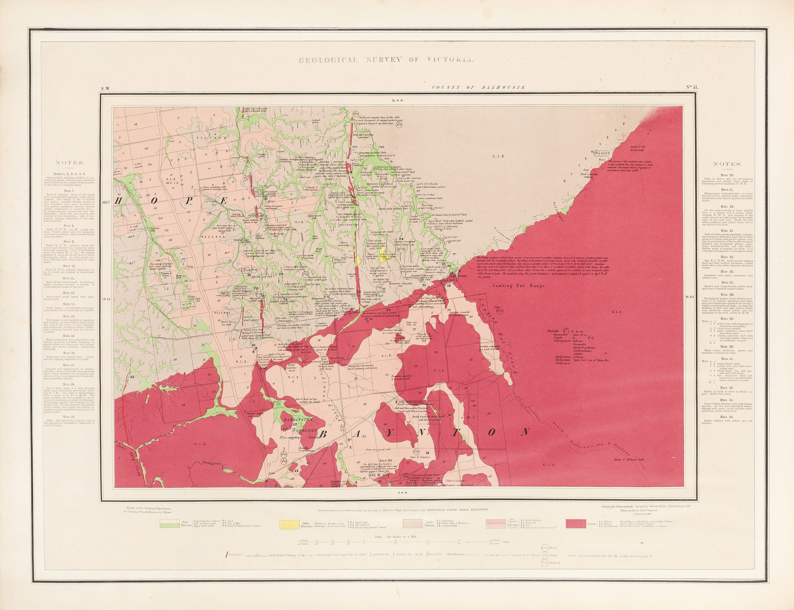
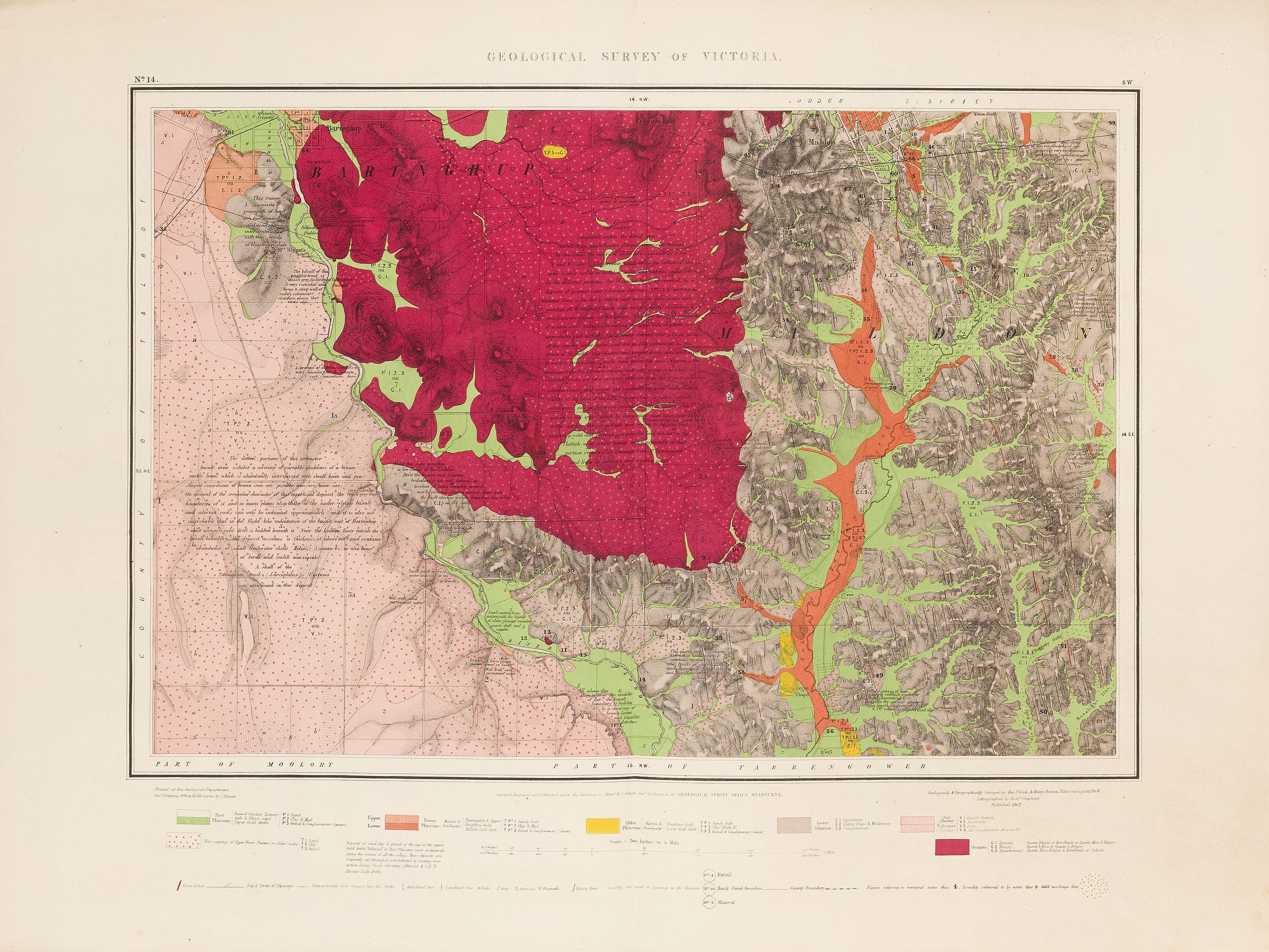
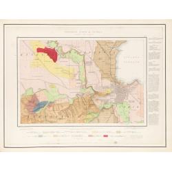
The portfolio, titled "Geological Survey of Victoria" in gold-stamped lettering, contains 51 map sheets. A pocket attached to the inside front cover contains Selwyn's Geological Map of Victoria, a large, color, folding, canvas-backed map (114 x 170 cm). The map is printed in fourteen colors, indicating various geological formations throughout the State. Mountain and river systems are clearly shown as well as railway lines and principal towns. Followed by 8 loose maps (46 x 71 cm).
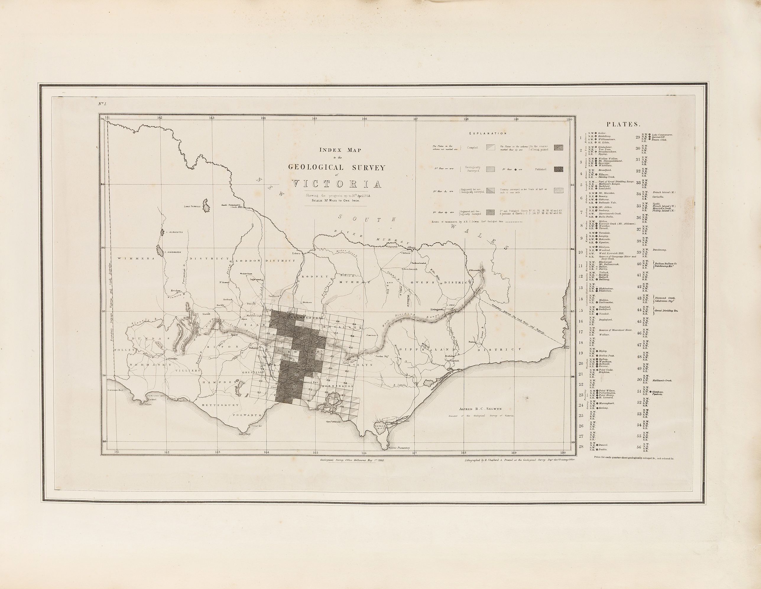
The atlas begins with an index map indicating progress up to April 30, 1864, and ends with 51 sheets.
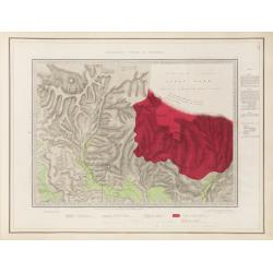
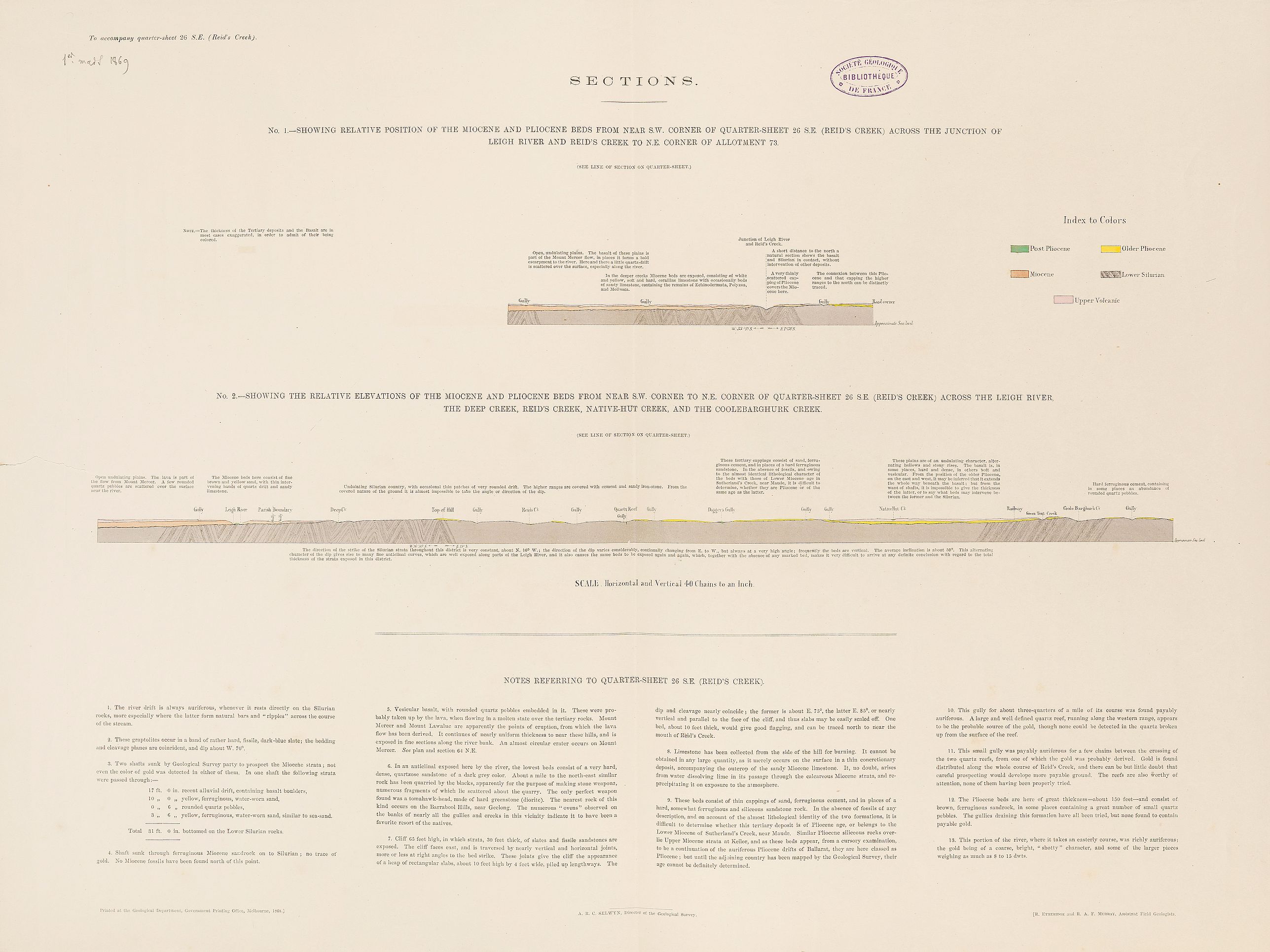
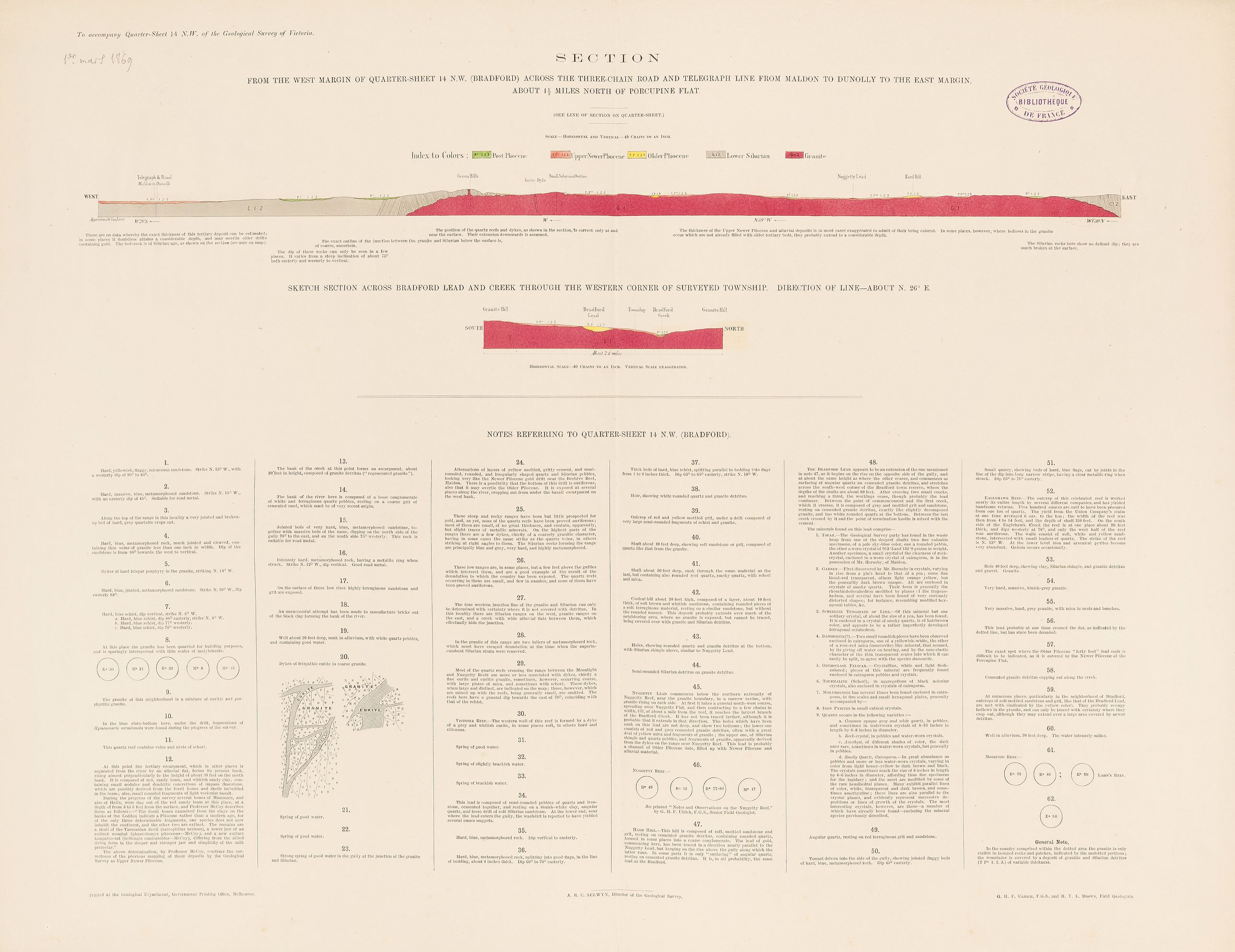
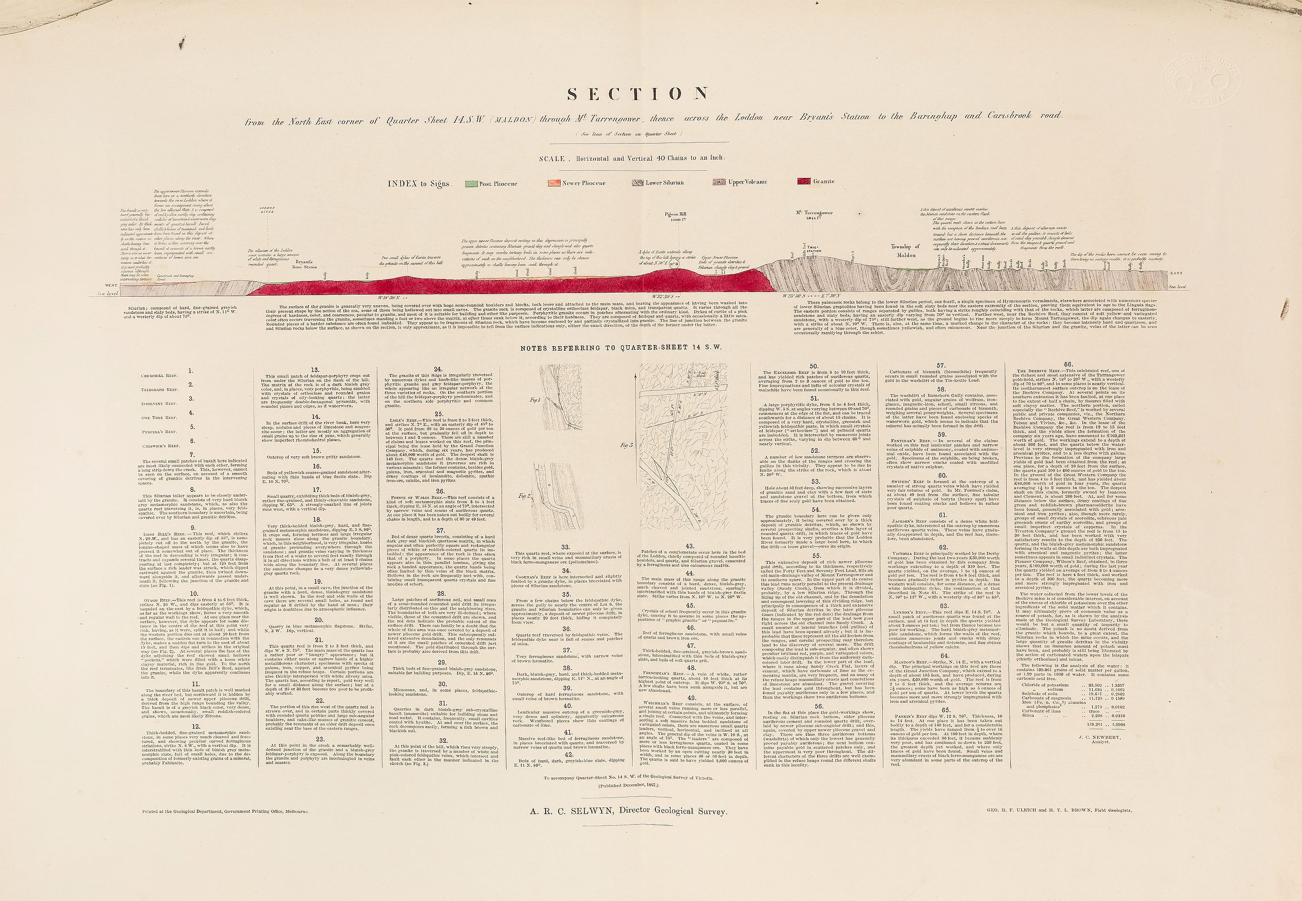
Several sheets include geological cross-sections, and all contain detailed explanations of geology and mining.
This important atlas contains all the geological maps of Victoria (Australia). This particular example was exhibited at the Paris Universal Exposition of 1867 under the title “Geological Survey of Victoria,” and afterward presented to the Geological Society of France by the director of the Corps of Geological Engineers, Mr. Alfred R. C. Selwyn, of Melbourne.
Jules Marcou, president of the Geological Society of France in 1865, wrote: "This colony, whose name did not even exist twenty years ago, and which was at first known only from a few travelers’ accounts around the world as a place of exile for convicts, under the name of Port Phillip, and which today still has fewer than 700,000 inhabitants; this antipodean country," adds Mr. Marcou, "maintains a staff of fifteen geological or mining engineers, at an annual cost of one hundred to one hundred and twenty thousand francs, with an entire establishment of museums, courses, workshops for map draftsmen, and the publication of reports, statistics, and mineral assays." [Jules Marcou].
Jules Marcou: Franco-American geologist and cartographer, president of the Geological Society of France in 1865.
Alfred Richard Cecil Selwyn (26 July 1824 – 19 October 1902) was a British geologist and public servant, director of the Geological Survey of Victoria from 1852 to 1869.
In 1852 the Colonial Office appointed Selwyn director of the Geological Survey of the recently founded colony of Victoria, where he built up an excellent staff including Richard Daintree, C. D. H. Aplin, Charles Smith Wilkinson, Reginald Murray, Edward John Dunn, Henry Yorke Lyell Brown and Robert Etheridge, Junior, with Sir Frederick McCoy as paleontologist. He was a strict disciplinarian and set a very high standard of work in his department from the beginning.
During his 17 years as director, over 60 geological maps were issued, which were among the best of their period: they were models of accuracy which established a tradition of geological mapping in Australia.
Selwyn was well qualified to analyze the Silurian strata. He also wrote several reports on the geology of Victoria and added much to knowledge of gold-bearing rocks. Selwyn discovered the Caledonian goldfield near Melbourne in 1854 and, the following year, reported on coal seams in Tasmania, until the Colonial Legislature brought the Survey to an abrupt end in 1869 on economic grounds.
More info on Selway: E.J. Dunn 'Biographical Sketch of the Founders of the Geological Survey of Victoria', Bulletin of the Geological Survey of Victoria, 23 (1910), 8 and Australian Dictionary of Biography, vol. 6, pp.102-3.
Map coloring
A solution to the problem of map colouring for the publication was proposed by Pittman, who suggested that they be colour printed by lithography.
Colour printing of geological maps was still in its infancy in Britain, the first having been printed in 1851 and the second in 1853, and was only practised in a small way in Germany, Austria and France.
The Geological Survey of Great Britain did not adopt colour printing until 1895.58 Selwyn's staff had to be innovators in this instance, since they were
isolated from the European centres of map printing.
They first proposed using outside contractors. They therefore invited local lithographic printers to tender for a special geological map of Ballarat, compiled by John Phillips independently of Selwyn, at the direction of the Surveyor General.
The successful tenderer was the firm of Fergusson and Mitchell, but the results of their work were far from satisfactory.
Selwyn then tried one of the unsuccessful tenderers, Joseph Aresti, who seems to have been the first person to color-print a geological map in Britain, printing the first edition of Robert Mylne's geological map of London in 1851.
Aresti printed two maps for Selwyn in 1858, but his attempts were not much better than that of Fergusson and Mitchell. Certainly Selwyn, a very finicky man, was far from satisfied.'
Pittman then suggested that Thomas Ham (1821-1870), an engraver and lithographer, at that time on the staff of the Lands Department's Lithographic Branch, be asked to take on the job 'in house'.
Ham was transferred to the Geological Survey in January 1859, a lithographic press was purchased, and the first color printed maps of the Melbourne and Kyneton areas were run off during that year.
The work was done on a hand press, and each sheet of paper had to go through the press once for each color. Since there were up to seven colors, it was a very time-consuming process to print 1,000 copies of each map.
By the end of 1859, Selwyn had thirty quarter sheets ready for publication, one was in press, and four had been printed but not released to the It was obvious that the arrears in printing were not to be overcome using ordinary lithographic printing techniques. Pittman and Ham investigated the possibility of using a power press in the middle of 1859 and, through Ham's family connections, purchased a steam-powered press in March 1860. The Geological Survey Lithographic Branch was moved and set up in the basement of the Government Printing Office, and the power press was connected to the Government Printer's steam engine. This new method of color printing was so quick and cheap that it soon overcame arrears in map work and reduced the sale price of maps. Applying steam power to color printing was a major innovation in Australia. Indeed, Melbourne commercial lithographic printers did not adopt this system for another six or seven years.
Gold
Shortly after the discovery of gold in this State, Governor La Trobe, recognizing the importance of the deposits and with an eye on the revenue to be derived from mining on Crown lands, asked the Home Government to select an officer with geological attainments for appointment as mineral surveyor. In May, 1852. Mr. Alfred Selwyn was appointed to the position and commenced duty in December of that year. With one assistant, Selwyn surveyed the gold fields, coal fields, and general geological structure of the State until 1855, when he was provided with two extra assistants. In 1857, the staff rose to six. and by 1860 had reached a total of twelve.
Considerable difficulty was caused in the early operations by the absence of surveys on which to base the work, and Selwyn, writing in December 1856, stated: " From the commencement I have endeavoured to conduct the survey so far as the limited means at my disposal and the great difficulty of obtaining correct topographical maps and efficient assistance would allow, on exactly the same plan as that adopted by the English Geological Survey."
Owing to the lack of topographical maps the survey was compelled to prepare topographical as well as geological plans.
Early in 1858 the printing of geological maps from engraved copper plates was commenced; for a time the sheets were hand-coloured, but later were printed and coloured by lithography.
Provenance : Geological Society of France (1865-2026)
This particular example was exhibited at the Paris Universal Exposition of 1867 and afterward presented to the Geological Society of France by Alfred R. C. Selwyn.
The Paris Exposition Universelle of 1867 was, according to historian Volker Barth, “the most consistent attempt ever made to literally create a world exhibition” (Barth 23). The second World’s Fair of the French Second Empire brought together approximately 50,000 exhibitors from 32 countries and attracted an estimated 11 million visitors over eight months. It attempted to cover everything everywhere: Europe, the Americas, Africa, and Asia competed in every field of endeavor, from industry to fine art, as well as social organizations and cultural heritage.
Interesting reading : The Geological Survey of Victoria under Alfred Selwyn, 1852-1868 by Thomas A. Darragh.
FAQ - Guarantee - Shipping
This item is available for immediate purchase when a "Add to Cart" or "Inquire Now" button is shown.
Items are sold in the EU margin scheme
Payments are accepted in Euros or US Dollars.
Authenticity Guarantee
 We provide professional descriptions, condition report (based on 45 years experience in the map business)
Paulus Swaen warrants the authenticity of our items and a certificate of authenticity is provided for each acquired lot.
Condition and Coloring
We indicate the condition of each item and use our unnique HiBCoR grading system in which four key items determine a map's value: Historical Importance, Beauty, Condition/Coloring and Rarity.
Color Key
We offer many maps in their original black and white condition. We do not systematically color-up maps to make them more sellable to the general public or buyer.
Copper engraved or wood block maps are always hand colored. Maps were initially colored for aesthetic reasons and to improve readability. Nowadays, it is becoming a challenge to find maps in their original colors and are therefor more valuable.
We use the following color keys in our catalog:
Original colors; mean that the colors have been applied around the time the map was issued.
Original o/l colors; means the map has only the borders colored at the time of publication.
Colored; If the colors are applied recently or at the end of the 20th century.
Read more about coloring of maps [+]
Shipping fee
A flat shipping fee of $ 30 is added to each shipment by DHL within Europe and North America. This covers : International Priority shipping, Packing and Insurance (up to the invoice amount).
Shipments to Asia are $ 40 and rest of the world $50
We charge only one shipping fee when you have been successful on multiple items or when you want to combine gallery and auction purchases.
Read more about invoicing and shipping
FAQ
Please have a look for more information about buying in the BuyNow gallery
Many answers are likely to find in the general help section.
MyCollection+

With My Collection+ you can collect all your favorite items in one place. It is free, and anyone can create his or her virtual collection.
Unless you are logged in, the item is only saved for this session. You have to be registed and logged-in if you want to save this item permanently to My Collection+. Read More[+]
Register here, it is free and you do not need a credit card.
Add this item to My Collection+ or click the following link to see My Collection+.
|
Digital Image Download Paulus Swaen maintains an archive of most of our high-resolution rare maps, prints, posters and medieval manuscript scans. We make them freely available for download and study. Read more about free image download |
Click the image for a free small image download. |
YOUR RIGHT TO CANCEL THE PURCHASE OF A LOT
In accordance with the EU Consumer Rights Directive and habitually reside in the European Union you have the right to cancel the contract for the purchase of a lot, without giving any reason.
The cancellation period will expire 14 calendar days from the day after the date on which you or a third party (other than the carrier and indicated by you) acquires, physical possession of the lot. To exercise the right to cancel you must inform Paulus Swaen Inc, of your decision to cancel this contract by a clear statement (e.g. a letter sent by post, or e-mail.
To meet the cancellation deadline, it is sufficient for you to send your communication concerning your exercise of the right to cancel before the cancellation period has expired.
Recently Viewed
Geological Survey of Victoria.
1864 GSV / SELWYN, A. R. C. - Geological Survey of Victoria.
Date: Mining and Geological Department, Melbourne, ca. 1864
