-800x800.jpg)

-250x250.jpg)


A unique composite atlas with updated Porro maps. |
||||||||||||||||||||
|
||||||||||||||||||||
|
|
||||||||||||||||||||
$35000 / ≈ €30759This item is available for immediate sale! Questions before Buying ?
We are happy to answer your questions. |
My Collection +
Add this or any of your favorite items in one place. If you want to save the items permanently, you have to sign in or create an account first. |
|||||||||||||||||||
Description
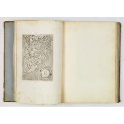
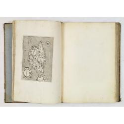
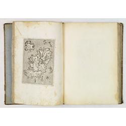
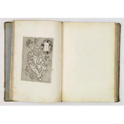
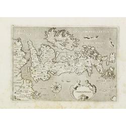
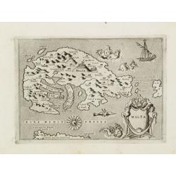
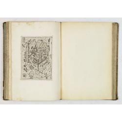
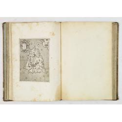
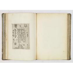
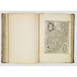
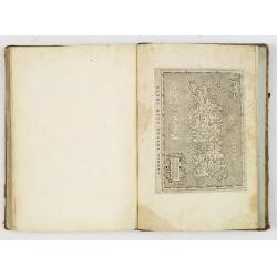
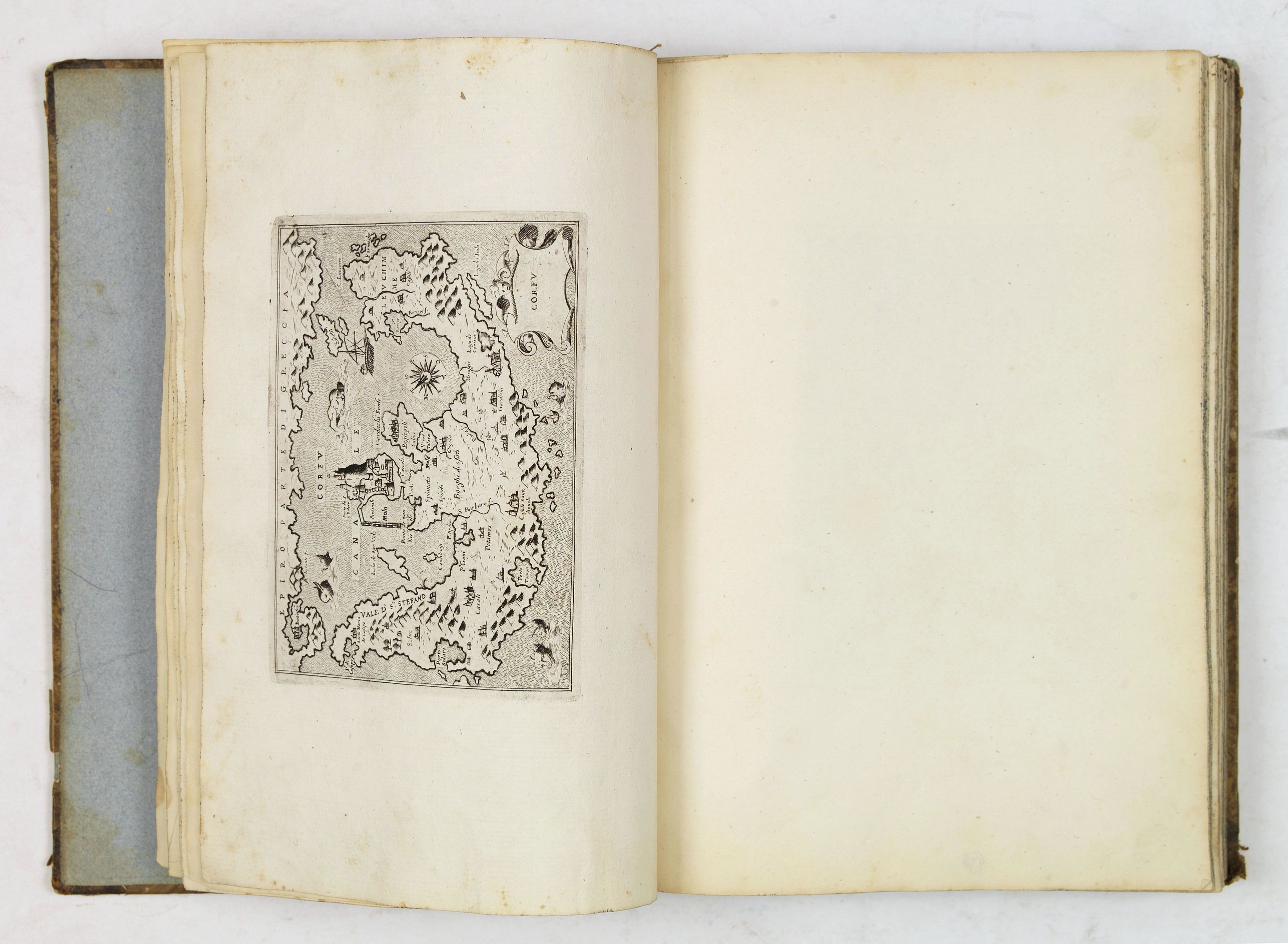
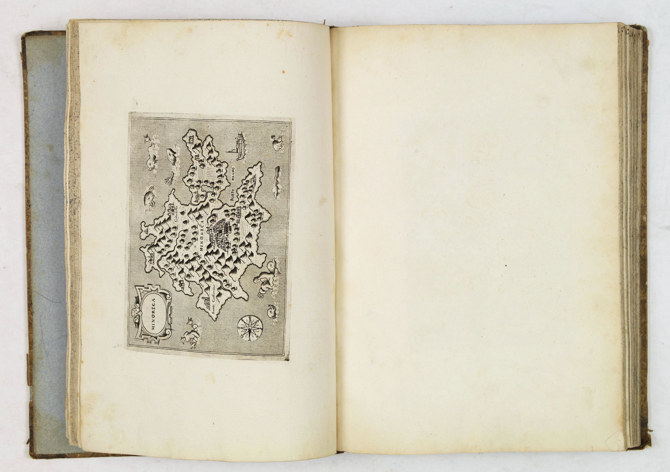
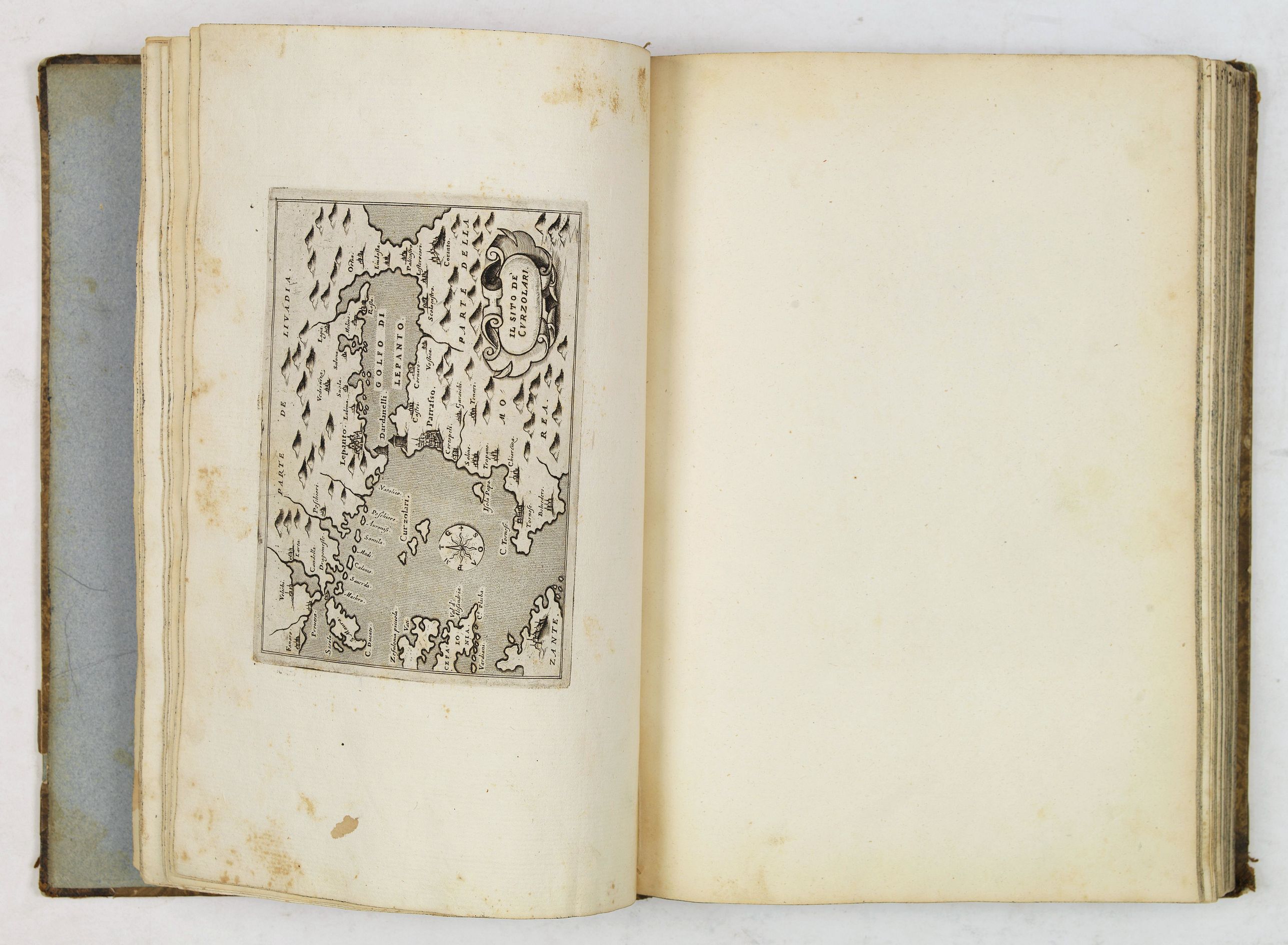
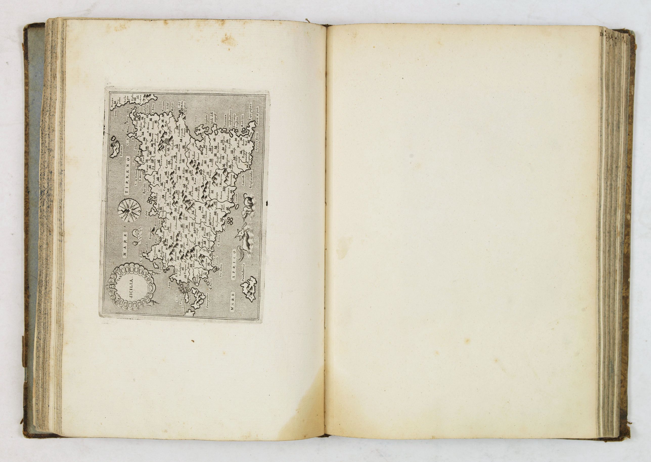
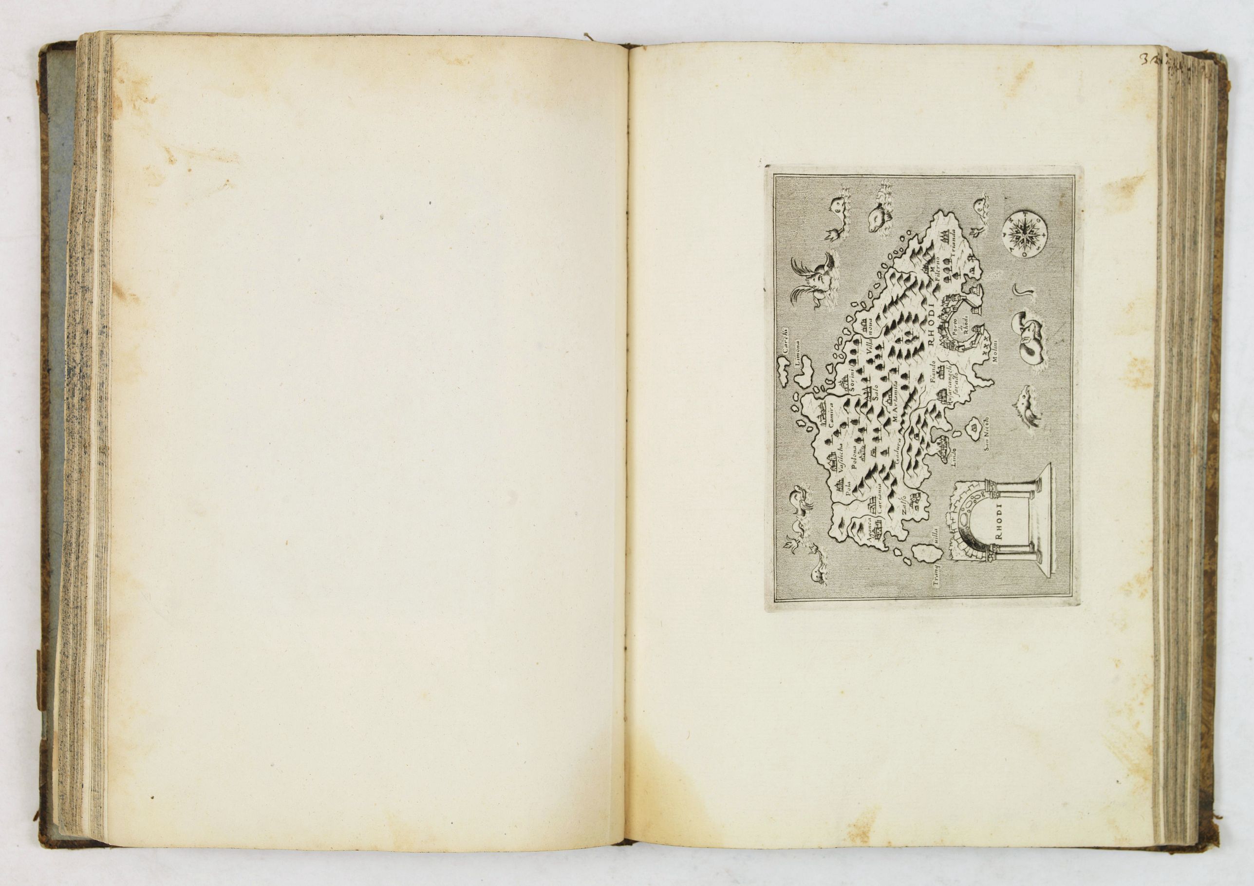
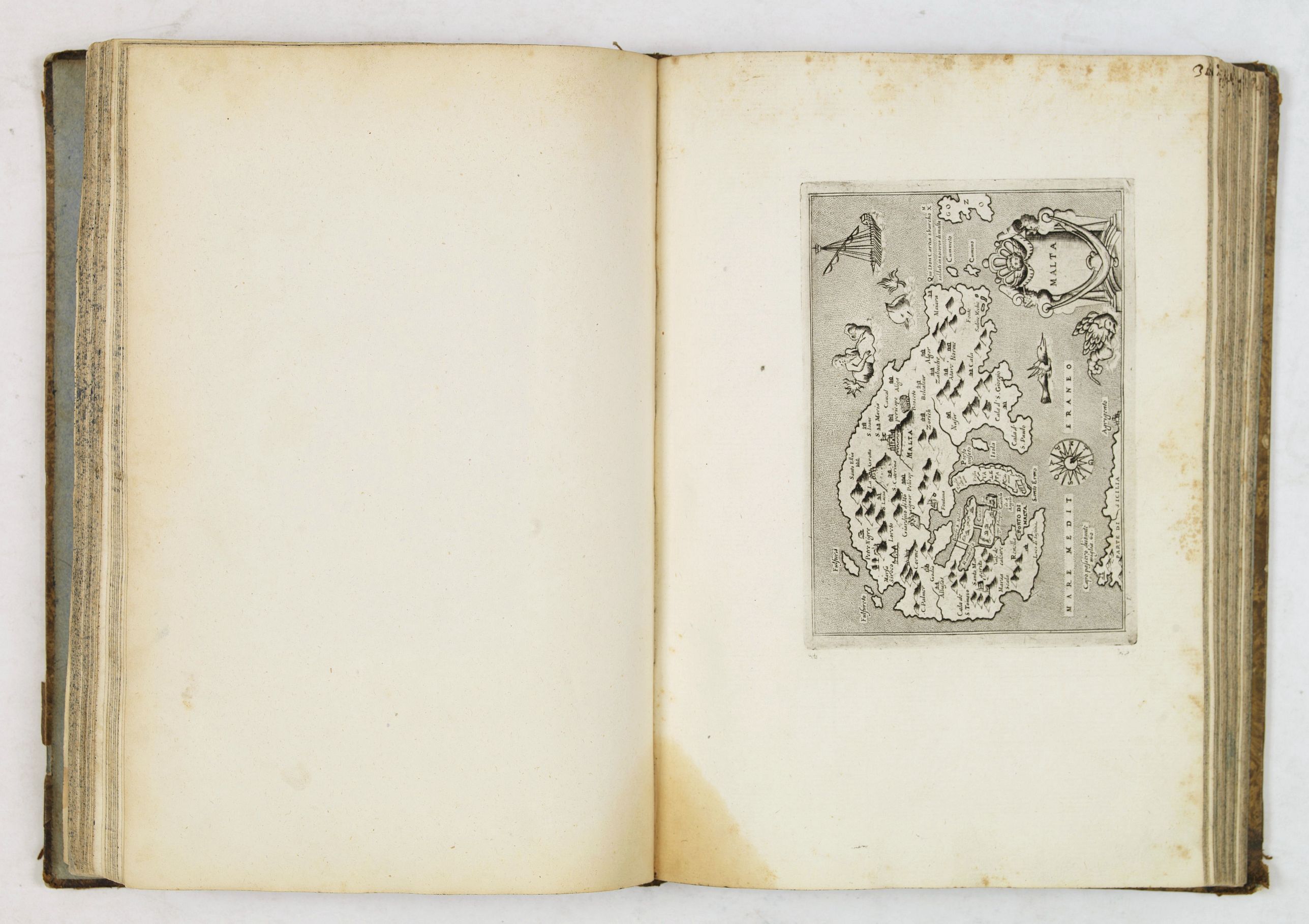
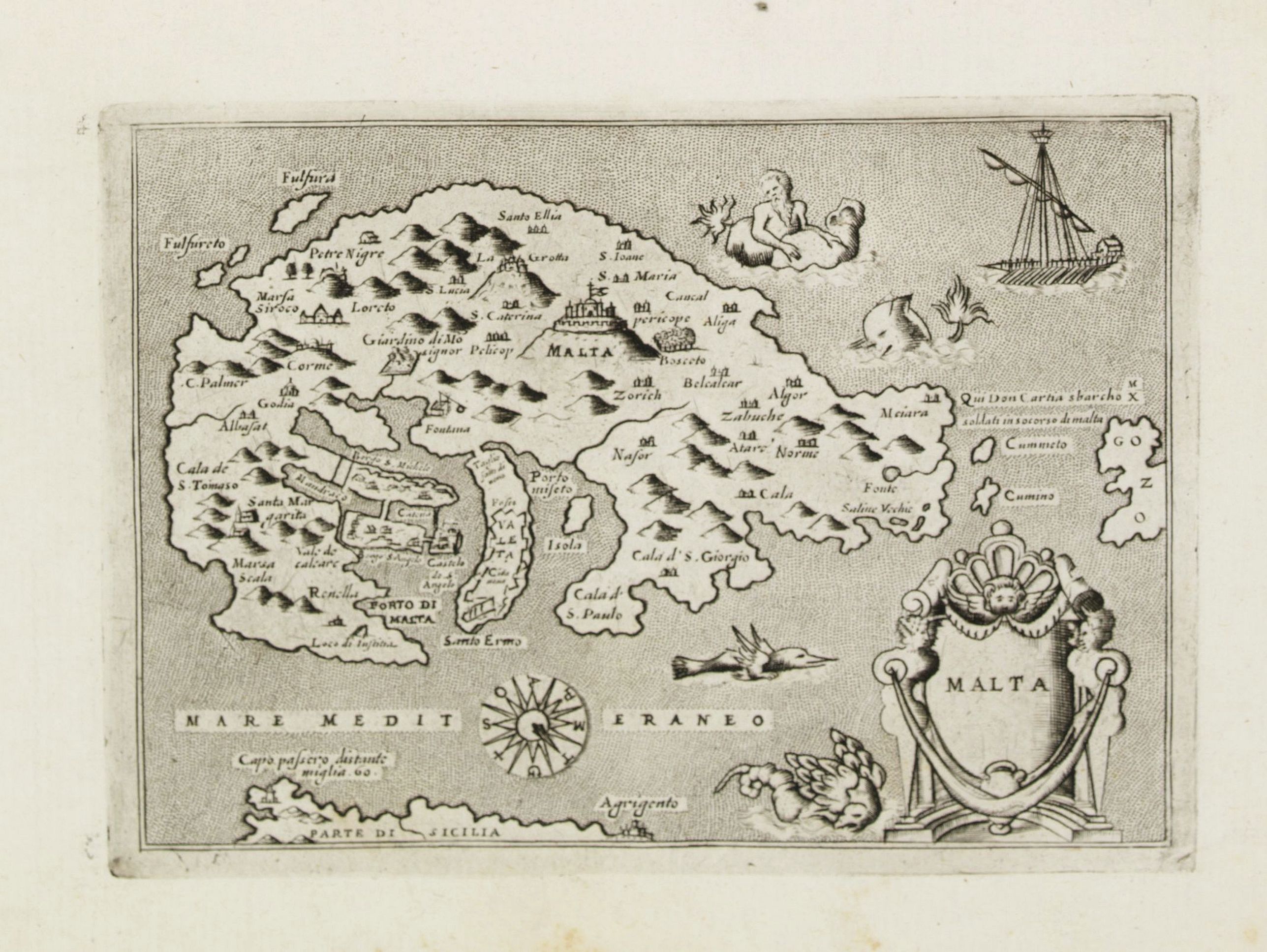
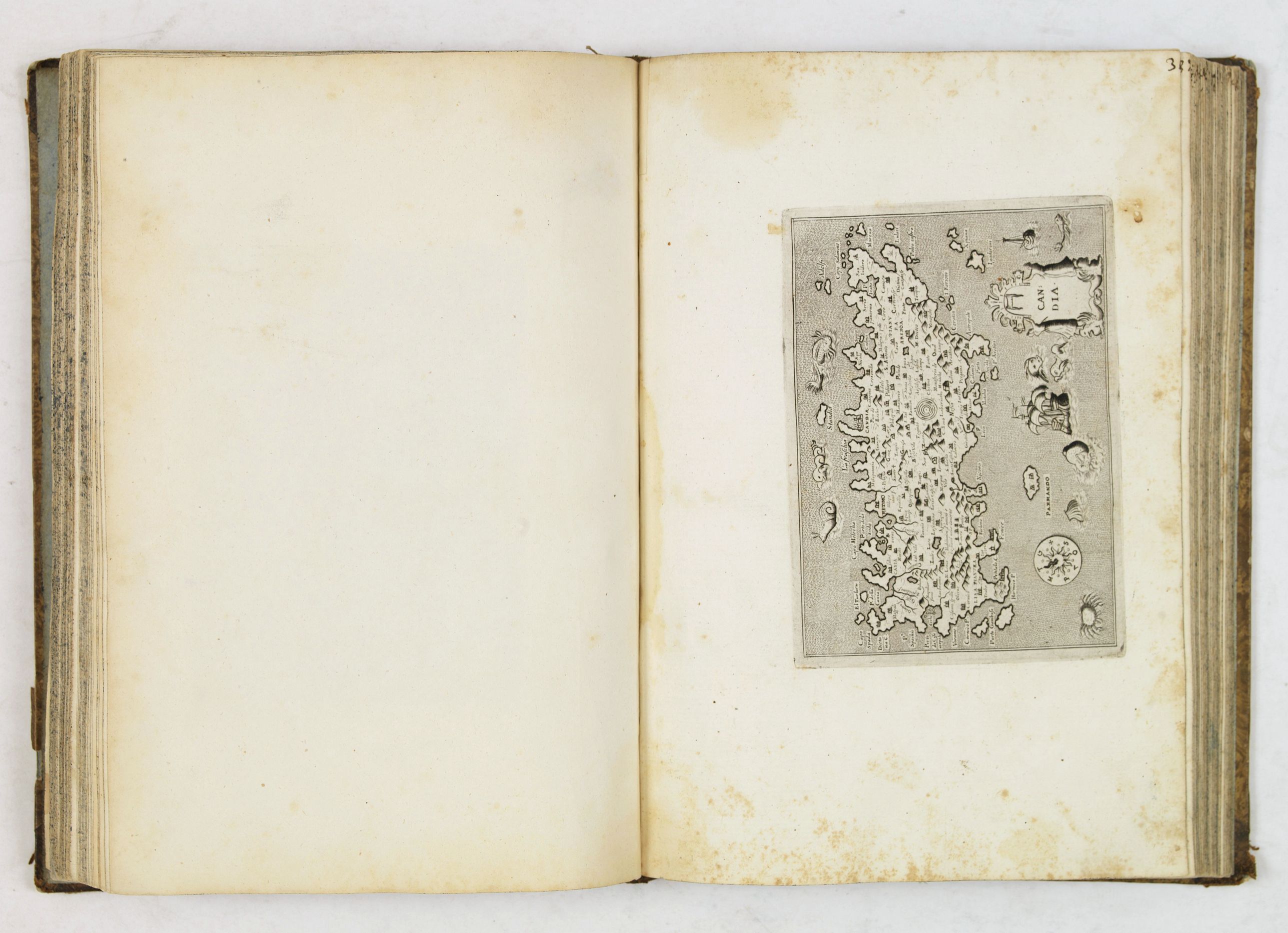
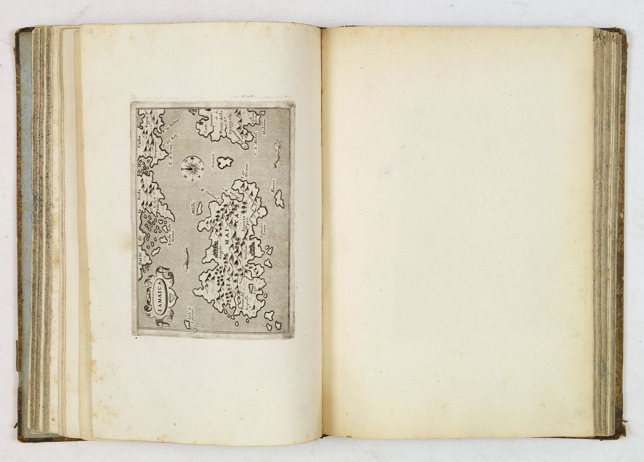
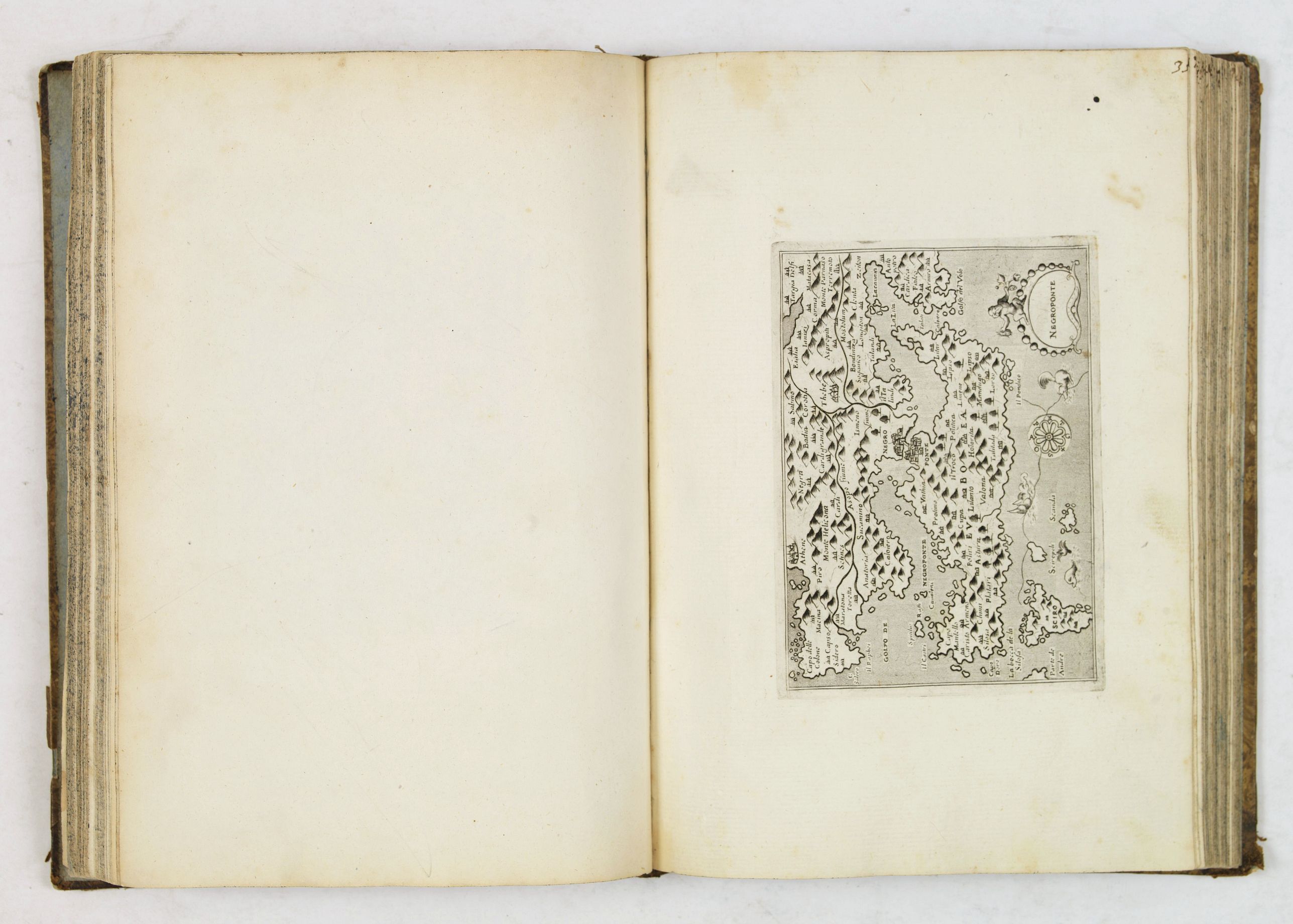
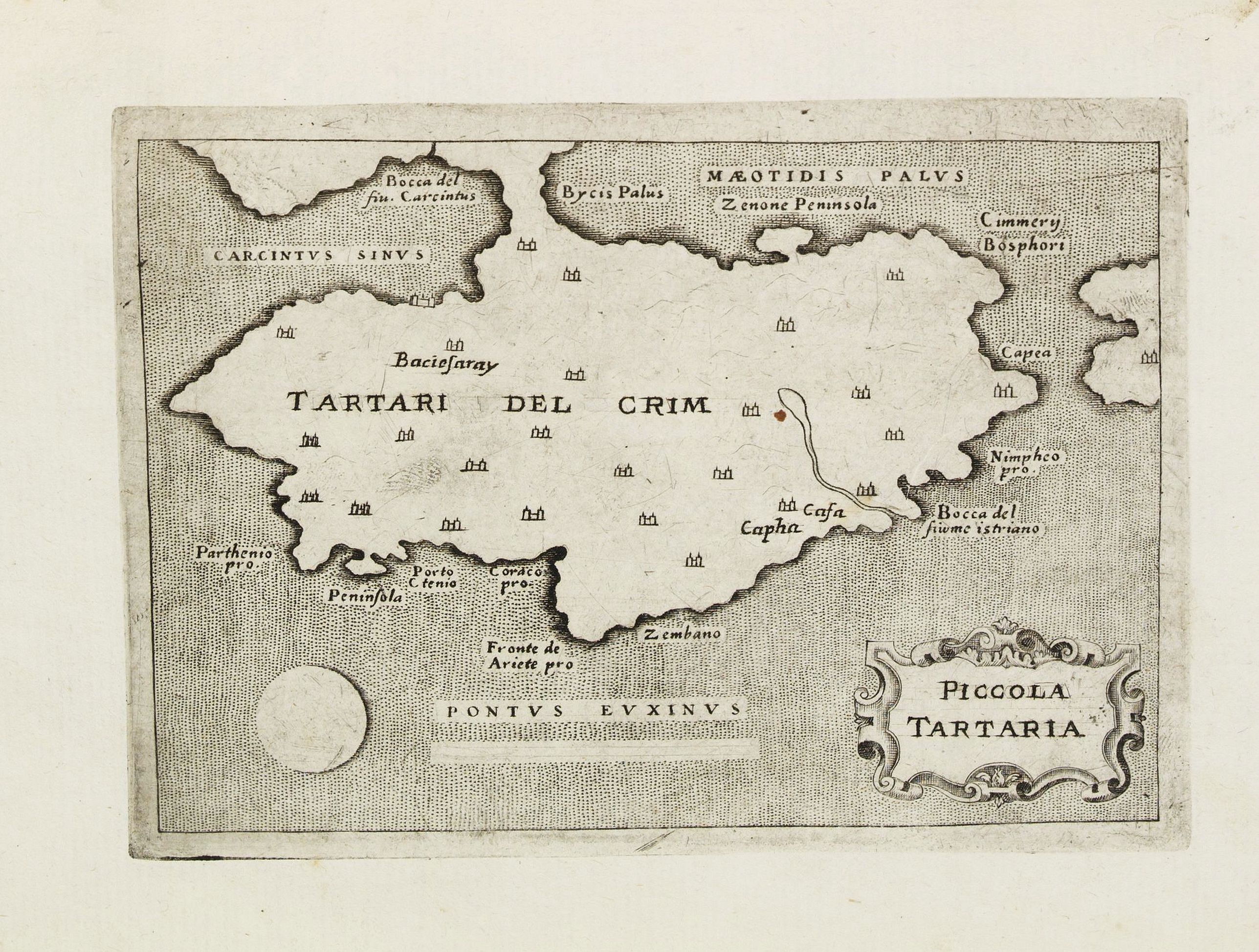
Unique composite atlas containing in total 84 maps - 82 maps engraved by Girolamo Porro and heavenly reworked around 1686 and 2 newly engraved maps; Piccola Tartaria (Crimea, Ukraine) and Danimarca (Denmark). As the first plate in this book is a birds-eye view of Venice we may conclude that the publisher or buyer was from Venice.
Read more about this atlas
The publisher could have been Pietro Antonio Brigonci. The atlas has no title page and has been published without the descriptive text of the Geographia of Ptolemy and Porcacchi's Isole piu famose del Mondo that usually accompanies these works. The atlas is most likely edited by Pietro Antonio Brigonci who updated the L'Isole plates in 1686. At the same time he could also have acquired the Geographia plates and updated them as well.
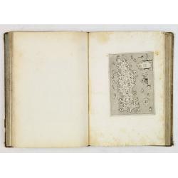
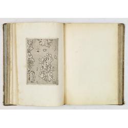
The paper of both series is the same and the maps are numbered in brown ink from 1- 84 in a contemporary hand. The atlas has been rebound in the 1800's and blank pages have been inter-leaved. Few of the manuscript map numbering have been shaved. Book block 275x190mm. All maps are dark impressions and have some usual light marginal spotting. In general very good.
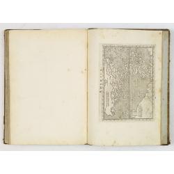
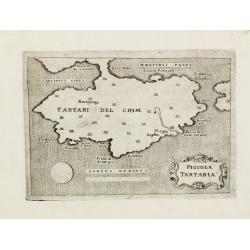
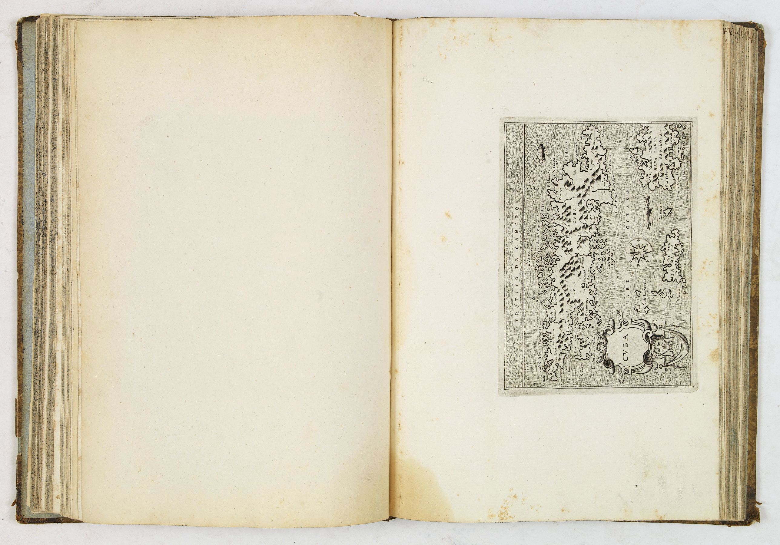
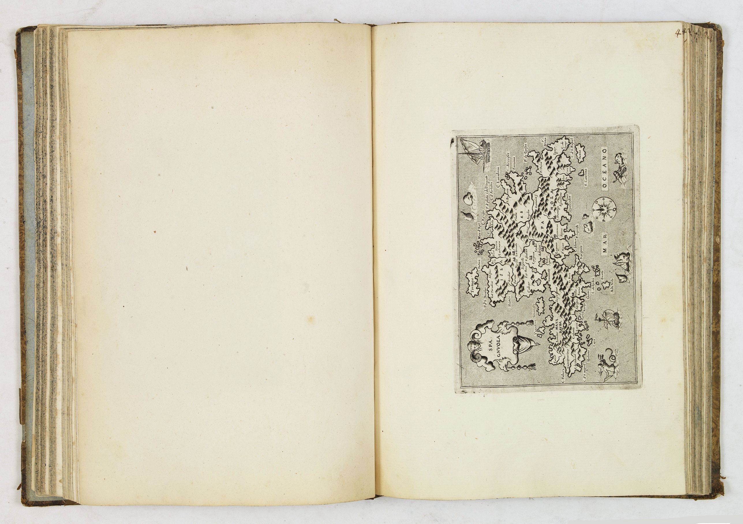
The atlas contains two newly engraved maps; Piccola Tartaria (Crimea, Ukraine) and Danimarca (Denmark).
Part one:
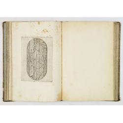
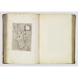
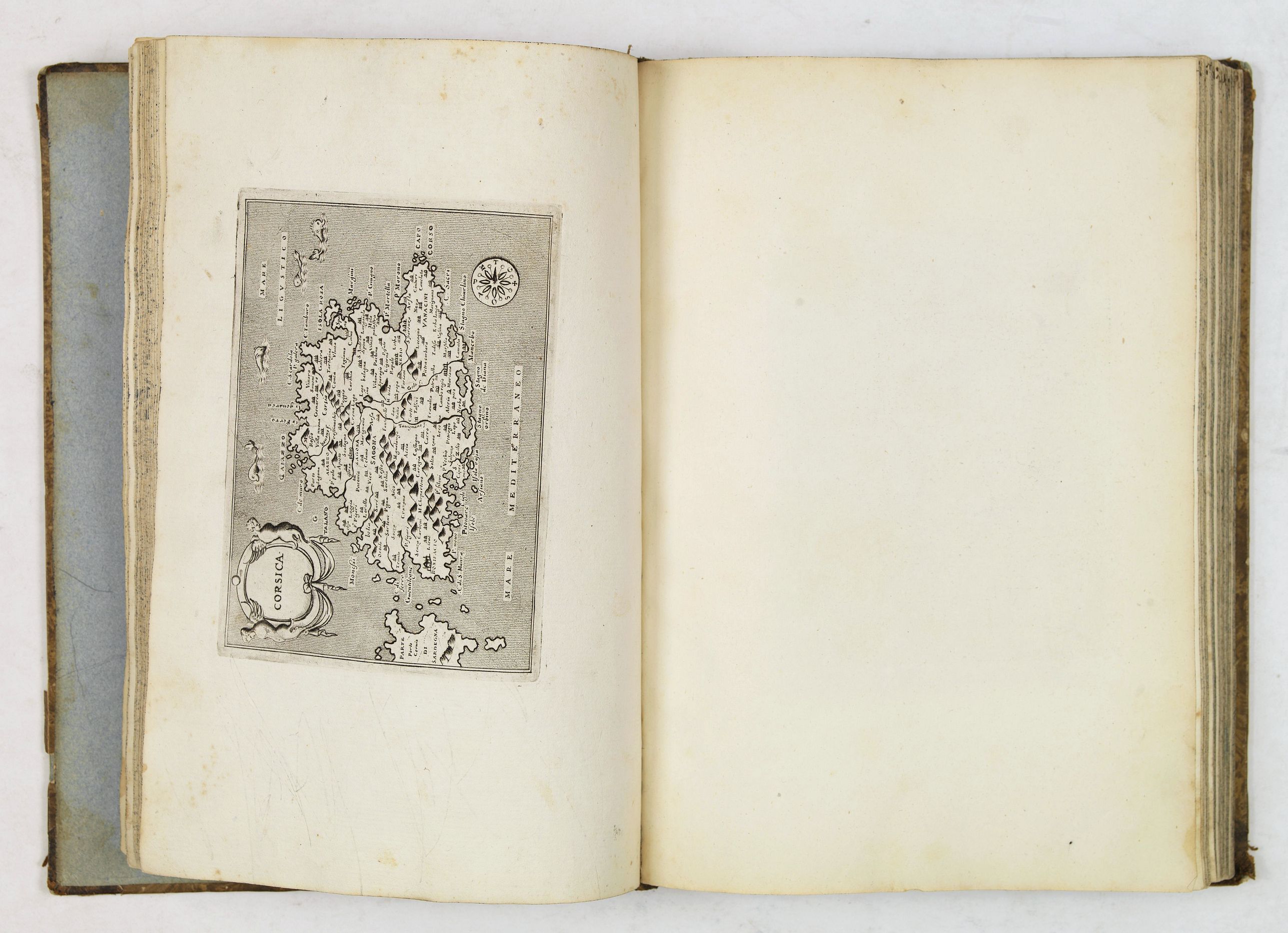
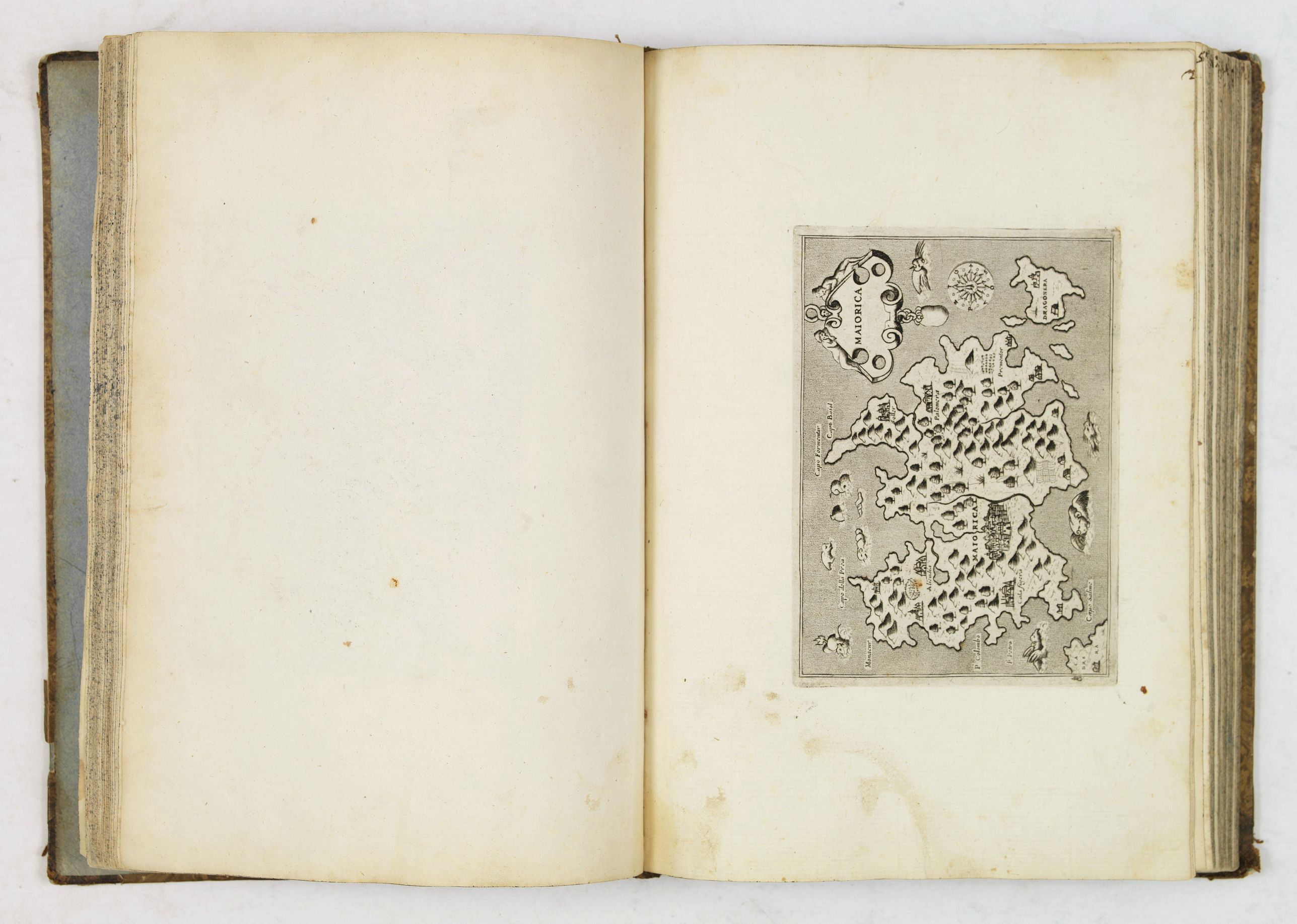
The book opens with a bird's-eye view of Venice and contains 47 maps, actually 30 for the first edition of 1572, adding 15 from the final version of 1576.
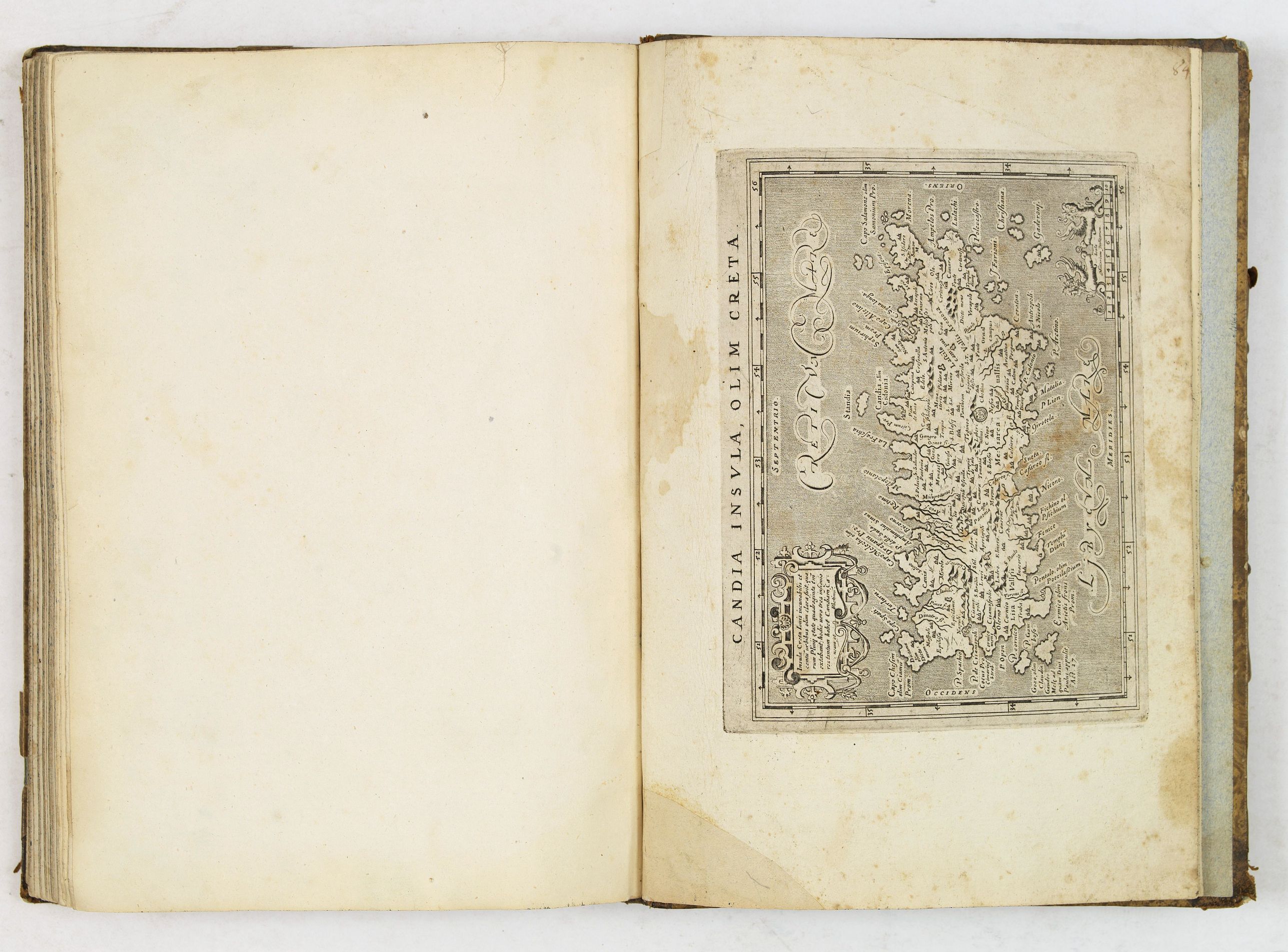
Compared to Thomas Porcacchi maps from "L'isole piu famose del mondo descritte da Thoniaso Porcacchi da Castiglione arretino e intagliate da Girolamo Porro padouano con l'aggiunta di molte isole" in this collection the map San Lorenzo (Madagascar) and the two maps added for the first time in the 1590 edition Descrittione dell’Isola d’Elandia, isola de Gotti and Descrittione dell’Istria are not present.
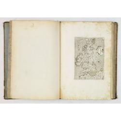
Importantly, two maps Piccola Tartaria (Crimea, Ukraine) and Danimarca (Denmark) are added.
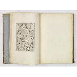
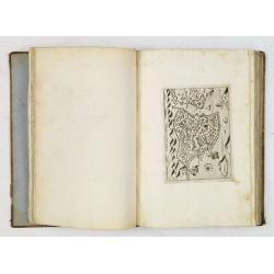
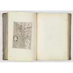
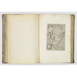
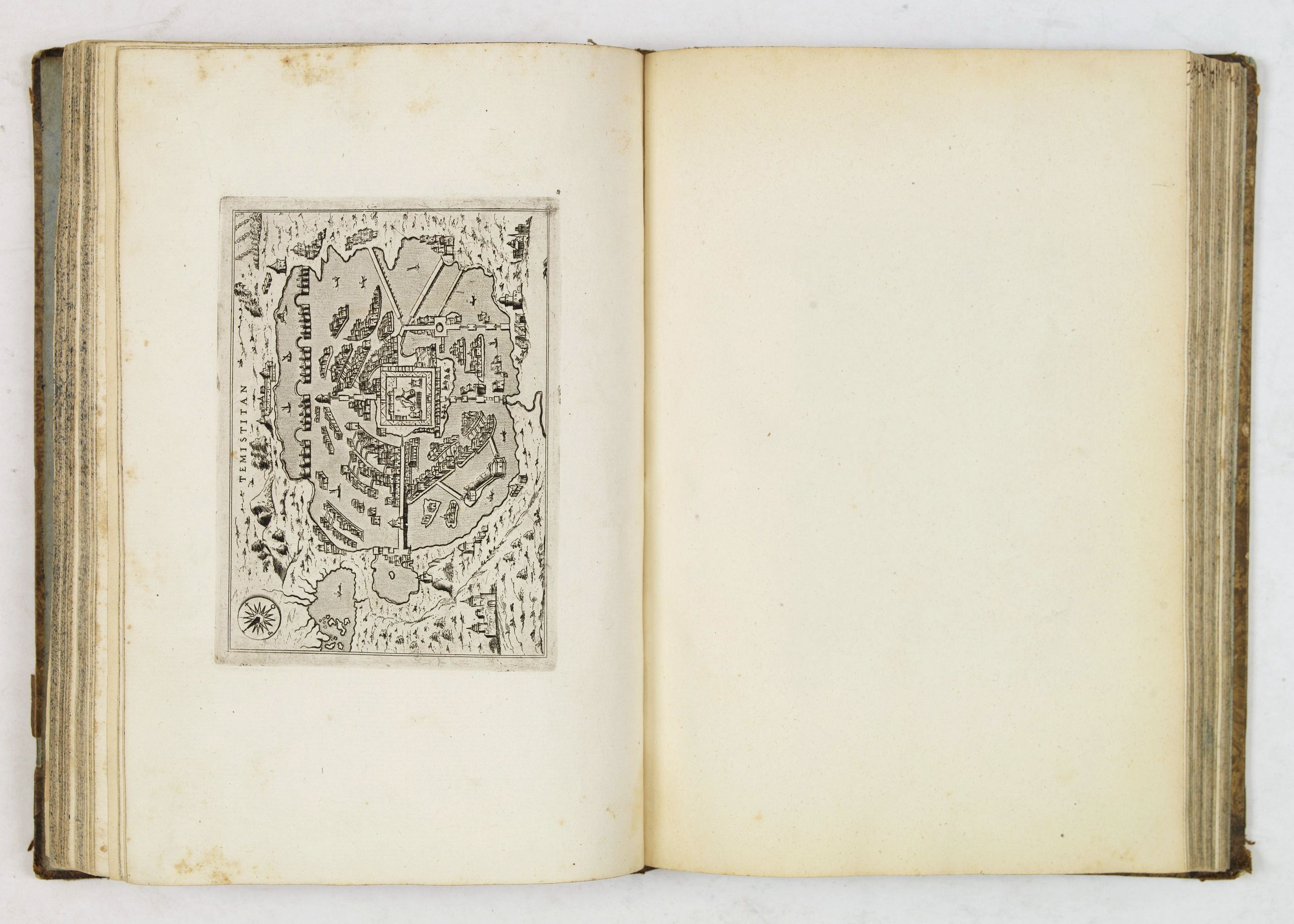
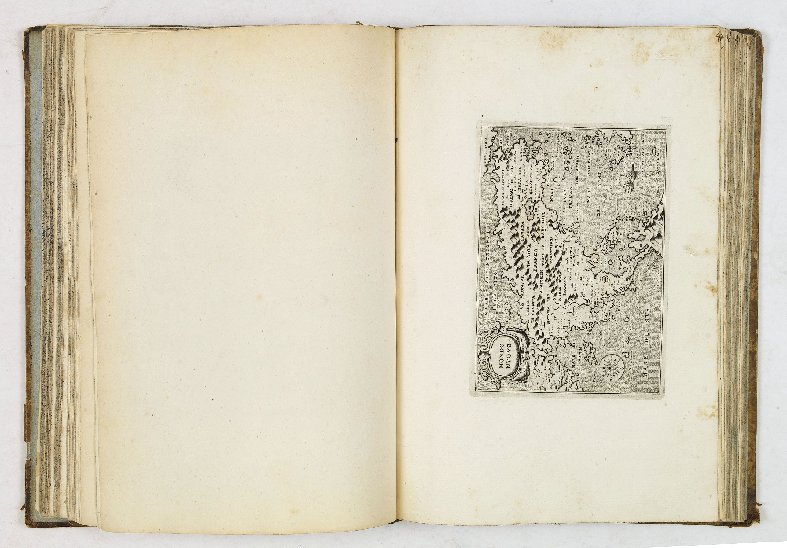
The New World is represented by "Temistitan" (Mexico City), "Mondo Nuouo," a reduced version of Forlani's very important map of North America first published in Venice in 1565, which was the first to show America as a single geographic entity, and is the second map to show the Strait of Anian in any detail. The interior of the southwestern portion of the continent and the general outline of the west coast of North America reflect discoveries from Coronado’s expedition of 1540–1542 and Cabrillo’s voyage of 1542–1544 up the west coast perhaps as far as Pont Arena, which he named Cabo de Fortunas.2 Note that Baja California is accurately displayed as a peninsula and existence of a northwest passage is clearly delineated. (Burden 42, second state)
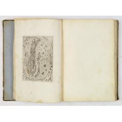
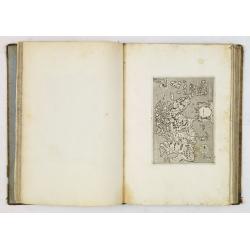
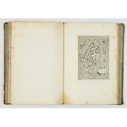
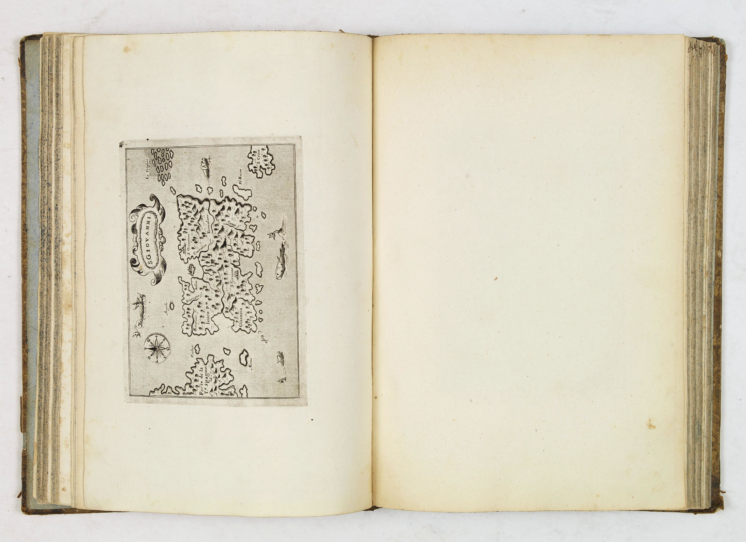
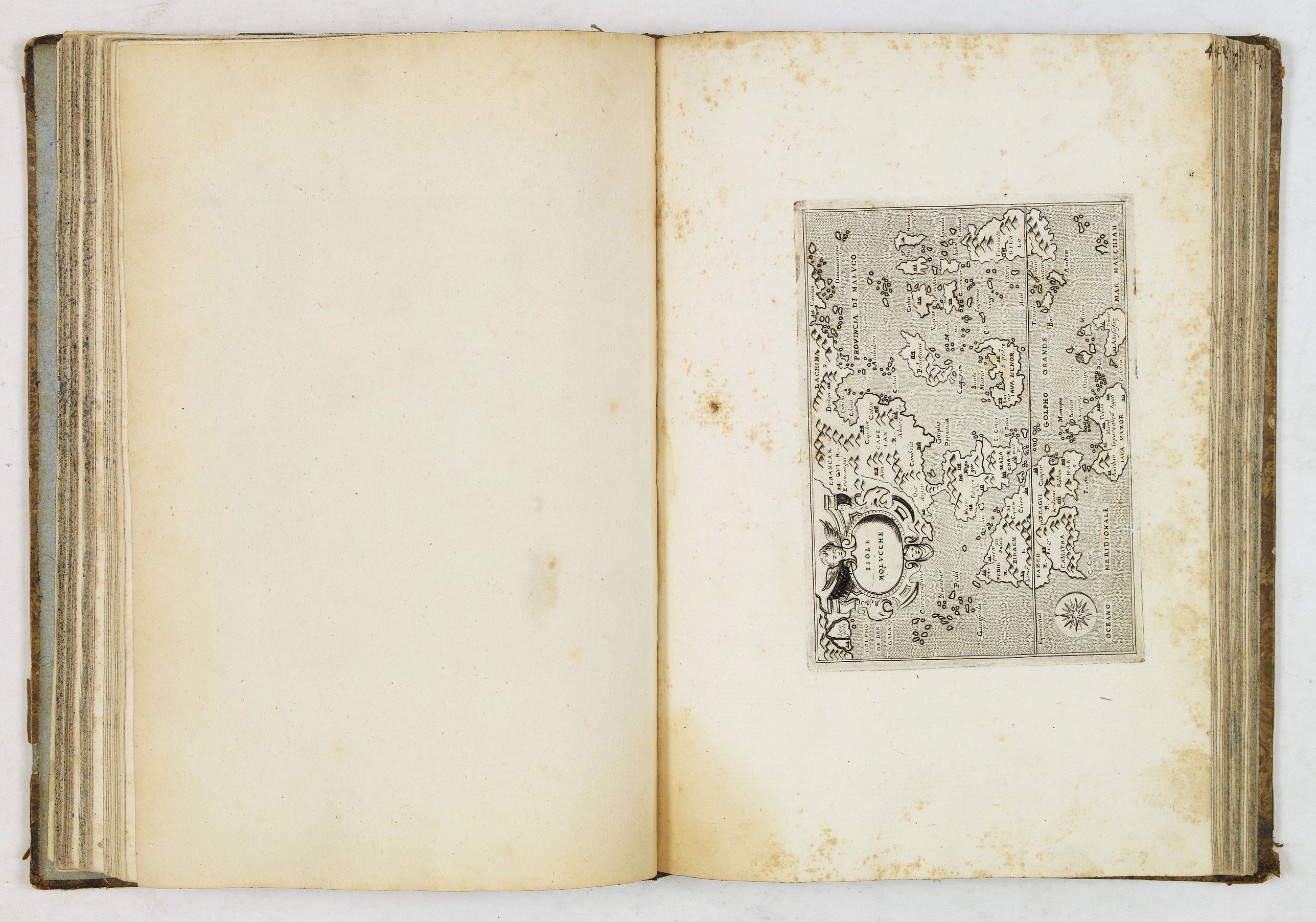
There are maps of the American islands of "Spagnvola", "Cvba", "Iamaica", "S. Lorenzo", and "S. Giovanni" with five maps. The islands of the Pacific are depicted in "Isole Molucche". Including two world maps.
Part two:
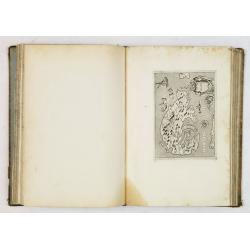
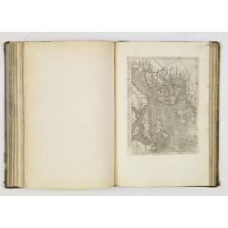
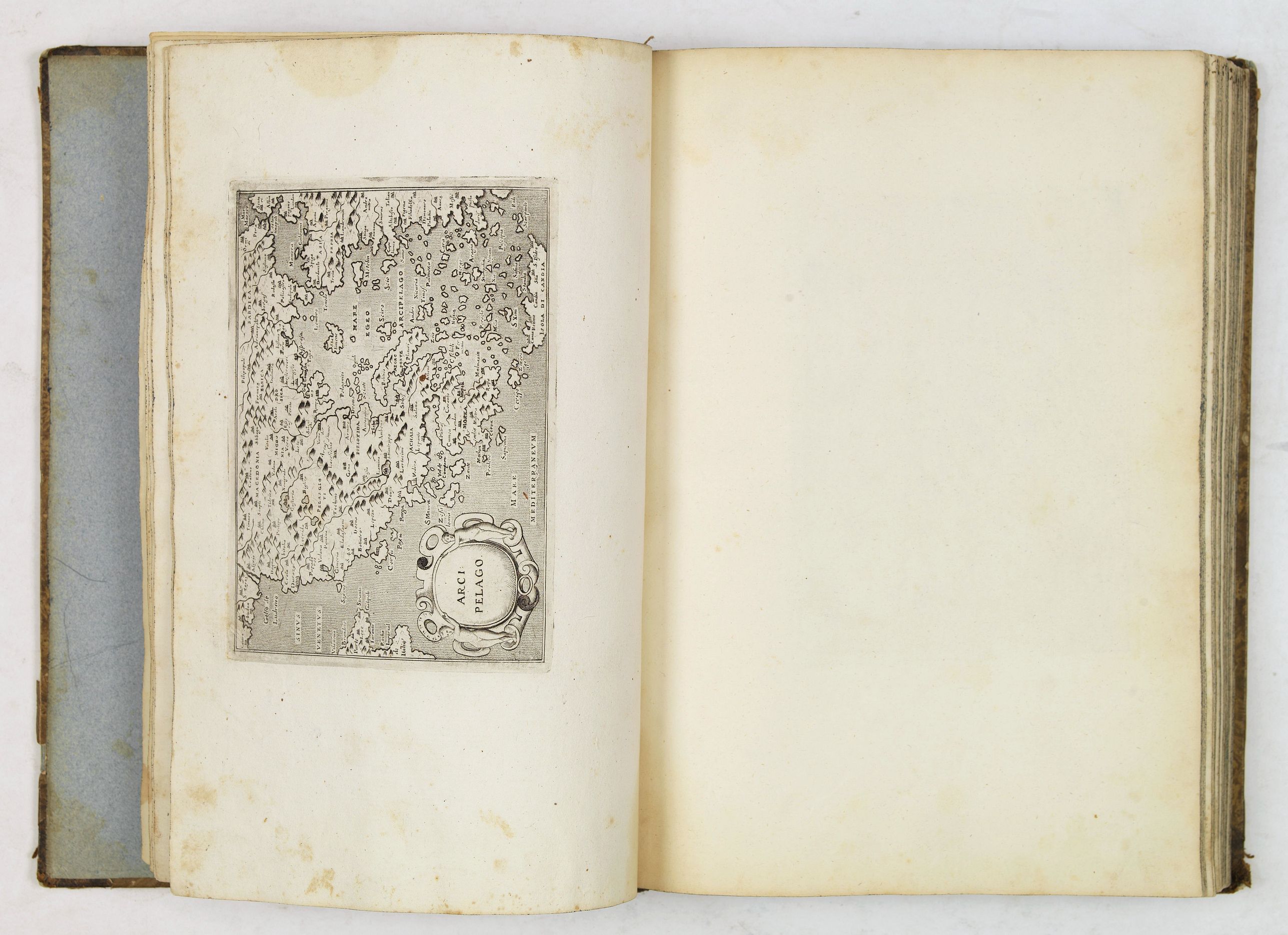
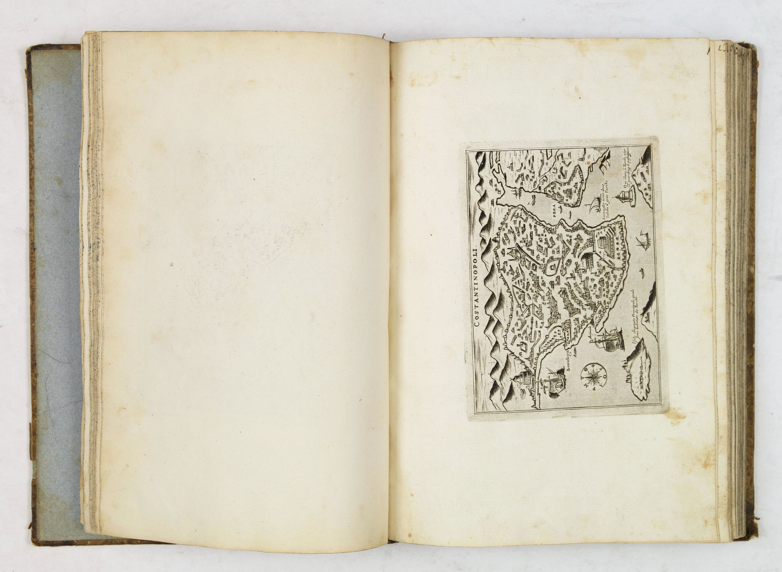
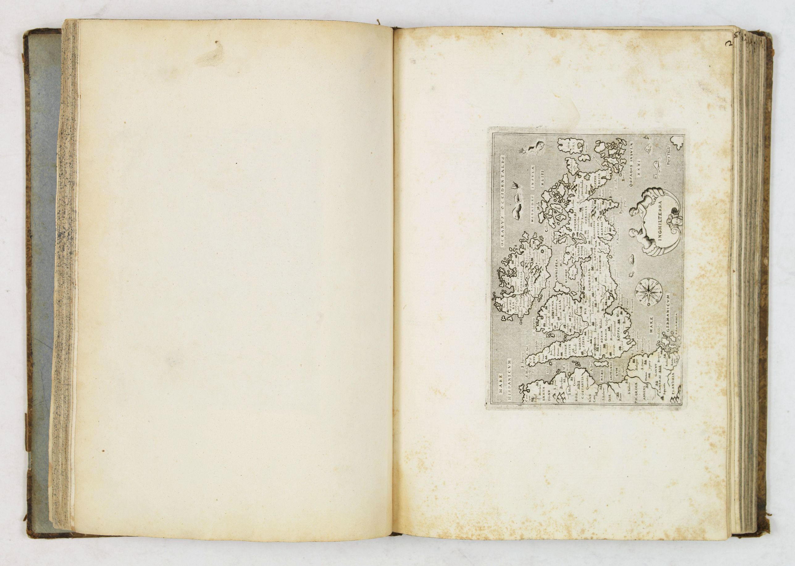
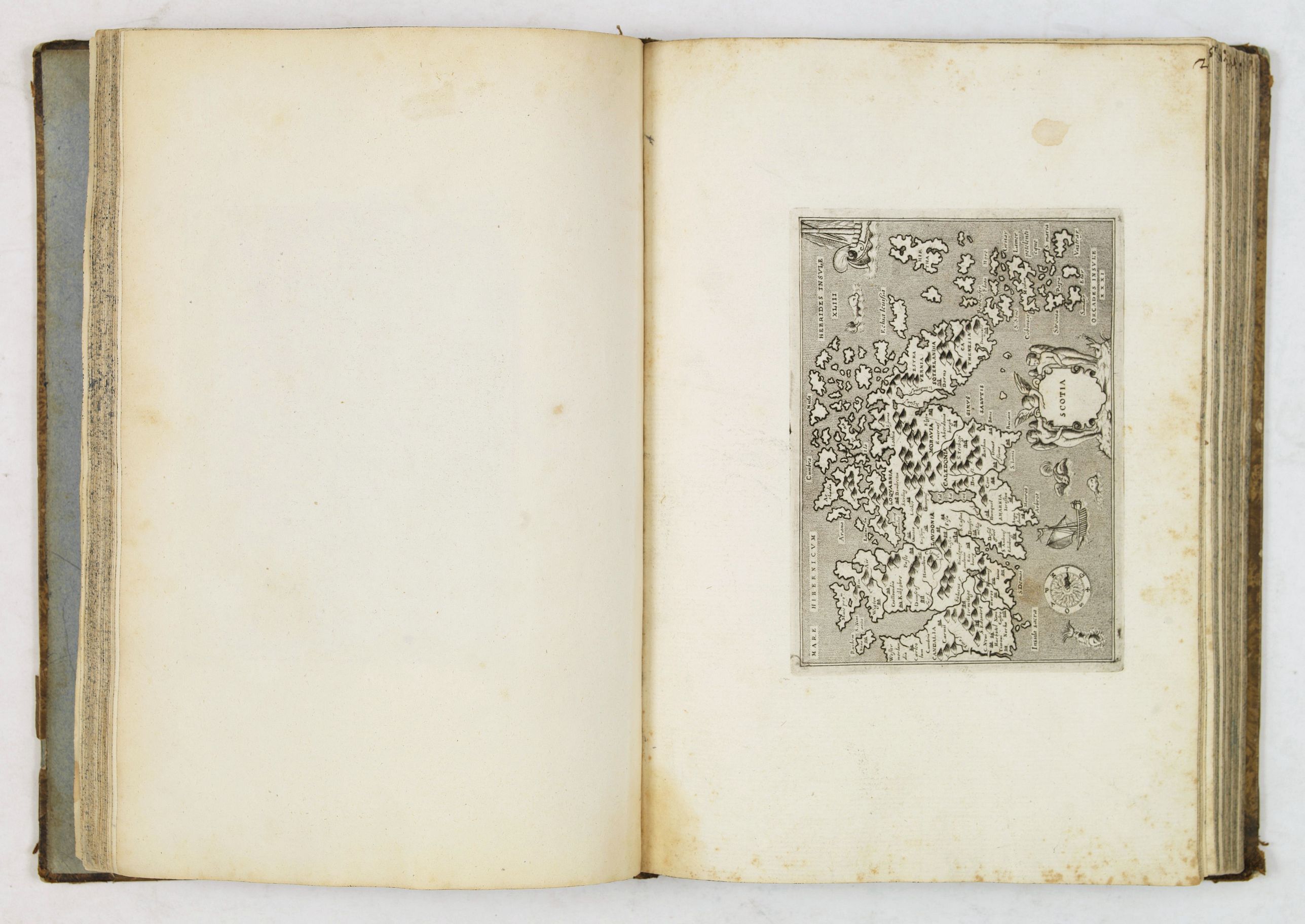
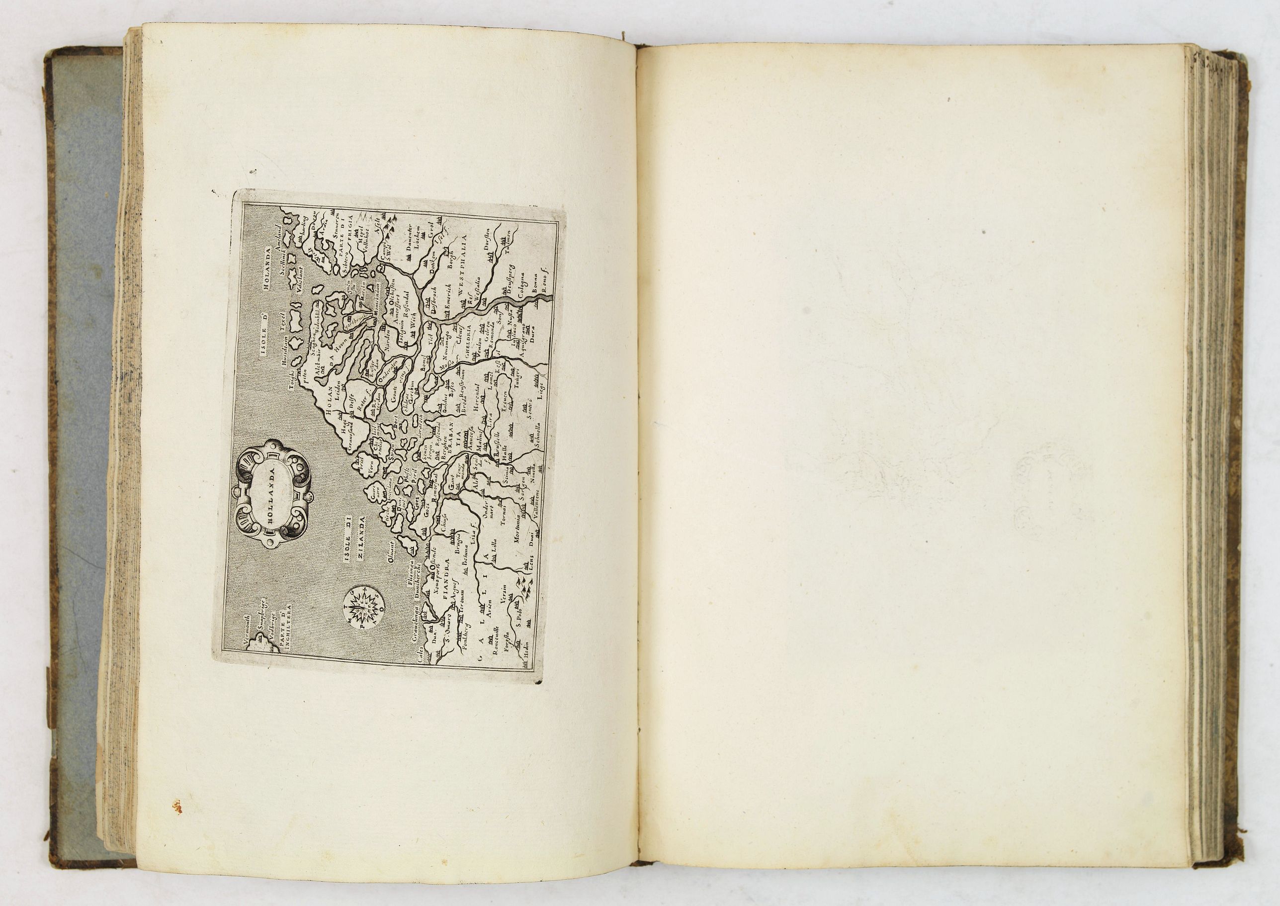
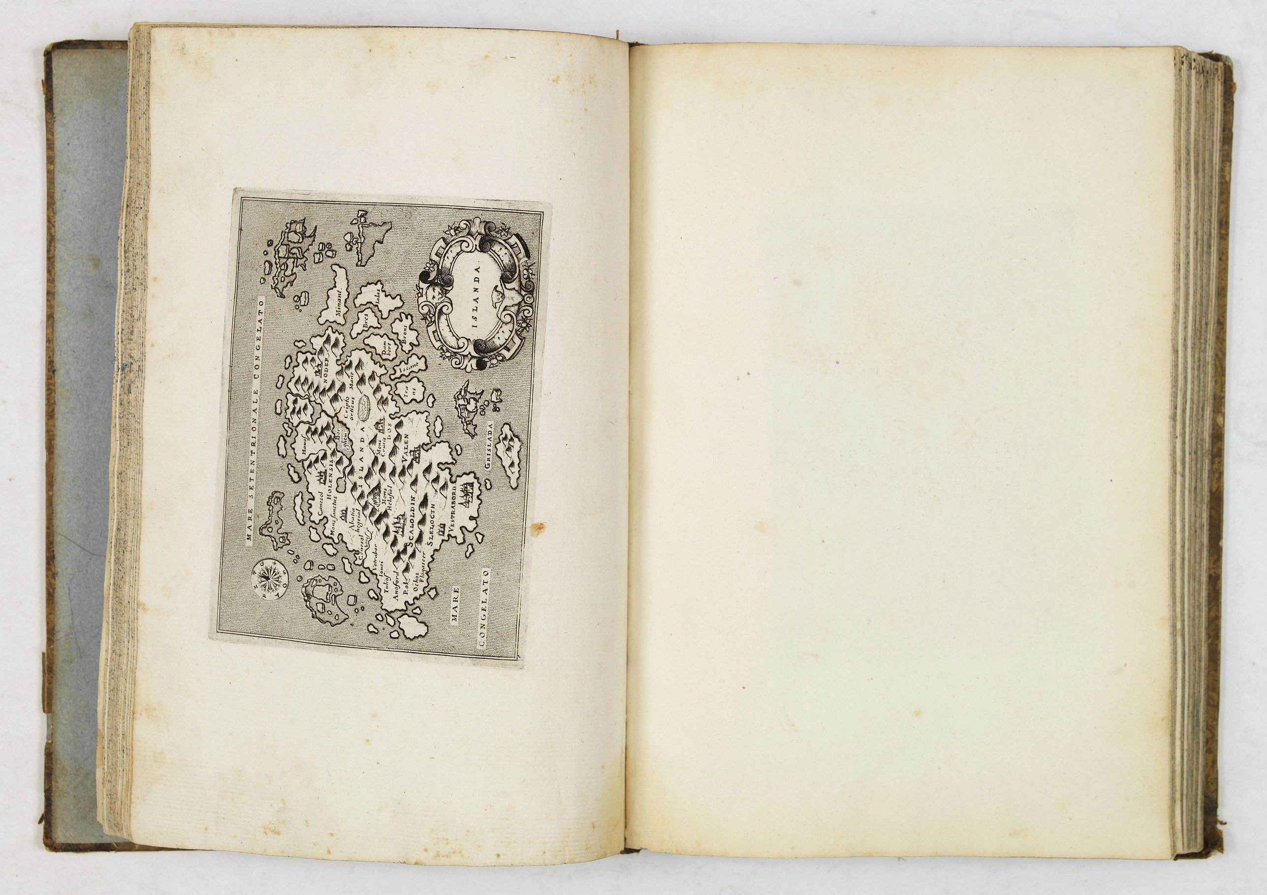
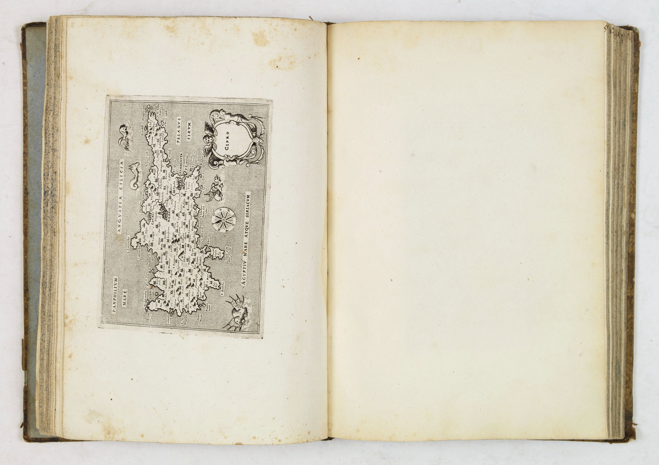
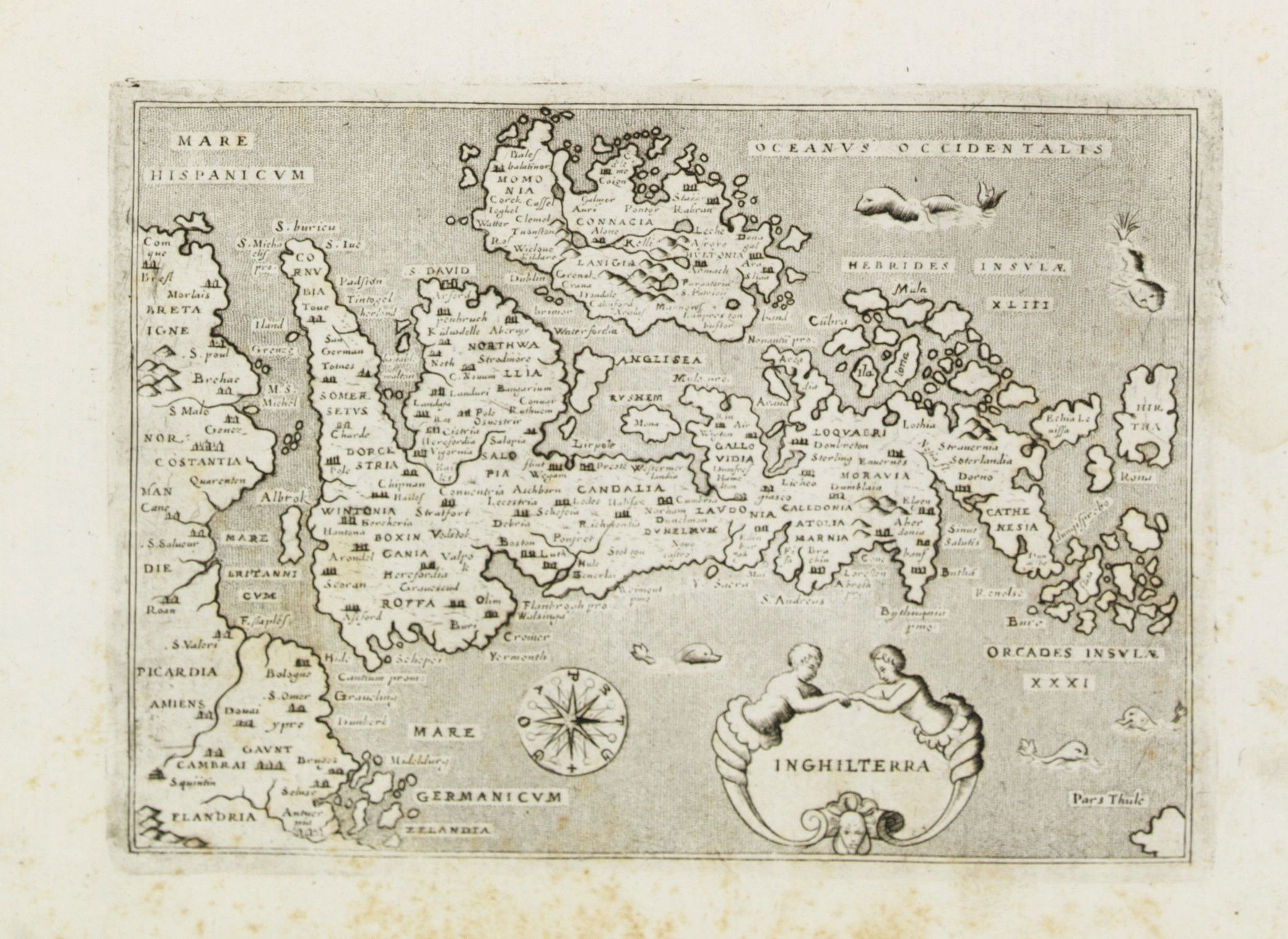
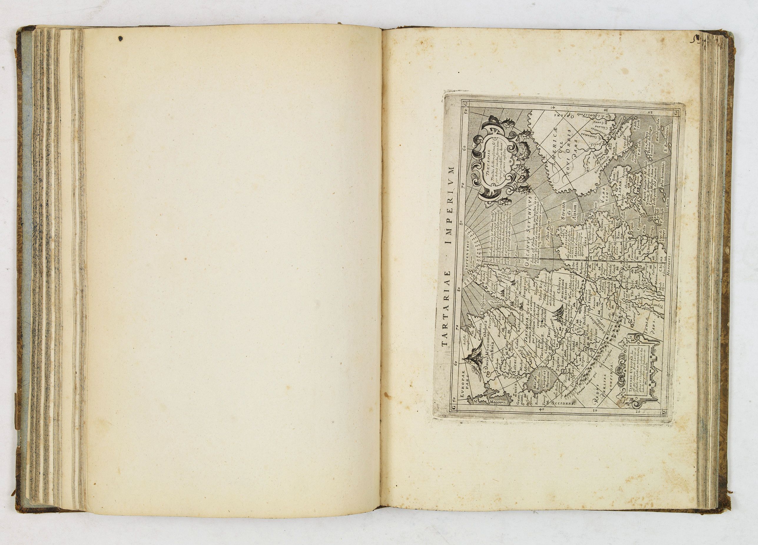
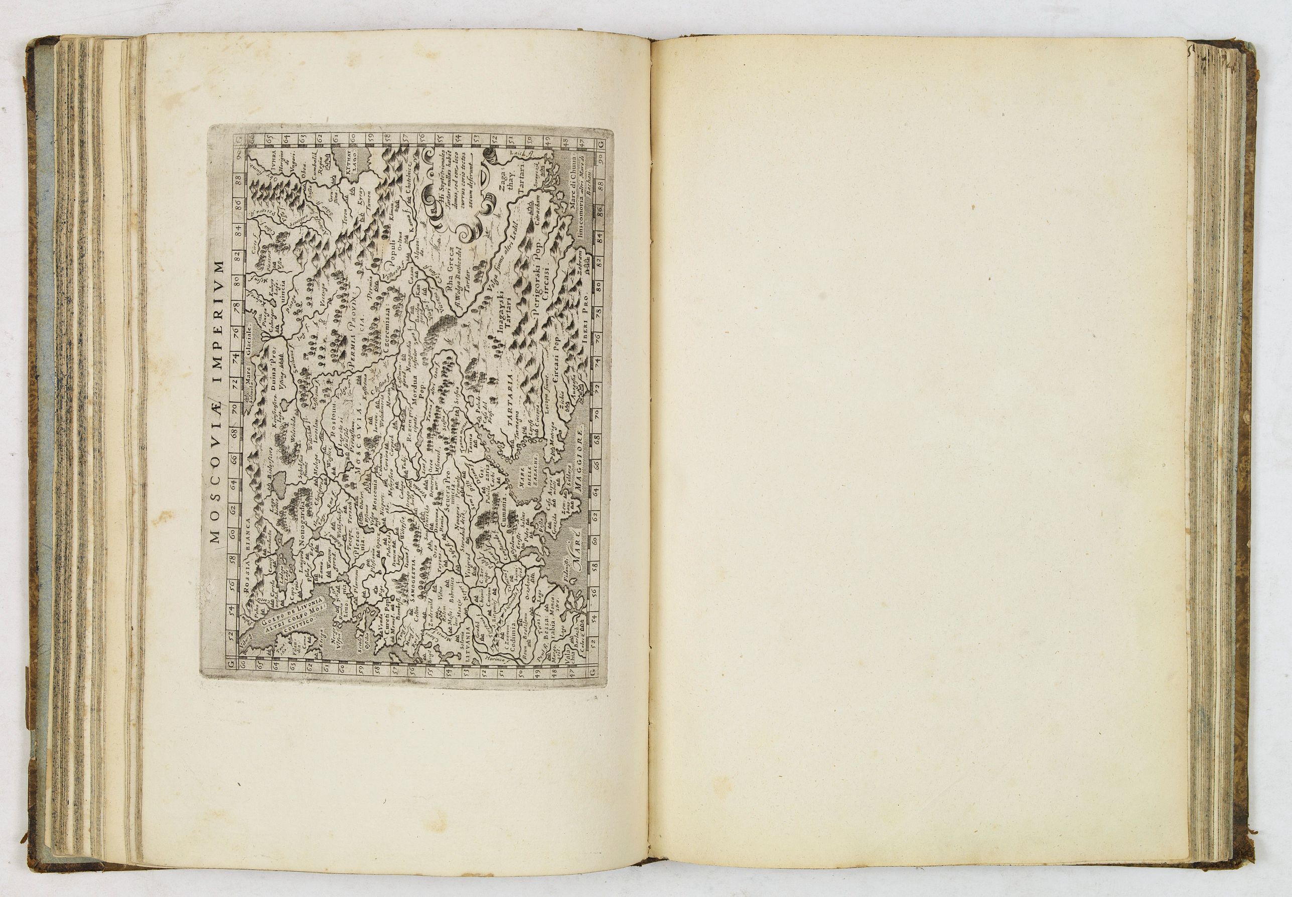
In this collection, there are 36 of the 37 modern maps from Giovanni Andrea Magini - Geographiae universae tum veteris tum nouae absolutissimum opus duobus voluminibus distinctum, in quorum prior habentur CI. Ptolemaei Pelusiensis geographicae enarrationis. Missing is the oversized Mercator world (Shirley 194). Several plates have extensive re-engraving. World, Cyprus, Egypt, Low Countries, etc.
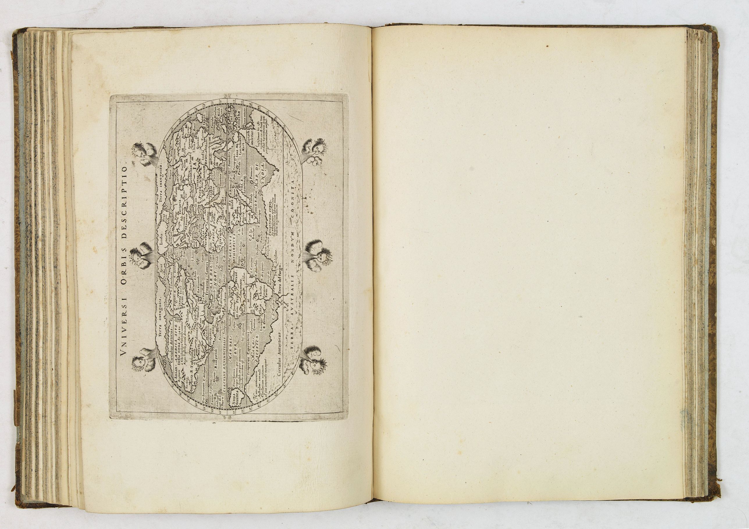
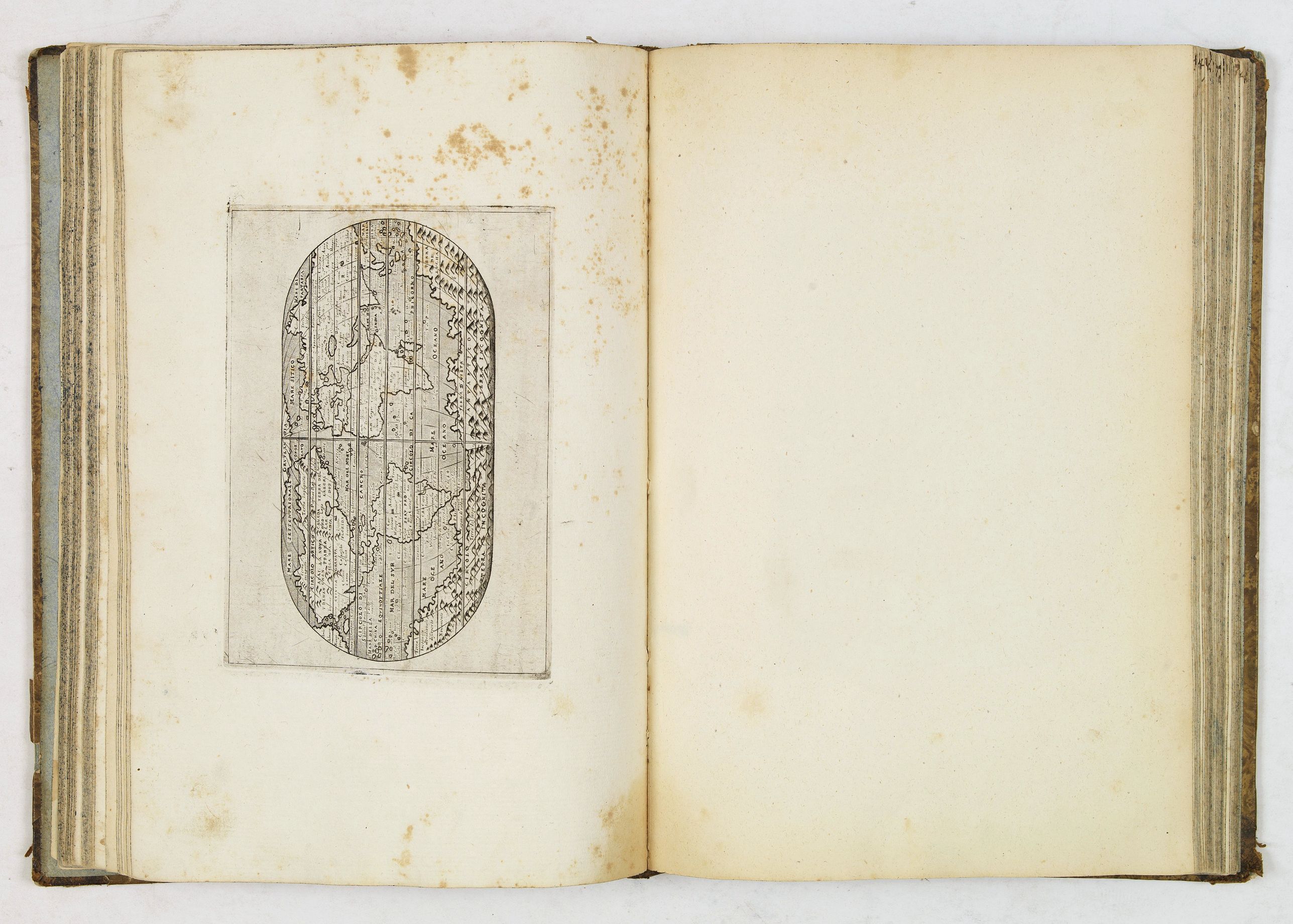
Mentionable the two 'modern' world maps, first "Vniversi orbis descriptio" which is a reduced version of the 1570 Ortelius map, surrounded by six wind heads (Shirley 195). Magini's mariner's map (Shirley 196) follows Gerard Mercator's large world map of 1569, with fanciful addition of chains of mountains across the souther continent.
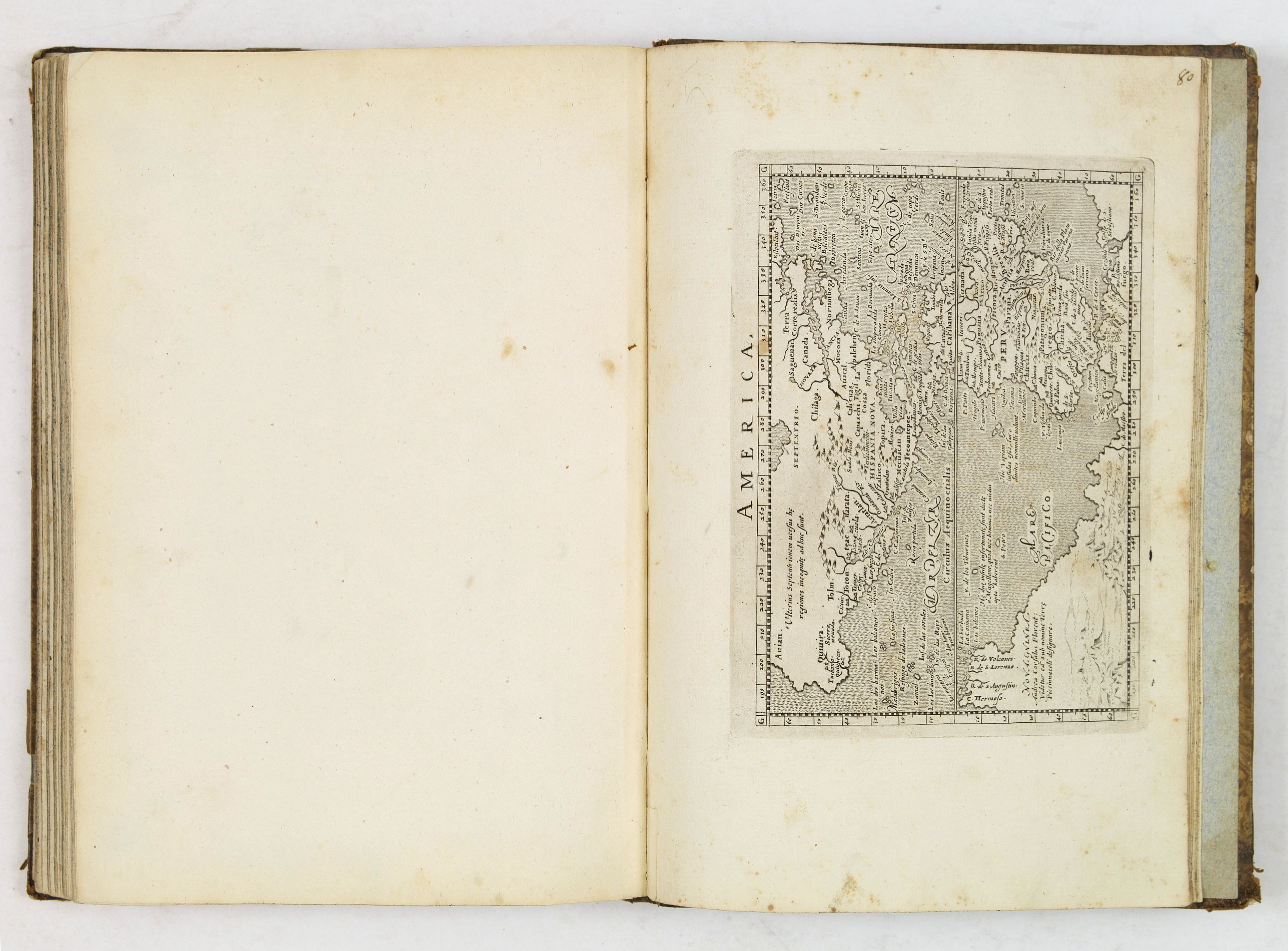
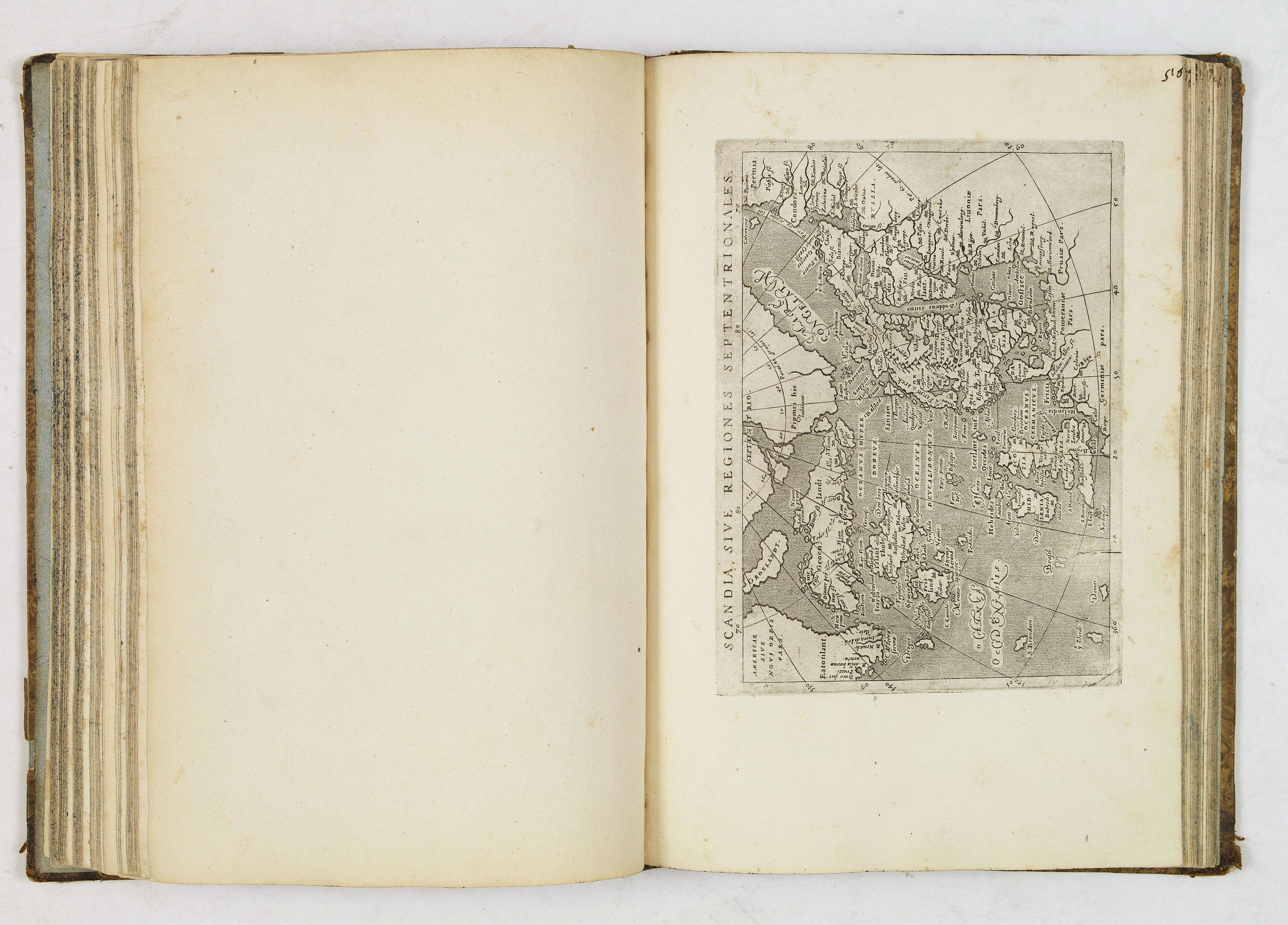
Beside the world maps, four continental map of Asia, Africa, America and Europe are included, whereas the Africa map showing parts of Brazil and the Asia map also including elements of America. There are three other maps with parts of America: 'Scandia, sive Regiones Septentrionales' showing the north Atlantic with parts of Labrador (Burden 94), 'Tartariae Imperium' with Japan, parts of Canada and California (Burden 95), and finally 'India Orientalis', the attractive map of south -east Asia with the west coast of North America.
Read more about this atlas
FAQ - Guarantee - Shipping
Buying in the BuyNow Gallery
This item is available for immediate purchase when a "Add to Cart" or "Inquire Now" button is shown.
Items are sold in the EU margin scheme
Payments are accepted in Euros or US Dollars.
Authenticity Guarantee
 We provide professional descriptions, condition report (based on 45 years experience in the map business)
Paulus Swaen warrants the authenticity of our items and a certificate of authenticity is provided for each acquired lot.
Condition and Coloring
We indicate the condition of each item and use our unnique HiBCoR grading system in which four key items determine a map's value: Historical Importance, Beauty, Condition/Coloring and Rarity.
Color Key
We offer many maps in their original black and white condition. We do not systematically color-up maps to make them more sellable to the general public or buyer.
Copper engraved or wood block maps are always hand colored. Maps were initially colored for aesthetic reasons and to improve readability. Nowadays, it is becoming a challenge to find maps in their original colors and are therefor more valuable.
We use the following color keys in our catalog:
Original colors; mean that the colors have been applied around the time the map was issued.
Original o/l colors; means the map has only the borders colored at the time of publication.
Colored; If the colors are applied recently or at the end of the 20th century.
Read more about coloring of maps [+]
Shipping fee
A flat shipping fee of $ 30 is added to each shipment by DHL within Europe and North America. This covers : International Priority shipping, Packing and Insurance (up to the invoice amount).
Shipments to Asia are $ 40 and rest of the world $50
We charge only one shipping fee when you have been successful on multiple items or when you want to combine gallery and auction purchases.
Read more about invoicing and shipping
FAQ
Please have a look for more information about buying in the BuyNow gallery
Many answers are likely to find in the general help section.
My Collection+
![]()
With My Collection+ you can collect all your favorite items in one place. It is free, and anyone can create his or her virtual collection.
Unless you are logged in, the item is only saved for this session. You have to be registed and logged-in if you want to save this item permanently to My Collection+.
Read More[+]
Register here, it is free and you do not need a credit card.
Add this item to
My Collection+
or click the following link to see My Collection+.
| Digital Image Download | |
|
Paulus Swaen maintains an archive of most of our high-resolution rare maps, prints, posters and medieval manuscript scans. We make them freely available for download and study. Read more about free image download |
Click the image for a free small image download. |
.jpg)


In accordance with the EU Consumer Rights Directive and habitually reside in the European Union you have the right to cancel the contract for the purchase of a lot, without giving any reason.
The cancellation period will expire 14 calendar days from the day after the date on which you or a third party (other than the carrier and indicated by you) acquires, physical possession of the lot. To exercise the right to cancel you must inform Paulus Swaen Inc, of your decision to cancel this contract by a clear statement (e.g. a letter sent by post, or e-mail.
To meet the cancellation deadline, it is sufficient for you to send your communication concerning your exercise of the right to cancel before the cancellation period has expired.
