Browse Listings in America
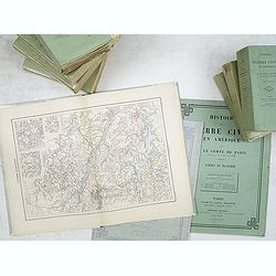
Histoire de la Guerre Civile en Amerique par M. Le Comte de Paris, Ancien Aide de Camp du General Mac Clellan (McClellan). ...
1875 VORZET, Ed. Dumas - Histoire de la Guerre Civile en Amerique par M. Le Comte de Paris, Ancien Aide de Camp du General Mac Clellan (McClellan). ...
Date: Paris. Michel Levy Freres, 1875
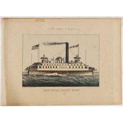
New York Ferry Boat. (Bac à vapeur de New York).
1875 CURRIER & IVES - New York Ferry Boat. (Bac à vapeur de New York).
Date: New York, ca. 1875
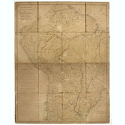
Mapa geogra´fico de la mayor parte de la Ame´rica Meridional que contiene los paises por donde debe trazarse la li´nia divisoria que divida los dominios de Espan~a y Portugal. . .
1876 REQUENA, F. - Mapa geogra´fico de la mayor parte de la Ame´rica Meridional que contiene los paises por donde debe trazarse la li´nia divisoria que divida los domi...
Date: Bourquin, F. Philadelphia, ca. 1876
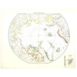
Région arctique.
1877 VIVIEN DE SAINT MARTIN, L. - Map of the North Pole, together with the often missing overlay with the Arctic expedition of Captain Nares.
Date: Paris, Hachette, 1877
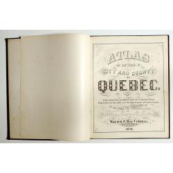
Atlas of the city and county of Quebec from actual surveys, based upon the cadastral plans deposited in the office of the Department of Crown Lands.
1879 HOPKINS, H.W. - This scarce city atlas of Quebec is illustrated with 18 hand-colored maps made by Henry Whitmer
Date: Provincial Surveying and Pub. Co., Walter, S, MacCormac, manager,1879
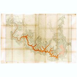
Dutton Map of the Grand Canyon, Arizona (in 4 joined sheets)
1882 DUTTON, C.E. - Dutton Map of the Grand Canyon, Arizona (in 4 joined sheets)
Date: Julius Bien and Co., 1882
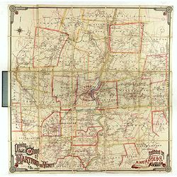
Driving chart of Hartford and vicinity : 15 miles around.
1884 HYDE and Co, A. A. - Driving chart of Hartford and vicinity : 15 miles around.
Date: New York / Philadelphia, 1884
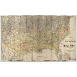
Map showing the cotton growing belt in the United States Prepared for and copyrighted by Geo. H.Mc.Fadden & Bro., cotton merchands based in Phiiladelphia, USA 1892.
1892 Mc.FADDEN, H. - Map showing the cotton growing belt in the United States Prepared for and copyrighted by Geo. H.Mc.Fadden & Bro., cotton merchands based in Ph...
Date: Philadelphia, 1892

[Soil map] Virginia-Maryland-West Virginia, Leesburg sheet.
1903 U.S. DEPT. OF ARGICULTURE - [Soil map] Virginia-Maryland-West Virginia, Leesburg sheet.
Date: New York, 1903

[United States map with Ottoman script.]
1909 ESREF, Mehmet - [United States map with Ottoman script.]
Date: Istanbul, 1325 or 1909

[ North and South America with telegraph cables, with Ottoman script]
1909 ESREF, Mehmet - [ North and South America with telegraph cables, with Ottoman script]
Date: Istanbul, 1325 or 1909
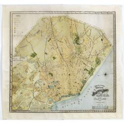
Nuevo plano de la ciudad de Buenos Aires y parte del partido de avellaneda . . .
1912 ESCALANTE, E. - Nuevo plano de la ciudad de Buenos Aires y parte del partido de avellaneda . . .
Date: Buenos Aires, 1912
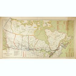
Map of the Dominion of Canada.
1914 ROCHE, W.J / CORY, W.W - Map of the Dominion of Canada.
Date: 1914
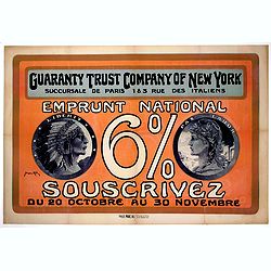
Guaranty Trust Company of New York. Emprunt national 6%.n Souscrivez.
1918 ALL, M. - Guaranty Trust Company of New York. Emprunt national 6%.n Souscrivez.
Date: Paris, 1918
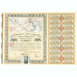
Accion de 10 pesos. No. 110,931 (Share certificate)
1924 Compania Azucarera de Paraiso Novillero S.A. - Accion de 10 pesos. No. 110,931 (Share certificate)
Date: Paris, 1924
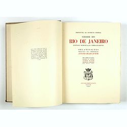
Cidade do Rio de Janeiro - Remodelação, Extensão e Embelezamento.
1930 A. PRADO JUNIOR. / A.AGACHE Agache - Important architectural book prepared by Antonio Prado Junior under the general direction of Alfredo Agache
Date: Foyer Brésilien editor, Paris, 1930
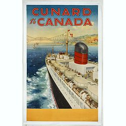
Cunard to Canada.
1930 TURNER, C.E - Cunard to Canada.
Date: England, ca. 1930
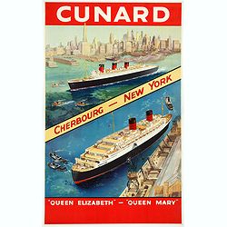
Cunard Cherbourg-New York.
1930 TURNER, C.E - Cunard Cherbourg-New York.
Date: England, ca. 1930
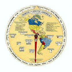
North and South America At-A-Glance.
1931 THE INTERNATIONAL AT-A-GLANCE CHART CO. - North and South America At-A-Glance.
Date: New York & London: International At-A-Glance Chart Co. 1931
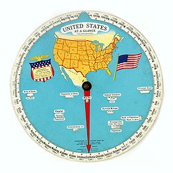
United States At-A-Glance.
1931 THE INTERNATIONAL AT-A-GLANCE CHART CO. - United States At-A-Glance.
Date: New York / London: International At-A-Glance Chart Co. 1931
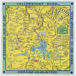
A Hysterical Map of the Yellowstone Park. . .
1936 LINDGREN BROTHERS - A Hysterical Map of the Yellowstone Park. . .
Date: Spokane, 1936
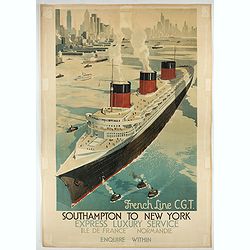
French Line CGT Poster.
1936 Attrib. Walter Thomas. - French Line CGT Poster.
Date: England, ca. 1936
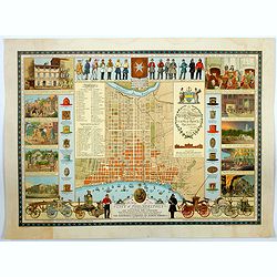
A Map of the City of Philadelphia, showing the Location of the Volunteer Fire Companies. . .
1938 THE INSURANCE COMPANY OF NORTH AMERICA. - A Map of the City of Philadelphia, showing the Location of the Volunteer Fire Companies. . .
Date: Philadelphia, 1938
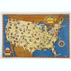
The Greyhound Map of This Amazing America. . .
1941 [THE GREYHOUND CORPORATION] - The Greyhound Map of This Amazing America. . .
Date: United States, 1941
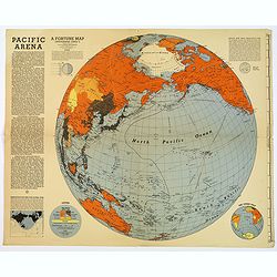
Pacific Arena
1942 FORTUNE MAGAZINE. - Second World War map covering the Pacific regions. Printed as Supplements to 'Fortune' in March 1942
Date: New York, 1942
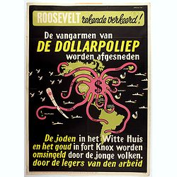
Rooseveld rekende verkeerd ! De vangarmen van De Dollarpoliep worden afgesneden. . .
1942 MANCHE, L. - Rooseveld rekende verkeerd ! De vangarmen van De Dollarpoliep worden afgesneden. . .
Date: The Netherlands, 1942
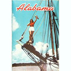
Alabama. Official Highway map 1942.
1942 ALA STATE HIGHWAY DEPARTMENT - Alabama. Official Highway map 1942.
Date: Alabama, Paragon Press, 1942

Mapa geral do Brasil / organizado pelos J. Carneiro da Silva e Pedro Voss. [Together with] Micro geografia do Brasil. [Together with] Pequeno Mapa do Brasil.
1946 CARNEIRO DA SILVA, J. / VOSS, Pedro. - Mapa geral do Brasil / organizado pelos J. Carneiro da Silva e Pedro Voss. [Together with] Micro geografia do Brasil. [Toge...
Date: São Paulo, 1946
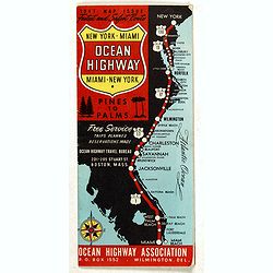
New York - Miami Ocean Highway. Pines to Palms. - Ocean Highway Official Highway Route Approved and Sponsored by the Ocean Highway Association.
1947 OCEAN HIGHWAY ASSOCIATION - New York - Miami Ocean Highway. Pines to Palms. - Ocean Highway Official Highway Route Approved and Sponsored by the Ocean Highway Ass...
Date: Washington, ca. 1947
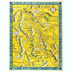
A Hysterical Map Of Death Valley National Monument -- And It's Looking Mighty Low
1948 LINDGREN, J. - A Hysterical Map Of Death Valley National Monument -- And It's Looking Mighty Low
Date: Spokane, Wash., Lindgren Brothers, 1948
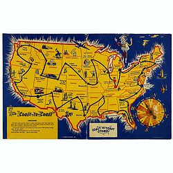
Coast to Coast.
1950 HARIETT-GILMAR - A game board featuring a map of the U.S. with a built-in spinner
Date: New York, ca. 1950
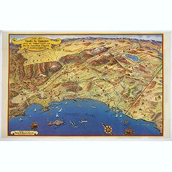
Ride the Roads to Romance along the Golden Coast and thru the Sunshine Empire of Southern California.
1950 ROADS TO ROMANCE ASSOCIATION INC. - Ride the Roads to Romance along the Golden Coast and thru the Sunshine Empire of Southern California.
Date: California, 1950
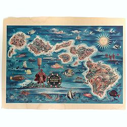
The Dole Map of the Hawaiian Islands.
1950 DOLE HAWAIIAN PINEAPPLE COMPANY. - The Dole Map of the Hawaiian Islands.
Date: USA, 1950
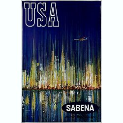
Sabena (USA - NYC).
1970 VAN DEN EYNDE, G. - Sabena (USA - NYC).
Date: Brussels, ca. 1970
