Singapore
According to the Daoyi Zhilue Jiaoshi, a Chinese account of the ports in Southeast Asia and the Indian Ocean littoral, written by the Chinese trader Wang Dayuan sometime in the mid–14th century, these were, namely, top-quality hornbill casques, middle-quality lakawood, and cotton. The niche market was successfully established, as these products, which were commonly found at other Southeast Asian ports, were unique in quality.
By the 15th century, Singapore had declined as an international trading port amid the rise of the Malacca Sultanate.
Pre-1819 Singapore’s role as an international trading port, which lasted for more than 300 years from the late 13th century, came to an abrupt end in the early 17th century, when the island’s main settlement and port were destroyed by a punitive force from Aceh. Thereafter, Singapore was devoid of any significant settlement or port until 1819, when Sir Thomas Stamford Raffles founded Singapore and reestablished an international port on the island.
In January 1819 Stamford Raffles of the English East India Company, searching for a trading site, forestalled by the Dutch at Riau, and finding the Carimon (Karimun) Islands unsuitable, landed at Singapore. He found only a few Chinese planters, some Indigenous people, and a few Malays and was told by the hereditary chief, the temenggong (direct ancestor of the sultans of present-day Johor, Malaysia), that the company could purchase land.
In 1824 an Anglo-Dutch treaty left Malaya and Singapore in the British sphere, and in August the whole of Singapore Island was ceded to the British for a monetary payment. Two years later Singapore, Penang, and Malacca (Melaka) were combined as the Straits Settlements to form an outlying residency of India. In 1830 they were reduced to a residency under Bengal, and two years later Singapore became their capital. When the East India Company lost its monopoly of the China trade (1833), it also lost its interest in Malaya. The settlements were transferred to the direct control of the governor-general of India in 1851. In 1867 they were made a crown colony under the Colonial Office in London.
Mapping
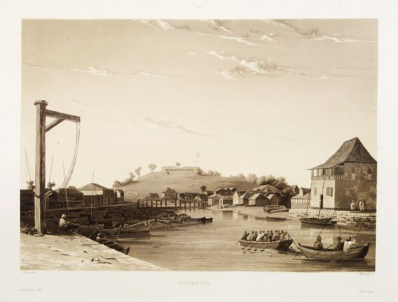
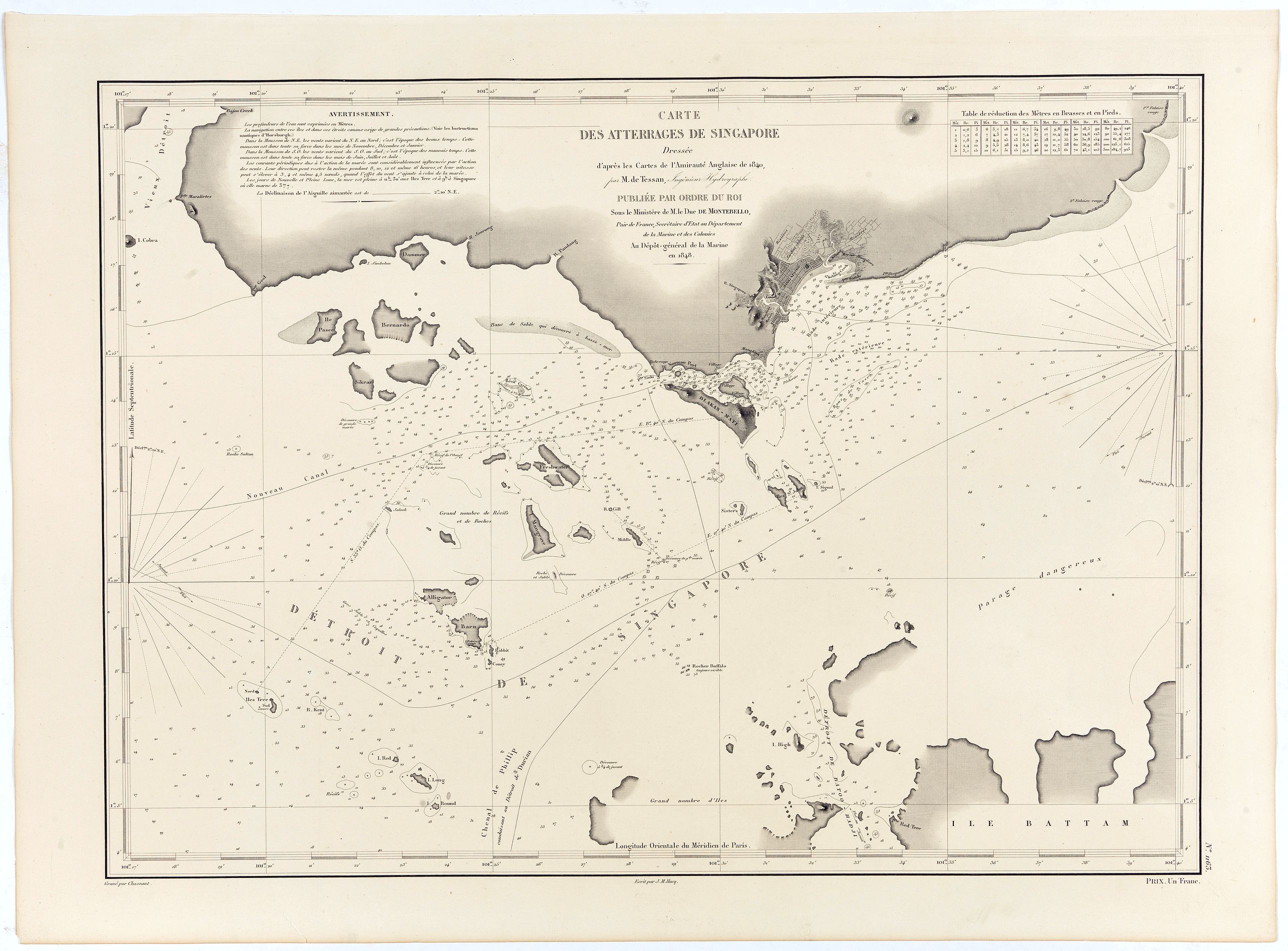
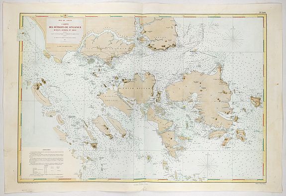
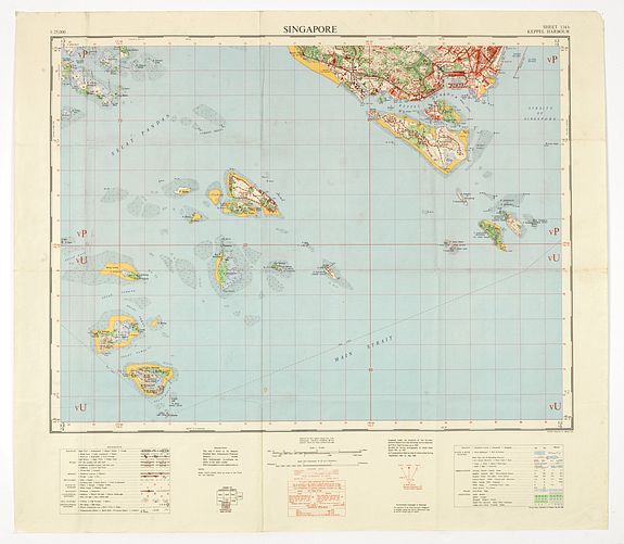
When Singapore was founded in 1819, the seas around the colony were only tentatively mapped. John Turnbull Thomson and Samuel Congalton's original survey work in the region led to the publication of his monumental 2 sheet chart of the region in 1846, which was later revised and re-issued in 1855.
Thomson arrived in the Malay Straits in 1838 and was employed by the East India Survey. In 1841, he was appointed Government Surveyor at Singapore and in 1844, became Superintendent of Roads and Public Works. Thomson was responsible for designing and constructing a number of notable engineering works including bridges, roads, and hospitals. He conducted the allotment survey of Singapore, the topographical survey of the island of Singapore and its dependencies, and the marine survey of the Straits of Singapore and the east coasts of Johore and Penang. His outstanding achievement was the erection of the Horsburgh Lighthouse on Pedra Branca.
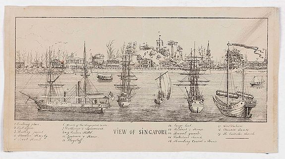
With the advent of the steamship in the mid-1860s and the opening of the Suez Canal in 1869, Singapore became a major port of call for ships plying between Europe and East Asia. With the development of rubber planting, especially after the 1870s, it also became the main sorting and export center in the world for rubber. By the end of the 19th Century, Singapore was experiencing unprecedented prosperity as its international trade expanded dramatically.