Browse Listings in Europe
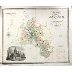
Map of the County of OXFORD from an Actual Survey' by C. & J. Greenwood.
A very attractive and detailed 19th century map of Oxfordshire, replete with a fine vignette view of Oxford Cathedral, which was published in Christopher and John Greenwo...
Date: London, 1834
Selling price: ????
Please login to see price!
Sold in 2018
[Title page] Nouvelle géographie et statistique de la France, Alger et la Belgique.
Frontispiece with map of France with two sheets showing a mail exchanges between Henry and the rector, the prefect and the ministry of the public institution, plus a desc...
Date: Paris, 1834
Selling price: ????
Please login to see price!
Sold in 2020
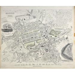
Edinburgh.
A beautiful plan of the city of Edinburgh, Scotland by the Society for the Diffusion of Useful Knowledge. Centred on the Old Town, it covers the city of Edinburgh in exce...
Date: London, 1834
Selling price: ????
Please login to see price!
Sold in 2020
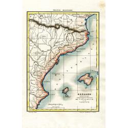
Espagne Orientale Comprenant les Provinces de Catalogne et de Valence
Attractive and unusual steel engraved map showing the eastern part of Spain with Barcelona, Valencia, and the Balearic Islands of Ibiza, Mallorca, and the tip of Menorca....
Date: Paris, c1835
Selling price: ????
Please login to see price!
Sold in 2008
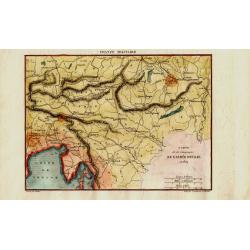
Carte de la Campagne de l'Armée D'Italie en 1809
Attractive and unusual steel engraved map illustrates the military activities in Austria, Hungary, and the Istria peninsula in 1809, during the Franco-Italian Napoleon fo...
Date: Paris, c1835
Selling price: ????
Please login to see price!
Sold in 2008
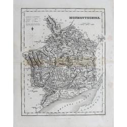
(Lot of 2 maps) Wales - Monmouthsthire
An interesting pair of old maps of Wales: - Fullarton, ca. 1835, "Monmouthshire". 240 x 190 mm. A detailed map with much information, showing also the distance...
Date: England, c1835
Selling price: ????
Please login to see price!
Sold in 2012
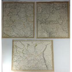
Three S.D.U.K. Maps - Russia II, Russia V & Russia VI
Three detailed maps of Russia by S.D.U.K. published in London in 1835 by Chapman & Hall. “Russia II” covers Olonetz, Iaroslav, Arkhangel, Vologda, Viarka & Pe...
Date: London, 1835
Selling price: ????
Please login to see price!
Sold in 2016
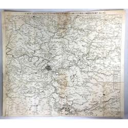
Carte Geognostique des Environs de Paris
A large detailed map from "Memoires de la Classe des Sciences Mathematiques et Physiques de l`Institut Imperial de France", by Cuvier & Brongniart, publishe...
Date: Paris, 1835
Selling price: ????
Please login to see price!
Sold in 2016
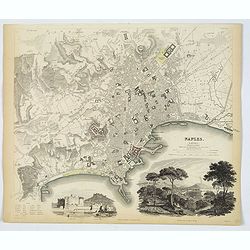
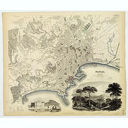
Naples.
An attractive town plan of Naples, a pair of handsome decorative vignette views of 'Naples from the Hill of Posilipo' and the 'New Castle and Castle St. Elmo'. Plan is ve...
Date: London, 1835
Selling price: ????
Please login to see price!
Sold in 2019
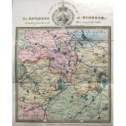
A new & improved map of the environs of Windsor, extending from 14 to 18 miles round the castle.
An apparently very scarce map (Copac with only 2 listings) of the area around Windsor. The map includes roads and distances. The title with a decorative vignette. Drawn ...
Date: London, ca. 1835
Selling price: ????
Please login to see price!
Sold in 2023
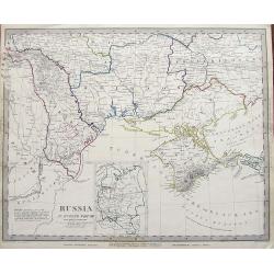
Russia in Europe Part VIII.
An early example of this interesting large scale map. Shows a part of the Black Sea with the Crimea, the Danube Delta, parts of Romania, Moldova, and the Ukraine. Include...
Date: London, 1835
Selling price: ????
Please login to see price!
Sold in 2019
Naples.
An attractive town plan of Naples, a pair of handsome decorative vignette views of 'Naples from the Hill of Posilipo' and the 'New Castle and Castle St. Elmo'. Plan is ve...
Date: London, 1835
Selling price: ????
Please login to see price!
Sold in 2019
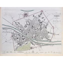
Florence. Firenze.
A highly detailed town plan of Florence, with profile views of 16 principal buildings. With street names, buildings, piazzas, the castello, etc.Drawn by W. B. Clarke, eng...
Date: London, 1835
Selling price: ????
Please login to see price!
Sold in 2020
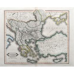
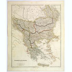
Turkey in Europe, Greece & the Ionian Islands.
A scarce and a highly detailed map of Turkey and Greece. Includes the Balkans, Cyprus, Crimea and the Black Sea. An attractive example.
Date: Edinburgh, ca 1835
Selling price: ????
Please login to see price!
Sold in 2020
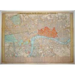
Cruchley's New Plan of London Shewing all the New and Intended Improvements to the Present Time
One of the more desirable and sought after plans of London. Demand for Cruchley London plans has grown substantially in recent years. At a 2006 Bonhams auction, an 1828...
Date: London, 1836
Selling price: ????
Please login to see price!
Sold
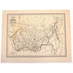
Carte de la Siberie ou Russie D'Asie.
An interesting hand-colored, lithograph map of Siberia from the Brussels edition of Malte-Brun's "Atlas Complet." The way that the provinces or Oblasts are diff...
Date: Brusselles, 1836
Selling price: ????
Please login to see price!
Sold in 2013
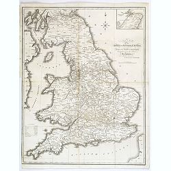
Map of the Canals and Navigable Rivers in England, Wales and Scotland. . .
From The History of Lancashire by Edward Baines, engraved by Hall, and by William Swire, Surveyor, Leeds. Shows all of England and Wales and Scotland as far north as Pert...
Date: Leeds, 1824-1836
Selling price: ????
Please login to see price!
Sold in 2021
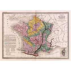
Carte physique et minéralogique de la France.
Thematical map of France with inset map of Corsica and Paris.From Malte-Brun's Atlas Géographie Universelle.."., revised by Jean Jacques Nicolas Huot.This...
Date: Paris 1837
Selling price: ????
Please login to see price!
Sold
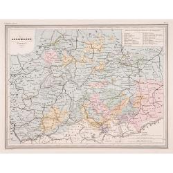
Allemagne centrale.
"Map of Germany.From Malte-Brun's Atlas Géographie Universelle..""., revised by Jean Jacques Nicolas Huot.This very fine executed map has been p...
Date: Paris 1837
Selling price: ????
Please login to see price!
Sold
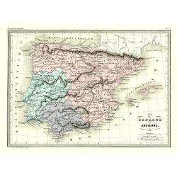
Éspagne Ancienne.
Detailed map of ancient Spain and Portugal.From Malte-Brun's Atlas Géographie Universelle.., revised by Jean Jacques Nicolas Huot.This very fine executed map has been pr...
Date: Paris 1837
Selling price: ????
Please login to see price!
Sold
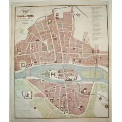
Plan de la Ville de Paris, sous Phillipe de Bel...
An uncommon, large scale, decorative early 19th century plan of Paris. The work was commissioned by architect Albert Lenoir. Important buildings are highlighted and stree...
Date: Paris, 1837
Selling price: ????
Please login to see price!
Sold
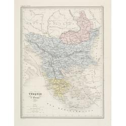
Turquie d' Europe. (Greece)
Detailed map of Greece.From Malte-Brun's Atlas Géographie Universelle.. ., revised by Jean Jacques Nicolas Huot.This very fine executed map has been printed by Fosset an...
Date: Paris, 1837
Selling price: ????
Please login to see price!
Sold in 2013
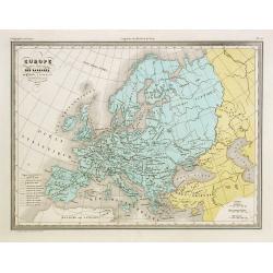
Europe aprés l'invasion des Barbares..
Ancient map of Europe in the 5th and 6th century.From Malte-Brun's Atlas G�ographie Universelle.., revised by Jean Jacques Nicolas Huot.This very fine executed map h...
Date: Paris 1837
Selling price: ????
Please login to see price!
Sold in 2008
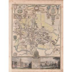
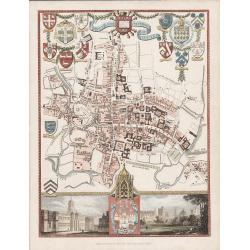
'CITY AND UNIVERSITY OF OXFORD'.
A highly detailed, finely engraved, hand colored plan of the University City of Oxford, embellished with the heraldic shields, arms of the Town, the University, and its c...
Date: London, 1837
Selling price: ????
Please login to see price!
Sold in 2019
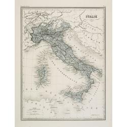
Italie.
Fine map of Italy.From Malte-Brun's Atlas Géographie Universelle.. ., revised by Jean Jacques Nicolas Huot.This very fine executed map has been printed by Fosset and was...
Date: Paris, 1837
Selling price: ????
Please login to see price!
Sold in 2011
(Title page) Album venitien composé de douze vues. . .
Beautiful title page from "Album venitien composé de douze vues" with in center Venice's famous Bridge of Sighs, which was designed by Antonio Contino and was ...
Date: Venice, J. Kier, 1837
Selling price: ????
Please login to see price!
Sold in 2019
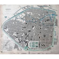
Brussels (Bruxelles)
Highly detailed town plan of Brussels, with profile views of 8 principal buildings and a smaller map of the environs of Brussels. With street names, buildings, parks, etc...
Date: London, 1837
Selling price: ????
Please login to see price!
Sold in 2011
'CITY AND UNIVERSITY OF OXFORD'
A steel engraving by James Bingley in 1837 for Moule's "English Counties Delineated" The 1830 -1837 editions of this map are scarce.An attractive and highly det...
Date: London, 1837
Selling price: ????
Please login to see price!
Sold in 2016
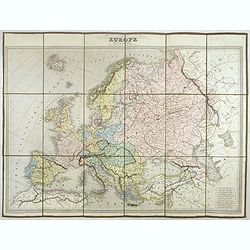
EUROPE Dressée par C.V. Monin.
Detailed map of Europe with different scales in lower right corner.Engraved by L.Grenier, Rue des Noyers, No. 33. and printed by Mangeon.Here the map is issued as a singl...
Date: Paris, Armand Aubrée, ca. 1837
Selling price: ????
Please login to see price!
Sold in 2017
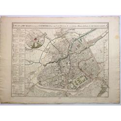
Plan de Bruxelles et de ses Faubourgs.
A very detailed city plan of Brussels and its suburbs, with a route map of its surroundings and postal routes from Brussels to The Hague.The map was produced by J.B.D.B a...
Date: Paris, 1837
Selling price: ????
Please login to see price!
Sold in 2017
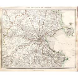
The environs of Dublin.
A very detailed map of the region surrounding Dublin, extending to Killiney Bay, Muldouny Bay and County Kildare. The map also locates churches, lodges, parks, roads, etc...
Date: London, 1837
Selling price: ????
Please login to see price!
Sold in 2018
The Trongate, Glasgow. . .
An attractive tinted lithograph from a folio of some 26 tinted litho's, titled Sketches in Scotland, Drawn on Stone from Nature. by Samuel Swarbreck. Signed, dated and ti...
Date: London, 1837
Selling price: ????
Please login to see price!
Sold in 2020
(Two prints) North Bridge Street Edinburgh / The Regents Bridge, Waterloo Place, Edinburgh.
An attractive pair of tinted lithograph of Edinburgh street scenes from a folio of some 26 tinted litho's, titled Sketches in Scotland, Drawn on Stone from Nature. by Lon...
Date: London, 1837
Selling price: ????
Please login to see price!
Sold in 2019
Holyrood Palace & Chapel with Arthur's Seat and Salisbury Crags.
A fine Edinburgh lithograph entitled “Holyrood Palace And Chapel With Arthur’s Seat And Salisbury Crags ” by the London-born artist Samuel Swarbreck. It dates from ...
Date: London, 1837
Selling price: ????
Please login to see price!
Sold in 2018
The North Bridge & part of the New & Old Towns of Edinburgh.
A fine Edinburgh lithograph showing the historic North Bridge, linking the New and Old Towns of Edinburgh, by the London-born artist Samuel Swarbreck. It dates from 1837 ...
Date: London, 1837
Selling price: ????
Please login to see price!
Sold in 2018
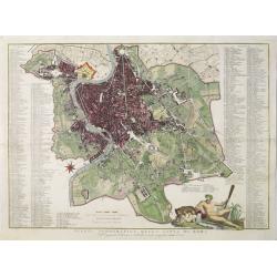
Pianta topografica della citta di Roma.
Uncommon and decorative plan of Rome. With a numbered key. 1-264. Engraved by Marco di Pietro.
Date: Florence 1838
Selling price: ????
Please login to see price!
Sold
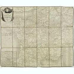
Carte des routes de poste de France dressée par Tardieu Graveur 1838.
This post road maps map of France is showing incredible detail of the postal roads, stations (or "stages"), and the distances from town to town. Lower left an i...
Date: Paris, 1838
Selling price: ????
Please login to see price!
Sold
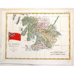
La Scozia Meridionale.
Striking Marmocco map with his signature map (Southern Scotland) added. Francesco Costantino Marmocchi (1805 - 1858 ) was an Italian geographer . His other writings de...
Date: Florence, 1838
Selling price: ????
Please login to see price!
Sold in 2014
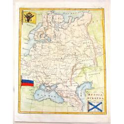
Russia Europa.
Pleasing map of Russia with three pertinant flags. Includes Russian flag as well as flags of war and mercantile marine. The flags covers Russia, poland, Lithuania, Estoni...
Date: Florence, 1838
Selling price: ????
Please login to see price!
Sold in 2013
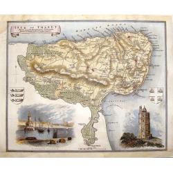
Isle of Thanet.
Decorative map oF the Island of Thanet, Kent with two views and 2 coats of arms. This is a map from "ENGLISH COUNTIES DELINEATED" by Thomas Moule who combined a...
Date: London, 1838
Selling price: ????
Please login to see price!
Sold in 2014
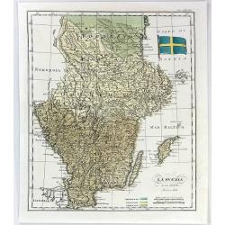
La Svezia e la Gotia.
A fine map of Sweden by Francesco Constantino Marmocchi. It is from the atlas "Atlante di Geogrfia Universale" published in Florence in 1838. The map features a...
Date: Florence, 1838
Selling price: ????
Please login to see price!
Sold in 2016
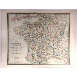
The Kingdom of France describing the New Limits according to the Treaty of Paris.
A large, beautifully detailed, and colorful map of France divided into 86 departments, with Corsica as an inset. No cartouche but very decorative calligraphy in the title...
Date: London, 1838
Selling price: ????
Please login to see price!
Sold in 2016
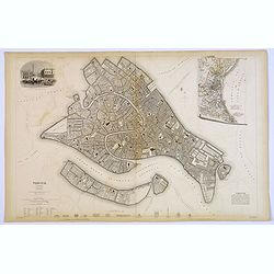
Venice.
A lovely steel engraved plan of Venice by the Society for the Diffusion of Useful Knowledge (SDUK). This English philanthropic enterprise was entirely devoted to the spre...
Date: London, 1838
Selling price: ????
Please login to see price!
Sold in 2018
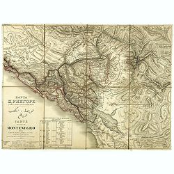
Carte du pays de Montenegro dressée d'après les opérations géodétiques . . .
A rare map of Montenegro, prepared by Mr. le Comte Fedor de Karacsay (1787-1859) and engraved by Pietro Allodi. The title is in Russian, Arabic, and French.In the lower-l...
Date: Vienna, ca. 1838
Selling price: ????
Please login to see price!
Sold in 2018
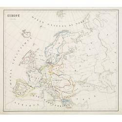
Europe - Mars 1839
Fine manuscript map of Europe with relief shown pictorially. The Oceans in wash color and the borders in different colors. Dated 1839 and signed by the author in the lowe...
Date: Paris, 1839
Selling price: ????
Please login to see price!
Sold in 2009
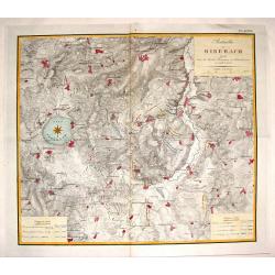
Batailles de Biberach Livrees Entre les Armees Francaises et Autricheinnes en 1796 et 1800.
Fine military map depicting the details of the battlefield of Biberach. It features fortifications and troop placements. Three plain block cartouches and unique compass r...
Date: Paris, 1839
Selling price: ????
Please login to see price!
Sold in 2015
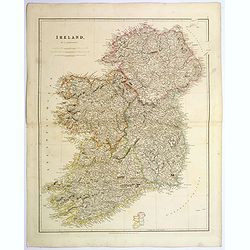
Ireland.
An attractive steel engraved map of Ireland, with each county divided by a different color. A pleasing amount of detail is provided. Also with a small inset map naming th...
Date: London, 1839
Selling price: ????
Please login to see price!
Sold in 2023
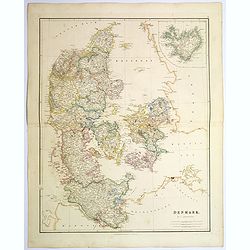
Denmark.
An attractive steel engraved map of Denmark, with an inset map of Iceland, which was then a Danish dependency. Many place names and physical features shown.The Arrowsmith...
Date: London, 1839
Selling price: ????
Please login to see price!
Sold in 2017
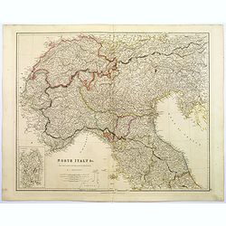
North Italy &c. . .
A large steel engraved map of Northern Italy, to include Switzerland, inset of the Italian Mediterranean island of Sardinia. Map extends as far south as the isle of Elba....
Date: London, 1839
Selling price: ????
Please login to see price!
Sold in 2017
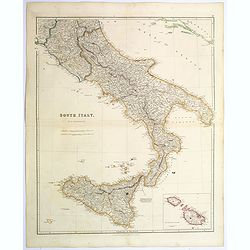
South Italy.
A large steel engraved map of South Italy, with an inset of the Maltese Islands. Map extends from Perugia, southward through Naples, continuing south to 'the boot', and i...
Date: London, 1839
Selling price: ????
Please login to see price!
Sold in 2020
Turkey in Europe.
A large steel engraved map of Turkey in Europe, stretching from Croatia and Bosnia in the west across to the countries bordering the Black sea, southwards through mainlan...
Date: London, 1839
Selling price: ????
Please login to see price!
Sold in 2020
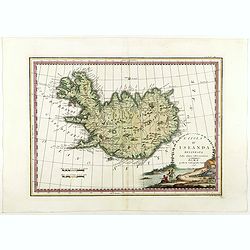
L'Isola d'Islanda Delineata Sulle ultime osservazioni.
Cassini’s splendid map depicts Iceland at the end of the eighteenth century. Though Iceland was geographically isolated from the European continent, for centuries it wa...
Date: Rome, 1796- before 1839
Selling price: ????
Please login to see price!
Sold in 2018
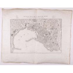
Nouveau Plan de la ville de Gênes corrigé de tous les changements faits jusqu'à ce jour.
Detailed plan of Genova., with in top a numbered key. Large margins.
Date: Genova, 1839
Selling price: ????
Please login to see price!
Sold in 2021
[BALKANS 1839] HARTIS TIS TOYRKIAS KAI ELLADOS. . . BIENNI 1839.
A very rare copper engraved map of the southern Balkans - European Turkey and Greece, by K.M.Koyma, for the Greek edition of the Geography by A.Balbi, 1839 in Vienna. Cov...
Date: Vienna, 1839
Selling price: ????
Please login to see price!
Sold in 2021
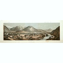
Interlaken.
Decorative panoramic view of the town of Interlaken, with in left hand corner the mountain Jung-Frau.Lithographed by Deroy.
Date: Paris, ca. 1840
Selling price: ????
Please login to see price!
Sold
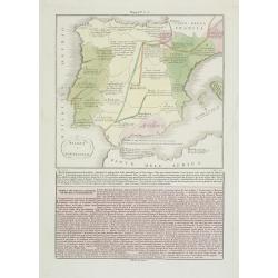
Spagna e Portugallo . . .
A rare map of ancient Spain and Portugal.From l'Atlante Storico, Letterario, Biografico, Archeologico. . . with attributions by Giambatista Albrizzi.Engraved by P.Zulian...
Date: Venice, 1840
Selling price: ????
Please login to see price!
Sold in 2009
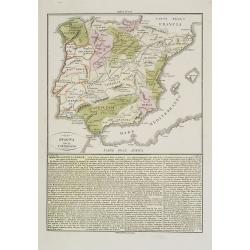
La Spagna ed il Portugallo. . .
A rare map of ancient Spain and Portugal.From l'Atlante Storico, Letterario, Biografico, Archeologico. . . with attributions by Giambatista Albrizzi.Engraved by P.Zulian...
Date: Venice, 1840
Selling price: ????
Please login to see price!
Sold in 2009
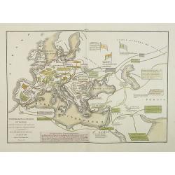
Transmigrazioni ed invasioni de\' Barbari . . .
A rare double-page map of Barbarian invasion.According to the title cartouche, prepared by A de La Sage for l\'Atlante Storico, Letterario, Biografico, Archeologico. . . ...
Date: Venice, 1840
Selling price: ????
Please login to see price!
Sold in 2009
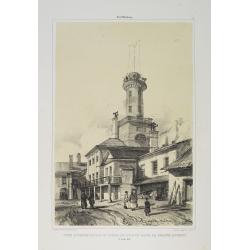
Tour d'Observation et siège de police dans la grande Morskoi. (2 Juillet 1839).
A view of Observation Tower and police headquarters in the Morskoi in Saint Petersburg on August 9 1839. Plate taken from the first illustrated account of Russian archite...
Date: Paris, 1840
Selling price: ????
Please login to see price!
Sold in 2013
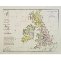
La Gran Brettagna . . . .
A rare and detailed double-page map of Great Britain with three inset maps upper left of the Shetland Mainland Islands, the Helgoland Island (occupied by the English in 1...
Date: Venice, 1840
Selling price: ????
Please login to see price!
Sold in 2011
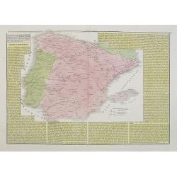
Spagna e Portogallo.
A rare and detailed double-page map of Spain and Portugal, showing the battlefields during the years 1817 until 1814. The map is surrounded by an explanatory historical t...
Date: Venice, 1840
Selling price: ????
Please login to see price!
Sold in 2009
L'Italia ripartita a diversi dominii, in forza delli trattati di pace ottenuti dall' impero francese, conquiso al 1815.
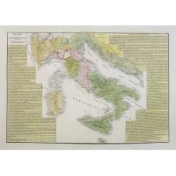
A rare and detailed double-page map of Italy around the year 1815. The map is surrounded by an explanatory historical text about the country in a yellow background color....
Date: Venice, 1840
Selling price: ????
Please login to see price!
Sold in 2017
L'Italia dopo le prime guerre del secolo XVIII, eipartita dal vantato equilibrio europeo, sino al 1789.
A rare and detailed double-page map of Italy during the years 1748 - 1795. The map is surrounded by an explanatory historical text about the country in a yellow backgroun...
Date: Venice, 1840
Selling price: ????
Please login to see price!
Sold in 2023
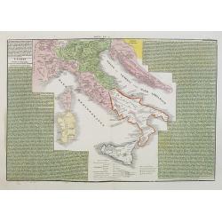
L'Italia suddivisa ne'varii stati che la dominavano circa al 1700.
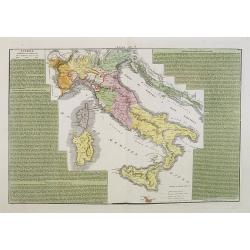
A rare and detailed double-page map of Italy around the year 1700. The map is surrounded by an explanatory historical text about the country in a green background color.F...
Date: Venice, 1840
Selling price: ????
Please login to see price!
Sold in 2017
L'Europa colle politiche divisioni nel 1827.
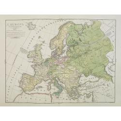
A rare and detailed double-page map of Europe. From l'Atlante Storico, Letterario, Biografico, Archeologico. . . with attributions by Giambatista Albrizzi.Upper left a k...
Date: Venice, 1840
Selling price: ????
Please login to see price!
Sold in 2009
Regno Lombardo-Veneto parte dell' Impero Austriaco.
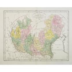
A rare and detailed double-page map of Northern Italy. From l'Atlante Storico, Letterario, Biografico, Archeologico. . . with attributions by Giambatista Albrizzi.Engrav...
Date: Venice, 1840
Selling price: ????
Please login to see price!
Sold in 2009
Impero Romano . . .
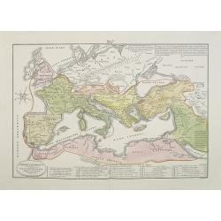
A rare double-page map of the Roman Empire. From l'Atlante Storico, Letterario, Biografico, Archeologico. . . with attributions by Giambatista Albrizzi.Lower part a key....
Date: Venice, 1840
Selling price: ????
Please login to see price!
Sold in 2009
La Germania Legislativa . . . / La Germania ne' suoi principali dominii . . .
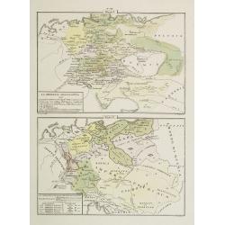
Two rare maps of Germany: Top map: 160 x 235mm. Bottom map: 155 x 230mm.Prepared by Las Casas for l'Atlante Storico, Letterario, Biografico, Archeologico. . . with attri...
Date: Venice, 1840
Selling price: ????
Please login to see price!
Sold in 2022
Château de Rustephan. (Bretagne).
A view of the ruin of Rustephan Castle. Made "after nature" by Serda in 1837.
Date: Paris, ca. 1840
Selling price: ????
Please login to see price!
Sold in 2009
Eglise et cimetière a St. Marc. (Bretagne).
A view of the cemetery of St. Marc in Bretagne. Made "after nature" by Serda in 1837. Lithographed by Vulleneuve.
Date: Paris, ca. 1840
Selling price: ????
Please login to see price!
Sold in 2009
Europe.
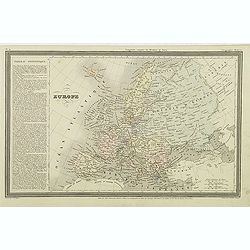
Finely engraved map of Europe prepared by A.H.Dufour and engraved by Giraldon-Bovinet. Published by Jules Renouard in his uncommon atlas "Le globe Atlas classique Un...
Date: Paris, Jules Renouard, ca.1840
Selling price: ????
Please login to see price!
Sold in 2015
Iles Britanniques.
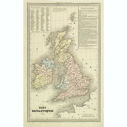
Finely engraved map of British Isles prepared by A.H.Dufour and engraved by Giraldon-Bovinet. Published by Jules Renouard in his uncommon atlas "Le globe Atlas class...
Date: Paris, Jules Renouard, ca.1840
Selling price: ????
Please login to see price!
Sold in 2011
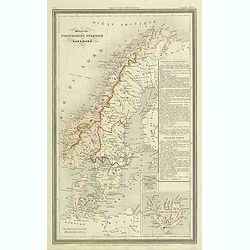
Monarchie Norvegieno Suedoise et Danemark.
Finely engraved map of Scandinavia, including Norway, Sweden, Denmark with insets of Iceland and Faroe Islands, prepared by A.H.Dufour and engraved by Giraldon-Bovinet. P...
Date: Paris, Jules Renouard, ca.1840
Selling price: ????
Please login to see price!
Sold in 2012
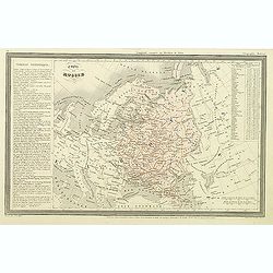
Empire de Russie.
Finely engraved map of Russia prepared by A.H.Dufour and engraved by Giraldon-Bovinet. Published by Jules Renouard in his uncommon atlas "Le globe Atlas classique Un...
Date: Paris, Jules Renouard, ca.1840
Selling price: ????
Please login to see price!
Sold in 2012
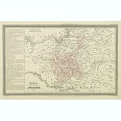
Royaume de Pologne.
Finely engraved map of Poland prepared by A.H.Dufour and engraved by Giraldon-Bovinet. Published by Jules Renouard in his uncommon atlas "Le globe Atlas classique Un...
Date: Paris, Jules Renouard, ca.1840
Selling price: ????
Please login to see price!
Sold in 2011
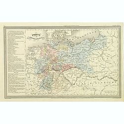
Prusse et confédération Germanique.
Finely engraved map of Prussia and part of Poland prepared by A.H.Dufour and engraved by Giraldon-Bovinet. Published by Jules Renouard in his uncommon atlas "Le glob...
Date: Paris, Jules Renouard, ca.1840
Selling price: ????
Please login to see price!
Sold in 2011
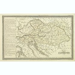
Empire d'Autriche.
Finely engraved map of Austria prepared by A.H.Dufour and engraved by Giraldon-Bovinet. Published by Jules Renouard in his uncommon atlas "Le globe Atlas classique U...
Date: Paris, Jules Renouard, ca.1840
Selling price: ????
Please login to see price!
Sold in 2011
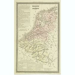
Hollande et Belgique.
Finely engraved map of the Netherland, Belgium and Luxemburg, prepared by A.H.Dufour and engraved by Giraldon-Bovinet. Published by Jules Renouard in his uncommon atlas &...
Date: Paris, Jules Renouard, ca.1840
Selling price: ????
Please login to see price!
Sold in 2011
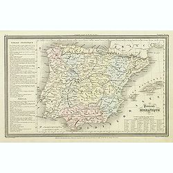
Péninsule hispanique.
Finely engraved map of Spain and Portugal, including Majorca, Menorca and Ibiza, prepared by A.H.Dufour and engraved by Giraldon-Bovinet. Published by Jules Renouard in h...
Date: Paris, Jules Renouard, ca.1840
Selling price: ????
Please login to see price!
Sold in 2018
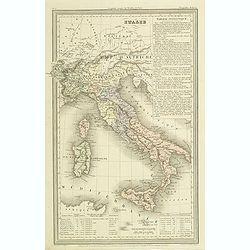
Italie.
Finely engraved map of Italy, including Sardinia and Corsica prepared by A.H.Dufour and engraved by Giraldon-Bovinet. Published by Jules Renouard in his uncommon atlas &q...
Date: Paris, Jules Renouard, ca.1840
Selling price: ????
Please login to see price!
Sold in 2012
![[Title page] Nouvelle géographie et statistique de la France, Alger et la Belgique.](/uploads/cache/41675-250x250.jpg)



![[BALKANS 1839] HARTIS TIS TOYRKIAS KAI ELLADOS. . . BIENNI 1839.](/uploads/cache/85299-250x250.jpg)
