Browse Listings in Europe
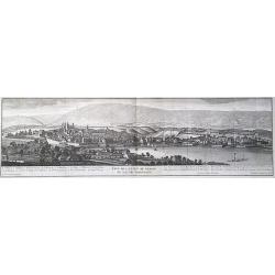
Veue de la ville de Geneve du coté du Septentrion.
A panoramic view of the city center of Geneva, Switzerland, as seen from Eaux Vives, Frontenex. The Jura mountains are in the background. After a design by Antoine Chopy ...
Date: Geneva, 1730
Selling price: ????
Please login to see price!
Sold in 2023
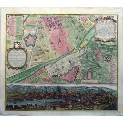
FLORENZ, FIRENZA la Capitale di Toscana etc. . .
A fine antique copper engraved map, a detailed plan with a fascinating panoramic view by Matthias Seutter, in Augsburg ca 1730. With two keys to the plan [numbers and let...
Date: Augsburg, ca 1730
Selling price: ????
Please login to see price!
Sold in 2020
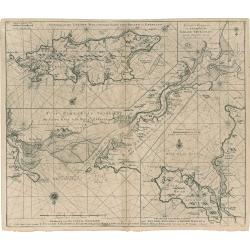
Eyland Man in St. Georges Channell
This is a scarce cartographic work by the Van Keulen family that provides three charts detailing islands in the Irish Sea.The chart at top left depicts the Isle of Man wi...
Date: Amsterdam, 1730
Selling price: ????
Please login to see price!
Sold in 2023
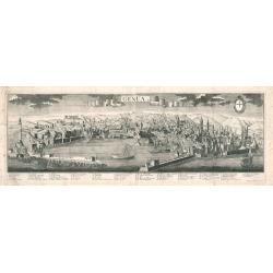
Genua
A panoramic bird's-eye-view of Genoa, Italy, printed on two sheets joined at the center. The work shows the harbor, city walls, buildings, churches, and hilly landscape i...
Date: Augsburg, 1730
Selling price: ????
Please login to see price!
Sold in 2023
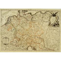
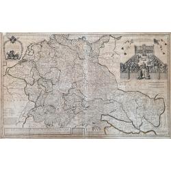
A New Map of Germany, Hungary, Transilvania...
Large scale map of central Europe from Moll, published J. & T. Bowles, P. Overton & J. King. Shows the area within Danzig, Denmark, Paris, Venice, Trieste, Pragu...
Date: London, ca. 1730
Selling price: ????
Please login to see price!
Sold in 2023
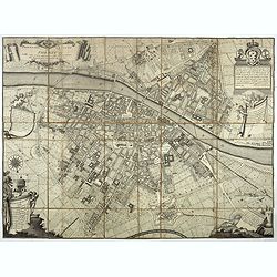
Pianta della città di Firenze nelle sue vere misure colla descrizione dei luoghi più notabili di ciascun quartiere.
First edition of the plan of the city of Florence by Ferdinando Ruggieri. Decorated with a title cartridge, a dedication cartouche decorated with the coat of arms of the ...
Date: Florence, 1731
Selling price: ????
Please login to see price!
Sold in 2017
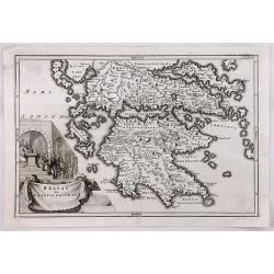
Hellas siue Graecia Propria.
A pleasant map of Southern Greece, portraying the ancient geography and cities, including the Pelopenesos, Athens, Corinth, Thebes, Argos, Mycenae and Sparta. With decora...
Date: Leipzig, 1731
Selling price: ????
Please login to see price!
Sold in 2018
Cavalerie legere françoise et etrangere régimentée sous Louis XIII en 1635. Neuviémz feuille.
Table showing the structure of The regiment of the Kings Cavalry which was a regiment of the cavalry of the Kingdom of France created in 1635 (then regiment of dragons). ...
Date: Paris, ca. 1731
Selling price: ????
Please login to see price!
Sold in 2019
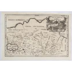
Scythia et Serica.
An interesting map of the region between the Caspian Sea and the Sea of China, much of which is 'Terra Incognita' in the North and East. Based upon 2000 year old geograph...
Date: Amsterdam, 1731
Selling price: ????
Please login to see price!
Sold in 2023
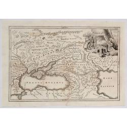
Sarmatda.
An interesting map of the Crimean Peninsula in Russia originally by Cellarius in 1731. It features a fine decorative cartouche with nomad peoples of the region. Christop...
Date: Venice, 1731
Selling price: ????
Please login to see price!
Sold in 2021
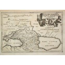
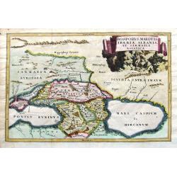
Bosporus, Maeotis, Iberia, Albania et Sarmatica Asiatica
Christoph Cellarius (1638-1707). Geographia Antiqua, 1686. A map of the Black Sea, the Caspium Sea and the area between. Embellished with a nice title-cartouche.
Date: Leipzig, Gledisch, 1732
Selling price: ????
Please login to see price!
Sold in 2009
[untitled] coastal views of Corsica and Porto Venere, Italy.
Unusual sheet with 20 sections of coastal views/land profiles of Italy and Corsica. Shows Porto Venere, Bastia, Calvi, and parts along the route. Each section with inform...
Date: Marseille, c1732
Selling price: ????
Please login to see price!
Sold in 2013
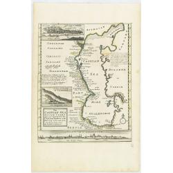
The Caspian Sea Drawn by the Czar's special command By Carl van Verden in the year 1719. 1720 and 1721. . .
Hand col. engraved map with 3 inset views. Includes geographical notes.With views of "Terky", "Derbent" and "Astracan"
Date: London, 1732
Selling price: ????
Please login to see price!
Sold in 2011
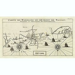
Carte Du Waeigatz ou Detroit De Nassau Suivant la Relation De Linschooten.
Decorative map of the Waeigatz Straits, between the southern part of Nova Zembla and the country of Samoyeds. Including two compass roses with radiating rhumb lines and v...
Date: Amsterdam, 1732
Selling price: ????
Please login to see price!
Sold in 2012
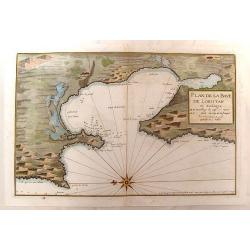
Plan de la Baye de Loristan
Nautical chart of the Gulf of Oristano in Sardinia. Decorated with a formidable compass rose, pointing due left. Little is known about Jacques Ayrouard and he only publi...
Date: Paris, 1732
Selling price: ????
Please login to see price!
Sold in 2014
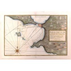
Plan du Port et de la Baye de Tarante
Nautical chart of the Gulf and Port of Taranto in Italy. Imposing large compass rose. Little is known about Jacques Ayrouard and he only published this single book on the...
Date: Paris, 1732
Selling price: ????
Please login to see price!
Sold in 2016
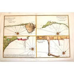
Plan du Mole de Naples, Veue en Plan de la Rade.
Four plans on one page of harbors on the Tyrrhenian Seacoast of Italy. Includes the harbors of Naples & Pozzuoli. The fortifications and buildings are well shown. Eac...
Date: Paris, 1732
Selling price: ????
Please login to see price!
Sold in 2014
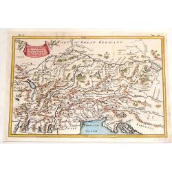
The Countries of Vindelicia, Rhaetia & Noricum.
Finely copper engraved map of ancient Switzerland, Germany, Austria, italy and Hungary. Interesting drapery style title cartouche held in the air by a pair of putti. Chri...
Date: London, 1732
Selling price: ????
Please login to see price!
Sold in 2015
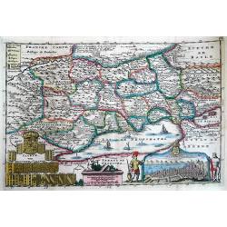
Caarte van Neufchatel et Valangin.
Highly detailed and decorative copper engraved map, showing the Lake Neuchâtel and surrounding area. Richly embellished with sailing ships on the lake, the title carto...
Date: Amsterdam, 1732
Selling price: ????
Please login to see price!
Sold in 2013
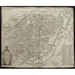
(Double page plan of Brussels)
Striking and highly detailed copper engraved city plan of Brussels, by Isaac Basire. For Mr. Tindal's Continuation of Mr. Rapin's History. This plan depicts roads, waterw...
Date: London, 1732
Selling price: ????
Please login to see price!
Sold in 2014
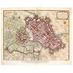
Plan of the City and Citadel of Lisle. (Lille)
Detailed city plan of the city and citadel of Lille in northern France. It is from Mr. Tindal's continuation of Mr. Tindal's "HISTORY OF ENGLAND" published in L...
Date: London, 1732
Selling price: ????
Please login to see price!
Sold in 2020
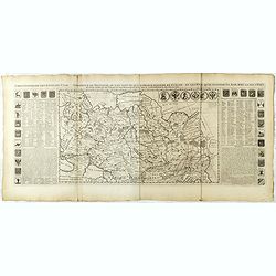
Carte générale des états du Czar Empereur de Moscovie ou l'on voit . . .
General map of Russia of the states of the Czar Emperor of Muscovy showing his possessions in Europe and Asia. To the left and right explanatory panels with coats of arms...
Date: Amsterdam, ca. 1732
Selling price: ????
Please login to see price!
Sold in 2017
Carte des Estats de la Couronne de Suède avec des Remarques et des Tables Tres Instructives.
Map shows Denmark with the southern part of Sweden and the northern coast of Germany with the island Rügen.This impressive map is the sixth plate in volume four of Chate...
Date: Amsterdam, 1732
Selling price: ????
Please login to see price!
Sold in 2023
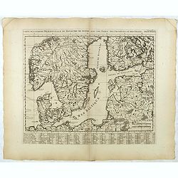
Carte de la Partie Meridionale du Royaume de Suede...
Map of the southern part of Scandinavia with letter key at the bottom.Zacharie Chatelain (d.1723) was the father of Henri Abraham (1684-1743) and Zacharie Junior (1690-17...
Date: Amsterdam, ca. 1732
Selling price: ????
Please login to see price!
Sold in 2017
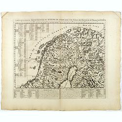
Carte de la Partie Septentrionale du Royaume de Suede...
Map of the northern part of Scandinavia. It covers the area straddling Norway, Sweden, Finland and Russia.Zacharie Chatelain (d.1723) was the father of Henri Abraham (168...
Date: Amsterdam, ca. 1732
Selling price: ????
Please login to see price!
Sold in 2017
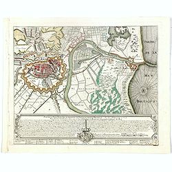
Plan de la Ville, Faubourg et environs de Dantzick, dédié et présenté à la Reine. (Gdansk )
Decorative and rare plan of Gdansk and the castle Weichselmunde by Jean de Beaurain (1696-1771). With a dedication to Marie Leszczynska (Queen of France). At the bottom o...
Date: Paris, 1732
Selling price: ????
Please login to see price!
Sold in 2020
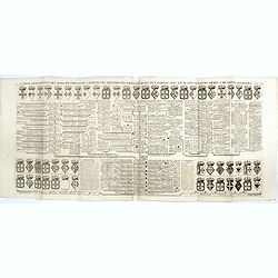
Carte Genealogique des Rois de Portugal & Partie des Differentes Branches qu'ils ont Formee avec le Blazon de leurs Armes & de leurs Alliances.
A genealogical tree of the Portuguese Kings with descriptive, from Chatelain's monumental 7 volume "Atlas Historique". Henri Abraham Chatelain (1684 – 1743) w...
Date: Amsterdam, 1720-1732
Selling price: ????
Please login to see price!
Sold in 2018
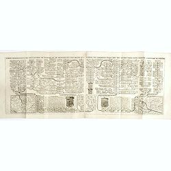
Carte genealogique des Ducs et Rois de Boheme et de Hongrie qui ont regné ou gouverné ces differents etats avec des instructions pour conduire à l'histoire de POLOGNE. . .
A genealogical tree of the Bohemian ducks and kings, from Chatelain's monumental 7 volume "Atlas Historique". This two sheet print features two maps (115 x 153m...
Date: Amsterdam, 1719-1732
Selling price: ????
Please login to see price!
Sold in 2017
Carte pour servir à l'intelligence de l'histoire eclessiastique et a faire connoitre les persecutions de l'Eglise . . .
Two sheet engraving explaining the various religious divisions in Europe. In the center a map (210 x 350mm.) of Europe and Turkey. To the lower left a map of Egypt and to...
Date: Amsterdam, 1720-1732
Selling price: ????
Please login to see price!
Sold in 2017
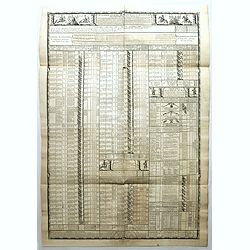
Chronologie des Etats & Empires du Monde depuis Adam jusqu'au au Commencement de l'Ere Vulgaire.
Graving showing the timeline of earth history from Adam to the beginning of the birth of Christ with inlay map of Peloponnese (120x130mm.) and in bottom Europe in the Bro...
Date: Amsterdam, 1720-1732
Selling price: ????
Please login to see price!
Sold in 2017
Carte genealogique des Ducs et Rois de Boheme et de Hongrie qui ont regné ou gouverné ces differents etats avec des instructions pour conduire à l'histoire de POLOGNE. . .
A genealogical tree of the Bohemian Duchess and Kings, from Chatelain's monumental 7 volume "Atlas Historique". This two sheet print features two small maps (11...
Date: Amsterdam, 1719-1732
Selling price: ????
Please login to see price!
Sold in 2018
Episcopatus Hildesiensis nen non vicinorum Statuum delineatio Geographica. . .
Johann Baptist Homann's well-engraved map of the Bishopric of Hildesheim has a large decorative cartouche and a plan and profile inset of Hildesheim. The map has a tremen...
Date: Nuremberg 1732
Selling price: ????
Please login to see price!
Sold in 2020
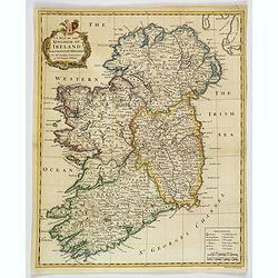
A Map of the Kingdom of Ireland.
A nice example of Seale's general map of Ireland produced for Tindal's "Continuation of Rapin's History." This map is quite detailed, accurate, and easy to read...
Date: London, ca 1732
Selling price: ????
Please login to see price!
Sold in 2019
Bosporus, Maeotis, Iberia, Albania, et Sarmatia Asiatica.
An historical map of the Black Sea and the Caspian Sea, including todays Crimea, Armenia, Georgia, Azerbaijan, parts of Turkey and Russia. With cities, rivers, mountains,...
Date: Leipzig, 1732
Selling price: ????
Please login to see price!
Sold in 2019
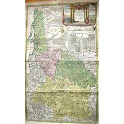
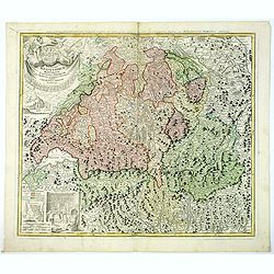
Potentissimae Helvetiorum Reipublicae Cantones Trediecim cum Foederatis et Subjectis Provinciis . . .
A wonderful map of Switzerland, showing the 13 Cantons, by Johann Baptiste Homann, head of one of the most prolific German map publishing houses of the entire 18th Centur...
Date: Nuremberg, 1732
Selling price: ????
Please login to see price!
Sold in 2019
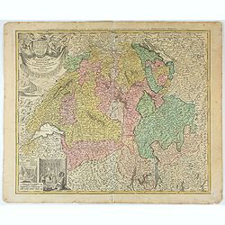
Potentissimae Helvetiorum Reipublicae Cantones Trediecim cum Foederatis et Subjectis Provinciis . . .
Detailed map of Switzerland, showing the 13 Cantons, by Johann Baptiste Homann, head of one of the most prolific German map publishing houses of the entire 18th Century. ...
Date: Nuremberg, 1732
Selling price: ????
Please login to see price!
Sold in 2025
[Recueil de Voyages au Nord].
Extract from volume III of the "Recueil de Voyages au Nord", containing the reports of Linschoten's voyages, the first to the North through the Strait of Nassau...
Date: Amsterdam, Bernard, 1732
Selling price: ????
Please login to see price!
Sold in 2022
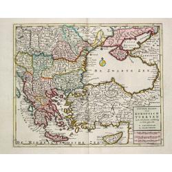
Nieuwe Kaart van Europisch Turkyen.
Izaak Tirion (d. 1769) Amsterdam publisher. His ' Nieuwe en beknopte handatlas' saw 6 editions between before 1740 and after 1784. Also ' Tegenwoordige staat van alle vol...
Date: Amsterdam, 1733
Selling price: ????
Please login to see price!
Sold
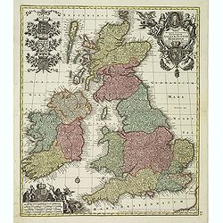
Tabula Novissima Accuratissima Regnorum Angliae, Scotiae, Hiberniae. . .
Decorative map of the British Isles, with 5 large coats of arms, portrait and two large decorative allegorical cartouches. The garlanded cartouche features a portrait of ...
Date: Augsburg, ca.1733
Selling price: ????
Please login to see price!
Sold in 2013
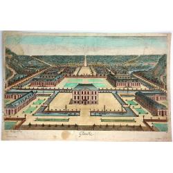
Glinike.
Striking print showing a panoramic view of Gliencke Palace just outside of Berlin, Germany. Published by Johann Georg Merz (1694-1762). Etched by Jean Baptiste Broebes (...
Date: Augsburg, 1733
Selling price: ????
Please login to see price!
Sold in 2016
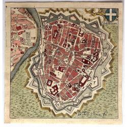
Stat Wienn.
Uncommon little bird's eye view of Vienna, Austria by Adam Desing in 1733. It features a decorative cartouche of the Austrian cross. Desing was an eighteenth century Bene...
Date: Ensdorf, 1733
Selling price: ????
Please login to see price!
Sold in 2018
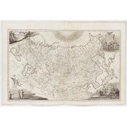
Imperii Russici tabula generalis quo ad fieri potuit / accuratissime descripta opera et studio Ioannis Kyrilow, …
General 1734 large-format map of the Russian Empire compiled by Ivan Kirilov (1689/1695]-1737), the Chief Secretary of the Governing Senate in St. Petersburg in 1734. ...
Date: Saint Petersburg : [Academy of Sciences], 1734
Selling price: ????
Please login to see price!
Sold in 2025
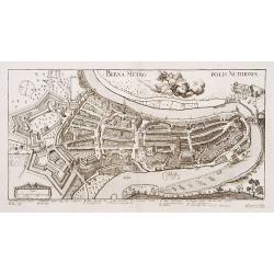
Berna Metropolis Nuithoniae.
An extremely rare plan of Bern after Jos Plepij and engraved by I.I.Turneijsens seel Wittib & Eerben.
Date: Basel, 1734
Selling price: ????
Please login to see price!
Sold in 2009
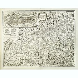
Inclytae Urbis et Ditionis BERNENSIS cum locis finidimis Tabula Geographica et Hydrographica noviter correcta.
Map centered on Bern. Inset: a bird-eye view of the city.VERY RARE!
Date: Basle, 1734
Selling price: ????
Please login to see price!
Sold
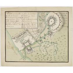
Plan de la ville er fort de Dantzie.
A charming manuscript town-plan of Dantzig, showing the siege of 1734, with a lettered key in upper left corner. The French (E), Russian (F) and Danish (P) positions are ...
Date: Circa, 1734
Selling price: ????
Please login to see price!
Sold in 2013
Carte géographique de la campagne du Haut Rhin pour l'année MDCCXXXIV contenant tous les mouvements marches et contremarches des armées. . .
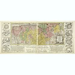
Decorative map in two sheets of the center of Germany south of the River Rhine from Mainz to Kaisersthul. Including towns of Mainz, Frankfurt am Mains, Heidelberg, Heilbr...
Date: Nuremberg, ca. 1734
Selling price: ????
Please login to see price!
Sold in 2015
Nieuwe Kaart van Muskovie of Rusland.
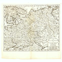
Detailed map of European Russia, far south to the Black Sea and Caspian Sea. Isaac Tirion was born in Utrecht ca. 1705. He came to Amsterdam ca. 1725. Tirion published a ...
Date: Amsterdam, 1734
Selling price: ????
Please login to see price!
Sold in 2017
Le Royaume de France
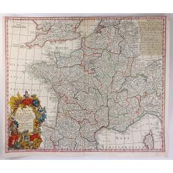
A beautiful map of France, engraved with place names, mountains, rivers, lakes and more. It extends to include Corsica, portions of Spain, Italy, Helvetica and England. T...
Date: Augsburg, 1734
Selling price: ????
Please login to see price!
Sold in 2016
Plan de la baye et ville de Cadis, de la rivière de St. Lucas de Barameda, de ses environs.
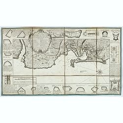
Beautiful map of the city and bay of Cadiz, engraved by Le Tellier in 1734. Decorated with a title cartridge and several vignettes representing the forts and batteries of...
Date: Paris, 1734
Selling price: ????
Please login to see price!
Sold in 2017
Circuli Supe Saxoniae pars Meridionalis sive Ducatus...
A detailed map of the region from Berlin in the north, to Prague in the southeast and Efurt in the west. It features a decorative cartouche including a small vignette of ...
Date: Neurenberg, 1734
Selling price: ????
Please login to see price!
Sold in 2018
Potentissimae Helvetorum Reipubliae Canones Tredecim cum Foederatis et Subjectis Provinciis.
A beautiful Homann map of Switzerland, showing the various religious enclaves. It features a large cartouche with the coats of arms of the cantons, four putti and flags. ...
Date: Neurenberg, 1734
Selling price: ????
Please login to see price!
Sold in 2017
Ingermanlandiae seu Ingriae novissima tabula luci tradita. . .
A detailed map with an imposing title cartouche and a panoramic view of St Petersburg. The region, known as Ingria, was annexed by Peter the Great in 1721 at the conclusi...
Date: Nurenberg, 1734
Selling price: ????
Please login to see price!
Sold in 2021
Royaume de Pologne
Rare copper engraved map of Poland, including parts of Lithuania, Latvia, Belarus and the Ukraine. It shows the area from Wroclaw until Moscow and the Black Sea. Names re...
Date: Paris, 1734
Selling price: ????
Please login to see price!
Sold in 2021
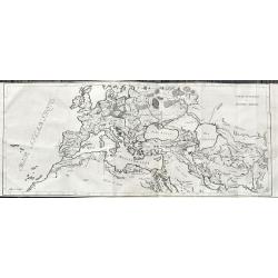
Carte Generale de L'Empire Romain.
Large and rare map of the Roman Empire. It shows the area from the Canary Islands until the Indus river. Including regions, some city names, lakes, rivers, and so on.Publ...
Date: Paris, 1734
Selling price: ????
Please login to see price!
Sold in 2021
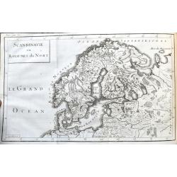
Scandinavie ou Royaumes du Nort.
Scarce map of Scandinavia and the Baltics. It shows the area from Denmark until Moscow, including parts of Poland. Names regions, some cities, lakes, rivers, and so on.Pu...
Date: Paris, 1734
Selling price: ????
Please login to see price!
Sold in 2021
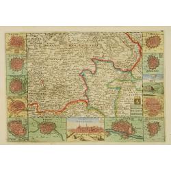
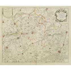
Les Comtez de Hainaut, de Cambresis, et Partie du Comté de Namur..
Uncommon map showing southern Belgium provinces south of Brussels and published by Crepy.Including the towns of Lille, Brussels, Namen, Dinant, Cambray, Mons, etc.
Date: Paris, 1735
Selling price: ????
Please login to see price!
Sold in 2015
Kaart van 't graafschap Henegouwen.
Attractive map centred on the province of Cambrai and Mons, including two views of Mons and Valenciennes. Prepared by Daniel de La Feuille (1702) published in the rare fi...
Date: Amsterdam 1735
Selling price: ????
Please login to see price!
Sold
Mons. [2 prints]
Attractive birds-eye-view of the town of Mons and a map of the battle of 1709 in the area Mons and Maubeuge, with two fighting figures on the right side. Prepared by Dani...
Date: Amsterdam 1735
Selling price: ????
Please login to see price!
Sold
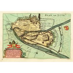
Luik.
An attractive birds-eye-view of the town of Liege, prepared by Daniel de La Feuille (1702) published in the rare first edition of "Kleyne en Beknopte Atlas, of Toone...
Date: Amsterdam 1735
Selling price: ????
Please login to see price!
Sold
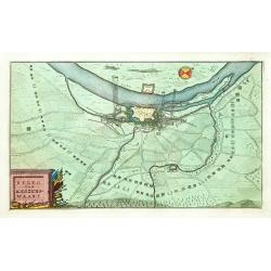
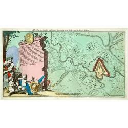
Beleg van Keizerswaart.
An attractive birds-eye-view of the siege of Keizersweert, published in the rare first edition of "Kleyne en Beknopte Atlas, of Tooneel des Oorlogs in Europa.."...
Date: Amsterdam 1735
Selling price: ????
Please login to see price!
Sold
Afbeelding der Battalje .. Moscoviters en de Turken ..
An attractive birds-eye-view from the battle between Russians and Turkish, published in the rare first edition of "Kleyne en Beknopte Atlas, of Tooneel des Oorlogs i...
Date: Amsterdam 1735
Selling price: ????
Please login to see price!
Sold
Kings of Brabant. [2 maps]
Two attractive engravings of the Brabant Dukes, from Tassandre the First till Philip V, published in the rare first edition of "Kleyne en Beknopte Atlas, of Tooneel ...
Date: Amsterdam 1735
Selling price: ????
Please login to see price!
Sold
L\'Allemagne et ses Frontières, comprenant le théatre de la Guerre..
An uncommon map of Germany, including, Poland, Low Countries, Switzerland, Austria and Northern part of Italy.
Date: Paris, 1735
Selling price: ????
Please login to see price!
Sold in 2008
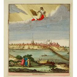
Warschauw
Attractive panoramic view of Warschau and published in the rare first edition of Kleyne en Beknopte Atlas, of Tooneel des Oorlogs in Europa.. .The atlas was published by ...
Date: Amsterdam, 1735
Selling price: ????
Please login to see price!
Sold
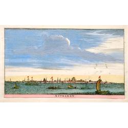
Astrakan.
An attractive panoramic view of Astrakan in Russia. Published in the rare first edition of Kleyne en Beknopte Atlas, of Tooneel des Oorlogs in Europa..The atlas was publ...
Date: Amsterdam 1735
Selling price: ????
Please login to see price!
Sold
Kaart van't Hertogdom Brabant.
Attractive map centered on the province of Brabant, including the maps of Venlo, Leuven, Roermond, Namur, Liege, Leeuw, Breda, Mechelen, Maastricht, s'Hertogenbosch, Antw...
Date: Amsterdam 1735
Selling price: ????
Please login to see price!
Sold
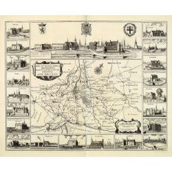
Nova et exacta tabula geographica Salae et Castellaniae Iprensis Anno MDCXXXXI
A "carte à figures"-map the Dioceses of Ypres, with the towns of Ypres and Roeselare. With a panoramic view of the town in top and 20 vignettes of buildings at...
Date: The Hague, Chr. Van Lom, 1732/1735
Selling price: ????
Please login to see price!
Sold in 2011
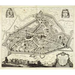
Alostum Vulgo Aelst.
Detailed plan of Aalst from Verheerlijkt Vlaanderen or Flandria Illustrata, engraved by R.Blokhuyse. The author was Antonius Sanderus [Anton Sander] (1586 -1664) who stud...
Date: The Hague, Chr. Van Lom, 1732/1735
Selling price: ????
Please login to see price!
Sold in 2011
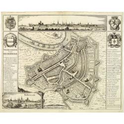
Teneramonda vulgo Dendermonde.
Detailed plan of Dendermonde from Verheerlijkt Vlaanderen or Flandria Illustrata, engraved by R.Blokhuyse. The author was Antonius Sanderus [Anton Sander] (1586 -1664) wh...
Date: The Hague, Chr. Van Lom, 1732/1735
Selling price: ????
Please login to see price!
Sold in 2011
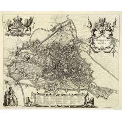
Gandavum Vulgo Gent.
Detailed plan of Gent from Verheerlijkt Vlaanderen or Flandria Illustrata, engraved by R.Blokhuyse. The author was Antonius Sanderus [Anton Sander] (1586 -1664) who studi...
Date: The Hague, Chr. Van Lom, 1732/1735
Selling price: ????
Please login to see price!
Sold in 2011
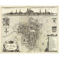
Ypra. (Ypre)
Detailed plan of Ypres from Verheerlijkt Vlaanderen or Flandria Illustrata, engraved by R.Blokhuyse. The author was Antonius Sanderus [Anton Sander] (1586 -1664) who stud...
Date: The Hague, Chr. Van Lom, 1732/1735
Selling price: ????
Please login to see price!
Sold in 2011
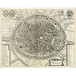
Brugge.
Detailed plan of Bruges from Verheerlijkt Vlaanderen or Flandria Illustrata, engraved by R.Blokhuyse. The author was Antonius Sanderus [Anton Sander] (1586 -1664) who stu...
Date: The Hague, Chr. Van Lom, 1732/1735
Selling price: ????
Please login to see price!
Sold in 2011
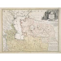
Nova Maris Caspii et Regions Usbeck..
A detailed map of part of Russia, Central Asia centered on the Caspian, Uzbek territory to the east of the Caspian and northern Persia. A finely engraved, uncolored title...
Date: Nuremberg, 1735
Selling price: ????
Please login to see price!
Sold in 2024
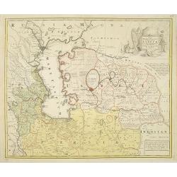
Nova Maris Caspii et Regions Usbeck..
A detailed map of Central Asia centered on the Caspian Uzbek territory to the east of the Caspian and northern Persia. A finely engraved, uncolored title piece showing co...
Date: Nuremberg, 1735
Selling price: ????
Please login to see price!
Sold in 2010
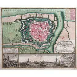
Novissima Ichnographica Delineatio munitissima Urbis et celeberrimi Emporii Ostenda, in Comitatu Flandria Austriaca fitae
Detailed city map of the city of Ostend, surrounded by walls and moats, on the coast of West Flanders, Belgium from Mathaus Seutter's Grosser Atlas. In the lower inset se...
Date: Augsburg, 1735
Selling price: ????
Please login to see price!
Sold in 2010
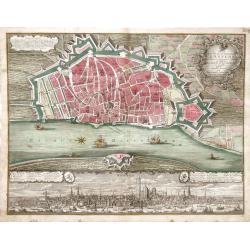
Plan de la Ville et Citadelle d'Anvers Renomee pour fon ports Comerce et edifices La citadelle est des plus fortes au monde, grave en taille douce
Detailed city map of the city of Anvers (now Antwerp), Belgium, surrounded by walls and moats, from Mathaus Seutter's Grosser Atlas. A view of the bustling port of Antwer...
Date: Augsburg, 1735
Selling price: ????
Please login to see price!
Sold in 2010
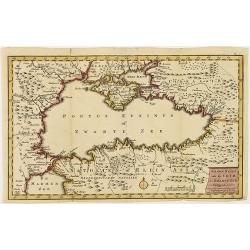
Nieuwe kaart van de Crim de Zwarte Zee en omleggende. . .
Showing the Black Sea and the Marmara Sea with Istanbul. Published in the rare first edition of Kleyne en Beknopte Atlas, of Tooneel des Oorlogs in Europa...The atlas wa...
Date: Amsterdam, 1735
Selling price: ????
Please login to see price!
Sold in 2013
Potentissimo Borussorum Regi Friderico Wilhelmo...
Large 2-sheet map of an area of Lithuania and Eastern Prussia (Russian province of Kaliningrad) stretching from Klaipeda (Memel) in the north to Goldap in the south (a to...
Date: Nuremberg, 1735
Selling price: ????
Please login to see price!
Sold in 2011
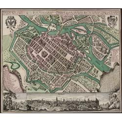
Wratislavia Antiquissima et Celeberrima Ducat. Silesiaci Metropolis ... / Breslau due Uhralte u Hochberuhmte Haupt Statt des Herzogth. Schleisien.
Large, old colored engraved town-plan of Wroclaw by Matthaus Seutter. The overall perspective plan with determination of individual buildings as well as detailed explanat...
Date: Augsburg, 1735
Selling price: ????
Please login to see price!
Sold
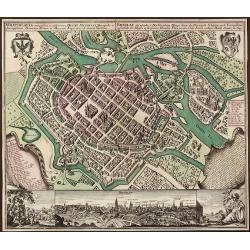
Wratislavia Antiquissima et Celeberrima Ducat. Silesiaci Metropolis ... / Breslau due Uhralte u Hochberuhmte Haupt Statt des Herzogth. Schleisien.
Large, old colored engraved town-plan of Wroclaw by Matthaus Seutter. The overall perspective plan with determination of individual buildings as well as detailed explanat...
Date: Augsburg, 1735
Selling price: ????
Please login to see price!
Sold in 2015
![[untitled] coastal views of Corsica and Porto Venere, Italy.](/uploads/cache/92545-250x250.jpg)

![[Recueil de Voyages au Nord].](/uploads/cache/48310-250x250.jpg)

![Mons. [2 prints]](/uploads/cache/12979-250x250.jpg)
![Kings of Brabant. [2 maps]](/uploads/cache/13016-250x250.jpg)
