Browse Listings in Europe
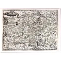
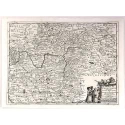
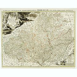
Carte générale du marquisat de Moravie..
Very detailed map of Moravia.
Date: Amsterdam, 1730
Selling price: ????
Please login to see price!
Sold
MEYLAND. F. B. Werner delin. Haered. Ieremiae Wolff excud.
A spectacular panoramic view of Milan designed by Friedrich Bernhard Werner (1690-1776). With the title in a banderol at the head, flanked on the right by the crowned cit...
Date: Augsbourg , ca. 1730
Selling price: ????
Please login to see price!
Sold
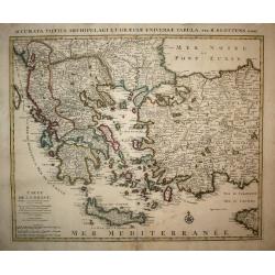
Carte de la Grece.
A striking, large map detailing Greece, the western part of Turkey and extending to show Albania, Macedonia and part of Cyprus. Latin title at top "Accurata Totius A...
Date: Amsterdam, 1730
Selling price: ????
Please login to see price!
Sold in 2008
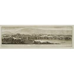
Vue de la ville de Geneve du coté du septentrion.
Decorative panoramic view of Geneva, after Robertus Gardelle and engraved by J.G.Seiller. From Jacob Spon Histoire de Genève. Rectifiée & augmentée par d'amples no...
Date: Geneva, Fabri & Barrillot, 1730
Selling price: ????
Please login to see price!
Sold
Veuë de la ville de Geneve du coté du midy.
Decorative panoramic view of Geneva, after Robertus Gardelle and engraved by Daudet. From Jacob Spon Histoire de Genève. Rectifiée & augmentée par d'amples notes..
Date: Geneva, Fabri & Barrillot, 1730
Selling price: ????
Please login to see price!
Sold
Expeditiones Hannibalis per Hispaniam, Galliam, Italiam, Africam &cc..
Map covering the Eastern part of the Mediterranean Basin as far as the Adriatic Sea. It illustrates the route of Hannibal through Northern Africa and southern Europe as f...
Date: Amsterdam 1730
Selling price: ????
Please login to see price!
Sold
Regnorum Hispaniae et Portugalliae tabula Generailis..
Fine map of Spain and Portugal, including Majorca and Minorca. Exceptionally detailed, but the most remarkable feature of the engraving is the large title-piece showing a...
Date: Nuremberg 1730
Selling price: ????
Please login to see price!
Sold
Status ECCLESIASTICI magnique ducatus Florentini..
Fine example in striking colors, of Central Italy, from Ferrara, Parma and Cremona to Territorium Romanum, centered on Florence and Sienna and showing Rome. Decorative la...
Date: Nuremberg 1730
Selling price: ????
Please login to see price!
Sold
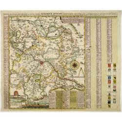
Accurate Geographische delineation der Dioeces und des Ammtes DRESDEN. . .
Uncommon and decorative map of the area 25km around Dresden, reaching to Meissen, Königstein and Dippoldiswalde, prepared by Adam Friedrich Zürner. With an extensive ke...
Date: Amsterdam, 1730
Selling price: ????
Please login to see price!
Sold in 2011
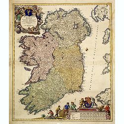
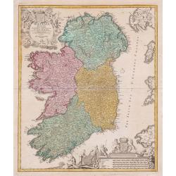
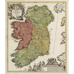
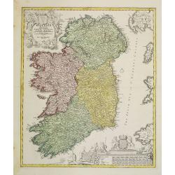
Hiberniae regnum..
A detailed and decorative map of Ireland, with an attractive uncolored title cartouche.
Date: Nurnberg 1730
Selling price: ????
Please login to see price!
Sold
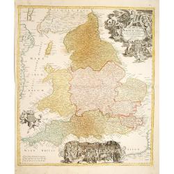
Regnum Angliae..
A detailed and decorative map of England, with an attractive uncolored title cartouche. Made after Visscher.
Date: Nurnberg 1730
Selling price: ????
Please login to see price!
Sold
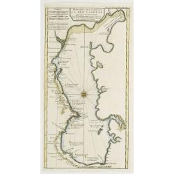
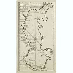
Reduction De La Carte De La Mer Caspienne..
Uncommon map of the Caspian Sea. Engraved by de Berey.
Date: Paris c.1730
Selling price: ????
Please login to see price!
Sold
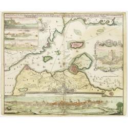
Accurate Vorstellung der Beruhmten... der Königlich Dähnischen..
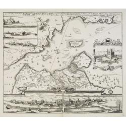
A map of the Sond between Sweden and Denmark and its approach into Copenhagen. With a bird's eye-view of the Danish capital at the bottom.Surrounding the map are three in...
Date: Nuremberg , ca. 1730
Selling price: ????
Please login to see price!
Sold
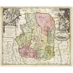
Protoparchiae Mindelhemensis nova tabula geographica...
Detailed map of the area 15km around Mindelheim in southern Germany with large cartouche with cherubs and coat of arms.In the right hand side inset prospect of Mindelheim...
Date: Nuremberg , ca. 1730
Selling price: ????
Please login to see price!
Sold in 2013
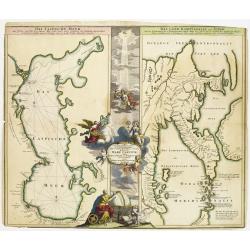
Geographica Nova ex Oriente gratiosissima, duabus tabulis specialissimis contenta, quarum una Mare Caspium..
Map of the Caspian Sea and the peninsula of Kamchatka (Jedso) in northeast Asia on one sheet.Separated by an attractive panel with figurative title cartouche, cherubs, an...
Date: Nuremberg 1730
Selling price: ????
Please login to see price!
Sold
Imperii Moscovitici pars Australis..
Detailed map centered on Moscow.
Date: Augsburg 1730
Selling price: ????
Please login to see price!
Sold
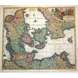
Daniae Regnum cum Ducatu Holstiae et Slesvici.
Fine copper engraved map, hand-colored in outline & wash, featuring Denmark, with its neighbouring counties around the Baltic Sea and Schagerack. Map has a decorative...
Date: Augsburg, 1730
Selling price: ????
Please login to see price!
Sold in 2013
Hiberniae regnum. . .
A detailed and decorative map of Ireland, with an attractive uncolored title cartouche.
Date: Nurnberg 1730
Selling price: ????
Please login to see price!
Sold in 2010
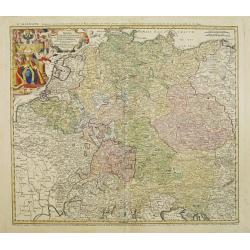
Imperii Romano Germanici. . .
A beautifully colored regional map of the XVIII century German Empire.Ornamental title cartouche in the upper left has been hand colored in recent colors.
Date: Nuremberg, 1730
Selling price: ????
Please login to see price!
Sold in 2008
Milazzo olim Mylae, munitissimum Siciliae castellum.
Exceptional plan and view of the city of Milazzo, in Sicily. One of the most beautiful and sought after views from Seutter. A few imperfections, exceptional old colors, p...
Date: Augsburg, 1730
Selling price: ????
Please login to see price!
Sold in 2013
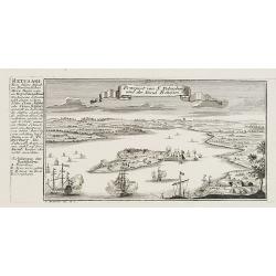
Prospect von S. Petersburg und der Insul Retufari.
Decorative view of Saint Petersburg, with a description and key to the left.
Date: Augsburg, 1730
Selling price: ????
Please login to see price!
Sold in 2008
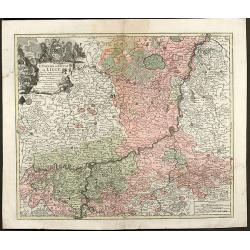
L'Eveche et L'Etat de Liege Avec les appartenances designées dans les pais voisins Delineation nouvelle et exacte Aux depens de Matthieu Seutter
Beautiful cooper engraved map of the central part of Belgium and parts of the Netherlands by M. Seutter. Showing the area around Liège and Maastricht. The nice...
Date: Augsburg, 1730
Selling price: ????
Please login to see price!
Sold in 2009
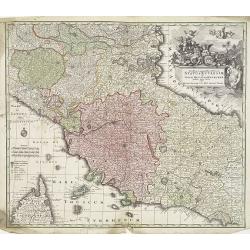
Novissima et accuratissima Delineatio Status Ecclesiae, et Magni Ducatus Hetruriae . . .
Striking map of Central Italy, from Mantua, Cremona, Piacenza and Ferrara in the north to Roma in the South and including Ancon on the Adriatic. Centered on Florence and ...
Date: Paris, 1730
Selling price: ????
Please login to see price!
Sold in 2009
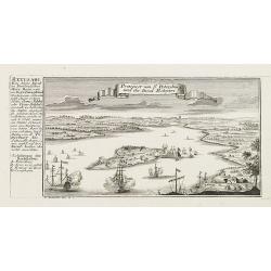
Prospect von S. Petersburg und der Insul Retufari.
Bird's-eye view of the island Retufari, with according to the key the town of Saint Petersburg (A) in background. With a description in German to the left.
Date: Augsburg, 1730
Selling price: ????
Please login to see price!
Sold in 2009
Accurate Vorstellung der Beruhmten ? der Königlich Dähnischen ?
A map of the Sond between Sweden and Denmark and its approach into Copenhagen. With a bird's eye-view of the Danish capital at the bottom.Surrounding the map are three in...
Date: Nuremberg , ca. 1730
Selling price: ????
Please login to see price!
Sold in 2009
Belgii Regii accuratissima Tabula, Auctore Fredericum de Witt. . .ex Officina R. et J. Ottens.
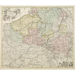
Map of the present-day Belgium. Ottens acquired the copper plate from Visscher and re-issued the map, adding his address to the title cartouche. Uncommon.Joachim Ottens (...
Date: Amsterdam, 1730
Selling price: ????
Please login to see price!
Sold in 2010
Ducatus Geldriae Nova Tabula In Tertachias Noviomagii, Arnhemii, Ruremondae in Zutphaniae Comitatum.
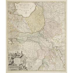
This is a uncommon re-issue of the copperplate of Nicolas Visscher. Including the area of Gelderland, Overijssel and Noord Limburg.Joachim Ottens (1663 - 1719) and his so...
Date: Amsterdam, 1730
Selling price: ????
Please login to see price!
Sold in 2020
Mappa geographica illustris Helvetiorum reipublicæ Bernensis: cum adjacentibus pagorum et dynastiarum confiniis accurate delineata.
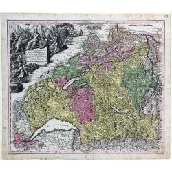
Striking map of Switzerland by Matthew Seutter.
Date: Augsburg, ca. 1730
Selling price: ????
Please login to see price!
Sold in 2010
Novissima et accuratissima XVII Provinciarum Germania Inferior Tabula.
Finely detailed map of the Netherlands by Frederick de Wit. A large legend cartouche is in the top left, is the family crest and dedication to John Munter, mayor of Amste...
Date: Amsterdam, 1730
Selling price: ????
Please login to see price!
Sold in 2010
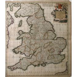
Accuratiffima Angliae Regni et Walliae Principatus Defcriptio Diftinete divifa in Omnes fuas Provincias et Edita.
A detailed map of Great Britain, Scotland and Wales by Frederick De Witt. Map includes islands off the coast of Britain and a small portion of the Northern Coast and the ...
Date: Amsterdam, 1730
Selling price: ????
Please login to see price!
Sold in 2010
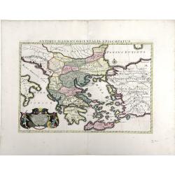
Antiquorum Illyrici Orientalis ...
Fine map of ancient Greece, Crete and Turkey by Sanson and published by the Covens and Mortier firm. Shows many ancient Greek cities and sites, such as Nicropolis, Athens...
Date: Amsterdam, 1730
Selling price: ????
Please login to see price!
Sold in 2010
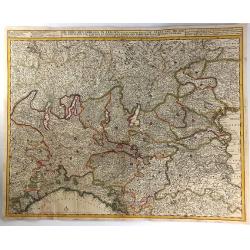
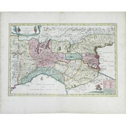
Italia Gallicae Sive Galliae Cisalpinae. . .
Map of the region of Northern Italy, highlighting the areas of Gallia Transpadana, the region inhabited by the Celts between the Padus (now called Po River) and the Swiss...
Date: Amsterdam, 1730
Selling price: ????
Please login to see price!
Sold in 2010
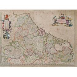
Belgica in Provincias Quatuor et Populos Viginti aut circiter. . .
This map, published by Covens and Mortier, covers present-day Belgium, once known as Belgica, and the surrounding provinces. In the 1st century AD, the provinces of Gaul ...
Date: Amsterdam, 1730
Selling price: ????
Please login to see price!
Sold in 2010
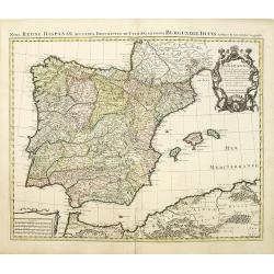
Nova Regni Hispaniae accurata descriptio ad u sum serenissimi Burgundiae ducis.
Prepared by G.de L'Isle.The Amsterdam publishing firm of Covens and Mortier (1721 – c. 1862) was the successor to the extensive publishing empire build by Frenchman Pie...
Date: Amsterdam, 1730
Selling price: ????
Please login to see price!
Sold in 2010
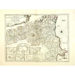
Le Roussillon Subdivisé en Cerdagne, Cap Sir, Conflans, Vals de Carol et de Spir ou se trouve encore le Lampourdan, Faisant Partie de la Catalogne.
Striking map of the region including part of the southeastern French Mediterranean coastline and neighboring Catalonia.This very decorative map includes in the lower left...
Date: Paris, 1730
Selling price: ????
Please login to see price!
Sold
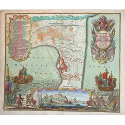
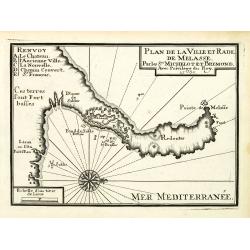
Plan de la Ville et Rade de Melasse.
An attractive chart centered on the Mediterranean. With scale and large compass-rose. Dated 1727, with the privilege of the King. From : Recueil des Plusieurs plans des p...
Date: Marseille, 1730
Selling price: ????
Please login to see price!
Sold in 2018
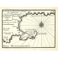
Plan de la Ville et Baye de Gayette.
An attractive chart centered on the Mediterranean. With scale and large compass-rose. Dated 1727, with the privilege of the King. From : Recueil des Plusieurs plans des p...
Date: Marseille, 1730
Selling price: ????
Please login to see price!
Sold in 2013
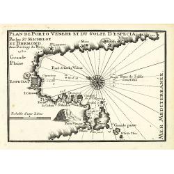
Plan de Porto Venere et du Golfe d'Especia.
An attractive chart centered on the Mediterranean. With scale and large compass-rose. Dated 1727, with the privilege of the King. From : Recueil des Plusieurs plans des p...
Date: Marseille, 1730
Selling price: ????
Please login to see price!
Sold in 2012
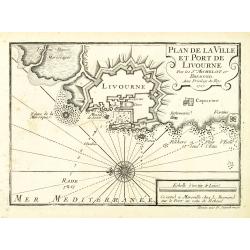
Plan de la Ville et Port de Livourne.
An attractive chart centered on Livorno. With scale and large compass-rose. Dated 1727, with the privilege of the King. From : Recueil des Plusieurs plans des ports et ra...
Date: Marseille, 1730
Selling price: ????
Please login to see price!
Sold in 2016
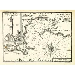
Plan du Port de Gênes.
An attractive chart centered on Genoa, with to the left an image of the 77-meter-tall Lanterna tower. With scale and large compass-rose. Dated 1727, with the privilege of...
Date: Marseille, 1730
Selling price: ????
Please login to see price!
Sold in 2012
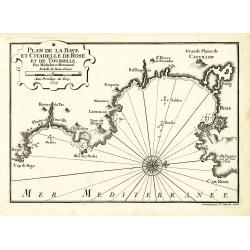
Plan de la Baye et Citadelle de Rose et de Tourrille.
An attractive chart centered on Tourrille and Roses in Catalonia. With scale and large compass-rose. Dated 1727, with the privilege of the King. From : Recueil des Plusie...
Date: Marseille, 1730
Selling price: ????
Please login to see price!
Sold in 2010
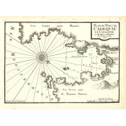
Plan du Port de Cadequié en Catalogne.
An attractive chart centered on the town and Bay of Cadequie or Cadaquez in Catalonia. With scale and large compass-rose. Dated 1727, with the privilege of the King. From...
Date: Marseille, 1730
Selling price: ????
Please login to see price!
Sold in 2010
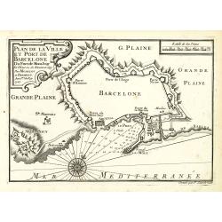
Plan de la Ville det Port de Barcelone.
An attractive chart centered Barcelona. With scale and large compass-rose. Dated 1727, with the privilege of the King. From : Recueil des Plusieurs plans des ports et rad...
Date: Marseille, 1730
Selling price: ????
Please login to see price!
Sold in 2010
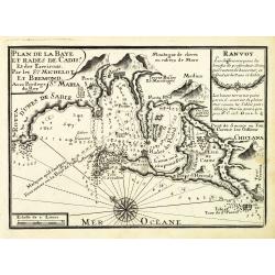
Plan de la Baye et Rade de Cadis.
An attractive chart of Cadiz. With scale and large compass-rose. Dated 1730, with the privilege of the King. From : Recueil des Plusieurs plans des ports et rades de la M...
Date: Marseille, 1730
Selling price: ????
Please login to see price!
Sold in 2012
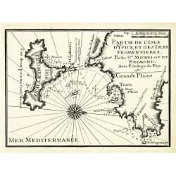
Partie de l'isle d'Yvice, et des isles fromentières.
An attractive chart centered on the south coasts of Ibiza and the Island of Formentera. With scale and large compass-rose. Dated 1730, with the privilege of the King. Fro...
Date: Marseille, 1730
Selling price: ????
Please login to see price!
Sold
Reduction De La Carte De La Mer Caspienne. . .
Uncommon map of the Caspian Sea. Engraved by de Berey.
Date: Paris, c.1730
Selling price: ????
Please login to see price!
Sold in 2011
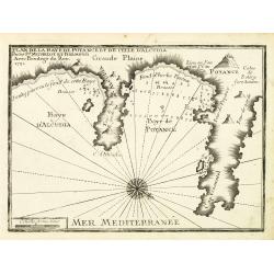
Plan de la Baye de Poyance et de celle d'Alcudia.
An attractive chart centered on the Mediterranean. With scale and large compass-rose. Dated 1727, with the privilege of the King. From : Recueil des Plusieurs plans des p...
Date: Marseille, 1730
Selling price: ????
Please login to see price!
Sold
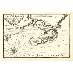
Plan de la Baye et Rades du Sofa.
An attractive chart centered on the Mediterranean. With scale and large compass-rose. Dated 1727, with the privilege of the King. From : Recueil des Plusieurs plans des p...
Date: Marseille, 1730
Selling price: ????
Please login to see price!
Sold in 2022
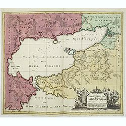
Nova Mappa Geographica Maris Assoviensis Vel De Zabache Et Paludis Maeotidis accurate aeri incis et in luce edita . . .
Striking map of the Sea of Azov with adjacent countries and the Strait of Kerch, with a decorative allegorical cartouche, showing the costumes of the indigenous people of...
Date: Augsburg, 1730
Selling price: ????
Please login to see price!
Sold in 2020
Portugalliae et Algarbiae. [with large Regnum Brasiliae...inset]
Decorative map of Portugal, ornated with a large title cartouche, with Neptune, a queen, cherubs, coats of arms and the Portuguese fleet. In lower right inset map of Braz...
Date: Augsburg, 1730
Selling price: ????
Please login to see price!
Sold in 2013
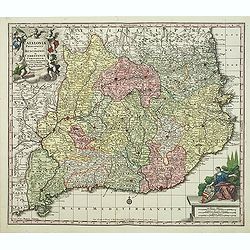
Cataloniae principatus et Ruscionis ae Cerretaniae Comitatuum. . .
Decorative map of Catalonia in southern Spain with a large title cartouche with cherubs and coats of arms.A second state.
Date: Augsburg, 1730
Selling price: ????
Please login to see price!
Sold in 2012
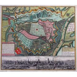
Dantiscum f. Gedanum.../ Dantzig eine berühmte...
SCARCE town-plan of Danzig (Gdansk) in Poland. Superbly engraved and very detailed map of the city and the fortifications. Also showing fields, woods, a few buildings, ou...
Date: Augsburg, 1730
Selling price: ????
Please login to see price!
Sold in 2013
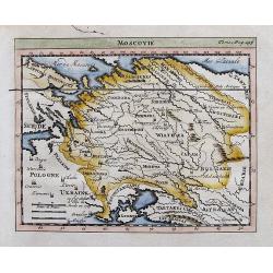
Moscovie.
Attractive small map of parts of Russia. Detailed map, includes Riga, Kiev, Moscow, Astrachan, Kazan, Perm, Smolensk, Crimea, many rivers, etc.
Date: ca. 1730
Selling price: ????
Please login to see price!
Sold in 2012
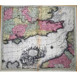
La plus grande partie de la Manche, qui contient les cotes d' Angleterre et celles de France...
Superb map of the English Channel, also showing England including Gloucester, Oxford, London and Colchester, with the Post Roads marked. With French coast including Calai...
Date: Augsburg, 1730
Selling price: ????
Please login to see price!
Sold in 2012
Hiberniae regnum. . .
A detailed and decorative map of Ireland, with an attractive uncolored title cartouche.
Date: Nurnberg 1730
Selling price: ????
Please login to see price!
Sold in 2012
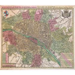
Le Plan de Paris, ses Faubourgs et ses Environs...
A spectacular city plan of Paris illustrating with deepest detail churches, palaces, streets, gardens, etc. The work embellished by a compass rose and the royal coat of a...
Date: Augsburg, 1730
Selling price: ????
Please login to see price!
Sold in 2014
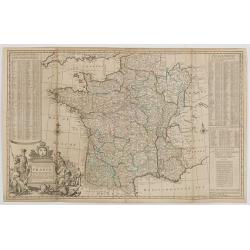
A NEW AND EXACT MAP OF FRANCE...
Decorative two-sheet map of France. Very detailed with towns, rivers, etc. Postal roads are marked with distances between points indicated in leagues. Battle sites in whi...
Date: London, c1730
Selling price: ????
Please login to see price!
Sold in 2014
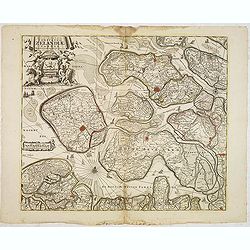
Nova et accurata cominatus Zelandiae Tabula . . .
Fine and detailed map of the province of Zeeland. Originally issued by Cornelis Allard, now re-published with updated address by the Amsterdam publishers' Covens and Mort...
Date: Amsterdam, 1730
Selling price: ????
Please login to see price!
Sold in 2013
Hiberniae regnum ...
A detailed and decorative map of Ireland, with attractive cartouches.
Date: Nurnberg, 1730
Selling price: ????
Please login to see price!
Sold in 2013
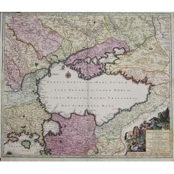
Nova et accurata Tartariae Europae seu minoris et in specie Crimeae delineatio geographica. . .
Map depicting the Black Sea with the peninsula Krim and its bordering countries, showing Asia Minor,Turkey, Bulgaria, Beesarabia, Armenia, Georgia and Ukraine etc.
Date: Augsburg, 1730
Selling price: ????
Please login to see price!
Sold in 2014
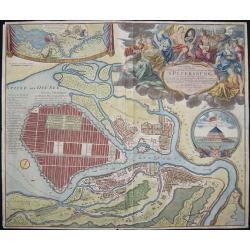
Topographische Vorstellung der Neuen Russischen Haupt-Residenz und See- Stadt St. Petersburg sammt ihrer zu erst aufgerichten Festung
Map shows a city map of St. Petersburg, a beautiful cartouche, a location map of St. Petersburg and Chronschloss. Homann was born in Oberkammlach near Kammlach in the Ele...
Date: Nuremberg, 1730
Selling price: ????
Please login to see price!
Sold in 2015
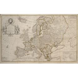
To Her Most Sacred Majesty Carolina Queen of Great Britain, France and Ireland, This Map of Europe According to the Newest and most Exact Observations is most Humbly Dedicated by your Majesty's most Obe
This edition was published by J. Bowles, T. Bowles, P. Overton, J. King, in London c.1730. Two sheets conjoined, total 595 x 975mm. Moll's large format map of Europe, ded...
Date: London, 1730
Selling price: ????
Please login to see price!
Sold in 2017
Novissima Tabula Regni Hungariae et Regionum . . . ut Transilvaniae. Valachiae. Moldaviae Serviae. Romaniae. Bulgariae Bessarabiae. Croatiae. Bosniae. Dalmatie. Slavoniae . . .
A large and impressive map of Central Europe including Hungary, the Danube Delta, Transylvania, Walachia, Moldavia, Croatia, Bosnia, Dalmatia, Slavonia, Morlachia and the...
Date: Amsterdam, 1730
Selling price: ????
Please login to see price!
Sold in 2015
Die Stadt Terky. (Tarki)
Plan of Tarki, with a description and key to the left. Tarki is an urban locality under the administrative jurisdiction of Sovetsky City District of the City of Makhachka...
Date: Augsburg, 1730
Selling price: ????
Please login to see price!
Sold in 2015
Accurata Designatio Celebris Freti prope Andalusiae Castellum Gibraltar...
Very decorative large-scale map of southern Spain. Shows the area from Cadiz and Jerez to Malaga and Motril in great detail. Includes two inset maps of Minorca and Ceuta,...
Date: Augsburg, 1730
Selling price: ????
Please login to see price!
Sold in 2016
Insula et Regnum Sardiniae,. . .
Fine map of Sardinia, showing the island in great detail. Decorated with a large title cartouche with figures and animals. Further enhanced with a large coat of arms, dis...
Date: Augsburg, 1730
Selling price: ????
Please login to see price!
Sold in 2015
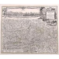
Carinthia Ducatus...
A very decorative and detailed map of Carinthia in Austria. Filled with place names, roads, rivers, lakes, mountains,... A fine large panorama of the city of Klagenfurt i...
Date: Augsburg, ca. 1730
Selling price: ????
Please login to see price!
Sold in 2017
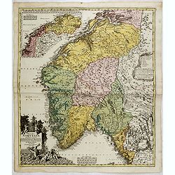
Norvegiae Accurata Tabula in qua Praefecturae quinque Generales. . .
Johann Baptist Homann's well-engraved map has a large decorative cartouche. Detailed map of Norway. The southern part of the country is the focus of the main map, while t...
Date: Nuremberg, ca. 1730
Selling price: ????
Please login to see price!
Sold in 2020
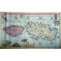
Nieuwe en Nette Afteekening van het Eyland Corsica en het Eyland Elba vertoonende alle desselfs Havenen, Steeden en Rivieren. Nieuwe en Nette Afteekening van het Eyland of Koninkryk Sardinia vertoonende alle desselfs Zee Havenen Anker Plaetsen Rivier ...
An extremely detailed, large sea chart of Corsica, Sardinia and Elba, with many sailing ships, compass roses, decorative cartouches, coat of arms, etc.One of the most dec...
Date: Amsterdam, 1730
Selling price: ????
Please login to see price!
Sold in 2020
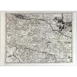
Cercle du Haut Rhin...
A detailed map by Pierre van Der Aa of the German province of Haut Rhin, following the new observations of the “Academie Royale des Sciences”. It has a beautiful cart...
Date: Leiden, 1730
Selling price: ????
Please login to see price!
Sold in 2016
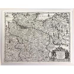
Cercle de la Basse Saxe.
A detailed map by Pierre van Der Aa of the German province of Lower Saxony, following the new observations of the “Academie Royale des Sciences”. It has a beautiful c...
Date: Leiden, 1730
Selling price: ????
Please login to see price!
Sold in 2016
Cercle de Franconie.
A detailed map by Pierre van Der Aa of the German province of Franconie, following the new observations of the “Academie Royale des Sciences”. It has a beautiful cart...
Date: Leiden, 1730
Selling price: ????
Please login to see price!
Sold in 2016
Le Duche de Lunebourg.
A detailed map by Pierre van Der Aa of the German province of Lunebourg following the new observations of the “Academie Royale des Sciences”. It has a beautiful carto...
Date: Leiden, 1730
Selling price: ????
Please login to see price!
Sold in 2016
De Stoel des Oorlogs in Italien...
A large and detailed map of Northern Italy by Visscher & Schenk. It was printed on two conjoined sheets of paper. It shows the centre of the war in Italy in the state...
Date: Amsterdam, ca. 1730
Selling price: ????
Please login to see price!
Sold in 2016
S.R.I. Cirulus Rhenanus Superior.
A beautifully detailed Homann Heirs map of Upper Rhine region. Covers from Coblentz eastward as far as Schweinfurt; northwards as far as Gottingen; and southwards as far ...
Date: Nuremberg, 1730
Selling price: ????
Please login to see price!
Sold in 2016
Exactissima Palatinatis ad Rhenum.
A beautifully detailed Homann Heirs map, covering southern part of the river Rhine. Includes the towns of Frankfurt, Heidelberg, Neustadt, Saarbrücken, Mainz, etc.Enhanc...
Date: Nuremberg, 1730
Selling price: ????
Please login to see price!
Sold in 2016
Transylvaniae, Moldaviae, Walachiae, Bulgariae nova et accurata Delineatio, Magnam Partem Hodierni Theatri Bellici ob oculos ponens opera et fumtibus .
Uncommon map showing Southeast Europe with Transylvania, Moldavia, Bulgaria and the Walachei. With the mouth of the river Danube into the Black Sea. In the upper right co...
Date: Nurember, 1730
Selling price: ????
Please login to see price!
Sold in 2016
Mappa Geographica in qua Ducatus Lotharingiae et Barr
A very decorative map of the Lorraine region in France. Detail includes that of the towns, cities, and topography. It has a title cartouche showing people hunting and mak...
Date: Nuremberg, 1730
Selling price: ????
Please login to see price!
Sold in 2016
Bavariae Circulus et Electorat In suas quasque Ditiones tam cum Adiacentibus Quam Insertis Regionibus
This map covers a region including Nuremberg, Passau, and Innsbruck. It is densely packed with information, lakes, rivers, towns, and villages. A large figurative title ...
Date: Nuremberg, 1730
Selling price: ????
Please login to see price!
Sold in 2016
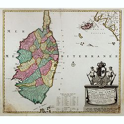
Nouvelle carte de l'Isle de Corse apartenante a la Republique de Genes. . .
Map of Corsica with a splendid baroque cartouche. Carte de la Corse, sur laquelle figure le blason de l’Ile divisé en deux parties égales, la moitié droite est rése...
Date: Amsterdam, 1730
Selling price: ????
Please login to see price!
Sold

![Portugalliae et Algarbiae. [with large Regnum Brasiliae...inset]](/uploads/cache/32345-250x250.jpg)
