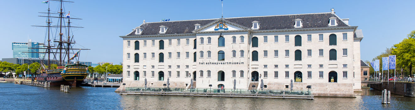
Browse Listings in Map-fair Highlights
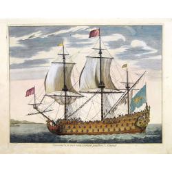
Vaisseau du premier rang portant pavillon d'amiral.
1695 MORTIER, P. - An antique print of a naval vessel engraved by Jan van Vianen after a design by Henri Sbonski de Passebon
Date: Amsterdam, 1695
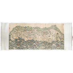
A rare and impressive pictorial Qing Empire map of the western part of Taiwan.
1850 MANUSCRIPT ON PAPER - Showing the west coast of Taiwan and the thóo-gû-kau (土牛溝, Dirt bull ditch) between the Qing territory and the Aboriginal territory.
Date: ca. 1850
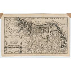
Nova et accurata Foederatarum Orovinciarum Inferioris Germaniae descriptio… 1615 P.Kaerius.
The oldest known map of the Dutch Republic. The extremely rare 1615 edition of the map of the Netherlands. The map is better from the Cloppenburg editions of the Atlas M...
Date: J.Janssoius, Arnhem, 1615
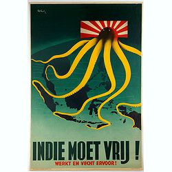
Indie moet vrij vecht ervoor.
1944 War propaganda poster by Patrick (Pat) Cokayne Keely. In the bottom: "Indie Moet Vrij! Werkt en Vecht Ervoor!
Date: London, J.Haworth / Brother Ltd, 1944
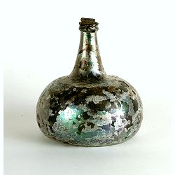
Wine bottle
The Onion-shaped wine bottle is made of green glass and is sealed with a cork and wax, which holds the cork in place. The many years the bottles spent underwater have lef...
Date: Dutch East India Company, Netherlands, ca. 1735-1750
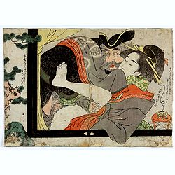
Dutchman and a Maruyama prostitute.
An explicit scene of a Dutchman and a Maruyama prostitute featuring a gray-bearded westerner coupling with a courtesan. The woman protests that she doesn't understand wha...
Date: Late Edo, 1790
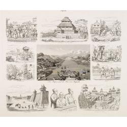
Der Hafen und die Bai von Nagasaki.
A bird's-eye view showing Deshima and Nagasaki Bay with Dutch ships and two Dutch flags on Deshima.
Date: Germany, 1850
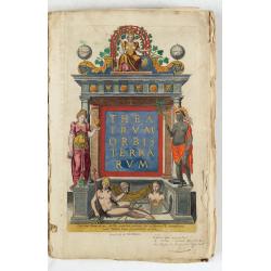
Theatrum Orbis Terrarum.
1598 ORTELIUS, A. - An extremely rare Dutch edition of Ortelius' Theatrum Orbis Terrarum, illustrated with 92 maps, 91 maps numbered 1-91, in beautiful contemporary color...
Date: (Amsterdam, Corn. Claesz.) ?, 1598
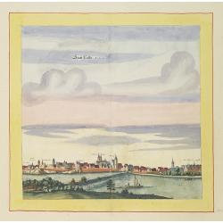
Statt Talbe an der Saal. (Calbe)
1642 MERIAN / BEEK, A. _- Very rare view of the town of Calbe a.d. Saale. Mrs. Anna Beek enlarged the print and mounted it on larger paper; she colored it in pastel color...
Date: The Hague, ca. 1642
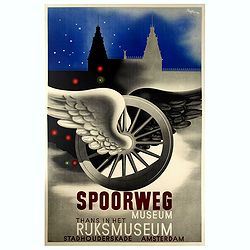
Spoorweg Museum Thans in Het Rijksmuseum.
1942 - Art Deco style poster by Carolus Adrianus Maria Thole for the Railway Museum, now in the Rijksmuseum
Date: Amsterdam, 1942
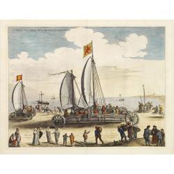
Currus Veliferi Illmi. Pr. Mauritii Nassouvii. (Prince Maurits' sailing-carriage, designed by Simon Stevin. )
1649 BLAEU, J. - The big sailing-carriage designed by Simon Stevin for the Prince of Orange, which could seat 28 persons and reach a speed of seven miles per hour
Date: Amsterdam, 1649
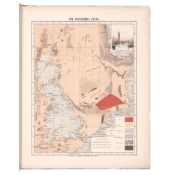
The piscatorial atlas of the North sea, English and St Georges Channels.
1883 O. T. OLSEN - One of the first publications on the North Sea, English and St. George’s Channels fisheries
Date: Londres, Taylor et Francis, 1883
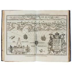
Le Nouveau miroir des voiages marins de la navigation de la mer occidentale & orientale.
1600 WAGHENAER, L.J. - A second and final French edition of this important sea atlas.
Date: Antwerp, Chez Iean Bellere, a l’Aigle d’or, l’An M.CCCCCC - 1600
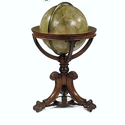
NEWTON'S New and Improved TERRESTRIAL GLOBE Accurately delineated from the observations of the most esteemed NAVIGATORS AND TRAVELLERS to the Present Time. . .
1867 NEWTON and SON - A Victorian 20-inch Library globe on an exceptionally carved mahogany tripod stand with scrolling acanthus legs and a compass
Date: London, January 1, 1867
![[Manuscript chart on vellum of the Java Sea]](/uploads/cache/33613-250x250.jpg)
[Manuscript chart on vellum of the Java Sea]
1743 DE GRAAF, I. - Manuscript charts on vellum, signed by Isaac de Graaf, showing the Java Sea, centered on Java, with Borneo and parts of Sumatra and Bali
Date: Amsterdam, 1743
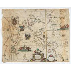
Wassende graade paskaart vertonende alle de Zeekusten van Europa, de geheele middelandsche Zee…
1658 NIEROP (Dirck Rembrandtsz van) - GOOS (Pieter) - Chart on vellum showing Europe, which played a role in the quest for longitude, executed by Christiaan Huygens in 16...
Date: Amsterdam, 1658
