Popular Listings in Europe
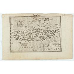
Candia.
1606 LANGENES, B. / BERTIUS, P. - An attractive miniature map of Crete
Date: Amsterdam, 1606
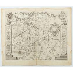
Quarta pars Brabantiae cujus caput Sylvaducis . . .
1645 BLAEU, W. - The final and most decorative third state. The coat of arms of Brabant and 's-Hertogenbosch appears on the map
Date: Amsterdam, 1645
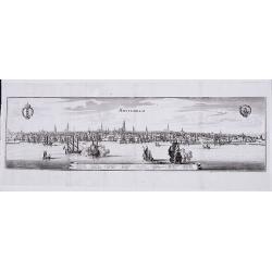
Amsterdam.
1659 MERIAN, M. - Panoramic view of Amsterdam, showing ships at anchor along with barges on the Amstel
Date: Frankfurt, 1659
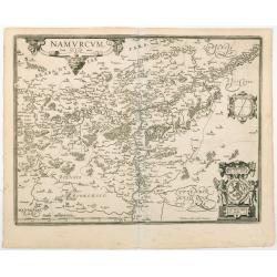
Namurcum Comitatus.
After 1612 ORTELIUS, A. / GALLE, Th. - The last and very rare state with the signature of Theodorus Galle.
Date: Antwerp, after 1612
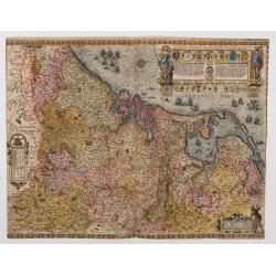
Inferioris germaniae provinciarum nova descriptio.
1635 BLAEU, W. - Only known example, in full contemporary color, of this map charting the Seventeen Provinces
Date: Amsterdam, 1604 but c. 1635
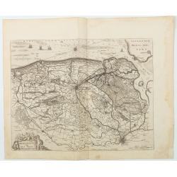
Franconatus Vulgo Het Vrye.
Including the towns of Deventer, Cleve, Diepenheim, Groll and Breedevoordt. Only included in Joan Blaeu's Atlas Major. The "Vrije" (The Free) was the largest an...
Date: Amsterdam, 1664
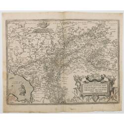
[☺Lot of 2 maps] Gelriae, Cliviae, Finitimorumque Locorum Verissima Descriptio.
1612 ORTELIUS, A. / GALLE, Th. - Extremely rare map of Geldria and Limburg, from the very rare Galle edition of the Ortelius Atlas, published after 1612
Date: Antwerp, after 1612
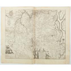
Tertia Pars Brabantiae . . .
West is at the top. In the lower left, the cartouche is embellished with male figures holding compasses, a globe, a book, and winckel-kruis. At the bottom, right of the c...
Date: Amsterdam, 1650
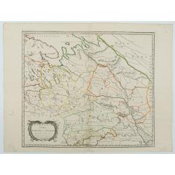
Sarmatia utraque europaea et asiatica. . .
Historical map of the European part of Russia with Ukraine
Date: Paris, 1654
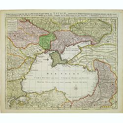
Nouvelle Carte de la Petite Tartarie et la Mer Noire, montrant les Frontieres de l'Impératrice de Russie et de l'Empereur des Turcs, tant en Europe qu'en Asie, Dessigné selon la proposition de G. De L'Isle et d'autres Auteurs.
1792 ELWE, J. B. - Shows Ukraine and the Black Sea
Date: Amsterdam, 1792
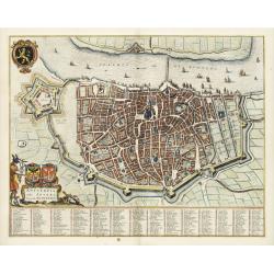
Antverpia, Gallis Anvers. Vernacule Antwerpen.
1649 BLAEU, J. - Antverpia, Gallis Anvers. Vernacule Antwerpen.
Date: Amsterdam, 1649
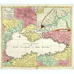
Nova Mappa Maris Nigri et Freti Constantino Politani. . .
1760 LOTTER, T.C. - Nova Mappa Maris Nigri et Freti Constantino Politani. . .
Date: Augsburg, ca. 1760
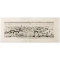
Profil de la Ville de Hafnie vulgairement Copenhagen Cappitalle du Royaume de Danemarck.
Extremely rare panoramic view of Copenhagen
Date: Paris, 1644 -1648
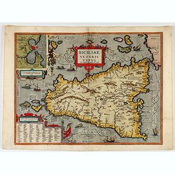
Siciliae Veteris Typus.
1587 ORTELIUS, A. - Map of ancient Sicily
Date: Antwerp, 1587
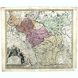
Regni Poloniae, ducatus Mazoviae et province Cujaviae / descriptio emendata per R. & I. Ottens
1725 OTTENS, R. / J. - Regni Poloniae, ducatus Mazoviae et province Cujaviae / descriptio emendata per R. & I. Ottens
Date: Amsterdam, 1725
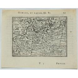
Oswiec, et Zator.
1577 ORTELIUS, A. - Miniature map depicting the Duchies of Oświęcim and Zator in southern Poland
Date: Antwerp, 1577
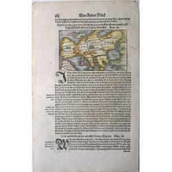
Von dem Europa, das zu unsern zeiten die Christenheit under im begreifft und etwas von der Türkey.
1544 MÜNSTER, S. - An attractive map of Europe
Date: Basel, 1544

Carte des Courones du Nord. [2 sheets]
1706 DE L'ISLE, G. - Carte des Courones du Nord. [2 sheets]
Date: Paris, 1706
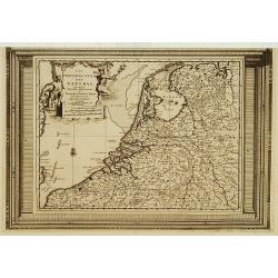
Les Provinces Unies des Pays Bas, suivant les nouvelles observations. . .
1728 VAN DER AA, P. - Showing the Seven United Provinces of the Dutch Republic
Date: Amsterdam, 1728
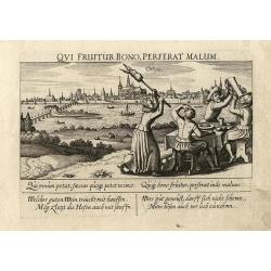
Orleans
1642 MEISNER, D. - Small copper engraving of Orleans in France
Date: Frankfurt, ca.1642
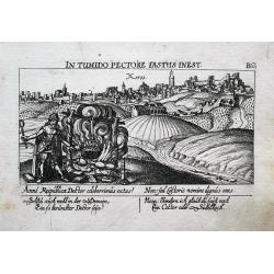
Xeres.
1630 MEISNER, D. - A view of Jerez-de-la-Frontera
Date: Nuremberg, ca. 1630
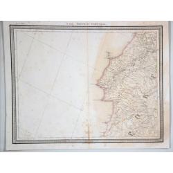
N 151. Partie de Portugal.
1880 VANDERMAELEN, Ph. - N 151. Partie de Portugal.
Date: Brussells, 1880
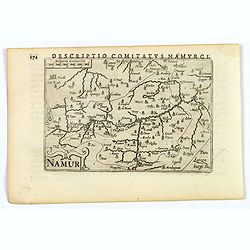
Namur.
1606 LANGENES, B. / BERTIUS, P. - A lovely miniature map of Namur.
Date: Amsterdam, 1606
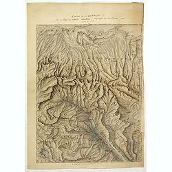
Carte de la Georgie et du Pays des Ossetes, Tcherkesses et Mitzdcheghi, Par Jules Klaproth (1823).
1823 KLAPROTH, H.J. - Detailed manuscript map of Georgia, based upon an 1823 map by Klaproth
Date: Paris, ca. 1823


