Browse Listings in Europe > Switzerland
Basilae [ Basle, CCXLIIII ]
A very fine view of Basle (253x520 cm). Verso showing the councils of Florence and Basle and two portraits.Page from the richest illustrated Incunabel, the famous: Nuremb...
Date: Nuremberg, 12 July 1493
[Lot of 7 leaves] Curiensis civitas, Rhetorum…/Valesia/Solothurensis/Clarissimae civitatis/Genevensis/Basiliensis/Ursina…Bernensis/Sedunensis/Designatio …Badensis.
Seven text leaves illustrated with wood block bird's-eye views of Chur, Solothurn, Geneva, Basel, Bern, Sitten, Baden and one single sheet map of the Valais. From the 155...
Date: Basel, 1552
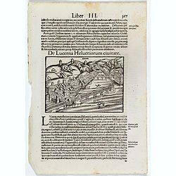
De Lucerna Helvetiorum Civitate. (Luzern)
One Latin text page with a wood cut bird's-eye view of Luzern (147x157mm). From Münster's Cosmographia Universalis. The Cosmographia by Sebastian Münster from 1544 is t...
- $50 / ≈ €43
Date: Basle, ca. 1564
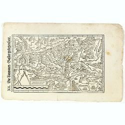
XII. Laurater Basler gelegenheit.
Very early wood cut printed regional map of Switzerland with Basel region.Originally engraved in 1548. The map was prepared by Johannes Stumpf (1500-1576). Included in &q...
Date: Zurich, Christoffel Froschover, 1548,1552-1566
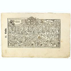
XI. Wallis.
Very early wood cut printed regional map of Switzerland with Wallis region.Originally engraved in 1548. The map was prepared by Johannes Stumpf (1500-1576). Included in &...
Date: Zurich, Christoffel Froschover, 1548,1552-1566
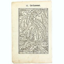
IX. Die Lepontier.
Very early wood cut printed regional map of Switzerland.Originally engraved in 1548. The map was prepared by Johannes Stumpf (1500-1576). Included in "Landtaflen. Hi...
Date: Zurich, Christoffel Froschover, 1548,1552-1566
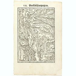
VIII. Das Wiflispurgergow.
Very early wood cut printed regional map of Switzerland with Lake Geneva.Originally engraved in 1548. The map was prepared by Johannes Stumpf (1500-1576). Included in &qu...
Date: Zurich, Christoffel Froschover, 1548,1552-1566
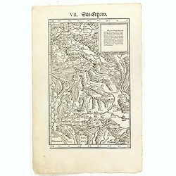
VII. Das Ergow.
Very early wood cut printed regional map of Switzerland centered on Ergow.Originally engraved in 1548. The map was prepared by Johannes Stumpf (1500-1576). Included in &q...
Date: Zurich, Christoffel Froschover, 1548,1552-1566
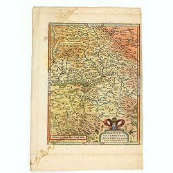
Basiliensis territorii descriptio nova.
Left hand map centered on Basle, east to top. With credit to Sebastian Münster in title cartouche.
- $200 / ≈ €170
Date: Antwerp, 1573
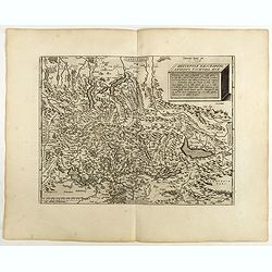
Helvetiae Descriptio . . .
A fine map based upon a map by the Swiss cartographer Aegidicus Tschudi of 1538.Dare to go in Black. All early maps are printed in black and white and many were kept that...
Date: Antwerp, 1598
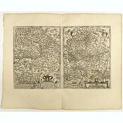
Basiliensis territorii descriptio nova./Circulus sue Liga. . .
Left-hand map centered on Basel, east to top. With credit to Sebastian Münster in the title cartouche. Right-hand map with Boden See, Strasbourg and Augsburg. The map wa...
- $300 / ≈ €255
Date: Antwerp, 1598
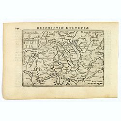
Helvetia.
A lovely miniature map of Switzerland, published by Petrus Bertius, in Amsterdam at the beginning of the seventeenth century.Full of facinating topographical detail, and ...
Date: Amsterdam, 1606
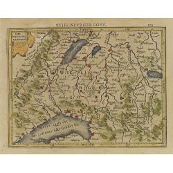
Das Wiflispurgergou.
Reduced version of Mercator''s map of the southwestern part of Switzerland. Shows Geneva, Lake Geneva, Lake Neuchatel, Lake Biel, Bern, Freiburg, Lake Thuner, etc.From th...
- $75 / ≈ €64
Date: Amsterdam, 1608
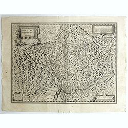
Alpinae seu Foederatae Rhaetiae . . .
Extremely rare first edition of this beautiful map of Graubünden Canton in Switzerland. Including Chur, Davos, St.Moritz, etc.Jodocus Hondius Jr. planned to produce a ne...
- $750 / ≈ €638
Date: Amsterdam, 1629
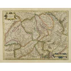
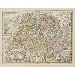
Helvetia cum finitimis regionibus confoederatis.
Detailed and finely engraved map of Switzerland.
- $350 / ≈ €298
Date: Amsterdam, 1630
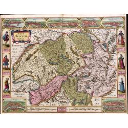
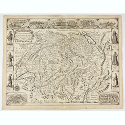
Nova Helvetiae Tabula.
A most decorative "carte à figures" map with panoramic views of Lucern, S.Gal, Bern, Solothurn, Schafhausen in upper border and Basel and Zurich in lower left ...
Date: Amsterdam, 1630
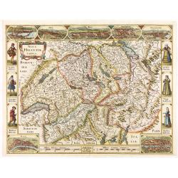
Nova Helvetiae Tabula.
A most decorative "carte à figures" map with panoramic views of Lucern, S.Gal, Bern, Solothurn, Schafhausen in upper border and Basel and Zurich in lower left ...
Date: Amsterdam, 1630
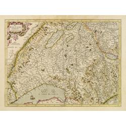
Das Wiflispurgergov.
In lower right Geneva and Lake Geneva with Lausanne. In center of map the cantons of Fribourg and Bern.
- $350 / ≈ €298
Date: Amsterdam 1630
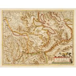
Argow cum parte merid. Zurichgow.
Nice map of Canton Aargau and parts of the Cantons Schwyz, Zürich and Glarus. Includes the cities of Bern and Luzern.Based on the cartography of Gerard Mercator and very...
- $100 / ≈ €85
Date: Amsterdam, 1634
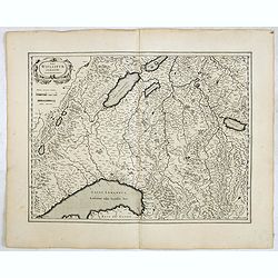
Das Wiflispurgergow.
Detailed map of South-western Switzerland after Gerhard Mercator's map of the same. With ornamental title cartouche and German text on the verso.It shows Geneva, Lake Gen...
Date: Amsterdam, 1634
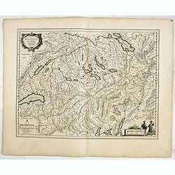
Helvetia cum finitimis regionibus confoederatis.
Detailed and finely engraved map of Switzerland with a pair of fine cartouches.From early on Willem Jansz. Blaeu aimed of publishing an atlas to compete with the Hondius-...
Date: Amsterdam, 1634
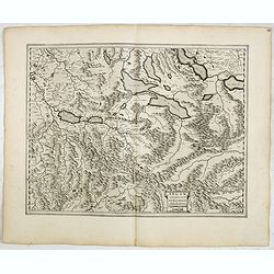
Zurichgow et Basiliensis Provincia [ Zurich].
Finely engraved map including the towns of Basel, Lucerne, Zurich, etc.
- $400 / ≈ €340
Date: Amsterdam, 1635
Argow .
Centered on the Bernese and Lucerne. Including the towns of Lucerne, Bern and Thuner- and Lucerner See. Prepared by Gerard Mercator.
Date: Amsterdam, 1639
Helvetia cum finitimis regionibus confoederatis.
A typically detailed and finely engraved map of Switzerland by Blaeu, including the cities of Basel, Zürich, Bern, Lucerne, Fribourg, etc. The map is embellished with tw...
Date: Amsterdam, 1643
Carte generale des treze cantons de Suisses. Valley Ligues Grise, Maison Dieu et Valteline. 1654
Rare figured border map of Switzerland. In lower corners views of Basel and Zurich. In the top views of Luzern, St. Gallen, Bern, Solothurn and Schaffhausen. In the left ...
Date: Paris, ca. 1654
[Map of river Rhine.]
Map of the River Rhine from Boden See until Wesel. Left hand part of a 2-sheet map.
Date: Amsterdam, 1660
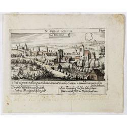
S. Iulius.
A very nice view of the castle. On the foreground, several frogs are depicted with a verse in two languages underneath the picture.The poet and topographer from Comothau,...
- $60 / ≈ €51
Date: Frankfurt 1623-1678
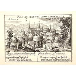
S. Iohann. Plus vini abutitur quam temperanter.
A very nice view of S.Johann Kloster with in the foreground, a wolf eating grapes. The Abbey of Saint John is an ancient Benedictine monastery in the Swiss municipality o...
- $70 / ≈ €60
Date: Frankfurt, 1623-1678
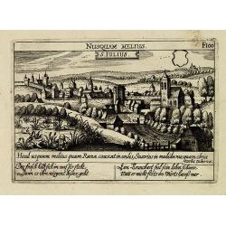
S. Iulius.
A very nice view of the town. In the foreground, a bridge with several frogs are depicted with a verse in two languages underneath the picture.The poet and topographer fr...
- $80 / ≈ €68
Date: Frankfurt, 1623-1678
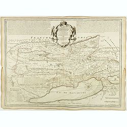
Carte de la souveraineté de Neuchatel et Vallangin.
Map of the canton of Neuchatel in Switzerland engraved by Liébaux fils. No address. Decorated with a title cartouche composed of 2 eagles and a crown, and with a wind ro...
Date: Paris, c. 1710
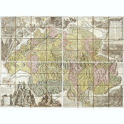
Nova Helvetiae tabula geographica . . .
Johann Jakob Scheuchzer (August 2, 1672 – June 23, 1733) was a Swiss scholar born at Zürich. In 1712 he published, a map of Switzerland in four sheets (scale 1/290,000...
- $1750 / ≈ €1489
Date: Amsterdam, 1712
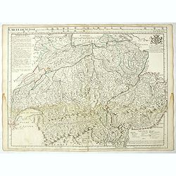
Carte de Suisse ou sont les Cantos de. . .
General map of Switzerland with all the cantons good detail, with the imprint "A Paris Chez l’Auteur sur le Quai de l’Horloge Avec Privilège Aout 1715". In...
Date: Paris, Aout 1715
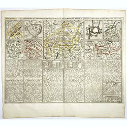
Carte des Grisons et des Communautez qui Composent leurs Ligues, les Etats de St. Gal, Neuchastel, Geneve et Quelques Autres Etats Alliez des Suisse.
This finely engraved sheet provides the history of various cities and regions allied with Switzerland at the beginning of the eighteenth century. The top section of the s...
- $150 / ≈ €128
Date: Amsterdam, 1720
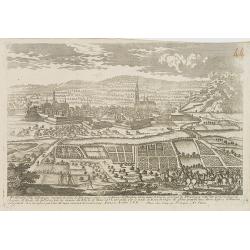
Fribourg Ville d'Allemagne Capitale du païs de Brisgaw.
A very RARE panoramic of the city of Fribourg. The plate is numbered in red pencil in the upper right corner.Engraved by Pierre Aveline (Paris, c.1656 - 23 May 1722). He ...
- $250 / ≈ €213
Date: Paris, 1690-1720
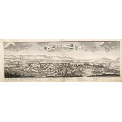
Bern in der Schweitz.
Very fine large-scale panoramic view of Bern. With a numbered key (1-25) of principal buildings in town. ¤
Date: Augsburg, 1740
[Lot of 3 maps] Carte de la Souveraineté de NEUCHATEL et VALLANGIN. Plus Mercator's and Blaeu's maps of the Wiflispurgergou]
Map of the lake of Neuchatel by Covens & Mortier. After the death of the widow of Pieter Mortier in 1719, the firm continued till 1778 as Covens & Mortier. They...
- $350 / ≈ €298
Date: Amsterdam, c. 1745
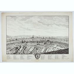
Prospect der Statt Basel von Seiten der Kleinen Statt - Vüe et Perspective de la Ville de Bâle du côté de la petite Ville.
Very decorative view of Basle, after a design by Emanuel Büchel and engraved by Johann Martin Weiss. The legend inscribed under the engraving, numbered from 1 to 10, des...
Date: Basle, 1745
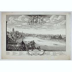
Prospect der Statt Basel von der St Alban Vorstraat - Vu¨e et perspective de la ville de Bâle du côté du Faubourg de St Albon.
Very decorative view of Basel, after a design by Emanuel Büchel and engraved by Johann Martin Weiss. Numbered 'No.1' in the bottom right, from a rare series of 4 sheets.
Date: Basle, ca. 1745
Prospect der Statt Basel von Seiten der Schlösser - Vuë et Perspective de la Ville de Bale du coté des Chateaux de Gundeldingue.
Very decorative view looking towards Basel from the castle at Gundeldingen, on a hill to the south. Accompanied at the bottom by a cartouche containing the arms of the ci...
Date: Basle, ca. 1745
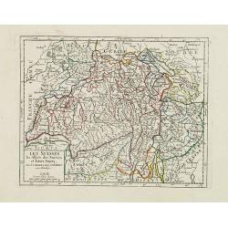
Les Suisses, les Alliés des Suisses et leurs Sujets.
Small detailed map of Switzerland. From Atlas Portatif Universel, by Robert de Vaugondy.Unrecorded state with erased date. Page 31 outside border top right. Mary Sponberg...
Date: Paris, later than 1749
Pagus Helvetiae Abbatiscellanus .. Valle Rhenana. . .
Scarce. A splendid map of the Swiss Alps, the area south west of the Boden See and west of the River Rhine, centered on Appenzell, St. Gallen. Engraved by Tobias C. Lotte...
- $800 / ≈ €681
Date: Augsbourg, 1760
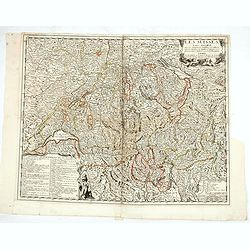
Les Suisses leurs sujets et leurs alliez. . .
Un uncommon map of Switzerland by Nolin.
- $250 / ≈ €213
Date: Paris, ca. 1760
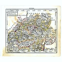
Switzerland divided into Cantonments.
Uncommon miniature map of Switzerland, engraved by Thomas Kitching for "A New General and Universal Atlas Containing Forty five Maps by Andrew Dury".This miniat...
- $30 / ≈ €26
Date: London, 1761-1763
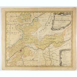
Canton Solothurn sive pagus Helvetiae Solodurensis cum confinibus recenter delineatus per Gabrielem Walserum.
A nice map of Swiss canton centered on Solothurn. Engraved by Tobias C. Lotter.
Date: Augsbourg, 1766
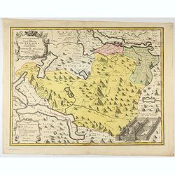
Canton Schweiz sive pagus Helvetiae Suitensis... / per Gabrielem Walserum.
A wonderful map of the Schwyz canton by Gabriel Walser (1695-1776). The map is gloriously detailed, showing towns, rivers, lakes, mountains, political boundaries and many...
Date: Nuremberg, 1767
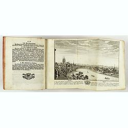
Neue und vollständige Topographie der Eidgnossschaft, in welcher die in den dreyzehen und zugewandten auch verbündeten Orten und Landen dermal befindliche Städte, Bischthümer, Stifte, Klöster, Schlösser, Amts-Häuser, Edelsitze und Burgställe...
The first edition of Herrliberger's work on the topography of Switzerland. - The rarest book on Switzerland rarely found complete.Illustrated with an engraved allegorical...
- $5500 / ≈ €4681
Date: Zurich, Johann Kaspar Ziegler, 1754-1773
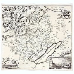
Incliti Cantonis Friburgensis Tabula, autore Francisco Petro VON DER WEID. Senatore et Commissario generale Friburgi. anno Domini 1668.
Very rare 2-sheet map and the first map of the canton Fribourg (Freiburg) in a scale of Scale 1:120.000. South to the top.The area shown on the map encompasses the whole ...
- $7500 / ≈ €6383
Date: Fribourg, 1668 but ca. 1778
Nova Totius Helvetiae cum suis subditis ac sociis tab. Geogr. . .
Miniature map of Switzerland. Engraved by Tobias Conrad Lotter. Helvetia is the Roman name for an ancient region of central Europe occupying a plateau between the Alps an...
- $200 / ≈ €170
Date: Augsburg, J.M.Will, 1778
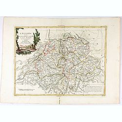
L'Elvezia divisa ne suoi Tredici Cantoni e suoi Alleati di nuova projezione.
Antonio Zatta's detailed map of the Confederation of Switzerland divided into its thirteen Cantons and their allies. Shows political and administrative boundaries, cities...
Date: Venice, 1781
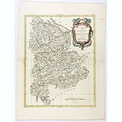
Parte Orientale dell'Elvezia divisa ne'suoi Cantoni di nuova projezione.
Antonio Zatta's detailed map of the eastern part of the Confederation of Switzerland divided into its Cantons. Shows political and administrative boundaries, cities, town...
Date: Venice, 1781
Carte de la Suisses . . .
Scarce map of Switzerland prepared by de la Fosse and published by L.J. Mondhare for his Atlas Général a l'usage des colleges et maisons d'education.. Louis Joseph Mond...
- $100 / ≈ €85
Date: Paris, 1783
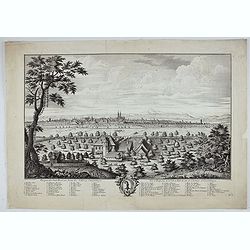
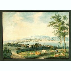
Vue de Zurich.
Good sized panoramic view of Zürich in the style of BLEULER with the foreground a resting shepherd with his sheep's under a tree. The engraving/etching is hand colored a...
- $900 / ≈ €766
Date: Ca. 1800
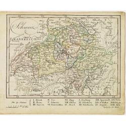
Schweiz.
Nice small map of Switzerland by Johannes Walch in his rare Allgemeiner Atlas Nach den bewährsten Hülfsmitteln und astronomischen Ortsbestimungen…, edition of 1812.Jo...
- $60 / ≈ €51
Date: Augsburg, 1812
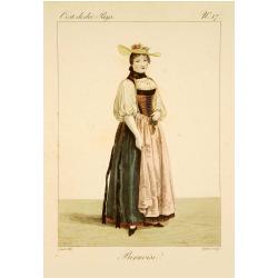
Bernoise.
A decorative costume print from "Costume de div. Pays", No.17. Engraved by Getine after Lanté.
- $80 / ≈ €68
Date: Paris, c. 1827
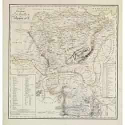
Karte der Kantone St.Gallen und Appenzell.
Scarce. A splendid map of the Swiss Alps, the area south west of the Boden See and west of the River Rhine, centered on Appenzell, St. Gallen.Prepared by Bernet and drawn...
Date: Zürich/ St.Gallen/ Bern, 1840
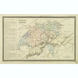
Confédération Suisse.
Finely engraved map of Switzerland prepared by A.H.Dufour and engraved by Giraldon-Bovinet. Published by Jules Renouard in his uncommon atlas "Le globe Atlas classiq...
Date: Paris, Jules Renouard, ca.1840
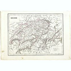
Suisse.
Detailed map of Switzerland, prepared by Charles V. Monin (fl.1830-1880) a French cartographer of Caen and Paris. Published in Atlas Universel de Géographie Ancienne &am...
- $45 / ≈ €38
Date: Paris, 1845
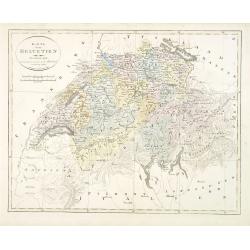
Karta öfver Helvetien.
An very rare map of Switzerland with Swedish text. This is an updated version of his map of 1820 and is now dated 1833.From his atlas "Geographisk Hand-Atlas" f...
Date: A. Wiborgs förlag, Stockholm, ca. 1848
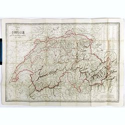
Carte de la Suisse . . .
Detailed canvas map of Switzerland.
Date: Paris, 1850
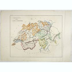
Diocesi della Svizzera (Tav IV)
This large-format Switzerland map is finely engraved and beautifully colored and was prepared by Girolamo Petri, a lawyer who served as a senior official within the Vatic...
- $750 / ≈ €638
Date: Rome, 1858
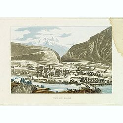
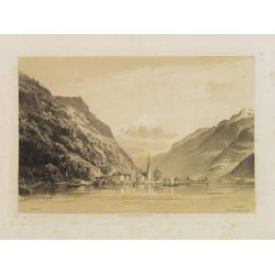
Fluelen (Suisse, lac des Quatre Cantons).
Uncommon and decorative lithography published by Carl Johan Billmark and printed by Lemercier in Paris, 55 rue de Seine, the leading firm in Europe at that time. From: It...
- $80 / ≈ €68
Date: Paris, c.1859
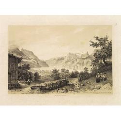
Brunnen et une Partie du Lac des Quatre Cantons.
Uncommon and decorative lithography published by Carl Johan Billmark and printed by Lemercier in Paris, 55 rue de Seine, the leading firm in Europe at that time. From: It...
- $80 / ≈ €68
Date: Paris, c.1859
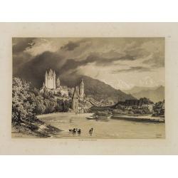
Thoun.
Uncommon and decorative lithography published by Carl Johan Billmark and printed by Lemercier in Paris, 55 rue de Seine, the leading firm in Europe at that time. From: It...
- $80 / ≈ €68
Date: Paris, c.1859
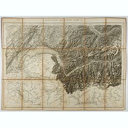
Generalkarte der Schweiz. Blatt III.
Folding map showing Leman lake. The map, engraved by Müllhaupt, is probably part of the 'Topographical Atlas of the Federal General Staff reduced under the direction of ...
- $75 / ≈ €64
Date: Bern, 1873
[Voyage en Suisse / Reise die Schweiz.]
A first edition children's folding board game of Switzerland and its many places and sights to visit. Although it is missing most of its original components (dice, cards,...
Date: Switzerland, 1891
[Map of the Alps].
Alexey Afinogenovich Ilyin was a lieutenant general and cartographer (1832-1889). In 1856, after graduating from the Academy of the General Staff, he was at the military ...
- $45 / ≈ €38
Date: St. Petersburg, 1899
![Basilae [ Basle, CCXLIIII ]](/uploads/cache/29714-250x250.jpg)
![[Lot of 7 leaves] Curiensis civitas, Rhetorum…/Valesia/Solothurensis/Clarissimae civitatis/Genevensis/Basiliensis/Ursina…Bernensis/Sedunensis/Designatio …Badensis.](/uploads/cache/48278-250x250.jpg)
![Zurichgow et Basiliensis Provincia [ Zurich].](/uploads/cache/60807-250x250.jpg)
-250x250.jpg)
![[Map of river Rhine.]](/uploads/cache/47453-250x250.jpg)
![[Lot of 3 maps] Carte de la Souveraineté de NEUCHATEL et VALLANGIN. Plus Mercator's and Blaeu's maps of the Wiflispurgergou]](/uploads/cache/18600-250x250.jpg)

![[Voyage en Suisse / Reise die Schweiz.]](/uploads/cache/48396-250x250.jpg)
![[Map of the Alps].](/uploads/cache/46164-250x250.jpg)