Browse Listings
Lucca.
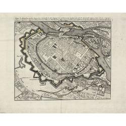
Very rare bird's-eye plan of Lucca. To the sides a historical description and a numbered key.George Christophe Kilian (1709-1780) active as engraver of Augsburg published...
Date: Augsburg 1757
Selling price: ????
Please login to see price!
Sold
Lausanna.
Very rare bird's-eye plan of Lausanne. To the sides a historical description and a lettered key.George Christophe Kilian (1709-1780) active as engraver of Augsburg publis...
Date: Augsburg 1757
Selling price: ????
Please login to see price!
Sold
Londen.
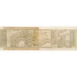
Very rare bird's-eye plan of London. To the sides a historical description and a numbered key.George Christophe Kilian (1709-1780) active as engraver of Augsburg publishe...
Date: Augsburg 1757
Selling price: ????
Please login to see price!
Sold
Genua oder Genova.
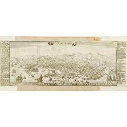
Very rare bird's-eye plan of Genova. To the sides a historical description and a numbered key.George Christophe Kilian (1709-1780) active as engraver of Augsburg publishe...
Date: Augsburg 1757
Selling price: ????
Please login to see price!
Sold
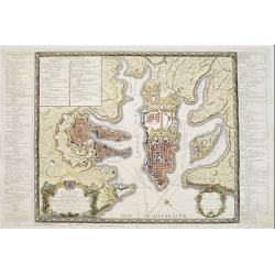
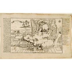
Plan Alt und Neuer Fortificatizon von Malta gelegen auf der Insul gleiches Namens. [Valletta]
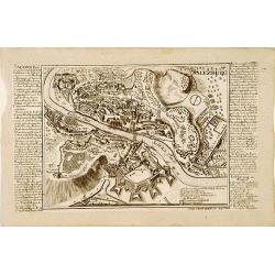
Very rare bird's-eye plan of town and harbor of Valletta on Malta. To the sides a historical description and a numbered key.George Christophe Kilian (1709-1780) active as...
Date: Augsburg 1757
Selling price: ????
Please login to see price!
Sold
Milano - Meyland.
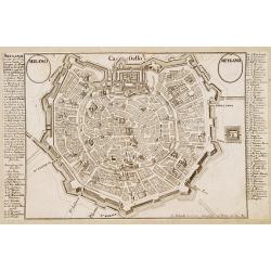
Very rare bird's-eye plan of Milan. To the sides a historical description and a numbered key.George Christophe Kilian (1709-1780) active as engraver of Augsburg published...
Date: Augsburg 1757
Selling price: ????
Please login to see price!
Sold
Moscow.
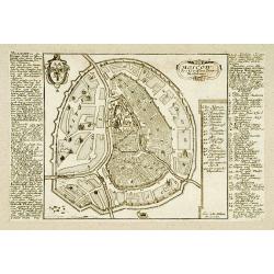
Very rare bird\'s-eye plan of Moscow. To the sides a historical description and a numbered key.George Christophe Kilian (1709-1780) active as engraver of Augsburg publish...
Date: Augsburg 1757
Selling price: ????
Please login to see price!
Sold
München.
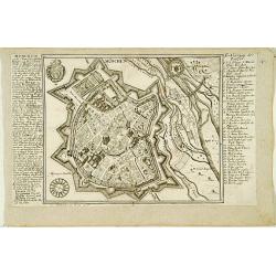
Very rare bird's-eye plan of Munich. To the sides a historical description and a numbered key.George Christophe Kilian (1709-1780) active as engraver of Augsburg publishe...
Date: Augsburg 1757
Selling price: ????
Please login to see price!
Sold
Paris.
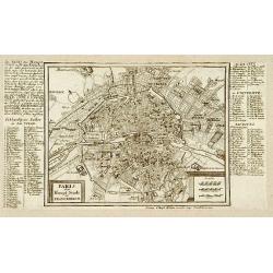
Very rare bird's-eye plan of Paris. To the sides a historical description and a numbered key.George Christophe Kilian (1709-1780) active as engraver of Augsburg published...
Date: Augsburg 1757
Selling price: ????
Please login to see price!
Sold
Roma.
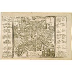
Very rare bird's-eye plan of Rome. To the sides a historical description and a numbered key.George Christophe Kilian (1709-1780) active as engraver of Augsburg published ...
Date: Augsburg 1757
Selling price: ????
Please login to see price!
Sold
Bologna.
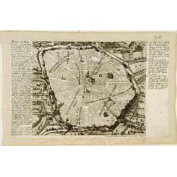
Very rare bird's-eye plan of Bologna. To the sides a historical description and a numbered key.George Christophe Kilian (1709-1780) active as engraver of Augsburg publish...
Date: Augsburg 1757
Selling price: ????
Please login to see price!
Sold
Fiorenza oder Florenz.
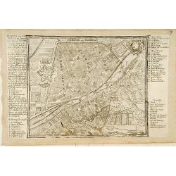
Very rare bird's-eye plan of Florence. To the sides a historical description and a numbered and lettered key.George Christophe Kilian (1709-1780) active as engraver of Au...
Date: Augsburg 1757
Selling price: ????
Please login to see price!
Sold
Saltzburg.
Very rare bird's-eye plan of Salzburg. To the sides a historical description and a numbered key.George Christophe Kilian (1709-1780) active as engraver of Augsburg publis...
Date: Augsburg 1757
Selling price: ????
Please login to see price!
Sold
Stutgart.
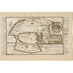
Very rare bird's-eye plan of Stuttgart. To the sides a historical description and a numbered key.George Christophe Kilian (1709-1780) active as engraver of Augsburg publi...
Date: Augsburg 1757
Selling price: ????
Please login to see price!
Sold
Wien.
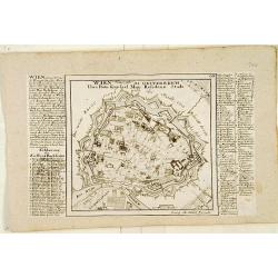
Very rare bird's-eye plan of Vienna. To the sides a historical description and a numbered and lettered key.George Christophe Kilian (1709-1780) active as engraver of Augs...
Date: Augsburg 1757
Selling price: ????
Please login to see price!
Sold
Cölln. [Cologne]
Very rare bird's-eye plan of Cologne. To the sides a historical description and a numbered key.George Christophe Kilian (1709-1780) active as engraver of Augsburg publish...
Date: Augsburg 1757
Selling price: ????
Please login to see price!
Sold
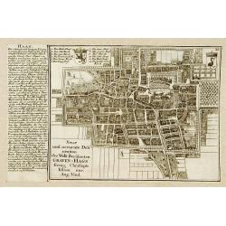
Haag.
Very rare bird's-eye plan of Den Haag. To the left side a historical description.George Christophe Kilian (1709-1780) active as engraver of Augsburg published his Kleiner...
Date: Augsburg 1757
Selling price: ????
Please login to see price!
Sold
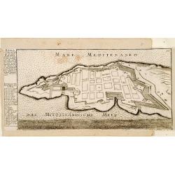
Malta ad Vallette.
Very rare bird's-eye plan of Valetta. To the left side a historical description and a lettered key.George Christophe Kilian (1709-1780) active as engraver of Augsburg pub...
Date: Augsburg 1757
Selling price: ????
Please login to see price!
Sold
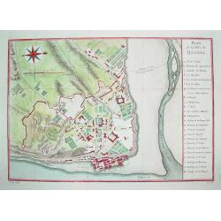
Plan de la Ville de Quebec.
A beautifully engraved mid-18th century plan of Quebec. The work contains a 24 point legend which identifies key sites and places of interest. Enhanced with a compass ros...
Date: Paris, c. 1757
Selling price: ????
Please login to see price!
Sold
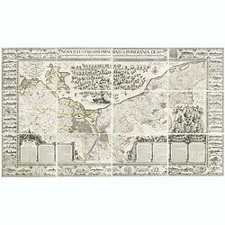
Nova illustrissimi principatus Pomeraniae descrptio.. .
"Only a small number of copies were printed and so this edition is a very rare object today" (Scharfe). THE MOST IMPORTANT EARLY MAP OF POMERANIA, the region on...
Date: Amsterdam, 1618-1757
Selling price: ????
Please login to see price!
Sold in 2015
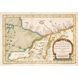
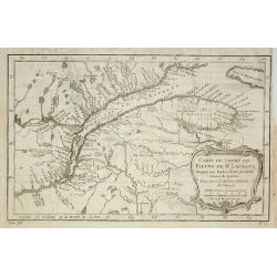
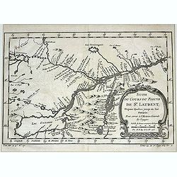
Suite du Cours du Fleuve de St.Laurent depuis Quebec jusqu' au Lac Ontario.
A map of Prevost's 'Hist. des Voyages', depicting the cours of the St. Lawrence river from lake Onario to Quebec.Jaques Nicolaas Bellin (1703-1772) was one of the most im...
Date: Paris, 1757
Selling price: ????
Please login to see price!
Sold
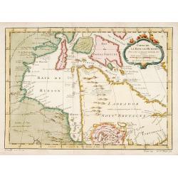
Carte de la Baye de Hudson..
Jacques Nicholas Bellin (1703-1772) was one of the most important and proficient French cartographers of the mid-eighteenth century. He was appointed the first Ingenieur ...
Date: Paris, 1757
Selling price: ????
Please login to see price!
Sold
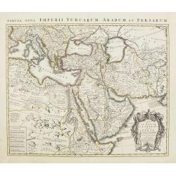
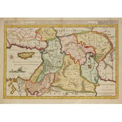
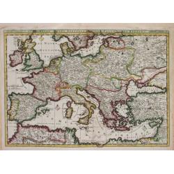
TURKEY AND ARABIA
Large map of the Middle-East, showing the Arabian peninsula, Turkey, Persia, Greece, Italy and a large part of north-eastern Africa. Originally designed and edited by de ...
Date: Amsterdam, 1757
Selling price: ????
Please login to see price!
Sold
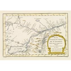
Suite du Cours du Fleuve de St.Laurent..Ontario.
A map of Prevost's 'Hist. des Voyages', depicting the course of the St. Lawrence river from lake Ontario to Quebec.Jacques Nicolas Bellin (1703-1772) was one of the most ...
Date: Paris 1757
Selling price: ????
Please login to see price!
Sold
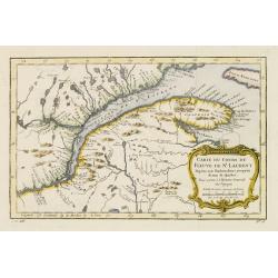
Carte du Cours du Fleuve de St.Laurent..Quebec.
A map of Prevost's 'Hist. des Voyages', depicting the course of the St. Lawrence river from Quebec to the Atlantic.Jacques Nicolas Bellin (1703-1772) was one of the most ...
Date: Paris 1757
Selling price: ????
Please login to see price!
Sold
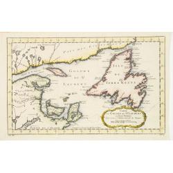
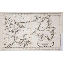
Carte du Golphe de St.Laurent et Pays Voisins..
Accurate map depicting the gulf of St. Lawrence and the surrounding area, included the isle of Newfoundland.Jacques Nicolaas Bellin (1703-1772) was one of the most import...
Date: Paris 1757
Selling price: ????
Please login to see price!
Sold
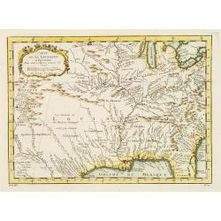
Carte de la Louisiane et pays Voisins.
Accurate map showing the lower Mississippi River and surrounding areas, the ranges and villages of numerous Indian tribes are shown.Jacques Nicolaas Bellin (1703-1772) wa...
Date: Paris 1757
Selling price: ????
Please login to see price!
Sold
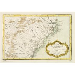
Carte de la Caroline et Georgie..
Accurate map depicting the eastern coast of the United States from Savannah to Edenton as well as the inland corresponding to today Carolinas. Includes part of Georgia.Ja...
Date: Paris 1757
Selling price: ????
Please login to see price!
Sold
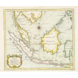
Carte des Isles de Java Sumatra et Borneo..
A very fine map centered on the islands of Java, Sumatra, Borneo and Malay Peninsular.Jacques Nicolaas Bellin (1703-1772) was one of the most important and proficient Fre...
Date: Paris 1757
Selling price: ????
Please login to see price!
Sold
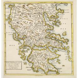
Oud Griekenland zo als 't eerste in Koninkrijken..
Very unusual map of ancient Greece. In upper left margin V. Deel Bladz.275.
Date: Utrecht c.1757
Selling price: ????
Please login to see price!
Sold
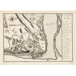
Grundriss der Stadt Quebec.
Plan of Quebec with table of explanations to the right side. From a German edition of Prevost's 'Hist. des Voyages'. Jacques Nicolaas Bellin (1703-1772) was one of the mo...
Date: Paris 1757
Selling price: ????
Please login to see price!
Sold
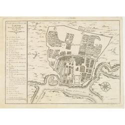
Plan de la ville de Louvo Demeure ordinaire des Rois de Siam.
From Prevost\'s Histoire des Voyages. Jacques Nicolas Bellin (1703-1772) was one of the most important and proficient French cartographers of the mid-eighteenth century. ...
Date: Paris, 1757
Selling price: ????
Please login to see price!
Sold in 2008
De Gelegenheyt van 't Paradys en 't Landt Canaan, mitsgaders d, eerste bewoonde landen der Patriarchen?door C.D./Albert Schut Schulp.
Dutch so-called ' Staten' bibles, published between 1637 and c. 1760, contained 5 maps: The World, 'Paradise', The Perigrinations, The Promised Land Canaan, The Travels o...
Date: Amsterdam / Leiden, 1757
Selling price: ????
Please login to see price!
Sold
Plan general de la Ville capitale de Malta..
Attractive large scale plan of Valetta on Malta. With numbered key to the principal places of interest.The print has unfortunately some reinforcements of missing parts, c...
Date: Paris 1757
Selling price: ????
Please login to see price!
Sold
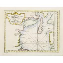
Carte Des Parties Du Nord-Ouest De L'Amerique Suivant les Voyages de Middleton et d Ellis..
Very nicely engraved chart that covers most of Hudson's Bay. Locates Fort Prince of Wales and Fort York, the Ottawa Islands (here the Bakers Dozen), the track of Henry El...
Date: Paris 1757
Selling price: ????
Please login to see price!
Sold
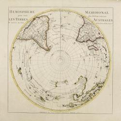
SOUTHERN HEMISPHERE.
Large map of the southern hemisphere, with the south pole in the center, showing also the southern parts of America, Africa, Asia and Australia. Originally designed and e...
Date: Amsterdam, 1757
Selling price: ????
Please login to see price!
Sold
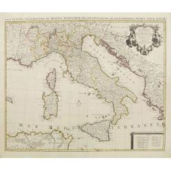
l''Italie.
Large map of Italy, Sicily, Sardinia, Corsica, part of the Balkan, France and northern Africa. Dressee sur les observations de Mrs de l'Academie royale etc. Originally de...
Date: Amsterdam, 1757
Selling price: ????
Please login to see price!
Sold in 2008
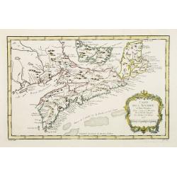
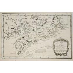
Carte de l' Accadie et Pais Voisins..
First state of this nice map with a decorative rococo-style cartouche. It shows in good detail Prince Edward Island, here called Isle Saint Jean, and covers all of Nova S...
Date: Paris 1757
Selling price: ????
Please login to see price!
Sold
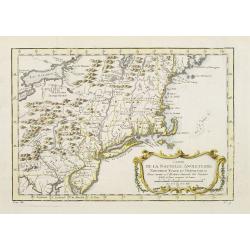
Carte de la Nouvelle Angleterre, Nouvelle Yorck et Pensilvanie..
Lovely map of the northeast, fully engraved with mountains. The colonies are shown confined east of the Appalachian Mountains, with the "Nations Iroquoises" wes...
Date: Paris 1757
Selling price: ????
Please login to see price!
Sold
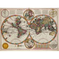
De Werelt Caart.
Dutch so-called ' Staten' bibles, published between 1637 and c. 1760, contained 5 maps: The World, ' Paradise', The Perigrinations, The Promised Land Canaan, The Travels ...
Date: Amsterdam, S. Luchtmans, 1757
Selling price: ????
Please login to see price!
Sold in 2008
D' Reyse des Apostels Pauli na Roomen.
Dutch so-called 'Staten' bibles, published between 1637 and c. 1760, contained 5 maps: The World, 'Paradise', The Perigrinations, The Promised Land Canaan, The Travels of...
Date: Amsterdam / Leiden, R. & J. Wetstein / W. Smith / S. Luchtmans, 1757
Selling price: ????
Please login to see price!
Sold
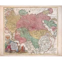
Spatiosissimum Imperium Russiae Magnae juxta recentissimas Observationes Mappa Geographica . . .
Decorative map of Russia, from Livonia to Kamchatka, China, Tibet, and part of Japan Filled with place names, a nomadic tent encampments in Mongolia.Kamchatka in a curi...
Date: Augsburg, 1757
Selling price: ????
Please login to see price!
Sold in 2013
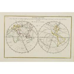
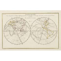
Mappemonde dans laquelle est indiqu\'e l\'effet que produira la parallaxe sur le temps de l\'entr\'ee et de la sortie de Venus en 1769 / par M. de la Lande.
Double hemispherical world map showing the transit of Venus in front of the Sun in 1769. In upper right margin: Mem. de l\'Ac. R. des Sc 1757, Page 250 Pl. 15. In upper l...
Date: Paris, 1757
Selling price: ????
Please login to see price!
Sold in 2008
Allgemeine Historie der Reisen zu Wasser und zu Lande: oder Sammlung aller Reisebeschreibungen, welche bis itzo in verschiedenen Sprachen von allen Volkernherausgegeben worden. . .
Collection of travel exploration of South and North America. With 19 copperengravings (10 folded maps). The maps of N. Bellin showing: (1) South-American continent, (2) G...
Date: Leipzig, 1757
Selling price: ????
Please login to see price!
Sold in 2009
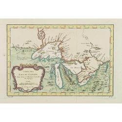
Carte Des Lacs Du Canada Pour sevir a l'Histoire Generale des Voyages.
Showing the all the Great Lakes in the traditional Bellin configuration. Jacques Nicolas Bellin (1703-1772) was one of the most important and proficient French cartograph...
Date: Paris, 1757
Selling price: ????
Please login to see price!
Sold in 2011
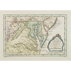
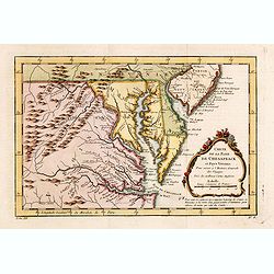
Carte de la Baye de Chesapeack et Pays Voisins. . .
Very attractive map showing both Chesapeake and Delaware Bays and the coast of New Jersey, Maryland and Virginia down to Cape Charles and Cape Henry. Including Philadelph...
Date: Paris, 1757
Selling price: ????
Please login to see price!
Sold
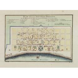
Plan de la Nouvelle Orleans. . .
An important transitional and very detailed early map of New Orleans, copied after the original manuscript town-plan of the city drafted by Le Blond de la Tour in 1722. I...
Date: Paris, 1757
Selling price: ????
Please login to see price!
Sold in 2009
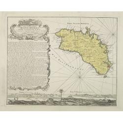
Carte topographique de l'isle Minorque dediée et presentée au roy par le chevalier de Beaurain. . . et communiquée au public par les Heritiers de Homan en l'an 1757.
A rare map depicting the island of Minorca. The upper left is decorated with a stunning title cartouche.The German text on the left side contains a lengthy description of...
Date: Nuremberg, 1757
Selling price: ????
Please login to see price!
Sold in 2010
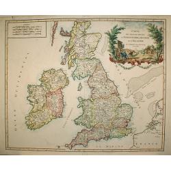
Carte des grandes routes d'Angleterre, d'Ecosse.. Irlande.
Decorative map of British Isles with Rococo title cartouche. Engraved by Delahaye.
Date: Paris, 1757
Selling price: ????
Please login to see price!
Sold in 2009
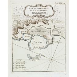
Plan du Port et Ville de Civita-Vecchia.
A military chart of Civita-Vecchia's fortifications and fort in the province of Rome. With a key : A-E.Jacques Nicolas Bellin (1703-1772) was one of the most important an...
Date: Paris, 1757
Selling price: ????
Please login to see price!
Sold in 2020
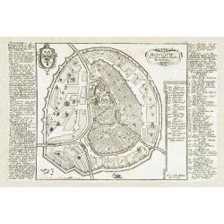
Moscow.
Very rare bird's-eye plan of Moscow. To the sides a historical description and a numbered key.George Christophe Kilian (1709-1780) active as engraver of Augsburg publishe...
Date: Augsburg 1757
Selling price: ????
Please login to see price!
Sold in 2009
Carte du Cours du Fleuve de St.Laurent ? Quebec.
A folding map of Prevost's 'Hist. des Voyages', depicting the course of the St. Lawrence river from Quebec to the Atlantic.Jacques Nicolas Bellin (1703-1772) was one of t...
Date: Paris, 1757
Selling price: ????
Please login to see price!
Sold in 2009
Carte de l' Accadie et Pais Voisins . . .
A nice folding map with a decorative rococo-style cartouche. It shows in good detail Prince Edward Island, here called Isle Saint-Jean, and covers all of Nova Scotia incl...
Date: Paris, 1757
Selling price: ????
Please login to see price!
Sold in 2011
Carte du Golphe de St.Laurent et Pays Voisins ?
Accurate map depicting the gulf of St. Lawrence and the surrounding area, included the isle of Newfoundland.Jacques Nicolaas Bellin (1703-1772) was one of the most import...
Date: Paris, 1757
Selling price: ????
Please login to see price!
Sold in 2009
Mappemonde dans laquelle est indique l'effet que produira la parallaxe sur le temps de l'entr'ee et de la sortie de Venus en 1769 / par M. de la Lande.
Double hemispherical world map showing the transit of Venus in front of the Sun in 1769. In upper right margin: Mem. de l'Ac. R. des Sc 1757, Page 250 Pl. 15. In upper le...
Date: Paris, 1757
Selling price: ????
Please login to see price!
Sold in 2009
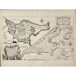
A Plan of the City, and Fortifications, of Louisburg, from a Survey made by Richard Gridley / A Plan of the City and Harbour of Louisburg
Important and very rare map describing the first siege of Louisbourg in 1745The copper engraved map published by Thomas Jefferys in 1757 showing the Siege of Louisbourg, ...
Date: London, 1757
Selling price: ????
Please login to see price!
Sold in 2011
Plan de Breslau et du Siége de S.M. le R. de Pr. depuis le commencem. iusqu'au 18. de decemb. 1757. jour de la capitul
A rare plan of Breslau (today Wroclaw) during the siege 1757. It shows the day of the capitulation 18. December 1757. Engraved by J.C. Back. With a key below the title.
Date: 1757
Selling price: ????
Please login to see price!
Sold in 2011
Carte d'Asie. . .
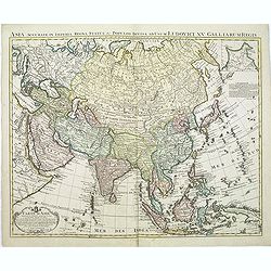
This is an updated re-issue of de L'Isle's map of 1723. An inset shows the northeastern tip of the continent which has been altered significantly from the earlier version...
Date: Amsterdam, 1757
Selling price: ????
Please login to see price!
Sold in 2011
Les Indes Orientales, ou sount distingues les Empires et Royaumes..
Interesting regional map extending from India, the Ganges and the Maldives Islands to Hai-nan, Cochin china, Malacca and Sumatra. Includes islands, towns, mountains, rive...
Date: Paris, 1757
Selling price: ????
Please login to see price!
Sold in 2011
Carte Réduite de l'Océan Oriental ou Mer des Indes.
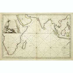
A of the Indian Ocean, with its islands and adjacent coasts in detail. The chart stretches from the Congo coast, around Africa, Arabia, India and South East Asia, includ...
Date: Paris, 1757
Selling price: ????
Please login to see price!
Sold in 2011
Carte de la province de Quan-tong, ou Lyau-tong et du Royaume de Kau-li. . .
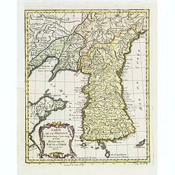
Map of Korea. The map is of interest for the use of East Sea, the sea between Korea and Japan, here called "Mer de Corée.Decorative title cartouche in lower left co...
Date: Paris, 1757
Selling price: ????
Please login to see price!
Sold in 2013
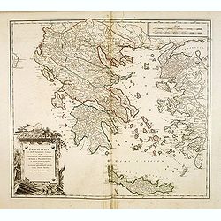
Graecia Vetus ex schardis Sansonianis desumpta. . .
Decorative map of ancient Greece and neighboring Islands in the Ionian and Aegean Seas, with a large decorative cartouche. Also shows a fair amount of Turkish Asia, along...
Date: Paris, 1757
Selling price: ????
Please login to see price!
Sold in 2012
Le Royaume d'Ecosse.
Detailed map of Scotland, from and early edition of DeVaugondy's Atlas Universel. Includes towns, mountains, rivers, lakes and a host of other details. Decorative Cartouc...
Date: Paris, 1757
Selling price: ????
Please login to see price!
Sold in 2013
L'Europe divisée en ses principaux Etats,. . .
Detailled map of Europe from his "Atlas Universel".Gilles Robert de Vaugondy (1688–1766), also known as Le Sieur or Monsieur Robert, and his son, Didier Rober...
Date: Paris, ca.1757
Selling price: ????
Please login to see price!
Sold in 2011
Partie Meridionale des Etats de Castille où se trouvent l'Andalousie et le Roy.me de Grenade.
Decorative and highly detailed map of Southwestern Spain and including a decorative cartouche from his "Atlas Universel".Gilles Robert de Vaugondy (1688–1766)...
Date: Paris, 1757
Selling price: ????
Please login to see price!
Sold in 2011
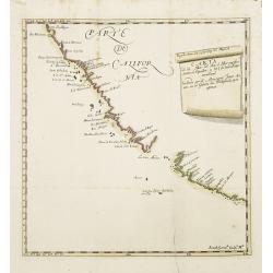
Carta de la Mar del Sur, ò Mar pacifico, entre el Equador, y 39½ de latitud Septentrional hallada por el Almirante Jorge Anson en el Galion de Philipinas, que apresò.
Scarce map of the west coast of America, covering part of Mexico and California, copied from Anson's chart of 1748. Reaches as far north as Punta de los Reyes and Los Far...
Date: Madrid, 1757
Selling price: ????
Please login to see price!
Sold in 2013
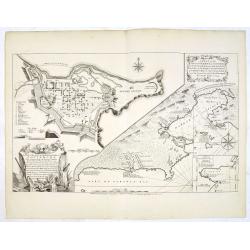
A Plan of the City, and Fortifications, of Louisburg, from a Survey made by Richard Gridley / A Plan of the City and Harbour of Louisburg.
Important and very rare map describing the first siege of Louisbourg in 1745 - Very rare first state of the Gridley/Jefferys plan of the 1745 Siege of Louisbourg.Large Fr...
Date: London, Thomas Jefferys, 20 April 1757
Selling price: ????
Please login to see price!
Sold in 2013
Graecia Vetus ex schardis Sansonianis desumpta. . .
Decorative map of ancient Greece and neighboring Islands in the Ionian and Aegean Seas, with a large decorative cartouche. Also shows a fair amount of Turkish Asia, along...
Date: Paris, 1757
Selling price: ????
Please login to see price!
Sold in 2012
Suite du Cours du Fleuve de St.Laurent depuis Quebec jusqu' au Lac Ontario.
A map of Prevost's 'Hist. des Voyages', depicting the course of the St. Lawrence river from lake Ontario to Quebec.Jacques Nicolaas Bellin (1703-1772) was one of the most...
Date: Paris, 1757
Selling price: ????
Please login to see price!
Sold in 2013
Kaart van de Stad Utrecht..
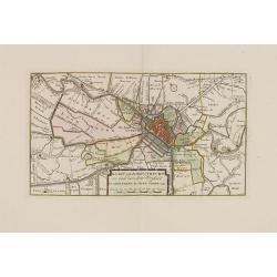
Detailed map of the town of Utrecht. Including several town along the river Vecht: Maarsen, Zuylen, Amelisweert, etc.Isaac Tirion was born in Utrecht ca. 1705. He came to...
Date: Amsterdam, 1757
Selling price: ????
Please login to see price!
Sold in 2013
Nieuwe en naukeurige kaart van de drie landen van Overmaaze Valkenburg, Daalhem en s'Hertogenrade.
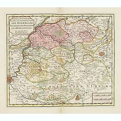
Detailed map of southern part of Limburg, including and east of Maastricht.Isaac Tirion was born in Utrecht ca. 1705. He came to Amsterdam ca. 1725. Tirion published a nu...
Date: Amsterdam, 1757
Selling price: ????
Please login to see price!
Sold in 2013
Nieuwe kaart van de Baronie van Breda. . .
Detailed map of western part of Brabant.
Date: Amsterdam, 1757
Selling price: ????
Please login to see price!
Sold in 2013
Russiae Imperium.
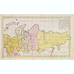
Scarce map of greater Russia, extending from Livonia in the west to Kamchatka. To the south it runs from Georgia (not shown as part of Russia) across the Caspian and Uzbe...
Date: Augsburg, 1757
Selling price: ????
Please login to see price!
Sold in 2013
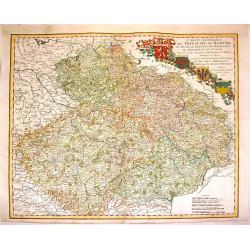
Carte Generale du Royaume de Boheme du Duche de Silesie et des Marquisats de Moravie et de Lusace. . .
Lovely copper engraved map shows Bohemia, Lustia & Silesia with high detail of cities, towns, rivers, lakes, mountains & forests. Features beautiful, ribboned, he...
Date: Nuremberg, 1757
Selling price: ????
Please login to see price!
Sold in 2013
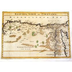
Egipten, Libie en Cirenaika.
Unusual map of Egypt & Libya. (Cirenaika historically was a region in Libya)
Date: Utrecht, 1757
Selling price: ????
Please login to see price!
Sold in 2015
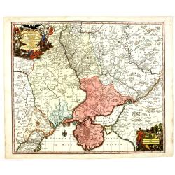
Theatrum belli Russorum Victoriis illustratum sive Nova et accurata Turcicarum et Tartaricum. . .
Uncommon and decorative map of Ukraine, showing the theatre of the Russo-Turkish War in the Ukraine in 1735-1739. The map gives detailed information of the fortifications...
Date: Nuremberg, ca. 1757
Selling price: ????
Please login to see price!
Sold in 2013
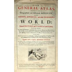
(Title plate from the rare Atlas ‘A New General Atlas Containing a Geographical and Historical Account of all the Empires, Kingdoms and other Dominions of the World: by John Senex. M.DCC.XXI.)
The Title plate from the rare Atlas ‘A New General Atlas Containing a Geographical and Historical Account of all the Empires, Kingdoms and other Dominions of the World:...
Date: London, 1757
Selling price: ????
Please login to see price!
Sold in 2016
Carte de la Baye de Chesapeack et Pays Voisins. . .
Very attractive map showing both Chesapeake and Delaware Bays and the coast of New Jersey, Maryland and Virginia down to Cape Charles and Cape Henry. Including Philadelph...
Date: Paris, 1757
Selling price: ????
Please login to see price!
Sold in 2018
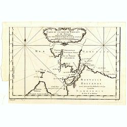
Carte Du Detroit de Waeigats ou De Nassau...
Detailed regional map of the Strait of Waeigats in the Arctic Sea. Includes a decorative title cartouche. One of the maps produced by Nichlas Bellin for Prevost d'Exiles ...
Date: Paris, 1757
Selling price: ????
Please login to see price!
Sold in 2020
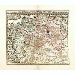
Nieuwe kaart van de Baronie van Breda en 't Markgraafschap van Bergen op Zoom. . .
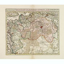
Detailed map of western part of Brabant, centered on Breda.Isaac Tirion was born in Utrecht ca. 1705. He came to Amsterdam ca. 1725. Tirion published a number of importan...
Date: Amsterdam, 1757
Selling price: ????
Please login to see price!
Sold in 2016

![Plan Alt und Neuer Fortificatizon von Malta gelegen auf der Insul gleiches Namens. [Valletta]](/uploads/cache/17369-250x250.jpg)
![Cölln. [Cologne]](/uploads/cache/17380-250x250.jpg)
