Browse Listings
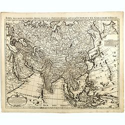
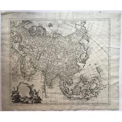
Carte d\'Asie. . .
This is an updated re-issue of de L'Isle's map of 1723. An inset shows the northeastern tip of the continent which has been altered significantly from the earlier version...
Date: Amsterdam, 1757
Selling price: ????
Please login to see price!
Sold in 2014
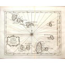
Carte des Isles du Cap Verd.
Featuring the Portugese Cape Verde Islands that are about 500 miles off the most western part of Africa in the Atlantic Ocean. Included are the islands of Bonavista, Sal,...
Date: Paris, 1757
Selling price: ????
Please login to see price!
Sold in 2016
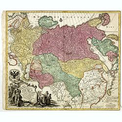
Spatiosissimum Imperium Russiae Magnae juxta recentissimas Observationes Mappa Geographica . . .
Decorative map of greater Russia, extending from Livonia in the west to Kamchatka, China, Tibet, Taiwan, Korea and part of Japan in the east. To the south it runs from Ge...
Date: Augsburg, 1757
Selling price: ????
Please login to see price!
Sold in 2014
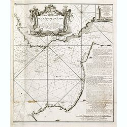
Carte géométrique de l'Entrée de la Rivière de Loire Représentée de Basse Mer dans les grandes Marées des Nouvelles et Pleines Lunes
Right hand part of a two sheet chart of the exit of the River Loire, prepared and published by Nicolas Magin (1663-1742). Engraved by Dheulland.
Date: Paris, 1757
Selling price: ????
Please login to see price!
Sold in 2015
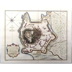
La ville de Cayenne de Stad Cayenne.
A fine city plan of the town of Cayenne in French Guyana in South America by J.N. Bellin, and engraved by J. Van Der Schley in 1757. From "Histoire Generale des Voya...
Date: Paris, 1757
Selling price: ????
Please login to see price!
Sold in 2016
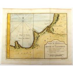
Carte de la Rade de Benguella et Riviere de Cantonbelle.
Detailed map of the region of West Africa between Angola and Catumbela. Fort Kabuto is pointed out as probably being founded by the English.
Date: Paris, 1757
Selling price: ????
Please login to see price!
Sold in 2016
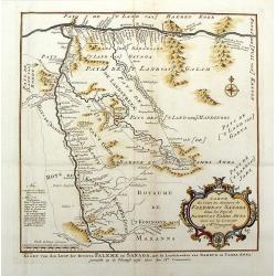
Carte du Cours des Rivieres de Falemeet Sanaga Dans les Pays de Bamucet Tamba Awra.
Interesting original map of western Mali with the Senegal and Niger Rivers showing the important Bambuk region. This is the area that has Cameroon gold mining. Engraved b...
Date: Paris, 1757
Selling price: ????
Please login to see price!
Sold in 2018
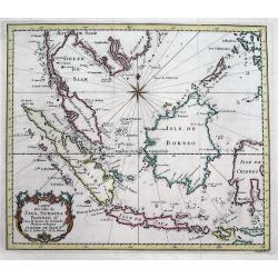
Carte Des Isles De Java, Sumatra, Borneo &c Les Detroits de la Sonde Malaca et Banca Golphe De Siam...
Detailed map of Southeast Asia, with the Gulf of Siam, Cambodia, Brunei, Mindoro in the Philippines, Lombok, Bali, Java and Sumatra, Borneo and the Malay Peninsula.A deco...
Date: Paris, 1757
Selling price: ????
Please login to see price!
Sold in 2016
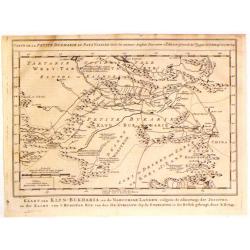
Kaart van Klyn-Bukharia, en de Nabuurige Landen.
Interesting map of Klyn-Bukharia and Nabuurige Countries, which includes Central Asia and the current countries of Kazakstan, Turkmenistan, Uzbekistan, Tajikistan, and Ky...
Date: The Hague, 1757
Selling price: ????
Please login to see price!
Sold in 2017
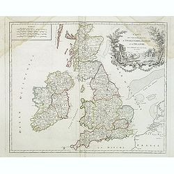
Carte des grandes routes d'Angleterre, d'Ecosse et d'Irlande.
Decorative map of British Isles with Rococo title cartouche. Engraved map by Delahaye. Relief shown pictorially.
Date: Paris, 1757
Selling price: ????
Please login to see price!
Sold in 2015
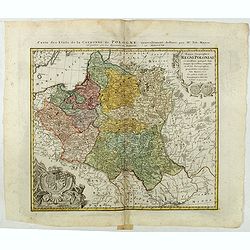
Mappa Geographica Regni Poloniae ex novissimis quotquot sunt mappis specialibus composita et al L.L. Stereographicae projectionis revocata a Tob. Mayero. . . .
Decorative map of Poland after Tobias Mayer who was based on Barnikel's map of Curland (1747) and Jan Nieprzecki's map of Lithuania (1749).Poland extends from Glogau and ...
Date: Nuremberg, 1757
Selling price: ????
Please login to see price!
Sold in 2020
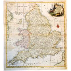
A New and Accurate Map of that District of Great Britain called England & Wales.
A very detailed map of Great Britain by Thomas Kitchin, from Walpoole's New & Complete British Traveller, published in 1784.Thomas Kitchin was among the most producti...
Date: London, 1757
Selling price: ????
Please login to see price!
Sold in 2015
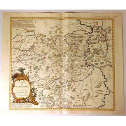
Evache de Paderborn.
Fine large map of the Archdiocese of Paderborn. It is an Archdiocese of the Latin Rite of the Roman Catholic Church in Germany. It was a diocese from its foundation in 79...
Date: Paris, 1757
Selling price: ????
Please login to see price!
Sold in 2020
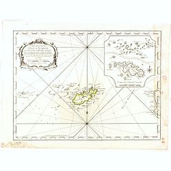
Carte reduite de l'isle d'Aurigni et des isles et roches voisines dressée au Depost des Cartes et Plans . . .
Sea of Guernsey.Relief shown by hachures. Depths shown by soundings. It shows soundings, anchorage's, channels, shoals, navigational sightings.
Date: Paris, 1757
Selling price: ????
Please login to see price!
Sold in 2015
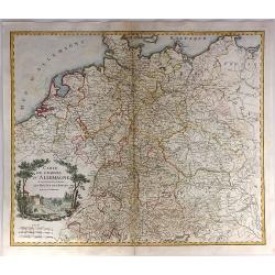
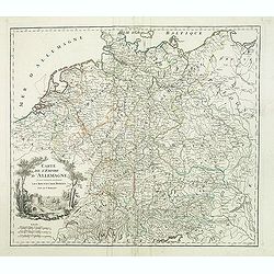
Carte de l'Empire d'Allemagne ou sont marquees exactement les routes des postes.
A stunning, scarce 1757 map of the German Empire by Robert de Vaugondy. It covers from Dunkirk in the east of France to Elblag in Poland, and south as far as the Gulf of ...
Date: Paris, 1757
Selling price: ????
Please login to see price!
Sold in 2019
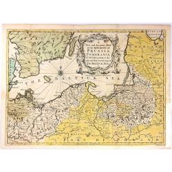
A New and Accurate Map of the Kingdom of Prussia,...
A pleasing and a detailed map of the Kingdom of Prussia
Date: London, 1757
Selling price: ????
Please login to see price!
Sold in 2016
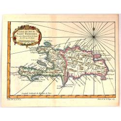
Carte de L'Isle de Saint Dominique.
A fine map of the island of Saint Dominique or Santo Domingo or Hispaniola, divided by the countries of Haiti and Dominican Republic. From the atlas “Histoire Generale ...
Date: Paris, 1757
Selling price: ????
Please login to see price!
Sold in 2018
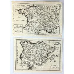
(2 Maps) Aloud Spanje & Gallia Narbonensis Lugdunensis et Aquitania
Two unusual maps of Ancient Europe by H. Besseling in Utrecht ca. 1757. One is of Ancient Spain (Aloud Spanje), and the other is of Ancient France, (Gallia Narbonensis et...
Date: Utrecht, 1757
Selling price: ????
Please login to see price!
Sold in 2018
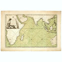
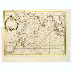
Jacques Nicolas Bellin: Carte Reduite De L'Ocean Oriental ou Mer Des Indes Seconde Edition Pour Servir aux Vaisseau du Roy . . . Par order de M. De. Machault . . . MDCC LVII
This map is a second state of Bellin's map of the Indian Ocean and is significantly revised from the first edition of 1740. Significant revisions are shown in Australia a...
Date: Paris, 1757
Selling price: ????
Please login to see price!
Sold in 2018
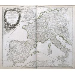
Imperium Caroli Magni Occidentis Imperatoris...
An attractive and detailed map of Charlemagne's empire, from England to the Mediterranean Sea. Includes the Low Countries, Germany, France, Spain, Switzerland, Austria, I...
Date: Paris, 1757
Selling price: ????
Please login to see price!
Sold in 2016
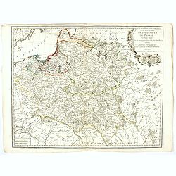
Les Royaumes De Pologne Et De Prusse Par Tobias Mayer . . . Chez Daumont . . . 1757
Rare map of Poland, Prussia, Russia and surrounding regions, based upon the map of Tobias Mayer.Published by Jean-Francois Daumont, who was active in Paris between approx...
Date: Paris, 1757
Selling price: ????
Please login to see price!
Sold
Eine Karte Von Dem Orenburger.
Fine detailed engraved map of the Orenburg region of Russia. It has a lovely Baroque cartouche. It was by Jonas Hanway in 1754.Orenburg is the administrative center of Or...
Date: Frankfurt, 1757
Selling price: ????
Please login to see price!
Sold in 2019
Gouvernement General D'Orleanois.
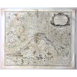
A beautiful 1753 de Vaugondy map of the Orleans Region in Central France. It covers from Corbeil-Essonnes south to Vatan in the north and from Tours east as far as Sens a...
Date: Paris, 1757
Selling price: ????
Please login to see price!
Sold in 2019
Charte Braunscheweigisch Luneburgischen Communion Hartze . . .
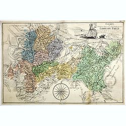
Manuscript drawn by L.F. Knorre in 1757 after information provided by J.H. Eggers. Showing part of the Duchy of Brunswick-Luneburg in what is now northern Germany.The map...
Date: Germany, 1757
Selling price: ????
Please login to see price!
Sold
Plan de la ville de Berlin capitale de l'Électorat de Brandebourg et la résidence ordinaire du roi de Prusse. Berlin et Amsterdam, Sr. Neaulm, 1757.
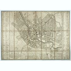
Superb and very rare planof Berlin, reduced after a 4 sheet plan made under the direction of the Count of Schmettau. The map was co-published in Amsterdam and Berlin by J...
Date: Berlin, Amsterdam, 1757
Selling price: ????
Please login to see price!
Sold in 2017
Plan de Cassel vérifié par Léopold capitaine ingénieur.
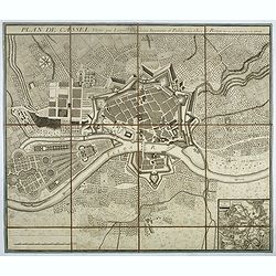
Beautiful town-plan of Kassel in Bavaria, reviewed by the captain engineer Johann Christian Leopold.Below right, an inset map of Kassel and its surroundings. The north is...
Date: Paris, 1757
Selling price: ????
Please login to see price!
Sold in 2017
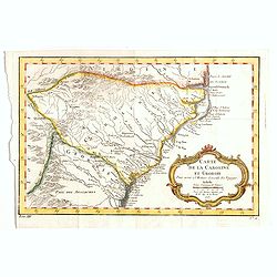
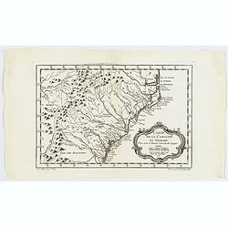
Carte de la Caroline et Georgie..
Common map depicting the eastern coast of the United States from Savannah to Edenton as well as the inland corresponding to today Carolinas. Includes part of Georgia.Jacq...
Date: Paris, 1757
Selling price: ????
Please login to see price!
Sold in 2017
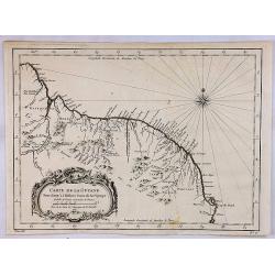
Carte de la Guyane.
A map of the Guyanas - present day Guyana, Suriname and French Guiana, including Paramaribo and Cayenne. The map features a decorative rococo style title cartouche. By Be...
Date: Paris, 1757
Selling price: ????
Please login to see price!
Sold in 2018
[detail from] Nova illustrissimi principatus Pomeraniae descrptio.. .
"only a small number of copies were printed and so this edition is a very rare object today" (Scharfe).
Date: Amsterdam, 1618-1757
Selling price: ????
Please login to see price!
Sold in 2018
Carte de l'empire d'Allemagne. . .
Detailed map of Germany from his "Atlas Universel".Gilles Robert de Vaugondy (1688–1766), also known as Le Sieur or Monsieur Robert, and his son, Didier Rober...
Date: Paris, 1757
Selling price: ????
Please login to see price!
Sold
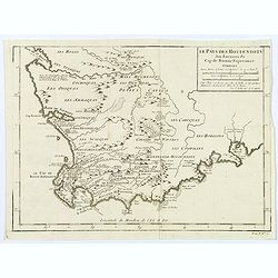
Le Pays des Hottentots aux environs du Cap de Bonne Espérance. . .
A good, competent, engraved map of Cape of Good Hope. The geographical features are typical, with somewhat exaggerated bays, inlets and prominent mountain ranges.The west...
Date: Paris, 1757
Selling price: ????
Please login to see price!
Sold in 2020
Carte de la Caroline et Georgie.
A pleasant map depicting the eastern coast of the United States from Savannah (GA) to Edenton (NC) as well as the inland corresponding to today Carolinas. Includes part o...
Date: Paris, 1757
Selling price: ????
Please login to see price!
Sold in 2019
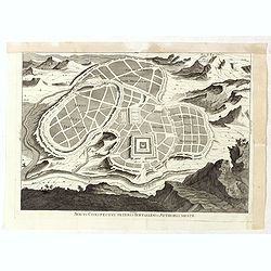
Novus conspectus veteris Ierusalem ex autoris mentes.
Copper engraving with bird’s eye view of ancient Jerusalem. Royal palace, gardens and Solomon’s grave are well-highlighted. Verso is blank.
Date: Amsterdam, 1757
Selling price: ????
Please login to see price!
Sold in 2019
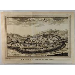
Eauweck Capitale de Camboye.
A highly detailed 1757 Bellin copper engraved panoramic view of the city of Lawec, Cambodia situated halfway along the Mekong River on the way to Phnom Penh. A new Lawec ...
Date: Paris, 1757
Selling price: ????
Please login to see price!
Sold in 2019
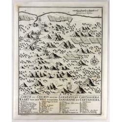
Carte du Chemin Entre Samarang et Cartasoera.
A highly detailed 1757 Bellin map depicting the Road between Semarang and Kartasuro in Java, Indonesia. Semarang is the capital and largest city of Central Java province ...
Date: Paris, 1757
Selling price: ????
Please login to see price!
Sold in 2019
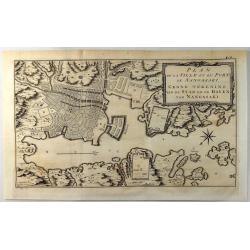
Plan de la Ville et du Port de Nangasaki.
A fine copper engraved map featuring a 'birds-eye' view of Nagasaki, Japan. The map is oriented to the southwest with a bold compass rose. The map locates the principal p...
Date: Paris, 1757
Selling price: ????
Please login to see price!
Sold in 2019
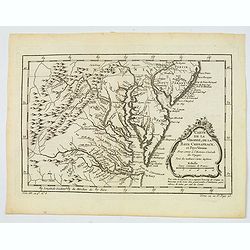
Carte de la Virginie, de la Baye Chesapeack, et Pays Voisins.
An attractive and detailed map of the Chesapeake, Virginia, Maryland, Delaware, just before the settlement between Penn and Lord Baltimore, with Delaware properly shown a...
Date: Paris, 1757
Selling price: ????
Please login to see price!
Sold in 2019
[detail from] Nova illustrissimi principatus Pomeraniae descrptio.. .
One sheet from THE MOST IMPORTANT EARLY MAP OF POMERANIA, the region on the south coast of the Baltic shared between Germany and Poland, from the Recknitz River near Stra...
Date: Amsterdam, 1618-1757
Selling price: ????
Please login to see price!
Sold in 2019
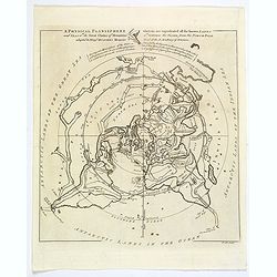
A Physical Planisphere wherein are represented all the known Lands and Seas in the Great Chains of Mountains. . .
This is the elegant 1757 Philippe Buache map of the world represented on an unusual polar projection rendered from the North Pole. The map covers from the North Pole Arct...
Date: London, 1757
Selling price: ????
Please login to see price!
Sold in 2019
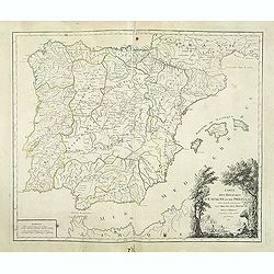
Carte des Royaumes d'Espagne et de Portugal.
Detailed map of Spain, Portugal and Baleares islands. Showing also southwestern part of France and north Africa from his "Atlas Universel".Gilles Robert de Vaug...
Date: Paris, 1757
Selling price: ????
Please login to see price!
Sold in 2019
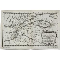
Carte du Cours du Fleuve de St. Laurent Depuis son Embouchure Jusqu'au Dessus de Quebec.
A detailed regional map of Canada, extending from Anticosti Island to just west of Quebec, centred on the St. Laurence River. From Abbe Prevost's "Histoire Generale...
Date: Paris, 1757
Selling price: ????
Please login to see price!
Sold in 2021
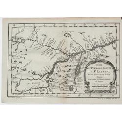
Suite du Cours du Fleuve de St. Laurent Depuis Quebec Jusqu'a au Lac Ontario.
A detailed map of the region between Lake Ontario and the St. Lawrence River to Quebec. The map extends to Lake Champlain and Lake George, as well as Lake Nepissing with...
Date: Paris, 1757
Selling price: ????
Please login to see price!
Sold in 2019
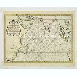
Karte von dem Morgenlaendischen Ocean oder dem Indischen Meere. Zur allgemeinen Historie der Reisebeschreibungen entworfen. . . .
Copper engraving, decorative handcolored in wash and outline. A fine and detailed larger map of the Indian Ocean from Africa towards Southeast Asia and New Holland (Austr...
Date: Leipzig, Merkur, 1758
Selling price: ????
Please login to see price!
Sold in 2013
Partie de la Mer Glaciale Contenant La Nouvelle Zemble.
Detailed copper engraved map of Russia's Nova Zembla and a portion of the Northwest Passage. Produced by Bellin for "L'Histoire Generale des Voyages". Large bal...
Date: Paris, 1758
Selling price: ????
Please login to see price!
Sold in 2015
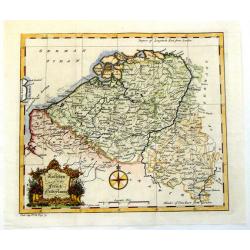
Austrian and French Netherlands.
Interesting copper engraved map featuring the Flanders and Brabant regions bordered by Luxemburg and Artois. Featuring a decorative Rococo title cartouche and a prominent...
Date: London, 1758
Selling price: ????
Please login to see price!
Sold in 2013
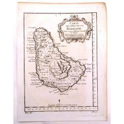
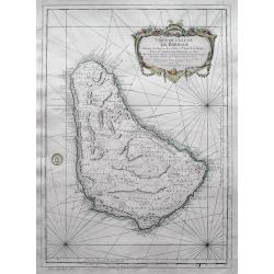
Carte de L'isle de la Barbade.
One of the finest early maps or charts of Barbados. The island is divided into parishes and details cities & towns, mountains, forests, anchorages, shoals, rocks, etc...
Date: Paris, 1758
Selling price: ????
Please login to see price!
Sold in 2017
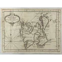
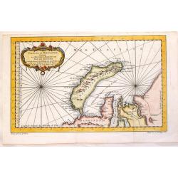
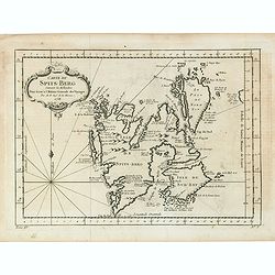
Carte Du Spits-Berg Suivant les Hollandois . . . 1758
A decorative map of Spitsbergen (Svalbard) with the adjacent islands of Franz Josef Land and Jan Mayan. The geographical features are typical with somewhat exaggerated ba...
Date: Paris, 1758
Selling price: ????
Please login to see price!
Sold in 2021
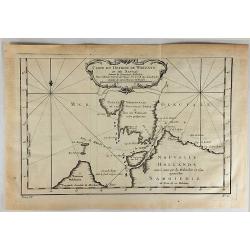
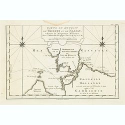
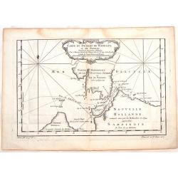
Carte du Detroit de Waigats ou de Nassau.
Showing the Dutch voyage of 1594 which proved Nova Zemlya was an island separated from the continent by the "le Waigats Detroit". Several sounding shown and one...
Date: Paris, 1758
Selling price: ????
Please login to see price!
Sold in 2020
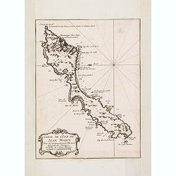
Carte de L'Isle de Jean Mayen. . .
Charming map of Jan Mayen Island, a volcanic island in the Arctic Ocean and part of the Kingdom of Norway. Several sounding shown.From Prevost's l'Histoire générale des...
Date: Paris, 1758
Selling price: ????
Please login to see price!
Sold in 2016
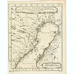
Suite du Golphe de Bothnie. . .
Charming map of the northernmost portion of the Golf of Bothnia, which separates Sweden and Finland. Several sounding shown.From Prevost's l'Histoire générale des voyag...
Date: Paris, 1758
Selling price: ????
Please login to see price!
Sold in 2018
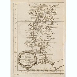
Carte des environs de Tornea. . .
Charming map of the area around Tornio in Finland. Several sounding shown.From Prevost's l'Histoire générale des voyages , the map prepared by J.N. Bellin. Jacques Nico...
Date: Paris, 1758
Selling price: ????
Please login to see price!
Sold in 2017
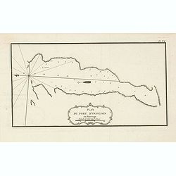
Plan du port d'Ingeson en Norvege.
Charming map of the Porsangerfjorden in northern Norway. The 123-kilometre long fjord is Norway's fourth longest fjord. It is located in the municipalities of Nordkapp an...
Date: Paris, 1758
Selling price: ????
Please login to see price!
Sold in 2021
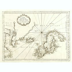
Carte Réduite des Mers du Nord Pour servir a l'Histoire Generale des Voyages.
Detailed sea chart of the coasts of Scandinavia, the British Isles, Iceland (with volcano Hekla), Greenland and contiguous parts of Canada.Prepared by Nicholas Bellin for...
Date: 1758
Selling price: ????
Please login to see price!
Sold in 2014
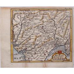
Mogol.
This fine little map shows Northern India and Pakistan including Kabul, Delhi & Gulf of Bengal.
Date: Paris, 1758
Selling price: ????
Please login to see price!
Sold in 2017
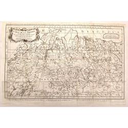
Carte de la Siberie et des Pays Voisins.
An interesting detailed map of North-Western Siberia, extending from the White Sea and the Caspian Sea in the west to Irkuckoi Province.Prepared by Jacques Nicolas Bellin...
Date: Paris, 1758
Selling price: ????
Please login to see price!
Sold in 2015
Carte du Detroit de Waegats ou de Nassau.
Interesting map of Northern Russia featuring the south (warm) side of the island, Nouvelle Zemble, one of the coldest places on earth. By Nicholas Bellin in France in 175...
Date: Paris, 1758
Selling price: ????
Please login to see price!
Sold in 2015
Partie de la Mer Glaciale Contenant la Nouvelle Zemle.
Detailed map of Nova Zembla and part of the Northeast passage in Northwest Russia. Published in "L'HISTOIRE GENERALE DES VOYAGES" by Nicholas Bellin.
Date: Paris, 1758
Selling price: ????
Please login to see price!
Sold in 2017
Carte de l'Isle de la Barbade dressee au Depost des Cartes et Plans de la Marine...
Bellin's famous large scale map of Barbados - one of the best antique maps of the island, with many details such as parishes, villages, churches, streets, anchorages, sho...
Date: Paris, 1758
Selling price: ????
Please login to see price!
Sold in 2016
Kaart van den Oostersen Oceaan, of Indiese Zee......
Intriguing map of the Indian Ocean, with partial outlines of Australia, South East Asia, India, Arabia and Eastern Africa and Madagascar. With title in French (and Dutch ...
Date: Amsterdam, ca 1758
Selling price: ????
Please login to see price!
Sold in 2016
El Asia con toda la Extension de susReinos y Provincias Segun las ultimas y nuevas Observationes
A rare Spanish map of Asia. Translation of the title is - "Asia to the full extent of their Kingdoms and Provinces According to the latest and new Observations."...
Date: Madrid, ca. 1758
Selling price: ????
Please login to see price!
Sold in 2016
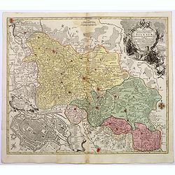
Nova Mappa Geographica Totius Ducatus Silesiae. . .
A striking map of Silesia by Lotter, published in the mid eighteenth century.The map covers central Europe in general, and parts of Poland in particular. Most of Silesia ...
Date: Augsberg, 1758
Selling price: ????
Please login to see price!
Sold in 2017
Karte von dem laufe des Flusses St. Laurenz von seiner Mündung an bis über Quebec. . .1757. [together with] Fernerer Lauf des Flusses St. Laurentz. . .
Two maps of the entrance of the St. Laurence river up beyond Quebec. With a second map from Quebec to Lake Ontario.From a German edition of the ' Histoire. des Voyages'. ...
Date: Augsburg, 1758
Selling price: ????
Please login to see price!
Sold in 2018
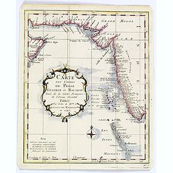
Carte des Costes de Perse Gusarat et Malabar. . .
Detailed copper engraved map of the Persian Gulf and western India, from Perse (Persia), and Grand Mogol in the north, down to the southern tip of India, including the Ma...
Date: Paris, ca. 1758
Selling price: ????
Please login to see price!
Sold in 2018
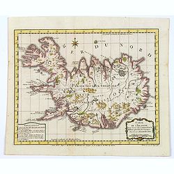
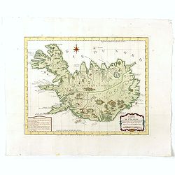
Carte de l'Islande pour servir á la continuation de l'histoire générale des voyages. Dressée sur celle de M. Horrebows.
A good engraved map of the island of Iceland, prepared by Bellin after M. Horrebows, with rococo title cartouche in lower right, explanation table bottom left. From l'His...
Date: Paris, 1758
Selling price: ????
Please login to see price!
Sold in 2017
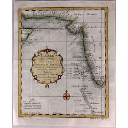
Carte des Costes de Perse, Gusarat et Malabar.
A detailed copper engraved map of the Persian Gulf and western India, from Perse (Persia), and Grand Mogol in the north, down to the southern tip of India, including the ...
Date: Paris, 1758
Selling price: ????
Please login to see price!
Sold in 2017
Carte du Detroit de Waeigats ou de Nassau.
Detailed regional map of the Strait of Waeigats in the Arctic Sea. Includes a decorative title cartouche. One of the maps produced by Bellin for Prevost d'Exiles' influen...
Date: Paris, 1758
Selling price: ????
Please login to see price!
Sold in 2017
Partie de la Mer Glaciale Contenant la Nouvelle Zemble et le Pais des Samoiedes.
An attractive copper engraved map of Nova Zembla, a frigid island north of Russia. It has a decorative rococo title cartouche. Jacques Nicolas Bellin (1703–1772) was a ...
Date: Paris, 1758
Selling price: ????
Please login to see price!
Sold in 2018
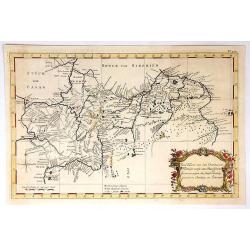
Carte de la Tartarie Occidentale Pour Servir a L'Histoire Generale des Voyages Tiree des Auteurs Anglois.
A map of Western Tartary, covering present-day Northern China and Mongolia. The site of Genghis Khan's ancient Mongol capital of Karakum (Karakorum) is centrally marked o...
Date: Paris, 1758
Selling price: ????
Please login to see price!
Sold in 2019
Carte des XVII provinces des Pays-Bas . . .
Fine two-sheet wall-map size map of present-day The Netherlands and Belgium with a decorative armorial cartouche and small scale of miles.Alexis-Hubert Jaillot (1632-1712...
Date: Paris, 1758
Selling price: ????
Please login to see price!
Sold in 2018
Carte de l'Islande pour servir á la continuation de l'histoire générale des voyages. Dressée sur celle de M. Horrebows.
A good engraved map of the island of Iceland, prepared by Bellin after M. Horrebows, with rococo title cartouche in lower right, explanation table bottom left. From l'His...
Date: Paris, 1758
Selling price: ????
Please login to see price!
Sold in 2019
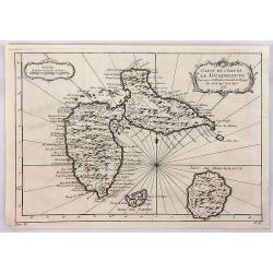
Carte de l'Isle de la Guadeloupe.
Jacques Bellin's elegant map of Guadeloupe, and the adjacent islands of Les Sainte and Marie Galante. With excellent topographical details, many place names, radiating rh...
Date: Paris, 1758
Selling price: ????
Please login to see price!
Sold in 2020
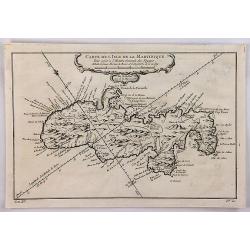
Carte de l'Isle de la Martinique.
A well engraved map of Martinique. The geographical features are typical, with somewhat exaggerated bays and inlets. From the l'Histoire Générale des Voyages. It featur...
Date: Paris, 1758
Selling price: ????
Please login to see price!
Sold in 2018
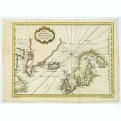
Carte Réduite des Mers du Nord Pour servir a l'Histoire Generale des Voyages.
A lovely general map of the Arctic Regions, including parts of Western, Canada, Greenland, Iceland, Scandinavia, the British Isles, and portions of western Russian shores...
Date: Paris, 1758
Selling price: ????
Please login to see price!
Sold in 2018
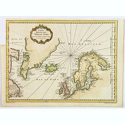
Carte Reduite des Mers du Nord.
A nice detailed sea chart of the coasts of Scandinavia, the British Isles, Iceland, Greenland and contiguous parts of Canada. Includes a decorative title cartouche. One o...
Date: Paris, 1758
Selling price: ????
Please login to see price!
Sold in 2021
Carte de Spits-Berg Suivant les Hollandois.
A detailed map of Spitsbergen with the adjacent islands; the largest permanently populated island of the Svalbard Archipeligo in Norway. It features a French style decor...
Date: Paris, 1758
Selling price: ????
Please login to see price!
Sold in 2018
Carte de l'Islande pour servir á la continuation de l'histoire générale des voyages. Dressée sur celle de M. Horrebows.
A good engraved map of the island of Iceland, prepared by Bellin after M. Horrebows, with rococo title cartouche in lower right, explanation table bottom left. From L'His...
Date: Paris, 1758
Selling price: ????
Please login to see price!
Sold in 2021
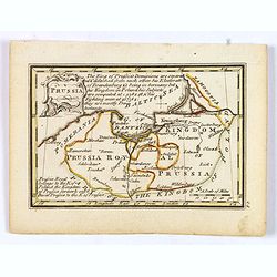
Prussia.
An attractive 18th century miniature map of Prussia which was drawn and engraved by John Gibson for the pocket atlas, Atlas Minimus Illustratus: Containing Fifty-Two Pock...
Date: London, 1758
Selling price: ????
Please login to see price!
Sold in 2021
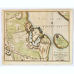
Plan of Stralsund, with the Trenches Lines & Batteries. . .
Stralsund is a Hanseatic town in the Pomeranian part of Mecklenburg-Vorpommern, in Germany. It is located at the Southern coast of the Strelasund, a sound of the Baltic S...
Date: London, 1758
Selling price: ????
Please login to see price!
Sold in 2021
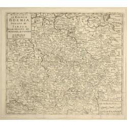
Nuova Carta del Regno di Boemia, Ducato di Slesia, Marchesato di Moravia e Lusazia.
Detailed map of the Southern part of Poland, Moravia and Bohemia, pubished in Italian edition of Thomas Salmon's "Modern History", published in Naples by Franc...
Date: Venice, 1758
Selling price: ????
Please login to see price!
Sold in 2021
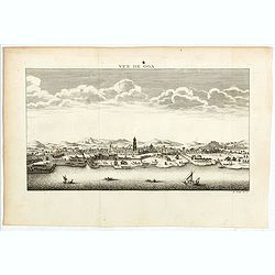
Vue de Goa.
Fine plan of Goa. Goa was made as capital of the Portuguese Vice-Kingdom in Asia, and the other Portuguese possessions in India.
Date: Paris, 1758
Selling price: ????
Please login to see price!
Sold in 2022
![[detail from] Nova illustrissimi principatus Pomeraniae descrptio.. .](/uploads/cache/41152-250x250.jpg)
![[detail from] Nova illustrissimi principatus Pomeraniae descrptio.. .](/uploads/cache/43600-250x250.jpg)
![Karte von dem laufe des Flusses St. Laurenz von seiner Mündung an bis über Quebec. . .1757. [together with] Fernerer Lauf des Flusses St. Laurentz. . .](/uploads/cache/39140-250x250.jpg)
