Browse Listings
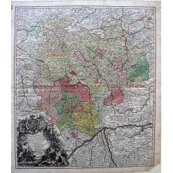
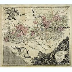
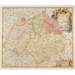
Marchionatus Onoldini....
Map of Southeast Germany. Matthaus Seutter, of Augsburg, began as an apprentice to Homann in 1697. He started publishing in 1728, and rather than printing original maps, ...
Date: Augsburg, 1740
Selling price: ????
Please login to see price!
Sold in 2010
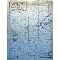
A Large Chart of The Channell Between England And France.
A striking nautical chart detailing of the channel between England and France.
Date: London, 1740
Selling price: ????
Please login to see price!
Sold in 2010
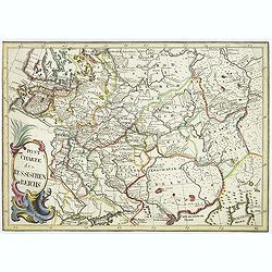
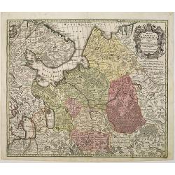
Post Charte des Russischen Reichs.
Rare map of Russia showing the postal roads. Large title cartouche in lower left corner.More about post road mapspost route maps.
Date: Germany, ca. 1740
Selling price: ????
Please login to see price!
Sold in 2010
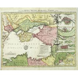
Des neueroffneten Kriegs-Theatri in Rusland und Turckey..
A rare map of the Black Sea, the scene of Russia-Turkish hostilities in 1736-9. The inset fortification plans feature Constantinople, Azov, Bendery and the strongholds at...
Date: Nuremberg 1740
Selling price: ????
Please login to see price!
Sold in 2010
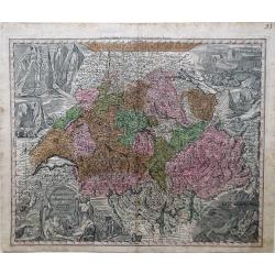
Nova Totius Helvetia cum Suis Surditus ac Sociis.
Decorative map of Switzerland with vignettes of the Alps in the upper right and left corners and bottom right corner and a decorative cartouche in the lower left corner.
Date: Augsburg, 1730-1740
Selling price: ????
Please login to see price!
Sold in 2010
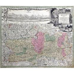
Carinthia Ducatus destineta in Superiorem, et Inferior. Cum infertis Dominiis ad Archiep Salisburgens et Episcop. Bambergensis pertinentibus nova mappa Geographica ob oculos et venum exposita per Matth. Seutter.
Decorative map of the region of the duchy of Carinthia in southern Austria bordering the eastern Alps. The map shows many details of the regions, such as mountains, abbey...
Date: Augsburg, 1730-1740
Selling price: ????
Please login to see price!
Sold in 2010
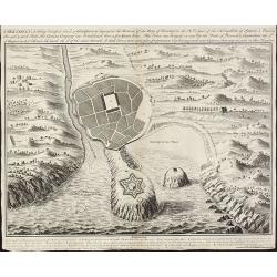
St. Sebastian. A strong fortified town of Guiapuscoa laying at the bottom of the Bay of Biscay
A very rare plan of San Sebastian in Spain by W.H. TomsThis copper engraved plan of San Sebastian was drawn by G. S. Baudwin and sold, engraved and published by W. H. Tom...
Date: London, 1740
Selling price: ????
Please login to see price!
Sold in 2010
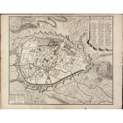
Plan de la ville de Brusselle, Ville Noble au Duche de Brabant, et les delices des Pays Bas.
Impressive and scarce plan of Brussels by Covens & Mortier. This city plan was engraved by F. De Bakker and published in Amsterdam after 1712. The plan is a copy of t...
Date: Amsterdam, 1740
Selling price: ????
Please login to see price!
Sold in 2010
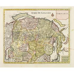
Tartaria.
A fine map of Siberia, including Korea and Japan. From "Atlante Novissimo Che Contiene Tutte Le Parti Del Mondo...." This atlas was published in Venice and was ...
Date: Venice, 1740
Selling price: ????
Please login to see price!
Sold in 2012
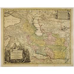
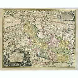
Imperii Persici in omnes suas Provincias . . . Exacte Divisi Nova Tabula Geographica. . .
Showing the eastern part of Turkey and Cyprus, Palestine, Persian Gulf, including Gulf of Oman, Caspian Sea, Iran and the north-west territories of India.Embellished with...
Date: Nurenberg, 1740
Selling price: ????
Please login to see price!
Sold in 2010
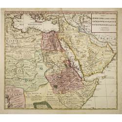
Carte de L'Egypte de la Nubie de L'Abissinie. . .
Prepared by G.de l'Isle. Uncommon issue by Hendrik de Leth. Very detailed map of northeastern Africa, the Red Sea and the Arabian peninsula shows the political divisions ...
Date: Amsterdam, 1740
Selling price: ????
Please login to see price!
Sold in 2010
Mappae Imperii Moscovitici pars Septentrionalis.
Detailed map of northern Russia embellished with an uncolored pictorial cartouche showing hunting scenes.Good detail in Lapland, the White Sea and Archangel. St. Petersbu...
Date: Augsburg, 1740
Selling price: ????
Please login to see price!
Sold in 2010
Petr Welikij imperator i camoderschez wserossinskij oschez oschetscheschewa (rossice). Petrus Magnus totius Russiae imperator et autocrator.
Mezzo tint by A. Zouboff, after J. G. Tannauer. Very rare variant of the portrait of Peter the Great with a Cristal Czar cross and crown. Another version is known where t...
Date: St. Petersburg, c. 1740
Selling price: ????
Please login to see price!
Sold in 2014
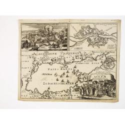
Accurater Grundriss und gegend des vestung Asoph samt der Russischen Belagerung.
A map of the Black Sea with in top a plan and siege of the town of Asoph, "Prospect und Belagerung der Vestung Asoph” and "Plan “Wahrer Grundriß der Vestun...
Date: Germany, c.1740
Selling price: ????
Please login to see price!
Sold in 2010
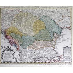
Carte d'Hongrie en general contenant felon la Division ancienne & methodique, la Hongrie en particulier, la Croatie, la Dalmatie, la Bosnie, la Servie, la Boulgarie; la Principaute de Transylvanie, les Defpotats de Walacie & de Moldav...
A fine map of the Balkan region, including Hungary, Romania, Bulgaria, Bosnia, Serbia, Macedonia and the eastern regions of the Black Sea, by Johann Matthias Haas (Hasius...
Date: Nuremberg: c.1740
Selling price: ????
Please login to see price!
Sold in 2010
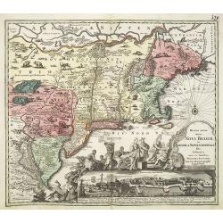
Recens edita totius Novi Belgii in America Septentrionali.
This most spectacular map, based on the Janssonius' map of the area. A wonderful cartouche adjacent to the title shows a long line of gods and natives bringing forth gift...
Date: Augsburg, 1730-1740
Selling price: ????
Please login to see price!
Sold in 2011
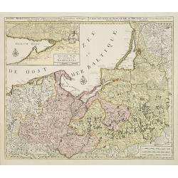
Regni Borussiae.. Royaume de Prusse. . .
Rare map of Prussia, with inset map of the area around Kaliningrad (Koningsberg), the capital of Kaliningrad region, and an exclave of White European Russia, on the Prego...
Date: Amsterdam, 1740
Selling price: ????
Please login to see price!
Sold in 2010
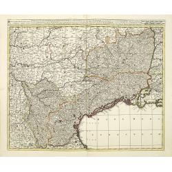
Praefectura generalis Languedociae olim Occitania.
Detailed map of Languedoc and contiguous regions. Published by Gerard and Leonard Valk.
Date: Amsterdam, 1740
Selling price: ????
Please login to see price!
Sold in 2011
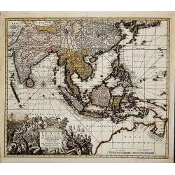
India Orientalis
First state (before the privilege, which was granted not before 1740). Map of South-East Asia showing the area between India in the West and Japan and Australia in the Ea...
Date: Augsburg, c. 1730-1740
Selling price: ????
Please login to see price!
Sold in 2014
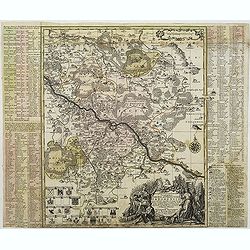
Accuratissima delineatio Geographica Dioecesis Ac Prefecture Dresdensis. . .
Detailed map centered of Dresden. Legend in the left and the right of the map. Beautiful title cartouche in the lower right corner.This edition by Seutter, another, later...
Date: Augsburg, c. 1740
Selling price: ????
Please login to see price!
Sold in 2015
Anhaltinus Principatus Stirpis Ascaniensis felicitate hodiè florens geographi. . .
Map of Anhalt in eastern Germany, reaching from Magdeburg to Wittenberg, Halle/Saale and Quedlinburg. Large and very decorative pictorial cartouche, two further baroque c...
Date: Augsburg, 1740
Selling price: ????
Please login to see price!
Sold in 2012
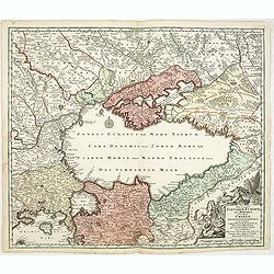
Nova et accurata Tartariae Europae seu Minoris et in specie Crimeae. . .
Rare map of the Black Sea area, showing Southern Russia, including the Ukraine, Cossack Regions and the Southern part of Muscovy, parts of Lithuania, and Poland In lower ...
Date: Augsburg, 1740
Selling price: ????
Please login to see price!
Sold in 2011
Imperii Persici in omnes suas Provincias . . . Exacte Divisi Nova Tabula Geographica. . .
Showing the eastern part of Turkey and Cyprus, Palestine, Persian Gulf, including Gulf of Oman, Caspian Sea, Iran and the north-west territories of India.Embellished with...
Date: Nurenberg, 1740
Selling price: ????
Please login to see price!
Sold in 2014
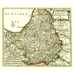
Ducatus Geldria Te Trachia Arnhemiensis Sive Velavia.
Detailed map covering Amersfoort, Elburg, Zwolle, Deventer, Zutphen, Doesburgh, Wageningen, etc.
Date: Amsterdam, 1740
Selling price: ????
Please login to see price!
Sold in 2022
Circulus Saxoniae Superioris ..
Detailed and decorative map centered Leipzig and including Dresden, Meissen, Erfurth, etc. With fine title cartouche with Hercules, putti and a fanciful view of Leipzig.
Date: Nuremberg, 1740
Selling price: ????
Please login to see price!
Sold in 2020
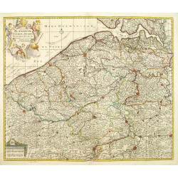
Comitatus Flandriae universe in ditiones. . .
Detailed map of Flandriae. Showing the cities of Lens, Lille, Bethune, Brugge, Gent. Beautiful title cartouche surrounded by 5 cherubs.
Date: Amsterdam, 1740
Selling price: ????
Please login to see price!
Sold in 2011
[Portrait] Johannes Baptista Homann . . .
Stunning full portrait of the Imperial Geographer of the Holy Roman Empire, Johann Baptist Homann (1664-1724) who was born in the Bavarian town of Kammlach. Educated at a...
Date: Nuremberg, c.1740
Selling price: ????
Please login to see price!
Sold in 2020
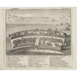
Isoletta Desima abittata Dagli Olandesi nel Giappone..
Bird's-eye view of Deshima copied from a manuscript by Voogt, who was second-in-command on Deshima in 1713. The island is viewed from the landside, depicting the developm...
Date: Venice, 1740
Selling price: ????
Please login to see price!
Sold in 2020
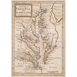
A new map of Virginia and Maryland.
Detailed folding map of the Chesapeake Bay region, showing towns, rivers, inlets, shoals, Islands, and other details. Predates the resolution of the Dispute between the P...
Date: London 1741
Selling price: ????
Please login to see price!
Sold
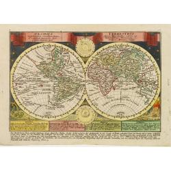
Globus Terrestris ex probatissimis recentiorum?.
Attractive copper engraved map of the world. Charming double hemisphere map surrounded by engravings of the heavens and natural phenomena such as waterspouts, a rainbow, ...
Date: Leipzig, 1741
Selling price: ????
Please login to see price!
Sold
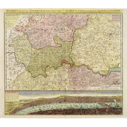
Regionis, quae est circa Londinum ..
Detailed map of greater area of London. At bottom an panoramic view (116x569mm). A most decorative item.
Date: Nuremberg 1741
Selling price: ????
Please login to see price!
Sold
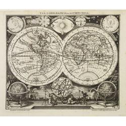
Tab. I. Geographia et Astronomia.
Small and very decorative double hemisphere map with California depicted as an Island.Australia includes the western and northern coasts and the discoveries of Van Diemen...
Date: Leipzig 1741
Selling price: ????
Please login to see price!
Sold
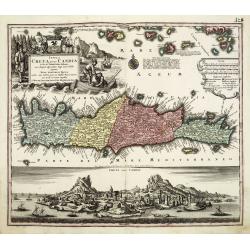
Insula Creta nunc Candia. . .
One of the most spectacular maps of Crete, divided into its four territories, and the islands to its north. The lower part is filled with a bird's-eye view of the city of...
Date: Augsburg, 1741
Selling price: ????
Please login to see price!
Sold in 2011
Novus Orbis potius Altera Continens Sive Atlantis Insula . . .
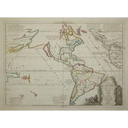
This is a very unusual map of the Americas, noted in the cartouche to illustrate the mythical island of Atlantis. The Great Lakes are shown but are still very misshapen a...
Date: Paris, 1741
Selling price: ????
Please login to see price!
Sold in 2011
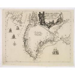
Gronlandia antiqua secundum utramque partem Orientalem & Occidentalem . . .
A rare map of Greenland showing the southern part of Greenland, Davis Strait, and part of Baffin Island, including Cape Dyer. Decorative elements include ships and Inuits...
Date: Copenhagen, Johan Cristoph Groth, 1741
Selling price: ????
Please login to see price!
Sold in 2014
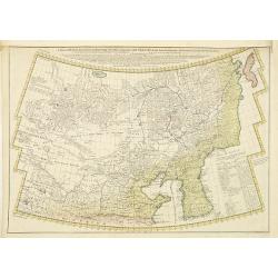
A General Map of Eastern and Western Tatary, commonly call'd Tartray, drawn from the Particular Maps of the Jesuit Missionaries. . .
Important map covering the region from the Gobi Desert to the coast, and including Korea. Including the Great Wall. The Korean peninsula is a bit distorted, and covered w...
Date: London, T.Gardner, 1738-1741
Selling price: ????
Please login to see price!
Sold in 2010
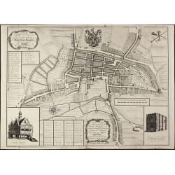
A New and Accurate Plan of the Ancient Borough of Bury Saint Edmunds in the Country of Suffolk By Alexander Downing. 1740
Important and very rare plan of Bury St. Edmunds by A. DowningA large and detailed copper engraved plan of Bury St. Edmunds, Suffolk, drawn and published by Alexander Dow...
Date: London, 1741
Selling price: ????
Please login to see price!
Sold in 2010
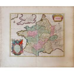
Gallia vetus ex C.Iulii Caesaris Comentariis Descripta.
Sanson map of France republished by the Covens and Mortier firm, with fine color. Depicts France described by Julius Caesar marking the locations of tribes and ancient to...
Date: Amsterdam, 1741
Selling price: ????
Please login to see price!
Sold in 2010
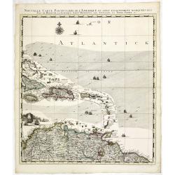
Nouvelle Carte Particuliere de l\'Amerique ou sont Exactement Marquees les Iles de Bermude, la Iamaique, Saint Domingue, les Antilles la Terre Ferme. . .
The lower right maps, with its own border title, of the four sheet Dutch edition of Popple's monumental map of North America.It covers the region from Bermuda through the...
Date: Amsterdam, 1741
Selling price: ????
Please login to see price!
Sold in 2013
Platea ac Templum D: D: Joannis et Pauli et proxime magnum Sodalitium D. . .
Very fine etching with engraving by Michele Giovanni Marieschi (1696-1743), from the book "Magnificentiores selectioresque urbis Venetiarum prospectus".Michele ...
Date: Venice, 1741
Selling price: ????
Please login to see price!
Sold in 2014
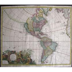
America Aurea Pars Altera Mundi.
Extremely rare and gorgeous map of America, seldom offered on an auction. California is taken from the second Sanson map published by the Valk family, with rugged coastli...
Date: Amsterdam, 1741
Selling price: ????
Please login to see price!
Sold in 2014
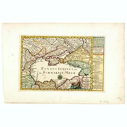
Die Europaeische oder kleine Tartarey, nebst den angraentzenden Laendern. . ..
Showing the Black Sea region. Uncommon map from the "Atlas Selectus" by the German cartographer Johann Georg Schreiber (1676-1750). Schreiber followed in the fo...
Date: Leipzig, 1741
Selling price: ????
Please login to see price!
Sold in 2015
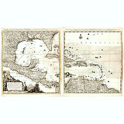
[Gulf of Mexico showing entire Texas coast, and extending east to Florida]
Untitled sheets from Ottens’ important 6-sheet wall map: "Grand Théâtre de la Guerre en Amérique suivant les plus nouvelles observations des Espagnols, Anglois,...
Date: Amsterdam, 1741
Selling price: ????
Please login to see price!
Sold in 2016
Nouvelle Carte Particuliere de l'Amerique ou sont Exactement Marquees les Iles de Bermude, la Iamaique, Saint Domingue, les Antilles la Terre Ferme. . .
The two lower maps, with their own border title, of the four-sheet Dutch edition of Popple's monumental map of North America.It covers the region from Bermuda through the...
Date: Amsterdam, 1741
Selling price: ????
Please login to see price!
Sold
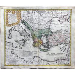
Imperii Turcici Europaei Terra in primis Graeciae.
A fine, large map delineating the Eastern Mediterranean with the possession of the Turkish empire. Homann Heirs (of Johann Baptist and Johann Christof) published differen...
Date: Nurnberg, 1741
Selling price: ????
Please login to see price!
Sold in 2018
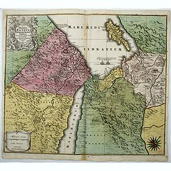
Deserta Aegypti Thebaidis, Arabiae, Syriae etc.
An attractive map of Egypt, northern Arabia, the Holy Land, Syria and Cyprus. From Seutter's "Atlas Novus". Map shows many physical features, biblical scenes, s...
Date: Augsburg, 1741
Selling price: ????
Please login to see price!
Sold in 2017
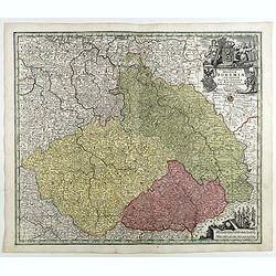
Mappa Geographica Regnum Bohemiae Cum Adiunctis Ducatu Silesiae, . . .
Map of part of Germany, Czech Republic and Poland, with engraved detailed hand colored map. Includes decorative cartouche. Shows cities and towns, place names, rivers, fo...
Date: Augsbourg, 1741
Selling price: ????
Please login to see price!
Sold in 2018
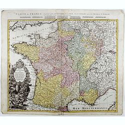
Regni Galliae seu Franciae et Navarrae.
A secondary title in French above the map : "Carte de France dressée par Guillaume de L'Isle et accomodée par les Heritiers d'Homann. With a large decorative title...
Date: Nuremberg, 1741
Selling price: ????
Please login to see price!
Sold in 2021
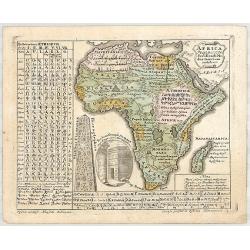
AFRICA Poly Glotta Scribendi Modos Gentium. . .
A rare separate thematic map of AFRICA from the set of 4 maps of the continents, identifying the distribution of languages of the world from "Synopsis Universae Phil...
Date: Nurenberg, 1741
Selling price: ????
Please login to see price!
Sold in 2019
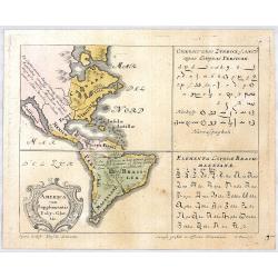
AMERICA cum Supplementis Poly Glottis.
A rare separate thematic map of AMERICA from the set of 4 maps of the continents, identifying the distribution of languages of the world from "Synopsis Universae Phi...
Date: Nurenberg, 1741
Selling price: ????
Please login to see price!
Sold in 2020
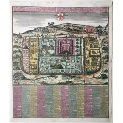
Statt Ierusalem.
Jerusalem at the time of Christ. An imaginary plan, drawn after Adrichomius. Extensive title at top in Latin (L) and German (R): ‘Ierusalem, cum suburbiis, prout tempor...
Date: Augsburg, 1741
Selling price: ????
Please login to see price!
Sold in 2020
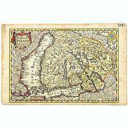
Das Gros-Hertzogthum Finland. . .
A scarce map shows the southern part of Finland with the cities Oulu, Kajana, Vasa, Helsinki, Kristinestad, Hollola and the now Russian city Wyborg in the historic area o...
Date: Leipzig, ca 1741
Selling price: ????
Please login to see price!
Sold in 2021
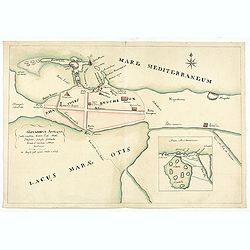
Alexandria antiqua juxta mentem . . .
Manuscript hand colored map of the ancient city of Alexandria, probably carried out by P.N. Bonamy. With an inset map. The book "Description of the City of Alexa...
Date: Paris, 1741
Selling price: ????
Please login to see price!
Sold in 2023
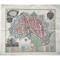
Hannoverae / Hannover
A map of the city of Hannover in Germany, 'Altstadt' and 'Neustadt'), depicted within its fortifications with all its streets and important buildings, with very detailed ...
Date: Augsburg, 1741
Selling price: ????
Please login to see price!
Sold in 2022
A compleat Body of Ancient Geography both Sacred and Profane…
The third edition enlarged with eleven maps of Laurenberg and Blanchard. Atlas with 63 engraved maps. It includes 6 maps, in 7 sheets, making up a large map of the Holy L...
Date: The Hague, and sold by T.Osborne of London 1741
Selling price: ????
Please login to see price!
Sold in 2024
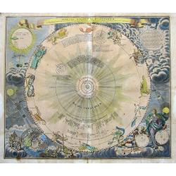
Systema Solare et Planetarium. . .
A fantastic celestial chart showing the motion of the planets, and the zodiac signs according to Copernicus. In the bottom left with a solar eclipse projected onto a terr...
Date: Nuremberg, 1742
Selling price: ????
Please login to see price!
Sold in 2019
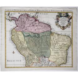
Tabula geographica Peruae Brasiliae & Amazonum Regionis.
Covens & Mortier's large size detailed map of the northern part of South America, after Guillaume De L'Isle, 1721-1742.Full title on the map: 'Tabula geographica Peru...
Date: Amsterdam, 1721-1742
Selling price: ????
Please login to see price!
Sold in 2020
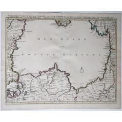
Seconde partie de la Crimee, la Mer Noire &c.
A map of the Black Sea with the coasts of the surrounding countries. From Istanbul (Constantinople) over Romania, Bulgaria, the southern tip of the Crimean, Russia, Georg...
Date: Amsterdam, 1742
Selling price: ????
Please login to see price!
Sold in 2021
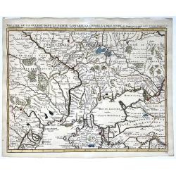
Theatre de la guerre, Petite Tartarie, Crimee, Mer Noire.
A map of the Crimea and the surrounding regions by Guillaume de Lisle, 1675-1726; Covens et Mortier, 1742. Full title and impressum above: 'Theatre de la guerre dans la P...
Date: Amsterdam, 1742
Selling price: ????
Please login to see price!
Sold in 2021
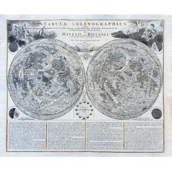
Tabula Selenographica in qua Lunarium. . .
A fantastic and important chart of the Moon after Johann Gabriel Doppelmayr, from the "Atlas Coelestis in quo Mundus Spectabilis". It shows a comparison of the ...
Date: Nuremberg, ca 1742
Selling price: ????
Please login to see price!
Sold in 2021
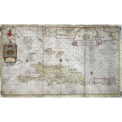
Nieuwe en Naaukeurige Paskaart van Het Eyland Hispaniola of St. Domingo met alle desselfs Havenen, Dieptens en Ankergronden, als meede de door passeeringe tusche de Caiques en andere Eylanden. ..
Fine Sea Chart of Puerto Rico and Hispaniola, published by Johannes Van Keulen II. A rare map since these larger sized sheets were never published in atlases but were ra...
Date: 1742
Selling price: ????
Please login to see price!
Sold in 2022
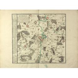
Nouveau Plan de la Ville de Prague Et de ses Environs, Capiltale de Bohème
A rare separately issued battle plan of Prague by Baillieul and Jombert. Showing the Siege of Prague in 1742 with deployment of troops. With one mileage scale, text carto...
Date: Paris, 1742
Selling price: ????
Please login to see price!
Sold in 2011
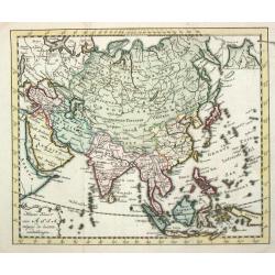
Asia.
An attractive pocket-size map of the Asian continent.
Date: Amsterdam, 1742
Selling price: ????
Please login to see price!
Sold
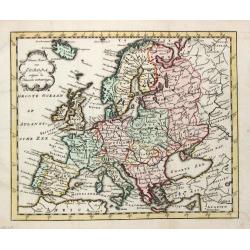
Nieuwe Kaart van Europa.
A map of Europe from a Dutch pocket-atlas.
Date: Amsterdam/ Deventer, 1742
Selling price: ????
Please login to see price!
Sold
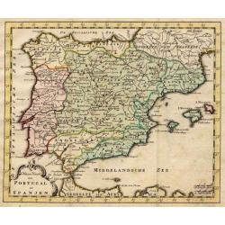
Nieuwe Kaart van Portugal en Spanjen.
A small map of the Iberian peninsula.
Date: Amsterdam/ Deventer, 1742
Selling price: ????
Please login to see price!
Sold
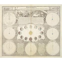
Phoenomena Motum Irregularium quos Planetae inferiores Venus et Mercurius ad annum Salutis MDCCX.
Handsome celestial chart in the form of a sphere with a large engraved scene in top left of Venus sitting in a chariot drawn by six horses, flying through the heavens abo...
Date: Nuremberg 1742
Selling price: ????
Please login to see price!
Sold
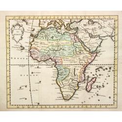
Nieuwe Kaart van Afrika.
An uncommon map of Africa.
Date: Amsterdam/ Deventer, 1742
Selling price: ????
Please login to see price!
Sold
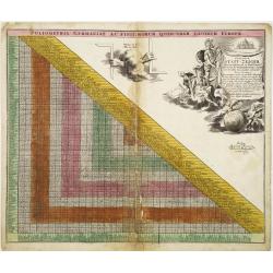
Curjoser Statt-Zeiger der vornemsten ort in Teutschland,..
Engraved by J.B.Homann and published by David Funck. Decorative table of distances between major European cities.
Date: Nuremberg 1742
Selling price: ????
Please login to see price!
Sold
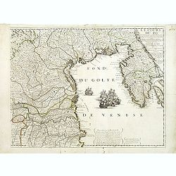
Le Cours du Pô Depuis Turin jusques a ses Embouchures. . . Ce qui fait aujourd'huy Le Théatre de la Guerre en Italie (partie droite seule).
Attractive map of the gulf of Venice, covering the Adriatic coast from the delta of the river Po as far as Istria. It shows many important towns: Ravenna, Ferrara, Vicenz...
Date: Paris, ca. 1742
Selling price: ????
Please login to see price!
Sold in 2019
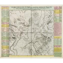
Globi Coelestis in tabulas planas redacti pars VI,..
This is the sixth chart in a series of six depicting part of the night sky on a gnomonic projection with 'the fixed stars for the end of the year of Christ 1730 'accordin...
Date: Nuremberg 1742
Selling price: ????
Please login to see price!
Sold in 2008
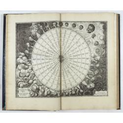
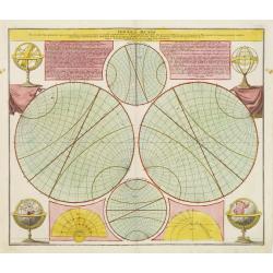
Sphaera Mundi..
An unusual comparative view of the earth rotated at various angles noting the equator and other circles dividing the earth?s surface.This chart is by the famous astronome...
Date: Nuremberg 1742
Selling price: ????
Please login to see price!
Sold
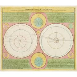
Theoria Planetarium Primariorum,..
Celestial map by Johann Gabriel Doppelmayer, astronomer and cartographer of Nuremberg.The chart has been published by Johann Baptist Homann in the "Atlas Coelestis&q...
Date: Nuremberg 1742
Selling price: ????
Please login to see price!
Sold
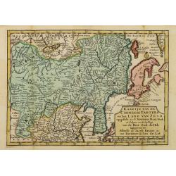
Kaartje van de Chineese Tarters en het land van Jeso..
Attractive and uncommon map of North China with Korea and Jedso. Dutch issue, of this map prepared by de L'Isle. From Atlas Portatif . With a curious and oversized Hokkai...
Date: Deventer, 1742
Selling price: ????
Please login to see price!
Sold in 2011
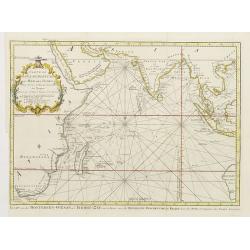
Carte De L'Ocean Oriental ou Mer Des Indes Pour Servir a l'Histoire Generale des Voyages..
Fine chart of Asia from south Africa till the western tip of Australia, including Arabia, India and Indonesia, including Philippines and Taiwan.With Dutch title in lower ...
Date: Amsterdam 1742
Selling price: ????
Please login to see price!
Sold
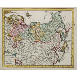
T Russische Ryk zoo in Europa als in Asia.
A map of the Russian empire both in Europe and Asia. Also depicting China and Japan.
Date: Amsterdam, 1742
Selling price: ????
Please login to see price!
Sold
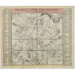
Globi Coelestis in tabulas planas redacti pars V..
This is the fifth chart in a series of six depicting part of the night sky on a gnomonic projection with 'the fixed stars for the end of the year of Christ 1730 'accordin...
Date: Nuremberg, 1742
Selling price: ????
Please login to see price!
Sold in 2008
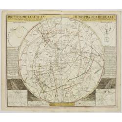
Motus Cometarum in Hemisphaerio Boreali..
Fine chart of the movements of different comets, published in the J.G.Doppelmayr Atlas Coelestis.
Date: Nuremberg, 1742
Selling price: ????
Please login to see price!
Sold
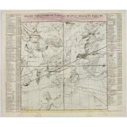
Globi Coelestis in tabulas planas redacti pars IV..
Celestial map by Johann Gabriel Doppelmayr, astronomer and cartographer of Nuremberg. The map has been published by Johann Baptist Homann in the Atlas Coelestis.Doppelmay...
Date: Nuremberg, 1742
Selling price: ????
Please login to see price!
Sold in 2008
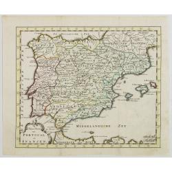
Nieuwe Kaart van Portugal en Spanjen.
Attractive and uncommon map of Spain and Portugal. From Atlas Portatif . RARE.
Date: Amsterdam/ Deventer, 1742
Selling price: ????
Please login to see price!
Sold in 2008
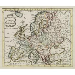
Nieuwe Kaart van Europa.
Attractive and uncommon map of Europe. From Atlas Portatif. RARE.
Date: Amsterdam/ Deventer, 1742
Selling price: ????
Please login to see price!
Sold in 2009

![[Portrait] Johannes Baptista Homann . . .](/uploads/cache/31237-250x250.jpg)

![[Gulf of Mexico showing entire Texas coast, and extending east to Florida]](/uploads/cache/37159-250x250.jpg)
