Browse Listings
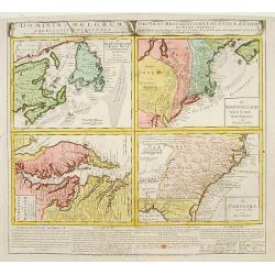
Dominia Anglorum in America Septentrionali/ Sie Gros-Brittanische Colonie Lænder in Nord-America. . .
Four maps on one sheet (Virginia und Maryland; Carolina nebsteinem Theil von Florida; New Engelland, New York, New Yersey und Pensilvania; and New Foundland, od. Terra No...
Date: Nuremberg, 1740
Selling price: ????
Please login to see price!
Sold in 2015
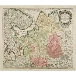
Mappae Imperii Moscovitici pars Septentrionalis..
Detailed map of northern Russia embellished with an uncolored pictorial cartouche showing hunting scenes.Prepared by de l'Isle.
Date: Augsburg 1740
Selling price: ????
Please login to see price!
Sold
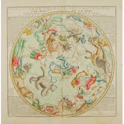
Planisphere celeste Septentrional..
Beautiful celestial chart of the northern skies by the well-known French astronomer, Philippe de La Hire. Surrounded by panels of astronomical notes at each corner. Engra...
Date: Paris 1740
Selling price: ????
Please login to see price!
Sold
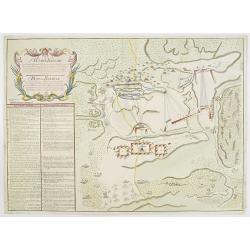
Plan der Bataille bey Stovutschane in der Moldau ..
Rare plan of a siege between the Russian army and the German and Turkish armies. Texts in German and Russian.
Date: Germany 1740
Selling price: ????
Please login to see price!
Sold
[Attractive Manuscript Plan of the Village of Prusy (Prauss), Strzelin (Strehlen) County, near Wrocław (Breslau)]
Attractive manuscript map of the village of Prusy (Prauss), Strzelin (Strehlen) County, near Wrocław (Breslau) and coat of arms of Graf Zierotin - Freiherr von L...
Date: c.1740
Selling price: ????
Please login to see price!
Sold in 2015
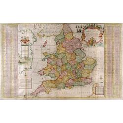
The South Part of Great Britain called England and Wales...
Full Title: The South Part of Great Britain called England and Wales. Containing all the Cities, Market Towns, Boroughs and whatever Places have the Election of Members o...
Date: London, c. 1740
Selling price: ????
Please login to see price!
Sold
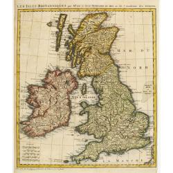
Les Isles Britanniques par Mr. De L'Isle. Geographe du Roy &c.
Uncommon map of the British Isles.
Date: Paris, c.1740
Selling price: ????
Please login to see price!
Sold
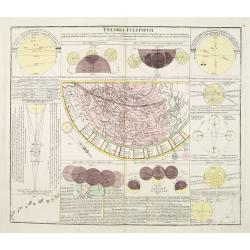
Theoria Eclipsium.
One of a series of celestial maps drawn by Johann Gabriel Doppelmayr, engraved by Homann and published in the Atlas Coelistis by Homann's Heirs.Doppelmayr was an astronom...
Date: Nuremberg 1740
Selling price: ????
Please login to see price!
Sold
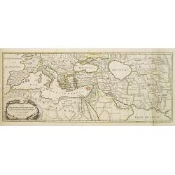
Carte Des Quatre Grandes Monarchies, des Assirieens, des Perse, des Grecs, et des Romains.. Celle Flavius Joseph .
Map covering the entire Mediterranean Basin and the Middle East as far as the borders of India. Outline coloring shows the political division.
Date: Amsterdam 1740
Selling price: ????
Please login to see price!
Sold
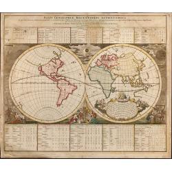
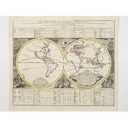
Basis Geographiae recentioris astronomica..
Baroque period world map in double hemispheres showing the shapes of land masses exactly calculated from astronomical observations. Roundel vignettes show cherubs making ...
Date: Nuremberg 1740
Selling price: ????
Please login to see price!
Sold
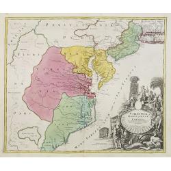
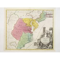
Virginia Marylandia et Carolina.
An attractive and detailed map, covering the coastline from Long Island in the north to just south of Cape Feare in Carolina, with the large fictitious Apalache Lacus in ...
Date: Augsburg 1740
Selling price: ????
Please login to see price!
Sold
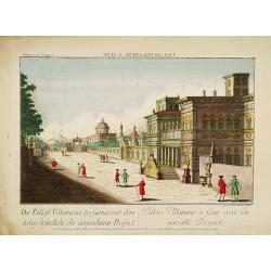
GENUA - Pallais Villamena a Gene avec son agreable Prospecte.
A well-known publisher of optical prints, established in Augsburg. In the eighteenth and nineteenth centuries there were many popular speciality establishments in Paris, ...
Date: Augsburg, 1740
Selling price: ????
Please login to see price!
Sold in 2014
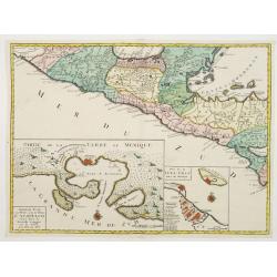
Central America, with inset maps of Acapulco and Vera-Cruz.
RARE map of Mexico and Guatemala, with insets of Acapulco and Veracruz. One sheet from a set of six offered by the Ottens firm in 1739 or shortly thereafter and relate to...
Date: Amsterdam, 1740
Selling price: ????
Please login to see price!
Sold in 2021
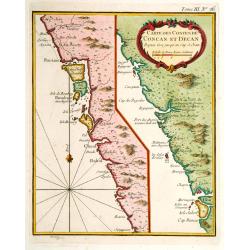
Carte des Costes de Concan et Decan..
Fine map in two parts of the west coast of India. One sheet including Bombay the other part Goa. From Petit Atlas Maritime .Jacques Nicolaas Bellin (1703-1772) was one of...
Date: Paris 1740
Selling price: ????
Please login to see price!
Sold
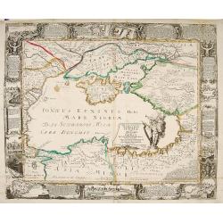
Nova et accurata Tartariae Europae.. Crimeae..
Very rare carte-a-figure map of the Black Sea area. With decorative title cartouche and surrounded by four borders with 10 city views each accompanied by large descriptiv...
Date: Augsburg 1740
Selling price: ????
Please login to see price!
Sold
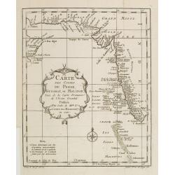
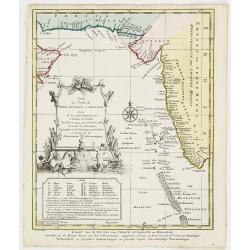
Carte des Costes de Perse, Gusarat et Malabar..
A good engraved map of the Indian Ocean, with the west coast of India, Persia, Maldives and the eastern tip of Arabia. The geographical features are typical with somewhat...
Date: Paris, 1740
Selling price: ????
Please login to see price!
Sold in 2012
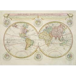
Mappe-Monde ou Description du Globe Terrestre. . .
Very rare large world map in double hemisphere. The map surround is filled with a large number of hemispheres, including one polar hemisphere. Showing the tracks of Magel...
Date: Amsterdam, 1740
Selling price: ????
Please login to see price!
Sold in 2017
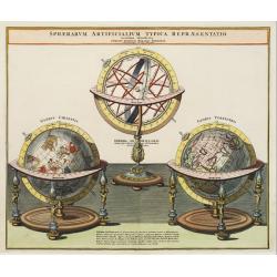
Sphaerarum Artificialium Typica Repraesentatio..
Johann Baptist Homann born in Kammlach (1663). He was engraver, map-seller and geographer to the Kaiser of the Holy Roman Empire (1715). He also was member of the Prussia...
Date: Nuremberg 1740
Selling price: ????
Please login to see price!
Sold
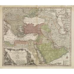
Magni Turcarum Dominatoris Imperium per Europam ..
Alluring map of the Near and Middle East centred on Turkey, giving good detail in the Arabian Peninsula.With large cartouche in lower left depicting figures with turbants...
Date: Augsburg 1740
Selling price: ????
Please login to see price!
Sold
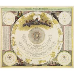
Systema Mundi Tychonicum.
Decorative chart from the important Atlas Coelestis of Johann Gabriel Doppelmayer.The map represents the Tychonic system of the World, that Tycho Brahe introduced in 1577...
Date: Nuremberg 1740
Selling price: ????
Please login to see price!
Sold
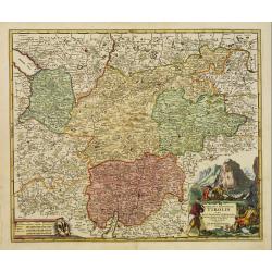
Comitatus Principalis Tirolis..
Very fine and detailed map of Tyrol, covering the towns of Kuffstein, Innsbruck, western part of Boden See, and as far south as tip of Lake Garda with the Italian area Tr...
Date: Nuremberg 1740
Selling price: ????
Please login to see price!
Sold in 2009
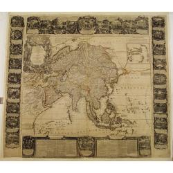
(Wall map) L'Asie Dressée sur les Nouvelles Observations..
A rare Nolin wall map of the continent of Asia, composed from four joined sheets surrounded by text and vignettes printed on separate sheets.Published in Paris and dated ...
Date: Paris 1740
Selling price: ????
Please login to see price!
Sold
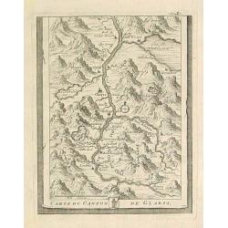
Carte du Canton de Glaris.
From Delice de la Suisse . Including Wallen See.
Date: Austria 1740
Selling price: ????
Please login to see price!
Sold
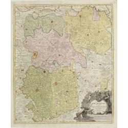
BRABANT
The Homann-family became the most important editors of atlases in Germany during the 18th. century. This map of Brabant shows the quarters: Louvain, Brussels, Antwerp, s...
Date: Nurnberg ca.1740
Selling price: ????
Please login to see price!
Sold
Samuel Pufendorf.
A portrait of Samuel Baron of Pufendorf, author of Suecia Regis.
Date: Amsterdam, 1740
Selling price: ????
Please login to see price!
Sold in 2009
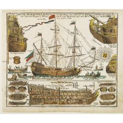
TAB.V. De Architectura Marina..
Decorative print with depiction's of the ship equipment, several ship types and their construction, rigging and further naval formation.
Date: Augsburg 1740
Selling price: ????
Please login to see price!
Sold
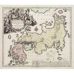
Regni Japoniae Nova Mappa Geographica..
The map is based on Englebert Kaempfer's map of 1727. It shows a much distorted outline for the Island of Japan and a wonderful decorative cartouche top left. The map was...
Date: Augsburg 1740
Selling price: ????
Please login to see price!
Sold
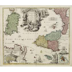
Regnorum Siciliae et Sardiniae.. Melitae seu Maltae ..
Johann Baptist Homann's well-engraved map of Sicily, Sardinia and Malta has a large decorative title cartouche.With ships in the sea and an inset of Valetta in lower righ...
Date: Nuremberg 1740
Selling price: ????
Please login to see price!
Sold
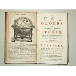
The Use of the Globes or The General Doctrine of the Sphere. To which is added a Synopsis of the Doctrine of Eclipses.
8vo, iv, 162, (2) p., old calf (slightly worn). With engr.front. and 29 fold. maps and plates.Plates includes advertisement of Senex' terrestrial and celestial globes, wo...
Date: London, J.Senex, 1740
Selling price: ????
Please login to see price!
Sold
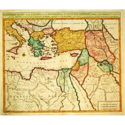
Byzondere Kaart van de Landen daar de Apostelen het Evangelium Gepredikt hebben?en van de weg van Paulus naar Rome.
A map of the eastern Mediterranean. With the track of St. Paul\'s voyage from Cesaere to Rome. From \' Hisoire du Vieux et du Nouveau Testament\', published by Johannes C...
Date: Amsterdam, c. 1740
Selling price: ????
Please login to see price!
Sold
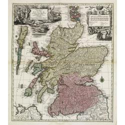
Nova et accurata totius Regni Scotiae, Secundum Omnes Provincias et adjacentes Insulas..
Fully and strongly engraved copper plate map that includes all of Scotland and the New Hebrides, here called the Western Iles of Scotland. The map is filled with minute d...
Date: Augsburg 1740
Selling price: ????
Please login to see price!
Sold
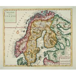
Nuova Carta del Regno di Svezia...
An attractive map of Scandinavia.Albrizzi was the first publisher to issue Tirion's maps: Tirion's own atlas was issued in Amsterdam in 1744.
Date: Venice, Albrizzi, 1740
Selling price: ????
Please login to see price!
Sold
A Japanese couple.
A fine copperplate view of a Japanese couple in rather stylized dress.
Date: Amsterdam 1740
Selling price: ????
Please login to see price!
Sold
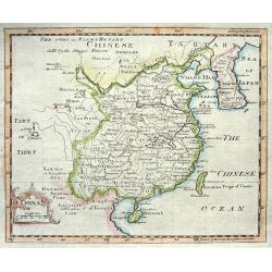
China.
Nice copper engraved map of China including Korea and Formosa (Taiwan) with much topographical detail. With an attractive title cartouche bearing also a distance scale.
Date: London, c1740
Selling price: ????
Please login to see price!
Sold
Carte des Costes de Perse Guzarat et Malabar.
Uncommon edition of this accurate map showing the east coast of India, the Maldives Islands and the eastern tip of Arabia. In lower left corner a lettered key.FromAtlas P...
Date: Amsterdam, 1740
Selling price: ????
Please login to see price!
Sold in 2014
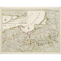
Regni Borussiae.. Royaume de Prusse..
Rare map of Prussia, with inset map of the area around Koningsberg.RARE.
Date: Amsterdam, 1740
Selling price: ????
Please login to see price!
Sold
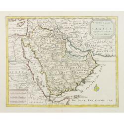
Nieuwe kaart van Arabia.
An attractive map of the Arabian Peninsula here called Gelukkig Arabia or Happy Arabia . The map has a great advance on other maps of the time by showing the true extent ...
Date: Amsterdam, 1740
Selling price: ????
Please login to see price!
Sold
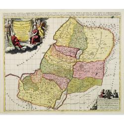
Iudae seu Terra Sancta quae Hebraeorum sive Israelitarum..
A dark impression with decorative cartouches.
Date: Amsterdam, 1740
Selling price: ????
Please login to see price!
Sold in 2009
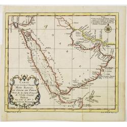
Carte de la coste d'Arabie Mer Rouge et Golfe de Perse.
With typical Rococo cartouche lower left.
Date: Paris, 1740
Selling price: ????
Please login to see price!
Sold in 2021
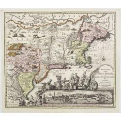
Recens edita totius Novi Belgii in America Septentrionali.
This most spectacular map, the last engraved in the sequence of maps based on the Janssonius' map of the area, shows a multitude of animals and birds and features a view ...
Date: Augsburg, ca. 1730-1740
Selling price: ????
Please login to see price!
Sold
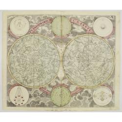
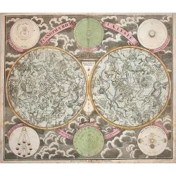
Planisphaerium Caeleste.
A very decorative double hemisphere celestial chart, centered on the North and South Poles.With smaller circular diagrams illustrating the theories of Tycho, Ptolemy and ...
Date: Augsburg, 1740
Selling price: ????
Please login to see price!
Sold
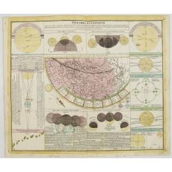
Theoria Eclipsium.
One of a series of celestial maps drawn by Johann Gabriel Doppelmayr, engraved by Homann and published in the Atlas Coelistis by Homann's Heirs.Doppelmayr was an astronom...
Date: Nuremberg, 1740
Selling price: ????
Please login to see price!
Sold
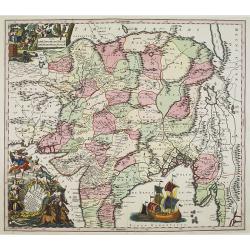
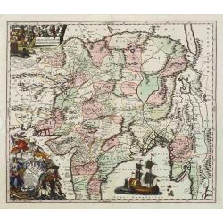
Imperii Magni Mogolis sive Indici Padschach..
Impressive map of the Mongol Empire, including present India (except the southern tip), Pakistan, Afghanistan, parts of Burma, etc.Decorated with two colored pictorial ca...
Date: Augsburg, ca 1740
Selling price: ????
Please login to see price!
Sold
[Five maps on one sheet] Dominia Anglorum in praecipuis Insulis Americae ut sunt Insula S. Christopheri, Antegoa, Iamaica, Barbados nec non Insula Bermudes vel Sommers . . .
Interesting set of 5 maps on a single sheet, showing Jamaica, Bermuda, Antigua, Barbados and St. Kitts. With a large decorative title cartouche. Each map is very detailed...
Date: Nuremberg, 1740
Selling price: ????
Please login to see price!
Sold in 2008
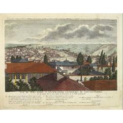
Vuë de ters=hana et Kassim=pacha, fauxbourgs de Constantinople et de leurs Environs situés à l'Orient de la Ville principale.
This rare print is the 9th sheet from an uncommon set forming a panoramic of Istanbul. Engraved by I.G.Thelot and published at the l'Academie Imperiale in Augsburg. The ...
Date: Augsburg, 1740
Selling price: ????
Please login to see price!
Sold in 2008
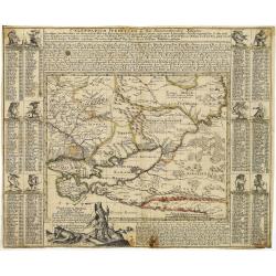
Tartaria Minor. . . . Calendarium Perpetuum oder Ein Immerwährender Kalender. . .
Very rare map of the Crimea and Ukraine, surrounded by a Calendarium Perpetuum. Each month is represented in a block with the the days and its Saint and topped with a dwa...
Date: Augsburg, 1740
Selling price: ????
Please login to see price!
Sold in 2025
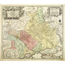
Amplissima Ucraniae Regio Palatinatus Kioviensem et Braclaviensem . . .
An uncommon and attractive map of the Ukraine has excellent detail of the river systems and charming, pictorial topography. It is decorated with two elegantly engraved ca...
Date: Augsburg, 1740
Selling price: ????
Please login to see price!
Sold in 2011
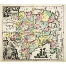
Imperii Magni Mogolis sive Indici Padschach. . .
Impressive map of the Mongol Empire, including present India (except the southern tip), Pakistan, Afghanistan, parts of Burma, etc.Decorated with two colored pictorial ca...
Date: Augsburg, ca 1740
Selling price: ????
Please login to see price!
Sold in 2011
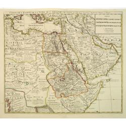
Carte de L\'Egypte de la Nubie de L\'Abissinie. . .
Prepared by G.de l'Isle. Uncommon issue by Hendrik de Leth. Very detailed map of northeastern Africa, the Red Sea and the Arabian peninsula shows the political divisions ...
Date: Amsterdam, 1740
Selling price: ????
Please login to see price!
Sold in 2012
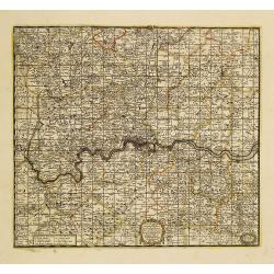
A New Map Containing the Towns Gentlemens Houses Villages and other Remarks Round London . . .
Detailed map showing hundreds of place names in the greater London area, including Darking, Hampsted, Hertford, Guildford, etc.
Date: London, 1740
Selling price: ????
Please login to see price!
Sold in 2011
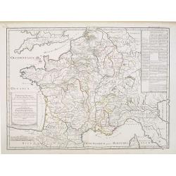
Franciae status sub regibus primae stirpis,. . ./ Etat de la France sous les rois de la première race. . .
A historical map of France depicting the region at the beginning of the Middle Ages. It depicts the kingdom of Clovis, the Founder of France, as it was divided among his ...
Date: Paris, 1740
Selling price: ????
Please login to see price!
Sold
Planisphaerium Caeleste.
A very decorative double hemisphere celestial chart, centered on the North and South Poles.With circular diagrams illustrating the theories of Tycho, Ptolemy and Copernic...
Date: Augsburg, 1740
Selling price: ????
Please login to see price!
Sold in 2016
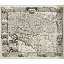
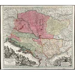
Nova et Accurata Hungariae cum adiacentib. Regn. et Principatibus Tabula
Original old colored map of the Balkan by M. Seutter. Showing Hungary, Serbia, Croatia, Bosnia and Herzegovina and Albania. With two beautiful cartouches.
Date: Augsburg, 1740
Selling price: ????
Please login to see price!
Sold in 2009
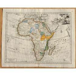
Carta Generale Dell' Africa.
From an Italian edition of "Atlante Novissimo". Published by Albrizzi. With a vignette cartouche in upper right showing a crocodile hunt.
Date: Venice, ca 1740
Selling price: ????
Please login to see price!
Sold in 2008
[Title page] Le Nouveau Theatre du Monde.
A large and finely engraved frontispiece by F. Bleiswyk entitled "Le Nouveau Theatre du Monde" for Pieter van der AA. Shows Atlas carrying the world on his shou...
Date: Leiden, ca. 1740
Selling price: ????
Please login to see price!
Sold in 2021
[Title page] Atlas Novus..
A very large title page featuring the people holding maps and a "Queen" sitting on a globe depicting Africa, Asia and Europe.
Date: Augsburg, ca. 1740
Selling price: ????
Please login to see price!
Sold in 2008
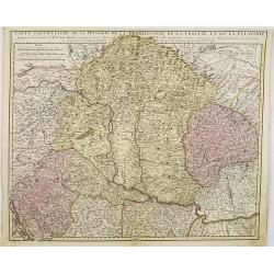
Carte particuliere de la Hungarie de la Transivanie de la Croatie et de la Sclavonie. . .
A map showing Hungary, Serbia, Croatia.
Date: Amsterdam, 1740
Selling price: ????
Please login to see price!
Sold in 2008
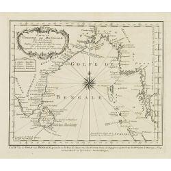
Carte du Golphe de Bengale. . .
Uncommon map of India, Ceylon and East coast of Malaysia, after J.N.Bellin. With title in Dutch in lower margin, engraved by J. van Schley. From Atlas Portatif pour serv...
Date: Amsterdam, 1740
Selling price: ????
Please login to see price!
Sold in 2011
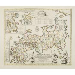
Het Koninkryk Japan, verdeelt in Acht en zestig Provintien in alle Naauwkeurigheid en Zorgvuldigheid Beschreven en uytgegeven Volgens de Oorspronkelyke Japansche Kaarten. . .
Map of Japan as well as two inset maps of Kamtschatka / Tschukotka and that Peninsula Oshima of Hokkaido. Title cartouche held by two Japanese Gods, Tossitoku and Nebis, ...
Date: Amsterdam, ca 1740
Selling price: ????
Please login to see price!
Sold in 2008
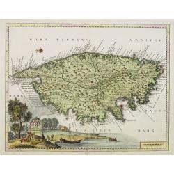
Carta Geografica del Regno di CORSICA.
Taken from In Lo stato presente di tutti i paesi, e popoli del Mondo ...Vol. XXIV, edited by Thomas Salmon. A Italian edition of this famous work, published in 26 volumes...
Date: Albizzi, Venise, 1740
Selling price: ????
Please login to see price!
Sold
Imperii Magni Mogolis sive Indici Padschach..
Impressive map of the Mongol Empire, including present India (except the southern tip), Pakistan, Afghanistan, parts of Burma, etc.Decorated with two colored pictorial ca...
Date: Augsburg, ca 1740
Selling price: ????
Please login to see price!
Sold in 2008
Virginia Marylandia et Carolina.
An attractive and detailed map, covering the coastline from Long Island in the north to just south of Cape Feare in Carolina, with the large fictitious Apalache Lacus in ...
Date: Augsburg, 1740
Selling price: ????
Please login to see price!
Sold
Basis Geographiae Recentioris Astronomica
Worldmap in double hemisphere. California as an Island. From the Doppelmayr \"Atlas Coelestis\" published by J.B. Homann in Nuremberg.
Date: Nuremberg, 1740
Selling price: ????
Please login to see price!
Sold in 2009
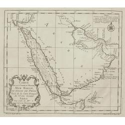
Carte de la Coste d'Arabie, Mer Rouge, et Golfe de Perse,...
Nice small map focusing on the Red Sea, also covering coastal areas around the Arabian Peninsula and the Persian Gulf. Jacques Bellin was Hydrographer in the French Dép�...
Date: Paris, 1740
Selling price: ????
Please login to see price!
Sold in 2009
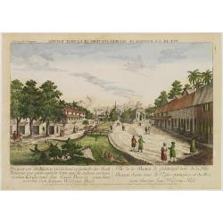
Vue de la Bastion de Gelderland, hors de la Ville Batavia.
Complete title : Vuë de la bastion de Gelderland hors de la ville Batavie [mirror-reversed] / Collection des Prospects / Prospect von der Bastion Gelderland ausserhalb d...
Date: Augsburg, 1740
Selling price: ????
Please login to see price!
Sold in 2010
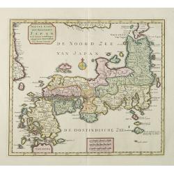
Nieuwe Kaart van 't Keizerrijk Japan.
Japan is still drawn in a nearly purely east-west position. At bottom right at the island of Fatsisio is mentioned: To this island the powerful men of Japan were sent Int...
Date: Amsterdam, 1740
Selling price: ????
Please login to see price!
Sold in 2009
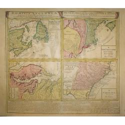
Dominia Anglorum in America Septentrionali.
Four maps on one sheet (New Foundland/ New England/ Virginia and Carolina/Florida) based on J.B.Homann\'s map, showing British possessions in North America. At bottom of ...
Date: Nuremberg 1740
Selling price: ????
Please login to see price!
Sold in 2009
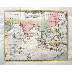
A Chart of ye EAST-INDIES, With the Coast of Persia, China also the Philipina, Moluca and Sunda Islands &c.
A very decorative chart of the Indian Ocean. The map extends until Saudi Arabia and Madagascar in the West, and Australia, New Guinea, and Japan in the East. Shows a part...
Date: London, c.1740
Selling price: ????
Please login to see price!
Sold in 2009
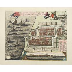
Afbeldinge van het casteel en de stadt Batavia. . .
Copied after Clement de Jonghe's map of 1650. Map of Jakarta, head quarters of the V.O.C.Joachim Ottens (1663 - 1719) and his sons Renier and Joshua were prominent Dutch ...
Date: Amsterdam, 1740
Selling price: ????
Please login to see price!
Sold in 2011
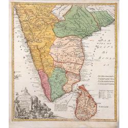
Peninsula Indiae Malabar Coromandel Ceylon.
Homann's family well-engraved map of southern India and Ceylon.
Date: Nuremberg, 1740
Selling price: ????
Please login to see price!
Sold in 2014
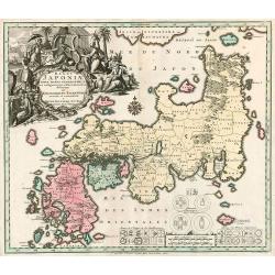
Regni Japoniae nova mappa geographica.
One of the most decorative and elegant maps of Japan. The map is based on Englebert Kaempfer's map of 1727. It shows a much distorted outline for the Island of Japan and ...
Date: Augsburg, 1740
Selling price: ????
Please login to see price!
Sold in 2010
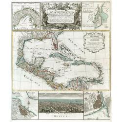
Mappa Geographica complectens..
Decorative map depicting the region of Central America. View of Mexico.
Date: Nuremberg, 1740
Selling price: ????
Please login to see price!
Sold in 2009
Danubii Fluminis pars media in qua Hungaria, Sclavonia..
Very rare "carte à figures" map of former Yugoslavia. With decorative title cartouche and surrounded by four borders with 13 city views each accompanied by lar...
Date: Augsburg, 1740
Selling price: ????
Please login to see price!
Sold
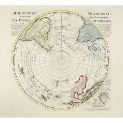
Hemisphere meridional pour voir plus distinctement les terres australes. . .
With the imprint of the Ottens family - rare. An Antarctic map including a recounting of the discovery of an island south of the Cape of Good Hope which was named Cap de ...
Date: Amsterdam, 1740
Selling price: ????
Please login to see price!
Sold in 2011
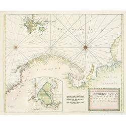
A New Generall Chart of Ye Northern Ocean vitz Norway, Greenland, Finmark, Lapland, Moscovy and Nova Zembla.
Chart of the coasts of Norway, Sweden, Lapland, Russia, including the west coast of Nova Zembla, and part of Greenland. With inset of the island of Podesemsko, with Archa...
Date: London, 1716 - 1740
Selling price: ????
Please login to see price!
Sold in 2009
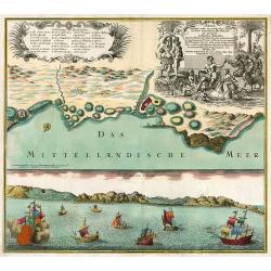
Oran Munita Urbs et Comodus Porta in Ora Maritima Barbariae.
Map of the vicinity of Oran with panoramic view from the sea below.
Date: Augsburg, 1740
Selling price: ????
Please login to see price!
Sold in 2010
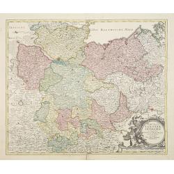
Circulus Saxoniae inferioris.
Johann Baptist Homann's well-engraved map of northern part of Germany. Including the towns of Hamburg, Berlin, Gottingen, enz. Johann Baptist Homann (1663-1724) was a Ger...
Date: Nuremberg 1740
Selling price: ????
Please login to see price!
Sold in 2022
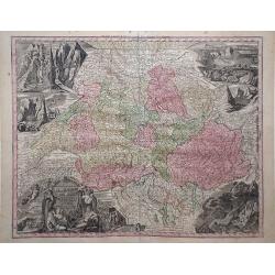
Nova Totius Helvetia cum Suis Surditis.
Matthaus Seutter map of Switzerland with vignettes of the Alps in the upper right and left corners and bottom right corner.
Date: Augsburg, 1730-1740
Selling price: ????
Please login to see price!
Sold in 2010
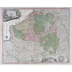
Germanie Inferioris Belgii.
Matthaus Seutter map of northern France, Belgium and Holland. Shows from Paris, France in the south to Rotterdam, Holland in the north.
Date: Augsburg, 1730-1740
Selling price: ????
Please login to see price!
Sold in 2010
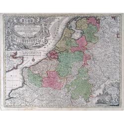
XVII Provincia Belgii five Germanie Inferioris.
Matthaus Seutter map showing regions of northern France, Belgium, Holland, England and Germany.
Date: Augsburg, 1730-1740
Selling price: ????
Please login to see price!
Sold in 2010
![[Attractive Manuscript Plan of the Village of Prusy (Prauss), Strzelin (Strehlen) County, near Wrocław (Breslau)]](/uploads/cache/35784-250x250.jpg)


![[Five maps on one sheet] Dominia Anglorum in praecipuis Insulis Americae ut sunt Insula S. Christopheri, Antegoa, Iamaica, Barbados nec non Insula Bermudes vel Sommers . . .](/uploads/cache/25265-250x250.jpg)
![[Title page] Le Nouveau Theatre du Monde.](/uploads/cache/25938-250x250.jpg)
![[Title page] Atlas Novus..](/uploads/cache/25950-250x250.jpg)
