Browse Listings in Europe
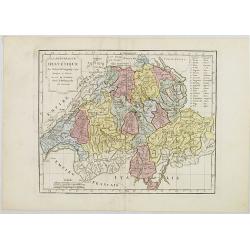
La République Helvétique en ses 19 Cantons.
Map of Switzerland. By C. F. Delamarche, successor of Robert de Vaugondy, Geographer.
Date: Paris, 1794 - 1806
Selling price: ????
Please login to see price!
Sold in 2019
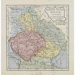
Bohême, Silésie, Moravie, Lusace.
Map of central Europe including Bohemia, Austria, Hungary, Silesia and Moravia. By C. F. Delamarche, successor of Robert de Vaugondy, Geographer.
Date: Paris, 1794 - 1806
Selling price: ????
Please login to see price!
Sold in 2015
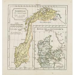
Norwege. . .
Map of Norway., with inset map of Denmark.By C. F. Delamarche, successor of Robert de Vaugondy, Geographer.
Date: Paris, 1794 - 1806
Selling price: ????
Please login to see price!
Sold in 2023
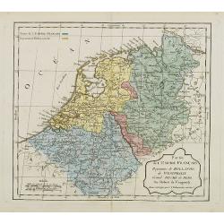
Partie de l'Empire Français, Royaume de Hollande, de Westphalie, Grand Duché de Berg.
Map of the Netherlands. By C. F. Delamarche, successor of Robert de Vaugondy, Geographer. With a color key to French and Dutch possessions.
Date: Paris, ca.1806
Selling price: ????
Please login to see price!
Sold in 2008
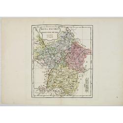
Haut et Bas Rhin Franconie Souabe.
Map of High and Low Rhine Franconie Souabe. By Robert de Vaugondy, Geographer.
Date: Paris, 1794 - 1806
Selling price: ????
Please login to see price!
Sold in 2022
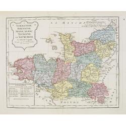
Normandie, Bretagne, Maine, Anjou, Tourraine, et Saumurois.
Map of Normandy, Brittany, Maine, Anjou, Tourraine, and the Saumur region. By C. F. Delamarche, successor of Robert de Vaugondy, Geographer. Inset lower left corner of t...
Date: Paris, 1794 - 1806
Selling price: ????
Please login to see price!
Sold in 2008
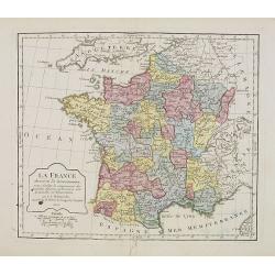
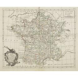
La France. . . .
Map of France. By C. F. Delamarche, successor of Robert de Vaugondy, Geographer.
Date: Paris, 1806
Selling price: ????
Please login to see price!
Sold in 2008
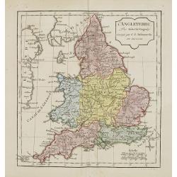
L'Angleterre.
Map of England. By C. F. Delamarche, successor of Robert de Vaugondy, Geographer.
Date: Paris, 1794 - 1806
Selling price: ????
Please login to see price!
Sold in 2011
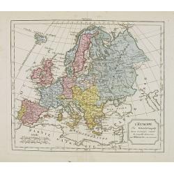
L'Europe. . .
Map of the European continent. By C. F. Delamarche, successor of Robert de Vaugondy, Geographer.
Date: Paris, 1794 - 1806
Selling price: ????
Please login to see price!
Sold in 2008
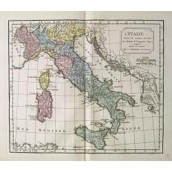
L' Italie.
Map of Italy. By C. F. Delamarche, successor of Robert de Vaugondy, Geographer.
Date: Paris, 1794 - 1806
Selling price: ????
Please login to see price!
Sold in 2018
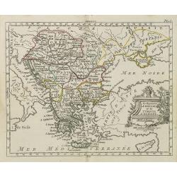
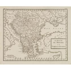
Le Royaume de Hongrie et la Turquie d' Europe . . .
Map of the Hungary, the Balkan States and present-day Greece, from Atlas moderne portatif composé de vingt-huit cartes sur toutes les parties du globe terrestre .. A l'u...
Date: Paris, Prudhomme, Levrault, Debray, 1806
Selling price: ????
Please login to see price!
Sold in 2010
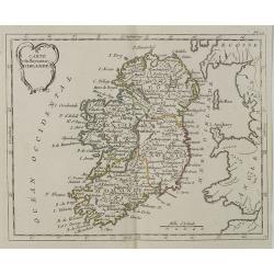
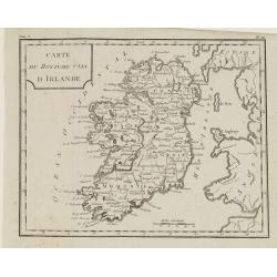
Carte du Royaume d' Irlande . . .
Map of Ireland, from Atlas moderne portatif composé de vingt-huit cartes sur toutes les parties du globe terrestre .. A l'usage des Colléges, des Pensions & des Mai...
Date: Paris, Prudhomme, Levrault, Debray, 1806
Selling price: ????
Please login to see price!
Sold in 2018
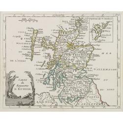
Carte du Royaume d' Ecosse . . .
Map of Scotland from Atlas moderne portatif composé de vingt-huit cartes sur toutes les parties du globe terrestre .. A l'usage des Colléges, des Pensions & des Mai...
Date: Paris, Prudhomme, Levrault, Debray, 1806
Selling price: ????
Please login to see price!
Sold in 2013
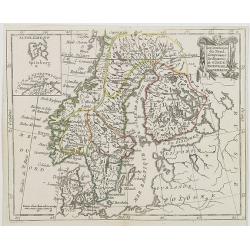
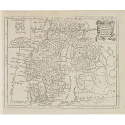
Les Couronnes du Nord, comprenant les royaumes de Suede, Norwege et Danemark.
Map of Sweden, Norway and Denmark, from Atlas moderne portatif composé de vingt-huit cartes sur toutes les parties du globe terrestre .. A l\'usage des Colléges, des Pe...
Date: Paris, Prudhomme, Levrault, Debray, 1806
Selling price: ????
Please login to see price!
Sold in 2009
La Russie d\'Europe . . .
Map of western part of Russia, from Atlas moderne portatif composé de vingt-huit cartes sur toutes les parties du globe terrestre .. A l\'usage des Colléges, des Pensio...
Date: Paris, Prudhomme, Levrault, Debray, 1806
Selling price: ????
Please login to see price!
Sold in 2009
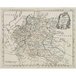
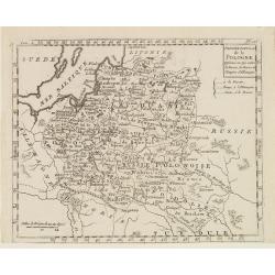
Carte Générale de la Pologne . . .
Map of Poland, from Atlas moderne portatif composé de vingt-huit cartes sur toutes les parties du globe terrestre .. A l'usage des Colléges, des Pensions & des Mais...
Date: Paris, Prudhomme, Levrault, Debray, 1806
Selling price: ????
Please login to see price!
Sold in 2016
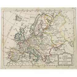
Carte de l' Europe . . .
General map of Europe from Atlas moderne portatif composé de vingt-huit cartes sur toutes les parties du globe terrestre .. A l'usage des Colléges, des Pensions & d...
Date: Paris, Prudhomme, Levrault, Debray, 1806
Selling price: ????
Please login to see price!
Sold in 2009
Carte du Royaume de France . . .
General map of France, from Atlas moderne portatif composé de vingt-huit cartes sur toutes les parties du globe terrestre .. A l'usage des Colléges, des Pensions & ...
Date: Paris, Prudhomme, Levrault, Debray, 1806
Selling price: ????
Please login to see price!
Sold in 2009
La Pologne Dressée sur ce qu'en ot donné Starovolsk, Beauplan, Hartnoch. . .
This is a late edition of the De L'Isle copper plate with a date of 1806. The copper plate was used many times and has several erased addresses.Large map of Poland, Lithu...
Date: Paris, 1806
Selling price: ????
Please login to see price!
Sold in 2010
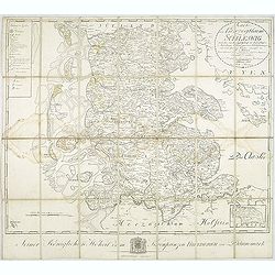
Karte vom Herzogthum Schleswig, nach der von der Gesellschaft der Wissenschaften in Kopenhagen bekannt gewordenen Ortsbestimmung und nach Special-Karten. Kolor. Kupferstichkarte von F. v. Golowin. Schleswig, Röhss u. Christiani, 1806.
Von Golowin was a Lieutenant in the "Schleswigschen Infanterie-Regiment" and appointed cartographer to the King. The first edition of this road map was publishe...
Date: Schleswig, Röhfs und Christiani, 1806
Selling price: ????
Please login to see price!
Sold in 2010
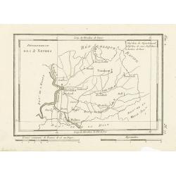
Département des 2 Nethes.
Map representing the area around Antwerp, with a short key list in the upper right corner.From Atlas de la Géographie de toutes les parties du monde .. Ouvrage destiné ...
Date: Paris, Prudhomme, Levrault, Debray, 1806
Selling price: ????
Please login to see price!
Sold in 2017
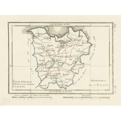
Département de l'Escaut.
Map centered on Gand, with a short key list in the lower left corner. From Atlas de la Géographie de toutes les parties du monde .. Ouvrage destiné pour l'education, et...
Date: Paris, Prudhomme, Levrault, Debray, 1806
Selling price: ????
Please login to see price!
Sold
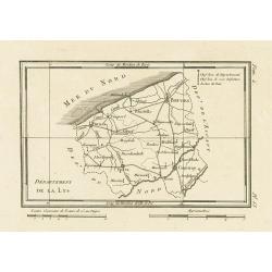
Département de la Lys.
Map representing the area between Furnes, Ypres, Courtray and Bruges, with a short key list in the upper right corner.From Atlas de la Géographie de toutes les parties d...
Date: Paris, Prudhomme, Levrault, Debray, 1806
Selling price: ????
Please login to see price!
Sold in 2023
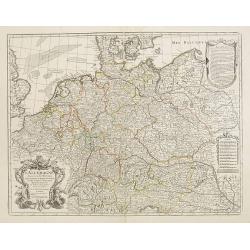
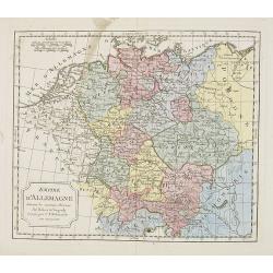
Empire d'Allemagne. . .
Map of the German Empire. By C. F. Delamarche, successor of Robert de Vaugondy, Geographer.
Date: Paris, 1794 – 1806
Selling price: ????
Please login to see price!
Sold in 2022
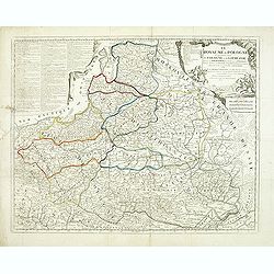
Le ROYAUME de POLOGNE Comprenant les Etats de Pologne et de Lithuanie, divisez en Province et Subdivisez en Palatinats. . .
Extends from about Vienna in the west to east of the Crimea and north to include the present day Baltic States. It includes all of the present day Ukraine. The map was fi...
Date: Paris, ca. 1742 - 1806
Selling price: ????
Please login to see price!
Sold in 2012
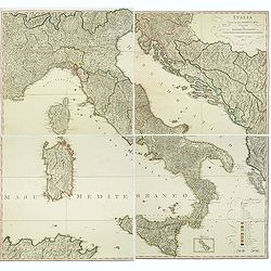
Italia Divisa ne' suoi Presenti Confini, disegnata da Ignazio Heymann Ufficiale nel Imp: & Ces: Reg: Supremo Uffizio delle Poste in Trieste. E divulgata a sue spese 1806.
Folding wall map showing Italy with Corsica, Sardinia and Sicily, Istria and the Dalmatian coast. Drawn, engraved and published by I. Heymann, Austrian geographer and dir...
Date: Trieste, Ignazo Heymann, 1806
Selling price: ????
Please login to see price!
Sold in 2016
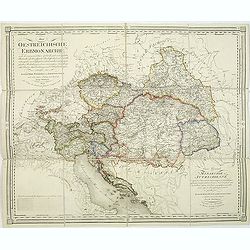
Die Oestreichische Erbmonarchie nach ihrem gegenwärtigen Zustande Kartenmaterial mit vorzüglicher Rücksicht auf ihre physische Beschaffenheit. . . / Carte générale de la monarchie autrichienn.
Detailed map showing Central Europe and showing the Austria-Hungarian Monarchy. The map includes Austria, with parts of Poland, Germany, Italy, prepared by Joseph Wüstin...
Date: Vienna, Kunst und Industrie Comptoirs,1806
Selling price: ????
Please login to see price!
Sold in 2013
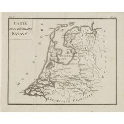
Carte de la République BATAVE.
Uncommon map of the Batavian Republic, published in the year of the Treaty on May 24th 1806 between France and the Batavian Republic.From Atlas de géographie du toutes p...
Date: Paris, Prudhomme, Levrault, Debray, 1806
Selling price: ????
Please login to see price!
Sold in 2020
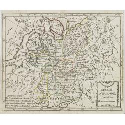
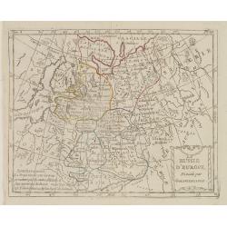
La Russie d'Europe Divisée par Gouvernemens.
Map of European Russia, centered on Moscow. From Atlas de la Géographie de toutes les parties du monde .. Ouvrage destiné pour l'education, et nécessaire aux négocian...
Date: Paris, Prudhomme, Levrault, Debray, 1806
Selling price: ????
Please login to see price!
Sold in 2013
Les Couronnes du Nord, Comprenant les Royaumes de Suède, Norwege et Danemarck.
Map of Scandinavia, from Atlas de la Géographie de toutes les parties du monde .. Ouvrage destiné pour l'education, et nécessaire aux négocians, aux voyageurs, aux fo...
Date: Paris, Prudhomme, Levrault, Debray, 1806
Selling price: ????
Please login to see price!
Sold in 2018
Le Royaume de Hongrie et la Turquie d'Europe.
Map of south eastern Europe centered on Greece and the Aegean Sea. From Atlas de la Géographie de toutes les parties du monde .. Ouvrage destiné pour l'education, et n�...
Date: Paris, Prudhomme, Levrault, Debray, 1806
Selling price: ????
Please login to see price!
Sold in 2020
Dernier Partage de la Pologne Effectué en 1795, entre la Russie, la Prusse et l'Empire d'Allemagne.
Map of Poland, from Atlas de la Géographie de toutes les parties du monde .. Ouvrage destiné pour l'education, et nécessaire aux négocians, aux voyageurs, aux fonctio...
Date: Paris, Prudhomme, Levrault, Debray, 1806
Selling price: ????
Please login to see price!
Sold in 2014
Carte du Royaume Unis d'Irlande.
Map of Ireland, from Atlas de la Géographie de toutes les parties du monde.. Ouvrage destiné pour l'education, et nécessaire aux négocians, aux voyageurs, aux fonctio...
Date: Paris, Prudhomme, Levrault, Debray, 1806
Selling price: ????
Please login to see price!
Sold in 2014
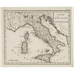
Carte d'Italie.
Map of Italy, including Sicily, Sardinia and Corsica. From Atlas de la Géographie de toutes les parties du monde.. Ouvrage destiné pour l'education, et nécessaire aux ...
Date: Paris, Prudhomme, Levrault, Debray, 1806
Selling price: ????
Please login to see price!
Sold in 2014
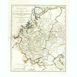
General Karte von dem zu Europa gehörigen Theile des Russischen Reiches nach dem Entwürfe des Hrn. J. M. Freyherrn von Lichtenstern. . .
Uncommon and detailed map of European Russia, with Lithuania, Latvia, Estonia, Balarus and Ukraine. According to the title design of H. Joseph Marx, Baron of Liechtenster...
Date: Vienna, Verlage des Kunst und Industrie Comptoir, 1806
Selling price: ????
Please login to see price!
Sold in 2014
Bohémienne / Bohémien de Prague. (2 prints)
Two originally hand-colored mezzotints of citizens of Prague engraved by Félix Mixelle and Lachaussée Jeune after Jacques Grasset de Saint-Sauveur.As an etcher, drawer ...
Date: Paris,1801-1806
Selling price: ????
Please login to see price!
Sold in 2016
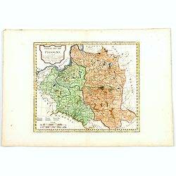
Royaume de Pologne.
Map of Poland and Lithuania. By C. F. Delamarche, successor of Robert de Vaugondy, Geographer.With a color key to Russian, Prussian and Austrian possessions.
Date: Paris, 1794 - 1806
Selling price: ????
Please login to see price!
Sold in 2016
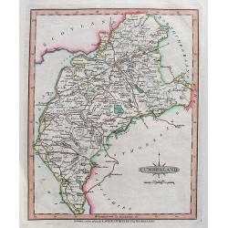
Cumberland.
A detailed map of the area with many towns and villages named, connected by roads. Shows also hills, lakes, and rivers.Includes the "Picts Wall" near Carlisle.
Date: London, 1806
Selling price: ????
Please login to see price!
Sold in 2018
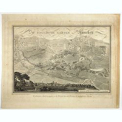
Der Englische Garten Bey München.
A northwest oriented plan of Der Englische Garten ( the English Garden) drawn by von Rickhauer in 1806 and engraved by J. Carl Schleich.The title in decorative lettering ...
Date: Topogr. Bureau, Munich 1806
Selling price: ????
Please login to see price!
Sold in 2017
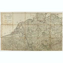
Cartes des Postes d'Allemagne et pays limitrophes. . .
Upper left part of a large detailed post road mapspost route map of Germany. Centered on Bielefeld and showing the cities of Hamburg, Coblenz. And Belgium, The Netherland...
Date: Trieste, 1806
Selling price: ????
Please login to see price!
Sold in 2018
Home & Femme de la Foret noire.
Originally hand-colored mezzotint from 'Costumes civils actuels de tous les peuples connus'. Engraved by Lachaussée Jeune after Jacques Grasset de Saint-Sauveur.As an et...
Date: Paris,1806
Selling price: ????
Please login to see price!
Sold in 2017
Dame d'Ausbourg.
Originally hand-colored mezzotint from 'Costumes civils actuels de tous les peuples connus'. After Jacques Grasset de Saint-Sauveur. As an etcher, drawer and writer, Gras...
Date: Paris,1806
Selling price: ????
Please login to see price!
Sold in 2023
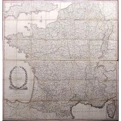
A Correct Map of France according to the New Divisions into Metropolitan Circles, Departments and Districts as decreed by the National Assembly, January 15th 1790 from a reduced copy of M. Cassini's large map...
A very large folding map of France with parts of England, the Benelux, Germany, Switzerland, Italy, and Spain. With an inset map of Corsica. Decorated with a large title ...
Date: London, 1806
Selling price: ????
Please login to see price!
Sold in 2017
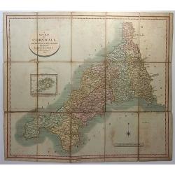
A New Map of Cornwall, Divided into Hundreds Exhibiting Roads, Rivers, Parks &c.
A superbly engraved map of the county of Cornwall by John Cary. From Cary's New English Atlas. The map was mounted on linen, folded and sold in a 7” x 4 ¾” x 3/8” ...
Date: London, 1806
Selling price: ????
Please login to see price!
Sold in 2018
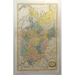
Muscovy or Russia in Europe.
A fine map of western Russia by Brightly & Kinnersly of Suffolk in 1806. Interestingly, the land is called "Russian Lapland", and the Frozen Ocean. Engraved...
Date: Suffolk, 1806
Selling price: ????
Please login to see price!
Sold in 2018
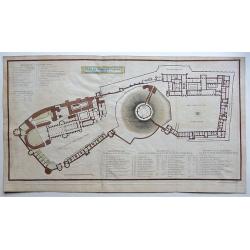
Plan of Windsor Castle MDCCCV.
A very detailed copperplate, plan and gazetteer of Windsor Castle, as it was at the time of The Battle of Trafalgar.Each tower, hall, chamber, ante-room and apartment's n...
Date: London, 1806
Selling price: ????
Please login to see price!
Sold in 2018
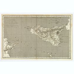
Sicilia, Provincia Romanorum cum Insulis Adjacentibus.
A functional and detailed map of the island of Sicily by Aaron Arrowsmith (1750-1823), an English cartographer, publisher and engraver, and a founding member of the Arrow...
Date: London, 1806
Selling price: ????
Please login to see price!
Sold in 2020
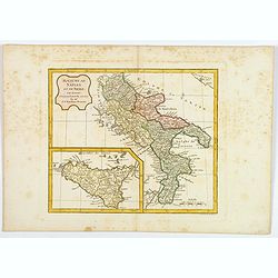
Royaume de Naples et de Sicile.
A map of the Kingdom of Naples, covering the southern part of Italy, with a smaller inset map of Sicily. By C. F. Delamarche, successor of Robert de Vaugondy, a French ge...
Date: Paris, 1794 - 1806
Selling price: ????
Please login to see price!
Sold in 2020
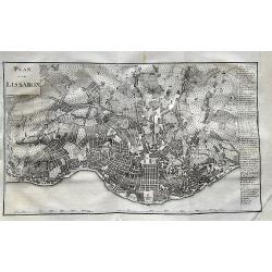
Plan von Lissabon.
Scarce city map of Lisbon. With 54 places named in the panel on the right. Published in Merkwürdigkeiten der Welt by Schrämbl.
Date: Vienna, 1806
Selling price: ????
Please login to see price!
Sold in 2019
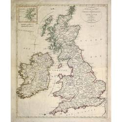
(Two copies of ) Nieuwe kaart van Groot Brittanje en Ierland.
Uncommon map of England and Ireland, printed by François Bohn in Haarlem, who was active from 1786 till 1819. Engraved by C.van Baarsel.
Date: Haarlem 1807
Selling price: ????
Please login to see price!
Sold in 2013
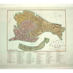
PLAN VON VENEDIG
An uncommon and finely rendered plan of Venice. The work is highly detailed and provides a 133 point legend identifying the town's key sites and places of import.Seldom s...
Date: Weimar, Germany, dated 1807
Selling price: ????
Please login to see price!
Sold
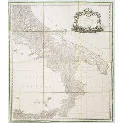
Carta del Regno di Napoli Indicante la divisione delle XIV sue provincie.
Separately published wall map of the southern part of Italy. Engraved by Vincenze Aloja and published by Rizzi Zanoni. The map representation is by Cassini with the Prime...
Date: Naples, 1807
Selling price: ????
Please login to see price!
Sold in 2008
General Charte von ganz Rusland, Europaischer u. Asiatischer Theil.
Very rare map of Russia, with in lower part an inset of S.Petersburg (67x210mm) . From "Neuer Hand- und Staats-Atlas von Europa".The map is of interest for the ...
Date: Leipzig, 1807
Selling price: ????
Please login to see price!
Sold
Polen in die dermaligen Besitzungen eingetheilt Nach der vortreflichen Karte von Rizzi Zannoni. . . / Carte de la Pologne. . .
A rare wall map-sized map (more than one meter wide) of Poland and Lithuania set in a decorative frame. The authors of maps, contrary to what the title states, are Schrä...
Date: Vienna, before 1807
Selling price: ????
Please login to see price!
Sold
Poland, Shewing the Claims of Austria, Russia, Prussia & Austria from the best Authorities.
Uncommon map of Poland and Lithuania from Rev. E Blomfield's Geography. The atlas was published by C. Brightly & E. Kennersly. Engraved by J. Barlow.
Date: Bungay, Suffolk, 1807
Selling price: ????
Please login to see price!
Sold in 2012
Hellas sive Graecia propria Thessalia et Epirus...
Interesting map showing a part of Greece during ancient times, extending from Kefalonia and Zakynthos (Zante) Island to Nisos Evvoia. Includes Korfu, parts of Macedonia, ...
Date: London, 1807
Selling price: ????
Please login to see price!
Sold in 2012
Carte générale du Théâtre de la guerre : comprenant les etats prussiens, la Pologne et tous les pays depuis le Rhin jusqu'en Russie / a Paris 1807 chez Charles Dien, Rue de Jardinet No.13
Scarce map of Poland and eastern Germany. In lower left corner inset map "Carte de la principauté de Neuchatel" (given by Napoleon to Marshal Berthier Louis-Al...
Date: Paris, 1807
Selling price: ????
Please login to see price!
Sold in 2014
Nouvelle Carte Géographique et des Postes de l'Europe .../ Neueste Post- und General-Karte von Europa ...
A rare wall map of Europe and its Post Roads based on a map by Arron Arrowsmith. Scale ca. 1:3.800.000. Engraved by Johann Spiegl (the younger)Title in German, placed in ...
Date: Vienna, Artaria et Compagnie, 1807
Selling price: ????
Please login to see price!
Sold
Carte de la Russie d'Europe dressée par Herisson elève du Cen Bonne. . .
Scarce detailed map of European part of Russia prepared by Eustache Hérisson (b. 1759), engraved by Chamouin, 128 rue de la Bouclerie, Paris. Text engraved by Dien.Accor...
Date: Paris, 1807
Selling price: ????
Please login to see price!
Sold in 2014
Veduta del Ponte di Porta Marenco lungo il Naviglo, venendo del Ponte de Fabbri in Milano. . .
Showing the bridge of Porta Marenco along the Naviglio Grande coming from the Ponte de' Fabbriin in Milan after a design of Gaspare Galliari (c.1760-1818). With a dedicat...
Date: Milan, 1807
Selling price: ????
Please login to see price!
Sold in 2014
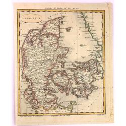
Danimarca.
A fine copper engraved Map of Denmark by Carlo Barbiellini. Engraved by Camiani. It is from "Atlante Delle Geograpfia Antica e Moderna".
Date: Italy, 1807
Selling price: ????
Please login to see price!
Sold in 2016
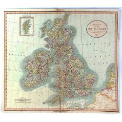
A New Map of the British Isles from the Latest Authorities.
An accurate map of early nineteenth century Great Britain. Two scales at bottom left and title at top right. With an insert of Shetland Islands. All British counties have...
Date: London, 1807
Selling price: ????
Please login to see price!
Sold in 2017
[Part of a wall map of Hungary].
The Upper left corner of the large folding wall map of Hungary was prepared by Ignac Müller and published first in 1769. The map was made for official use and was kept ...
Date: Vienna, T.Mollo, 1769 - 1807
Selling price: ????
Please login to see price!
Sold in 2023
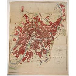
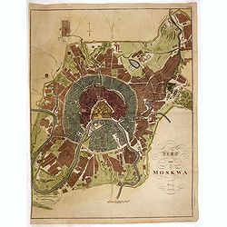
Map von Moskwa.
A scarce bird's-eye plan of Moscow was published in Prague, possibly in cooperation with military sources. The work centers on the Kremlin and provides fine detailing of ...
Date: Prague, dated 1808
Selling price: ????
Please login to see price!
Sold
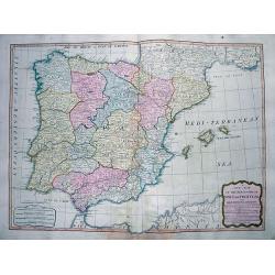
A New Map of the Kingdoms of Spain and Portugal...
Attractive map of the Iberian Peninsula, including the Balearic Islands, parts of north Africa, and south France. Very detailed map with many place names, main roads, a l...
Date: London, 1808
Selling price: ????
Please login to see price!
Sold in 2012
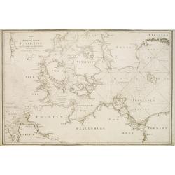
Karta öfver Syd Westra delen af Öster Sjön..
Map centred on the south-western part of the Baltic Sea, namely on the Isles of Fyn and Sjaelland in Denmark. It gives also good detail of the southern coast of Germany a...
Date: Stockholm 1808
Selling price: ????
Please login to see price!
Sold
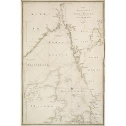
Karta öfver Kettegat och Bohus Bugten med en del af Skagerrack..
Chart encompassing the part of the North Sea between the Kattegat and the Skagerrak straits.It gives good detail of the Jutland seacoast as well as part of Norway and the...
Date: Stockholm, 1808
Selling price: ????
Please login to see price!
Sold in 2011
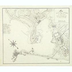
Plan de la baye de Cadiz et des environs Dressé en 1808 par ordre de l'amiral Rosillef
Anonymous pen and ink drawing with a lettered key (A-O) in left part. The Capture of the Rosily Squadron took place on 14 June 1808, in Cadiz, Spain, nearly three years a...
Date: ca. 1808
Selling price: ????
Please login to see price!
Sold in 2011
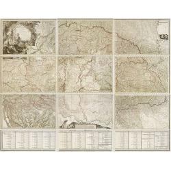
Mappa Generalis regni Hungariae partiumque adnexarum Croatiae, Slavoniae et Confiniorum Militarium Magni item PrincipatusTransylvaniae geometricis partium dimensionibus, recentissimisque astronomicis observationibus. . .
The map has been engraved by G. and F. Prixner Karacs. The map itself is on 9 sheets, measuring approx. 138 x 213 cm. Underneath with 3 sheets (each 27 cm high) with admi...
Date: Vienna, 1808
Selling price: ????
Please login to see price!
Sold in 2012
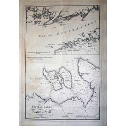
SPECIAL KARTA ösver RÄGER-VIK
Rare page with two maps. The map on top showing the coasts of Estonia and Finland at the Finnish sea bosom. Includes the city of Tallinn (Revel). The map below is a lar...
Date: Stockholm, 1808
Selling price: ????
Please login to see price!
Sold in 2012
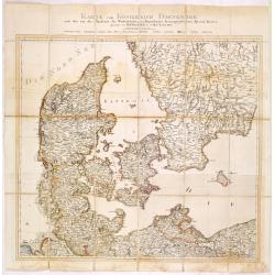
Karte vom Königreichs Daenemark nach den von der Akademie der Wissenschaften zu Kopenhagen harausgegebenen Special Karten. . .
Uncommon folding map of Denmark and part of Sweden and Germany. A road system has been drawn in.More about folding maps. [+]
Date: Berlin, ca. 1808
Selling price: ????
Please login to see price!
Sold in 2013
Plan von Moskwa . . . 1808
Rare plan of Moscow, Scale ca. 1:11,850. Relief shown by hachures. With in upper right corner "Taf: XVII." Uncommon bird's-eye plan of Moscow centered on the Kr...
Date: Prague, 1808
Selling price: ????
Please login to see price!
Sold in 2014
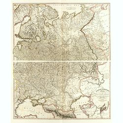
The Russian Dominions in Europe, drawn from the latest Maps, printed by the Academy of Sciences, St. Petersburg; revised and corrected, with the Post Roads. . .
A two-sheet map of Russia covering from the Arctic Sea to the Black and Caspian Seas and from East Prussia and Moldova to the Aral Sea and Tobolsk. Modern day nations of ...
Date: London, June, 1808
Selling price: ????
Please login to see price!
Sold in 2014
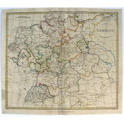
Germany.
Pleasant engraved map of Germany and Poland. Engraved by Neele and published in London in 1808 by Longman & Co.
Date: London, 1808
Selling price: ????
Please login to see price!
Sold in 2016
Billingsgate Market, from the Microcosm of London.
A beautiful first edition colored aquatint view of ‘old’ Billingsgate Market, early in the 19th century, where fresh fish were landed and sold directly on the docksid...
Date: London, 1808
Selling price: ????
Please login to see price!
Sold in 2017
Bataille et prise de Burgos.
Print published in "Paris chez la Ve. Chéreau M.de d'estampes, rue St. Jacques N°10, aux deux Colonnes, près la Fontaine St. Séverin". The text below the pr...
Date: Paris, Vve. Chéreau, ca 1808
Selling price: ????
Please login to see price!
Sold in 2016
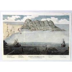
A View of Gibraltar
An interesting view of Gibraltar by J.F. Bourgoing, including a birds-eye view from the water and a view at the bottom looking out to sea featuring two sailing vessels.Te...
Date: London, 1808
Selling price: ????
Please login to see price!
Sold in 2020
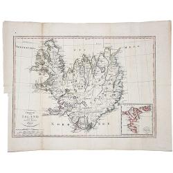
Charte von Island und den Faroer-Inseln.
An edition of this scarce map of Iceland, by an anonymous publisher in Prague.It shows excellent detail in the interior of the Island, including political subdivisions, t...
Date: Prague, 1808
Selling price: ????
Please login to see price!
Sold in 2021
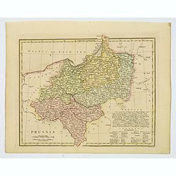
Prussia.
An attractive map with full original color from Wilkinson's General Atlas of the World, Quarters, Empires, Kingdoms, States &c. with Appropriate Tables published by R...
Date: London, 1808
Selling price: ????
Please login to see price!
Sold in 2021
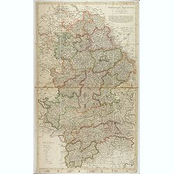
Die Baierische Monarchie. Entworfen in zwey Blättern von Conrad Mannert.
First edition of this important folding map of Southern Germny prepared by Professor Conrad Mannert. The map was kept simple despite its relatively large scale and saw a ...
Date: HOMANN HEIRS, Nuremberg, 1808
Selling price: ????
Please login to see price!
Sold in 2021



![[Part of a wall map of Hungary].](/uploads/cache/42560-250x250.jpg)
