Browse Listings in Europe
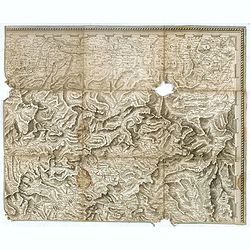
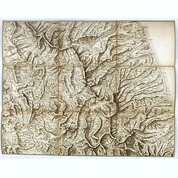
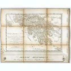
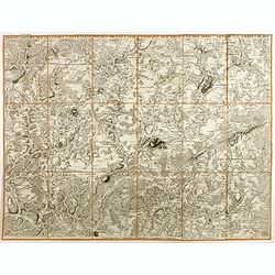
(Separate sheet from ) Carte générale du théâtre de la guerre en Italie et dans les Alpes.
The complete title of the map is "Carte générale du théâtre de la Guerre en Italie et dans les Alpes depuis le passage du Var le 29 septembre 1792 jusqu'à l'ent...
Date: Milan, 1798
Selling price: ????
Please login to see price!
Sold in 2017
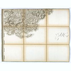
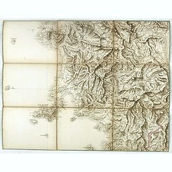
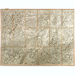
(Separate sheet from ) Carte générale du théâtre de la guerre en Italie et dans les Alpes.
The complete title of the map is "Carte générale du théâtre de la Guerre en Italie et dans les Alpes depuis le passage du Var le 29 septembre 1792 jusqu'à l'ent...
Date: Milan, 1798
Selling price: ????
Please login to see price!
Sold in 2018
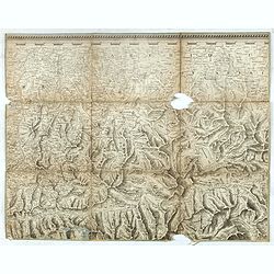
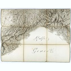
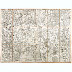
(Separate sheet from ) Carte générale du théâtre de la guerre en Italie et dans les Alpes.
The complete title of the map is "Carte générale du théâtre de la Guerre en Italie et dans les Alpes depuis le passage du Var le 29 septembre 1792 jusqu'à l'ent...
Date: Milan, 1798
Selling price: ????
Please login to see price!
Sold in 2017
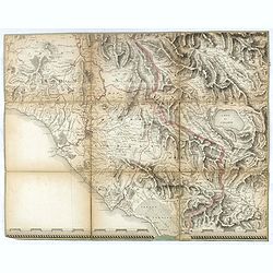
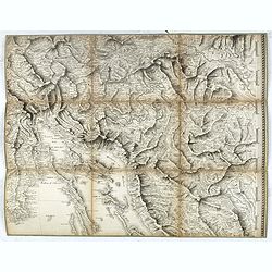
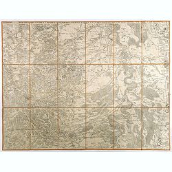
(Separate sheet from ) Carte générale du théâtre de la guerre en Italie et dans les Alpes.
The complete title of the map is "Carte générale du théâtre de la Guerre en Italie et dans les Alpes depuis le passage du Var le 29 septembre 1792 jusqu'à l'ent...
Date: Milan, 1798
Selling price: ????
Please login to see price!
Sold in 2016
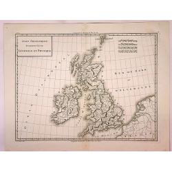
Isles Britanniques Premiere Carte Generale et Physique.
A detailed copper engraving map of the British Isles by Mentelle and Chanlaire from their "Atlas Universel". Published in Paris in 1798. The map shows mountains...
Date: Paris, 1798
Selling price: ????
Please login to see price!
Sold in 2017
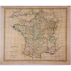
France Divided Into Provinces.
A fine map of France with outline color delineating the provinces. Published in London in 1798 by G.G. & J Robinson, and engraved by S. Neele.
Date: London, 1798
Selling price: ????
Please login to see price!
Sold in 2017
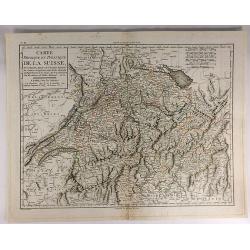
Carte Physique et Politique de la Suisse.
A finely engraved map of Switzerland issued in an “Atlas Universel de Géographie Physique et Politique, Ancienne et Moderne”, which was published in by Mentelle and...
Date: Paris, 1798
Selling price: ????
Please login to see price!
Sold in 2017
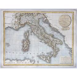
Carte Generale de L'Italie Redigee Sur les Observations les Plus Authentiqueues.
A decorative and large format map of Italy from the age of Napoleon. Produced by Delamarche in 1798. Charles Delamarche (1740-1817) entered the mapmaking industry as succ...
Date: Paris, 1798
Selling price: ????
Please login to see price!
Sold in 2018
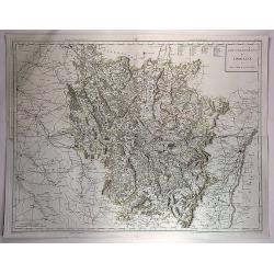
Gouvernements de Lorraine et Des Trois Eveches.
A large, detailed copper engraving map of the province of Lorraine, France by Mentelle and Chanlaire, from their "Atlas Universel". Published in Paris in 1798.
Date: Paris, 1798
Selling price: ????
Please login to see price!
Sold in 2018
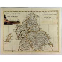
Parte Settentrionale Dell Inghilterra.
A fine Italian map of the northern part of England. It features a title cartouche "Siena 1795 Near Pazzini Carli". The sheet comes from the rare geographical At...
Date: Siena, 1798
Selling price: ????
Please login to see price!
Sold in 2020
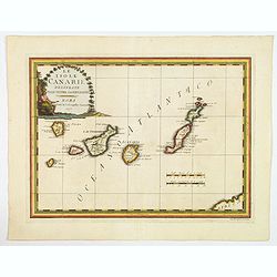
Le Isole Canarie Delineate Sulle Ultime Osservazioni.
A scarce map of the Canaries, from Cassini's atlas the Nuovo Atlante Geografico Universale. Enhanced with a large decorative title cartouche, and a pair of mileage scales...
Date: Rome, 1798
Selling price: ????
Please login to see price!
Sold in 2023
[A Manuscript map and 3 town views of Malta and Valletta.]
A manuscript map of Malta and Gozo in French, topped by a panoramic view of Valetta with the Knight's ships in the foreground (Veue de la Cité Valette du costé du grand...
Date: Malta, ca.1768 - 1798
Selling price: ????
Please login to see price!
Sold
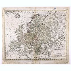
Charte von Europa Nach den neuesten Astronomischen Ortsbestimmungen entworfen und berichtiget auf der Sternwarte Seeberg, bey Gotha. . .
Nice map of Europa.
Date: Nuremberg, 1798
Selling price: ????
Please login to see price!
Sold in 2020
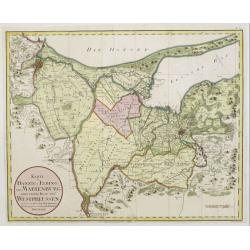
Karte von Danzig, Elbing und Marienburg odert..
Uncommon map centered on Danzig and Elbing. Very detailed, prepared by Johann Fridrich Endersch (1705-1769). Engraved by A.Amon.
Date: Vienna, 1799
Selling price: ????
Please login to see price!
Sold in 2009
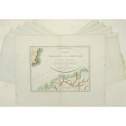
Carte d'Espagne et de Portugal en neuf feuilles.
Together forming a large wall map (970x126cm) of Spain and Portugal.
Date: Paris, 1799
Selling price: ????
Please login to see price!
Sold
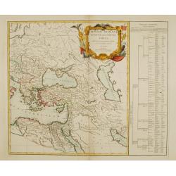
Imperii Romani occidentis..
Detailed map of the eastern part of the roman Empire showing Greece, Near East, Egypt and Libya. Very decorative title cartouche surrounded with roman legion's arms and e...
Date: Paris 1799
Selling price: ????
Please login to see price!
Sold
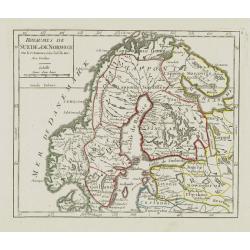
Royaumes de Suede et de Norwege..
Small general map of Scandinavia. From Atlas Portatif Universel, by Robert de Vaugondy.Page 8 outside border top right. Mary Sponberg Pedley does not mention a state with...
Date: Paris, ca. 1748-1799
Selling price: ????
Please login to see price!
Sold in 2019
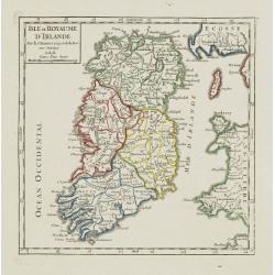
Isle et Royaume d'Irlande.
Nice small map of Ireland. From Atlas Portatif Universel, by Robert de Vaugondy.Page 7 outside border top right. Mary Sponberg Pedley does not mention a state without dat...
Date: Paris, 1748-1799
Selling price: ????
Please login to see price!
Sold
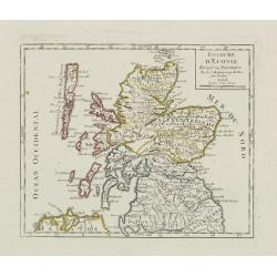
Royaume d\'Ecosse.
Nice small map of Scotland. From Atlas Portatif Universel, by Robert de Vaugondy.Page 6 outside border top right. Mary Sponberg Pedley does not mention a state without da...
Date: Paris, 1748-1799
Selling price: ????
Please login to see price!
Sold in 2008
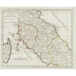
Etat de l'Eglise et Duché de Toscane.
Detailed small map of central Italy, including most part of Corsica. From Atlas Portatif Universel, by Robert de Vaugondy.Unrecorded state with page 59 outside border top...
Date: Paris, 1799
Selling price: ????
Please login to see price!
Sold in 2008
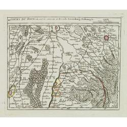
III. Cours du Rhin où sont les environs de Brisach, Newenburg, Fribourg &c.
Small detailed map illustrating the stretch of the Rhine which flows between Nuremburg and Breisach am Rhein.From Atlas Portatif Universel, by Robert de Vaugondy.Page 34c...
Date: Paris, 1799
Selling price: ????
Please login to see price!
Sold in 2021
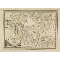
La Tartaria indipendente. . .
Map of Central Asia from the eastern shore of the Black Sea to the borders of China, with Georgia, the Caspian Sea, Turkestan, Usbekistan, Samarkand, Bokhara, Tibet and B...
Date: Rome, 1799
Selling price: ????
Please login to see price!
Sold in 2009
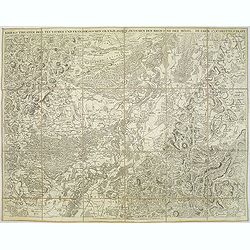
Kriegs Theater der teutschen und franzoesischen Graenzlanden zwischen dem Rhein und der Mosel, im Jahr 1796 : drittes Blatt.
Very detailed map of Pfalz from a six-sheet map prepared by Peter Dewarat, with a dedication by Johann Ludwig Christian Rheinwald, (1763 - 1811) who was a lawyer and hist...
Date: D. Artaria, Mannheim, 1795-1799
Selling price: ????
Please login to see price!
Sold in 2013
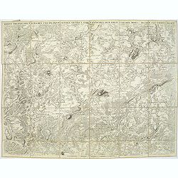
Kriegs Theater der teutschen und franzoesischen Graenzlanden swischen dem Rhein und der Mosel, im Jahr 1797 : viertes Blatt.
Very detailed map of Pfalz from a six-sheet map prepared by Peter Dewarat, with a dedication by Johann Ludwig Christian Rheinwald, (1763 - 1811) who was a lawyer and hist...
Date: D. Artaria, Mannheim, 1794-1799
Selling price: ????
Please login to see price!
Sold in 2013
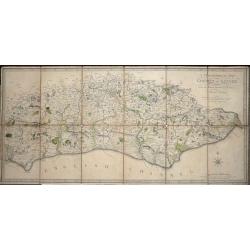
A Topographical Map of the County of Sussex Reduced from the Large survey in four sheets by Thomas Gream. . .
Folding Map of Sussex engraved on paper laid onto linen, with 6 folds, 380 x 800mm opened out, Scale: 6 miles to 2.5 inches. The map has original hand-coloring showing ...
Date: London, 1799
Selling price: ????
Please login to see price!
Sold in 2016
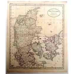
Denmark From the Best Authorities.
Finely detailed map of Denmark and Holstein by Russell.
Date: London, 1799
Selling price: ????
Please login to see price!
Sold in 2016
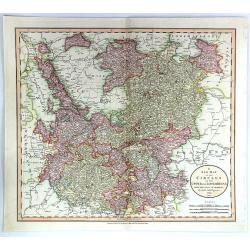
A New Map of the Circles of the Upper and Lower Rhine
A detailed, hand-colored antique map by the prominent English cartographer John Cary in London in 1799, covering an area from Westphalia and Lower Saxony in the north to ...
Date: London, 1799
Selling price: ????
Please login to see price!
Sold in 2019
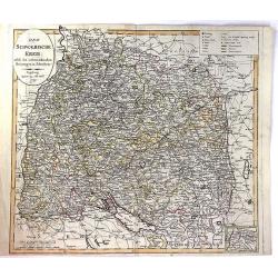
Der Schwaebische Nebst den Oesterreichischen Besizungen in Schwaben.
A fine detailed map of Swabia in southern Germany with small inset map of the Principality of Lichtenstein. Also includes parts of Austria and Switzerland. By Johann Walc...
Date: Augsburg, 1799
Selling price: ????
Please login to see price!
Sold in 2016
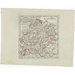
Cercle de Franconie divisé en ses princip.ux Etats.
Small detailed map of the northern part of Bavaria. From Atlas Portatif Universel, by Robert de Vaugondy.Edited by : "Au dépôt de Géographie, Rue Geoffroy Langevi...
Date: Paris, 1799
Selling price: ????
Please login to see price!
Sold in 2019
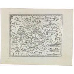
Partie Meridionale du Cercle de la Haute Saxe..
Small detailed map of part of Germany, approximatively corresponding to the today states of Thüringen, Saxony and Saxony-Anhalt.Showing Berlin in the upper part. From At...
Date: Paris, 1799
Selling price: ????
Please login to see price!
Sold in 2020
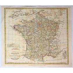
France Divided Into Metropolitan Circles and Departments.
A fine map of France divided into Metropolitan Circles and Departments by the English map publisher Clement Cruttwell. The French Department system was established in 179...
Date: London, 1799
Selling price: ????
Please login to see price!
Sold in 2018
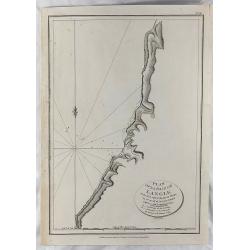
Plan of la Baie de Langle.
A simple map of the bay on the west shore of Sakalin Island. Relief shown by hachures. From the English edition that was published in London by G.G. & J. Robinson in ...
Date: London, 1799
Selling price: ????
Please login to see price!
Sold in 2018
Tombs of Baie de Castries.
An interesting engraving of tombs in the Baie de Castries, in the Okhotsk Sea in eastern Russia. Published in London by G.G. & J. Robinson in 1799. Engraved by Heath....
Date: London, 1799
Selling price: ????
Please login to see price!
Sold in 2018
Kriegs Theater der teutschen und franzoesischen Graenzlanden swischen dem Rhein und der Mosel, im Jahr 1797 : viertes Blatt.
Very detailed map of Pfalz from a six-sheet map prepared by Peter Dewarat, with a dedication by Johann Ludwig Christian Rheinwald, (1763 - 1811) who was a lawyer and hist...
Date: D. Artaria, Mannheim, 1794-1799
Selling price: ????
Please login to see price!
Sold in 2020
Kriegs Theater der teutschen und franzoesischen Graenzlanden swischen dem Rhein und der Mosel, im Jahr 1796 : drittes Blatt.
Very detailed map of Pfalz from a six-sheet map prepared by Peter Dewarat, with a dedication by Johann Ludwig Christian Rheinwald, (1763 - 1811) who was a lawyer and hist...
Date: D. Artaria, Mannheim, 1794-1799
Selling price: ????
Please login to see price!
Sold in 2019
Kriegs Theater der teutschen und franzoesischen Graenzlanden swischen dem Rhein und der Mosel, im Jahr 1796 : zweites Blatt.
Very detailed map of Pfalz with Mainz from a six-sheet map prepared by Peter Dewarat, with a dedication by Johann Ludwig Christian Rheinwald, (1763 - 1811) who was a lawy...
Date: D. Artaria, Mannheim, 1794-1799
Selling price: ????
Please login to see price!
Sold in 2019
Kriegs Theater der teutschen und franzoesischen Graenzlanden swischen dem Rhein und der Mosel, im Jahr 1796 : erstes Blatt.
Very detailed map of Pfalz from a six-sheet map prepared by Peter Dewarat, with a dedication by Johann Ludwig Christian Rheinwald, (1763 - 1811) who was a lawyer and hist...
Date: D. Artaria, Mannheim, 1794-1799
Selling price: ????
Please login to see price!
Sold in 2019
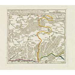
IX. Carte du C.té de Haynaut où sont les environs de Philippeville, Marienbourg, Rocroix &c.
Attractive small map showing an area straddling the border between France and Belgium. It shows Philippeville, Marienbourg, Rocroi, Couvin and Chimay.From Atlas Portatif ...
Date: Paris, 1799
Selling price: ????
Please login to see price!
Sold in 2020
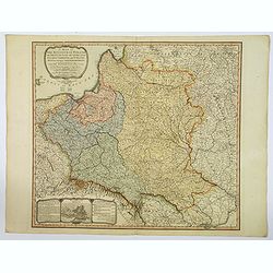
A Map of The Kingdom of Poland and Grand Dutchy of Lithuania including Samogitia and Curland, divided into their Dismemberments. . .
A scarce, second edition map of Poland by William Faden published in London in 1799. The map itself is based on the Rizzi-Zannoni 24-sheet map of 1772, that was commissio...
Date: London, 1799
Selling price: ????
Please login to see price!
Sold in 2019
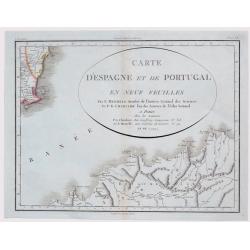
Carte D'Espagne et de Portugal en Neuf Feuilles ...
Fine unusual 1799 Mentelle & Chanlaire's copper engraved map covering part of Murcia, south-eastern Spain, centered on Cartagena. The map covers also northern porti...
Date: Paris, 1799
Selling price: ????
Please login to see price!
Sold in 2021
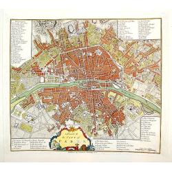
A Plan of the City of Paris.
A handsome and finely engraved plan of Paris based on late 18th century information. The work contains three legends identifying 78 points of interest, including major la...
Date: London, dated 1800
Selling price: ????
Please login to see price!
Sold
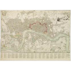
London and Westminster.
Title with engraving of Father Thames top right. At the bottom right, a compass rose and at the bottom center, a scale bar. Map divided into rectangles and lettered for r...
Date: London, 1800
Selling price: ????
Please login to see price!
Sold in 2016
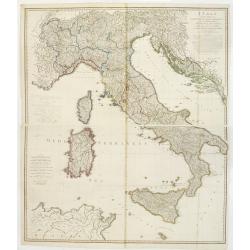
Italy with the Addition of the Southern Parts of Germany as far as.. the Illyric Islands..
Comprehensive map of Italy printed on 4 sheets, joined 2 by 2. Good detail is given with settlements, common and post roads, etc. Relief shown pictorially.
Date: London, 1800
Selling price: ????
Please login to see price!
Sold in 2008
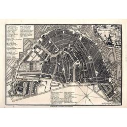
A plan of the City of Amsterdam
Very detailed plan of Amsterdam with a letter key (1-51) identifying important buildings, markets, and places. With a decorative title cartouche featuring a harbor scene....
Date: London, 1800
Selling price: ????
Please login to see price!
Sold in 2008
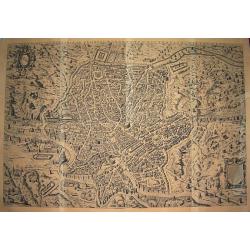
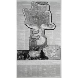
Urbis Romae sciographia ex antiquis monumentis accuratiss delineata.
Large scale & influential wall-map showing the city plan of Ancient Rome. The plate in 8 sheets was first engraved and published by Stephanus Du Perac in 1574, and th...
Date: Rome, ca. 1800
Selling price: ????
Please login to see price!
Sold in 2010
Imperii Occidentis Tabula synoptica.
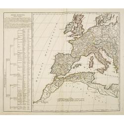
Map of the Western part of the Empire of Julius Caesar. The map includes Western Europe, up to the east coast of Greece. With the western part of the Mediterranean with t...
Date: Paris, c.1800
Selling price: ????
Please login to see price!
Sold in 2013
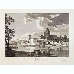
Het Valkhof of Vorstendoms-Burgt, eeven voor de slooping in 1795 getteekend.
Engraved by Ernst Karl Gottlieb Thelott after a model of Hendrik Hoogers. Beautiful view of "Het Valkhof at Nijmegen.
Date: Netherlands, ca. 1800
Selling price: ????
Please login to see price!
Sold in 2012
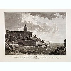
Het Valkhof te Nymegen, nevens het geruïneerde door de watervloed in 17874, ten ooste te zien.
Engraved by Ernst Karl Gottlieb Thelott after a model of Hendrik Hoogers. Beautiful view of "Het Valkhof at Nijmegen.
Date: Netherlands, ca. 1800
Selling price: ????
Please login to see price!
Sold in 2012
[ Map of eastern Belarus, including Smolensk ] BL. 6.
Map of eastern part of Belarus. Map show the cities of Viciebsk, Orsha, Barysau, etc. including Smolensk in Russia. More about folding maps. [+]
Date: France, ca. 1800
Selling price: ????
Please login to see price!
Sold in 2013
Deutschlands Postkarte begraenzt von Oesterreich, Preussen, Frankreich, Holland, Italien und der Schweiz. . .
Detailed and important post road mapspost route map prepared by Ignaz Heymann.
Date: Triest, 1800
Selling price: ????
Please login to see price!
Sold in 2013
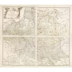
Generalkarte von Polen, Litauen, und den angraenzenden Laendern. . . (4 sheet map)
Large four sheet map of Poland, Lithuania, Vojvodina. Pages 85, 86, 87 and 88 from "Allgemeiner Grosser Schrämblischer Atlas" published by P. J. Schalbacher - ...
Date: Vienna, 1788-1800
Selling price: ????
Please login to see price!
Sold in 2013
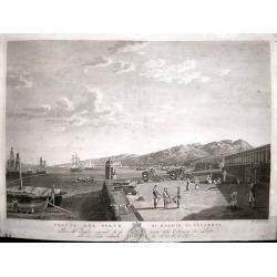
Veduta del Porto di Reggio Calabria.
View of the Italian port of Reggio Calabria engraved by Giovanni de Grado. Engraved from the painting by Hackert in the Reggia di Caserta, it belongs to the collection de...
Date: Naples, circa 1800
Selling price: ????
Please login to see price!
Sold in 2014
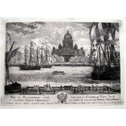
Vue sur la Catedrale Saint Isaak du coté du Palais de Prince Menchikoff.
A rare etching of the Cathedral (Saint Isaac's Cathedral or Isaakievskiy Sobor, Russian: Исаа́ки&...
Date: Saint Petersburg, after 1800
Selling price: ????
Please login to see price!
Sold in 2016
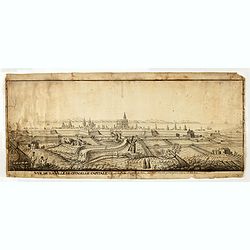
Vue de la Ville de citadelle capitale. Elle est dessinée du costé de terre ou costé de la porte pour aller à mahon.
Interesting and detailed water color of a panoramic view of the town of Mahon, seen from the land side.
Date: Mahon, ca. 1800
Selling price: ????
Please login to see price!
Sold in 2015
Pianta Di Roma E Del Campo Marzo.
Large sheet printed from 3 plates showing a city plan of modern (18th century) Rome within the Aurelian Walls, together with an extension showing the area between Porto d...
Date: Rome, ca. 1800
Selling price: ????
Please login to see price!
Sold in 2016
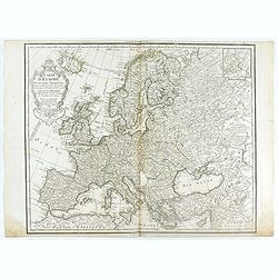
Carte de l'Europe Dressée pour l'Instruction . . .
The finely engraved map shows Europe divided up into its countries and the adjacenting regions Russia, the Middle East and North Africa. In the upper left corner we find ...
Date: Paris, 1800
Selling price: ????
Please login to see price!
Sold in 2020
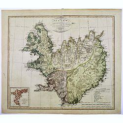
Island nach Murdochischer Projection...
An unusual map of Iceland by the German cartographer and geographer J.C.M. Reinecke, based on an earlier survey map by the Frenchman Verdun de la Crenne, done a generatio...
Date: Weimar, 1800
Selling price: ????
Please login to see price!
Sold in 2016
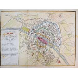
Paris sous le regne de Louis XIII.
Unusual plan which shows Paris as it was in the beginning of the 17th century. A very detailed map, with street names, parks, places, hospitals, and important buildings s...
Date: after 1800
Selling price: ????
Please login to see price!
Sold in 2016
Denkmal - Peter I Kaiser von Russland. In Petersburg.
Copper engraving of Peter the Great statue in Saint Petersburg. The Bronze Horseman is an equestrian statue of Peter the Great in Saint Petersburg, Russia. Commissioned b...
Date: Germany, ca. 1800
Selling price: ????
Please login to see price!
Sold in 2016
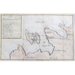
Der Baltische Hafen.
A curious map of the Pakri Islands in Estonia. With Suur-Pakri and Väike-Pakri and the near coast of Paldiski.A legend (a-h) names a sunken ship among other things! Furt...
Date: Unknown, ca. 1800
Selling price: ????
Please login to see price!
Sold in 2017
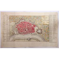
Plan de la Ville d'Anvers.
A beautiful antique hand colored map of Antwerp after the War of Spanish Succession (1701-1713), when Antwerp was transferred from Spanish control to the Austrian Habsbur...
Date: Paris, ca. 1800
Selling price: ????
Please login to see price!
Sold in 2018
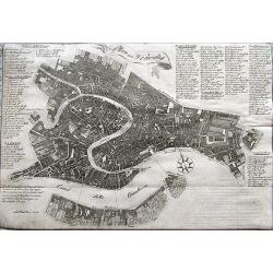
Plan von Venedig.
A scarce plan of Venice. With an extensive key naming more than 100 places on the map.
Date: Germany, ca. 1800
Selling price: ????
Please login to see price!
Sold in 2020
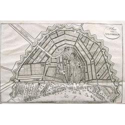
Plan von Amsterdam.
A small and attractive copper engraved plan of the city. Shows major buildings and the harbour filled with sailing ships.
Date: Germany, ca. 1800
Selling price: ????
Please login to see price!
Sold in 2017
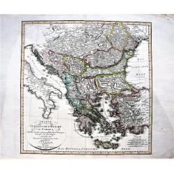
Charte vom Türkischen Reiche in Europa / nach den neuesten astronomischen Ortsbestimmungen entworfen. . .
A large, decorative map of central and south Europa showing the possessions of the Ottoman Empire in Europe in the year 1800.
Date: Weimar, 1800
Selling price: ????
Please login to see price!
Sold in 2019
[Set of 4 plans] Ichonographia urbis antique Ravenne / Sunbridge Place, Bore Place and Sharps Place, the seats of John Hyde / Icon urbis Caesenae / Lilla in Flandra.
[Set of 4 European city plans] - Ichonographia urbis antique Ravenne (Ravenna in Italy) - Sunbridge Place, Bore Place and Sharps Place, the seats of John Hyde in England ...
Date: Amsterdam, Paris, ca 1783 - 1800
Selling price: ????
Please login to see price!
Sold in 2019
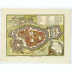
A Plan of the City of Turin.
An attractive small town plan of Turin, published in London at the beginning of the nineteenth century in John Stockdale's "Plans of the Principal Cities of the Worl...
Date: London, 1800
Selling price: ????
Please login to see price!
Sold in 2020
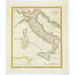
Italy with the Islands of Sicily, Sardinia & Corsica Drawn from the Best Authorities.
Antique copperplate map of Italy, and surrounding countries, together with the islands of Sicily, Sardinia & Corsica. Regions named. With a plain title and a mileage ...
Date: London, ca 1800
Selling price: ????
Please login to see price!
Sold in 2019
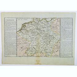
L'Allemagne.
A map of Germany of French origin, published in the late eighteenth or early nineteenth centuries, has informative and interesting text panels on either side. The map con...
Date: Paris, ca 1800
Selling price: ????
Please login to see price!
Sold in 2021
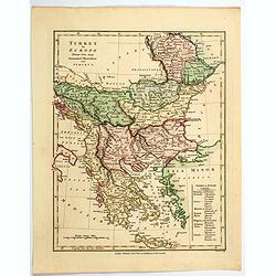
Turkey in Europe.
An attractive map, in beautiful original color, of Turkey in Europe, that part of the Ottoman Empire that lay west of Constantinople. It shows the countries that border t...
Date: London, 1800
Selling price: ????
Please login to see price!
Sold in 2020
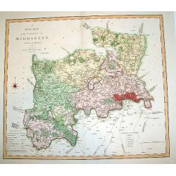
A New Map of the County of Middlesex.
A beautifully engraved and well-detailed turn of the 19th century map of County Middlesex, England. The metropolis of London and its environs are nicely highlighted, and ...
Date: London, dated 1801
Selling price: ????
Please login to see price!
Sold in 2008
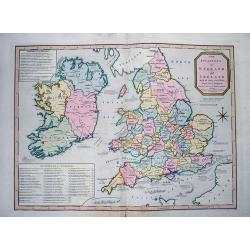
The invasions of England and Ireland with all their civil Wars since the Conquest.
Very interesting map showing the British Isles with their invasions and battles. Invasions (or attempts) are shown by small sailing ships, explained with text and the dat...
Date: London, 1801
Selling price: ????
Please login to see price!
Sold in 2012
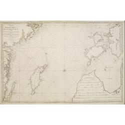
Charta öfver Medlersta Delen af Östersjön..
Uncommon chart centred on the Baltic Sea, giving good detail of the south-eastern coast of Sweden with the Gotland island, part of the coast of Latvia and Estonia with th...
Date: Stockholm 1801
Selling price: ????
Please login to see price!
Sold
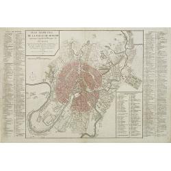
Plan géométral de la ville de Moscow ancienne capitale de l'empire de Russie. . .
Uncommon and detailed town-plan of the city of Moscow. To the left and right numbered keys to the most important spots in town. The lettered key stating the different Str...
Date: Paris, 1801
Selling price: ????
Please login to see price!
Sold in 2009
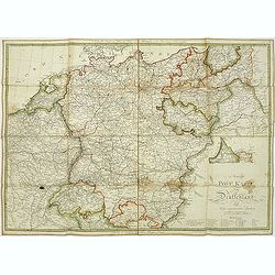
Neuest Post Karte von Deutschland und dessen angrenzenden Ländern. . .
A uncommon post road mapspost route map of Germany, Poland, Austria, Switzerland and the Low countries. Highly detailed map, showing post offices with the intermediate di...
Date: Berlin, 1801
Selling price: ????
Please login to see price!
Sold in 2013
[Sheet one of "Carte Reduite De La Carte Generale D'Allemagne"]
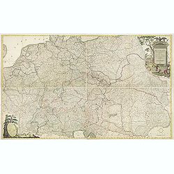
Top left sheet of a large folding nine-sheet map of Germany prepared by Jean Baptiste Hippolyte, baron Chauchard and published by Jean-Claude Dezauche (1745?-1824)Showing...
Date: Paris, 1801
Selling price: ????
Please login to see price!
Sold in 2013
![[A Manuscript map and 3 town views of Malta and Valletta.]](/uploads/cache/24469-250x250.jpg)

![[ Map of eastern Belarus, including Smolensk ] BL. 6.](/uploads/cache/30621-250x250.jpg)

![[Set of 4 plans] Ichonographia urbis antique Ravenne / Sunbridge Place, Bore Place and Sharps Place, the seats of John Hyde / Icon urbis Caesenae / Lilla in Flandra.](/uploads/cache/43026-250x250.jpg)
![[Sheet one of "Carte Reduite De La Carte Generale D'Allemagne"]](/uploads/cache/26339-250x250.jpg)