Popular Listings in Europe > Russia / Baltic / Black Sea region > Ukraine / Black Sea
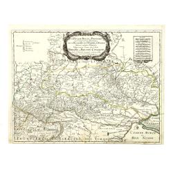
LA RUSSIE ROUGE ou POLONOISE qui Comprend les PROVINCES DE LA RUSSIE ROUGE de VOLHYNIE et de PODOLIE divisées en leurs Palatinats Vulgairement Connües sous le Nom D'VKRAINE ou PAYS DES COSAQUES.
1706 SANSON, N. - LA RUSSIE ROUGE ou POLONOISE qui Comprend les PROVINCES DE LA RUSSIE ROUGE de VOLHYNIE et de PODOLIE divisées en leurs Palatinats Vulgairement Connüe...
Date: Paris, 1706

[Europe, Eastern, Sarmatia, Ukraine]
1541 PTOLEMY, C. / WALDSEEMÜLLER, M. / FRIES, L. - [Europe, Eastern, Sarmatia, Ukraine]
Date: Vienna, Trechsel, G., 1525 -1541

[Crimea]. Carte de la Cromée.
1787 VAN KINSBERGEN, J.H. - [Crimea]. Carte de la Cromée.
Date: Amsterdam, H. Frieseman, 1787

.[Georgia (Republic), Sarmatia, Ukraine]
1541 PTOLEMY, C. / WALDSEEMÜLLER, M. / FRIES, L. - .[Georgia (Republic), Sarmatia, Ukraine]
Date: Vienna, Trechsel, G., 1525 -1541
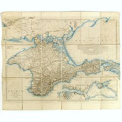
The Crimea, chiefly from surveys made by order of the Russian government. . .
1854 ARROWSMITH, J. - The Crimea, chiefly from surveys made by order of the Russian government. . .
Date: London, 1854
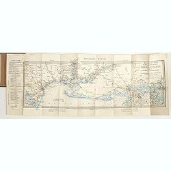
Military map of the countries between Odessa & Perekop with the stations of the Russian forces.
1855 WYLD, J. - Military map of the countries between Odessa & Perekop with the stations of the Russian forces.
Date: London, ca. 1855

[Manuscript] Plan du siege de la forteresse d'Oczakow avec les détails... aux ordres du Prince Potemkin, le 17 Decemb: 1788.
1788 ANONYMOUS - [Manuscript] Plan du siege de la forteresse d'Oczakow avec les détails... aux ordres du Prince Potemkin, le 17 Decemb: 1788.
Date: ca. 1788
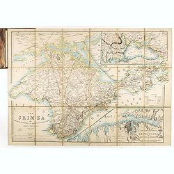
The Crimea by James Wyld Geographer to the Queen & H.R.H. Prince Albert.
1855 WYLD, J. - The Crimea by James Wyld Geographer to the Queen & H.R.H. Prince Albert.
Date: London, 1855
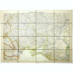
Karte der Ukraina.
1941 ANONYMOUS - Karte der Ukraina.
Date: Vienna: Freytag u. Bernd u. Artaria August 1941

[Lot of 9 maps] Plan général de Sébastopol avec indication des travaux du siege et de la defense au 28 mars - 9 avril 1855. Feuille 10. xiii
1863 LE DEPOT TOPOGRAPH. DE LA GUERRE - [Lot of 9 maps] Plan général de Sébastopol avec indication des travaux du siege et de la defense au 28 mars - 9 avril 1855. Fe...
Date: St. Petersburg, N. Thieblin, 1863
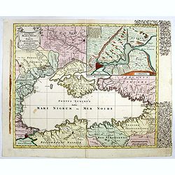
Nova Mappa Maris Nigris et Freti Constantinopolitani...
1760 LOTTER, T.C. - A fine and decorative map of the Black Sea, Crimea and Constantinople
Date: Augsburg, ca. 1760
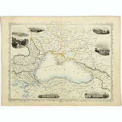
Black Sea.
1851 TALLIS, J. - The Black Sea, with inset views of Sebastopol and Odesa.
Date: London, London Printing and publishing Company of London, ca. 1851
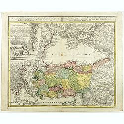
Carte de l'Asie Minevre ou de la Natolie et du Pont Euxin...
1743 HOMANN HEIRS - Carte de l'Asie Minevre ou de la Natolie et du Pont Euxin...
Date: Nuremberg, 1743
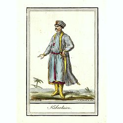
Kabardinien.
1806 GRASSET DE SAINT SAUVEUR, J. - Kabardinien.
Date: Paris,1801-1806
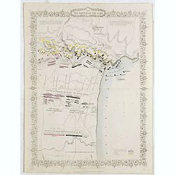
Plan of the battle of Alma.
1854 RAPKIN, J. / TALLIS, J. - Plan of the battle of Alma.
Date: London, 1854
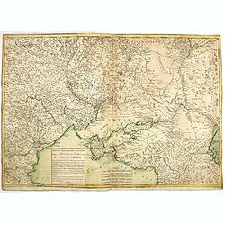
Nouveau théâtre de la guerre entre les Russes les turcs et les polonois confédérés.
1769 LONGCHAMPS, le Sieur. - A very rare separately published map of the Crimea region, showing the situation in 1769 during the Russo-Turkish War of 1768–1774.
Date: Paris, 1769
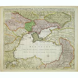
Nouvelle Carte de la Petite Tartarie et la Mer Noire, montrant les Frontieres de l'Impératrice de Russie et de l'Empereur des Turcs, tant en Europe qu'en Asie, Dessigné selon la proposition de G. De L'Isle et d'autres Auteurs.
1792 ELWE, J. B. - Shows Ukraine and the Black Sea
Date: Amsterdam, 1792
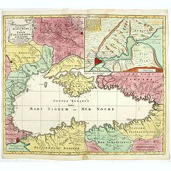
Nova Mappa Maris Nigri et Freti Constantino Politani. . .
1760 LOTTER, T.C. - Nova Mappa Maris Nigri et Freti Constantino Politani. . .
Date: Augsburg, ca. 1760
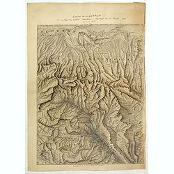
Carte de la Georgie et du Pays des Ossetes, Tcherkesses et Mitzdcheghi, Par Jules Klaproth (1823).
1823 KLAPROTH, H.J. - Detailed manuscript map of Georgia, based upon an 1823 map by Klaproth
Date: Paris, ca. 1823
