Browse Listings in America
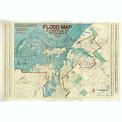
Flood Map of Louisville, KY.
1938 THE STANDARD PRINTING COMPANY INC. - Flood Map of Louisville, KY.
Date: Louisville, 1938
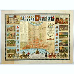
A Map of the City of Philadelphia, showing the Location of the Volunteer Fire Companies. . .
1938 THE INSURANCE COMPANY OF NORTH AMERICA. - A Map of the City of Philadelphia, showing the Location of the Volunteer Fire Companies. . .
Date: Philadelphia, 1938
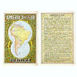
America del Sur Filatelica.
1939 RAGGIO, A.F. - America del Sur Filatelica.
Date: Buenos Aires, 1939
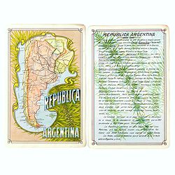
Republica Argentina.
1939 RAGGIO, A.F. - Republica Argentina.
Date: Buenos Aires, 1939
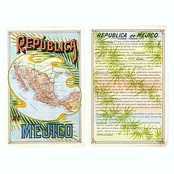
Republica Mejico
1939 RAGGIO, A.F. - Republica Mejico
- $200 / ≈ €181
Date: Buenos Aires, 1939
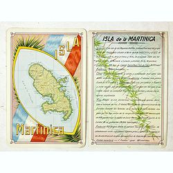
Isla Martinica.
1939 ANONYMOUS. - Isla Martinica.
- $100 / ≈ €90
Date: Buenos Aires, 1939
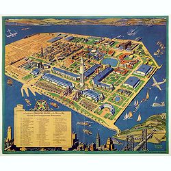
A cartograph of Treasure Island in San Francisco Bay Golden Gate International Exposition.
1940 TAYLOR, R. - A cartograph of Treasure Island in San Francisco Bay Golden Gate International Exposition.
- $200 / ≈ €181
Date: San Francisco, 1940
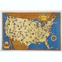
The Greyhound Map of This Amazing America. . .
1941 [THE GREYHOUND CORPORATION] - The Greyhound Map of This Amazing America. . .
Date: United States, 1941
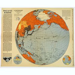
Pacific Arena
1942 FORTUNE MAGAZINE. - Second World War map covering the Pacific regions. Printed as Supplements to 'Fortune' in March 1942
Date: New York, 1942
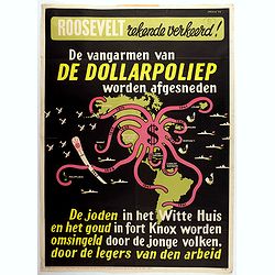
Rooseveld rekende verkeerd ! De vangarmen van De Dollarpoliep worden afgesneden. . .
1942 MANCHE, L. - Rooseveld rekende verkeerd ! De vangarmen van De Dollarpoliep worden afgesneden. . .
Date: The Netherlands, 1942
Alabama. Official Highway map 1942.
1942 ALA STATE HIGHWAY DEPARTMENT - Alabama. Official Highway map 1942.
Date: Alabama, Paragon Press, 1942
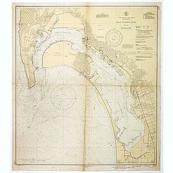
San Diego Bay. (Chart 5107)
1945 U.S. COAST AND GEODETIC SURVEY - Nautical chart of San Diego Bay of 1945. Printed in black, yellow and purple the "Seaward limit defensive sea area".
Date: Washington, 1945

Mapa geral do Brasil / organizado pelos J. Carneiro da Silva e Pedro Voss. [Together with] Micro geografia do Brasil. [Together with] Pequeno Mapa do Brasil.
1946 CARNEIRO DA SILVA, J. / VOSS, Pedro. - Mapa geral do Brasil / organizado pelos J. Carneiro da Silva e Pedro Voss. [Together with] Micro geografia do Brasil. [Toge...
Date: São Paulo, 1946
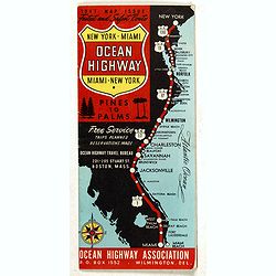
New York - Miami Ocean Highway. Pines to Palms. - Ocean Highway Official Highway Route Approved and Sponsored by the Ocean Highway Association.
1947 OCEAN HIGHWAY ASSOCIATION - New York - Miami Ocean Highway. Pines to Palms. - Ocean Highway Official Highway Route Approved and Sponsored by the Ocean Highway Ass...
Date: Washington, ca. 1947
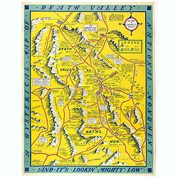
A Hysterical Map Of Death Valley National Monument -- And It's Looking Mighty Low
1948 LINDGREN, J. - A Hysterical Map Of Death Valley National Monument -- And It's Looking Mighty Low
Date: Spokane, Wash., Lindgren Brothers, 1948
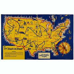
Coast to Coast.
1950 HARIETT-GILMAR - A game board featuring a map of the U.S. with a built-in spinner
Date: New York, ca. 1950
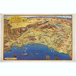
Ride the Roads to Romance along the Golden Coast and thru the Sunshine Empire of Southern California.
1950 ROADS TO ROMANCE ASSOCIATION INC. - Ride the Roads to Romance along the Golden Coast and thru the Sunshine Empire of Southern California.
Date: California, 1950
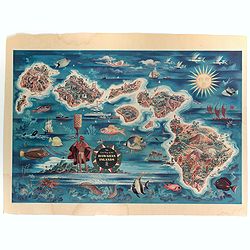
The Dole Map of the Hawaiian Islands.
1950 DOLE HAWAIIAN PINEAPPLE COMPANY. - The Dole Map of the Hawaiian Islands.
Date: USA, 1950
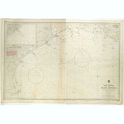
Gulf of Mexico. Ship Shoal to Brazos Santiago.
1951 ADMIRALTY CHART - Gulf of Mexico. Ship Shoal to Brazos Santiago.
- $200 / ≈ €181
Date: London, 1943 updated to 1951

[Set of 2 maps] The Pageant of History in Northern California its colorful and adventuresome beginnings / The Panorama of Today in Northern California its resources, activities and opportunities.
1954 THE AMERICAN TRUST COMPANY. - [Set of 2 maps] The Pageant of History in Northern California its colorful and adventuresome beginnings / The Panorama of Today in ...
- $350 / ≈ €317
Date: San Francisco, 1954
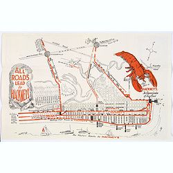
Map of Atlantic City to Hackney's Famous Garden of Sea Food . . .
1954 ANONYMOUS. - Map of Atlantic City to Hackney's Famous Garden of Sea Food . . .
Date: New Jersey, ca 1954

[In Arabic, translates : A map of the United States of America shows its major regional ressources and its natural products]
1965 MINISTRY OF FOREIGN AFFAIRS - [In Arabic, translates : A map of the United States of America shows its major regional ressources and its natural products]
Date: Washington D.C., ca. 1965
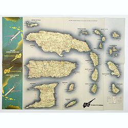
BWIA. North America - Caribbean Route Map.
1965 RAND MCNALLY & CO. - BWIA. North America - Caribbean Route Map.
Date: USA, ca 1960-1965
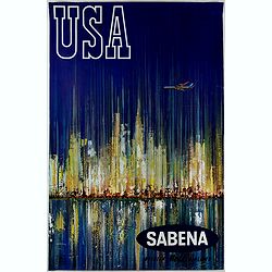
Sabena (USA - NYC).
1970 VAN DEN EYNDE, G. - Sabena (USA - NYC).
Date: Brussels, ca. 1970
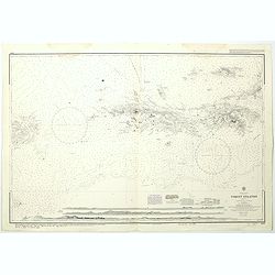
West Indies Virgin islands Sheet III Tortola I. to Culebra including St. Thomas...
1993 HYDORGRAPHIC OFFICE OF THE ADMIRALTY - West Indies Virgin islands Sheet III Tortola I. to Culebra including St. Thomas...
- $135 / ≈ €122
Date: London, 1856- 1988-1993
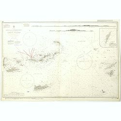
West Indies Anguilla to Puerto Rico showing the approaches to the Virgin Islands . . .
1999 HYDORGRAPHIC OFFICE OF THE ADMIRALTY - West Indies Anguilla to Puerto Rico showing the approaches to the Virgin Islands . . .
- $100 / ≈ €90
Date: London, 1868 - 1999
