Sign In or Sign Up
Subscribe to be notified if similar examples become available.
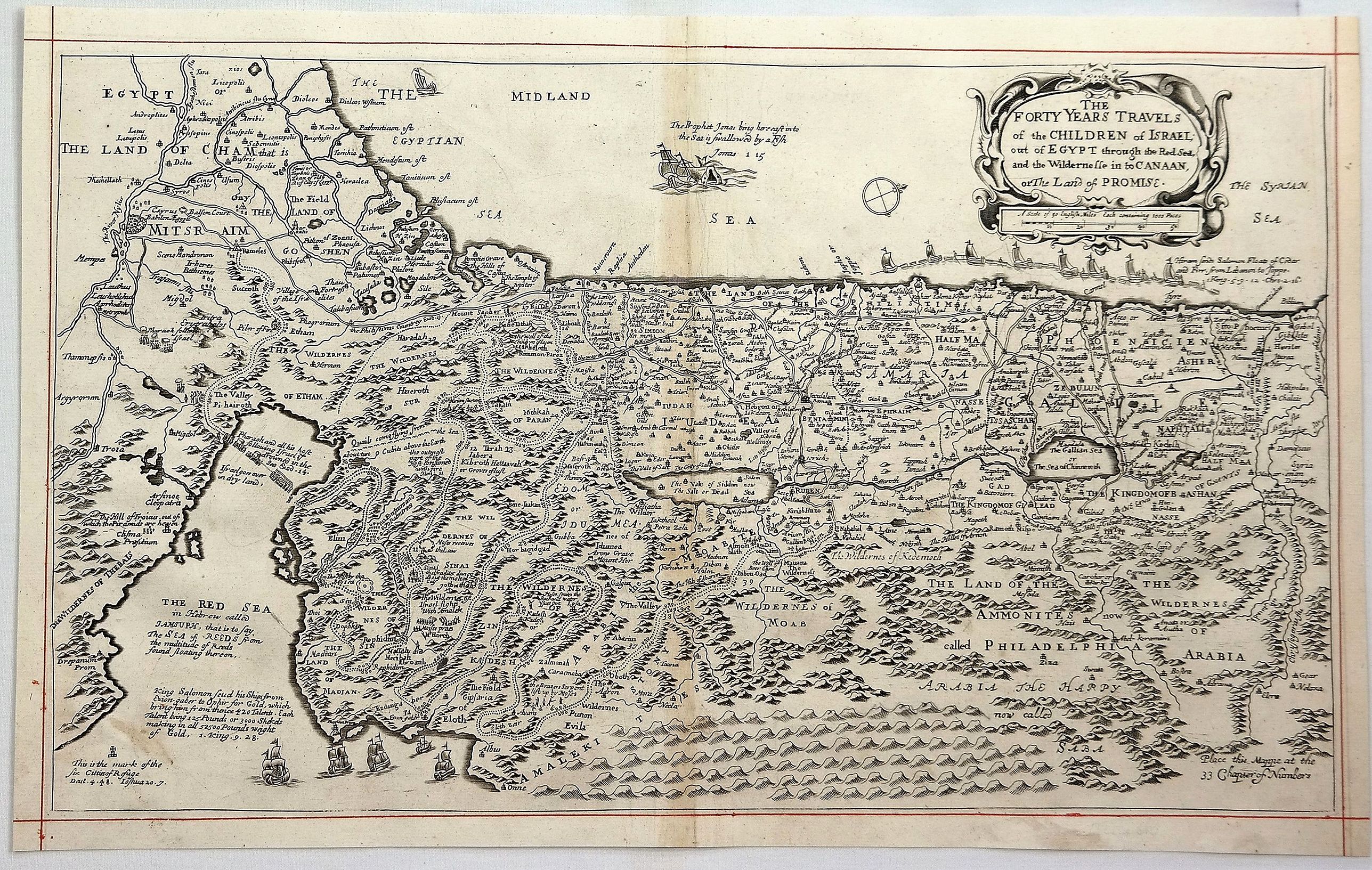
1671 BLOME, R. - The Forty Years Travels of the Children of Israel Out of Egypt. . .
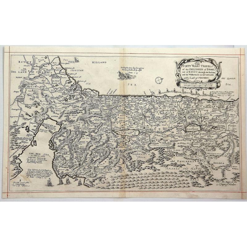
The Forty Years Travels of the Children of Israel Out of Egypt. . . |
||||||||||||||||||||
|
||||||||||||||||||||
|
|
||||||||||||||||||||
|
Selling price: $ Please login to see price!
Sold in 2023 Missed this item! Add your name to our mailing list and be the first to get notified about our newly added listings. . |
My Collection +
Add this or any of your favorite items in one place. If you want to save the items permanently, you have to sign in or create an account first.   Add/Remove
 |
|||||||||||||||||||



Description
A detailed map of the Palestinian and Lebanese coasts that depicts the Jews passage through the Red Sea and the Sinai Desert. North is oriented to the right.
Decorated with a title cartouche and ships sailing in the seas. Originally by Nicolas Visscher, the map was translated into English by Richard Blome.
Richard Blome (1641-1705) was a bookseller, map-seller and publisher. He was the cosmographical printer to King William III and cosmographer to Queen Anne. He was one of the pioneers of financing publications by advance subscription, inserting the arms of his patrons on the maps and plates.
Richard Blome (c.1635-1705)
Richard Blome was probably baptised on 10 July 1635 at St Anne’s, Blackfriars, London. He was the son of Jacob Bloome, a member of the Stationers’ Company (the family name appears as Bloome in documents, but he himself used Blome). He was freed of the Stationers’ Company by patrimony on 6 August 1660. He is generally thought to have begun as a heraldic painter, specializing in arms-painting for funerals, and was described by the antiquary Anthony Wood as “originally a ruler of paper, and now a scribbler of books.” He was one of the most prolific publishers in post-Restoration London, active from the 1660s to 1705.By 1700 his affairs, and presumably his finances, seem to have been in disarray, but he kept publishing almost until his death. He made his will on 7 May 1705, wishing to be buried in the church of Harlington, near Uxbridge, and the will was proved on 22 October 1705.
Blome financed his publications through subscription, requiring partial payment up front with the balance due after publication. Subscribers paid to have their names, titles, seats and coats of arms engraved on the maps they chose. "A Geographicall Descripcon" of the World was registered in 1663, but it was not until 1669 that he received a royal privilege (patent protection). With his more famous rival John Ogilby, Blome is credited with inaugurating a new period of activity in English cartography.
He is known for
- A Geographical Description of the Four Parts of the World (1670): taken from Nicolas Sanson’s work, with twenty-five maps engraved by leading artisans of the period, including Thomas Burnford, Wenceslaus Hollar and Francis Lamb.
- A Description of the Island of Jamaica (1672): with other isles and territories in America related to the English. It relied heavily on the help of Sir Thomas Lynch, Governor of Jamaica, and Colonel Thomas Modyford.
- Britannia (1673): a geographical description of the kingdoms of England, Scotland and Ireland, with county maps closely copied from Speed and reduced to roughly two-thirds of the scale.
- Cosmography and Geography (1682): including a translation of Varenius’s Geographia generalis. Reissued in 1683–1693.
- Speed’s Maps Epitomiz’d (1681, 1685): small maps, reissued later in the 17th and 18th centuries (including Thomas Taylor’s England Exactly Described, 1715).
FAQ - Guarantee - Shipping
This item is available for immediate purchase when a "Add to Cart" or "Inquire Now" button is shown.
Payments are accepted in Euros or US Dollars. We accept most major credit cards, PayPal and bank transfer.
Authenticity Guarantee
 We provide professional descriptions, condition report and HiBCoR rating (based on 45 years experience in the map business)
We fully guarantee the authenticity of items we sell. We provide a certificate of authenticity for each purchased item.
Condition / Coloring
We indicate the condition of each item and use our unnique HiBCoR grading system in which four key items determine a map's value: Historical Importance, Beauty, Condition/Coloring and Rarity.
We offer many maps in their original black and white condition. We do not systematically color-up maps to make them more sellable to the general public or buyer.
Copper engraved or wood block maps are always hand colored. Maps were initially colored for aesthetic reasons and to improve readability. Nowadays, it is becoming a challenge to find maps in their original colors and are therefor more valuable.
We use the following color keys in our catalog:
Original colors; mean that the colors have been applied around the time the map was issued.
Colored; If the colors are applied recently or at the end of the 20th century, then "colored", or "attractive colors" will be used.
Original o/l colors; means the map has only the borders colored at the time of publication.
Read more about coloring of maps [+]
FAQ
Please have a look for more information about buying in the BuyNow gallery.
Many answers are likely to find in the general help section.
My Collection+

With My Collection+ you can collect all your favorite items in one place. It is free, and anyone can create his or her virtual map collection.
Unless you are logged in, the item is only saved for this session. You have to be registed and logged-in if you want to save this item permanently to My Collection+. Read More [+]
If you want to save the items permanently, please sign in
or create account first.
Registering Here, it is and you do not need a credit card.
Add this item to My Collection+ or click the following link to see My Collection+.
Invoice
The invoice and certificates of authenticity are available in the client center >Invoices
|
Digital Image Download Paulus Swaen maintains an archive of most of our high-resolution rare maps, prints, posters and medieval manuscript scans. We make them freely available for download and study. Read more about free image download |
Click the image for a free small image download. |
YOUR RIGHT TO CANCEL THE PURCHASE OF A LOT
In accordance with the EU Consumer Rights Directive and habitually reside in the European Union you have the right to cancel the contract for the purchase of a lot, without giving any reason.
The cancellation period will expire 14 calendar days from the day after the date on which you or a third party (other than the carrier and indicated by you) acquires, physical possession of the lot. To exercise the right to cancel you must inform Paulus Swaen Inc, of your decision to cancel this contract by a clear statement (e.g. a letter sent by post, or e-mail.
To meet the cancellation deadline, it is sufficient for you to send your communication concerning your exercise of the right to cancel before the cancellation period has expired.
