Browse Listings
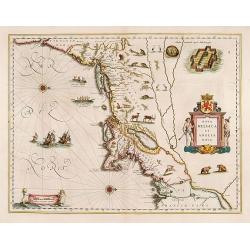
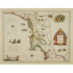
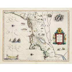
Nova Belgica et Anglia Nova.
Orientated with north to the right. This is one of the earliest maps to concentrate solely on this area of the colonies, excluding Virginia and the extreme north east coa...
Date: Amsterdam 1661
Selling price: ????
Please login to see price!
Sold
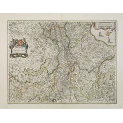
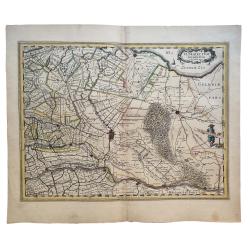
Geldria Ducatus et Zutphania Comitatus.
Map of Gelderland orientated west at the top, including Northern Limburg, eastern part of Brabant, Veluwe and Zutphen. Including the towns of Utrecht, Enschede, Rhunbeck,...
Date: Amsterdam, 1661
Selling price: ????
Please login to see price!
Sold in 2009
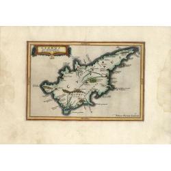
Cyprus Ex deliniatione Ubonis Emmii
A very scarce small map of Cyprus drawn by Ubonis Emmii and based on the Parergon map of Ortelius. Its shape is rather deformed and it has fewer ancient place names than ...
Date: Amsterdam, 1661
Selling price: ????
Please login to see price!
Sold in 2008
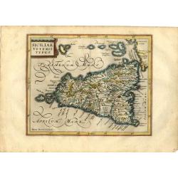
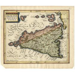
Siciliae Veteris Typus
Charming small map of ancient Sicily based largely on Ortelius and Gastaldi. Engraved by Petrus Kaerius and embellished with a strapwork title cartouche and decorative ca...
Date: Amsterdam, 1661
Selling price: ????
Please login to see price!
Sold in 2008
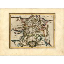
Armenia Syria, Mesopotamia etc.
This little map covers the region between the Black and Caspian Seas in the north, and from Egypt to the Persian Gulf in the south. It is finely engraved to show mountain...
Date: Amsterdam, 1661
Selling price: ????
Please login to see price!
Sold in 2008
Nova Belgica et Anglia Nova.
Orientated with north to the right. This is one of the earliest maps to concentrate solely on this area of the colonies, excluding Virginia and the extreme north east coa...
Date: Amsterdam 1661
Selling price: ????
Please login to see price!
Sold
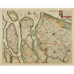
Delflandia, Schielandia.
Based ultimately on the large wall map by Balthazar Florisz van Berckenrode(1620-21), this finely engraved map shows the estuary of the River Maas and includes the area f...
Date: Amsterdam 1661
Selling price: ????
Please login to see price!
Sold
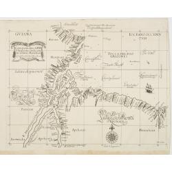
Carta Particolare dell? Rio d?Amazone con la costa sin al fiume Maranhan
Dudley?s magnificent map shows the mouth of the Amazon River. One of the smaller scale, more specific (?Carta Particolare?) maps and include sailing ships, notes on preva...
Date: Florence 1661
Selling price: ????
Please login to see price!
Sold
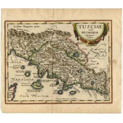
Tusciae sive Hetruriae Antiquae Typus.
A very attractive map of ancient Tuscany after Ortelius, whose map was based on Bellarmati's map supplemented by classical sources. Includes numerous small islands off th...
Date: Amsterdam 1661
Selling price: ????
Please login to see price!
Sold
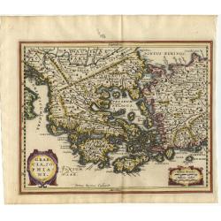
Graecia, Sophiani.
Charming small map of ancient Greece based on the map by Nikolaus Sophianos. Embellished with two strapwork cartouches. Engraved by Petrus Kaerius.
Date: Amsterdam 1661
Selling price: ????
Please login to see price!
Sold
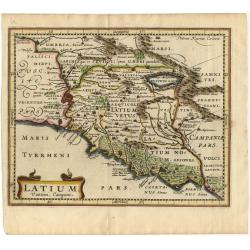
Latium Vestini, Campani
A fine small map of Italy's central-west coast, including Rome. Extends to include the Lago di Bracciano and down the coast to Gaeta. Good topographical detail, including...
Date: Amsterdam 1661
Selling price: ????
Please login to see price!
Sold
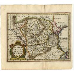
Daciarum Moesiarum que, Vetus Descriptio
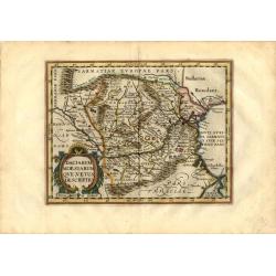
Handsome small map of the ancient region of Romania and Bulgaria based on Ortelius' map of the same title. Filled with old place names and embellished with a fine title c...
Date: Amsterdam 1661
Selling price: ????
Please login to see price!
Sold
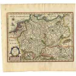
Germania.
Small map covering all of central Europe. The map is engraved with detail of rivers, mountains, and forests. Decorative title cartouche. At left of Holland a sailing ship...
Date: Amsterdam 1661
Selling price: ????
Please login to see price!
Sold
Belgii Veteris Typus Abrahami Ortelii.
Small map of this historic region with many ancient place names based on the map of Abraham Ortelius. The map is decorated with a delicate title cartouche.
Date: Amsterdam 1661
Selling price: ????
Please login to see price!
Sold
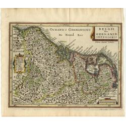
Belgii sive Germaniae Inferioris
Small map engraved by Petrus Kaerius, this map is filled with mountains, cities and villages. The map is oriented with north at right and is decorated with strapwork titl...
Date: Amsterdam 1661
Selling price: ????
Please login to see price!
Sold
Benevole Lector, in hac tabula Urbis Moskuae.. [Moscow]
Rare from his atlas Major.An extremely fine plan of Moscow, which is likely to have been based upon the survey ordered by Boris Fyodorovich Godunov. With a 60-point key, ...
Date: Amsterdam 1661
Selling price: ????
Please login to see price!
Sold
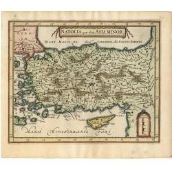
Natolia, Quae olim Asia Minor.
A small decorative map of Turkey and Cyprus with detail of mountains, rivers, lakes, cities and villages. Embellished with a banner style title cartouche and architectura...
Date: Amsterdam 1661
Selling price: ????
Please login to see price!
Sold
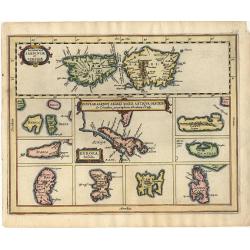
Insular Aliquot Aegaei Maris Antiqua Descrip.
A small map of Mediterranean islands based in part on Ortelius. The central map is of the Greek island Euboea and is surrounded by small maps of other islands. This compo...
Date: Amsterdam 1661
Selling price: ????
Please login to see price!
Sold
Siciliae veteris typus.
A small map of ancient Sicily based largely on Ortelius and Gastaldi. Engraved by Petrus Kaerius and embellished with a strapwork title cartouche.
Date: Amsterdam 1661
Selling price: ????
Please login to see price!
Sold
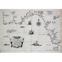
Una Carta del mare Oceano, che comincia con il capo S. Vinzensio in Portugallo, è Finisce con ll stretto de Gibilterra.
Robert Dudley (1574-1649). English geographer. Lived for the greater part in Florence in exile. His atlas 'Arcano del Mare' was the first English sea-atlas, the first sea...
Date: Florence, 1661
Selling price: ????
Please login to see price!
Sold
Nova Belgica et Anglia Nova.
Orientated with north to the right. This is one of the earliest maps to concentrate solely on this area of the colonies, excluding Virginia and the extreme north east coa...
Date: Amsterdam 1661
Selling price: ????
Please login to see price!
Sold
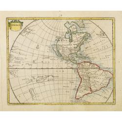
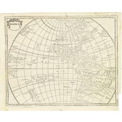
America.
Rare map of America, showing California as an island after the Briggs model. The continent is clearly after Visscher, c.1658 with the Blaeu type of depiction of the Great...
Date: Wolfenbüttel 1661
Selling price: ????
Please login to see price!
Sold
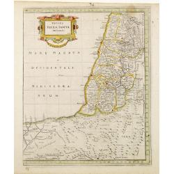
Totius Terrae Sanctae Delineatio.
Rare map of Palestine with large decorative title cartouche, from a book by Cluver Introductionis in Universam Geograpicam published by Johannis Bunonis.
Date: Wolfenbüttel 1661
Selling price: ????
Please login to see price!
Sold
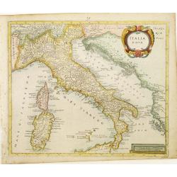
Italia Nova.
Rare map of Italy including only the north-eastern part of Sicily. Ornated with a large title cartouche.From a book by Cluver Introductionis in Universam Geograpicam publ...
Date: Wolfenbüttel 1661
Selling price: ????
Please login to see price!
Sold
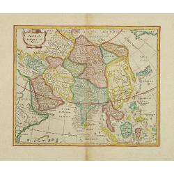
Asia Antiqua et Nova.
Rare map of Asia, from a book by Cluver Introductionis in Universam Geograpicam published by Johannis Bunonis.A first state.
Date: Wolfenbüttel 1661
Selling price: ????
Please login to see price!
Sold in 2014
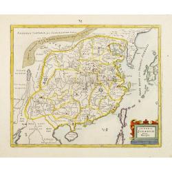
Imperii Sinarum Nova Descriptio.
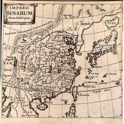
Rare map of the easternmost part of China, from a book by Cluver Introductionis in Universam Geograpicam published by Johannis Bunonis.A first state.
Date: Wolfenbüttel 1661
Selling price: ????
Please login to see price!
Sold
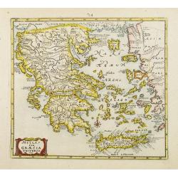
Hellas seu Graecia Universa.
Rare map of Greece, from a book by Cluver Introductionis in Universam Geograpicam published by Johannis Bunonis.A first state.
Date: Wolfenbüttel 1661
Selling price: ????
Please login to see price!
Sold
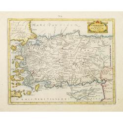
Chersonesi quae hodie Natolia Descriptio.
Rare map of Turkey, including Cyprus. From a book by Cluver Introductionis in Universam Geograpicam published by Johannis Bunonis.A first state.
Date: Wolfenbüttel 1661
Selling price: ????
Please login to see price!
Sold
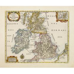
Veteris et Novae Britanniae Descriptio.
Rare map of the British Isles, with an inset map of the Orkney Islands in the upper right corner. Ornated with title cartouche, scale cartouche and compass rose.From a bo...
Date: Wolfenbüttel 1661
Selling price: ????
Please login to see price!
Sold
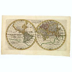
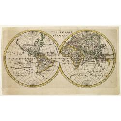
Typus Orbis Terrarum.
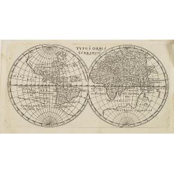
World map in double hemisphere showing the Arctic portion of North America as a geographical blank.In the Pacific discoveries are tentative, Australia is not outlined and...
Date: Wolfenbüttel 1661
Selling price: ????
Please login to see price!
Sold
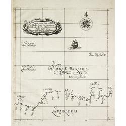
Carta particolare del mare Mediterraneo che comincia con il capo Bogia è Finisce con il porto de tre Croce.
Robert Dudley (1574-1649). English geographer. His rare atlas 'Arcano del Mare' was the first English sea-atlas, the first with charts -all in Mercator-projection- of the...
Date: Florence, 1661
Selling price: ????
Please login to see price!
Sold in 2009
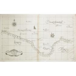
Carta particolare del mare Mediterraneo che comincia con il capo Teti è Finisce con Folselli in Barberia.
Robert Dudley (1574-1649). English geographer. His rare atlas 'Arcano del Mare' was the first English sea-atlas, the first with charts -all in Mercator-projection- of the...
Date: Florence, 1661
Selling price: ????
Please login to see price!
Sold
Nouveau Mexique.
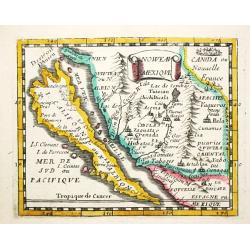
Piere du Val (1618-83), Paris-based cartographer and publisher. Atlases a.o. 'Cartes de Géographie', 1654-88, 'La Géographie universelle', 1661-1712. After his death, h...
Date: Paris, 1661.Paris, 1661
Selling price: ????
Please login to see price!
Sold in 2008
Daciarum Moesiarum que, Vetus Descriptio.
Handsome small map of the ancient region of Romania and Bulgaria based on Ortelius' map of the same title. Filled with old place names and embellished with a fine title c...
Date: Amsterdam, 1661
Selling price: ????
Please login to see price!
Sold in 2008
America.
Map of America with California as an island. Interesting map from a German edition of Philipp Clüver's famous Introductionis in Universam geographicam, first published i...
Date: Wolfenbüttel, ca. 1661
Selling price: ????
Please login to see price!
Sold in 2021
Agri Biemstrani Descriptio a L.I.S.
Detailed map of the polder Beemster in Noord Holland. Including the towns of Purmerend, De Ryp, Oudendijk, etc.
Date: Amsterdam, 1661
Selling price: ????
Please login to see price!
Sold in 2019
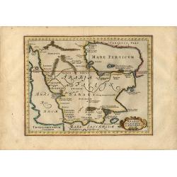
Arabia Eudaemon ex Plinio Lib VI Cap. 28. Orbis terrarum
Charming small map of the Arabian Peninsula is decorated with a strapwork title cartouche. Sparse detailing reflects the lack of knowledge of the geography other than the...
Date: Amsterdam, 1661
Selling price: ????
Please login to see price!
Sold in 2008
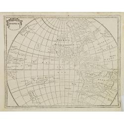
America.
Interesting map from a German edition of Philipp Clüver's famous Introductionis in Universam geographicam, first published in Leiden in 1624. Philipp Clüver (1580-1623)...
Date: Wolfenbüttel, ca. 1661
Selling price: ????
Please login to see price!
Sold in 2008
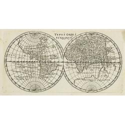
Typus Orbis Terrarum.
Interesting world map in two hemispheres from a German edition of Philipp Clüver\'s famous Introductionis in Universam geographicam, first published in Leiden in 1624. P...
Date: Wolfenbüttel, 1661
Selling price: ????
Please login to see price!
Sold in 2008
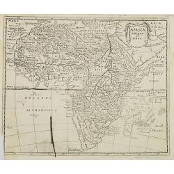
Africa antiqua et Nova.
Interesting map of Africa from a German edition of Philipp Clüver's famous Introductionis in Universam geographicam, first published in Leiden in 1624. Philipp Clüver (...
Date: Wolfenbüttel, later than 1661
Selling price: ????
Please login to see price!
Sold in 2008
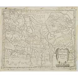
Scythia et Tartaria Asiatica.
Interesting map of Tartary and Scythia from a German edition of Philipp Clüver's famous Introductionis in Universam geographicam, first published in Leiden in 1624. Phil...
Date: Wolfenbüttel, 1661
Selling price: ????
Please login to see price!
Sold in 2009
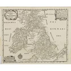
Veteris et nova Britannia descriptio.
Interesting map of the British islands from a German edition of Philipp Clüver's famous Introductionis in Universam geographicam, first published in Leiden in 1624. Phil...
Date: Wolfenbüttel, 1661
Selling price: ????
Please login to see price!
Sold in 2008
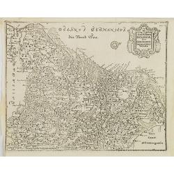
Hodiernae Belgicae sive Germaniae Infezrioris Tabula.
Interesting map of the Low Countries from a German edition of Philipp Clüver's famous Introductionis in Universam geographicam, first published in Leiden in 1624. Philip...
Date: Wolfenbüttel, 1661
Selling price: ????
Please login to see price!
Sold in 2008
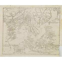
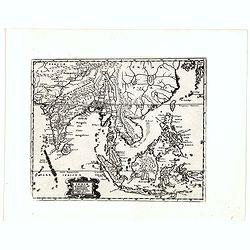
Indiae Orientalis et Insularum Antiqua et nova Descriptio.
Interesting map of South East Asia, including Indonesia, India, Taiwan from a German edition of Philipp Clüver's famous Introductionis in Universam geographicam, first p...
Date: Wolfenbüttel, 1661
Selling price: ????
Please login to see price!
Sold in 2009
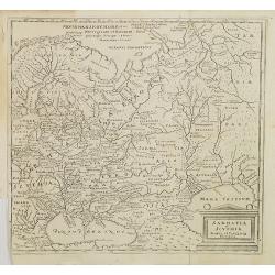
Sarmatia et Scythia Russia et Tartaria Europaa.
Interesting map of Scythia and Sarmatia from a German edition of Philipp Clüver's famous Introductionis in Universam geographicam, first published in Leiden in 1624. Phi...
Date: Wolfenbüttel, 1661
Selling price: ????
Please login to see price!
Sold in 2008
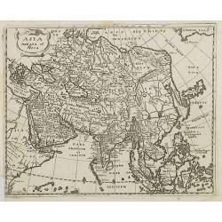
Asia Antiqua et Nova.
Interesting map of Asia from a German edition of Philipp Clüver\'s famous Introductionis in Universam geographicam, first published in Leiden in 1624. Philipp Clüver (1...
Date: Wolfenbüttel, 1661
Selling price: ????
Please login to see price!
Sold in 2008
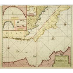
Pascaart van de Zee Kusten van Granada en Murcia..
Decorative and uncommon chart including the African and the Spanish coast. In top four insets of Almay, Buzema, Zasarinos Islands and Cartagena. A fifth large inset cover...
Date: Amsterdam, 1661
Selling price: ????
Please login to see price!
Sold in 2010
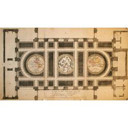
De Grondt en Vloer vande Groote Burger Sael
This unique sheet depicts three maps that were laid in the marble floor of Amsterdam Town Hall. At center is a celestial map of the northern sky with the Western and East...
Date: Amsterdam, 1661
Selling price: ????
Please login to see price!
Sold in 2009
Ultraiectum Dominium.
Based on the map by B.F.van Berckenrode (1620-21).
Date: Amsterdam, 1661
Selling price: ????
Please login to see price!
Sold in 2021
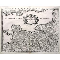
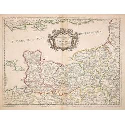
Duche et Gouvernement de Normandie. . .
Fine map of Normandy.This edition carries the date 1661, engraved by R.Cordier.Nicolas Sanson was to bring about the rise of French cartography, although the fierce compe...
Date: Paris, 1661
Selling price: ????
Please login to see price!
Sold
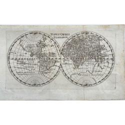
Typus Orbis Terrarum.
Nice, uncommon map of the world in two hemispheres by P. Cluver. Published in Wolfenbüttel by J. Buno, 1661. With title at the top. It shows a huge Antarctic region. Man...
Date: Wolfenbüttel, 1661
Selling price: ????
Please login to see price!
Sold in 2020
Londinum London.
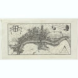
A delightful and attractive small 17th century 'bird's-eye plan of London, by Rutger Hermannides; from his Britannia Magna sive Angliae, Scotiae, Hiberniae & Adjacent...
Date: Amsterdam, 1661
Selling price: ????
Please login to see price!
Sold in 2022
Typus Orbis Terrarum.
Interesting world map in two hemispheres from a German edition of Philipp Clüver's famous Introductionis in Universam geographicam, first published in Leiden in 1624. Ph...
Date: Wolfenbüttel, 1661
Selling price: ????
Please login to see price!
Sold in 2016
Caerte van de Scher-meer Alsoo deselve is Bedyckt, ende by Cavels van 15 Morgen suyver landt door lotinge uytgedelt, op den 25 October Anno 1635, ende aldus met groote verbeteringe int licht gegeven.
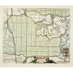
Attractive map of the polder Schermer near Alkmaar by Cornelis Ian allers Bogaert and published by Blaeu. At the lower right side a coat of arms of Schermer. In the lower...
Date: Amsterdam, 1661
Selling price: ????
Please login to see price!
Sold in 2019
Imperii Sinarum Nova Descriptio.
Detailed small map of China engraved by Bertius.
Date: Amsterdam, 1661
Selling price: ????
Please login to see price!
Sold in 2012
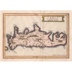
Creta
A small historical map of Crete with a simple strapwork title cartouche. The map is based on the cartography of Ubbo Emmius, who worked for Hondius and Jansson, and engra...
Date: Amsterdam 1661
Selling price: ????
Please login to see price!
Sold in 2014
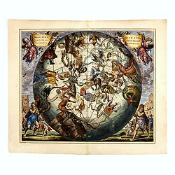
Haemisphaerium Stellatum Australe Cum Aequali Sphaerarum Proportione.
The very rare first edition, first state of this spectacular celestial chart showing the constellation of the southern hemisphere superimposed upon a globe depicting Amer...
Date: Amsterdam, J.Janssonius, 1661
Selling price: ????
Please login to see price!
Sold in 2014
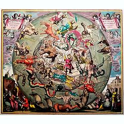
Hemisphaerii Borealis Coeli et Terrae Sphaeri Cascenographia.
Andreas Cellarius (active from 1656-1702), Dutch mathematician and geographer, rector of the Latin School at Hoorn. He may have been of German or Polish origin, with the ...
Date: Amsterdam, 1661
Selling price: ????
Please login to see price!
Sold in 2016
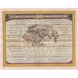
Orbis Terrarum Veteribus Cogniti Typus Geographicus.
This map of the classical World is based upon Abraham Ortelius' ancient map of the World, which was later re-issued by Jan Jansson. This is a reduced version of the map. ...
Date: Amsterdam, 1661
Selling price: ????
Please login to see price!
Sold in 2018
Burtoniensis ecclesiae, (in agro Staffordiensi)
A very decorative copper engraving of Burton-upon-Trent, England, engraved by Hollar, from Dugdale's book, published in London in 1661. Decorated with three beautiful car...
Date: London, 1661
Selling price: ????
Please login to see price!
Sold in 2016
[Title page] ARCANO DEL MARE
Decorative folio title page from Robert Dudley's "Dell’arcano del mare, an encyclopedic work on navigation with an atlas of maps drawn on the Mercator projection. ...
Date: Florence, 1661
Selling price: ????
Please login to see price!
Sold in 2018
Indiae Orientalis et Insularum Antiqua et nova Descriptio.
Interesting map of South East Asia, including Indonesia, India, Taiwan, Philippines from Philipp Clüver's famous Introductionis in Universam geographicam, first publishe...
Date: Wolfenbüttel, 1661
Selling price: ????
Please login to see price!
Sold in 2020
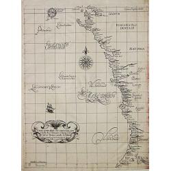
Carte particolare che comincia con l'Isole di S. Tomasso e Tome e c. d' S. Clara e finisce con il. c. d' Aldeas.
Chart of Gabon, Congo, Zaire and Angola] Carte particolare che comincia con l'Isole di S. Tomasso e Tome e c. d' S. Clara e finisce con il. c. d' Aldeas. Description: Rob...
Date: Florence, 1661
Selling price: ????
Please login to see price!
Sold in 2019
(The coast of Argentina from Cape S. Andreas to Golfo San Jorge.)
A chart from Robert Dudley's sea-atlas Arcano del Mare. It depicts the coast of Argentina from Cape S. Andreas in lattitude 39 o S. to Golfo San Jorge.Robert Dudley (1574...
Date: Florence, 1661
Selling price: ????
Please login to see price!
Sold in 2019
Carta particolare d'Argentina che comincia con il capo S. Andrea e¨ finisce con il capo Matas d'America.
Robert Dudley (1574-1649). English cartographer. The Arcano del Mare (Mystery of the Sea) is "ONE OF THE GREATEST ATLASES OF THE WORLD": it is the first sea-atl...
Date: Florence, 1661
Selling price: ????
Please login to see price!
Sold in 2019
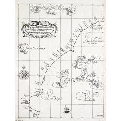
[Atlantic Ocean] Carta particolare dell mare Oceano fra la costa di Guinea e la Brasilia.
A large, small-scale, so-called cross-over chart of the Atlantic Ocean on two sheets. From Robert Dudley's atlas Arcano del Mare, with the coast of Africa and the eastern...
Date: Florence, 1661
Selling price: ????
Please login to see price!
Sold in 2019
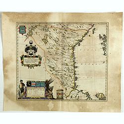
Nordlandiae et quibies Gestricia et Helsingicae regiones.
It shows the east central part of Sweden Gästrikland and Hälsingland). The body of water to the east is the Gulf of Bothnia.The map is enhanced by a number of decorativ...
Date: Amsterdam, 1661
Selling price: ????
Please login to see price!
Sold in 2019
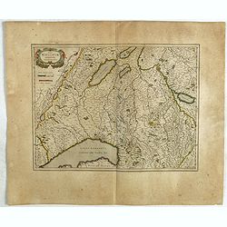
Das Wiflispurgergow.
A lovely detailed map of South-western Switzerland after Gerhard Mercator's map of the same. With an ornamental title cartouche and Dutch text on the verso. It shows Gene...
Date: Amsterdam, ca 1661
Selling price: ????
Please login to see price!
Sold in 2019
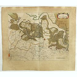
Kaerte van de vier ambachten.
Uncommon map of the ‘Vier Ambachten’ in Zeeuws-Vlaanderen. The map covers the area of IJzendijke, Biervliet, Sas van Gent, Axel, Hulst, Lillo and parts of Zuid-Bevela...
Date: Amsterdam, 1661
Selling price: ????
Please login to see price!
Sold in 2019
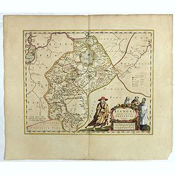
Kiangsi Imperii Sinarum provincia octava. (Kiangsi)
Prepared 1655 by Martino Martini and published by Joan Blaeu in his Atlas Maior. A fine map of Jiangxi (Kiangsi) Province in China. The map depicts the region from the Ya...
Date: Amsterdam, 1661
Selling price: ????
Please login to see price!
Sold in 2020
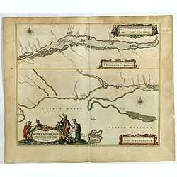
Tractus Borysthenis vulgo Dniepr et Niepr Dicti, à Kiovia ufque ad Bouzin.
This superb map shows the upper part of the Dnieper River in two horizontal strips, the upper map with a compass rose orienting the map, west to the top. It is richly emb...
Date: Amsterdam, 1661
Selling price: ????
Please login to see price!
Sold in 2020
[Poland, region between Glogaw and Wartenberg] Baronatus Carolato Bethaniensis. . .
This superb map including the river Oder with Glogów, Nowa Sól and Wartenberg in southwestern Poland. Glogów County, in Lower Silesian Voivodeship, was previously in L...
Date: Amsterdam, 1661
Selling price: ????
Please login to see price!
Sold in 2021
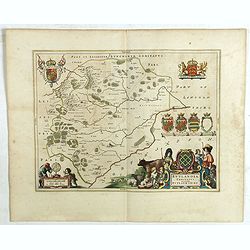
Rutlandia Comitatus. Rutland Shire.
One of the most decorative maps of the county Rutlandshire, with armorials, a scale cartouche and a rustic title cartouche It is richly embellished with an elaborate titl...
Date: Amsterdam, 1661
Selling price: ????
Please login to see price!
Sold in 2020
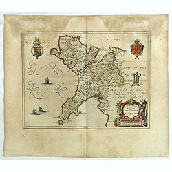
Comitatus Caernarvoniensis, Vernacule Carnarvon-Shire et Mona Insula Vulgo Anglesey.
One of the most decorative maps of Caernarvonshire and Anglesey with present-day Gwynedd and Mon. The map is embellished with the Royal Arms, the crest and feathered crow...
Date: Amsterdam, 1661
Selling price: ????
Please login to see price!
Sold in 2020
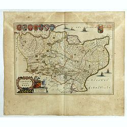
Cantium Vernacule Kent.
of the county of Kent. The map is embellished with the Royal Arms, the crest and feathered crown of the Prince of Wales. The decorative title and scale cartouche features...
Date: Amsterdam, 1661
Selling price: ????
Please login to see price!
Sold in 2020
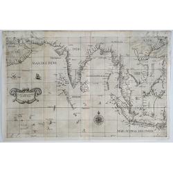
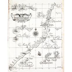
Carta prima Generale dell' Asia.
A rare sea chart of India and Indonesia, in a first state. The chart appeared in Dudley's Arcano del Mare, one of the rarest and most highly sought after sea atlases of t...
Date: Florence, 1641/1661
Selling price: ????
Please login to see price!
Sold in 2019
Typus Orbis Terrarum.
An interesting world map in two hemispheres from a German edition of Philipp Clüver's famous Introductionis in Universam geographicam, first published in Leiden in 1624....
Date: Wolfenbüttel, 1661
Selling price: ????
Please login to see price!
Sold in 2020
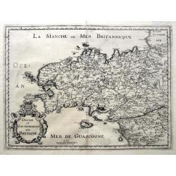
Duche et Gouvernement de Bretagne.
An unusual map published shortly after the very similar map by Sanson. Very detailed, filled with place names, rivers, woods, islands, etc. From Martin Zeiller's Topograp...
Date: Frankfurt, ca 1661
Selling price: ????
Please login to see price!
Sold in 2019
Duche et Gouvernement de Normandie.
A fine map published in Martin Zeiller's Topographia Galliae. Very detailed, filled with place names, rivers, woods, islands, etc. Extends just until Paris, includes the ...
Date: Frankfurt, ca 1661
Selling price: ????
Please login to see price!
Sold in 2019
Dimidia Tribus Manasse Ultra Iordanem, Tribus Neptalim et partes orientales tribuum Zabulon et Isachar.
One sheet of the six sheet map by Georgius Hornius map of the Holy Land. Each of the maps is embellished with countless vignettes and other images drawn from Biblical tra...
Date: Amsterdam, Janssonius, 1662
Selling price: ????
Please login to see price!
Sold in 2013

![Benevole Lector, in hac tabula Urbis Moskuae.. [Moscow]](/uploads/cache/02033-250x250.jpg)


![[Title page] ARCANO DEL MARE](/uploads/cache/81880-250x250.jpg)
![[Atlantic Ocean] Carta particolare dell mare Oceano fra la costa di Guinea e la Brasilia.](/uploads/cache/81883-250x250.jpg)
![[Poland, region between Glogaw and Wartenberg] Baronatus Carolato Bethaniensis. . .](/uploads/cache/42503-250x250.jpg)
