Browse Listings
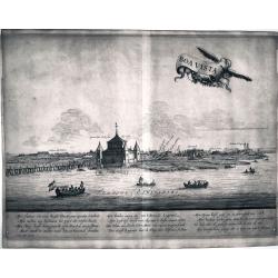
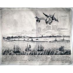
Boa Vista
This is a reduced version of the famous view of Boa Vista derived by the famous work of Barlaeus entitled "Rerum per octennium in Brasilia et alibi gestarum..."...
Date: Amsterdam, ca 1660
Selling price: ????
Please login to see price!
Sold in 2022
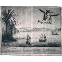
Parayba
This is a reduced version of the famous view of Parayba derived by the famous work of Barlaeus entitled "Rerum per octennium in Brasilia et alibi gestarum...", ...
Date: Amsterdam, ca 1660
Selling price: ????
Please login to see price!
Sold in 2022
Acapitania de Paranambuca
This is a reduced version of the famous view of the Captaincy of Pernambuco or New Lusitania, derived by the famous work of Barlaeus entitled "Rerum per octennium in...
Date: Amsterdam, ca 1660
Selling price: ????
Please login to see price!
Sold in 2022
[Lot of 5 maps of Greece]. Candia olim Creta.
Johannes Blaeu's attractive map of Crete. Johan Blaeu succeeded his father Willem when the latter died in 1638. Johan led the Blaeu firm to its greatest achievement the...
Date: Amsterdam, 1660
Selling price: ????
Please login to see price!
Sold in 2023
[Lot of 3 maps] Candia olim Creta.
Johannes Blaeu's attractive map of Greta. Johan Blaeu succeeded his father Willem when the latter died in 1638. Johan led the Blaeu firm to its greatest achievement the '...
Date: Amsterdam, c. 1660
Selling price: ????
Please login to see price!
Sold in 2022
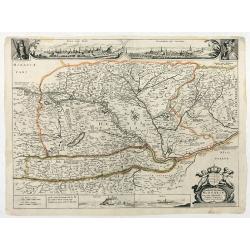
Novissima et emendata delineatio Hungariae una cum adjacentibus et finitimis regionibus.
First state. With two inset views of Buda and Bratislava (Posoniensis vulgo Presburg) above the map, between the half-lenght portraits of Leopold I. and the Turkish Sulta...
Date: Anvers ?, c. 1660
Selling price: ????
Please login to see price!
Sold in 2025
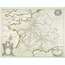
Carte Géographique des Postes qui traversent la France.
Attractive map of France shows post road mapspost routes connecting major cities, towns and harbors. Depicts sailing vessels in the British Channel and the Bay of Biscay ...
Date: Paris, 1632-1660
Selling price: ????
Please login to see price!
Sold
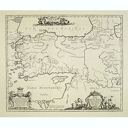
Tabula Itineris Decies Mille Graecorum sub Cyro... Per P. du Val. . .
Decorative map of Asia Minor, Cyprus and the neighboring areas, the map features the expedition of Cyprus the Great .Compiled and drawn by Pierre duVal for Janssonius' hi...
Date: Amsterdam, 1660
Selling price: ????
Please login to see price!
Sold in 2012
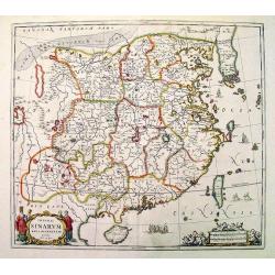
Imperii Sinarum.
Very attractive example of Van Loon's map published by Jan Janssonius. Superb coloring.
Date: Amsterdam, c. 1660
Selling price: ????
Please login to see price!
Sold
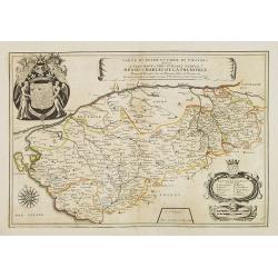
Carte du Duché et Pairie de Thouars dediée a Tres-Haut et Tres Puissant Prince Henri-Charles de la Tremoille . . .
Scarce map of the Touars Duchy with a beautiful coat of arms upper left and a title cartouche on center right. A key and a scale cartouche lower right. With a dedication ...
Date: Paris, 1660
Selling price: ????
Please login to see price!
Sold in 2013
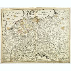
Carte generalle d'allemaigne nouvellement misse en françois et Ampliffiée de tous les Royaumes. . .
Attractive and rare map of Germany, the Low Countries, Austria, Switzerland and part of Poland.
Date: Paris, 1632-1660
Selling price: ????
Please login to see price!
Sold in 2017
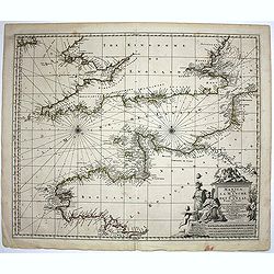
Manica, gallis La Manche, et belgis Het Canaal.
Chart of the English Channel. Stretching from "Belle Isle" lower center, to Cardigan, top left- and Colchester, top right-hand side.
Date: Amsterdam, 1660
Selling price: ????
Please login to see price!
Sold in 2014
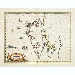
Spitsberga.
Blaeu's map of Spitsbergen was based on the Muscovy Company's map of 1625, but the north coast is completely new. It makes the heads of Wiche sound (Liefde bay) and Wyde ...
Date: Amsterdam, 1660
Selling price: ????
Please login to see price!
Sold in 2016
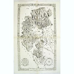
Il territorio Vicentino delineato per Angelo Gio. Novello, Agrimensor et intagliato da Marco Boschini.
Rare two-sheet map centered on Vicenza, situated in between Venice and Verona. North of Bassano de Grappa and Schio dramatic rendering of the mountains. The most southern...
Date: Venice, ca.1660
Selling price: ????
Please login to see price!
Sold in 2012
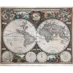
Nova totius terrarum orbis tabula auctore F. de Wit.
This is the first state of the world maps by F. de Wit. Especially rare, extremely decorative. It appeared in "De Zee-Atlas Ofte Water-Wereld ..." By Hendrik Do...
Date: Amsterdam, 1660
Selling price: ????
Please login to see price!
Sold in 2014
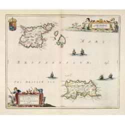
Sarnia Insula vulgo Garnsey et Insula Caesarea venacule Jarsey.
Very fine map depicting the English islands Jersey and Guernsey. Decorative cartouche with a shepherd, a shepherdess and sheep.The crown on top of the coat of arms height...
Date: Amsterdam, 1660
Selling price: ????
Please login to see price!
Sold in 2014
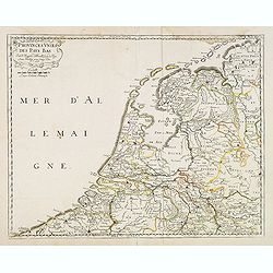
Provinces unies des Pays Bas. Par N. Sanson d'Abbeville. . .
Fine map of the present-day Netherlands. This edition carries un unfinished date "166 " and was engraved by R.Cordier Abbauil.Nicolas Sanson was to bring about ...
Date: Paris, after 1660
Selling price: ????
Please login to see price!
Sold in 2014
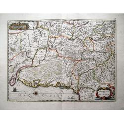
Description du Guienne.
Map of the Gascogne region, Aquitaine, including the coast of the Bay of Biscay, Bordeaux, Bayonne, San Sebastian, Bergerac, and Toulouse. North orientated to the left. ...
Date: Amsterdam, c1660
Selling price: ????
Please login to see price!
Sold in 2013
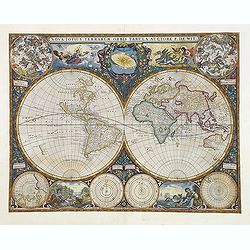
Nova Totius Terrarum Orbis Tabula.
This is the first state of the world maps by F. de Wit. Especially rare, extremely decorative.It appeared in "De Zee-Atlas Ofte Water-Wereld ..." By Hendrik Don...
Date: Amsterdam, 1660
Selling price: ????
Please login to see price!
Sold
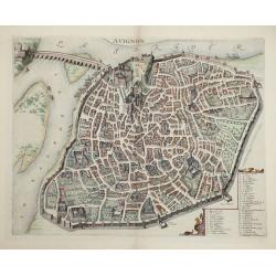
Avignon.
This rare bird's-eye plan depicts Avignon situated on both banks of the Sorgue River. A key locating 45 important sites is enclosed in the decorative cartouche at bottom ...
Date: Amsterdam, 1660
Selling price: ????
Please login to see price!
Sold in 2014
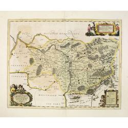
Ducatus Silesiae Grotganus cum Districtu Episcopali Nissensi Delineatore Iona Sculteto, Silesio.
Attractive old colored engraved map of Upper Silesia prepared by Joanus Scultetus, a Silesian cartographer (1603-1664) and published by J. Janssonius. Showing the area ar...
Date: Amsterdam, 1660
Selling price: ????
Please login to see price!
Sold in 2015
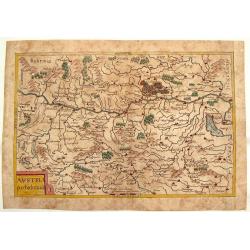
Austria Archducatus.
Quaint map of the Duchy of Austria along the Danube River. Features block cartouche.Matthäus Merian (1593 – 1650) was a Swiss -born engraver who worked in Frankfurt fo...
Date: Frankfurt, 1660
Selling price: ????
Please login to see price!
Sold in 2016
Palatinatus Rheni.
Striking map of the Palentine region of Germamy featuring the cities of Worms, Heydleberg and Kobelberg. A wonderful coat of arms cartouche with three lions decorates the...
Date: Frankfurt, 1660
Selling price: ????
Please login to see price!
Sold in 2015
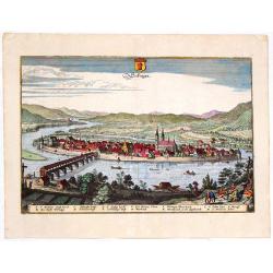
Secfingen.
Hand-colored copper engraved aerial view of Sefingen, Austria. Featured places on the view include Schonawer hoffe, sreinerne Rhein bruck and Gallen Kirchl on the Rhenus ...
Date: Frankfurt, 1660
Selling price: ????
Please login to see price!
Sold in 2013
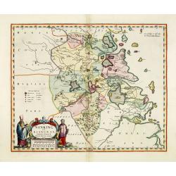
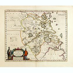
Nanking, sive Kiangnan, Imperii Sinarum Provincia Nona.
A map of Nanking, or Kiangnan, province (roughly corresponding to today's Jiangsu Province and Shanghai Municipality, after the Jesuit Martino Martini.Good detail of Yang...
Date: Amsterdam, ca 1660
Selling price: ????
Please login to see price!
Sold in 2013
Tabula IV sequitur Farnesiana Posticus.
Ornamental representation of the Vatican in Rome after Petrus Aqulia.
Date: Rome, 1660
Selling price: ????
Please login to see price!
Sold in 2014
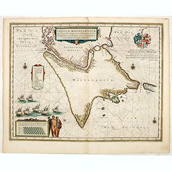
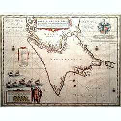
Tabula Magellanica, qua Tierra del fuego. . .
A map with Willem Blaeu's signature, but published by his son Joan, of South America's extremity with the Strait of Magellan and Le Maire Strait.The coastlines are depict...
Date: Amsterdam, 1660
Selling price: ????
Please login to see price!
Sold in 2014
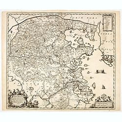
Pecheli, Xansi, Xantung, Honan, Nanking, In plaga Regni Sinensis..
A map of the northern provinces of China after the Jesuit Martino Martini, Beijing, Shandong, Hanan and Jiangsu.Shows the Great Wall and covers northeastern China includi...
Date: Amsterdam, ca 1660
Selling price: ????
Please login to see price!
Sold in 2014
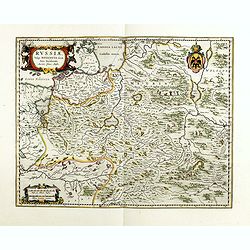
Russiae, vulgo moscoviae dictae, pars occidentalis.
A finely engraved depiction of the area from Estonia to Moscow. The map is based on the travels of Isaac Massa, who visited Moscow in the early 1600s and thus was in the ...
Date: Amsterdam, ca. 1660
Selling price: ????
Please login to see price!
Sold in 2014
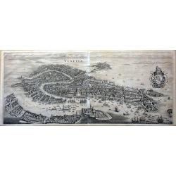
Venetia.
This famous bird's-eye town view of Venice and the lagoon area (Murano, Burano, Torcello etc.) is considered one of the influential of the time. It depicts in details the...
Date: Frankfurt, 1660
Selling price: ????
Please login to see price!
Sold in 2014
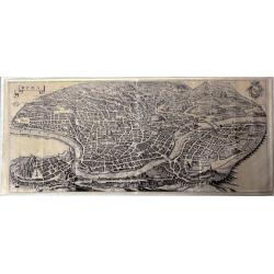
Roma.
This large, famous bird's-eye town view of Rome is considered one of the most influential of the time.It depicts in details the city's architectural landmarks. Extremely ...
Date: Frankfurt, 1660
Selling price: ????
Please login to see price!
Sold in 2014
Nanking, sive Kiangnan, Imperii Sinarum Provincia Nona.
A map of Nanking, or Kiangnan, province (roughly corresponding to today's Jiangsu Province and Shanghai Municipality, after the Jesuit Martino Martini.Good detail of Yang...
Date: Amsterdam, ca 1660
Selling price: ????
Please login to see price!
Sold in 2015
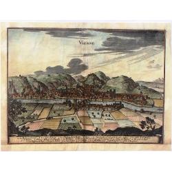
Vienne.
Striking view of the town and harbor of Vienne, France. Matthaus Merian (1593-1650) was a Swiss engraver and one of the most prolific engraver's of town views in the 17t...
Date: Frankfurt, 1660
Selling price: ????
Please login to see price!
Sold in 2015
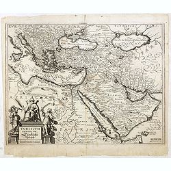
Turcicum Imperium. Türckische Reijch.
A reduced version of Blaeu's map of the Middle East. The map extends from the Mediterranean to Arabia and is notable for the fine title cartouche bottom left surmounted b...
Date: Frankfurt, 1660
Selling price: ????
Please login to see price!
Sold in 2015
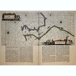
Fretum Nassovium vulgo de Straet Nassou.
Decorative map of the Nassau Strait, from the Atlas Major. Includes 2 compass roses, sailing ship.
Date: Amsterdam, 1660
Selling price: ????
Please login to see price!
Sold in 2018
Tabula Magellanica, qua Tierra del fuego. . .
A map with Willem Blaeu's signature, but published by his son Joan, of South America's extremity with the Strait of Magellan and Le Maire Strait.The coastlines are depict...
Date: Amsterdam, 1660
Selling price: ????
Please login to see price!
Sold in 2016
Patriae Antiuae Inter Iuly et Caroli Magni Caesarium Romanorum Tempora Descriptio
An iInteresting map by Jan Janssonius of the “Low Countries and Northern Germany”. The compass rose orients this map with north to the right. The map describes the p...
Date: Amsterdam, 1660
Selling price: ????
Please login to see price!
Sold in 2016
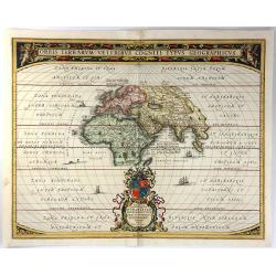
Orbis Terrarum Veteribus Cogniti Typus Geographicus.
A beautifully engraved classic map of the ancient world, based on an earlier chart by Ortelius. Africa, Asia and Europe as far south as Northern Madagascar are placed at ...
Date: Amsterdam, 1660
Selling price: ????
Please login to see price!
Sold in 2016
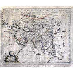
Nova et Exacta Asiae Geographica Descriptio Auct Hugo Allardt
A very rare, large map depicting Asia and an early northern part of Australia.Among the peculiarities of the map are a fine representation of the Philippines, while Korea...
Date: Amsterdam, ca. 1660
Selling price: ????
Please login to see price!
Sold in 2016
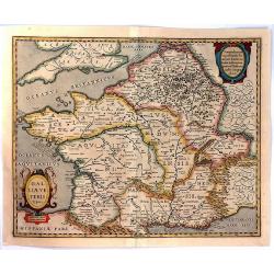
Galliae Veteris Typus.
A pleasing Latin map of France during Roman times, based on Ortelius' map, which in turn was based on ancient geographical sources. The map is filled with detail and anci...
Date: Amsterdam, 1660
Selling price: ????
Please login to see price!
Sold in 2016
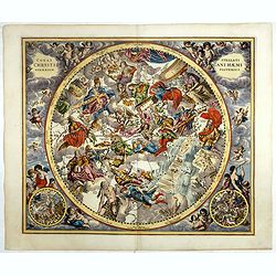
Coeli Stellati Christiani Haemisphaerium Posterius.
Rare first issue. This spectacular celestial chart presents the constellations according to Christian symbolism. The view of the constellations is based on the work of th...
Date: Amsterdam, 1660
Selling price: ????
Please login to see price!
Sold
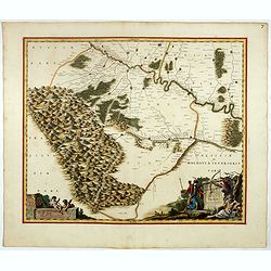
Ukrainae pars quae Pokutia Vulgo dicitur.
This is a scarce map of the western parts of Ukraine and vicinity, covering the Carpathian Mountains and extending eastward along the Dniester River to Moldova. Includes ...
Date: Amsterdam, ca. 1660
Selling price: ????
Please login to see price!
Sold in 2017
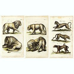
(Three plates showing tigers, leopards, lion, etc, etc.)
Two pages from the first and only but very important Dutch edition of this curious and comprehensive zoological work, richly illustrated with excellent copper engravings,...
Date: Amsterdam, 1660
Selling price: ????
Please login to see price!
Sold in 2017
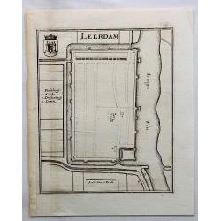
Leerdam.
Small map of fortified Leerdam, located in Gelderland, Holland.
Date: Frankfurt, ca. 1660
Selling price: ????
Please login to see price!
Sold in 2017
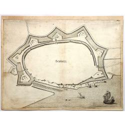
Bommel.
Den Bommel is a village in the Dutch province of South Holland. It is a part of the municipality of Goeree-Overflakkee. This town view is detailed especially in regard to...
Date: Frankfurt, 1660
Selling price: ????
Please login to see price!
Sold in 2018
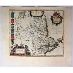
Sueonia Proprie Sie Dicta.
A very decorative map of eastern Sweden. Several beautiful cartouches are displayed. The left side is adorned with six municipal code of arms. There are a total of six pu...
Date: Amsterdam, 1660
Selling price: ????
Please login to see price!
Sold in 2019
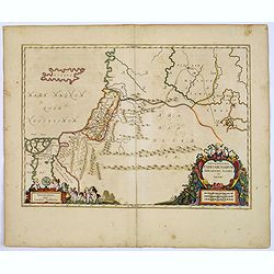
Tabula Itineraria Patriarcharum Abrahami, Isaaci et Jacobi.
The Holy Land and Egypt in left hand part of the map. Showing travels of Abraham, Isaac and Jacob. With some nice decorative cartouches.
Date: Amsterdam, 1660
Selling price: ????
Please login to see price!
Sold in 2017
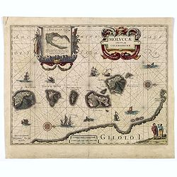
MOLUCCAE Insulae Celeberrimae.
A highly decorative map of the "Spice Islands".
Date: Amsterdam, ca. 1660
Selling price: ????
Please login to see price!
Sold in 2018
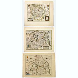
Comitatuum Boloniae et Guines Descriptio. / Bolonia & Guines Comitatus. / Territorium Metense . .
[Three maps] The first of this handsome set of maps has west is orientated to the top. Very fine copper engraved map by one of the acknowledged masters of seventeenth cen...
Date: Amsterdam, ca. 1620 - 1660
Selling price: ????
Please login to see price!
Sold in 2018
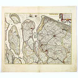
Delflandia, Schielandia. . .
This detailed road map shows the estuary of the River Maas and extends.
Date: Amsterdam, ca. 1660
Selling price: ????
Please login to see price!
Sold in 2017
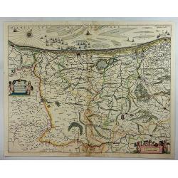
Pars Flandriae Teutonicae.
A fine map of Flemish Flanders with the city of Dunkerque shown and a huge fleet of 39 ships. The interior is well engraved with forests and towns, and extends to the Lys...
Date: Amsterdam, 1660
Selling price: ????
Please login to see price!
Sold in 2018
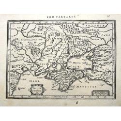
Taurica Chersonesus.
A copper engraved map of the central Ukraine from the "Atlas Minor" (Gerhard Mercator / Jodocus Hondius). Extends from Cherkassy to Crimea and the Sea of Azov. ...
Date: Amsterdam, ca. 1609 -1660
Selling price: ????
Please login to see price!
Sold in 2018
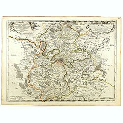
Diocese, Prevoste, et Eslection de Paris . . .
A good engraved map of Ile de France region, centered on Paris.
Date: Paris, 1660
Selling price: ????
Please login to see price!
Sold in 2020
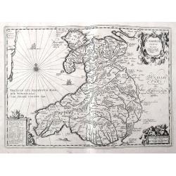
Cambriae Typus Auctore Humfredo Lhuydo.
Fantastic early map of Wales with sailing ships, a sea monster, compass rose, several putti, and an ornamental title cartouche. The map shows numerous towns, rivers, hill...
Date: Amsterdam, ca. 1660
Selling price: ????
Please login to see price!
Sold in 2018
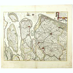
Delflandia, Schielandia. . .
This detailed road map shows the estuary of the River Maas and extends from 's-Gravenhage to Gouda in the north and from Ouddorp to Steenbergen in the south. Cities, such...
Date: Amsterdam, ca. 1660
Selling price: ????
Please login to see price!
Sold in 2018
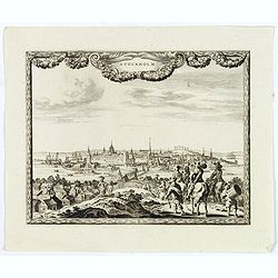
Stockholm.
An excellent and rare copperplate view of the Swedish capitol from the Afbeeldinghe der voornaemste steden van Europa.It shows a group of wealthy noblemen in the foregrou...
Date: Amsterdam, ca 1660
Selling price: ????
Please login to see price!
Sold in 2018
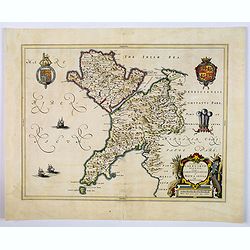
Comitatus Caernarvoniensis, Vernacule Carnarvonshire. Et Mona insula Vulgo Anglessey.
The detailed and decorative Blaeu double-page map of Caernarvon & Anglesey, with a decorative title cartouche depicting a farmer with his harvest, royal armorials and...
Date: Amsterdam, ca 1660
Selling price: ????
Please login to see price!
Sold in 2019
Dioecensis Stavangriensis. . .
A fine and decorative map of southern Norway from 61 deg. N. with Oslo, Stavanger and Bergen prominently shown. The map presents a vivid view of the fjords and mountains ...
Date: Amsterdam, ca 1660
Selling price: ????
Please login to see price!
Sold in 2019
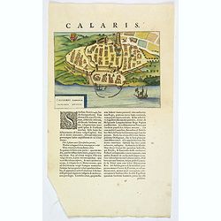
Caliaris Sardiniae. Primaria Civitas.
A delightful small town plan of the Sardinian capital city of Cagliari by Blaeu, published in the mid-seventeenth century. The plan shows inner and outer fortified city w...
Date: Amsterdam, ca 1660
Selling price: ????
Please login to see price!
Sold in 2019
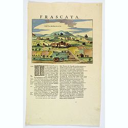
Citta di Frascate.
A delightful small town view of the central Italian city of Frascati by Blaeu, published in the mid-seventeenth century. The view shows a small walled town, with building...
Date: Amsterdam, ca 1660
Selling price: ????
Please login to see price!
Sold in 2021
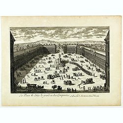
La Place de Loüis le grand ou des conquestes.
View of "La Place de Loüis le grand ou des conquestes" in Paris, published by I. Mariette. Showing the statue of Louis XIV in the center.
Date: Paris, 1660
Selling price: ????
Please login to see price!
Sold
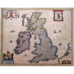
Nieuwe en Perfeckte Caerte van Engelandt Schotlandt en Yerlandt. . .
A fine and decorative map of the British Isles. Embellished with sailing ships, coats of arms, and an inset map of the Orkney Islands.Hugo Allard (1625-1691) was a capabl...
Date: Amsterdam, ca 1660
Selling price: ????
Please login to see price!
Sold in 2019
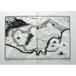
St. Tropez.
An early copper engraved plan of Saint-Tropez. Shows a few buildings, the layout of the streets, the city walls, and the harbour with sailing ships.
Date: Frankfurt, ca 1660
Selling price: ????
Please login to see price!
Sold in 2019
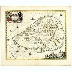
Insula Zeilan olim Taprobana nunc incolis tenarisim.
Janssonius' map of Sri Lanka. Including many VOC settlements and forts, several major town marked with a crown. Very decorative item, with two large title and scale carto...
Date: Amsterdam, 1660
Selling price: ????
Please login to see price!
Sold in 2019
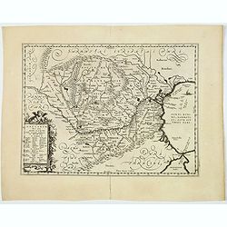
Vetus Descriptio Daciarum Nec non Moesiarum. . .
A decorative map of ancient Dacia and Moesia, namely today's Romania, with Serbia and part of Bulgaria, With a beautiful cartouche. Signed lower part: Petrus Kaerius Cael...
Date: Amsterdam, ca 1660
Selling price: ????
Please login to see price!
Sold in 2020
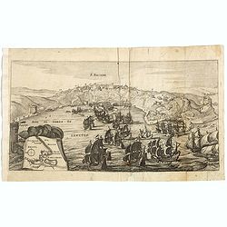
S. SALVADOR.
Charming view of Salvador de Bahia, in Brazil, seen from the ocean. In lower left inset map of Baia de todos os Sanctos.
Date: Frankfurt, 1660
Selling price: ????
Please login to see price!
Sold in 2020
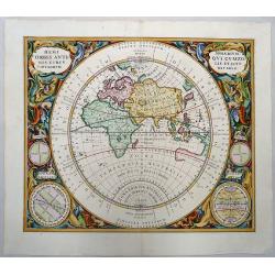
Hemisphaerium Orbis Antiqui Cumzonis Circulis et Situ Populorum Diverso.
A wonderfully colored example of Andreas Cellarius's map of the Eastern Hemisphere, illustrating the climatic zones ranging from Frigida Borealis to Torrida, with planeta...
Date: Amsterdam, 1660
Selling price: ????
Please login to see price!
Sold in 2019
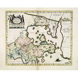
Xantung, sinarum imperii provincia quatra.
A map of the northern province ‘Xantung’ of China after the Jesuit Martino Martini.Shows the Great Wall and is centered on the Bohai Sea, and the Shandong and Liaonin...
Date: Amsterdam, ca 1660
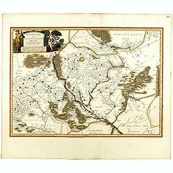
Ukrainae pars quae Kiovia Palatinatus.
This is a scarce Joan Blaeu first edition of the map of the Kiev region of Ukraine and vicinity. Signature of Joan Blaeu in the lower part of the map. This map was origin...
Date: Amsterdam, ca. 1660
Selling price: ????
Please login to see price!
Sold
Rome and soldiers.
Engraving by Pietro (di) Santo Bartoli, showing a frieze with Roman soldiers. After a drawing by Julio Romano. Iacintus Paribenius Pistorien formis Romae.
Date: Rome, c.1660
Selling price: ????
Please login to see price!
Sold
Champaigne et Brie etc.
A good engraved map of Champagne-Ardennes area, embellished with decorative title cartouche and scale cartouche with putti and surveying instruments. Paris, Metz, Reims, ...
Date: Amsterdam, 1660
Selling price: ????
Please login to see price!
Sold in 2011
Accuratissima Brasiliae Tabula..
A decorative map with a title cartouche of two natives: the interior features scenes of native life, among napping in a hammock, warfare, cannibalism and indigenous wild ...
Date: Amsterdam 1660
Selling price: ????
Please login to see price!
Sold
Harlemum vulgo Haerlem. [Haarlem]
Fine plan of Haarlem. Lower left a numbered key (1-67).From JANSSONIUS RARE town book of the Netherlands. Copied after the plan of Blaeu, but much rarer.
Date: Amsterdam 1660
Selling price: ????
Please login to see price!
Sold
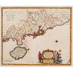
Quantung Imperii Sinarum Provincia duodecima.
A beautifully engraved map of Southern China covering Hainan and the Pearl River Delta with Macao and the islands around present-day Hong Kong.
Date: Amsterdam 1660
Selling price: ????
Please login to see price!
Sold
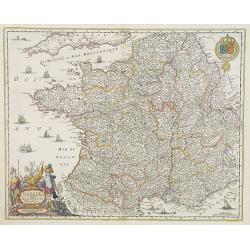
Gallia. Nova et accurata descriptio vulgo Royaume de France.
Fine map of France with in upper right corner the coats of arms of France.
Date: Amsterdam, 1660
Selling price: ????
Please login to see price!
Sold in 2011
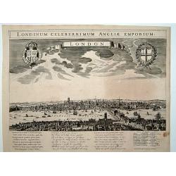
London. Londinum celeberrimum Angliae Emporium.
A rare panoramic view of London with over the whole length of the lower part 3 columns of poems in Latin, Dutch and French and a numbered key 1-43 to the principal buildi...
Date: Amsterdam, 1660
Selling price: ????
Please login to see price!
Sold
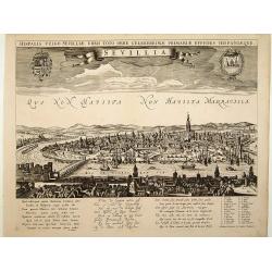
Sevillia.
A rare panoramic view of Seville with over the whole length of the lower part 3 columns of poems in Latin, Dutch and French and a numbered key 1-28 to the principal build...
Date: Amsterdam, 1660
Selling price: ????
Please login to see price!
Sold
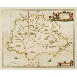
Insula BORNEO et occidentalis pars celibis cum adjacentibus Insulis.
An elegant map of Borneo. The map includes only coastal detail.The beautiful map is richly embellished with two fine cartouches featuring mermaids surrounding the scale o...
Date: Amsterdam 1660
Selling price: ????
Please login to see price!
Sold
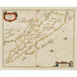
Sumatrae et insularum Locorumque nonnullorum circumiacentium
Fine chart depicting the Island of Sumatra and the southern coasts of Malaysia from Quedo to Johore. North is orientated to the left of the page. Singapore is probably id...
Date: Amsterdam 1660
Selling price: ????
Please login to see price!
Sold
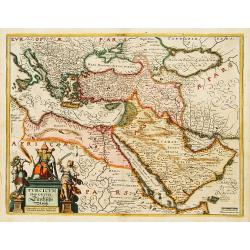
Turcicum Imperium. Türckische Reijch.
A reduced version of Blaeu's map of the Middle East.The map extends from the Mediterranean to Arabia and is notable for the fine title cartouche bottom left surmounted by...
Date: Frankfurt 1660
Selling price: ????
Please login to see price!
Sold
![[Lot of 5 maps of Greece]. Candia olim Creta.](/uploads/cache/IMG_0748-250x250.jpg)
![[Lot of 3 maps] Candia olim Creta.](/uploads/cache/IMG_9432-250x250.jpeg)


![Harlemum vulgo Haerlem. [Haarlem]](/uploads/cache/15745-250x250.jpg)
