Browse Listings in Europe
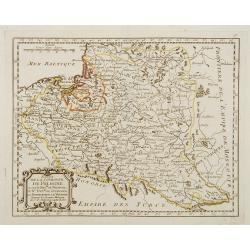
Etats de la Couronne de Pologne ousont les Roy de Pologne, le Gd. Duc de Lithuanie, La Russie noire, La Volhinie?
Rare map of Poland prepared by J.B.Nolin and published by Monhare for his Atlas Général a l'usage des colleges et maisons d'education.. Louis Joseph Mondhare published ...
Date: Paris, 1783
Selling price: ????
Please login to see price!
Sold
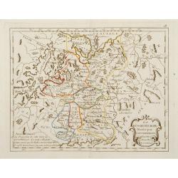
La Russie d'Europe Divisée par Gouvernemens Assujetties aux Nouvelles Observations..
Rare map of the European part of Russia, prepared by J.B.Nolin and published by Monhare for his Atlas Général a l'usage des colleges et maisons d'ed...
Date: Paris, 1783
Selling price: ????
Please login to see price!
Sold in 2009
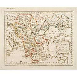
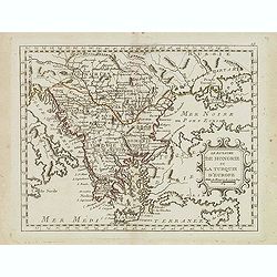
Le Royaume de Hongrie et la Turquie d'Europe ..
Rare map of Greece and Hungary prepared by J.B.Nolin and published by Monhare for his Atlas Général a l'usage des colleges et maisons d'education.. Louis Joseph Mondhar...
Date: Paris, 1783
Selling price: ????
Please login to see price!
Sold
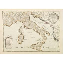
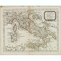
L'Italie Divisée en ses différents Etats Royaume et Républiques..
Rare map of Italy, prepared by J.B.Nolin and published by Monhare for his Atlas Général a l'usage des colleges et maisons d'education.. Louis Joseph Mondhare published ...
Date: Paris, 1783
Selling price: ????
Please login to see price!
Sold
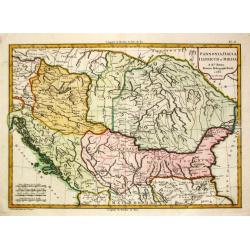
Pannonia, Dacia, Illyricum et Moesia. 1783.
Jean Lattré, Paris-based engraver and publisher. Worked with Robert de Vaugondy, J. Janvier and R. Bonne. " Atlas Monderne', 1771, 1783 , 1793. Rigobert Bonne (1727...
Date: Paris, 1783
Selling price: ????
Please login to see price!
Sold in 2018
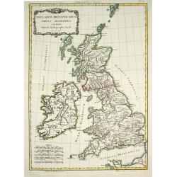
Insularum Britannicarum Tabula Geographica.
Jean Lattré, Paris-based engraver and publisher. Worked with Robert de Vaugondy, J. Janvier and R. Bonne. " Atlas Monderne', 1771, 1783 , 1793. Rigobert Bonne (1727...
Date: Paris, 1783
Selling price: ????
Please login to see price!
Sold in 2011
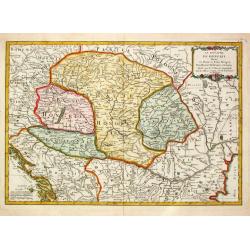
Le Royaume de Hongrie Divisé en Haute et Basse Hongrie Transylvanie Esclavonie et Croatie.
Jean Lattré, Paris-based engraver and publisher. Worked with Robert de Vaugondy, J. Janvier and R. Bonne. " Atlas Monderne', 1771, 1783 , 1793. Jean Janvier, French...
Date: Paris, 1783
Selling price: ????
Please login to see price!
Sold in 2010
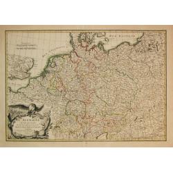
L\' Alemagne Divisée par Cercles.
Jean Lattré, Paris-based engraver and publisher. Worked with Robert de Vaugondy, J. Janvier and R. Bonne. " Atlas Monderne', 1771, 1783 , 1793. Giovanni Antonio Riz...
Date: Paris, 1783
Selling price: ????
Please login to see price!
Sold in 2009
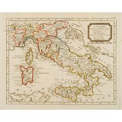
L'Italie.
Un uncommon re-issue by Desnos of this fine map of Italy, including Sardinia and Corsica. Prepared by Sanson and originally published by Jaillot.The map is colored in out...
Date: Paris 1783
Selling price: ????
Please login to see price!
Sold
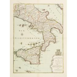
Les Royaumes de Naples et de Sicile.
Un uncommon re-issue by Desnos of this fine map of Italy, including Sardinia and Corsica. Prepared by Sanson and originally published by Jaillot.The map is colored in out...
Date: Paris 1783
Selling price: ????
Please login to see price!
Sold
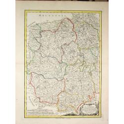
Carte des Gouvernements du Berri, du Nivernois, de la Marche, du Bourbonnois, du Limosin et de l\' Auvergne.
Jean Lattré, Paris-based engraver and publisher. Worked with Robert de Vaugondy, J. Janvier and R. Bonne. " Atlas Monderne', 1771, 1783 , 1793. Rigobert Bonne (1727...
Date: Paris, 1783
Selling price: ????
Please login to see price!
Sold in 2014
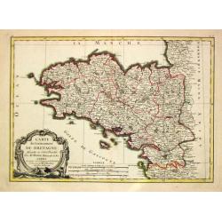
Carte du Gouvernement de Bretagne.
Jean Lattré, Paris-based engraver and publisher. Worked with Robert de Vaugondy, J. Janvier and R. Bonne. " Atlas Monderne', 1771, 1783 , 1793. Rigobert Bonne (1727...
Date: Paris, 1783
Selling price: ????
Please login to see price!
Sold
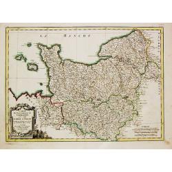
Carte du Gouvernement de Normandie avec celui du Maine et Perche.
Jean Lattré, Paris-based engraver and publisher. Worked with Robert de Vaugondy, J. Janvier and R. Bonne. "Atlas Monderne", 1771, 1783 , 1793. Rigobert Bonne (...
Date: Paris, 1783
Selling price: ????
Please login to see price!
Sold in 2018
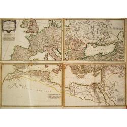
Imperii Romani Pars Occidentalis Superior / Inferior / Pars Orientalis superior / Inferior.
Jean Lattré, Paris-based engraver and publisher. Worked with Robert de Vaugondy, J. Janvier and R. Bonne. " Atlas Monderne', 1771, 1783 , 1793. Rigobert Bonne (1727...
Date: Paris, 1783
Selling price: ????
Please login to see price!
Sold
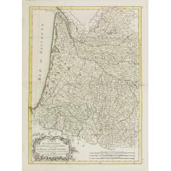
Carte du Gouvernement de Guienne et Gascogne.. Navarre..
Attractive map of the south western part of France delimited by the Garonneoutfall, the town of Toulouse and the Pyrenees.Decorated with a rococo title cartouche. Boundar...
Date: Paris, ca 1783
Selling price: ????
Please login to see price!
Sold
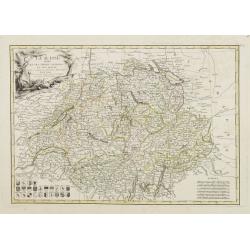
La Suisse divisée En Ses Treize Cantons Et Ses Alliés..
Attractive map of Switzerland, ornated with a rococo title cartouche. 24 coats of arms in the lower left corner. Boundaries outlined in hand color.From theAtlas moderne o...
Date: Paris, ca 1783
Selling price: ????
Please login to see price!
Sold
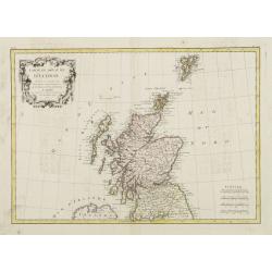
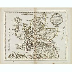
Carte Du Royame D'Ecosse..
Attractive map of Scotland, including the Shetland Islands. Decorated with a rococo title cartouche. Boundaries outlined in hand color.From theAtlas moderne ou collection...
Date: Paris, ca 1783
Selling price: ????
Please login to see price!
Sold
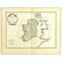
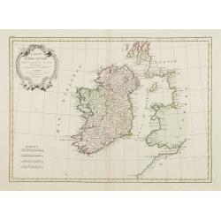
Carte D'Irlande..
Attractive map of Ireland, ornated with a rococo title cartouche. Boundaries outlined in hand color.From theAtlas moderne ou collection de cartes sur toutes les parties d...
Date: Paris, ca 1783
Selling price: ????
Please login to see price!
Sold
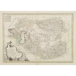
Carte de la Tartarie Indépendante qui comprend le Pays des Calmuks, celui des Usbeks, et le Turkestan..
Attractive map covering the area between the Caspian Sea and China. In lower right part Tibet ou Budian. Ornated with a decorative title cartouche. Boundaries outlined in...
Date: Paris, ca 1783
Selling price: ????
Please login to see price!
Sold in 2008
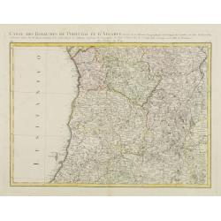
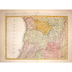
Carte des Royaumes de Portugal et D\'Algarve..
Map of the northern part of Portugal prepared by Giovanni Antonio Bartolomeo Rizzi Zannoni, one of the leading cartographers of the late 18th century, as well as being an...
Date: Paris, ca 1783
Selling price: ????
Please login to see price!
Sold in 2010
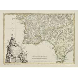
Mapa dos Reynos de Portugal e Algarve. . .
Map of the southern part of Portugal, including part of Spain and Gibraltar. The large decorative title cartouche presents the coat of arms surmounted by a crown, a repre...
Date: Paris, ca 1783
Selling price: ????
Please login to see price!
Sold in 2020
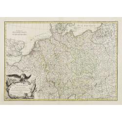
L'Allemagne Divisée par Cercles..
General map of central Europe, centered on Germany but including Poland, Belgium, the Netherlands, Switzerland, Austria and part of eastern Europe.Ornated with a decorati...
Date: Paris, ca 1783
Selling price: ????
Please login to see price!
Sold in 2016
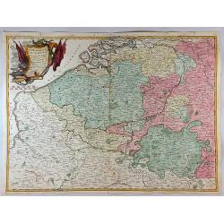
[No title] Map of the Netherlands, Belgium and the north western part of Germany.
Attractive map centered on the Netherlands, encompassing the area between Calais, Gottingen up to Denmark.Ornated with a cartouche containing a dedication to "S.E. M...
Date: Paris, ca 1783
Selling price: ????
Please login to see price!
Sold
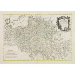
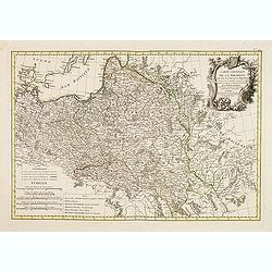
Carte Generale de la Pologne avec tous les Etats qui en dependent..
Attractive map of Poland, ornated with a rococo title cartouche. Boundaries outlined in hand color.Prepared by Giovanni Antonio Bartolomeo Rizzi Zannoni, one of the leadi...
Date: Paris ca 1783
Selling price: ????
Please login to see price!
Sold
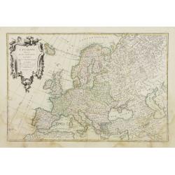
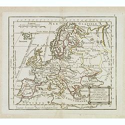
L'Europe divisée en ses principaux Etats..
Attractive map of Europe, ornated with a decorative title cartouche. Boundaries outlined in hand color.Prepared by Le Sieur Janvier, Jean denis [Robert], French geographe...
Date: Paris, ca 1783
Selling price: ????
Please login to see price!
Sold
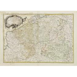
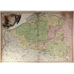
Partie Méridionale des Pays Bas, Comprenant les Provinces de Brabant, Gueldre, Lumbourg, Luxembourg..
Attractive map centered on Belgium, encompassing Luxembourg, part of France and the southern part of the Netherlands.ornated with a decorative title cartouche. Boundaries...
Date: Paris, ca 1783
Selling price: ????
Please login to see price!
Sold in 2008
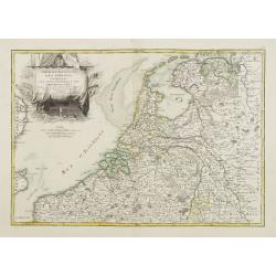
Partie Septentrionale des Pays Bas, Comprenant les Etats Généraux des Provinces Unies..
Very attractive map centered on the Netherlands. The title is included in the stern sail of a large Dutch vessel. Boundaries outlined in hand color.Prepared by Le Sieur J...
Date: Paris, ca 1783
Selling price: ????
Please login to see price!
Sold
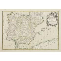
Les Royaumes D'Espagne et de Portugal, divisés Par Grandes Provinces..
Attractive map of the Iberian Peninsula. Boundaries outlined in hand color.Ornated with a decorative title cartouche showing the coats of arms of Spain and Portugal.Prepa...
Date: Paris, ca 1783
Selling price: ????
Please login to see price!
Sold in 2023
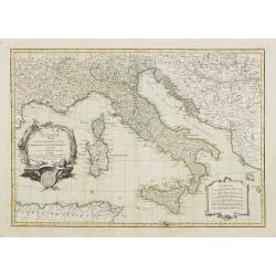
L' Italie divisée en ses differents Etats Royaumes et republiques..
Attractive map of the Italian Peninsula, showing also Corsica and Malta. Boundaries outlined in hand color.Ornated with a decorative title cartouche presenting the symbol...
Date: Paris ca 1783
Selling price: ????
Please login to see price!
Sold
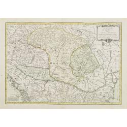
Le Royaume de Hongrie Divisé en Haute et Basse Hongrie..
Attractive map centered on Hungary, ornamented with a decorative title cartouche. Boundaries outlined in hand color.Prepared by Le Sieur Janvier, Jean denis [Robert], Fre...
Date: Paris, ca 1783
Selling price: ????
Please login to see price!
Sold in 2012
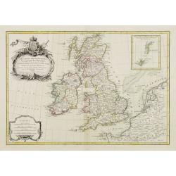
Les isles Britanniques comprenant les Royaumes d\'Angleterre d\'Ecosse et d\'Irlande..
Attractive map of the British Isles, ornated with a decorative title cartouche and a scale cartouche.With inset map including the Orcade and Shetland Islands. Boundaries ...
Date: Paris, ca 1783
Selling price: ????
Please login to see price!
Sold in 2008
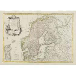
Les Couronnes du Nord comprenant les Royaumes de Suede Danemarck et Norwege..
Attractive map of Scandinavia, ornated with a decorative title cartouche. Boundaries outlined in hand color.Prepared by Le Sieur Janvier, Jean denis [Robert], French geog...
Date: Paris, ca 1783
Selling price: ????
Please login to see price!
Sold
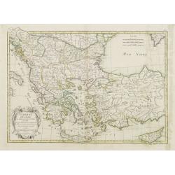
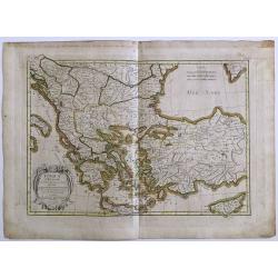
Turquie d'Europe et partie de celle d'Asie..
Attractive map centered on the Aegean Sea, encompassing the whole Balkan Peninsula and part of Turkey.It includes also Crete and Cyprus. Decorated with a decorative title...
Date: Paris, ca 1783
Selling price: ????
Please login to see price!
Sold in 2011
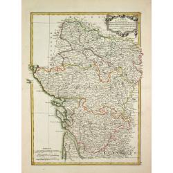
Carte des Gouvernements de d' Anjou, et du Saumurois, de la Touraine, du Poitot, du Pays d' Aunis, Saintonge-Angoumois.
Jean Lattré, Paris-based engraver and publisher. Worked with Robert de Vaugondy, J. Janvier and R. Bonne. " Atlas Monderne', 1771, 1783 , 1793. Rigobert Bonne (1727...
Date: Paris, 1783
Selling price: ????
Please login to see price!
Sold in 2009
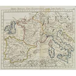
Orbis Romani Pars Occidentalis. . .
Map of the ancient Roman Empire, prepared by J.B.Nolin and published by Monhare for his Atlas Général a l\'usage des colleges et maisons d\'education.. Louis Joseph Mon...
Date: Paris, 1783
Selling price: ????
Please login to see price!
Sold in 2009
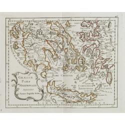
Graeciae Pars Meridionalis. . .
Rare map of Greece prepared by J.B.Nolin and published by Monhare for his Atlas Général a l'usage des colleges et maisons d'education.. Louis Joseph Mondhare was active...
Date: Paris, 1783
Selling price: ????
Please login to see price!
Sold in 2008
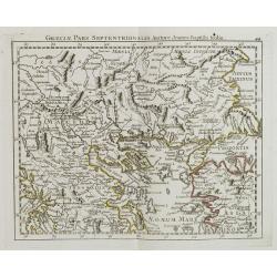
Graeciae Pars Septentrionalis?
Rare map of northern part of Greece, prepared by J.B.Nolin and published by Monhare for his Atlas Général a l'usage des colleges et maisons d'education.. Louis Joseph M...
Date: Paris, 1783
Selling price: ????
Please login to see price!
Sold in 2008
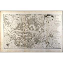
St. Petersbourg
Large city plan of St. Petersburg in Russia. From the Atlas Volume of \"Histoire physique, morale, civile et politique de la Russie Ancienne\" by N. G. Le Clerc...
Date: Paris, 1783
Selling price: ????
Please login to see price!
Sold in 2008
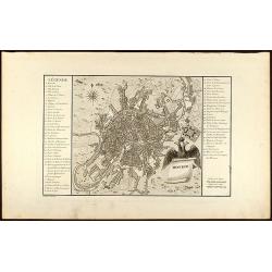
Moskou
Engraved map of Moscow with legend on left and right side. From the Atlas Volume of "Histoire physique, morale, civile et politique de la Russie Ancienne" by N....
Date: Paris, 1783
Selling price: ????
Please login to see price!
Sold in 2008
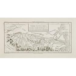
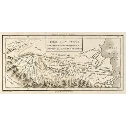
Tereki Fluvii Cursus, Kabarda major minor-que, et caucaso adjacentes regiones.
Map of Kabarda and the adjacent regions. The Kabardino-Balkaria Republic is located in the far southwestern Russian Federation, on the border with Georgia. To the right t...
Date: Paris, ca. 1783
Selling price: ????
Please login to see price!
Sold in 2009
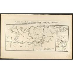
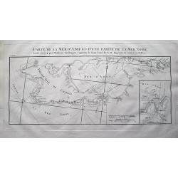
Carte de la Mer d\'Azof et d\'une Partie de la Mer Noire
Engraved map of the Crimean Peninsula with the Black Sea and the Sea of Azov in Russia. From the Atlas Volume of \"Histoire physique, morale, civile et politique de ...
Date: Paris, 1783
Selling price: ????
Please login to see price!
Sold in 2009
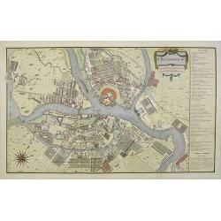
St. Petersbourg.
Large town-plan of St. Petersburg. From the Atlas Volume of "Histoire physique, morale, civile et politique de la Russie Ancienne" by N. G. Le Clerc. The plan i...
Date: Paris, 1783
Selling price: ????
Please login to see price!
Sold in 2009
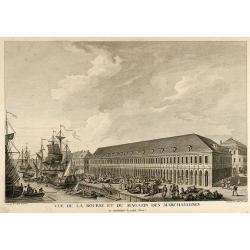
Vue de la Bourse et du Magazin des Marchandises en remontant la petite Neva
Beautiful view of the stock exchange and warehouse of St. Petersburg in Russia. From the Atlas Volume of "Histoire physique, morale, civile et politique de la Ru...
Date: Paris, 1783
Selling price: ????
Please login to see price!
Sold in 2009
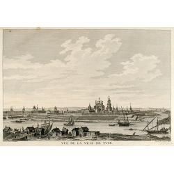
Vue de la Ville de Tver
Beautiful view of the city Twer between Moscow and St. Petersburg in Russia. From the Atlas Volume of "Histoire physique, morale, civile et politique de la Russi...
Date: Paris, 1783
Selling price: ????
Please login to see price!
Sold in 2009
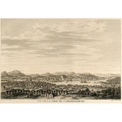
Vue de la Ville de Catherinebourg
Beautiful view of the city Yekaterinburg / Sverdlovsk in Russia. From the Atlas Volume of "Histoire physique, morale, civile et politique de la Russie Ancienne&a...
Date: Paris, 1783
Selling price: ????
Please login to see price!
Sold in 2009
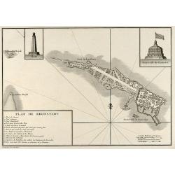
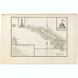
Plan de Kronstadt
Engraved map of Kronstadt / Kronshtadt on the Kotlin Island west of St. Petersburg in Russia. From the Atlas Volume of "Histoire physique, morale, civile et politiqu...
Date: Paris, 1783
Selling price: ????
Please login to see price!
Sold in 2009
Tereki Fluvii Cursus, Kabarda major minor-que et Caucaso adjacentes Regiones
Engraved map of the Terek River with parts of the Caspian Sea in Russia. From the Atlas Volume of "Histoire physique, morale, civile et politique de la Russie Ancien...
Date: Paris, 1783
Selling price: ????
Please login to see price!
Sold in 2009
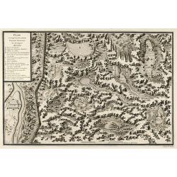
Plan et coupe horisontale du labyrinte souterrain de Koungour Renvoi
Engraved map of the Urals mit the town Kungur in Russia. From the Atlas Volume of "Histoire physique, morale, civile et politique de la Russie Ancienne" by N. G...
Date: Paris, 1783
Selling price: ????
Please login to see price!
Sold in 2009
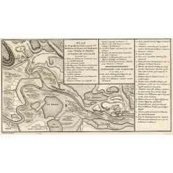
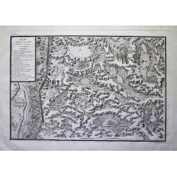
Plan des Expéditions faites par le Gal. Weissman de l\'autre côté du Danube contre Tultschi & Isaktschi. Attaque de Tultschi le 4 Avril 1771
Engraved map of the Danube River between Isaccea, Tulcea in Romania and Izmail in Moldavia. With detail of the expeditions of General Weissman in 1771. From the Atlas Vol...
Date: Paris, 1783
Selling price: ????
Please login to see price!
Sold in 2010
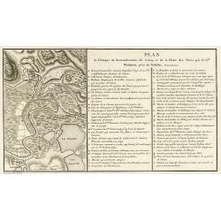
Plan de l\'Attaque du Retranchement, du Camp, et de la Flotte des Turcs par le Gal. Weisman, près de Tultschi, le 30 Juin 1771
Engraved map of the Danube River between Tulcea in Romania and Izmail in Moldavia. With detail of the expeditions of General Weissman in 1771. From the Atlas Volume of &q...
Date: Paris, 1783
Selling price: ????
Please login to see price!
Sold in 2010
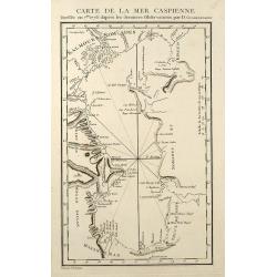
Carte de la Mer Caspienne
Engraved map of the Caspian Sea. From the Atlas Volume of "Histoire physique, morale, civile et politique de la Russie Ancienne" by N. G. Le Clerc. Engraved by ...
Date: Paris, 1783
Selling price: ????
Please login to see price!
Sold in 2009
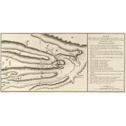
Plan de la Bataille & de la Victoire remportée par les Russes sur les Turcs commandés par le Grand Visir près de la riviere Kagul en Bessarabie. le 21 Julliet, 1770
Engraved map of the Battle of Cahul in today Moldavia during the Russo-Turkish War 1768-1774 on 21 July 1770. From the rare Atlas Volume of "Histoire physique, moral...
Date: Paris, 1783
Selling price: ????
Please login to see price!
Sold in 2009
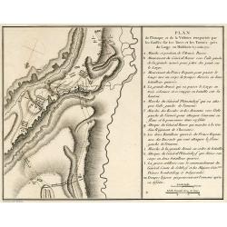
Plan de l'Attaque & de la Victoire remportée par les Russes sur les Turcs et les Tartars près du Large en Moldavie le 7 Julliet, 1770
Engraved map of the Battle of at the Large in today Moldavia during the Russo-Turkish War 1768-1774 on 7 July 1770. From the rare Atlas Volume of "Histoire physique,...
Date: Paris, 1783
Selling price: ????
Please login to see price!
Sold in 2009
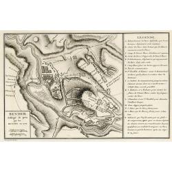
Bender Assiégé & pris par les Russes en 1770
Engraved map of the Battle of Bender in today Moldavia during the Russo-Turkish War 1768-1774 in 1770. From the rare Atlas Volume of "Histoire physique, morale, civi...
Date: Paris, 1783
Selling price: ????
Please login to see price!
Sold in 2009
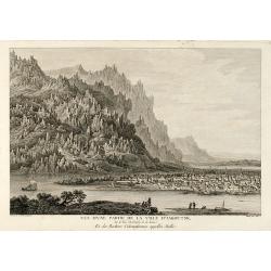
Vue d'une Partie de la Ville d'Iakoutsk Sur le Rive Occidentale de la Léna, et des Rochers Colonniformes appellés Stolbi
Beautiful view of the city Yakutsk at the Lena River in Siberia. From the Atlas Volume of "Histoire physique, morale, civile et politique de la Russie Ancienne&a...
Date: Paris, 1783
Selling price: ????
Please login to see price!
Sold in 2009
Kiakta
Beautiful view of the city Kyakhta at the Kyakhta River in Russia close to the Mongolian border. From the Atlas Volume of "Histoire physique, morale, civile et polit...
Date: Paris, 1783
Selling price: ????
Please login to see price!
Sold in 2009
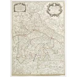
Le cercle de Baviere. . .
Fine map of Bavaria with a decorative title and scale cartouche. Including the towns of Regensburg, Passau, etc.Alexis-Hubert Jaillot (1632-1712), was a French cartograph...
Date: Paris, 1783
Selling price: ????
Please login to see price!
Sold in 2012
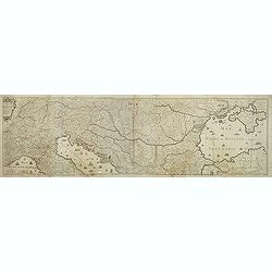
Le cours du Danube dédié au roy. . .
A later edition of this beautiful and detailed map of the river Danube, originally published by Du Val in 1703. Here with the date "1783" and the address change...
Date: Paris, 1783
Selling price: ????
Please login to see price!
Sold in 2011
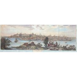
Cazan 1767
A marvellous, spectacular and large panoramic view of Kasan across the river Volga.
Date: Paris, 1783
Selling price: ????
Please login to see price!
Sold in 2013
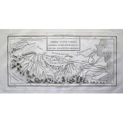
Tereki Fluvii Cursus, Kabarda major minor-que et Caucaso adjacentes Regiones
Detailed map of the Terek River in present day Georgia and Russia, and parts of the Caspian Sea. Names many rivers and places. With impressive representation of the Cauca...
Date: Paris, 1783
Selling price: ????
Please login to see price!
Sold in 2012
Plan et coupe horisontale du labyrinte souterrain de Koungour Renvoi
Very interesting map of parts of the Ural mountains near Kungur city and the Sylwa River. Shows the "underground labyrinth", with the legend explaining sand hil...
Date: Paris, 1783
Selling price: ????
Please login to see price!
Sold in 2012
Carte de la Mer d'Azof et d'une Partie de la Mer Noire Levée en 1774 par Monsieur Kinsbergen...
Very detailed map of the Crimea peninsula, the Sea of Azov, and the Black Sea. Shows many place names, and depth soundings. With inset map "Plan du Détroit de Zabac...
Date: Paris, 1783
Selling price: ????
Please login to see price!
Sold in 2012
L'Europe Divisée Suivant ses principaux Etats . . .
Scarce map of Europe prepared by de La Fosse and published by L.J. Mondhare for his Atlas Général a l'usage des colleges et maisons d'education.. Louis Joseph Mondhare ...
Date: Paris, 1783
Selling price: ????
Please login to see price!
Sold in 2019
Royaume d'Ecosse. . .
Scarce map of Scotland prepared by Nolin and published by L.J. Mondhare for his Atlas Général a l'usage des colleges et maisons d'education.. Louis Joseph Mondhare was ...
Date: Paris, 1783
Selling price: ????
Please login to see price!
Sold in 2013
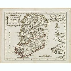
Isle et Royaume d'Irlande. . .
Scarce map of Ireland prepared by Nolin and published by L.J. Mondhare for his Atlas Général a l'usage des colleges et maisons d'education.. Louis Joseph Mondhare was a...
Date: Paris, 1783
Selling price: ????
Please login to see price!
Sold in 2016
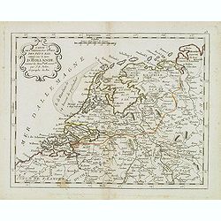
Carte des provinces Unies des Pays Bas connue sous le nom d'Hollande. . .
Scarce map of The Netherlands prepared by Nolin and published by L.J. Mondhare for his Atlas Général a l'usage des colleges et maisons d'education.. Louis Joseph Mondha...
Date: Paris, 1783
Selling price: ????
Please login to see price!
Sold in 2014
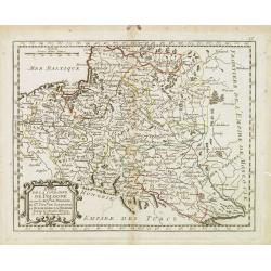
Etats de la couronne de Pologne . . .
Scarce map of Poland prepared by Nolin and published by L.J. Mondhare for his Atlas Général a l'usage des colleges et maisons d'education.. Louis Joseph Mondhare was ac...
Date: Paris, 1783
Selling price: ????
Please login to see price!
Sold in 2013
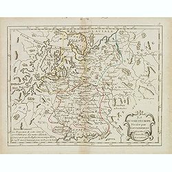
La Russie d' Europe divisée par gouvernemens . . .
Scarce map of Russia prepared by Nolin and published by L.J. Mondhare for his Atlas Général a l'usage des colleges et maisons d'education.. Louis Joseph Mondhare was ac...
Date: Paris, 1783
Selling price: ????
Please login to see price!
Sold in 2014
Le Royaume de Hongrie et la Turquie d'Europe. . .
Scarce map of Greece, Romania, Bulgaria and Hungary prepared by Nolin and published by L.J. Mondhare for his Atlas Général a l'usage des colleges et maisons d'education...
Date: Paris, 1783
Selling price: ????
Please login to see price!
Sold in 2017
L'Italie divisée en ses différents Etats Royaumes et Republiques. . .
Scarce map of Italy prepared by Nolin and published by L.J. Mondhare for his Atlas Général a l'usage des colleges et maisons d'education.. Louis Joseph Mondhare was act...
Date: Paris, 1783
Selling price: ????
Please login to see price!
Sold in 2023
Carte des Royaumes de Portugal et D'Algarue.
Detailed engraved map of the northern part of Portugal including cities, towns, rivers, lakes, forests and mountains. Giovanni Antonio Bartolomeo Rizzi Zannoni (1736 - 1...
Date: Paris, 1783
Selling price: ????
Please login to see price!
Sold in 2015
Carte Generale de la Pologne avec tous les Etats qui en dependent..
Attractive map of Poland, ornated with a rococo title cartouche. Boundaries outlined in hand color.Prepared by Giovanni Antonio Bartolomeo Rizzi Zannoni, one of the leadi...
Date: Paris ca 1783
Selling price: ????
Please login to see price!
Sold in 2014
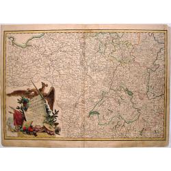
Carte de L'Empire D'Alemagne Avec Les Etats de Boheme Dressee.
Striking map featuring south western Germany, Luxemburg and part of Austria. Lovely cartouche with double headed crowned eagle with sword, musical instruments, canon &am...
Date: Paris, c1783
Selling price: ????
Please login to see price!
Sold in 2019
Plan de Kronstadt.
Map of the Island, Harbors and Fortifications of Kronstadt off St. Petersburg. From the Atlas Volume of "Histoire physique, morale, civile et politique de la Russie ...
Date: Paris, 1783
Selling price: ????
Please login to see price!
Sold in 2018
Partie Meridionale Des Pays Bas.
A pleasing example of Jean Janvier's 1783 decorative map of the southern portions of the Pays Bas, or Belgium and Luxembourg. It covers modern day Belgium and Luxembourg,...
Date: Paris, 1783
Selling price: ????
Please login to see price!
Sold in 2018
Turquie d' Europe
This finely engraved map is roughly centered on Greece, including the islands of Crete and Cyprus. The map covers the region from Bosnia and Serbia to the Black Sea and C...
Date: Paris, 1783
Selling price: ????
Please login to see price!
Sold in 2016
Partie Meridionale des Pays Bas Qui Comprend les Provinces de Brabant, Gueldre, Limbourg, Luxembourg, Hanaut, Namur, Flandre, cambresis et Artoir...
A striking example of Janvier's decorative map of the southern portions of the Pays Bas, or Belgium and Luxembourg. It covers modern day Belgium and Luxembourg, with adja...
Date: Paris, 1783
Selling price: ????
Please login to see price!
Sold in 2017
[Two maps] L'Italie divisée en ses différents etats, royaumes et républiques . . .
Attractive map of Italy, ornated with a decorative title cartouche. Boundaries outlined in hand color.Prepared by Le Sieur Janvier, Jean Denis [Robert], French geographer...
Date: Paris, ca 1783
Selling price: ????
Please login to see price!
Sold in 2018
[Two maps] Partie méridionale des Pays-Bas . . .
Attractive map of the Netherlands, ornated with a decorative title cartouche. Boundaries outlined in hand color.Prepared by Le Sieur Janvier, Jean Denis [Robert], French ...
Date: Paris, ca 1783
Selling price: ????
Please login to see price!
Sold in 2019
Carte d'Irlande Projettée et assujettie aux Observations Astronomiques. . .
Attractive map of Ireland, ornated with a decorative title cartouche. Boundaries outlined in hand color.Prepared by Le Sieur Janvier, Jean Denis [Robert], French geograph...
Date: Paris, ca 1783
Selling price: ????
Please login to see price!
Sold in 2019
![[No title] Map of the Netherlands, Belgium and the north western part of Germany.](/uploads/cache/24262-250x250.jpg)
![[Two maps] L'Italie divisée en ses différents etats, royaumes et républiques . . .](/uploads/cache/42816-250x250.jpg)
![[Two maps] Partie méridionale des Pays-Bas . . .](/uploads/cache/42817-250x250.jpg)
