Browse Listings in Europe
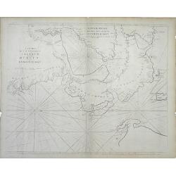
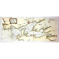
A Draught of the Road and Harbour of Brest with the Adjacent Coast
An interesting copper engraving map of France with rhumb lines and fleur-de-lys. Map extends from Le Counquet to Le Faou, detailing the coastline, anchorages and sounding...
Date: Paris, 1759
Selling price: ????
Please login to see price!
Sold in 2016
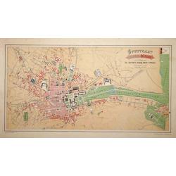
Stuttgart 1846 u. 1871.
A very detailed plan of Stuttgart. Showing the situation of 1846 and the expansion of 1871. Lithographed by H.A.Schurath and printed by "Dampfsnellpressendruck v.A G...
Date: Augsburg 1760
Selling price: ????
Please login to see price!
Sold
Two maps and a print of Switzerland. [3 items].
Uncommon map 38x61cm) centered on Lake Lucerne, with the Alps in the back ground. Engraved by Charles Nicolas Dauphin de Beauvais (1730-1785)WITH: a map "Carte g&...
Date: Frankfurt 1623-78/ Paris 1760
Selling price: ????
Please login to see price!
Sold
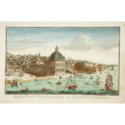
A view of the Palace of the King of Portugal at LISBONE.
One of the lesser-known publishers of optical prints, established in Paris.In the eighteenth and nineteenth centuries there were many popular speciality establishments in...
Date: Paris, ca. 1760
Selling price: ????
Please login to see price!
Sold in 2017
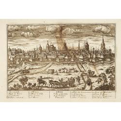
Lille.
"A very RARE panoramic view of the city of Lille, including a numbered legend in both lower corners. The plate is numbered in black pencil in upper right corner. Pub...
Date: Paris, 1760
Selling price: ????
Please login to see price!
Sold
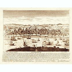
Bourdeaux.
"A very RARE panoramic view of the city of Bordeaux, including a numbered legend in both lower corners. The plate is numbered in black pencil in upper right corner. ...
Date: Paris, 1760
Selling price: ????
Please login to see price!
Sold
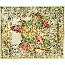
Le Royaume de France et les conquetes de Louis le Grand.
Engraved by J.Christofle Steinberger. RARE and very decorative map of France surrounded with 20 insets of town plans : [1.] Philisbourg: [2.] Mons: [3.] Longwy: [4.] Homb...
Date: Augsburg 1760
Selling price: ????
Please login to see price!
Sold
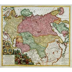
Imperium Russiae Magnae..
With decorative title cartouche in lower left corner. Including the Asian part of Russia, China, Taiwan and part of Japan.
Date: Augsburg 1760
Selling price: ????
Please login to see price!
Sold
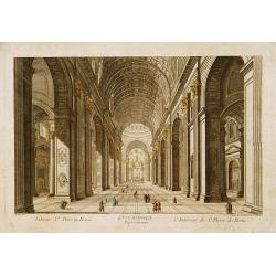
4e Vue d'Optique../..St Pierre de Rome.
So-called optical print of the interior of the Basilica Saint-Pierre de Rome.Daumont was a well-known publisher of optical prints, established in Paris. In the eighteenth...
Date: Paris, 1760
Selling price: ????
Please login to see price!
Sold in 2019
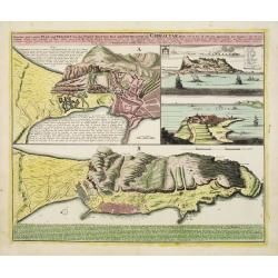
Neuester und exacter Plan .. von Gibraltar..
Scarce decorative plan of Gibraltar with fine views of the mount and Cidix. With a numbered key to the principal places in town.
Date: Nuremberg 1760
Selling price: ????
Please login to see price!
Sold
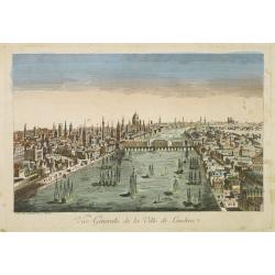
Vue générale de la ville de Londrea.
So-called optical print of London. The view is taken from a bridge on the Thames River and depicts several ships in the river and a great skyline.Daumont was a well-known...
Date: Paris 1760
Selling price: ????
Please login to see price!
Sold
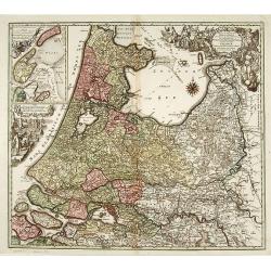
Tabula comitatus Hollandiae. . .
Fine map of the provinces of North and South Holland. In upper left hand corner an inset with the islands of Texel and Vlieland.
Date: Augsburg 1760
Selling price: ????
Please login to see price!
Sold in 2024
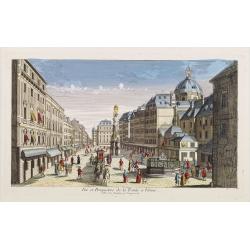
Vue et Perspective de la Trinité a Vienne.
Decorative perspective view of a square in Vienna centered on the column which represents the Trinity. Published by Charpentier, who was active in rue St.Jacques in Paris...
Date: Paris, 1760
Selling price: ????
Please login to see price!
Sold in 2022
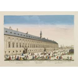
65e. Vüe d'Optique Représentant Le Palais de Cesar dans le Faubourg a Vienne appellé Favorita.
So-called optical print of a palace in Vienna, by Daumont who was a well-known publisher of optical prints, established in Paris.In the eighteenth and nineteenth centurie...
Date: Paris 1760
Selling price: ????
Please login to see price!
Sold in 2016
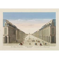
14e. Vüe d'Optique Representant La Grande Place de Petersbourg.
So-called optical print illustrating a perspective view of the portico of a Palace in Saint Petersburg. Published by Daumont, a well-known publisher of optical prints, es...
Date: Paris, 1760
Selling price: ????
Please login to see price!
Sold in 2017
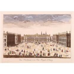
Vüe Méridionale de la Place Royale de Nancy.
So-called optical print illustrating the southern side of the Royal Square in Nancy. Published by Daumont, active at rue St.Martin, who was a well-known publisher of opti...
Date: Paris 1760
Selling price: ????
Please login to see price!
Sold in 2011
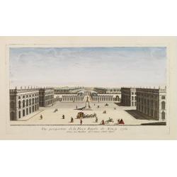
Vue perspective de la Place Royale de Nancy 1760.
So-called optical print illustrating a perspective view of the Royal Square in Nancy.Mondhare, active at rue St.Jacques a l'Hotel Saumur, was a well-known publisher of op...
Date: Paris, 1760
Selling price: ????
Please login to see price!
Sold in 2011
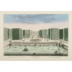
54e Vue d'Optique Representant Les Cascades de Versailles.
So-called optical print, illustrating a water basin with fountains in the gardens of Versailles.In the eighteenth and nineteenth centuries there were many popular special...
Date: Paris 1760
Selling price: ????
Please login to see price!
Sold in 2015
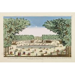
Vue du grand Bassin au bas des Tuilleries d'où l'on decouvre la place de Louis XV. Les Champs Elisée tel que cela doit être executé
So-called optical print illustrating a perspective view of the big basin in the Tuileries gardens, in Paris.Mondhare was a well-known publisher of optical prints, establi...
Date: Paris 1760
Selling price: ????
Please login to see price!
Sold
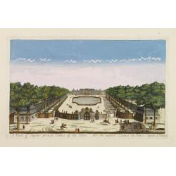
A view of Eugen princip Palace of Vien. / Vuë du Superbe Palais du Prince Eugene a Vienne.
Optical view of a square in Vienna, by Daumont who was a well-known publisher of optical prints, established in Paris.In the eighteenth and nineteenth centuries there wer...
Date: Paris 1760
Selling price: ????
Please login to see price!
Sold in 2016
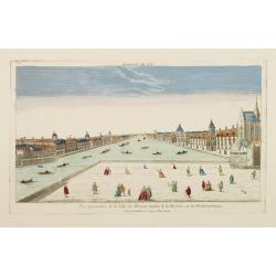
Vue perspective de la Ville de Warsovie Capitale de la Marsovie sur la Wistule en Pologne.
So-called optical print illustrating a perspective view of Warsaw, namely the buildings overlooking the river Wisla.Mondhare was a well-known publisher of optical prints,...
Date: Paris 1760
Selling price: ????
Please login to see price!
Sold
Vue du Chateau de Maisons du Côté de l'Avenue..
Uncommon, so-called optical print illustrating a perspective view of a castle, probably Fontainebleau.In the eighteenth and nineteenth centuries there were many popular s...
Date: Paris, 1760
Selling price: ????
Please login to see price!
Sold in 2009
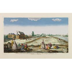
A view of the Road and Water-Works of Chelsea, with a Prospect of London.
So-called optical print illustrating the Somerset House with St. Mary's Church in the Strand London as indicated in the title. Shows figures walking and seated on the gro...
Date: Paris 1760
Selling price: ????
Please login to see price!
Sold
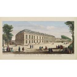
Vüe de la Maison Royalle de choisy du Côté du Jardin
So-called optical print illustrating a perspective view of a royal mansion in Choisy, near Paris.In the eighteenth and nineteenth centuries there were many popular specia...
Date: Paris, 1760
Selling price: ????
Please login to see price!
Sold in 2010
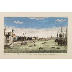
A View of the Tower taken upon the Thames. / La Rade de Londres.
So-called optical print illustrating a perspective view of the Tower as well as part of the Docks of London.In the eighteenth and nineteenth centuries there were many pop...
Date: London, c.1760
Selling price: ????
Please login to see price!
Sold
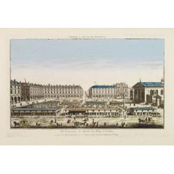
Vüe Perspective du Marché aux Fleures a Londres. (Covent Garden)
So-called optical print illustrating a perspective view of the flower market in London, now-a-days Covent Garden.In the eighteenth and nineteenth centuries there were man...
Date: Paris 1760
Selling price: ????
Please login to see price!
Sold
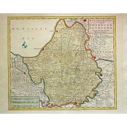
Nieuwe Kaart van't Kwartier de Veluwe. 1741.
Izaak Tirion (d. 1769) Amsterdam publisher. Published the Nieuwe en Beknopte handatlas', and ' Tegenwoordige staat van alle volkeren', a series of descriptions of countri...
Date: Amsterdam, c. 1760
Selling price: ????
Please login to see price!
Sold
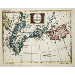
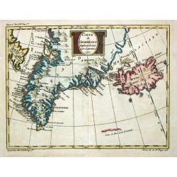
Carte de Groenland, 1770.
A map of Greenland and Iceland.
Date: Paris, c. 1760
Selling price: ????
Please login to see price!
Sold
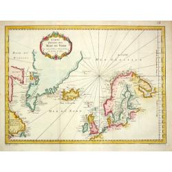
Carte Réduite des Mers du Nord. 1758.
Jaques Nicolas Bellin (1702-720) was the most important French hydrographer of the 18th century. Sea-atlas 'Hydrographique Français' , 1756-65, atlas to accompany Prévo...
Date: Paris, 1760
Selling price: ????
Please login to see price!
Sold
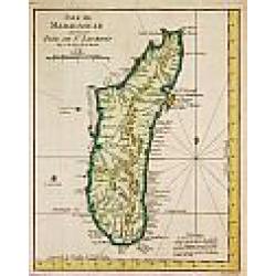
Isle de Madagascar autrement Isle de St. Laurent, 1747.
Jaques Nicolas Bellin (1702-720) was the most important French hydrographer of the 18th century. Sea-atlas 'Hydrographique Français' , 1756-65, atlas to accompany Prévo...
Date: Amsterdam, c. 1760
Selling price: ????
Please login to see price!
Sold
Plan de Prag. [Manuscript plan of Prague - Praha]
Very nice manuscript plan of Prague and the castle. Not dated or signed. In upper left a numbered key 1-36 referring to the ramparts of the town and a scale (of 1:700 aul...
Date: [France] ca. 1760
Selling price: ????
Please login to see price!
Sold
Carte de Groenland, 1770.
A map of Greenland and Iceland.
Date: Paris, c. 1760
Selling price: ????
Please login to see price!
Sold in 2018
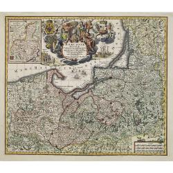
Borussiae Regnum..
With decorative title cartouche in upper part and an inset (155x115mm.) of Neufchatel.Expertly repaired map, with great presentation value.
Date: Augsburg, 1760
Selling price: ????
Please login to see price!
Sold in 2011
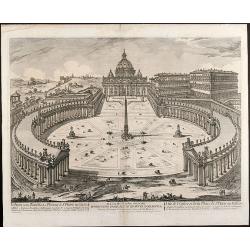
Veduta della Basilica e Piazza di S. Pietro in Vaticano
Etching of St. Peter's Basilica and Plazza in Vatican / Rome by Jean Barbault. It shows a authentic view of the Basilica in the middle of 18th century.
Date: Rome, 1760
Selling price: ????
Please login to see price!
Sold in 2009
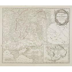
Partie Méridionale de la Russie Européenne. . .
Detailed map of Ukraine and Crimea. In the lower right corner inset map of Cosaques. A later edition, in which part of the address in the title cartouche was removed, and...
Date: Paris, ca 1760
Selling price: ????
Please login to see price!
Sold in 2008
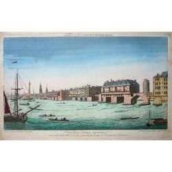
Premiere nouvelle vue d\'optique représentant une partie de la ville de Londres prise du faubourg de Saint Octave sur la Tamise
So-called optical print showing a fine view of a bridge over the river Thames in London, with houses built on it. Several ships on the river, large and small, complete th...
Date: Paris, ca. 1760
Selling price: ????
Please login to see price!
Sold in 2009
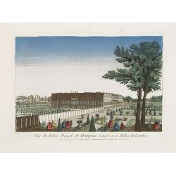
Vue du Palais Royal de Hampton Court a 15 Mille de Londres.
So called optical print of the Hampton Court Royal Palace Royal Gardens near London. Published by the brothers Chéreau, active in Paris at rue St. Jacques au dessus de l...
Date: Paris, 1760
Selling price: ????
Please login to see price!
Sold in 2019
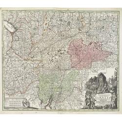
Principali Dignitate Gaudens Comitat. Tirolis Episcopat. Tridentinum et Brixiensem ut et Comitat. Brigantinum Feldkirch Sonneberg et Pludentinum contingens quo ad omnes Urbes. . .
The mountainous borders of Italy, Switzerland & Austria, with an allegorical title cartouche lower right. Centered on the course of the Inn River and including Lake G...
Date: Nuremberg, ca. 1760
Selling price: ????
Please login to see price!
Sold in 2020
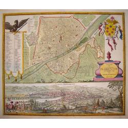
Ichonographia urbis...Florentina
A beautifully engraved, decorative plan of Florence with exceptional detail. A large coat-of-arms graces the top right hand corner of the plate. In the left section is a ...
Date: Nuremberg, (dated 1731) 1760
Selling price: ????
Please login to see price!
Sold in 2009
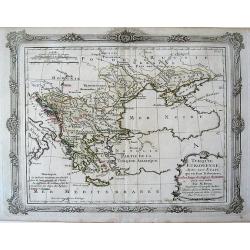
Turquie Europeenne, Avec Les Etats qui en font Tributaires? Map of Eastern Europe (including Turkey, Greece, Black Sea)
Map of Eastern Europe (including Turkey, Greece, Black Sea).
Date: 1760
Selling price: ????
Please login to see price!
Sold in 2010
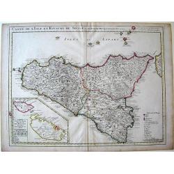
Carte de L\'Isle et Royaume de Sicile.
Map of Sicily.
Date: Amsterdam, 1760
Selling price: ????
Please login to see price!
Sold in 2010
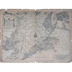
A Correct Chart of the Sea Coasts of England, Flanders and Holland showing the Sands, Shoals, Rocks and Dangers, The Bays and Harbours, Roads, Buoys, Beasons and Seamarks on the said Coasts.
A fine nautical chart of the coasts of Belgium, Holland, and Southern England by Mount and Page. The Mount and Page publishers firm of London was founded in 1701 by Richa...
Date: London, c.1760
Selling price: ????
Please login to see price!
Sold in 2010
A Chart of the Bay of Galloway and River Shannon. . .
A fine nautical chart of the coastline along the Galway Bay of western Ireland by Mount and Page. The Mount and Page publishers firm of London was founded in 1701 by Rich...
Date: London, c.1760
Selling price: ????
Please login to see price!
Sold in 2010
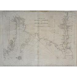
A Chart of the Seacoasts of Ireland from Dublin to London-Derry. . .
A fine nautical chart of the coastline along the northeast coast of Ireland, showing city of Dublin, by Mount and Page. The Mount and Page publishers firm of London was f...
Date: London, c.1760
Selling price: ????
Please login to see price!
Sold in 2010
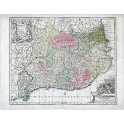
Cataloniae Principatus et Ruscinonis ae Cerretaniae Comitatuum exactissima Delineatio, Cura et Studio. . .
Beautifully colored map of the Catalonia region of northeastern Spain by Tobias Conrad Lotter. The cities of Barcelona, Tortosa, Tarragona are depicted along the Mediterr...
Date: Augsburg, c.1760
Selling price: ????
Please login to see price!
Sold in 2010
Novissima Regnorum Portugalliae et Algarbiae descriptio.
Map of Portugal. Fine title and scale cartouche. With privilege of the State of Holland. The edition published by Covens and Mortier. Now with their address added.The Ams...
Date: Amsterdam, ca. 1760
Selling price: ????
Please login to see price!
Sold in 2010
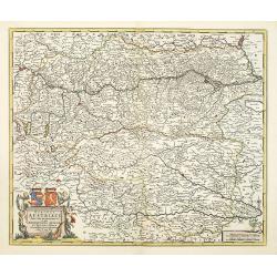
Circuli Austriaci pars Septentrionalis in qua Archiducatus. . .
Decorative and detailed map of Austria, here in a second state with the address of Jean Covens and Cornelis Mortier.The Amsterdam publishing firm of Covens and Mortier (1...
Date: Amsterdam, c. 1760
Selling price: ????
Please login to see price!
Sold in 2011
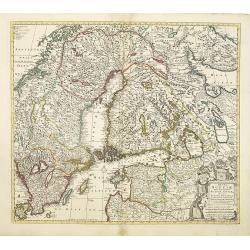
Regni Sueciae.
Attractive and detailed map of Scandinavia, including part of Russia, here in a second state with the address of Jean Covens and Cornelis Mortier.The Amsterdam publishing...
Date: Amsterdam, 1760
Selling price: ????
Please login to see price!
Sold in 2011
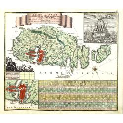
Melite vulgo Malta cum vicinis Goza..
Highly decorative map of Malta and the island of Gozo with figurative cartouche, title banner, inset view of a Maltese ship seen from the stern, inset plan of the city an...
Date: Augsbourg, 1760
Selling price: ????
Please login to see price!
Sold in 2010
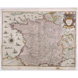
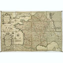
La France. Dressée suivant les nouvelles observation de Mrs De l'Academie Royale des Sciences Par Charles Inselin geografe et graveur.
A large and detailed map of France, decorated with a large title cartouche, and two others around engraved text descriptions of France and its provinces. Originally issue...
Date: Paris, 1760
Selling price: ????
Please login to see price!
Sold in 2011
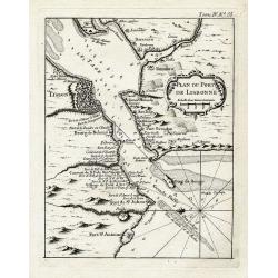
Plan du port de Lisbonne.
Highly detailed chart of the bay of Lisbon by the famous French geographer Nicolas Bellin. Shows the area with numerous forts, towns, and important landmarks along the co...
Date: Paris, ca. 1760
Selling price: ????
Please login to see price!
Sold in 2012
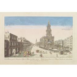
Vue de la Maison royale de Somerset avec l'Eglise de Ste. Marie dans le Strand a Londres. . .
So-called optical print illustrating the Somerset House with St. Mary's Church in the Strand London as indicated in the title. In the eighteenth and nineteenth centuries ...
Date: Paris, 1760
Selling price: ????
Please login to see price!
Sold in 2019
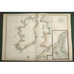
Carte Generale de Costes D'Irlande, et des Costes Occidentales D'Angleterre avec une Partie de celles D'Ecosse.
Very large engraved sea chart, with inset view of the River Dee at Chester. The chart showing the whole of Ireland and the Westcoast of England from Cornwall to Cuningham...
Date: Paris, 1760
Selling price: ????
Please login to see price!
Sold in 2011
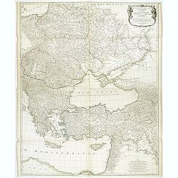
Troisieme partie de la carte d'Europe, contenant le midi de la Russie, la Pologne, et la Hongrie, la Turquie y compris celle d'Asie presqu'entiere. . .
Wall map sized map of Russia, Crimea, Turkey, Cyprus and Holey Land. Centered on the Black Sea. Prepared by Jean Baptiste Bourguignon d'Anville (1697-1782). Ornamental ca...
Date: Paris, 1760
Selling price: ????
Please login to see price!
Sold in 2011
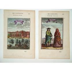
Belem (left) and Portugais (right)
A pair of well defined and decorative 18th century prints. One depicts Mosteiro dos Jeronimos in the Belem section of Lisbon and the other an affluent couple in typical l...
Date: Paris, ca. 1760
Selling price: ????
Please login to see price!
Sold in 2011
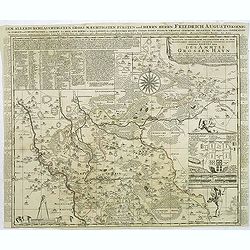
Accurate Geographische delineation. . . Des Ammtes grossen Hayn. . .
Very detailed map prepared by Adam Frederic Zürner (1680-1742). Surrounded with legends and decorated in the lower right corner with a plan of a royal campement. The tow...
Date: Amsterdam, 1760
Selling price: ????
Please login to see price!
Sold in 2016
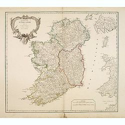
Royaume d'Irlande divisé en ses quatre Provinces.
Fine map of Ireland, engraved by the master Delahaye. Fine title cartouche. With ereased date.
Date: Paris, ca.1760
Selling price: ????
Please login to see price!
Sold in 2012
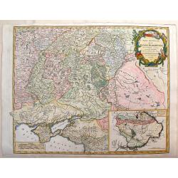
Partie Meridonale de la Russie Europeeennee
Important map of the southern part of Russia and the Ukraine. It has an inset of "Development de la Nouvelle Servie". Decorated with Rococo-style title cartouch...
Date: Paris, ca 1760
Selling price: ????
Please login to see price!
Sold in 2014
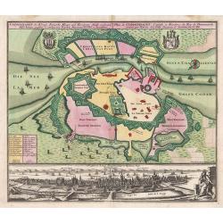
Coppenhagen die Konigl ...
A colored birds-eye view of Copenhagen. At bottom an uncolored panoramic view (100x570mm) with a legend, referring to all important buildings. A most decorative item, pub...
Date: Augsburg, 1760
Selling price: ????
Please login to see price!
Sold in 2013
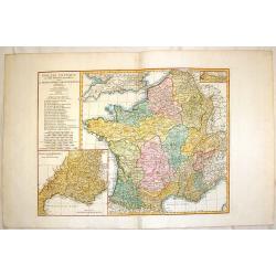
Gallia Antiqua ex Aevi Romani Monumentis Eruta.
A fine copper engraved map of France and Belgium in ancient times. The title section includes a list of regions by Roman numeral to make them easier to find. The detailed...
Date: Paris, 1760
Selling price: ????
Please login to see price!
Sold in 2015
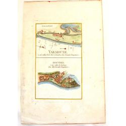
Yarmouth & Douvres.
An interesting copper engraved map showing the ports of Yarmouth and Dover in England. Louis Charles Desnos (1725-1805) was a geographer, bookseller and engineer, and ma...
Date: Paris, 1760
Selling price: ????
Please login to see price!
Sold in 2013
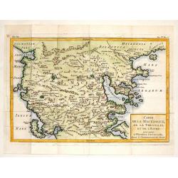
Carte de la Macedoine, de la Thessalie et de L'Epire.
Interesting copper engraved map of the Balkan region including what is currently Macedonia, Albania and northern Greece. Block style title cartouche. Jacques Nicolas Bel...
Date: Paris, 1760
Selling price: ????
Please login to see price!
Sold in 2013
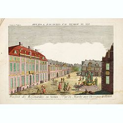
Vue du Marché aux Cheveaux a Stettin.
Rare so-called optical print illustrating the Horse market of Stettin in Poland.
Date: Augsburg, 1760
Selling price: ????
Please login to see price!
Sold in 2016
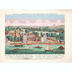
Der Pallast oder Residenz des Erzbischoffs von Canterbury ganandt Lambeth, an der Themse zu London. . .
Rare so-called optical print illustrating Lambeth Palace, the official London residence of the Archbishop of Canterbury, with a detailed view of London in the Background ...
Date: Augsburg, 1760
Selling price: ????
Please login to see price!
Sold in 2017
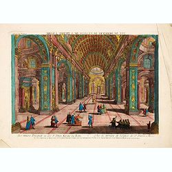
Der innere Prospect in der St. Peters Kirche in Rome. . .
Rare so-called optical print illustrating the interior of St. Paul in the Vatican. Engraved by Jean Benoit Winckler.The Academie Imperiale was a well-known publisher of o...
Date: Augsburg, 1760
Selling price: ????
Please login to see price!
Sold in 2014
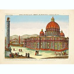
Die prachtige Sr. Peters Kirche im Vatican zu Rom. . . - Vuë de l'Eglise Cathetrade de St. Pierre au le Vatican a Rome.
Rare so-called optical print illustrating the St. Peter's Basilica in the Vatican. Engraved by Jean Benoit Winckler after Joseph Vasi.The Academie Imperiale was a well-kn...
Date: Augsburg, 1760
Selling price: ????
Please login to see price!
Sold in 2017
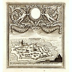
(Paide) Wittenstein in Lieffland / Wittenstein in Lieffland Oder Weissenstein kleine Stadt nebst eine Starken Schloss in der Lieflandische Provinz Estland. . .
Rare bird's eye view of Paide in Estonia by George Christian Kilian. The upper part of the engraving has very nice baroque decoration with an empty shield.Georg Christian...
Date: Augsburg, 1760
Selling price: ????
Please login to see price!
Sold in 2014
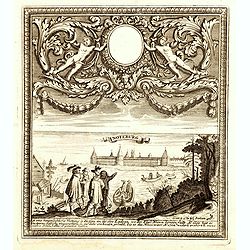
Noteburg. (Schüsselburg) / Ist eine hauptsächliche Festung an dem See Ladoga, wo der Fluss Nieva hinein fallt. . .
Rare bird's eye view of Schlüsselburg, east of St. Petersburg by George Christian Kilian. The upper part of the engraving has very nice baroque decoration with an empty ...
Date: Augsburg, 1760
Selling price: ????
Please login to see price!
Sold in 2014
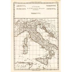
L'Italie.
Rigobert Bonne (1727-1795), French cartographer. His maps are found in a.o. Atlas Moderne (1762), Raynal's Histoire Philos. du Commerce des Indes (1774) and Atlas Encyclo...
Date: Amsterdam, c. 1760
Selling price: ????
Please login to see price!
Sold in 2018
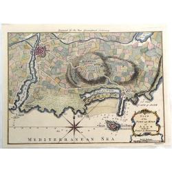
Plan of the Town and Mole of Agde with the Fort de Brescou.
Fine copper engraved map of Agde near the towns of Marseillan and Bessan, on the coastline of southern France in the Gulf of Lion. By John Hinton engraved for the "N...
Date: London, 1760
Selling price: ????
Please login to see price!
Sold in 2019
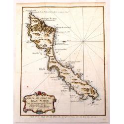
Carte de L'Isle de Jean Mayen.
Fine little copper engraved, hand colored map of the Island of Jean Mayen, off the coast of Norway. It was by Bellin. Features a decorative title cartouche.
Date: Paris, 1760
Selling price: ????
Please login to see price!
Sold in 2016
A new and Accurate Map of ENGLAND Drawn from the best Authorities by Thomas Bowen.
A detailed map of England and Wales engraved for Cowley’s History of England 1760 edition. The title is in a very ornate cartouche a list of references to the Counties ...
Date: London 1760
Selling price: ????
Please login to see price!
Sold in 2016
A New and Accurate Map of the Kingdoms of Spain, Portugal and Part of France, The Islands of Majorca, Minorca &c.
Poduced for “Universal Magazine” by J. Hinton. It was engraved by Richard William Seale (1703-1762). The map features an attractive rococo cartouche and compass rose...
Date: London, ca. 1760
Selling price: ????
Please login to see price!
Sold in 2018
Prospect und Grundris der Keiserl. Freyen Reichs und Anse Stadt Bremen . . .
Decorative town plan of Bremen with surrounding area. In lower part a fine panoramic view.
Date: Nuremberg , ca. 1760
Selling price: ????
Please login to see price!
Sold in 2016
Vue d'Optique Representant: La Vue de la Grande Allee du Jardin de Vauxhall Prise de l'entrée
Optical print illustrating a perspective view of Vauxhall Garden in London. (No. 24e) It was produced at Chez Daumont in Paris in 1760.Vue d'Optique, is a special type of...
Date: Paris, 1760
Selling price: ????
Please login to see price!
Sold in 2015
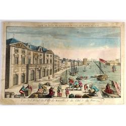
Vue de l'Hôtel de Ville de Marseille du Côté du Port.
Striking copper engraved optical print illustrating a perspective view of the City Hall of Marseille, France, taken from the harbour.In the eighteenth and nineteenth cent...
Date: Paris, 1760
Selling price: ????
Please login to see price!
Sold in 2018
Circuli Super. Saxoniae Pars Meridionalis . . .
Map of a large part of Germany and a part of the Czech Republic. The map includes the cities: Prague, Berlin, Frankfurt, Magdeburg, Brandenburg, Halle, Leipzig and Dresde...
Date: Augsburg, 1760
Selling price: ????
Please login to see price!
Sold in 2016
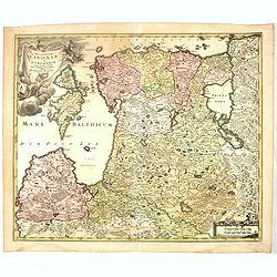
Dvcatvvm Livoniae et Cvrlandiae cum vicinis. . .
A very attractive of Livonia, Estonia, Curlandia and the Baltic coast.
Date: Nuremberg, 1760
Selling price: ????
Please login to see price!
Sold in 2016
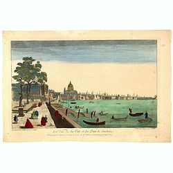
83e Vue de la Ville et du Pont de Londres.
So-called optical print of London with River Theems. Basset was a well-known publisher of optical prints, established in rue S.Jacques in Paris. In the eighteenth and nin...
Date: Paris, 1760
Selling price: ????
Please login to see price!
Sold in 2016
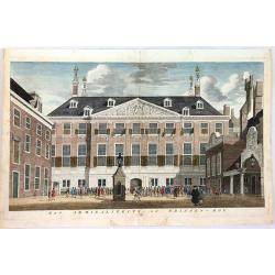
Het Admiraliteits of Prinsen - Hof
The Admiralty or courtyard of the Princes, the former Town Hall, seen at right with the main entrance from the side against the Princes Lane. Original copper engraving fr...
Date: Amsterdam, 1760
Selling price: ????
Please login to see price!
Sold in 2018
![Two maps and a print of Switzerland. [3 items].](/uploads/cache/14381-250x250.jpg)

![Plan de Prag. [Manuscript plan of Prague - Praha]](/uploads/cache/24911-250x250.jpg)
