Browse Listings in Europe
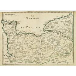
La Normandie.
Fine map of the French region Normandy. George Louis Le Rouge was active from 1740- till 1780 as a publisher, and was appointed engineer for the King of France. From his ...
Date: Paris 1756
Selling price: ????
Please login to see price!
Sold
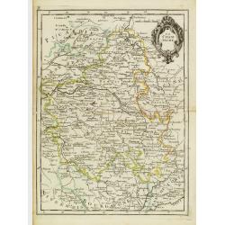
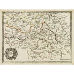
La Champagne.
Fine map of the French region Champagne, with decorative title cartouche. George Louis Le Rouge was active from 1740- till 1780 as a publisher, and was appointed engineer...
Date: Paris 1756
Selling price: ????
Please login to see price!
Sold
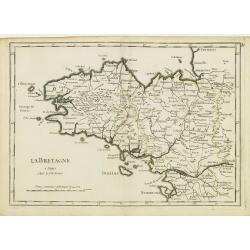
La Bretagne.
Fine map of the French region Brittany. George Louis Le Rouge was active from 1740- till 1780 as a publisher, and was appointed engineer for the King of France. From his ...
Date: Paris 1756
Selling price: ????
Please login to see price!
Sold
Orleanois, Perche, le Mans, Anjou, Tourraine, Berry.
Fine map of today's French region called Centre, including the towns of Orleans, Tours and Bourges. With decorative title cartouche. George Louis Le Rouge was active from...
Date: Paris 1756
Selling price: ????
Please login to see price!
Sold
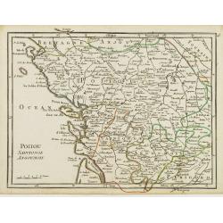
Poitou, Saintonge, Angoumois.
Fine map of the today's French region Poitou-Charente, including part of the Vendée. George Louis Le Rouge was active from 1740- till 1780 as a publisher, and was appoin...
Date: Paris 1756
Selling price: ????
Please login to see price!
Sold
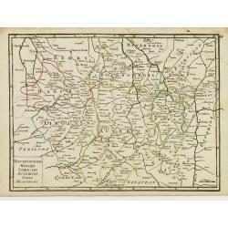
Bourbonnois, Marche, Limousin, Auvergne, Forez, Beaujolois.
Fine map of the today's French regions of Limousin and Auvergne, including part of the Rhône-Alpes region. George Louis Le Rouge was active from 1740- till 1780 as a pub...
Date: Paris 1756
Selling price: ????
Please login to see price!
Sold in 2010
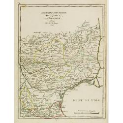
Languedoc, Roussillon, Foix, Quercy, et Rouergue.
Fine map of the French region Languedoc-Roussillon, including some territory at its East. George Louis Le Rouge was active from 1740- till 1780 as a publisher, and was ap...
Date: Paris 1756
Selling price: ????
Please login to see price!
Sold
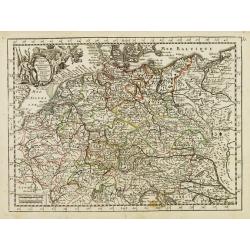
L'Empire d'Allemagne..
Fine map of Germany, with decorative title cartouche. George Louis Le Rouge was active from 1740- till 1780 as a publisher, and was appointed engineer for the King of Fra...
Date: Paris 1756
Selling price: ????
Please login to see price!
Sold
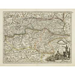
Le Cercle d'Autriche.
Fine map of Austria. It presents a decorative title cartouche and a cartouche depicting knights whose impression is slightly faded. George Louis Le Rouge was active from ...
Date: Paris 1756
Selling price: ????
Please login to see price!
Sold
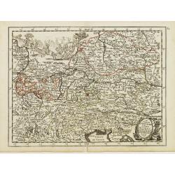
La Haute Autriche..
Fine map of the western part of Austria with a decorative title cartouche. George Louis Le Rouge was active from 1740- till 1780 as a publisher, and was appointed enginee...
Date: Paris 1756
Selling price: ????
Please login to see price!
Sold
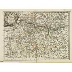
La Basse Autriche.
Fine map of the eastern part of Austria with a decorative title cartouche. George Louis Le Rouge was active from 1740- till 1780 as a publisher, and was appointed enginee...
Date: Paris 1756
Selling price: ????
Please login to see price!
Sold
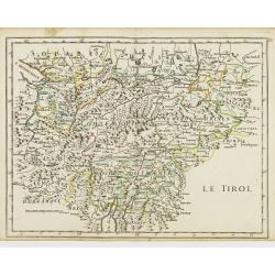
Le Tirol.
Fine map of Tyrol. In lower part Lake Garda and in upper right the skiing grounds of Innsbruck, Kuffstein, etc.George Louis Le Rouge was active from 1740- till 1780 as a ...
Date: Paris 1756
Selling price: ????
Please login to see price!
Sold
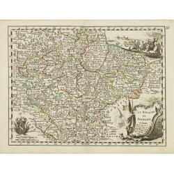
Le Royaume de Boheme.
Fine map of Bohemia, with title cartouche and two decorative cartouches on upper right and lower left corners. George Louis Le Rouge was active from 1740- till 1780 as a ...
Date: Paris 1756
Selling price: ????
Please login to see price!
Sold
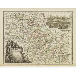
Le Duché de Silesie..
Fine map of Silesia. With title cartouche and decorative cartouche on upper right corner. George Louis Le Rouge was active from 1740- till 1780 as a publisher, and was ap...
Date: Paris 1756
Selling price: ????
Please login to see price!
Sold
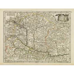
Le Royaume de Hongrie.
Fine map of Hungary, with title cartouche. With title cartouche and decorative cartouche on upper right corner. George Louis Le Rouge was active from 1740- till 1780 as a...
Date: Paris 1756
Selling price: ????
Please login to see price!
Sold
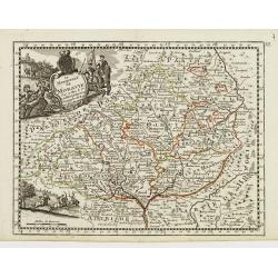
Le Marquisat de Moravie.
Fine map of Moravia, with decorative title cartouche and another cartouche on lower left corner. George Louis Le Rouge was active from 1740- till 1780 as a publisher, and...
Date: Paris 1756
Selling price: ????
Please login to see price!
Sold
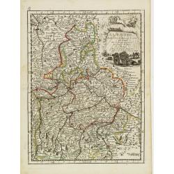
La Baviere..
Fine map of Bavaria, with decorative title cartouche. George Louis Le Rouge was active from 1740- till 1780 as a publisher, and was appointed engineer for the King of Fra...
Date: Paris 1756
Selling price: ????
Please login to see price!
Sold
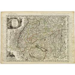
La Souabe.
Fine map of Schwaben, with decorative title cartouche and another cartouche in lower left corner. With manuscript notes in top, left and right margins giving some histori...
Date: Paris 1756
Selling price: ????
Please login to see price!
Sold in 2021
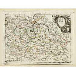
Cercle de la Haute Saxe.
Fine map of Saxony, with decorative title cartouche. George Louis Le Rouge was active from 1740- till 1780 as a publisher, and was appointed engineer for the King of Fran...
Date: Paris 1756
Selling price: ????
Please login to see price!
Sold in 2018
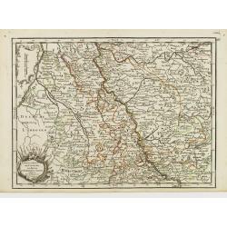
L'Electorat de Cologne, Le Duché de Bergue et Juliers.
Fine map of the south-eastern part of North Rhine-Westphalia, around Düsseldorf and Cologne. With decorative title cartouche. George Louis Le Rouge was active from 1740 ...
Date: Paris 1756
Selling price: ????
Please login to see price!
Sold in 2020
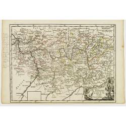
La Franconie.
Fine map of the German region Baden-Württemberg, with decorative title cartouche. With manuscript notes in left margin giving some historical information about the regio...
Date: Paris 1756
Selling price: ????
Please login to see price!
Sold in 2020
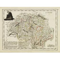
La Suisse.
Fine map of Switzerland with dark decorative cartouche on upper left corner. With date 1743 added in manuscript.George Louis Le Rouge was active from 1740- till 1780 as a...
Date: Paris 1756
Selling price: ????
Please login to see price!
Sold in 2009
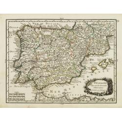
L' Espagne Suivant les Nouvelles Observations.
Fine map of Spain and Portugal with decorative title cartouche. With date 1743 added in manuscript.George Louis Le Rouge was active from 1740- till 1780 as a publisher, a...
Date: Paris 1756
Selling price: ????
Please login to see price!
Sold
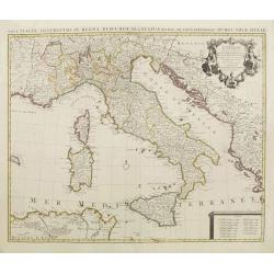
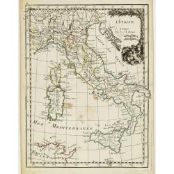
L' Italie.
Fine map of Italy with decorative title cartouche. With date 1743 added in manuscript.George Louis Le Rouge was active from 1740- till 1780 as a publisher, and was appoin...
Date: Paris, 1756
Selling price: ????
Please login to see price!
Sold in 2020
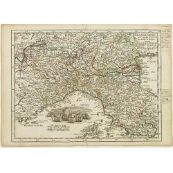
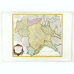
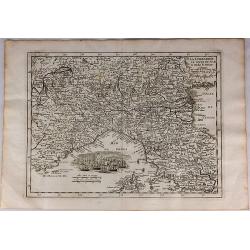
La Lombardie, Le Cours du Po &c Le Duché de Toscane.
Fine map of northern Italy with decorative cartouche illustrating some vessels in the gulf of Genoa. With manuscript notes in right margin giving some historical informat...
Date: Paris 1756
Selling price: ????
Please login to see price!
Sold
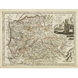
La Savoye.
Fine map of Savoy with decorative cartouches on right corners. George Louis Le Rouge was active from 1740- till 1780 as a publisher, and was appointed engineer for the Ki...
Date: Paris 1756
Selling price: ????
Please login to see price!
Sold
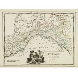
République de Gênes.
Fine map of the gulf of Genoa. With decorative title cartouche. With date 1749 added in manuscript.George Louis Le Rouge was active from 1740- till 1780 as a publisher, a...
Date: Paris 1756
Selling price: ????
Please login to see price!
Sold
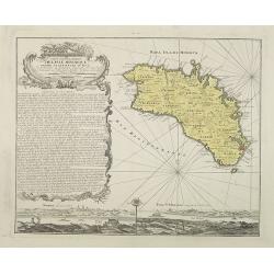
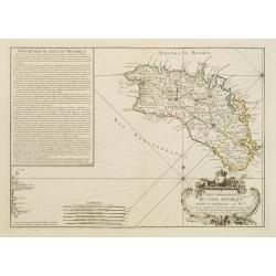
Carte topographique DE L'ISLE MINORQUE, Dédiée et présentée au Roy ..
Very rare map depicting the island of Minorca. The bottom is decorated with a stunning title cartouche, engraved by Choffard.The French text on the left side contains a l...
Date: Paris 1756
Selling price: ????
Please login to see price!
Sold
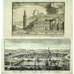
Veduta della Citta di Siviglia../ ..Eglise de Seville.
Fine panoramic view of the Sevillia. Taken from Storia moderna di tutti I popoli del mondo , edited by Thomas Salmon. A italian edition of this famous work, published in ...
Date: Venice 1740-1756
Selling price: ????
Please login to see price!
Sold
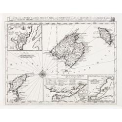
Carte welche die Inseln Maiorca, Minorca, Yvica und Formentera..
So called "Einblattdruck" of Majorca, Minorca and 2 insets of parts of the Island Majorca. Prepared after Felßecker and Bellin.
Date: Frankfurt a.Main & Leipzig, dated 1756
Selling price: ????
Please login to see price!
Sold
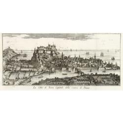
La Citta di Nizza Capitale della Contea di Nizza.
Fine panoramic views of Nice, taken from Storia moderna di tutti I popoli del mondo , edited by Thomas Salmon. A Italian edition of this famous work, published in 26 volu...
Date: Venice, 1740-1756
Selling price: ????
Please login to see price!
Sold in 2011
Le Royaume de Hongrie la Transilvanie L'Esclavonie la Croatie et la Bosnie.
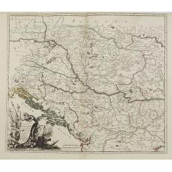
Fine map of Hungary with a splendid cartouche of an elephant, a crocodile and a canon and canon balls in the forefront and an array of flags amidst a cloud of smoke in th...
Date: Paris, 1756
Selling price: ????
Please login to see price!
Sold in 2013
La Pologne.
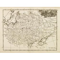
Fine map of Poland. George Louis Le Rouge was active from 1740- till 1780 as a publisher, and was appointed engineer for the King of France.From his Atlas Nouveau Portati...
Date: Paris, 1756
Selling price: ????
Please login to see price!
Sold in 2008
Carte de L'Empire D'Allemagne divisé en ses dix cercles,...
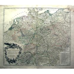
Detailed engraved map of all of Germany, extending to Northern Italy, Poland, Austria, Switzerland, the Benelux, and France. Filled with topographical information: Cit...
Date: Paris, 1756
Selling price: ????
Please login to see price!
Sold in 2011
Isle Minorque.
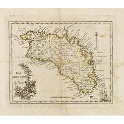
Nice map of the island of Majorca, title cartouche lower left. Orientated to the north.
Date: Paris, 1756
Selling price: ????
Please login to see price!
Sold
Partie occidentale de la Lombardie. . .
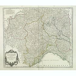
Detailed map of the region of the north of Italy from his "Atlas Universel." Gilles Robert de Vaugondy (1688–1766), also known as Le Sieur or Monsieur Robert,...
Date: Paris, 1756
Selling price: ????
Please login to see price!
Sold in 2011
Carte de l'Italie dans laquelle sont tracées les routes des postes.
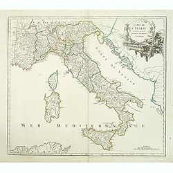
post road maps map of Italy, including the island of Corsica, Sardine and Sicilia from his "Atlas Universel".Gilles Robert de Vaugondy (1688–1766), also known...
Date: Paris, 1756
Selling price: ????
Please login to see price!
Sold in 2014
Partie occidentale de la Lombardie qui comprend la République de Venise. . .
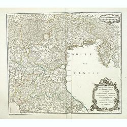
Detailed map of region of north of Italia from his "Atlas Universel".Gilles Robert de Vaugondy (1688–1766), also known as Le Sieur or Monsieur Robert, and his...
Date: Paris, 1756
Selling price: ????
Please login to see price!
Sold in 2011
Carte Ancienne des Pays Bas et des Environs du Temps des Romains.
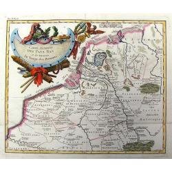
Copper engraved map of The Netherlands in the time of the domination by the Roman Empire. The map also includes portions of Belgium and Germany. The Renaissance title car...
Date: Paris, 1756
Selling price: ????
Please login to see price!
Sold in 2013
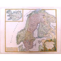
Les Royaumes de Suede et de Norwege.
Detailed, large map of Scandinavia published in Vaugondy's "Atlas Universel," one of the best-selling French atlases of the 1700s. It has a large, fancy title c...
Date: Paris, 1756
Selling price: ????
Please login to see price!
Sold in 2013
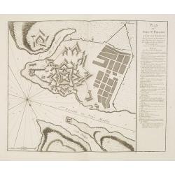
Plan de la Ville et du Port Mahon et du Fort St. Philippe.
Scarce separately issued map of the fort and town St.Philippe and port Mahon in a first state. In upper left corner the title and a key in French (A-Z, Aa-Bb) and a key i...
Date: Paris, ca. 1756
Selling price: ????
Please login to see price!
Sold in 2013
Plan du Fort St. Philippe et de ses Environs : Situés à l'entrée du Port Mahon dans l'Isle de Minorque / Envoyés par Mgr le Marechal Duc de Richelieu. . .
Separately published print of Fort Philippe with numbered key [key: 1-51] to the right. Published on 24 May 1756 by R.J. Julien à l'Hotel de Soubise in Paris. According ...
Date: Paris, ca. 1756
Selling price: ????
Please login to see price!
Sold in 2013
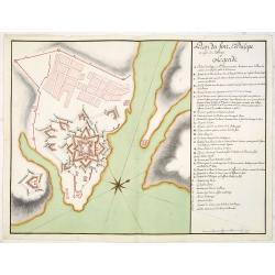
Plan du fort St. Philipe en l'isle de Minorque. . .
Manuscript plan of Fort Philippe with a lettered key [key: A-Z a-h] to the right. This manuscript plan is very similar to the separately published plan by R.J. Julien of...
Date: Paris, ca. 1756
Selling price: ????
Please login to see price!
Sold in 2016
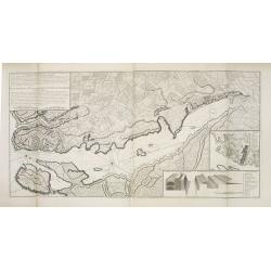
Plan de Lisle de Minorque. / Plan du port Mahon.
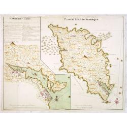
Manuscript map of the island of Minorca. The left hand part shows the Bay of Mahon with the town of Mahon and Fort Philippe with a lettered key [A-Z &].The map is fil...
Date: Paris, ca. 1756
Selling price: ????
Please login to see price!
Sold
Plan du Port Mahon à l'isle de Minorque.
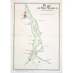
Uncommon early French manuscript map of the bay and town-planof port Mahón. The entrance of the bay is blocked by "Staccades". St. Philip's Castle still in it ...
Date: Minorca ? / France, ca. 1756
Selling price: ????
Please login to see price!
Sold
Carte des Isles Kouriles D'apres la Carte Russe.
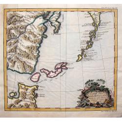
A striking map of the Kuril Islands off the shore of Japan. The ownership of these volcanic islands has been in contention between Russia and Japan. The southern part of ...
Date: Paris, 1756
Selling price: ????
Please login to see price!
Sold in 2019
La Citta d'Amsterdam Capitale della Olanda.
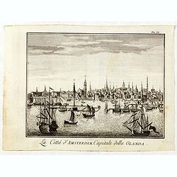
Fine panoramic view of Amsterdam seen from the Y, taken from Storia moderna di tutti I popoli del mondo , edited by Thomas Salmon. A Italian edition of this famous work, ...
Date: Venice, 1740-1756
Selling price: ????
Please login to see price!
Sold in 2019
Partie occidentale de la Lombardie. . .
Detailed map of region of north of Italy from his "Atlas Universel".Gilles Robert de Vaugondy (1688–1766), also known as Le Sieur or Monsieur Robert, and his ...
Date: Paris, 1756
Selling price: ????
Please login to see price!
Sold in 2016
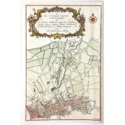
A New and Accurate Survey of the Parishes of St. Andrew's Holburn....
A fine, detailed hand-colored map of the Charterhouse Liberty area. From Maitland's "THE HISTORY AND SURVEY OF LONDON" published by Osborne & Shipton in Lon...
Date: London, 1756
Selling price: ????
Please login to see price!
Sold in 2016
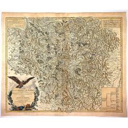
Carte de la Lorraine et du Barbois ....
Striking 1756 map of the French wine making region of Lorraine by Robert de Vaugondy. It covers the north east portion of France along with parts of neighboring Germany f...
Date: Paris , 1756
Selling price: ????
Please login to see price!
Sold in 2017
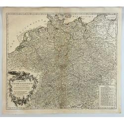
Carte de L'Empire D'Allemagne Divise en Ses Dix Cercles.
A detailed map of Germany, including the Low Countries, Bohemia and Poland. It shows political divisions, numerous place names, rivers and topography. It is decorated by ...
Date: Paris, 1756
Selling price: ????
Please login to see price!
Sold in 2017
La Lombardie le Cours du Po & le Duche de Toscane...
A fine map of northern Italy with a decorative cartouche illustrating some vessels in the gulf of Genoa. With manuscript notes in right margin giving some historical info...
Date: Paris, 1756
Selling price: ????
Please login to see price!
Sold in 2018
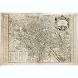
Plan de Paris divisé en seize quartiers. . .
Large decorative plan with lettered key to the streets, parishes, colleges, hospitals and communities. The end of the address has been erased, state not cited by Vallée.
Date: Paris, 1756
Selling price: ????
Please login to see price!
Sold in 2021
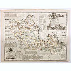
An Accurate Map of Berkshire divided into its Hundreds . . .
A good clean copy of by far the most important eighteenth-century English atlas to be published before the appearance of John Cary's new English atlas in 1787 (Hodson). T...
Date: London ca 1756
Selling price: ????
Please login to see price!
Sold in 2023
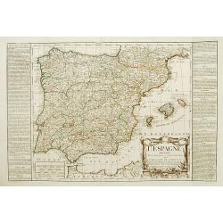
L'Espagne divisée en ses Royaumes et .. avac le Royaumes de Portugal.
RARE map of Spain and Portugal prepared by J.B.Nolin and published by Daumont. A visually stunning map with a large title cartouche. To the left and right text boxes with...
Date: Paris 1757
Selling price: ????
Please login to see price!
Sold
Lucca.
Very rare bird's-eye plan of Lucca. To the sides a historical description and a numbered key.George Christophe Kilian (1709-1780) active as engraver of Augsburg published...
Date: Augsburg 1757
Selling price: ????
Please login to see price!
Sold
Lausanna.
Very rare bird's-eye plan of Lausanne. To the sides a historical description and a lettered key.George Christophe Kilian (1709-1780) active as engraver of Augsburg publis...
Date: Augsburg 1757
Selling price: ????
Please login to see price!
Sold
Londen.
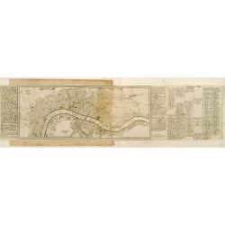
Very rare bird's-eye plan of London. To the sides a historical description and a numbered key.George Christophe Kilian (1709-1780) active as engraver of Augsburg publishe...
Date: Augsburg 1757
Selling price: ????
Please login to see price!
Sold
Genua oder Genova.
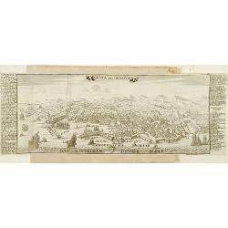
Very rare bird's-eye plan of Genova. To the sides a historical description and a numbered key.George Christophe Kilian (1709-1780) active as engraver of Augsburg publishe...
Date: Augsburg 1757
Selling price: ????
Please login to see price!
Sold
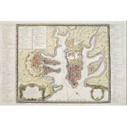
Plan Alt und Neuer Fortificatizon von Malta gelegen auf der Insul gleiches Namens. [Valletta]
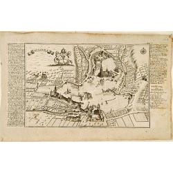
Very rare bird's-eye plan of town and harbor of Valletta on Malta. To the sides a historical description and a numbered key.George Christophe Kilian (1709-1780) active as...
Date: Augsburg 1757
Selling price: ????
Please login to see price!
Sold
Milano - Meyland.
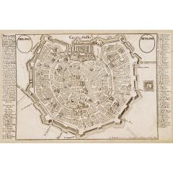
Very rare bird's-eye plan of Milan. To the sides a historical description and a numbered key.George Christophe Kilian (1709-1780) active as engraver of Augsburg published...
Date: Augsburg 1757
Selling price: ????
Please login to see price!
Sold
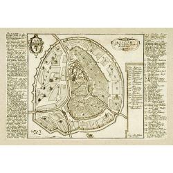
Moscow.
Very rare bird\'s-eye plan of Moscow. To the sides a historical description and a numbered key.George Christophe Kilian (1709-1780) active as engraver of Augsburg publish...
Date: Augsburg 1757
Selling price: ????
Please login to see price!
Sold
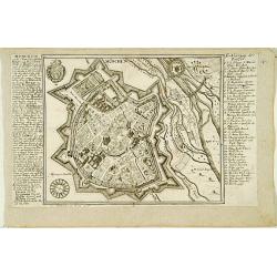
München.
Very rare bird's-eye plan of Munich. To the sides a historical description and a numbered key.George Christophe Kilian (1709-1780) active as engraver of Augsburg publishe...
Date: Augsburg 1757
Selling price: ????
Please login to see price!
Sold
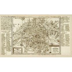
Paris.
Very rare bird's-eye plan of Paris. To the sides a historical description and a numbered key.George Christophe Kilian (1709-1780) active as engraver of Augsburg published...
Date: Augsburg 1757
Selling price: ????
Please login to see price!
Sold
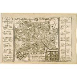
Roma.
Very rare bird's-eye plan of Rome. To the sides a historical description and a numbered key.George Christophe Kilian (1709-1780) active as engraver of Augsburg published ...
Date: Augsburg 1757
Selling price: ????
Please login to see price!
Sold
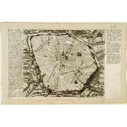
Bologna.
Very rare bird's-eye plan of Bologna. To the sides a historical description and a numbered key.George Christophe Kilian (1709-1780) active as engraver of Augsburg publish...
Date: Augsburg 1757
Selling price: ????
Please login to see price!
Sold
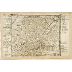
Fiorenza oder Florenz.
Very rare bird's-eye plan of Florence. To the sides a historical description and a numbered and lettered key.George Christophe Kilian (1709-1780) active as engraver of Au...
Date: Augsburg 1757
Selling price: ????
Please login to see price!
Sold
Saltzburg.
Very rare bird's-eye plan of Salzburg. To the sides a historical description and a numbered key.George Christophe Kilian (1709-1780) active as engraver of Augsburg publis...
Date: Augsburg 1757
Selling price: ????
Please login to see price!
Sold
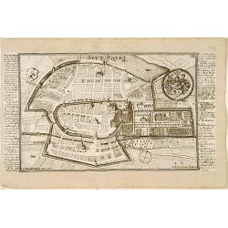
Stutgart.
Very rare bird's-eye plan of Stuttgart. To the sides a historical description and a numbered key.George Christophe Kilian (1709-1780) active as engraver of Augsburg publi...
Date: Augsburg 1757
Selling price: ????
Please login to see price!
Sold
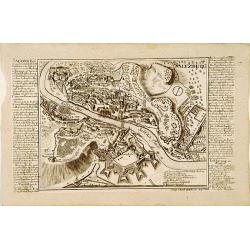
Wien.
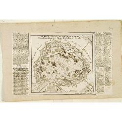
Very rare bird's-eye plan of Vienna. To the sides a historical description and a numbered and lettered key.George Christophe Kilian (1709-1780) active as engraver of Augs...
Date: Augsburg 1757
Selling price: ????
Please login to see price!
Sold
Cölln. [Cologne]
Very rare bird's-eye plan of Cologne. To the sides a historical description and a numbered key.George Christophe Kilian (1709-1780) active as engraver of Augsburg publish...
Date: Augsburg 1757
Selling price: ????
Please login to see price!
Sold
Haag.
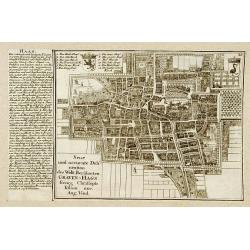
Very rare bird's-eye plan of Den Haag. To the left side a historical description.George Christophe Kilian (1709-1780) active as engraver of Augsburg published his Kleiner...
Date: Augsburg 1757
Selling price: ????
Please login to see price!
Sold
Malta ad Vallette.
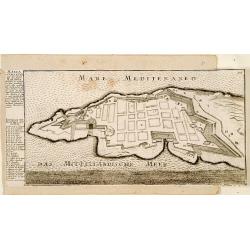
Very rare bird's-eye plan of Valetta. To the left side a historical description and a lettered key.George Christophe Kilian (1709-1780) active as engraver of Augsburg pub...
Date: Augsburg 1757
Selling price: ????
Please login to see price!
Sold
Nova illustrissimi principatus Pomeraniae descrptio.. .
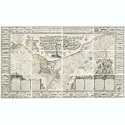
"Only a small number of copies were printed and so this edition is a very rare object today" (Scharfe). THE MOST IMPORTANT EARLY MAP OF POMERANIA, the region on...
Date: Amsterdam, 1618-1757
Selling price: ????
Please login to see price!
Sold in 2015
Oud Griekenland zo als 't eerste in Koninkrijken..
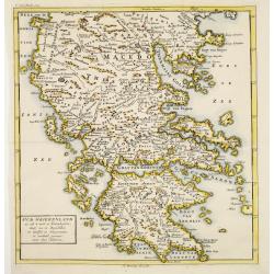
Very unusual map of ancient Greece. In upper left margin V. Deel Bladz.275.
Date: Utrecht c.1757
Selling price: ????
Please login to see price!
Sold
Plan general de la Ville capitale de Malta..
Attractive large scale plan of Valetta on Malta. With numbered key to the principal places of interest.The print has unfortunately some reinforcements of missing parts, c...
Date: Paris 1757
Selling price: ????
Please login to see price!
Sold
l''Italie.
Large map of Italy, Sicily, Sardinia, Corsica, part of the Balkan, France and northern Africa. Dressee sur les observations de Mrs de l'Academie royale etc. Originally de...
Date: Amsterdam, 1757
Selling price: ????
Please login to see price!
Sold in 2008
D' Reyse des Apostels Pauli na Roomen.
Dutch so-called 'Staten' bibles, published between 1637 and c. 1760, contained 5 maps: The World, 'Paradise', The Perigrinations, The Promised Land Canaan, The Travels of...
Date: Amsterdam / Leiden, R. & J. Wetstein / W. Smith / S. Luchtmans, 1757
Selling price: ????
Please login to see price!
Sold
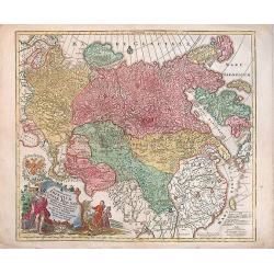
Spatiosissimum Imperium Russiae Magnae juxta recentissimas Observationes Mappa Geographica . . .
Decorative map of Russia, from Livonia to Kamchatka, China, Tibet, and part of Japan Filled with place names, a nomadic tent encampments in Mongolia.Kamchatka in a curi...
Date: Augsburg, 1757
Selling price: ????
Please login to see price!
Sold in 2013
Carte topographique de l'isle Minorque dediée et presentée au roy par le chevalier de Beaurain. . . et communiquée au public par les Heritiers de Homan en l'an 1757.
A rare map depicting the island of Minorca. The upper left is decorated with a stunning title cartouche.The German text on the left side contains a lengthy description of...
Date: Nuremberg, 1757
Selling price: ????
Please login to see price!
Sold in 2010

![Plan Alt und Neuer Fortificatizon von Malta gelegen auf der Insul gleiches Namens. [Valletta]](/uploads/cache/17369-250x250.jpg)
![Cölln. [Cologne]](/uploads/cache/17380-250x250.jpg)
