
Browse Listings in East Meets West > Silk Road
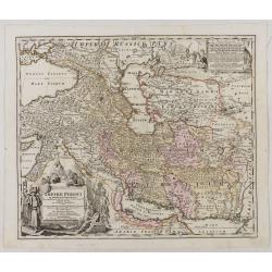
Imperii Persici in omnes suas Provincias . . . Exacte Divisi Nova Tabula Geographica. . .
Showing the eastern part of Turkey and Cyprus, Palestine, Persian Gulf, including Gulf of Oman, Caspian Sea, Iran and the north-west territories of India.Embellished with...
Date: Ausburg, 1730
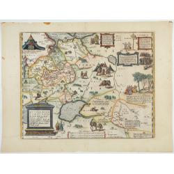
Russiae, Moscoviae et Tartariae Descriptio.
Engraved by Frans Hogenberg from an original of 1562 by Anthony Jenkinson of the English Muscovy Company. The many vignettes are based on the reports of Marco Polo's expl...
Date: Antwerp, 1598
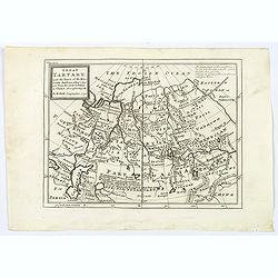
Great Tartary, with the tract of the Moscovite Ambassador's Travels from Moscow to Pekin in China.
An interesting map illustrating the route taken by the Russian Ambassador on his travels east to Beijing. Shows the Great Wall, "Somer Houses" and "parts u...
Date: London, 1732
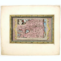
Historic Map - Naaukeurige Kaart Van Tartaryen, Soo als dat door W De Rubruquis doorreyst.
This attractive map published by Pieter van der Aa, shows Tartary abd the ancient Silk Road region. The map shows the track of William of Rubruck (Willem van Rubroeck or ...
Date: Amsterdam, 1713-1729
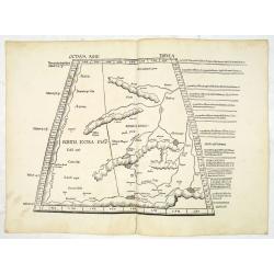
Octava Asie Tabula.
PTOLEMY, C. / WALDSEEMÜLLER, M. - The Silk Road Area.
Date: Strasburg, 1513
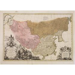
Carte la plus generale et qui comprend la Chine, la Tartarie chinoise et le Thibet. . .
It has a quite elaborate pictorial cartouche engraved by G. Kondet. It is a very detailed map of China, Tibet, and Korea.In the upper left corner is very good details of ...
Date: The Hague, 1737
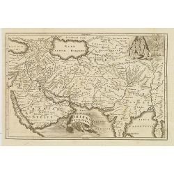
Oriens, Persia, India etc.
Uncommon map of Persia, Armenia, Arabian Peninsular and part of India. Prepared by Christoph Cellarius (1638-1707). From Geographia Antiqua...
Date: Leipzig, Gledisch, 1732
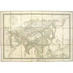
Carte physique et politique de l'Asie. Publiée pour la première fois en 1822 par J. GOUJON. Revue et augmentée par l'éditeur d'après de nouveaux matériaux.
This is a detailed map of Asie. It provides very good details of towns in modern-day Uzbekistan. The region is labeled as "Usbecs." The important cities on the...
Date: Paris, J. Goujon et J. Andriveau, 1837
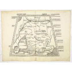
Secunda Asiae Tabula (Ukraine and Russia)
Woodblock printed a large-format Ptolemaic map showing Russia, Ukraine, and the Black Sea region. From the 1513 edition of Waldseemüller's Geographia.One of the earliest ...
Date: Strasburg, 1513
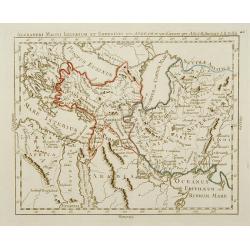
Alexandri Magni Imperium et Expeditio per Africam et potissimum per Aslam.
Rare map of the Empire of Alexander the Great, prepared by J.B.Nolin and published by Monhare for his Atlas Général a l'usage des colleges et maisons d'education.. Center...
Date: Paris, 1783
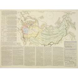
Tablaeu géographique statistique &C. de l'empire Russe actuel en Europe et en Asie avec ses aquisitions graduelles et caractérisées.
Map showing the extension of the Russian Empire at the beginning of the 19th century. Several letterpress notations are present on the map.Surrounding letterpress explana...
Date: Paris, Paul Renouard, 1828
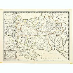
Description de l'Empire du Sophi des Perses tiree en partie de l'Arabe de Nubie, et en partie de plusieurs et diverses Relations.
The map of the Empire of Persia is shown to extend from Baghdad almost to the present-day borders of India. Including part of Saudi Arabia and Oman. Including "Golfe...
Date: Paris, 1650
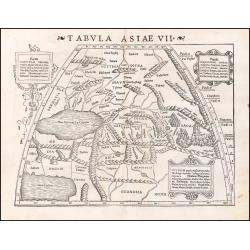
Tabula Asiae VII.
Attractive woodblock map, depicting the Caspian Sea, Black Sea and the Persian Gulf, extending to the Imaus Mountains. according to Ptolemy. In the center of the map is...
Date: Basle, 1542
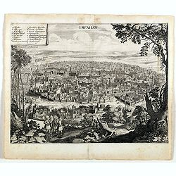
Isfahan.
An early of Isfahan in central Iran,. From the rare first edition "Offt begehrte Beschreibung der newen orientalischen Rejse, so durch Gelegenheit einer Holsteinisc...
- $250 / ≈ €214
Date: Schleßwig, Zur Glocken, 1647
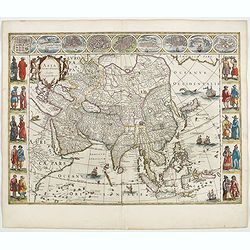
Asia noviter delineata. . .
From 1633 the members of the Blaeu family were official cartographers to the United East India Company and, as such, had access to the most up-to-date cartographic inform...
Date: Amsterdam, 1644
![Septima Asie Tabvla. |Walsseemüller's map of Central Asia and the Silk Road]](/uploads/cache/62137-250x250.jpg)
Septima Asie Tabvla. |Walsseemüller's map of Central Asia and the Silk Road]
Trapezoidal woodcut map showing the area east of the Sarygamysh Lake, about midway between the Caspian Sea and the (former) Aral Sea. It is one of the earliest obtainabl...
Date: Strasburg, J. Schott, 1513
