Browse Listings in Australia & Oceania > Pacific
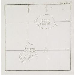
Isles des Cocos appellée Bosscaiven par le Capitaine Wallis / Isles des Traîtres appellée Keppel par le Capitaine Wallis. Tome II Pl. 4.
Chart of the Cocos and Keeppel Islands. The territory of Cocos (Keeling) Islands, also called Cocos Islands and Keeling Islands, is a territory of Australia. This map is ...
- $50 / ≈ €44
Date: Paris, 1774
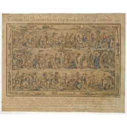
Tableau des Decouvertes du Cap.ne Cook, & de la Pérouse.
Three series of figures of natives with key below, surrounded by narrow pictorial border.Grasset de Saint Sauveur skillfully wove together two dozen individual scenes fro...
- $2200 / ≈ €1922
Date: Paris, 1798
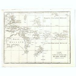
A Chart exhibiting the New Discoveries in the North & south Pacific Ocean.
A scarce map, probably from an English travel journal, produced in the late eighteenth century, showing the latest cartographic discoveries within the Pacific region. Map...
Date: London, ca. 1800
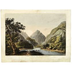
(RESERVED) A view in Oheitepeha Bay in the Island of Otaheite. (Tahiti)
A view of Vaitepiha Bay (Tahiti), with a mountainous landscape, with a river in the centre, a small canoe, Tahitian houses to the right, and a Tahitian couple in the left...
Date: London, Boydell and Co., 1808
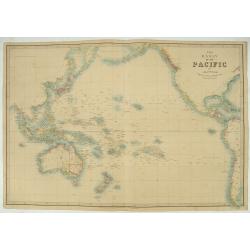
The Basin of the Pacific…
Very detailed map of the Pacific Ocean, including Australia, New Zealand, Japan, Hawaii, etc.James Wyld (the younger) was geographer to the Queen and H.R.H. Prince Albert...
- $200 / ≈ €175
Date: London, 1855/1864
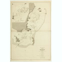
ILE UVEA CROQUIS DES BAIES DE MUA ET DE MATA UTU.
Mata-Utu is the capital of Wallis and Futuna, an overseas collectivity of France. It is located on the island of Uvéa, in the district of Hahake, of which it is also the...
- $80 / ≈ €70
Date: Paris, 1887
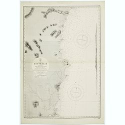
Sheet VI East coast of Australia. New South Wales Tacking Point to Coffs Islands surveyed by Comr. Fredk. W. Sidney R.N. . . 1862 - 1864. . .
Large chart representing East coast of Australia with New South Wales including Tacking Point to Coffs Islands surveyed by Comr. Fredk. W. Sidney R.N. from 1862 - 1864. F...
- $150 / ≈ €131
Date: London, 1939-1942
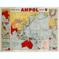
Pacific AMPOL Map
A large and very colorful World War II era map of the Pacific Ocean produced with the complements of the Australian Motorists Petrol Co. Ltd. The map itself shows the Pac...
- $1000 / ≈ €874
Date: Australia, ca 1942
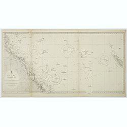
Australia, Coral Sea and Great Barrier Reefs shewing the inner and outer routes to Torres Strait. Sheet 1. . .
Large scale chart representing the Great Barrier Reef and the Coral Sea showing routes to the Torres Strait. Sheet 1.First published at the Admiralty 1860 with new editio...
- $150 / ≈ €131
Date: London, 1869-1943
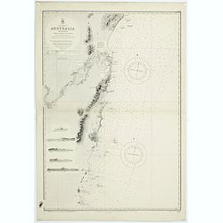
East coast of Australia. New South Wales. Sheet VII, Coffs Islands to Evans Head surveyed by Comr. Fredk. W. Sidney R.N. assisted by E.P. Bedwell & J.T. Gowlland, Masters & S. Guy, 2nd Master R.N. 1864-5
Large chart representing East coast of Australia with New South Wales including Coffs Islands to Evans Head surveyed by Comr. Fredk. W. Sidney R.N. First published at the...
- $150 / ≈ €131
Date: London, 1907-1943
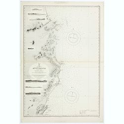
Sheet V East coast of Australia. New South Wales Evans Head to Danger Pt. surveyed by Comr. Fredk. W. Sidney R.N. . . 1864-5. . .
Large chart representing East coast of Australia with New South Wales including Evans Head to Danger Pt. surveyed by Comr. Fredk. W. Sidney R.N. from 1864 - 1865. First p...
- $150 / ≈ €131
Date: London, 1866-1943
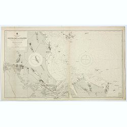
Australia - East coast Queensland Keppel Bay and Islands surveyed by staff Commr. J.Jeffery. . . 1864. . .
Large chart representing East coast of Australia with Queensland including Keppel Bay and Islands surveyed by Comr. J.Jeffery in 1864. First published at the Admiralty 3r...
- $150 / ≈ €131
Date: London, 1866-1943
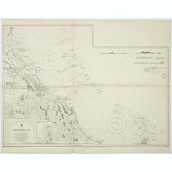
Sheet XI East coast of Australia - Sandy Cape to Keppel isles surveyed by Staff Commr. E.P. Bedwell, Navg. Lieutt. E.H.S. Bray, and Navg. Sub. Lieutt. E.R. Connor, 1870
Large chart representing East coast of Australia from Sandy Cape to Keppel isles surveyed by Staff Commr. E.P. Bedwell. With two inset charts of Pancake Creek. Scale 1:24...
- $150 / ≈ €131
Date: London, 1883-1944
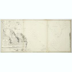
Sheet XII East coast of Australia Queensland Keppel Isles to Percy Isles. . .
Large chart representing east coast of Australia's Queensland showing Keppel Isles to Percy Isles with relief shown by hachures, spot heights and bathymetric soundings. S...
- $150 / ≈ €131
Date: London, 1932-1944
![Australia, E. coast - Queensland Percy isles to Whitsunday I. chiefly from a joint Admiralty & Colonial survey by Staff Commander Bedwell, R.N. 1873 to 1879 [1945]](/uploads/cache/36212-250x250.jpg)
Australia, E. coast - Queensland Percy isles to Whitsunday I. chiefly from a joint Admiralty & Colonial survey by Staff Commander Bedwell, R.N. 1873 to 1879 [1945]
Large chart representing East coast of Australia with Queensland from Percy isles to Whitsunday Island, with inset of Beverley Islands Anchorage. Scale 1:74,000. in lower...
- $150 / ≈ €131
Date: London, 1882-1945
