Browse Listings in Asia
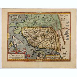
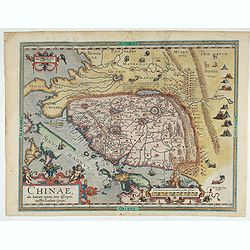
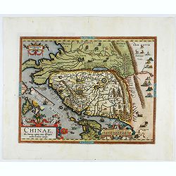
Chinae, olim Sinarum Regionis, nova descriptio. Auctore Ludovico Georgio.
The first map of China ever to appear in a Western atlas, west to the top. The second state with "Las Philipinas" somewhere in 1587 added to the plate. When thi...
- $6000 / ≈ €5099
Date: Antwerp, 1592
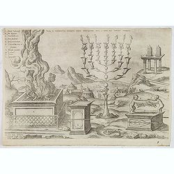
Sacri in tabernaculo apparatus partes ex descriptione Mosis. . .
Fine engraving of the brazen altar, bronze altar, or altar of sacrifice among other ritual objects such as the candelabrum. From Benedictus Arias Montanus' Antiquitatum I...
- $200 / ≈ €170
Date: Antwerp, 1572 / Leiden, 1593
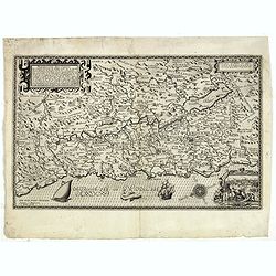
Peregrinatie Jesu Christu Een ordentliche beschrijvinge des Heijligen landts....
Very rare separately map of the Holy Land engraved by Joannes van Doetecum Jr. Oriented to the east. The shoreline runs from "Antaradus" in Syria to "Rhino...
Date: Amsterdam, ca. 1595
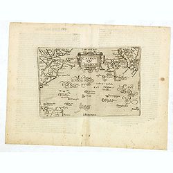
Calecuty Regnum
A rare and unusual depiction of the Indian Ocean between Madagascar, Ethiopia, southern Arabia, and south India and Ceylon.The calligraphy is florid and decorative. The e...
- $2000 / ≈ €1700
Date: Cologne, 1596
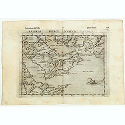
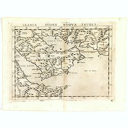
Arabia Felice Nuova Tavola.
Fine early map of Arabian peninsula, being one of the earliest modern maps of the region.Girolamo Ruscelli first published the map in his "La Geographi di Claudio To...
Date: Venice, 1598
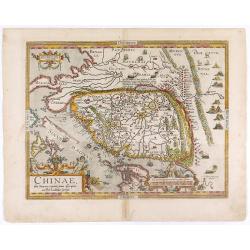
Chinae, olim Sinarum regionis. . .
The first printed map of China. It is signed by Ludovico Georgio, whose real name was Luis Jorge de Barbuda. He was a Portuguese Jesuit cartographer and besides that a sp...
Date: Antwerp, 1598
Chinae, olim Sinarum regionis. . .
The first printed map of China. It is signed by Ludovico Georgio, whose real name was Luis Jorge de Barbuda. He was a Portuguese Jesuit cartographer and besides that a sp...
Date: Antwerp, 1598
Arabia Felice Nuova Tavola.
Fine early map of Arabian peninsula, being one of the earliest modern maps of the region.Girolamo Ruscelli first published the map in his "La Geographi di Claudio To...
- $850 / ≈ €722
Date: Venice, 1598
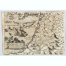
Quella Tavola E l'Antica Siria ch'Era destinta in dodici . . .
Very rare view of Holy Land published in the first edition of "Viaggio da Venetia, a Costantinopoli. Per Mare, e per Terra, & infieme quello di Terra Santa. Da G...
Date: Venice, Giacomo Franco, 1598
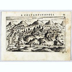
Jerusalem.
Very rare view of Jerusalem published in the first edition of "Viaggio da Venetia, a Costantinopoli. Per Mare, e per Terra, & infieme quello di Terra Santa. Da G...
Date: Venice, Giacomo Franco, 1598
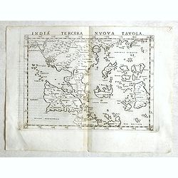
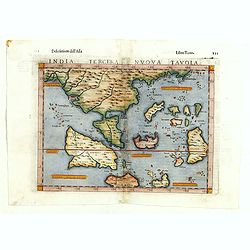
India Tercera Nuova Tavola.
Fine 1598 edition of this early map of South East Asia. Just to the west and south of Malacca, one will notice ‘Camatra’ (Sumatra) and Java. China with Canton in the ...
- $1000 / ≈ €850
Date: Venice, 1598
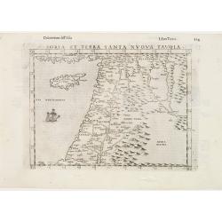
Soria et Terra Santa nuova tavola.
Early map of this classical map of the Holy Land, including Cyprus, prepared by Giovanni Botero. The copper plate was however later used by Giuseppe Rosaccio's expended e...
Date: Venice, 1598
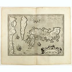
IAPONIAE INSULAE DESCRIPTIO.Ludoico Teisera auctore.
The map was based upon the manuscript draft supplied to Ortelius in about 1592 by the famous official Portuguese chart maker, Luis Teixeira , who was the cartographer t...
Date: Antwerp, 1598
Terra Sancta A Petro Laicstain perlustrata, et ab eius ore
Oriented to the east. Shows the shoreline from Beirut to Gaza. P. Laicksteen, a Dutch astronomer… collected topographic material on Palestine during his stay there in 1...
Date: Antwerp, 1598
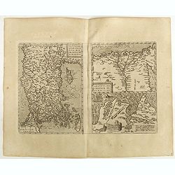
Natoliae Quae Olim Asia Minor, Nova de Scriptio / Carthaginis Celeberrimi Sinus Typus / Aegypti re Centior de Scriptio
Three detailed regional maps by Ortelius from his "Theatrum Orbis Terrarum", the world's first modern atlas.The first map covers Asia Minor, Cyprus and the East...
Date: Antwerp, 1598
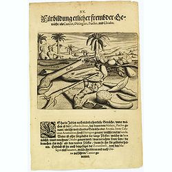
Plants, including the canior, diringuo, pucho and chiabe.
In the Indies there are many delightful plants, which include the ‘costus indicus’ (named by the Malays 'pucho') that has a wonderful aroma. Then there is the ‘cala...
Date: Frankfurt, 1598
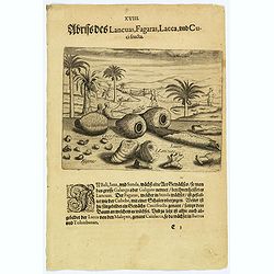
Illustrations of Lancuas, Fagaras, Lacca and Cuci fructa.
Common in Bali, Java and Sunda is a plant known as the great Galanga or Galigam. The natives, however, call it Lancuas. The fagaras, particularly found in Sunda, looks li...
- $80 / ≈ €68
Date: Frankfurt, 1598
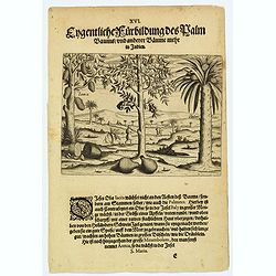
A picture of various trees including the palm tree.
The Jacca fruit grows only on the trunk of the tree, not on its branches, rather like the fruit of the palmates. Then there is a fruit that grows in abundance in Bali, wh...
- $80 / ≈ €68
Date: Frankfurt, 1598
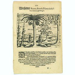
Pineapple, Bettel, palma dactylifera, Samaca & Mango.
These are all Indian fruits, of which the pineapple has the best flavour and aroma. The Bettel plant is also shown here climbing up long rods and canes, just as the peppe...
- $100 / ≈ €85
Date: Frankfurt, 1598
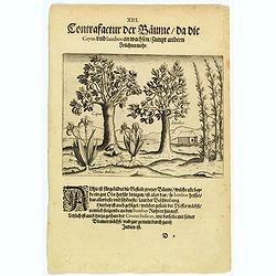
The trees that bear Cayus and Jambos and other plants.
Here are shown two trees that produce good fruits but it is the Jambos that is the best and most beautiful according to written accounts. Also shown is how the Perrer pla...
- $80 / ≈ €68
Date: Frankfurt, 1598
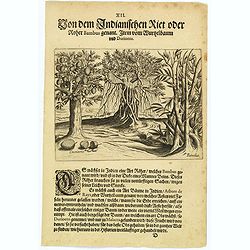
The bamboo, the tree of roots and the Durian fruit.
In India there is a kind of cane, known as Bambus, which has a stem as thick as a human leg. This is used for many things as it is light and yet strong. There is also a k...
- $80 / ≈ €68
Date: Frankfurt, 1598
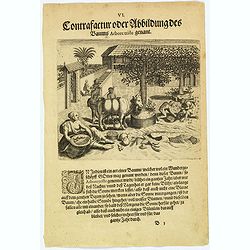
The extraordinary 'Abore Triste' tree of India.
In India there is an extraordinary tree, known as the 'Abore Triste', which is regarded as one of God's miracles. This tree flowers for a whole year but only at night tim...
- $80 / ≈ €68
Date: Frankfurt, 1598
Birds and fish seen during the voyage to India.
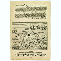
During their voyage to India many strange birds were seen, for example, the 'Garayos' that were the size of a chicken, the 'Rabos de Juncos' that are white and about the ...
- $100 / ≈ €85
Date: Frankfurt, 1598
India Tercera Nuova Tavola.
The 1598 edition of this early map of South East Asia. Just to the west and south of Malacca one will notice ‘Camatra’ (Sumatra) and Java. China with Canton in the up...
Date: Venice, 1598
The bird called 'Eeme' and other creatures of India.
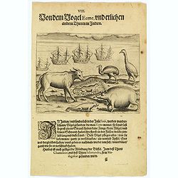
Especially on the island of Java and in India, a strange bird called an 'Eeme' is found. It is almost as large as an ostrich with strong and sturdy legs, but it has no to...
Date: Frankfurt, 1598
Some of the animals that are found in India.
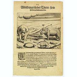
Although most elephants are found in Ethiopia, there are also many in India too. They are called 'Caffres' by the inhabitants and are slaughtered for their tusks, which t...
Date: Frankfurt, 1598
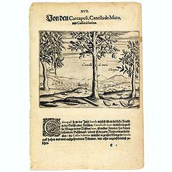
The carcapuli, canella de mato and cassia solutiva.
The ‘caarcapuli’ that grows on the island of Sunda is a tasty, cherry-sized fruit. The Canella de mato that grows in abundance in the forests of Java is wild cinnamon...
- $80 / ≈ €68
Date: Frankfurt, 1598
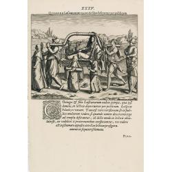
Quomodo Lusitanorum vxores & filiae deserrantur per publicum.
The way how the Portuguese carried a noble lady in India from Linschoten's famous voyages to the East of 1583-92 here published by De Bry the year after they first appear...
Date: Frankfurt, 1599
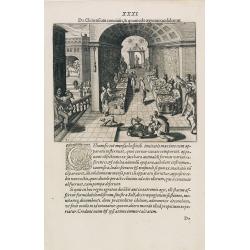
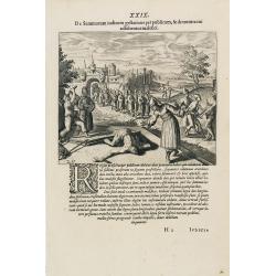
Funeral in China.
A scene of a funeral in China from Linschoten's famous voyages to the East of 1583-92, here published by De Bry the year after they first appeared as a separate book. Fro...
Date: Frankfurt, 1599
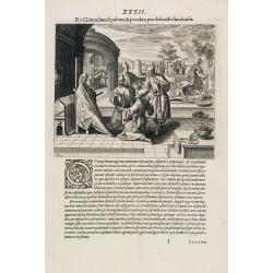
Feast of China.
A scene of a Chinese dinner feast from Linschoten's famous voyages to the East of 1583-92, here published by De Bry the year after they first appeared as a separate book....
Date: Frankfurt, 1599
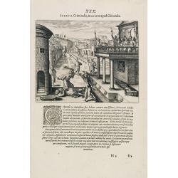
Punishment of a criminal in China.
Punishment of a criminal in China from Linschoten's famous voyages to the East of 1583-92, here published by De Bry the year after they first appeared as a separate book....
Date: Frankfurt, 1599
Punishment of China.
The Chinese way of a punishment from Linschoten's famous voyages to the East of 1583-92 here published by De Bry the year after they first appeared as a separate book. Fr...
Date: Frankfurt, 1599
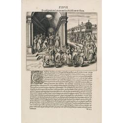
A Parade of Noblemen in China.
This famous and desirable scene from Linschoten's famous voyages to the East of 1583-92 is here published by De Bry the year after they first appeared as a separate book....
Date: Frankfurt, 1599
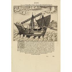
Naves Chinensibus usitatae velis arundineis & anchoris ligneis.
A Chinese vessel. Print taken from Linschoten's famous voyages to the East of 1583-92, here published by De Bry the year after they first appeared as a separate book. Fr...
Date: Frankfurt, 1599
XIX. Venatio Elephantum in Pegu. [How elephants are caught in Pegu]
How elephants are caught in Pegu. The king of Pegu had a particular method of transporting elephants. He had a great enclosure built of strong wooden posts, with a trap d...
Date: Frankfurt, 1599
XX. Festum Regis in Pegu Solenne. [The king of Pegu's festival]
The king of Pegu's festival. In Pegu there are many festivals. The most important one is known as Sapan Giachie. On that day, the king appeared, dressed in the most festi...
- $100 / ≈ €85
Date: Frankfurt, 1599
XXI. Festorum Quorundam Aliorum in Pegu. (Other festivities in the kingdom of Pegu]
Among their many festivals, the Peguans had a particular one called Sapan Daiche – the Festival of Water. The king arrived at a certain place where everyone sprinkled e...
- $100 / ≈ €85
Date: Frankfurt, 1599
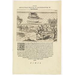
XXII. Sepulturae Regum et Sacerdotum in Pegu delineatio. (The funerals of kings and priests in Pegu)
When a king dies, his friends call for a special boat. This is a kind of double boat, like a catamaran, with a gilded roof overhead, under which is a gilded framework upo...
- $100 / ≈ €85
Date: Frankfurt, 1599
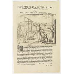
Seqvuntur Iam Icones ad Alteram Huius operis navigationem. . . (Water pump)
Illustration from seventh part of De Bry’s Petits Voyages, including Gasparo Balbi's voyage to Pegu via Syria in 1579-1588. The plate is showing a water pump driven by ...
- $100 / ≈ €85
Date: Frankfurt, 1599
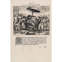
Lusitani in India deseruntur in Lecticis.
The way the Portuguese carried a nobleman in India from Linschoten's famous voyages to the East of 1583-92, here published by De Bry, the year after they first appeared a...
Date: Frankfurt, 1599
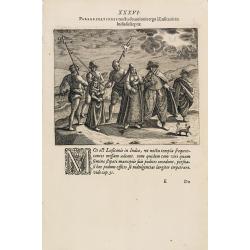
Peregrinationes noctu devotionis ergo à Lusitanis in India susceptae.
Showing Portuguese family in India from Linschoten's famous voyages to the East of 1583-92 here published by De Bry the year after they first appeared as a separate book....
Date: Frankfurt, 1599
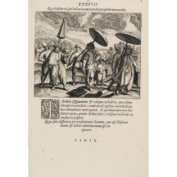
Quo habitu vulgus Lusitanorum in India per publicum incedat. (Portuguese citizens and soldiers in Goa)
This famous and desirable scene is showing comportment and dress of the Portuguese citizens and soldiers in East India as they appear in the streets from 1599. From Part ...
Date: Frankfurt, 1599
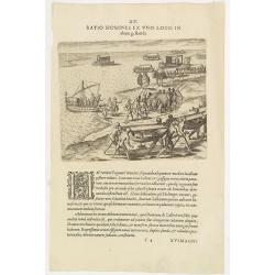
XV. Ratio Homines Ex Uno Loco In alium gestandi.
Scene in the kingdom of Pegu, now Myanmar, showing elephant, ships and locals.Theodore de Bry, a German engraver and book dealer, began a compilation of early voyages in ...
Date: Frankfurt, 1599
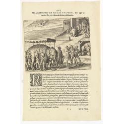
XVI. Magnificentiae Regis In Pegu, et Quomodo. . .
A scene in the kingdom of Pegu, now Myanmar, shows elephants, ships, and locals. Theodore de Bry, a German engraver and book dealer, began a compilation of early voyages ...
- $75 / ≈ €64
Date: Frankfurt, 1599
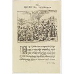
XVII. Proditorum in Pegu Supplicium.
Human torture in Pegu, now Myanmar. After his stay in the Indian city of Goa, Van Linschoten set out for Europe with a Portuguese return fleet in 1588. One of the ships w...
- $75 / ≈ €64
Date: Frankfurt, 1599
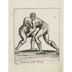
Lotatoref apud Turcaf (Turks wrestling)
Beautiful engraving of Turk's wrestling, copied after an illustration by Abraham de Bruijn, originally published in 1577 in Cologne.
Date: c. 1600
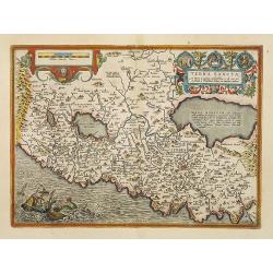
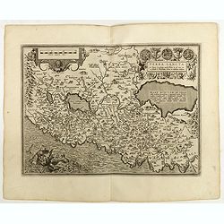
Terra Sancta.
This is the most modern of Ortelius' maps of the Holy Land. It focuses specifically on the Holy Land and is oriented with east of the top. Ortelius used as a model the wa...
Date: Antwerp, 1603
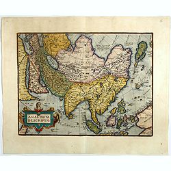
Asiae nova descriptio.
Ortelius' fine map of Asia well represents the continent at a time when Europeans were expanding their power in the Far East. The Indian subcontinent and Malaysian penins...
- $2250 / ≈ €1912
Date: Antwerp, 1603
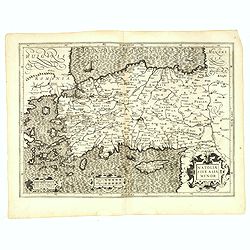
Natoliae Sive Asia Minor.
From the first edition. Map of Turkey, also depicting Cyprus.
Date: Amsterdam, 1606
Descriptio Regni Ormuzii / Ormus.
A lovely miniature map of the Kingdom of Ormus, published by Petrus Bertius, and published in Amsterdam at the beginning of the seventeenth century. With an attractive st...
- $450 / ≈ €382
Date: Amsterdam, Cornelis Claes, 1606
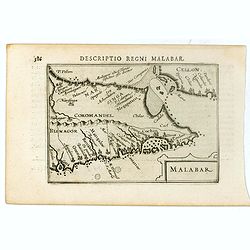
Malabar.
Very fine early miniature map of southern part of India and a part of Ceylon island. Title cartouche on the lower right corner.First published in 1598 in his Caert-Threso...
- $200 / ≈ €170
Date: Amsterdam, Cornelis Claes, 1606
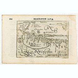
Iava Maior.
Very fine miniature map of Java, engraved by Benjamin Wright (1575-1613). This early map contains detailed geography and nomenclature around the northern coastline of the...
Date: Amsterdam, Cornelis Claes, 1606
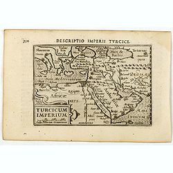
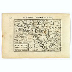
Descriptio Imperii Turcici / Turcicum Imperium.
A rare miniature map of the Arabian Peninsular. Title cartouche on the lower right corner.First published in 1598 in his Caert-Thresoor, the plates were executed by the m...
- $300 / ≈ €255
Date: Amsterdam, Cornelis Claes, 1606
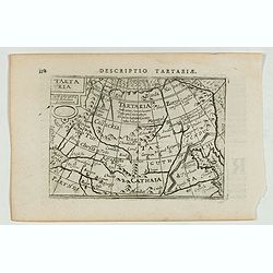
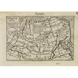
Descriptio Tartariae / Tartaria.
A rare miniature map of Tartary and China, showing the Great Wall. Title cartouche on the upper left corner.First published in 1598 in his Caert-Thresoor, the plates were...
- $300 / ≈ €255
Date: Amsterdam, Cornelis Claes, 1606
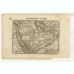
Descriptio Arabie / Arabia.
A rare miniature map of the Arabian Peninsular. The title cartouche on the lower right corner.First published in 1598 in his Caert-Thresoor, the plates were executed by t...
Date: Amsterdam, Cornelis Claes, 1606
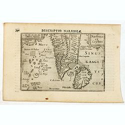
Descriptio Narsingae / Narsinga et Ceylon.
A rare miniature map of the southern part of India with Sri Lanka. The title cartouche on the upper right corner.First published in 1598 in his Caert-Thresoor, the plates...
- $350 / ≈ €297
Date: Amsterdam, Cornelis Claes, 1606
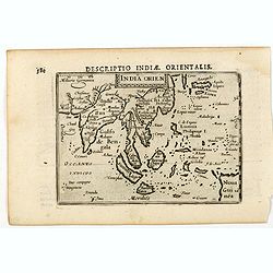
India Orien.
A miniature map showing India and the islands of Borneo, New Guinea, Sumatra, Java, etc.Korea as an enlonged peninsular and one town marked.First published in 1598 in his...
- $400 / ≈ €340
Date: Amsterdam, Cornelis Claes, 1606
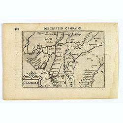
Descriptio Cambaiae.
A very decorative little map of northern India with Gujarat and the Indus river, bordering Pakistan. Naming major towns represented by symbols, major rivers, mountains, a...
- $100 / ≈ €85
Date: Amsterdam, 1606
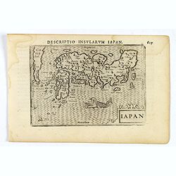
Iapon.
An attractive miniature map of Japan, published by Petrus Bertius, in Amsterdam at the beginning of the seventeenth century.The quirky map is shows the country in a disto...
- $250 / ≈ €212
Date: Amsterdam, 1606
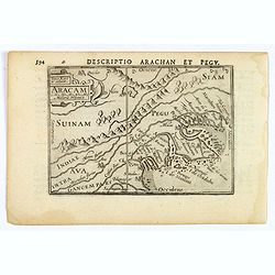
Aracam.
A rare miniature map of Thailand and Burma. Title cartouche on the upper left corner. First published in 1598 in his 'Caert-Thresoor', the plates were executed by the mos...
Date: Amsterdam, 1606
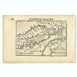
Malacca.
A nice miniature map of Malacca, A Malaysian state on the southern Malay peninsular, next to the Strait of Malacca. North is orientated to the left Published by Petrus B...
- $300 / ≈ €255
Date: Amsterdam, 1606
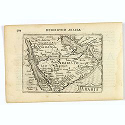
Arabia
A lovely miniature map the Arabian Peninsular, published by Petrus Bertius, and published in Amsterdam at the beginning of the seventeenth century. With an attractive s...
Date: Amsterdam, 1606
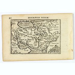
Persia.
A decorative miniature map of Persia, stretching from the Tigris River in the west to the Indus River in the east. As far north as the Caspian Sea. Published by Petrus B...
- $175 / ≈ €149
Date: Amsterdam, 1606
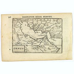
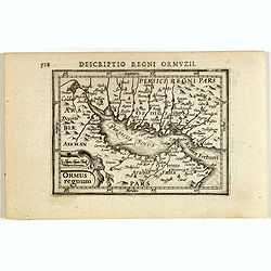
Ormus (Straits of Hormus)
A lovely miniature map of the Kingdom of Ormus, published by Petrus Bertius, and published in Amsterdam at the beginning of the seventeenth century. With an attractive st...
Date: Amsterdam, 1606
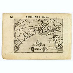
Bengala.
A lovely miniature map of a section of the Bay of Begal, published by Petrus Bertius, in Amsterdam at the beginning of the seventeenth century. There is a decorative stra...
Date: Amsterdam, 1606
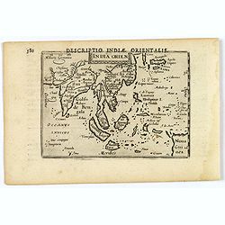
India Orientalis.
This lovely miniature map shows the East Indies, stretching from Persia to China and Japan, down to Java, and part of Papua new Guinea. Published by Petrus Bertius, in Am...
Date: Amsterdam, 1606
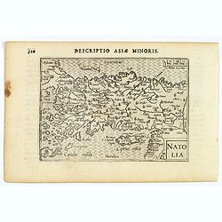
Natolia.
A miniature map of Turkish Natolia, published by Petrus Bertius in Amsterdam, at the beginning of the seventeenth century. This attractive small map features hatching in ...
- $150 / ≈ €127
Date: Amsterdam, 1606
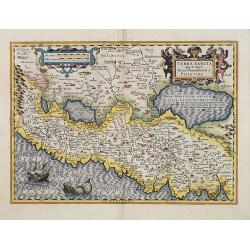
Terra Sancta quae in Sacris Terra Promissionis ol: Palestina.
Map of Palestine on both sides of the Jordan, the shore line running from Berithus (Beirut) to Gaza.Oriented to the east.Largely based on Ortelius 1584 map. In lower left...
- $675 / ≈ €574
Date: Amsterdam, 1606
Turcicum Imperium.
A really attractive miniature map of The Turkish Empire, as it was at the beginning of the seventeenth century. Published by Petrus Bertius in Amsterdam. The map stretche...
Date: Amsterdam, 1606
Descriptio Regni Ormuzii / Ormus.
A lovely miniature map of the Kingdom of Ormus, published by Petrus Bertius, and published in Amsterdam at the beginning of the seventeenth century. With an attractive st...
- $450 / ≈ €382
Date: Amsterdam, 1606
Asia.
A miniature map of the continent of Asia, published by Petrus Bertius in Amsterdam, at the beginning of the seventeenth century. An attractive small map featuring hatchin...
- $250 / ≈ €212
Date: Amsterdam, 1606
I. Delineatio convivii a Ternatensium rege Generali Neccio exhibiti.
This famous and desirable scene from Roelof Roelofsz's narrative of a voyage by J.C. van Neck to Ternate.Theodore de Bry, a German engraver and book dealer, began a compi...
- $100 / ≈ €85
Date: Frankfurt, Wolfgangi Richteri, 1607
Indiae Orientalis.
This map covers an area including India, part of Malaysia, Borneo and China.From the first French-text edition of Jodocus Hondius' Atlas Minor.Shortly after the publicati...
Date: Amsterdam, 1608
Asia.
Map of Asia with an oversized Korea and a curious shape for Japan, from the first French-text edition of Jodocus Hondius' Atlas Minor.Shortly after the publication of the...
Date: Amsterdam, 1608
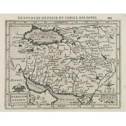
Persicum Regnum.
Early map of Persia, from the first French-text edition of Jodocus Hondius' Atlas Minor.Shortly after the publication of the big folio-atlases the need was apparently fel...
- $100 / ≈ €85
Date: Amsterdam, 1608
Chinae, olim Sinarum regionis. . .
The first printed map of China. It is signed by Ludovico Georgio, whose real name was Luis Jorge de Barbuda. He was a Portuguese Jesuit cartographer and besides that a sp...
- $6000 / ≈ €5099
Date: Antwerp, 1608
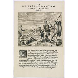
Milites in Bantam Gregarii Gum Suis armis. (Warriors of Bantam)
The warriors of Bantam carry both small and large shields made of leather, also swords or long lances with sturdy spear-heads. Their clothing is made with little square p...
- $75 / ≈ €64
Date: Frankfurt, 1609
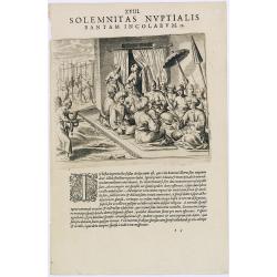
Solemnitas Nuptialis Bantam Incolarum. (A wedding ceremony in the city of Bantam)
When a young couple become engaged they do not leave their homes until the wedding takes place. On their wedding day they are dressed up and happy, and visited by all the...
- $75 / ≈ €64
Date: Frankfurt, 1609
Tartaria.
A miniature map showing China, Korea and Russia. Title cartouche on the upper left corner.First published in 1598 in his Caert-Thresoor, the plates were executed by the m...
Date: Amsterdam, 1609
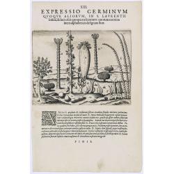
Expressio Germinum Quoque Aliorum, in S. Lavrentii.
Plants found in the island of S. Laurenti [Madagascar]. A’ denotes a tree with only a few twigs on the top. From this tree, canoes and boats are made. ‘B’ is a bush...
- $100 / ≈ €85
Date: Frankfurt, 1609
![XIX. Venatio Elephantum in Pegu. [How elephants are caught in Pegu]](/uploads/cache/29795-250x250.jpg)
![XX. Festum Regis in Pegu Solenne. [The king of Pegu's festival]](/uploads/cache/29796-250x250.jpg)
![XXI. Festorum Quorundam Aliorum in Pegu. (Other festivities in the kingdom of Pegu]](/uploads/cache/29797-250x250.jpg)
