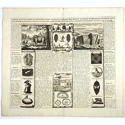
Carte qui contient la manière.. Niagara..
1720 CHATELAIN, H.A. - Carte qui contient la manière.. Niagara..
Date: The Hague 1720
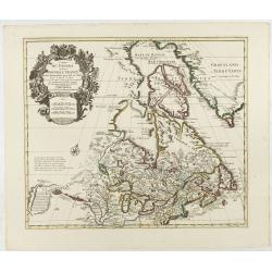
Carte du Canada ou de la Nouvelle France.
1730 COVENS, J. / MORTIER, C. - Carte du Canada ou de la Nouvelle France.
Date: Amsterdam, 1730
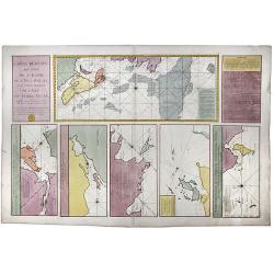
Carte Reduite, des Cotes De L'Acadie, de L'Isle Royale, et de la Partie Meridionale de L'Isle de Terre Neuve.
1753 LE DÉPÔT GÉNÉRAL DE LA MARINE / BELLIN, J.N. - Carte Reduite, des Cotes De L'Acadie, de L'Isle Royale, et de la Partie Meridionale de L'Isle de Terre Neuve.
Date: Paris, 1753
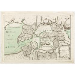
L’Isthme de L’Acadie, Baye du Beaubassin, en Anglois Shegnekto, environs du Fort Beausejour
1755 LE ROUGE, G.-L. - A Military map of the Acadian Isthmus of Chignecto, showing the area around Fort Beauséjour / Fort Cumberland, Baye du Beaubassin, and the approach...
Date: Paris, 1755
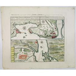
Vorstellung Einiger Gegenden und Plaetze in Nord-America unter Franzoesisch und Englische Jurisdiction Gehoerig zu Finden bey den Homaennischen Erben in Nurnberg Ao. 1756.
1756 HOMANN HEIRS - Vorstellung Einiger Gegenden und Plaetze in Nord-America unter Franzoesisch und Englische Jurisdiction Gehoerig zu Finden bey den Homaennischen Erb...
Date: Nuremberg, 1756
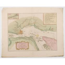
Quebek de hoofdstad van Kanada.
1759 TIRION, I. - Tirion's detailed plan of the Siege of Quebec in 1759, at the outset of the French & Indian War
Date: Amsterdam, 1759

The Coast of New Found Land From Salmon Cove to Cape Bonavista. . . [together with] The Coast of New Found Land from Cape-Raze to Cape St-Francis.
1767 MOUNT & PAGE, T. / BOULTER GRIERSON - The Coast of New Found Land From Salmon Cove to Cape Bonavista. . . [together with] The Coast of New Found Land ...
Date: Dublin, 1767
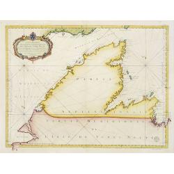
Carte Réduite De La Partie Septentrionale De L'' Isle De Terre Neuve..
1767 BELLIN, J.N. - Carte Réduite De La Partie Septentrionale De L'' Isle De Terre Neuve..
Date: Paris, 1767
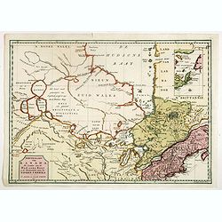
Nieuwe kaart van Kanada . . .
1769 TIRION, I. - Nieuwe kaart van Kanada . . .
Date: Amsterdam, 1769
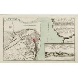
Plan der Stadt Quebec Haupstadt in Neu Franckreich oder Canada.
1770 RASPISCHE BUCHHANDLUNG - Plan der Stadt Quebec Haupstadt in Neu Franckreich oder Canada.
Date: Nurnberg, 1770

[Haida Gwaii,] Baye Swallow . . . / Havre Byron /Côté septentrional de la plus grande des Isles de la Reine Charlotte. . . .
1774 COOK, Captain J. - Map of Swallow's Bay and a coastline profile of the Queen Charlotte Islands and Captain Byron's Heaven
Date: Paris, 1774
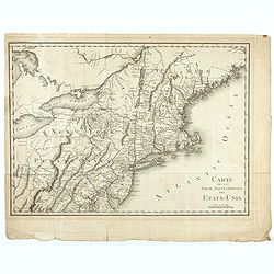
Carte de la partie septentrionale des Etats Unis..
1801 TARDIEU, P.F. - Carte de la partie septentrionale des Etats Unis..
Date: Paris, 1801

[Canadian Indians ].
1827 FERRARIO, G. - [Canadian Indians ].
Date: Milan, 1827

[Canadian Indian traditional garments ].
1827 FERRARIO, G. - [Canadian Indian traditional garments ].
Date: Milan, 1827

[ Niagara Falls ]
1827 FERRARIO, G. - [ Niagara Falls ]
Date: Milan, 1827
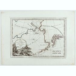
Le Coste Nord Ovest Dell'America e Nord Est dell'Asia Delineate sulle ultime Osservazioni del Cap. Cook
1839 CASSINI, G.M. - Cassini’s splendid early map of Cook's exploration of the Bering Strait
Date: Rome, Calcography, 1798-before 1839
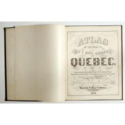
Atlas of the city and county of Quebec from actual surveys, based upon the cadastral plans deposited in the office of the Department of Crown Lands.
1879 HOPKINS, H.W. - This scarce city atlas of Quebec is illustrated with 18 hand-colored maps made by Henry Whitmer
Date: Provincial Surveying and Pub. Co., Walter, S, MacCormac, manager,1879
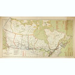
Map of the Dominion of Canada.
1914 ROCHE, W.J / CORY, W.W - Map of the Dominion of Canada.
Date: 1914
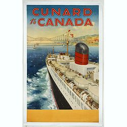
Cunard to Canada.
1930 TURNER, C.E - Cunard to Canada.
Date: England, ca. 1930
