Please login to see price!.
Subscribe to be notified if similar examples become available.
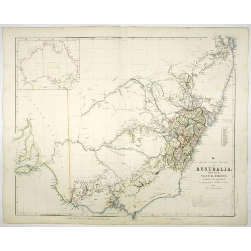
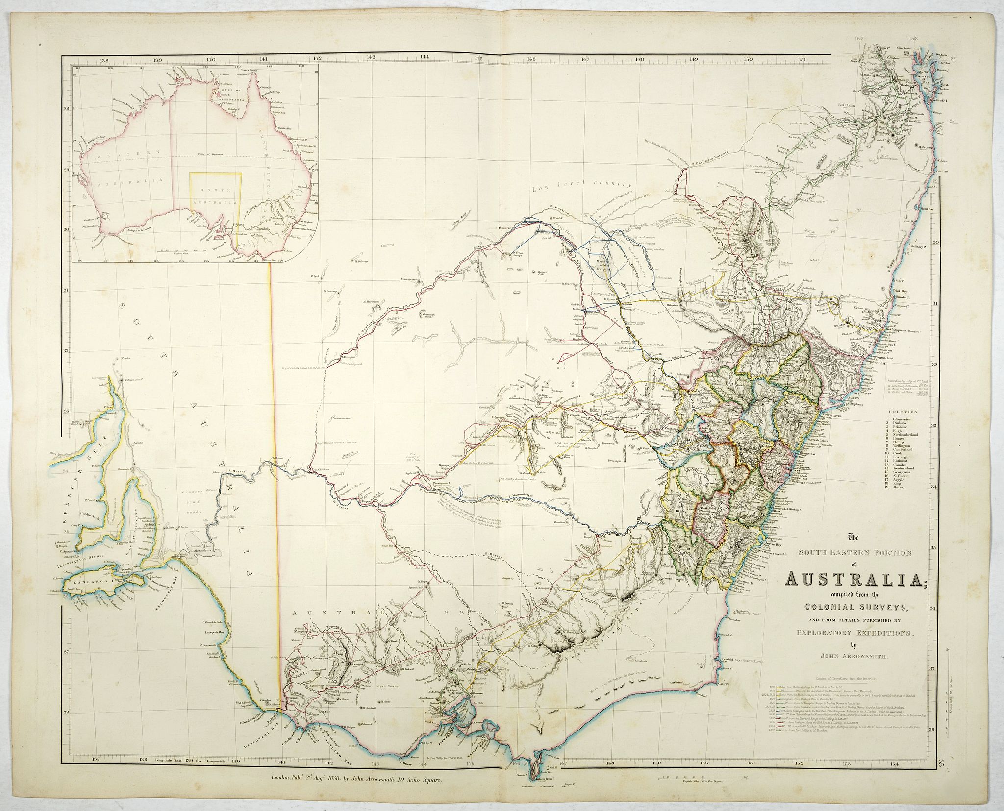
The South Eastern portion of Australia compiled from the Colonial surveys, and from details furnished by exploratory expeditions by John Arrowsmith. |
||||||||||||||||||||
|
||||||||||||||||||||
|
|
||||||||||||||||||||
|
Selling price: $...
Please login to see price! Sold in 2017 Missed this item! Be the first to get notified about our newly added listings. Add your name to our mailing list. Feel free to contact us if you have a question about this item. |
Virtual Collection - Save and collect this or any of your favorite items in one place.
If you want to save the items permanently, please sign in or create account first. |
|||||||||||||||||||
Description
Early 1838 state of this important map of the South Eastern portion of Australia. By 1839 John Arrowsmith had produced one of his replacement maps, "The South Eastern portion of Australia, compiled from the Colonial Surveys and from details furnished by Exploratory Expeditions". This map covers almost the same area as Arrowsmith's Discoveries in Australia, that is, from the Brisbane region south to Spencer Gulf in South Australia, but at the larger scale of 1:2 660 000.
Two degrees of longitude are lost at the left of the map with the result that the Eyre Peninsula of South Australia is not included in this map. The map takes the same plate number 35 in the London Atlas, indicating that it was meant to replace the 'Discoveries' map. An inset of the continent replaces that of the Colony of Western Australia in the 'Discoveries' map. There is no inset showing Australia's regional setting. It appears that Arrowsmith realised early in the life of the 'Discoveries' map that it would be insufficient for the detail he wished to incorporate. The abandoning of the earlier title supports this view.
This new map had a life of 20 years from 1838 until 1858 and in this time it went through twelve states. The principal changes are the defining of the major river systems of the south-east region of Australia, and the development of settlement through the southern part of New South Wales which in 1851 became the colony of Victoria. The coastal areas of New South Wales proper are explored and settled but the hinterland remains undeveloped. The changes in the south-east area of South Australia are minimal and confined to the coastal areas of the Fleurieu Peninsula.
This map also appeared in two different states in the Parliamentary Papers of 1852 and 1853 where the map was updated to show the location of Gold Fields in New South Wales (Further papers, 1852 and 1853). It remained one of Arrowsmith's most important depictions of south-east Australia.
This map by the nephew of Aaron Arrowsmith first appeared in 1832 and was reissued several times. The present issue appeared in Arrowsmith's London Atlas of Universal Geography (1834).
More about J.Arrowsmith [+]
FAQ - Guarantee - Shipping
Buying in the BuyNow Gallery
This item is available for immediate purchase when a "Add to Cart" or "Inquire Now" button is shown.
Items are sold in the EU margin scheme
Payments are accepted in Euros or US Dollars.
Authenticity Guarantee
 We provide professional descriptions, condition report (based on 45 years experience in the map business)
Paulus Swaen warrants the authenticity of our items and a certificate of authenticity is provided for each acquired lot.
Condition and Coloring
We indicate the condition of each item and use our unnique HiBCoR grading system in which four key items determine a map's value: Historical Importance, Beauty, Condition/Coloring and Rarity.
Color Key
We offer many maps in their original black and white condition. We do not systematically color-up maps to make them more sellable to the general public or buyer.
Copper engraved or wood block maps are always hand colored. Maps were initially colored for aesthetic reasons and to improve readability. Nowadays, it is becoming a challenge to find maps in their original colors and are therefor more valuable.
We use the following color keys in our catalog:
Original colors; mean that the colors have been applied around the time the map was issued.
Original o/l colors; means the map has only the borders colored at the time of publication.
Colored; If the colors are applied recently or at the end of the 20th century.
Read more about coloring of maps [+]
Shipping fee
A flat shipping fee of $ 30 is added to each shipment by DHL within Europe and North America. This covers : International Priority shipping, Packing and Insurance (up to the invoice amount).
Shipments to Asia are $ 40 and rest of the world $50
We charge only one shipping fee when you have been successful on multiple items or when you want to combine gallery and auction purchases.
Read more about invoicing and shipping
FAQ
Please have a look for more information about buying in the BuyNow gallery
Many answers are likely to find in the general help section.
Virtual Collection
![]()
With Virtual Collection you can collect all your favorite items in one place. It is free, and anyone can create his or her Virtual map collection.
Unless you are logged in, the item is only saved for this session. You have to be registed and logged-in if you want to save this item permanently to your Virtual Collection.
Read More[+]
Register here, it is free and you do not need a credit card.
Add this item to
Virtual Collection
or click the following link to see my Virtual Collection.
| Digital Image Download | |
|
Paulus Swaen maintains an archive of most of our high-resolution rare maps, prints, posters and medieval manuscript scans. We make them freely available for download and study. Read more about free image download |
Click the image for a free small image download. |
In accordance with the EU Consumer Rights Directive and habitually reside in the European Union you have the right to cancel the contract for the purchase of a lot, without giving any reason.
The cancellation period will expire 14 calendar days from the day after the date on which you or a third party (other than the carrier and indicated by you) acquires, physical possession of the lot. To exercise the right to cancel you must inform Paulus Swaen Inc, of your decision to cancel this contract by a clear statement (e.g. a letter sent by post, or e-mail (amsterdam@swaen.com).
To meet the cancellation deadline, it is sufficient for you to send your communication concerning your exercise of the right to cancel before the cancellation period has expired.
