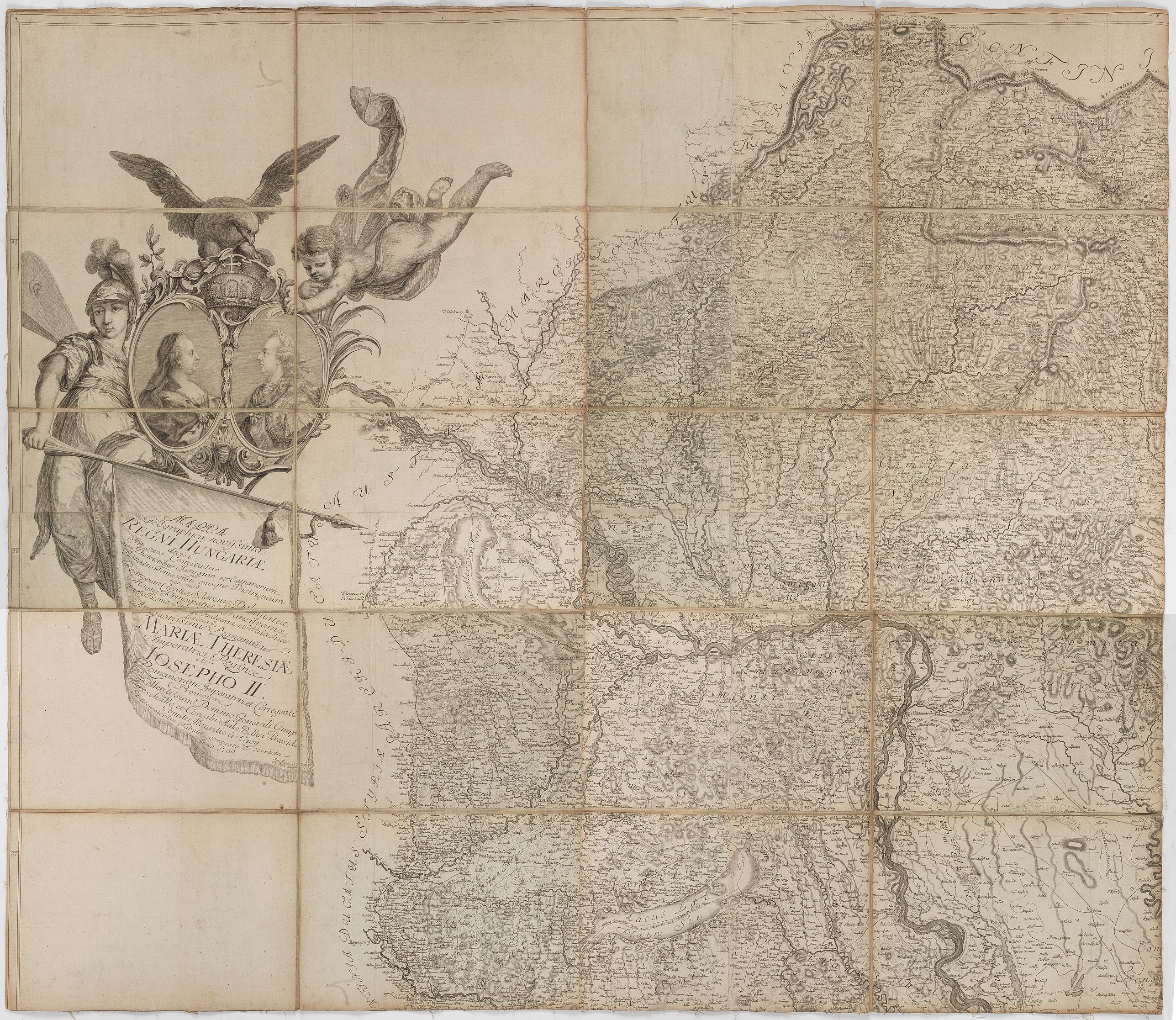
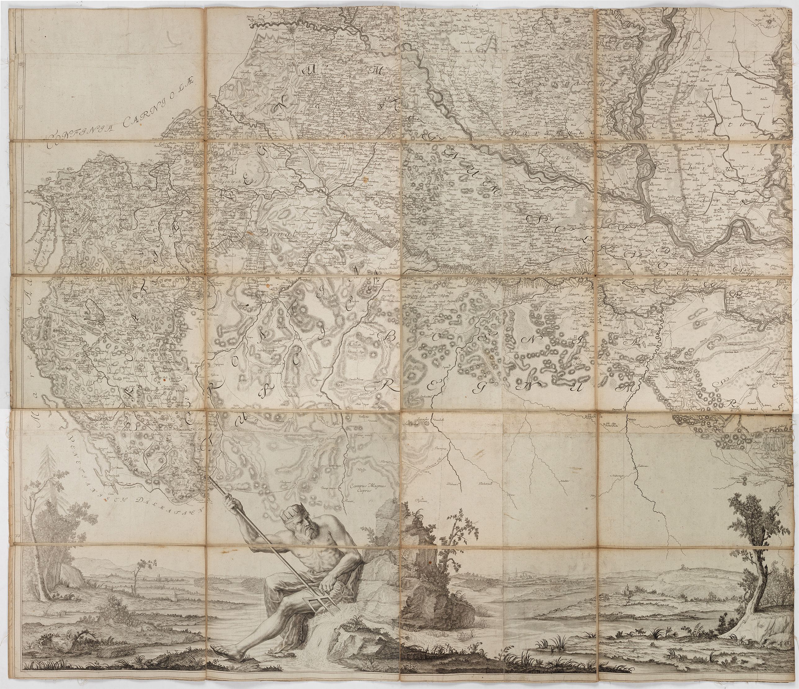
1769 Müller Ignácz - This 4-sheet wall map of Hungary stood, for roughly two decades, as the most authoritative general map of the kingdom available to the Habsburg administration
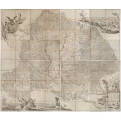
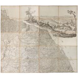
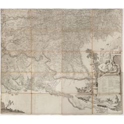
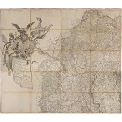
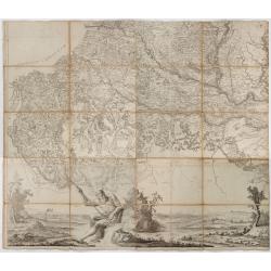
Mappa Geographica novissima Regni Hungariae divisi in suos Comitatus cum Districtibus Jazygum et Cumanorum, Banatus Temesiensis ejusque Districtuum nec non Regnorum Croatiae, Slavoniae, Dalmatiae, Magni Principatus Transsylvaniae… |
||||||||||||||||||||
|
||||||||||||||||||||
|
|
||||||||||||||||||||
$17500 / ≈ €15086This item is available for immediate sale! Questions before Buying ?
We are happy to answer your questions. |
My Collection +
Add this or any of your favorite items in one place. If you want to save the items permanently, you have to sign in or create an account first.   Add/Remove
 |
|||||||||||||||||||



Description
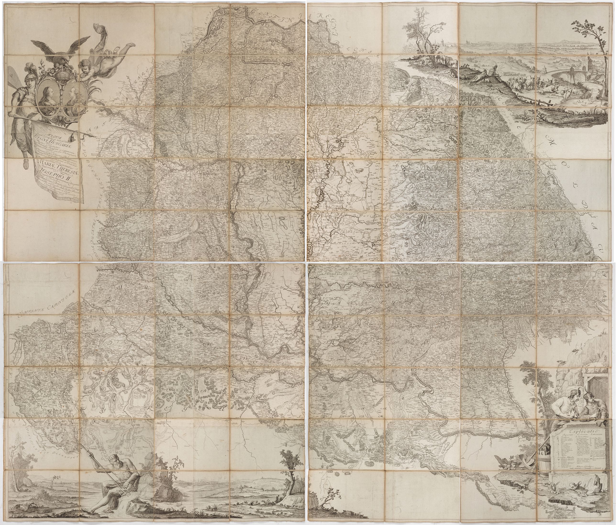
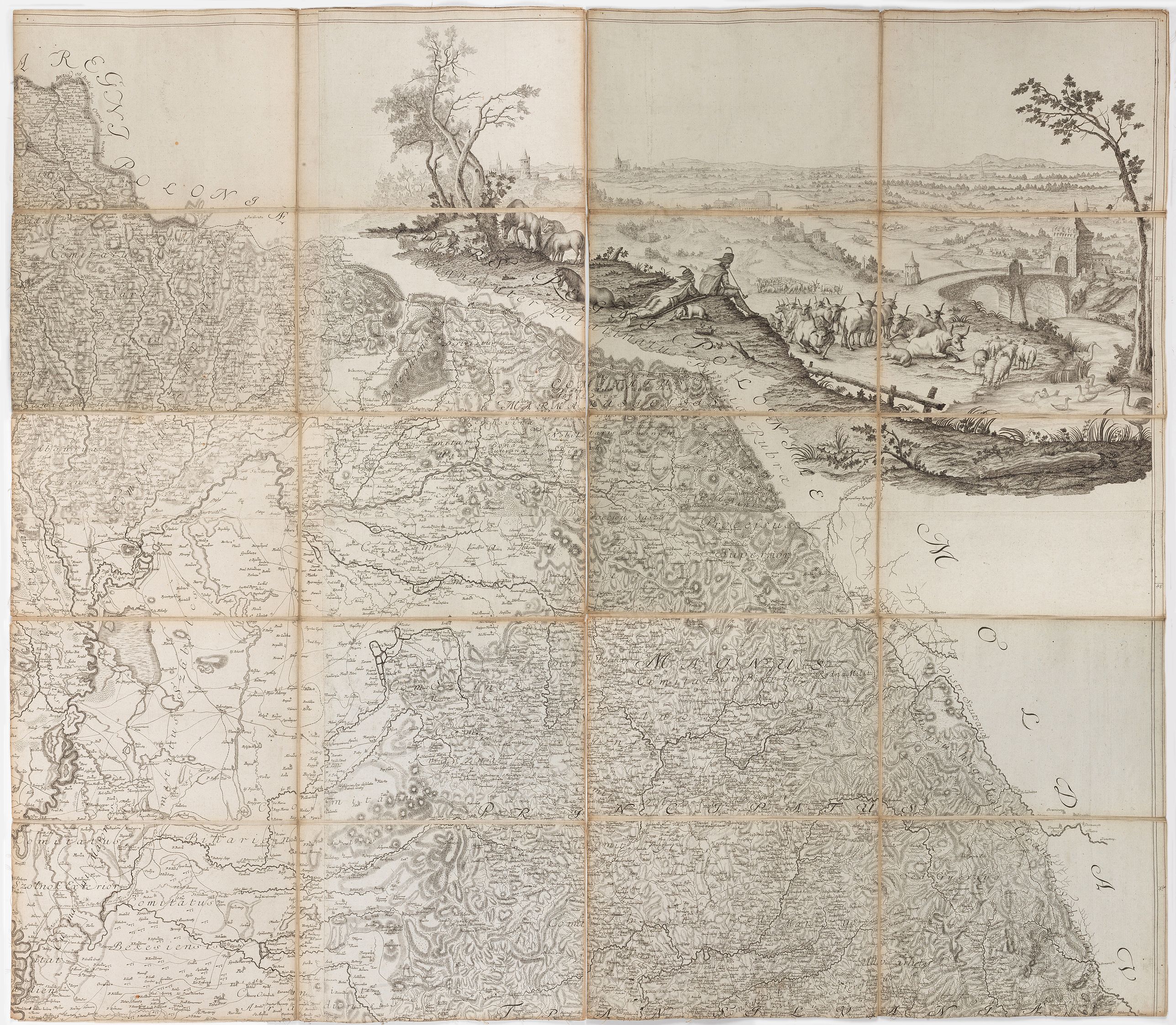
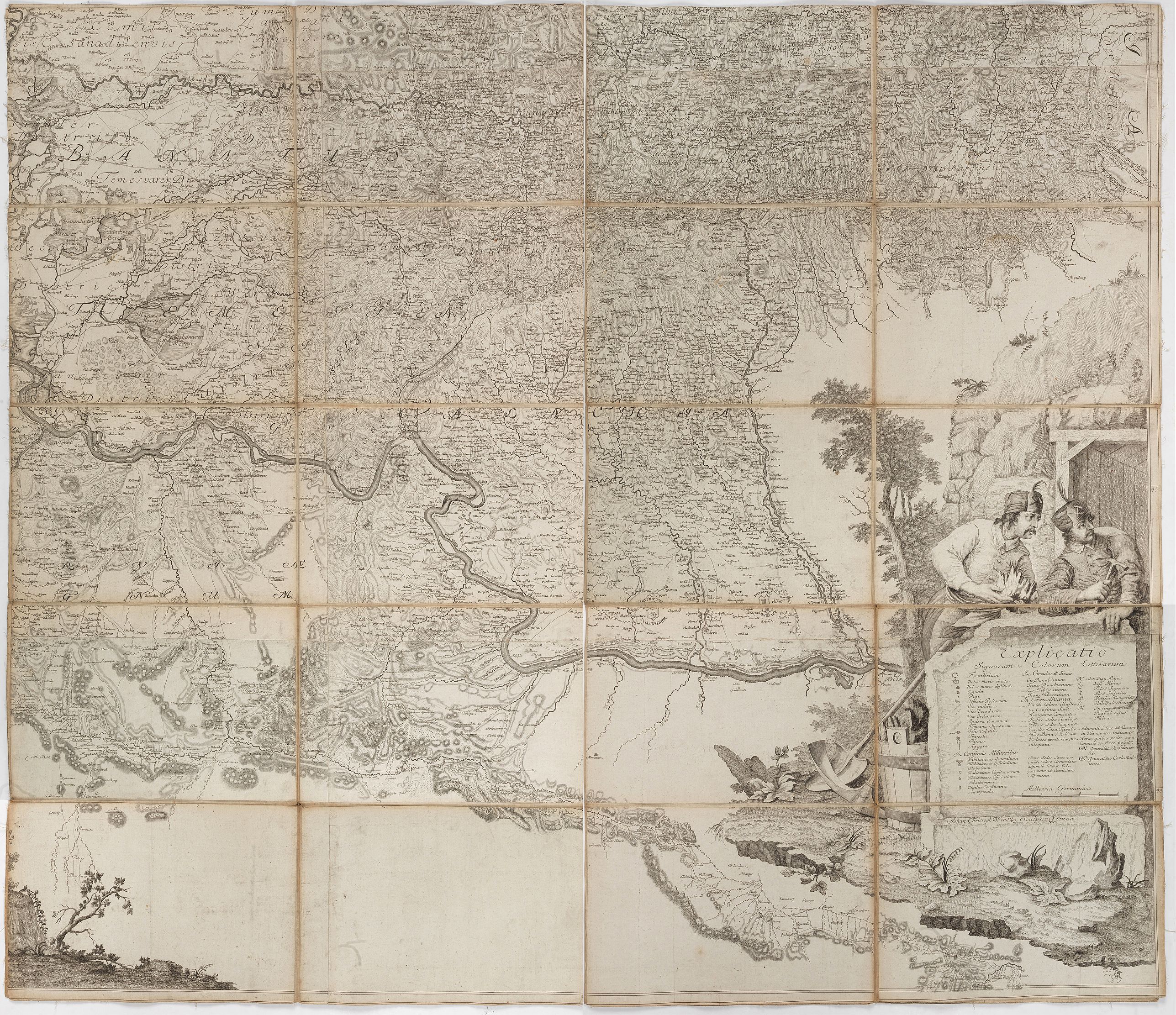
The "Mappa Geographica novissima Regni Hungariae" of 1769 occupies a pivotal place between two eras of Hungarian cartography: it closed out more than half a century of piecemeal county- and district-level survey work initiated under Sámuel Mikoviny, and it stood, for roughly two decades, as the most authoritative general map of the kingdom available to the Habsburg administration, before being superseded by the first systematic triangulated survey of the Josephine era. Its combination of technical advance, restricted circulation, and imposing physical scale — twelve sheets forming a wall map over two meters across — makes surviving complete examples significant survivals of eighteenth-century Central European state cartography. The map was engraved by Johann Christoph Winkler, a renowned Viennese engraver. The printed copies were treated confidentially, and the number of copies published is unknown. The map was printed on 12 different-sized sections that combine to form a map with an internal size of 241.0 x 203.5 cm. The largest section measures 98 x 68 cm, which is a great rarity, and its paper was made in Volkersthausen on the shores of Lake Constance for this purpose. This example was contemporaneously intersected and pasted on linen on 4 sheets. If joined, the total size is 204 x 244 cm.
The title states that the map was compiled and corrected from the most exact surveys available, completed in 1769, and edited by Ignác Müller, described in his own imperial commission as Quartermaster-General to His Imperial Majesty. The plates were engraved by the well-known Viennese copper engraver Johann Christoph Winkler, and according to one period reference, an early issue of the sheets the "Mappa Geographica novissima Regni Hungariae" of 1769 occupies a pivotal place between two eras of Hungarian cartography: it closed out more than half a century of piecemeal county- and district-level survey work initiated under Sámuel Mikoviny, and it stood, for roughly two decades, as the most authoritative general map of the kingdom available to the Habsburg administration, before being superseded by the first systematic triangulated survey of the Josephine era.
The baroque beauty of its drawing, form, and graphic decorative elements also makes it stand out from similar works of the time. Its combination of technical advance, restricted circulation, and imposing physical scale — forming a wall map over two meters across — makes surviving complete examples significant survivals of eighteenth-century Central European state cartography.
Historical Background and the Genesis of the Commission
Before Müller's map, the last cartographic survey of the entire kingdom of comparable ambition had been undertaken more than two centuries earlier. The Tabula Hungariae, the earliest surviving printed map of the Kingdom of Hungary, is traditionally credited to the Hungarian cleric Lázár deák and was produced before 1528; it was inscribed on UNESCO's Memory of the World Register in 2007.
In the intervening two hundred years, no state-sponsored general map of Hungary of similar authority had been completed. The immediate eighteenth-century predecessor to Müller's map was the 1709 wall map compiled by the surveyor-engineer Johann Christoph Müller — no direct relation to Ignác Müller, though the shared surname has occasionally caused confusion in the antiquarian trade.
Johann Christoph Müller had been commissioned in 1706 to produce a large-scale general map of Hungary based on his own field surveys rather than on compiled secondary sources, a highly regarded innovation at the time; the resulting four-sheet wall map, engraved by Johann Andreas Pfeffel and Christian Engelbrecht and later reissued in reduced form by the Homann firm of Nuremberg, covered the territories of present-day Austria, Hungary, Slovakia, Slovenia, Croatia, Bosnia-Herzegovina, Serbia, Bulgaria, Romania, and Ukraine.
By the middle of the eighteenth century, however, this map's known deficiencies — inevitable given the scale of the survey task and the passage of six decades — no longer met the operational requirements of the Hofkriegsrat, the Austrian crown's central military administration.
A new survey was accordingly ordered in 1764. Considerable groundwork for the project already existed: the military engineer and surveyor Sámuel Mikoviny had, before his death in 1750, produced a series of county maps covering more than fifty Hungarian counties, along with regional overview maps of several parts of the kingdom, and further cartographic material had been assembled at the direction of Field Marshal Count András Hadik, then president of the Hofkriegsrat.
What this material still required was a single cartographic officer — one familiar with the languages of the kingdom's population and capable of organizing, verifying, surveying in the field where necessary, and drafting a unified compilation — to bring it together into one coherent, authoritative map. Mikoviny's county survey had itself been incomplete at his death: the counties of Zala, Heves, Hajdú, Szabolcs, Szatmár, and Szilágy, together with the seventeen counties of Transylvania, were missing and had to be reconstructed from smaller-scale regional maps, very likely supplemented by fresh fieldwork.
As a precedent, the results of the work of Sámuel Mikoviny: the series of maps made of more than 50 counties, overview maps of certain parts of the country, and the map material collected by order of the legendary Field Marshal András Hadik, the president of the Court War Council, awaited the organizing, systematizing, surveying, and cartographic activities of a suitably prepared cartographer who also knew the language of the country's population. The result was ultimately the creation we know as the Müller map.
According to László Bendefy ( Geodézia és Kartográfia, 26.évf. 1974., p. 122-132. ): After the Lázár map ( "Tabula Hungariae...", 1528 ) was made during the Dózsa Peasants' War ( 1514 ), there was no mapping of national importance in our country for almost two centuries. The map made by Johann Christoph Müller in 1709, the map of Hungary, due to its shortcomings, no longer met the needs of the Court War Council (Hofkriegsrat) from the mid-18th century. Therefore, a new map was ordered in 1764.
In 1764, an independent mapping group was assigned to his command, and then he was assigned to the cartographic department under the direction of Field Marshal Franz Moritz Lacy. Here, he was tasked by the Court War Council on May 13, 1764, with preparing a new map of Hungary. Using the available material (primarily Mikoviny's county maps and the collected county maps), his group of cartographers prepared the overview map of our country in four and a half years. We can judge the extent of the work done by noting that, at the time of Mikoviny's death in 1750, the series of county maps he had compiled was incomplete. The map of Zala, Heves, Hajdú, Szabolcs, Szatmár and Szilágy counties, as well as the 17 Transylvanian counties, was missing.
FAQ - Guarantee - Shipping
This item is available for immediate purchase when a "Add to Cart" or "Inquire Now" button is shown.
Items are sold in the EU margin scheme
Payments are accepted in Euros or US Dollars.
Authenticity Guarantee
 We provide professional descriptions, condition report (based on 45 years experience in the map business)
Paulus Swaen warrants the authenticity of our items and a certificate of authenticity is provided for each acquired lot.
Condition and Coloring
We indicate the condition of each item and use our unnique HiBCoR grading system in which four key items determine a map's value: Historical Importance, Beauty, Condition/Coloring and Rarity.
Color Key
We offer many maps in their original black and white condition. We do not systematically color-up maps to make them more sellable to the general public or buyer.
Copper engraved or wood block maps are always hand colored. Maps were initially colored for aesthetic reasons and to improve readability. Nowadays, it is becoming a challenge to find maps in their original colors and are therefor more valuable.
We use the following color keys in our catalog:
Original colors; mean that the colors have been applied around the time the map was issued.
Original o/l colors; means the map has only the borders colored at the time of publication.
Colored; If the colors are applied recently or at the end of the 20th century.
Read more about coloring of maps [+]
Shipping fee
A flat shipping fee of $ 30 is added to each shipment by DHL within Europe and North America. This covers : International Priority shipping, Packing and Insurance (up to the invoice amount).
Shipments to Asia are $ 40 and rest of the world $50
We charge only one shipping fee when you have been successful on multiple items or when you want to combine gallery and auction purchases.
Read more about invoicing and shipping
FAQ
Please have a look for more information about buying in the BuyNow gallery
Many answers are likely to find in the general help section.
My Collection+

With My Collection+ you can collect all your favorite items in one place. It is free, and anyone can create his or her virtual collection.
Unless you are logged in, the item is only saved for this session. You have to be registed and logged-in if you want to save this item permanently to My Collection+. Read More[+]
Register here, it is free and you do not need a credit card.
Add this item to My Collection+ or click the following link to see My Collection+.
|
Digital Image Download Paulus Swaen maintains an archive of most of our high-resolution rare maps, prints, posters and medieval manuscript scans. We make them freely available for download and study. Read more about free image download |
Click the image for a free small image download. |
YOUR RIGHT TO CANCEL THE PURCHASE OF A LOT
In accordance with the EU Consumer Rights Directive and habitually reside in the European Union you have the right to cancel the contract for the purchase of a lot, without giving any reason.
The cancellation period will expire 14 calendar days from the day after the date on which you or a third party (other than the carrier and indicated by you) acquires, physical possession of the lot. To exercise the right to cancel you must inform Paulus Swaen Inc, of your decision to cancel this contract by a clear statement (e.g. a letter sent by post, or e-mail.
To meet the cancellation deadline, it is sufficient for you to send your communication concerning your exercise of the right to cancel before the cancellation period has expired.
