-800x800.jpg)
-250x250.jpg)


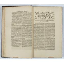
Atlas van Zeevaert en Koophandel door de Geheele Weereldt. |
||||||||||||||||||||
|
||||||||||||||||||||
|
|
||||||||||||||||||||
This item is available for immediate sale
65000.00
|
My Collection +
Add this or any of your favorite items in one place. If you want to save the items permanently, you have to sign in or create an account first. |
|||||||||||||||||||
Description
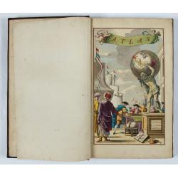
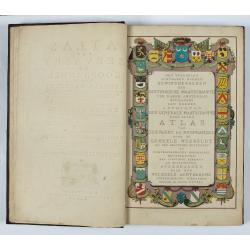
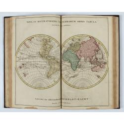
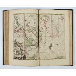
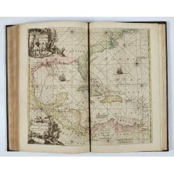
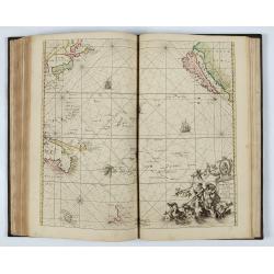
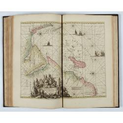
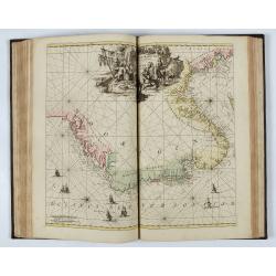
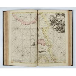
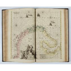
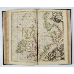
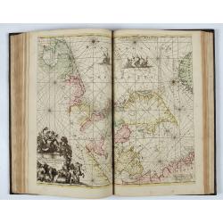
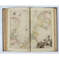
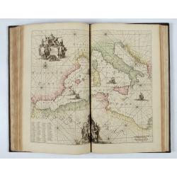
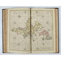
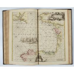
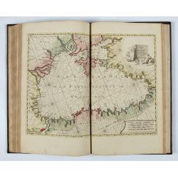
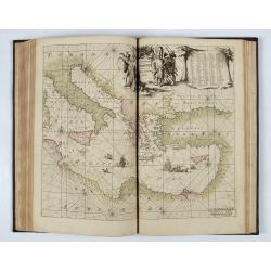
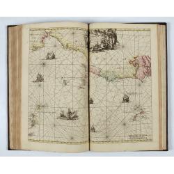
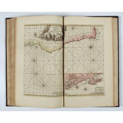
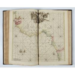
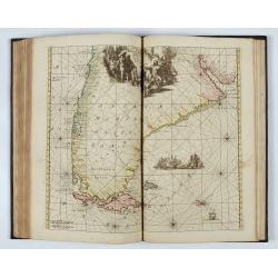
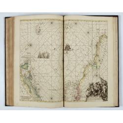
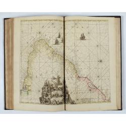
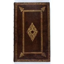
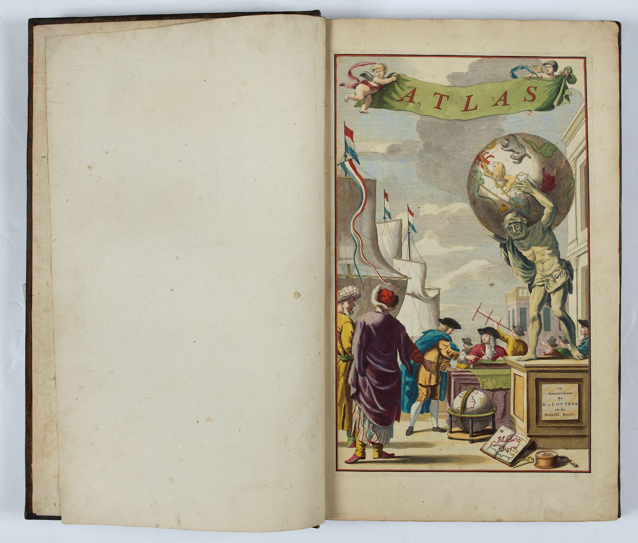
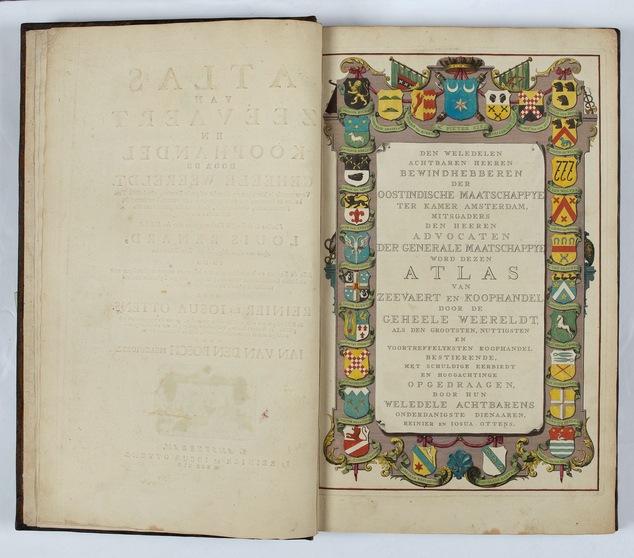
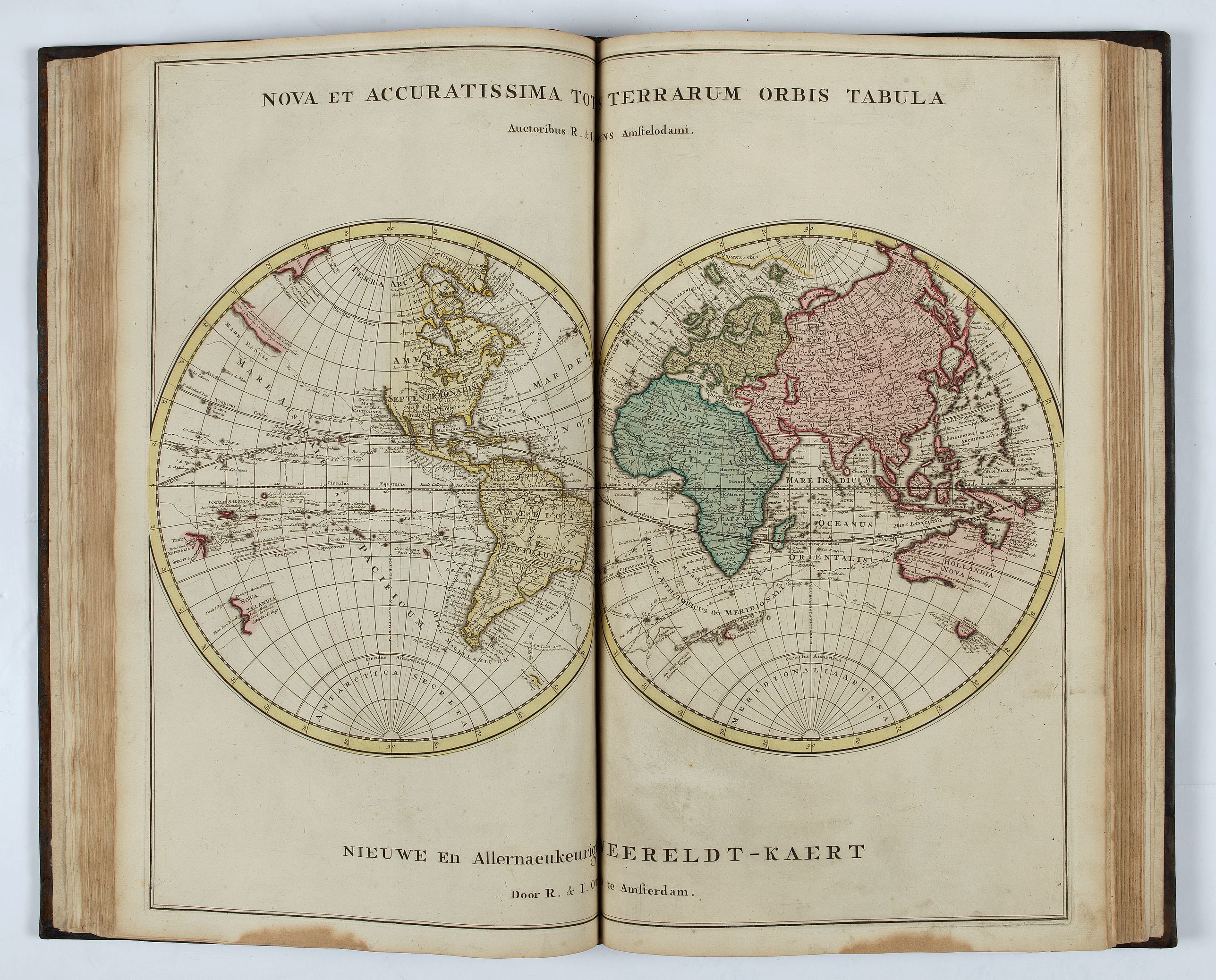
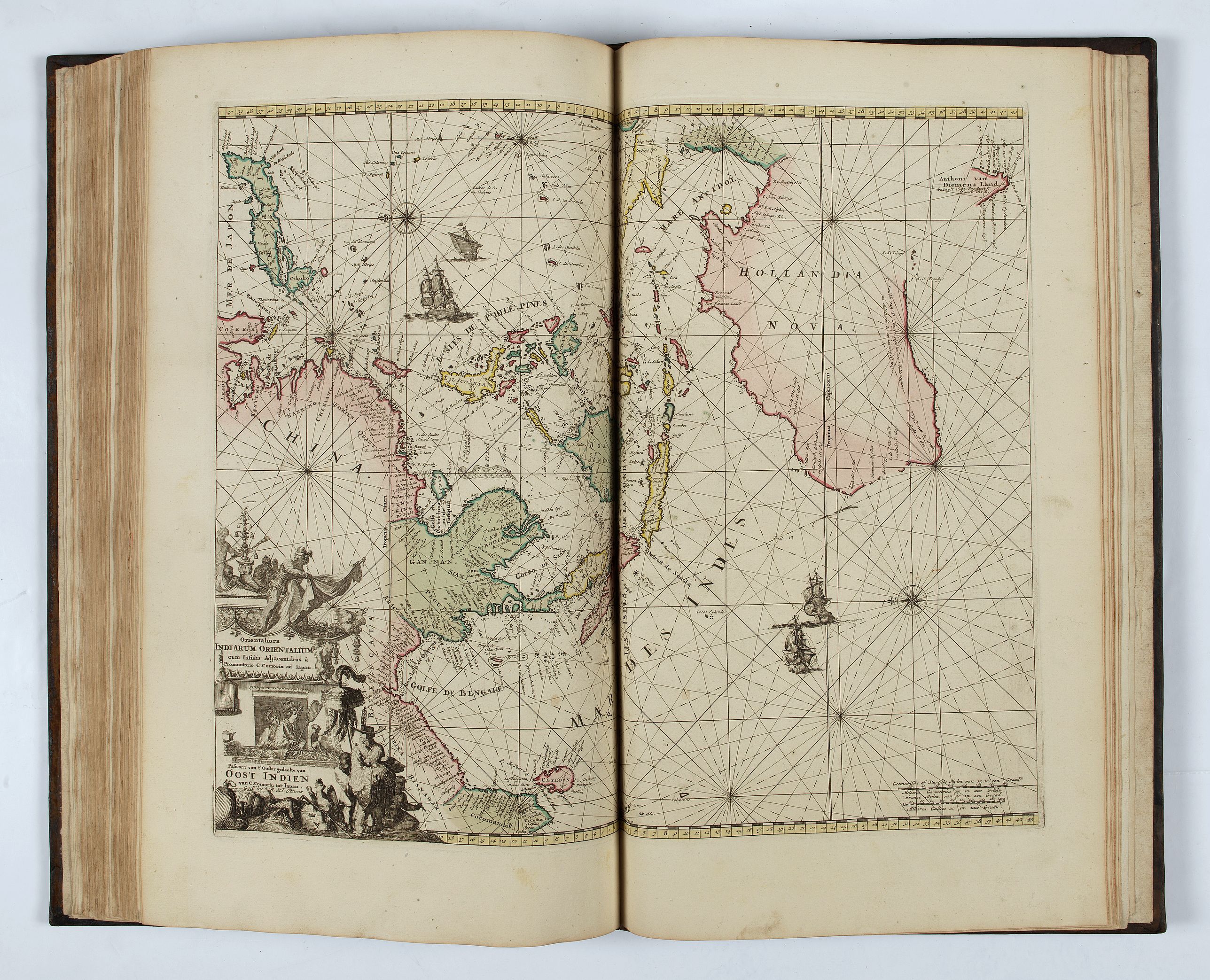
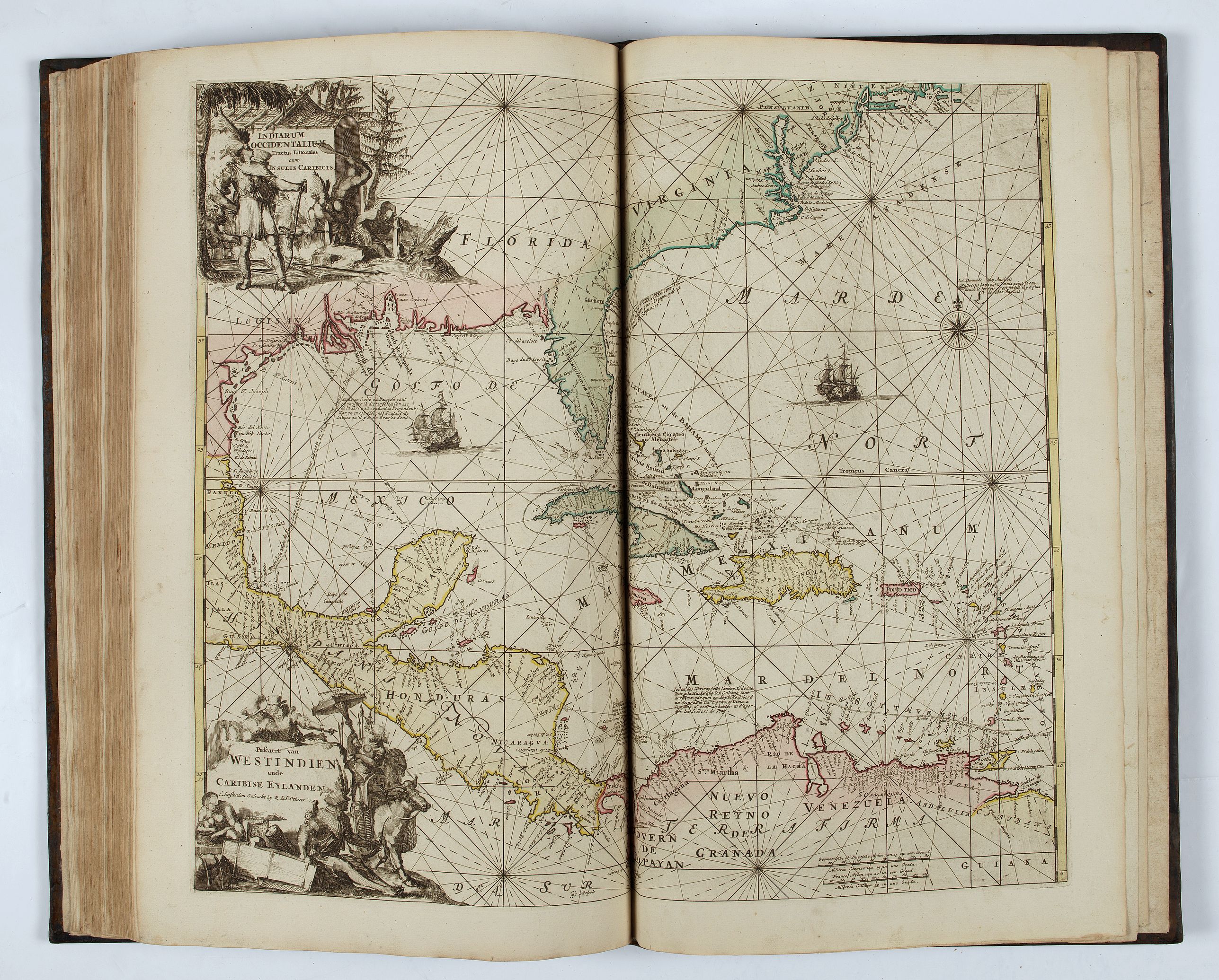
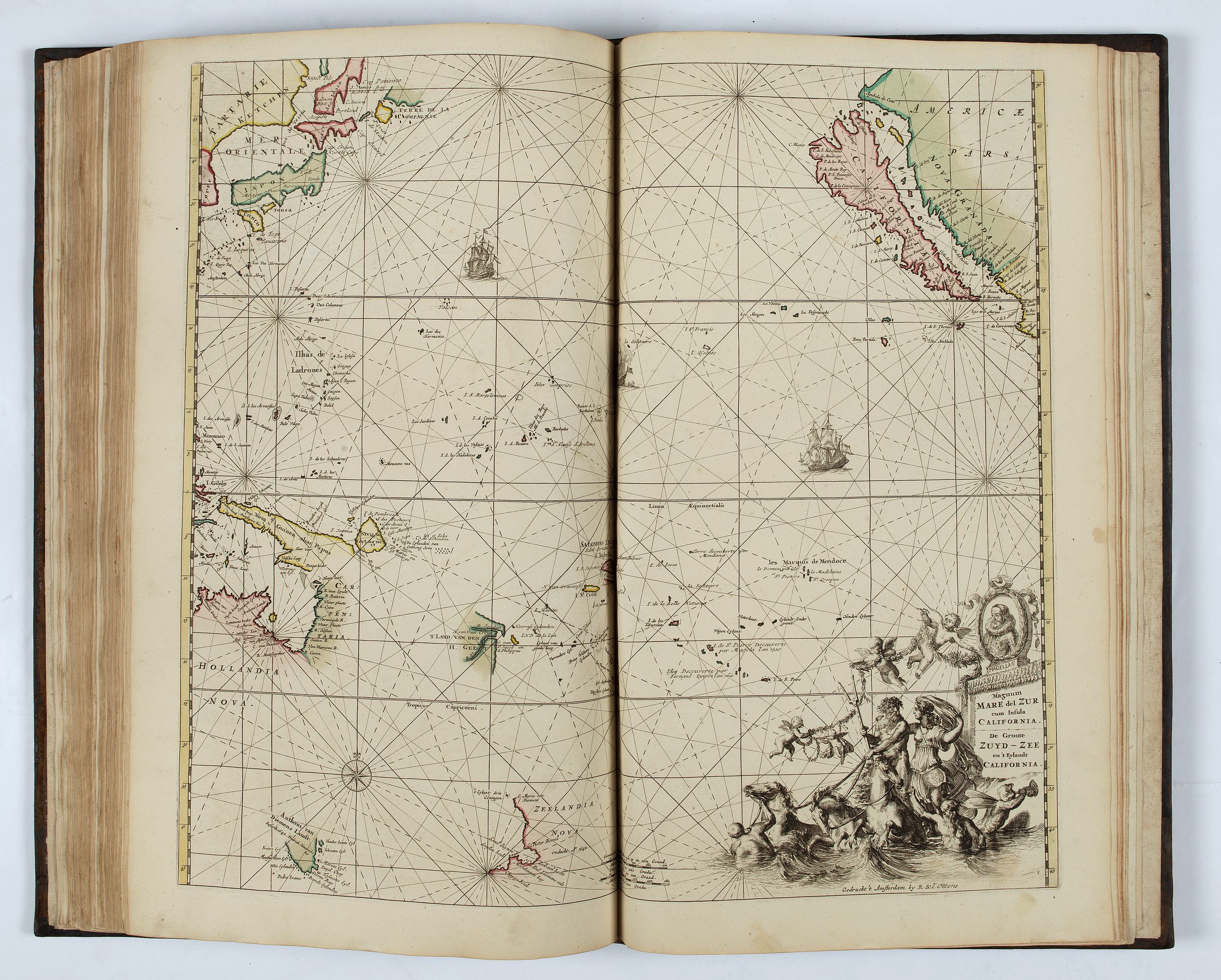
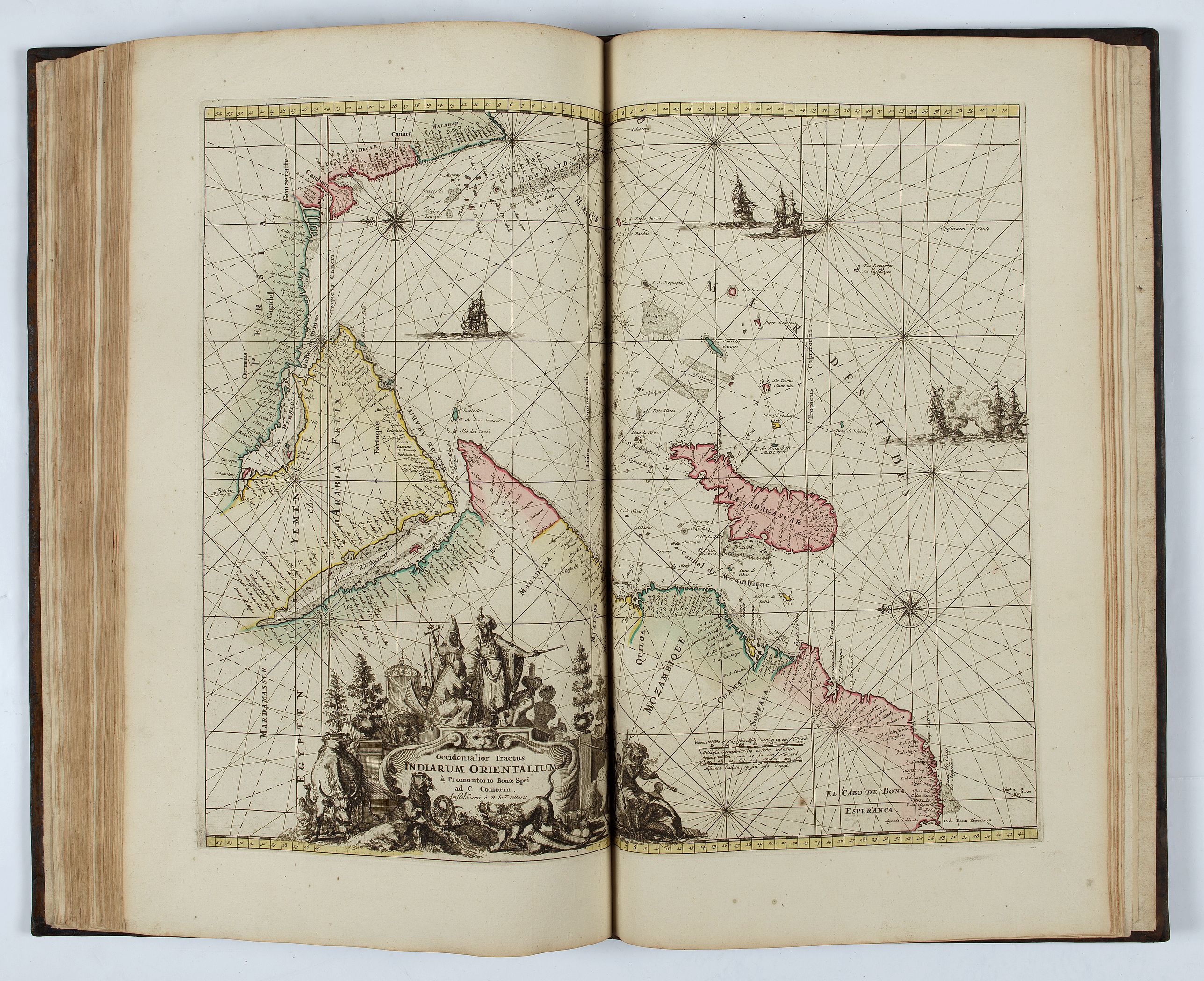
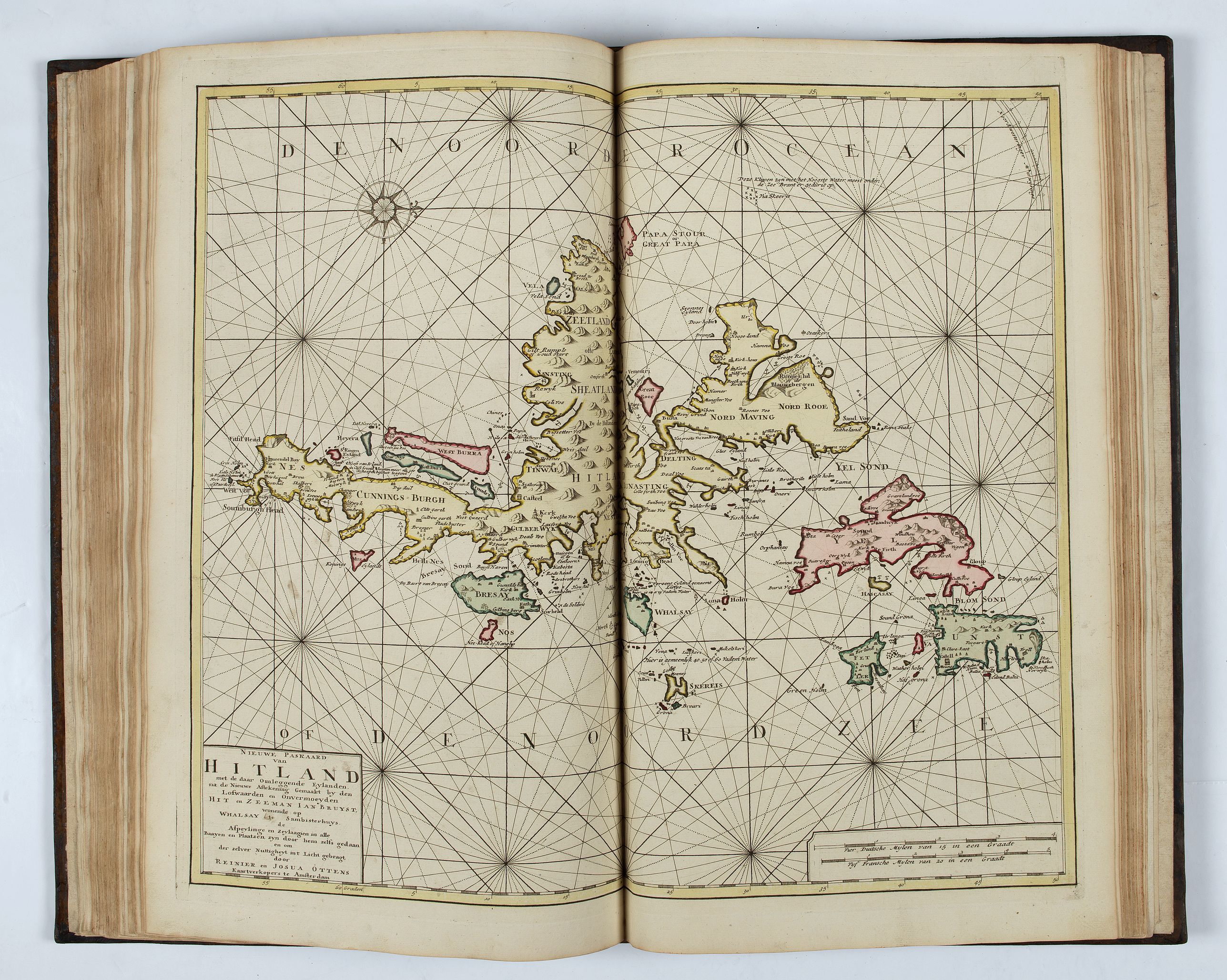
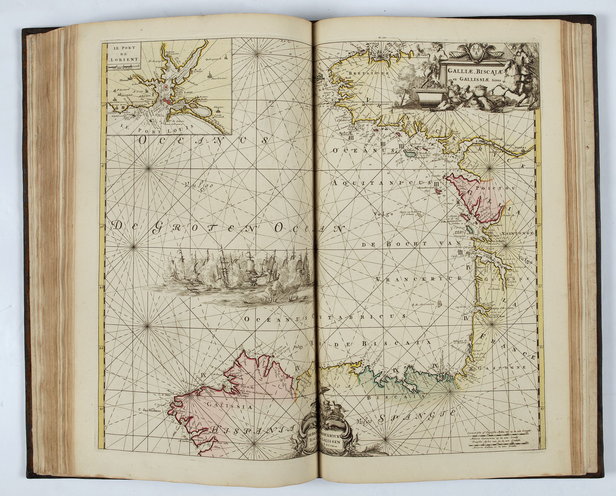
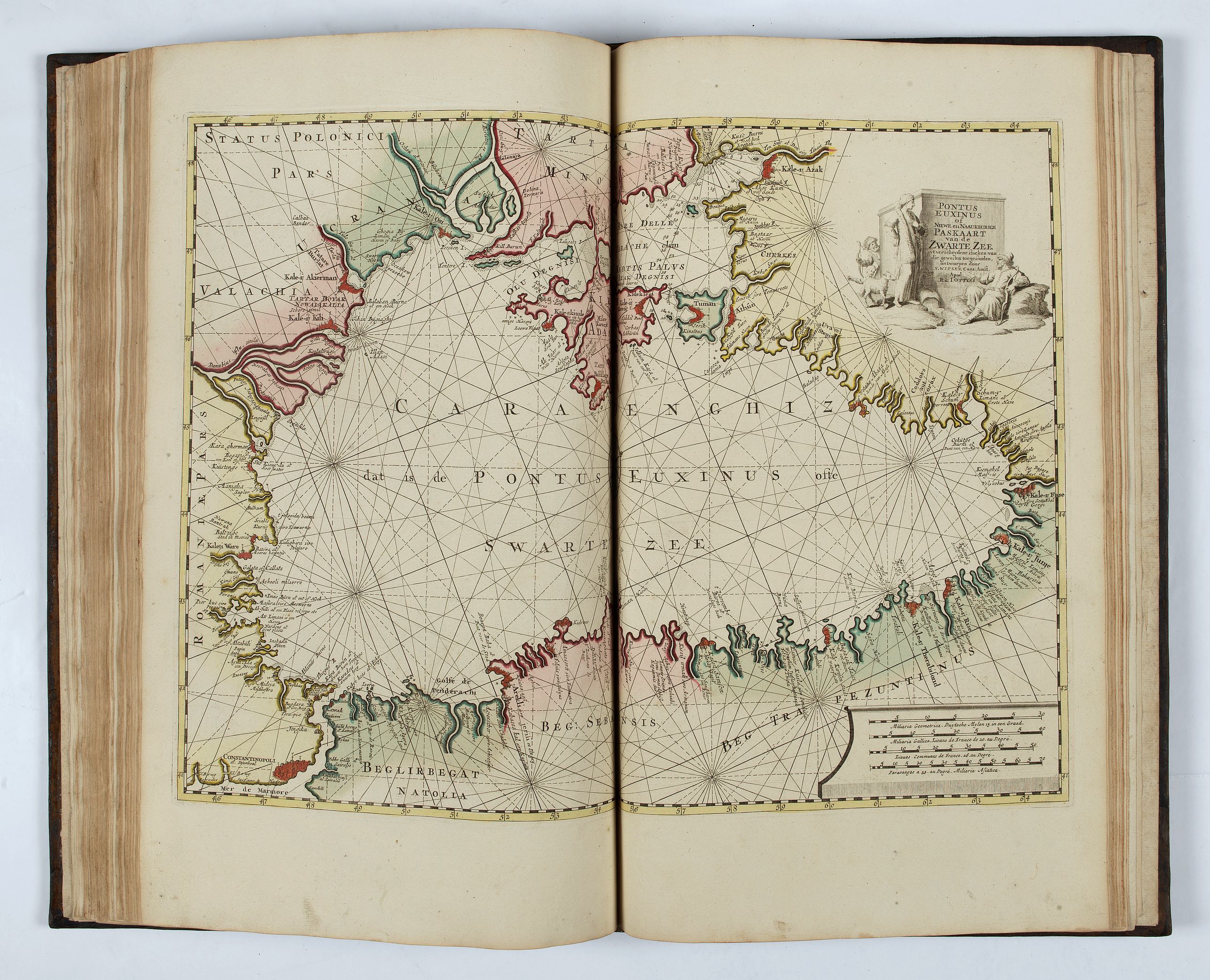
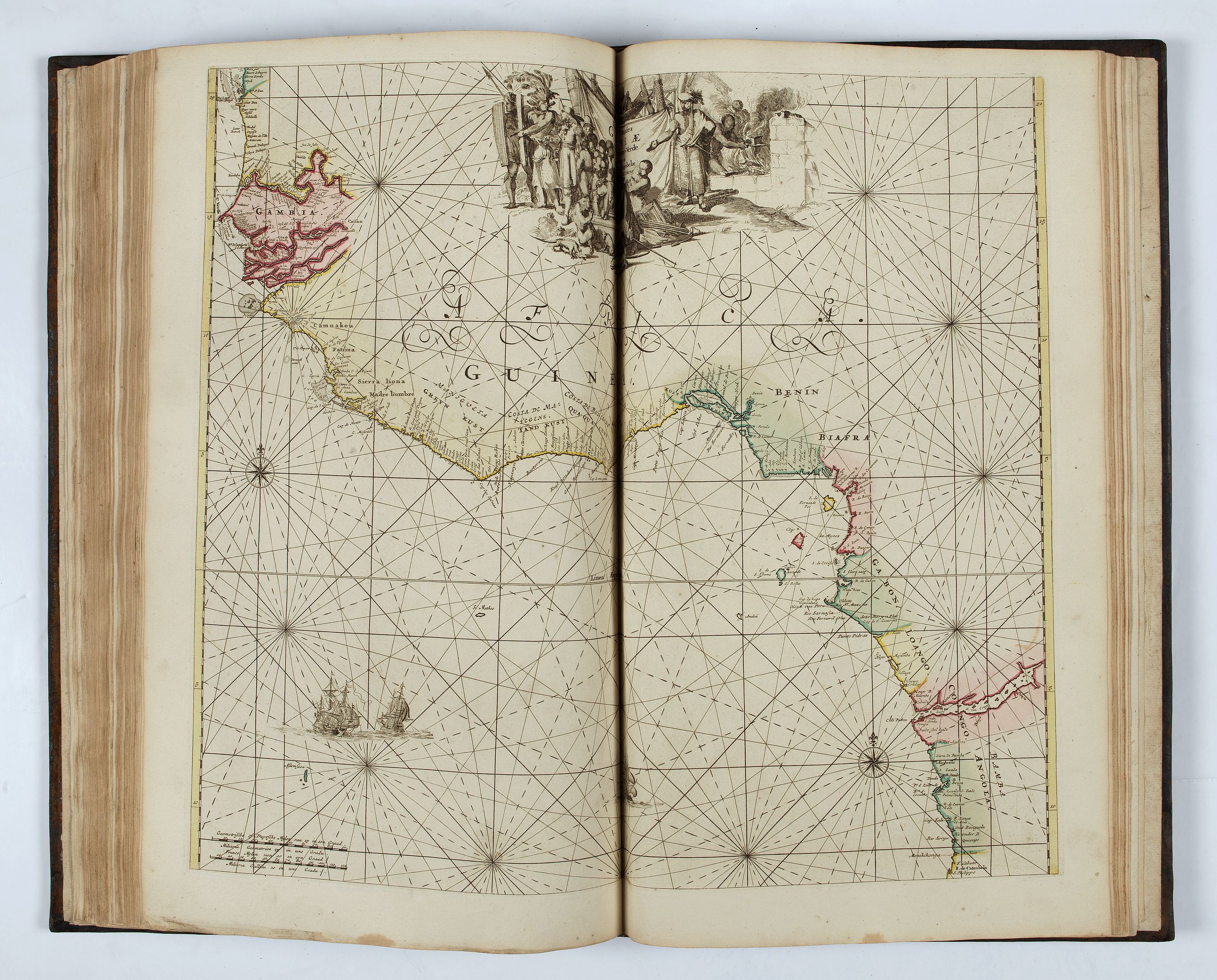
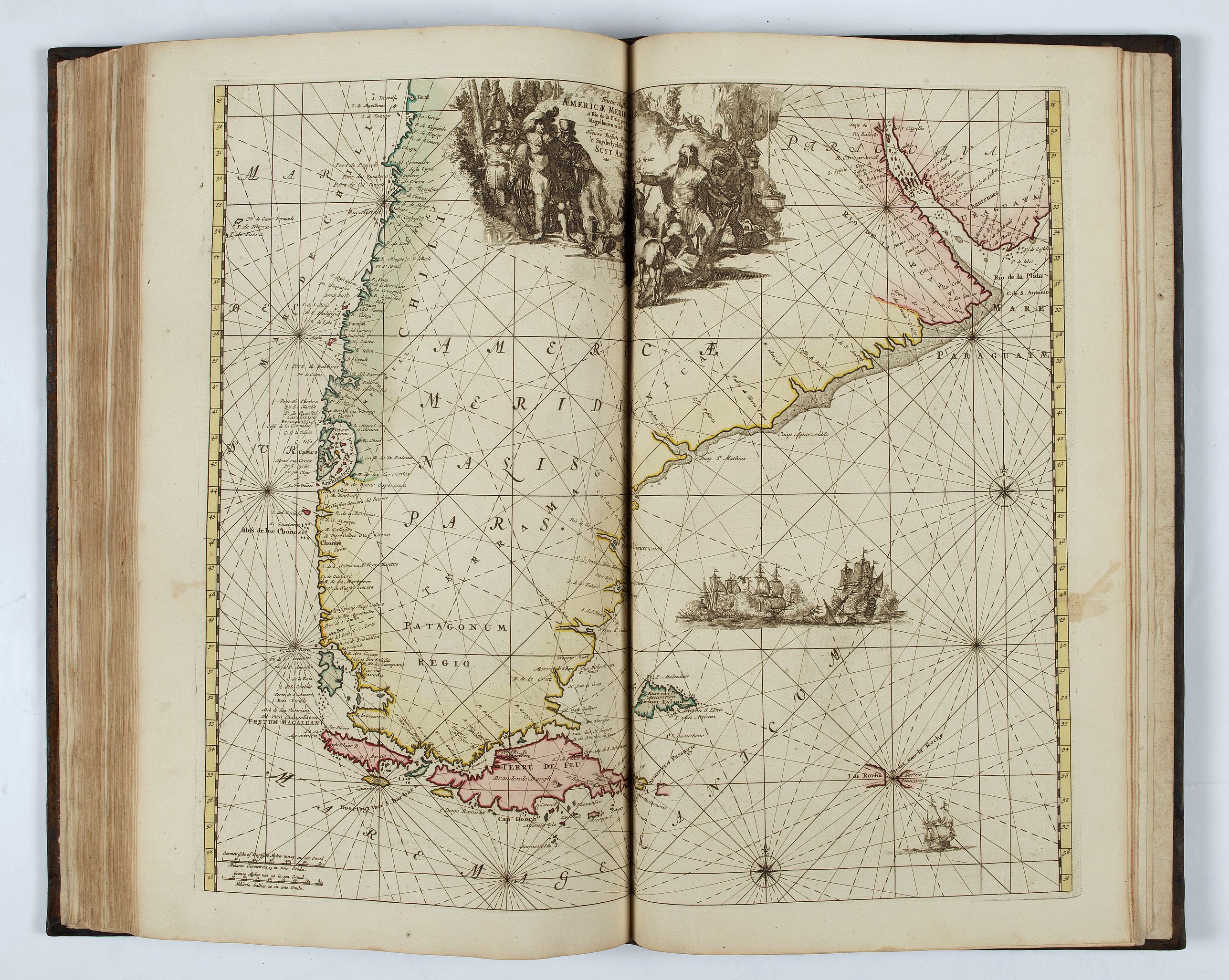
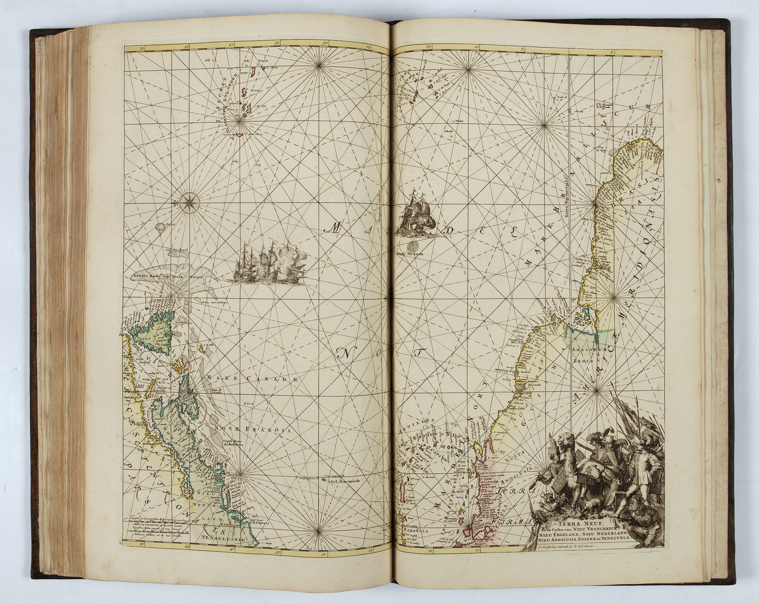
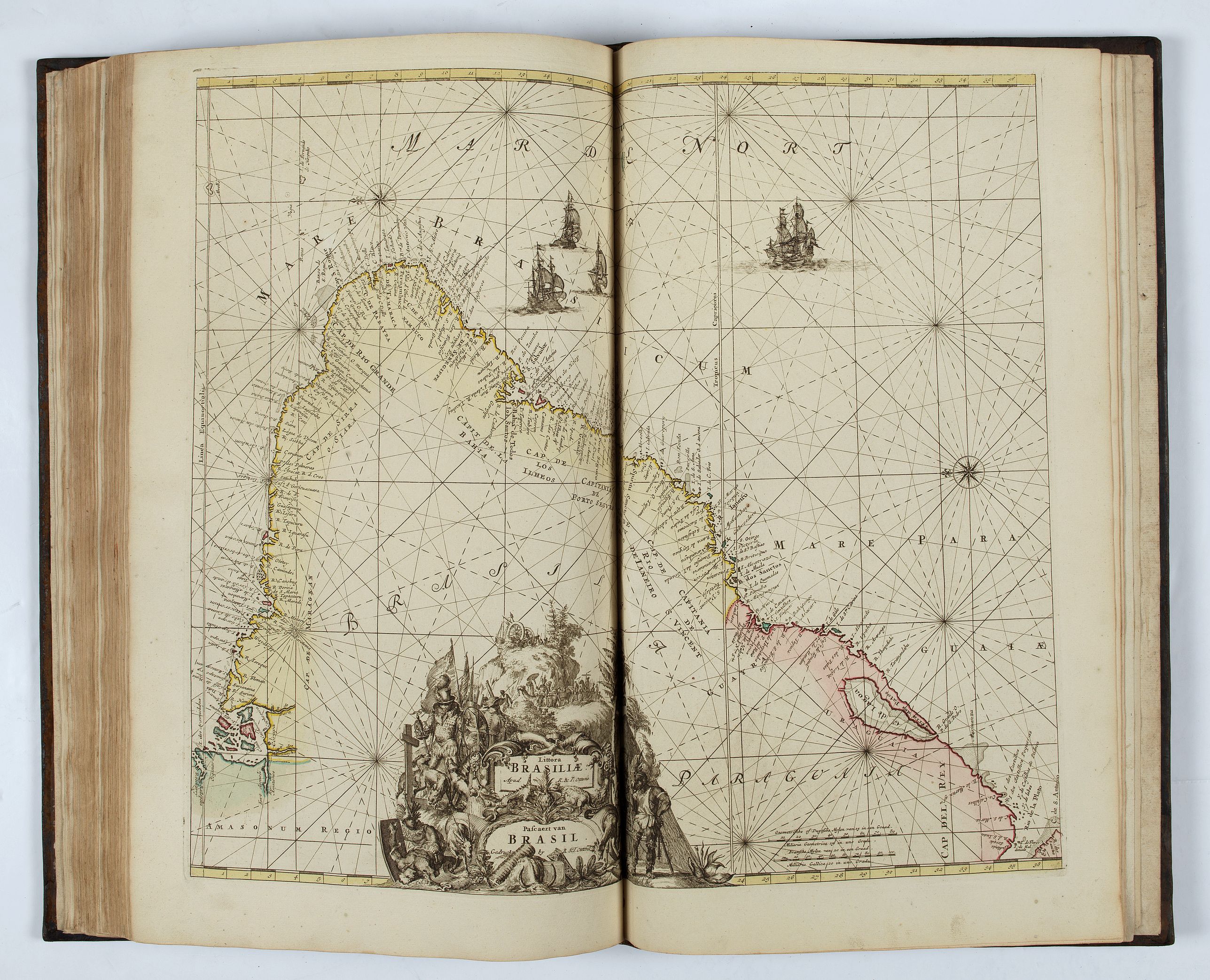
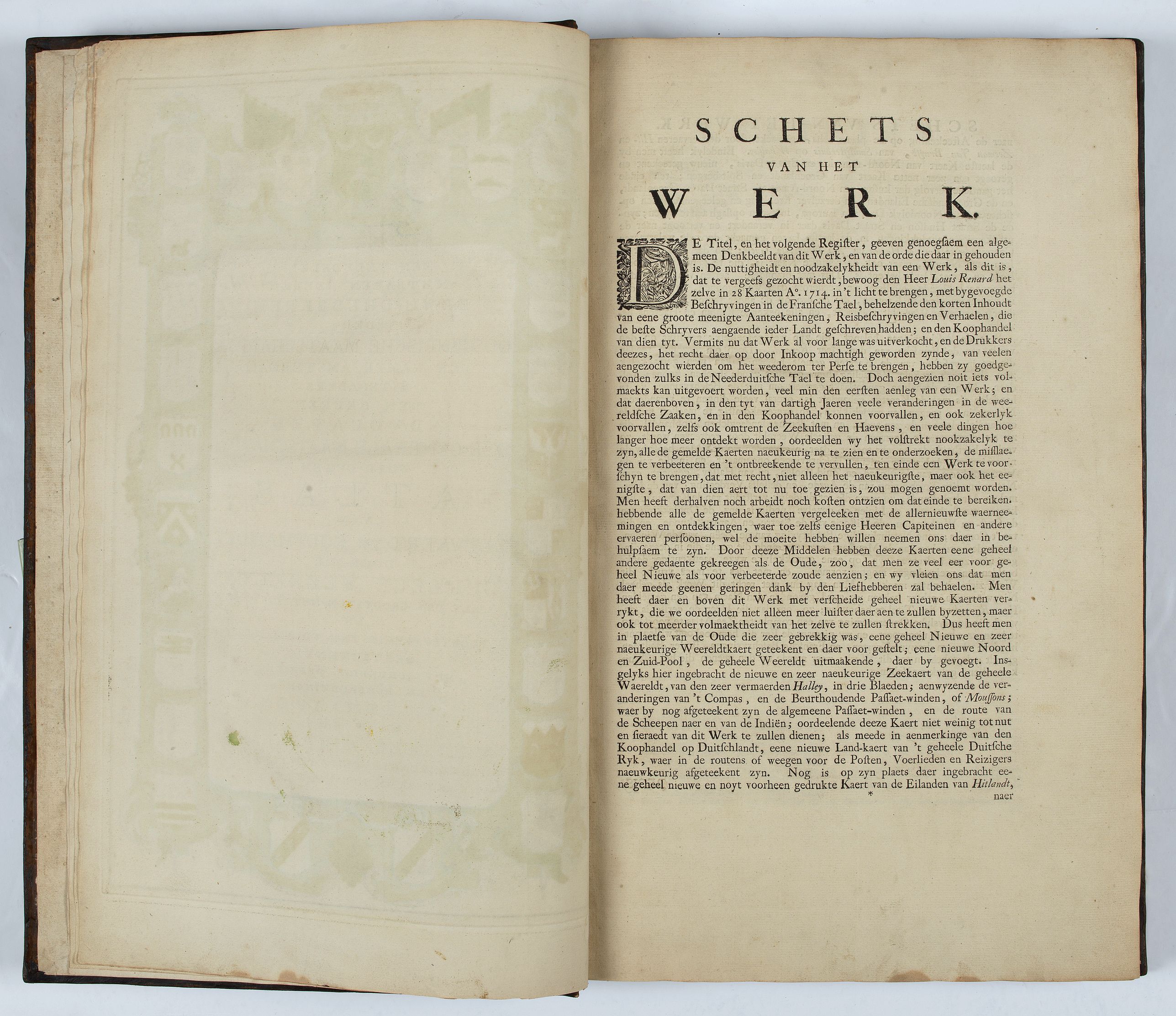
Engraved frontispiece, title printed in red and black with engraved vignette, engraved dedication to the Dutch East India Company, 32 double-page engraved charts with contemporary hand-coloring. The cartouches were left uncolored according to 18th-century fashion, with the charts in body color. A light brown stain affects the bottom of pages throughout the atlas. (4), 152 pp.
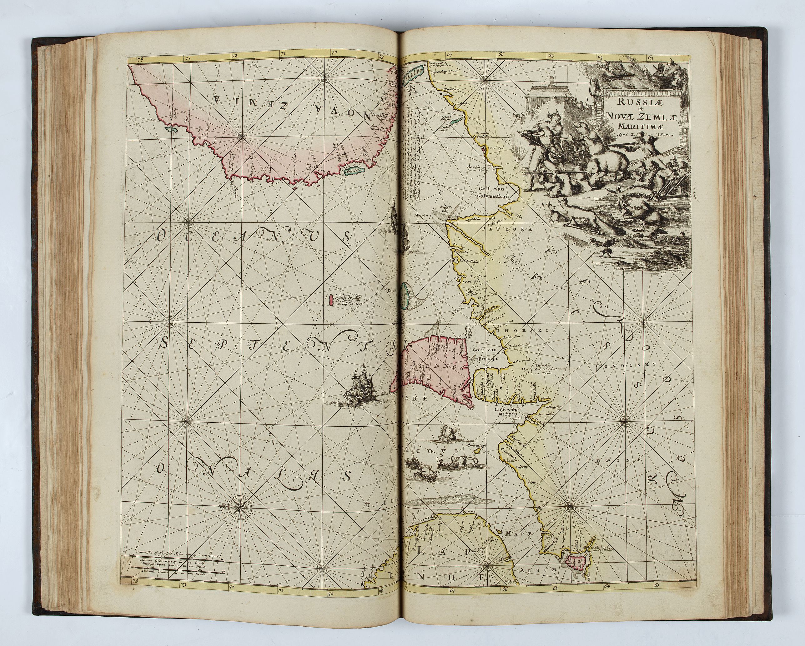
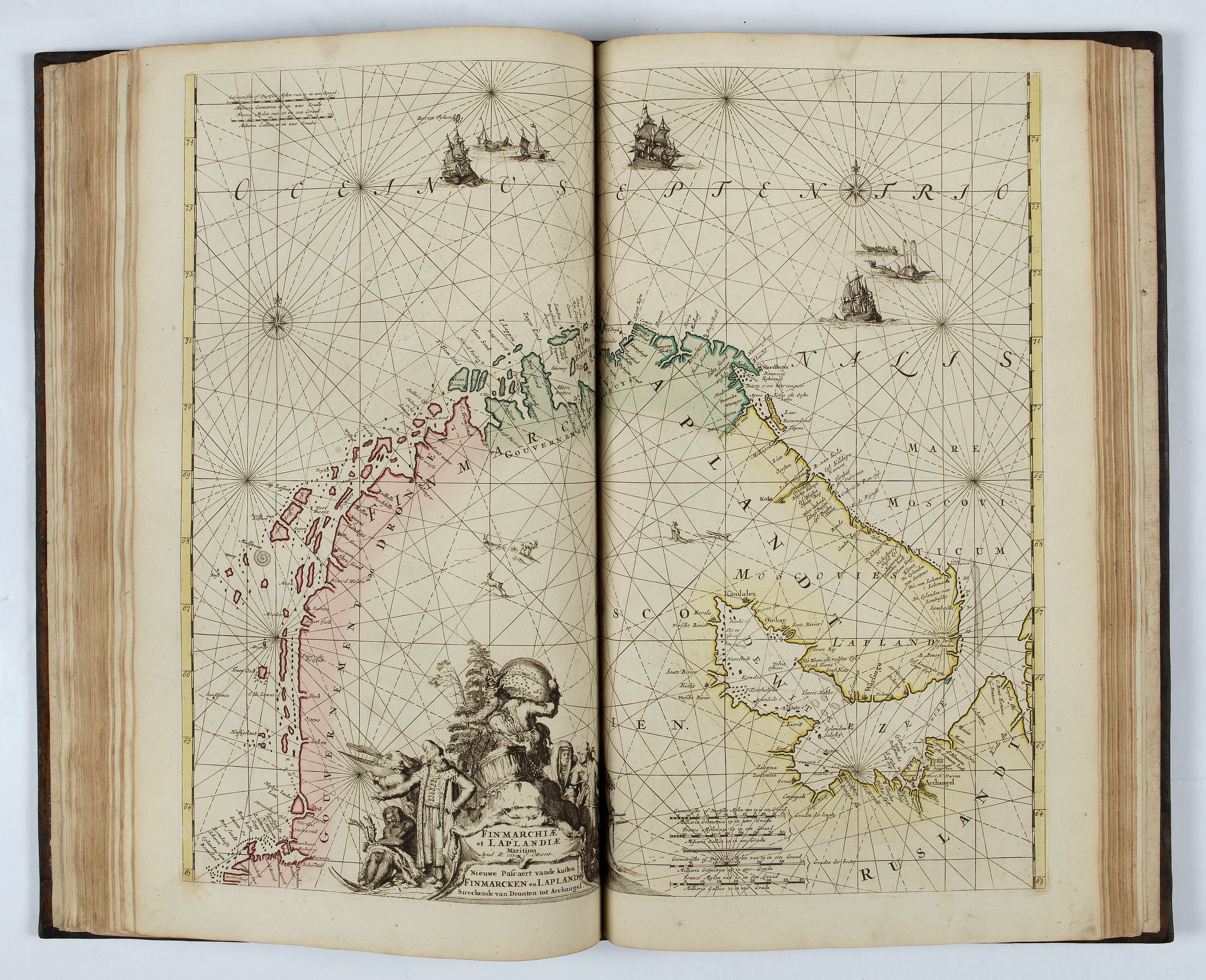
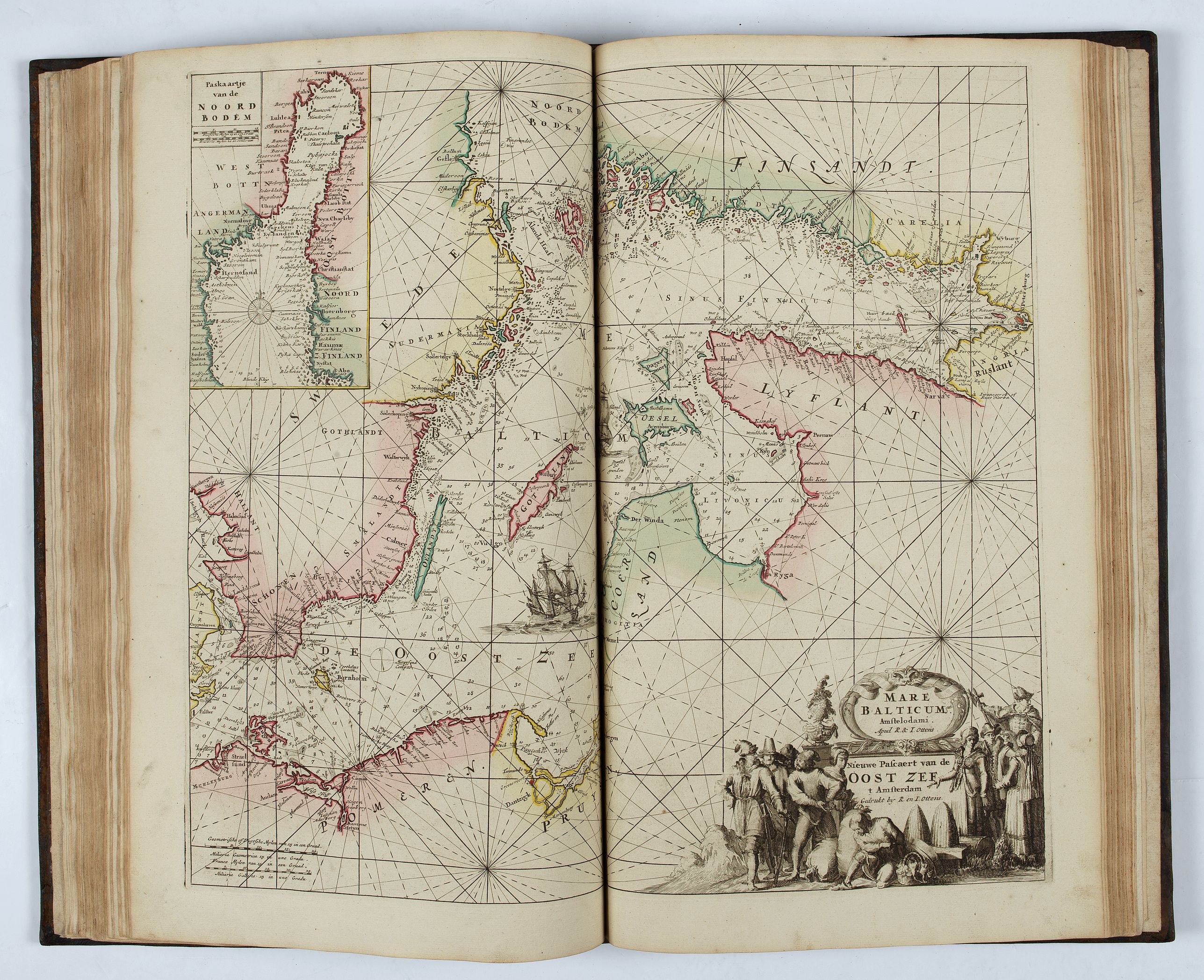
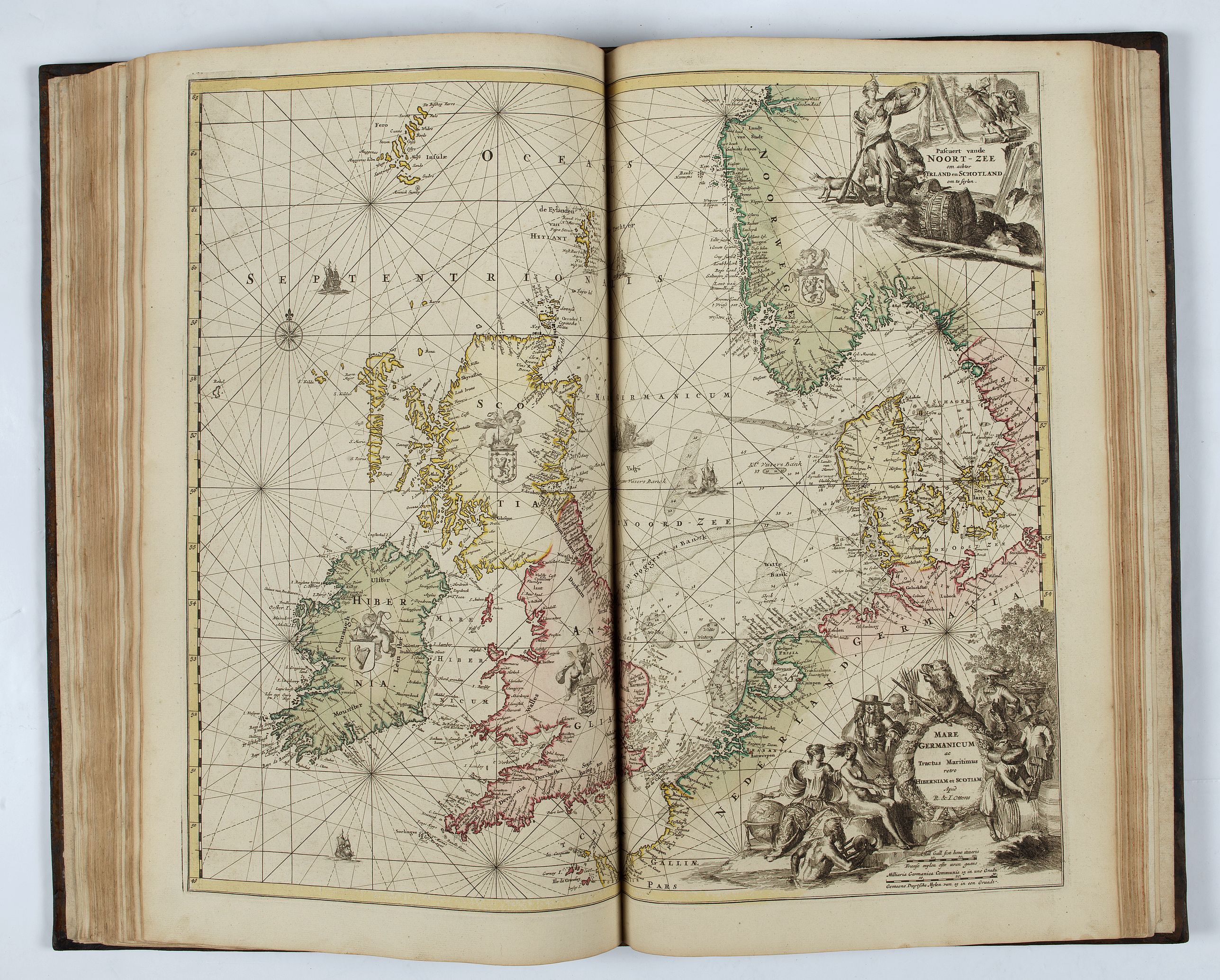
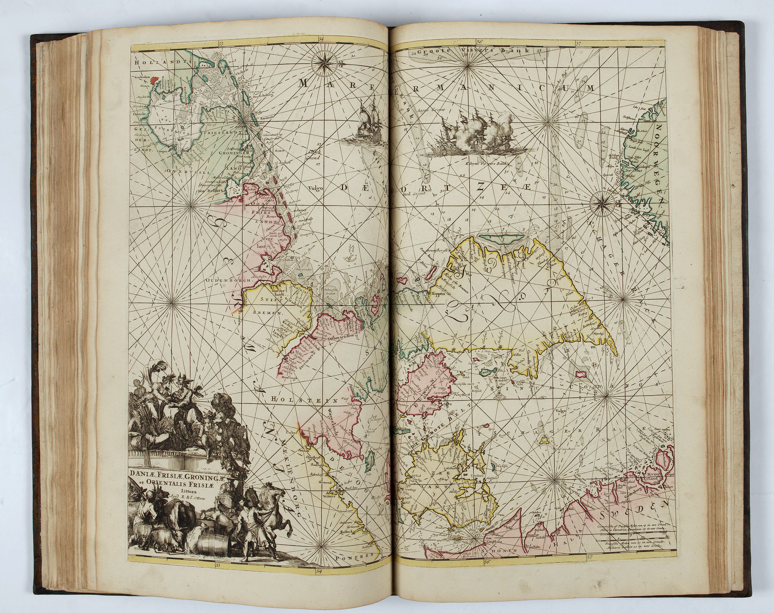
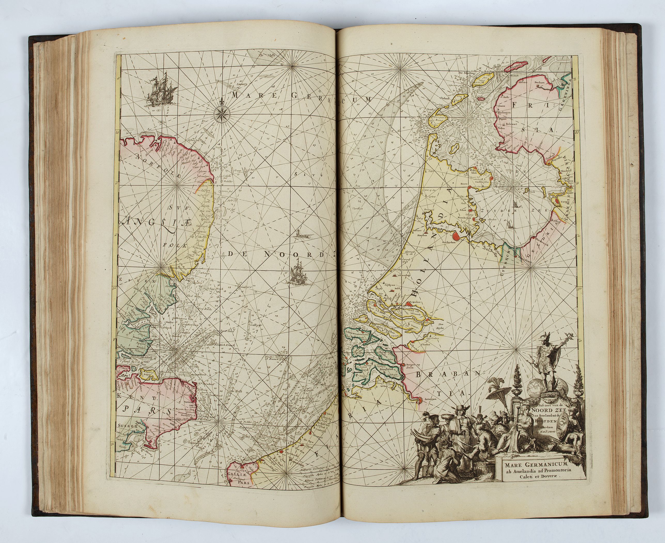
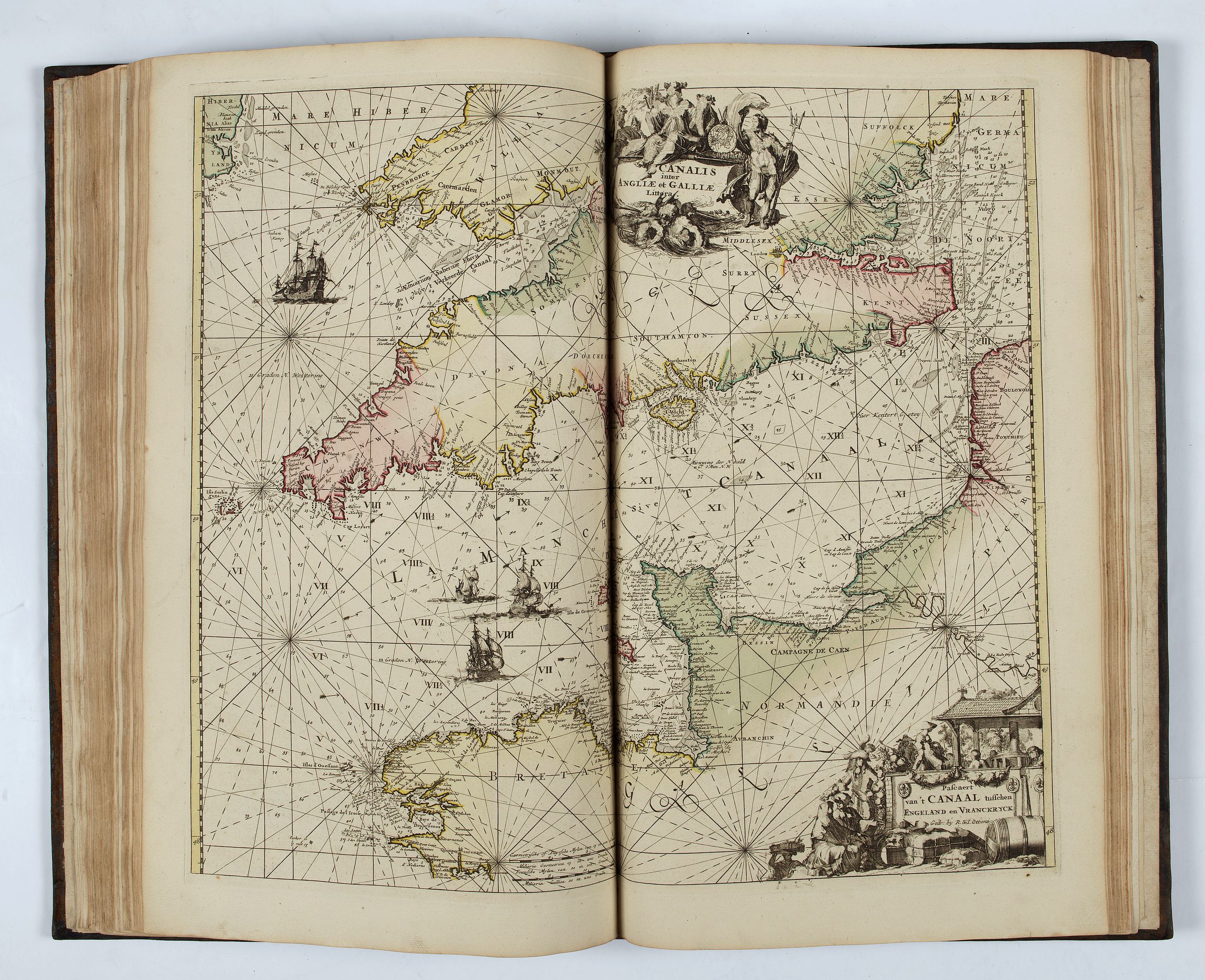
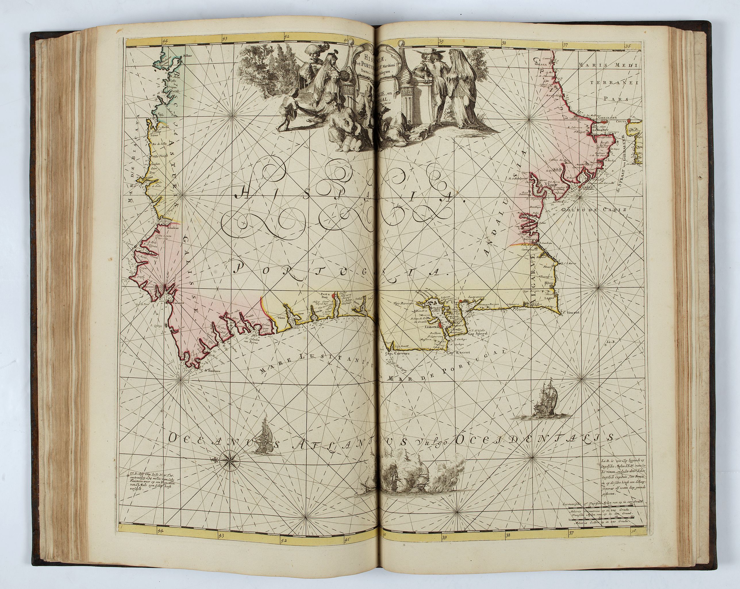
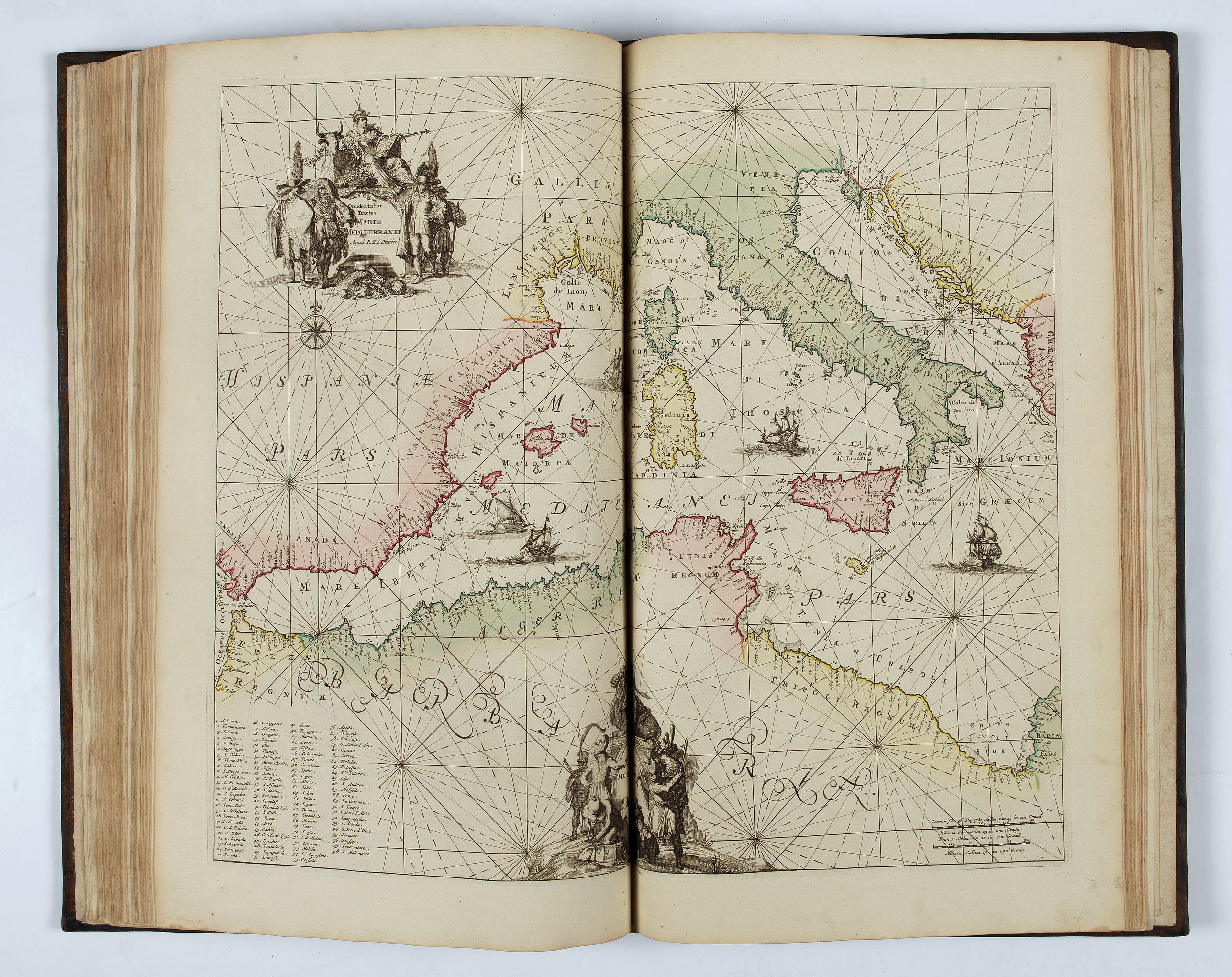
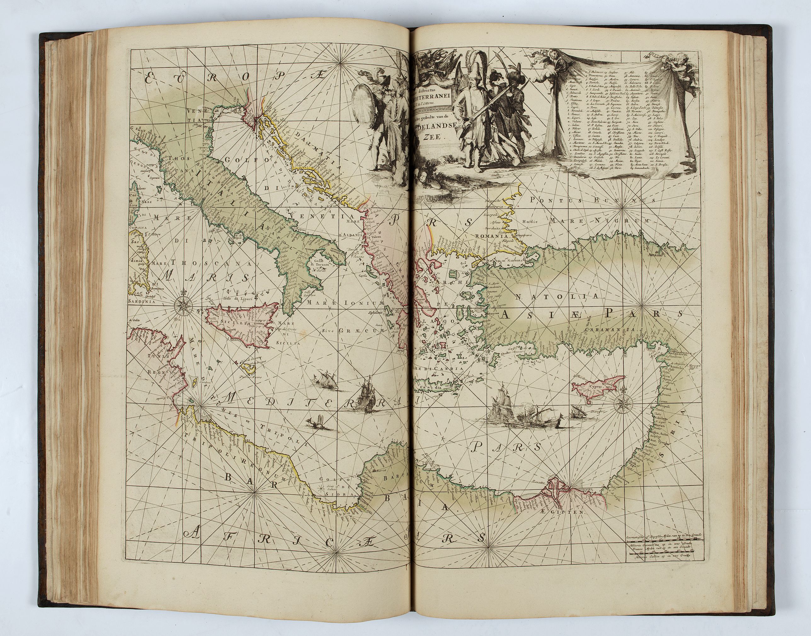
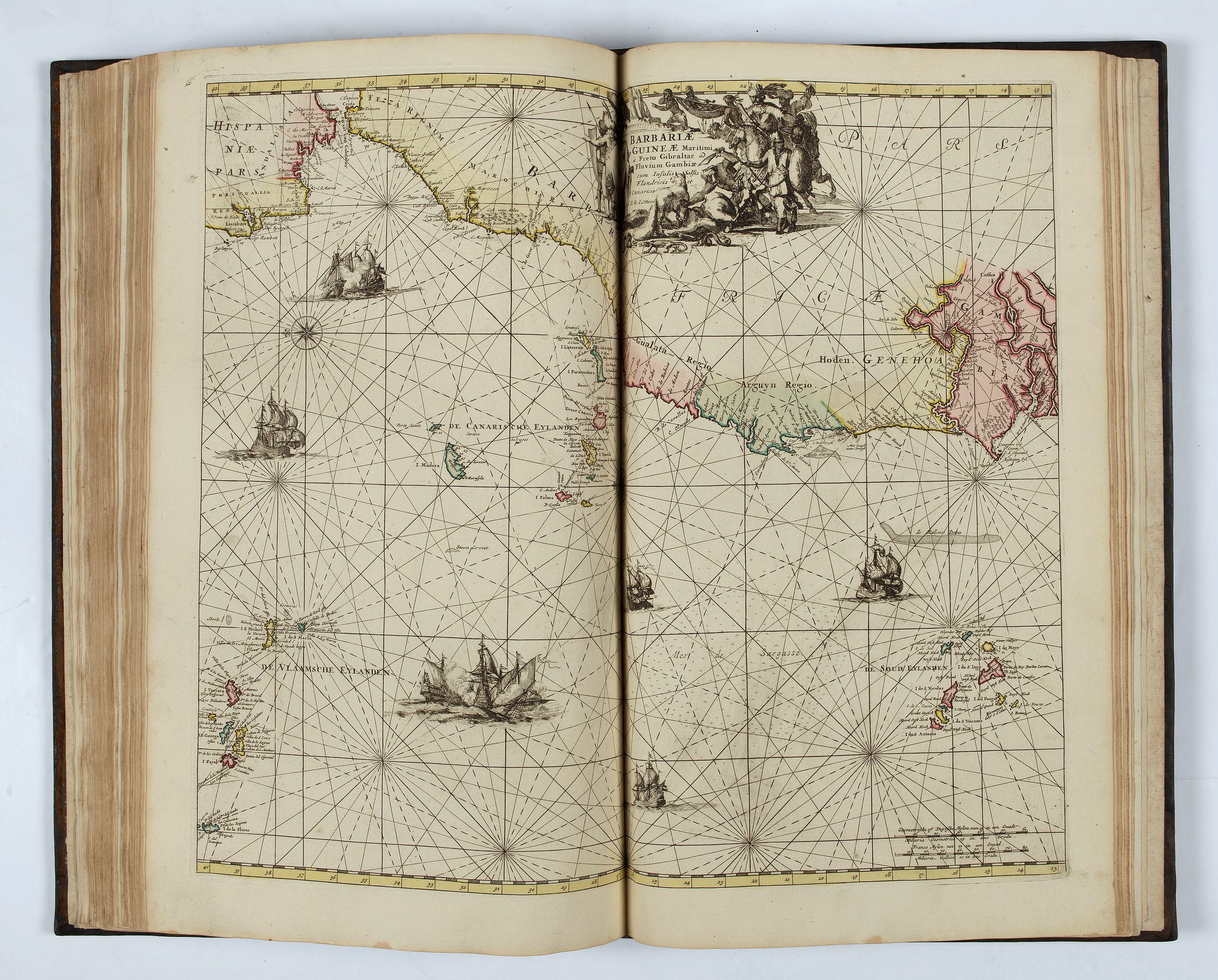
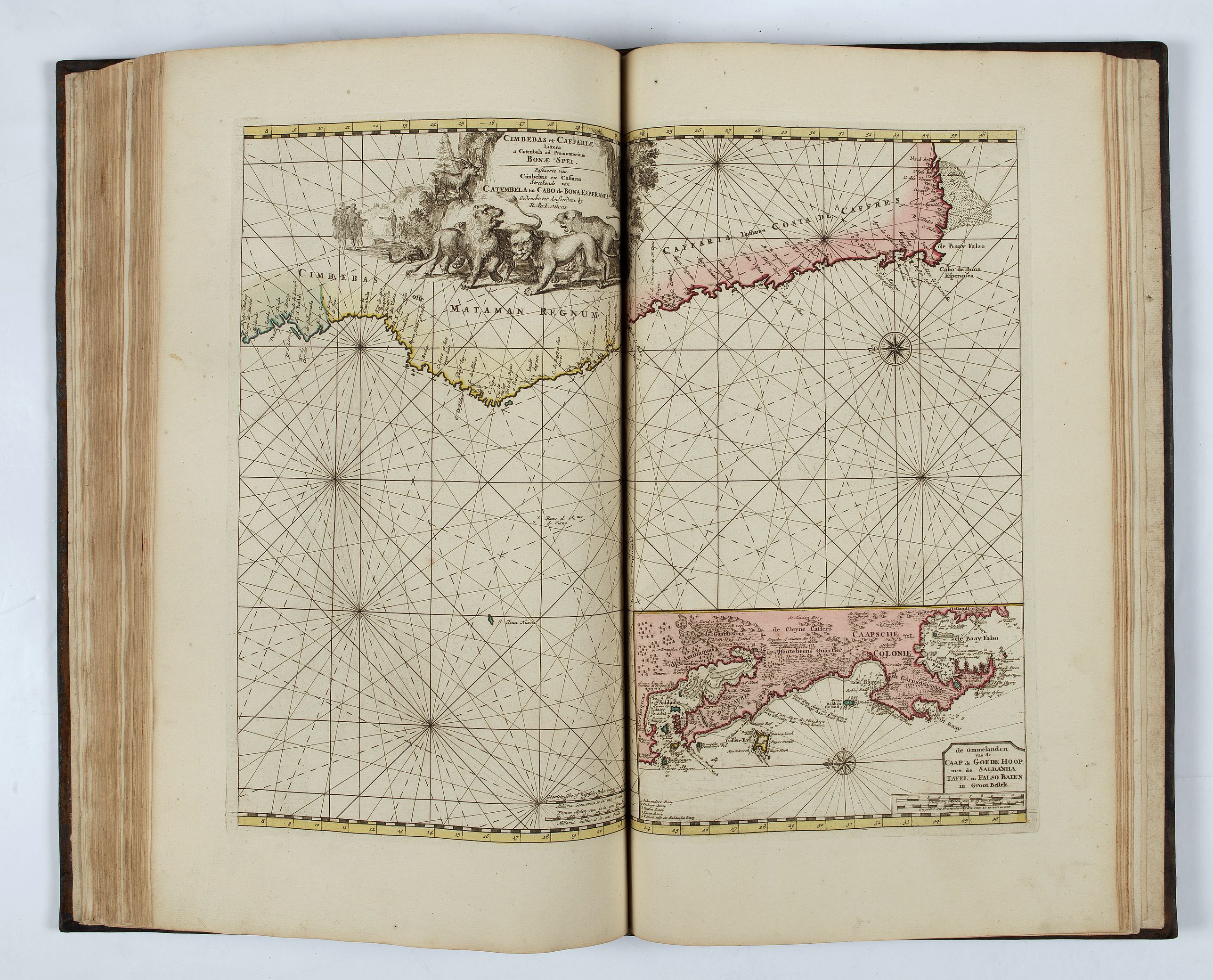
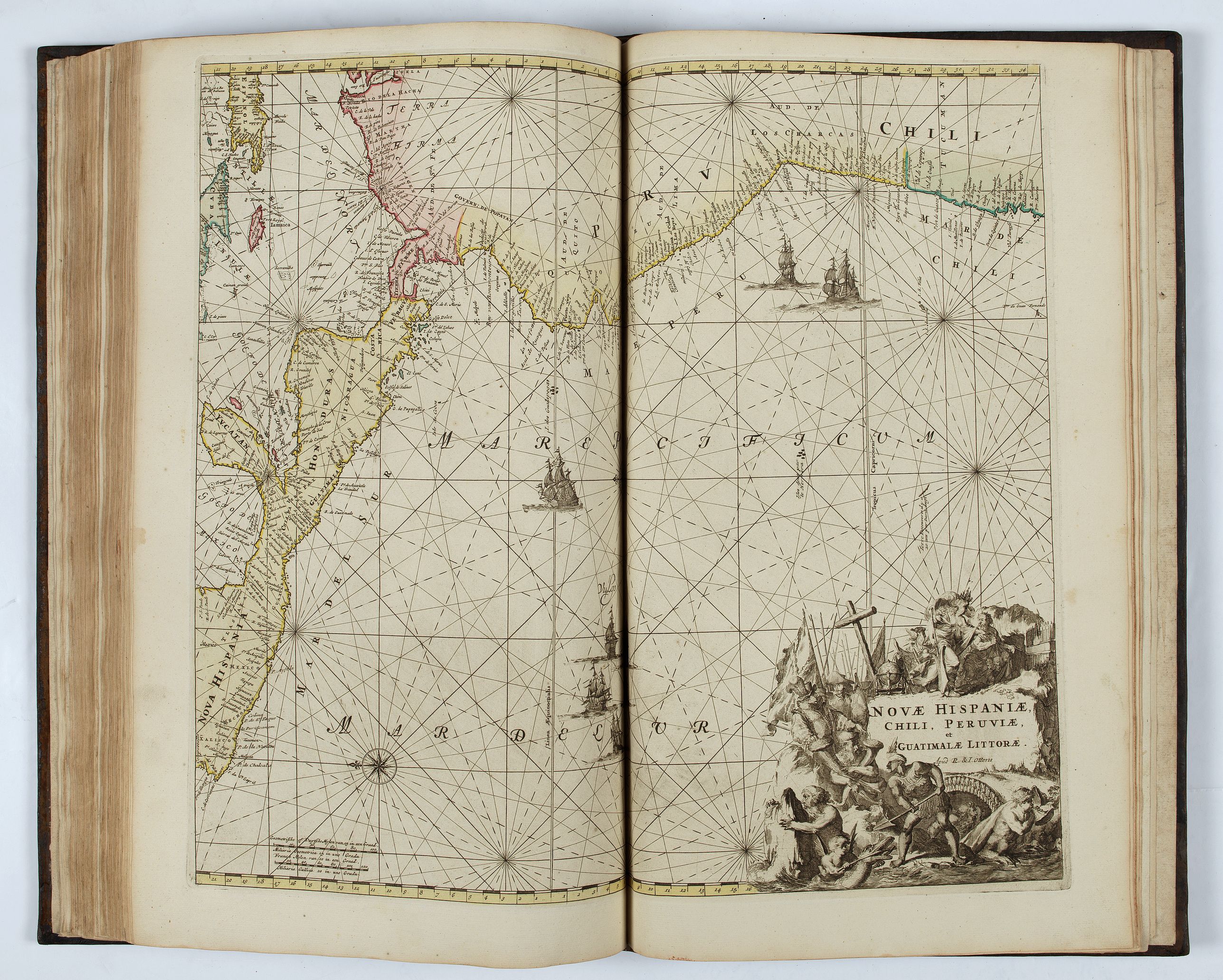
A very fine example of the corrected issue of Renard’s "Atlas de la navigation et du commerce" (Amsterdam, 1715), which had been printed from plates used for Frederik de Wit’s maritime atlas of c.1675. The firm of R. and J. Ottens produced a French edition in 1739, slightly different from 1715, and then this 1745 edition with Dutch text and careful correction of the plates.
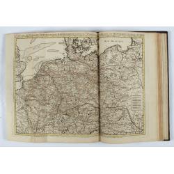
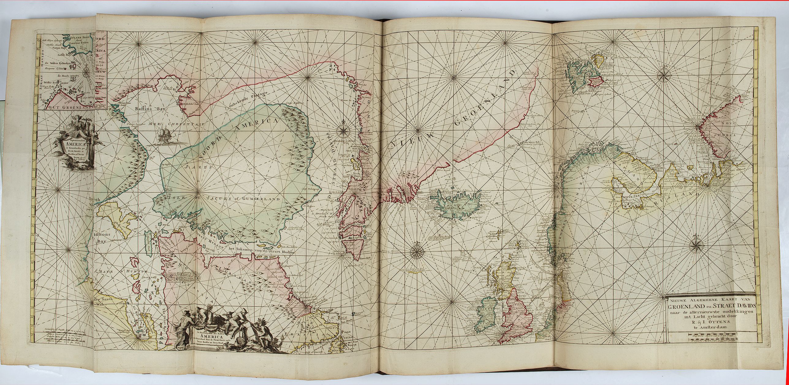
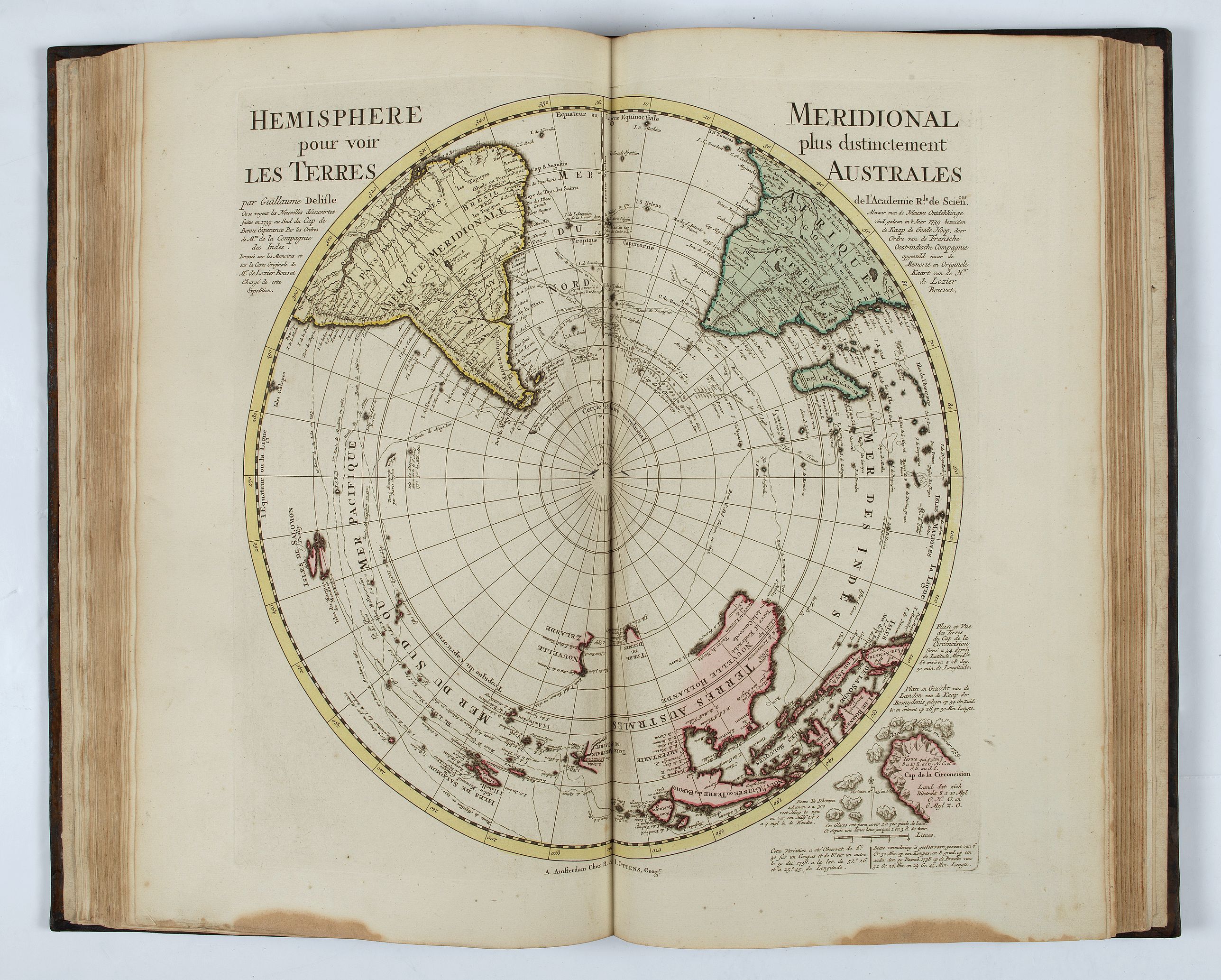
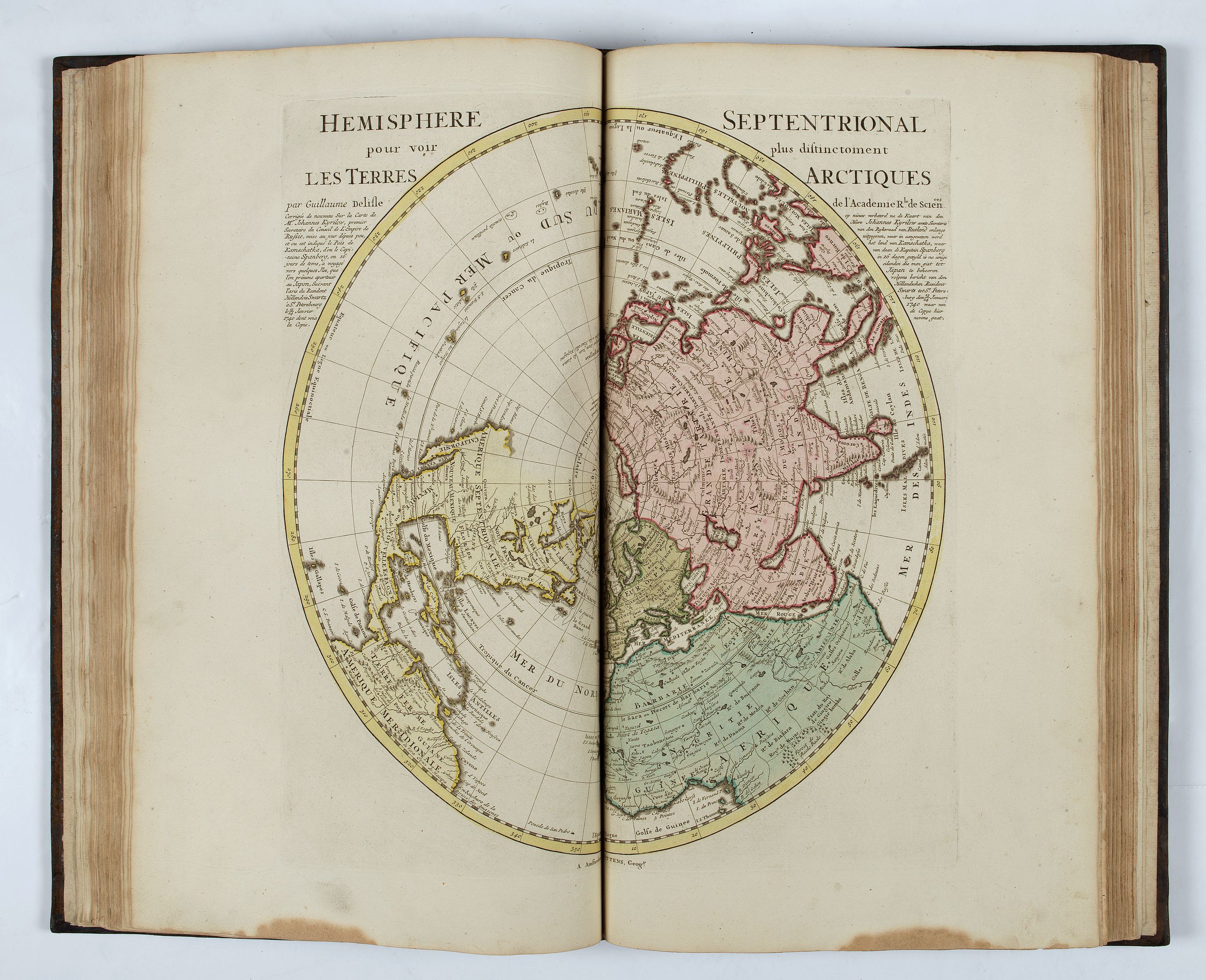
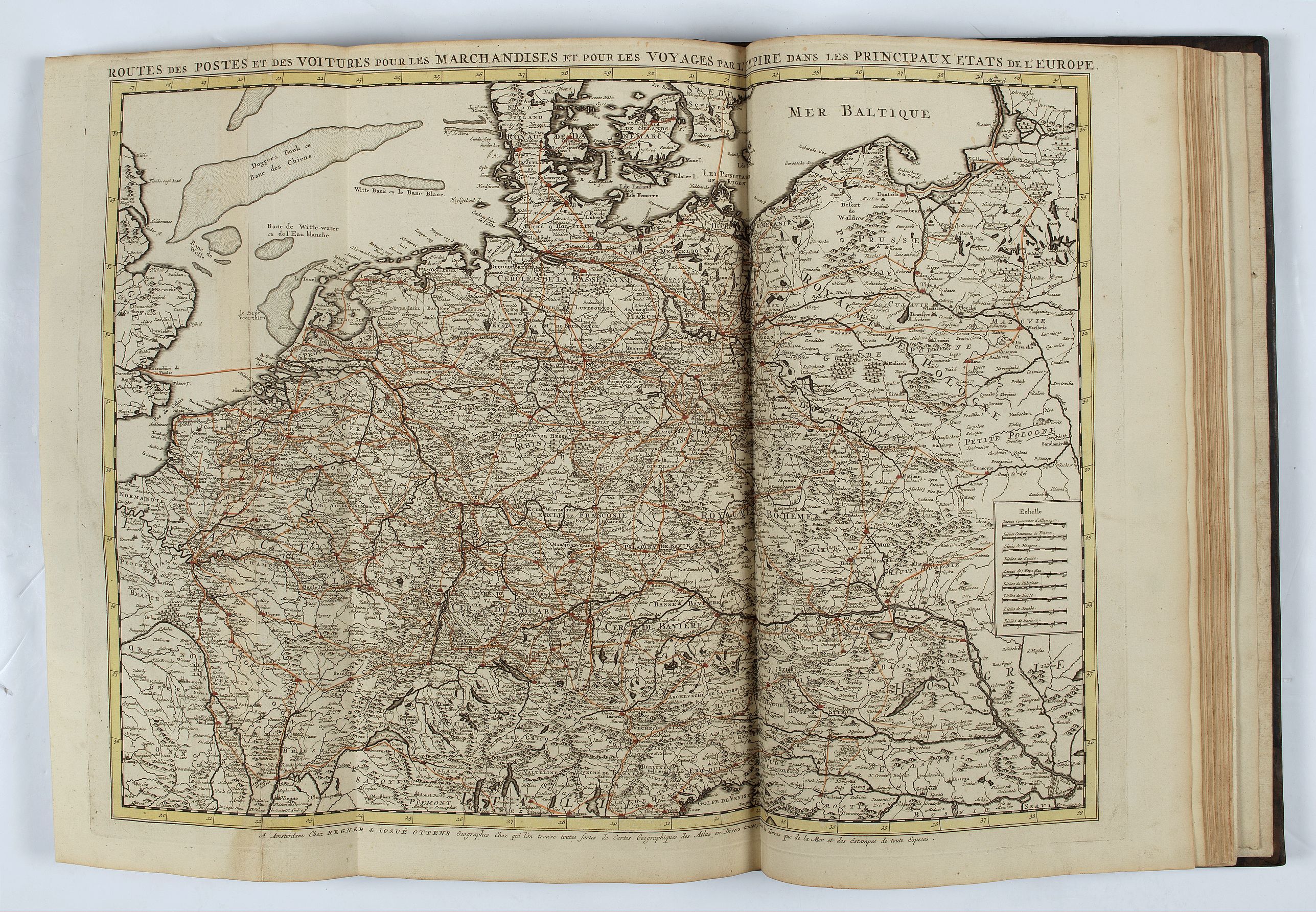
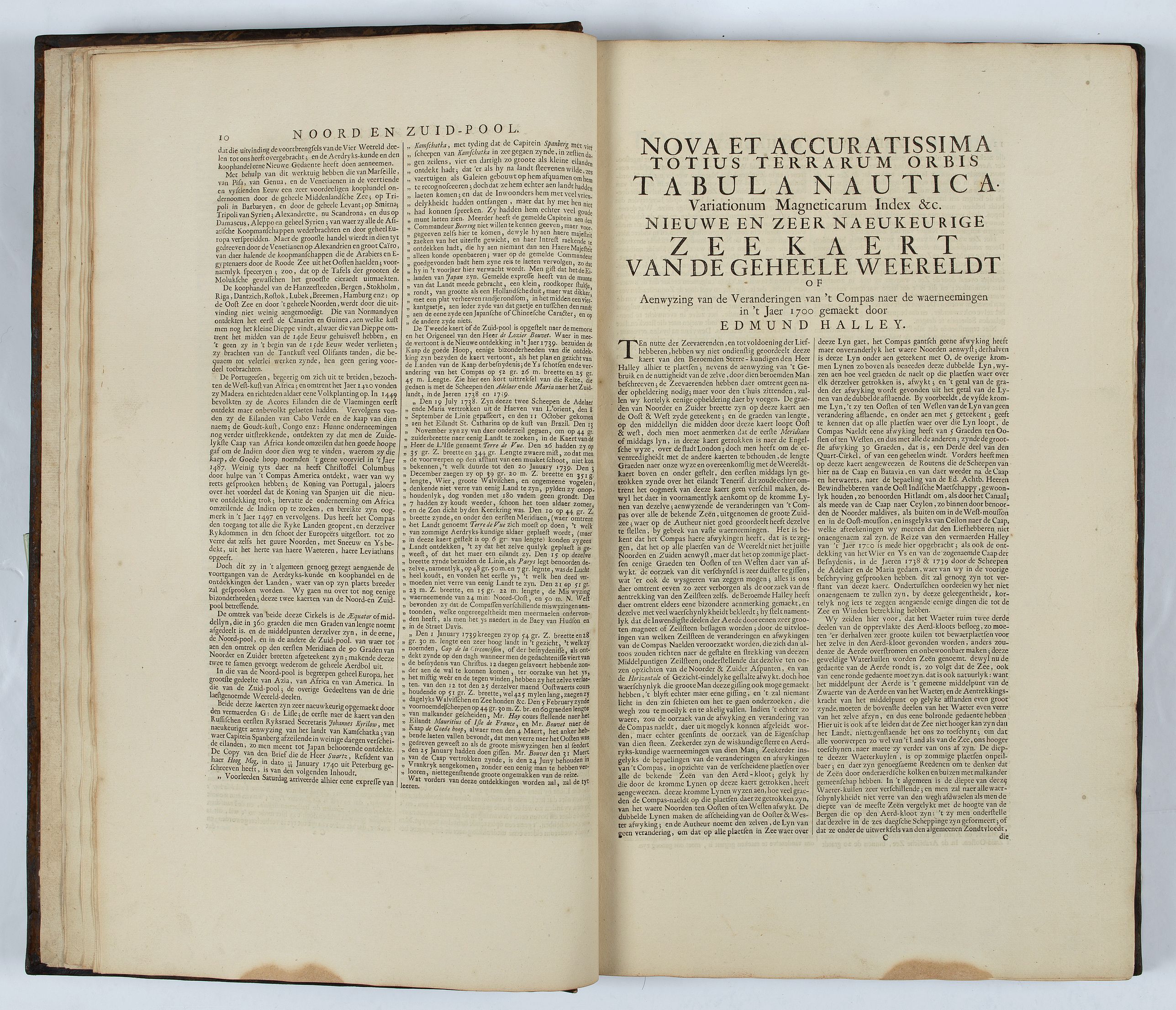
Seven new charts appear, including a world map by Edmund Halley (4), maps of the postal routes of Europe (10) and of Greenland (32). Renard's name is no longer found on the plates, and the text is rewritten.
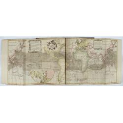
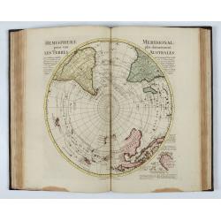
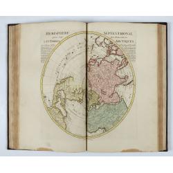
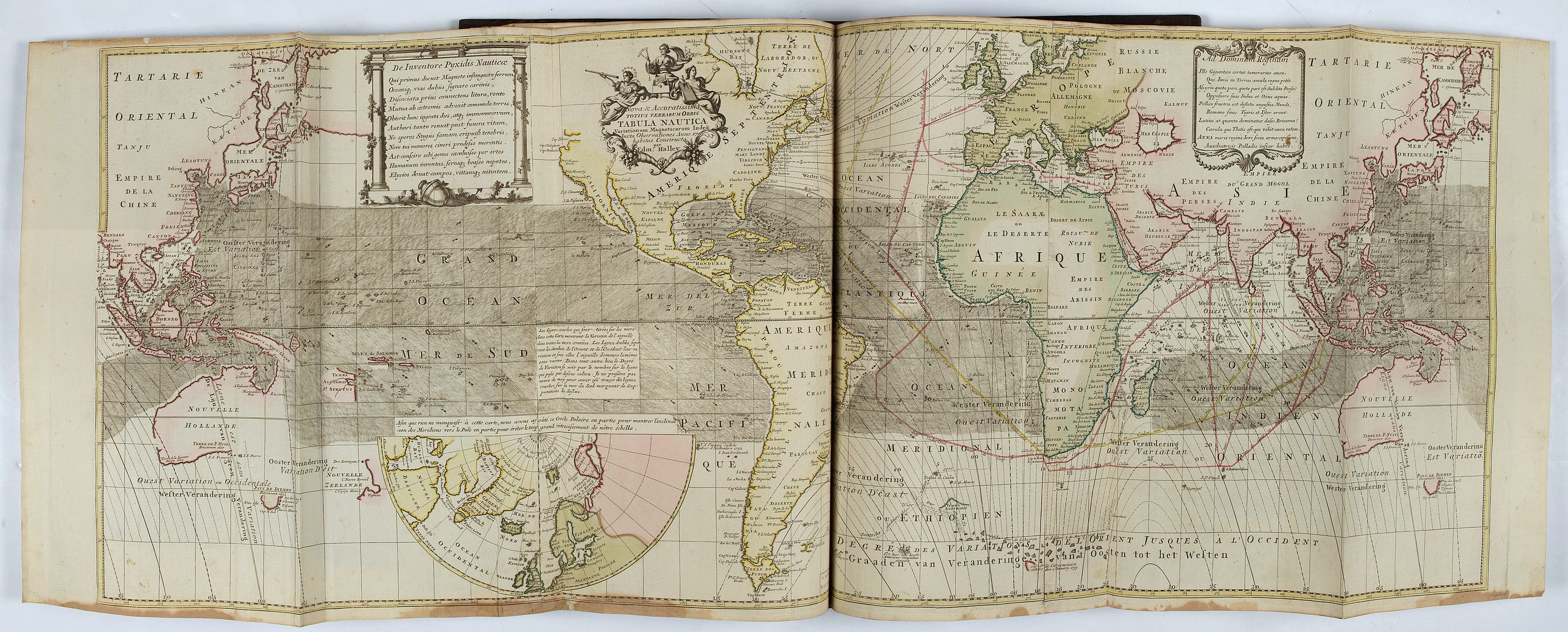
One of the most important maps in this atlas is this folding map based on Edmund Haley’s study of magnetic fields. This is the first map to include isogonic lines and the first edition of Haley’s map to include wind directions. The map was published in Amsterdam circa 1730 and is in three separate sheets that have been joined.This is one of the most important world maps to come out of the 18th century, especially concerning the study of Earth sciences. Being the first world map to include isogonic or Halleyan lines, this map depicts areas of equal magnetic variation across the oceans. Charting the phenomena of magnetic variations from “true north,” was considered a very important feature to have on a map, especially when it came to determining more accurate positioning of longitude. The map also includes several notations regarding trade wind directions and monsoons during specific months of the year. This feature would help mariners determine the best times of year to sail through certain areas of the world. The symbols he used to represent trailing winds still exist in most modern-day weather chart representations.
The world map is presented in a long-strip format of a Mercator projection, which Halley called a nautical projection. Eastern Asia and Australia are repeated, to better show the flow of the isogonic lines. These lines radiate over the Atlantic and Indian Oceans, but not the Pacific. A note in the Pacific explains his innovation and why the lines stop as they approach the world’s largest ocean:
The Curve lines which are drawn over the Seas in this Chart, show the Variation of the Compass in all the known Seas, the double lines divide the tracts of East and West Variation & under them, the Compass stands true without Varying. In any other place, the degrees of Variation is [sic.] seen by the number on the Line that passes over that place. I durst not presume to describe the like Curves in the South Seas wanting account thereof. (quoted from the English edition of Halley’s chart, published by Emanuel Bowen, 1722).
Edmund Halley (1656 – 1742) was the second Royal Astronomer and is highly regarded as one of the greatest European astronomers of his era, along with Sir Isaac Newton. Though Halley had a large number of scientific discoveries and accomplishments, he is best known for the comet which bears his name as he correctly predicted its continuous return to Earth every 75 to 76 years. With relation to this map, Halley received a temporary commission as a Captain of the Royal Navy in August of 1699 to make extensive observations on the conditions of terrestrial magnetism. This task he accomplished in a second Atlantic voyage which lasted until 6 September 1700, and extended from 52 degrees north to 52 degrees south. The results were published in the General Chart of the Variation of the Compass (1701). This was the first such chart to be published and the first on which, isogonic or Halleyan, lines appeared.
Norman J. W. Thrower, The Three Voyages of Edmond Halley in the Paramore 1698-1701 (London: Hakluyt Society, 1981), 55-66, appendix E. KAP.
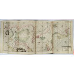
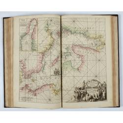
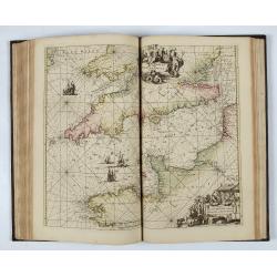
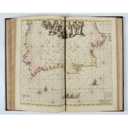
Another folding map is the portolan-style chart, "Totius Europae Littora Novissime adita. Pascaert vertoonende alle de See-custen van Europa". The chart offers an exquisite and wide-ranging depiction of Europe's maritime landscape. Stretching from Morocco to the Scandinavian island of Spitsbergen and Iceland, and west to east from Iceland to Dalmatia, this chart encapsulates a remarkable breadth of geography.
The Ottens brothers, Reiner and Joshua, operated a successful printing partnership in the mid-eighteenth century (fl. 1726-1765). They began the venture in 1726, publishing maps and other prints as “R & I Ottens.” They specialized in the reprinting of others’ work, especially Guillaume De L’Isle. In 1750, Reiner died; his son, also Reiner, took his place, but the firm began listing their works as “Joshua & Reiner Ottens.” The firm lasted until Joshua died in 1765. Joshua’s widow, Johanna de Lindt, sold their remaining stock of plates in 1784.
A splendid copy.
Reference: Shirley BL II, M. Ren-1c; Koeman IV, Ren 3; Phillips, Atlases 601.
FAQ - Guarantee - Shipping
994 BuyBidBuying in the BuyNow Gallery
This item is available for immediate purchase when a "Add to Cart" or "Inquire Now" button is shown.
Payments are accepted in Euros or US Dollars. We accept most major credit cards, PayPal and bank transfer.
Authenticity Guarantee
 We provide professional descriptions, condition report and HiBCoR rating (based on 45 years experience in the map business)
We fully guarantee the authenticity of items we sell. We provide a certificate of authenticity for each purchased item.
Condition / Coloring
We indicate the condition of each item and use our unnique HiBCoR grading system in which four key items determine a map's value: Historical Importance, Beauty, Condition/Coloring and Rarity.
We offer many maps in their original black and white condition. We do not systematically color-up maps to make them more sellable to the general public or buyer.
Copper engraved or wood block maps are always hand colored. Maps were initially colored for aesthetic reasons and to improve readability. Nowadays, it is becoming a challenge to find maps in their original colors and are therefor more valuable.
We use the following color keys in our catalog:
Original colors; mean that the colors have been applied around the time the map was issued.
Colored; If the colors are applied recently or at the end of the 20th century, then "colored", or "attractive colors" will be used.
Original o/l colors; means the map has only the borders colored at the time of publication.
Read more about coloring of maps [+]
FAQ
Please have a look for more information about buying in the BuyNow gallery.
Many answers are likely to find in the general help section.
My Collection+
![]()
With My Collection+ you can collect all your favorite items in one place. It is free, and anyone can create his or her virtual map collection.
Unless you are logged in, the item is only saved for this session. You have to be registed and logged-in if you want to save this item permanently to My Collection+.
Read More [+]
If you want to save the items permanently, please sign in
or create account first. ![]()
Registering Here, it is and you do not need a credit card.
Add this item to
My Collection+
or click the following link to see My Collection+.
Invoice
The invoice and certificates of authenticity are available in the client center >Invoices
| Digital Image Download | |
|
Paulus Swaen maintains an archive of most of our high-resolution rare maps, prints, posters and medieval manuscript scans. We make them freely available for download and study. Read more about free image download |
Click the image for a free small image download. |
.jpg)
In accordance with the EU Consumer Rights Directive and habitually reside in the European Union you have the right to cancel the contract for the purchase of a lot, without giving any reason.
The cancellation period will expire 14 calendar days from the day after the date on which you or a third party (other than the carrier and indicated by you) acquires, physical possession of the lot. To exercise the right to cancel you must inform Paulus Swaen Inc, of your decision to cancel this contract by a clear statement (e.g. a letter sent by post, or e-mail.
To meet the cancellation deadline, it is sufficient for you to send your communication concerning your exercise of the right to cancel before the cancellation period has expired.
