Browse Listings
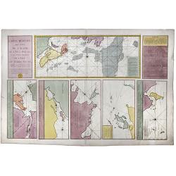
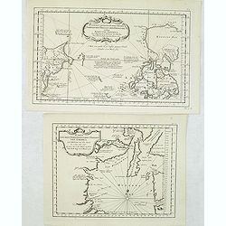
[2 charts] Kaart van Pulo Condor, of het Eiland Condor.. / Paskaart van de Baay van Padaran op de Kust van Tsiompa..
Two finely engraved and detailed charts of Condor Island and the Bay of Pandaran near Vietnam.Latitude scale, compass rose and system of rhumb lines, soundings, anchorage...
Place & Date: Amsterdam, 1753
Selling price: $350
Sold in 2011
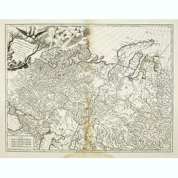
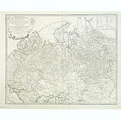
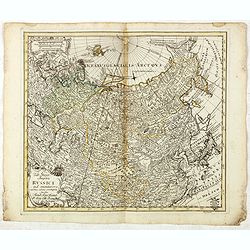
Carte Generale de L'Empire des Russes en Europe et en Asie dressée d'après les cartes de l'Atlas Russien. . .
Detailed map of Russia. extending from Poland and the Black Sea to Nova Zembla and the Jenisseniskoi region. Large decorative cartouche with six wind heads.
Place & Date: Paris, 1753
Selling price: $200
Sold in 2011
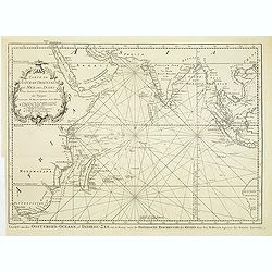
Carte de L'Ocean Oriental ou Mer des Indes..
Detailed map of the Indian Ocean depicting incomplete coastline for Western Australia marked with seven place names, including 'Baye des Chiens Marins veue par Dampierre ...
Place & Date: Paris, 1753
Selling price: $220
Sold in 2011
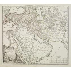
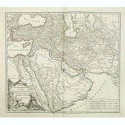
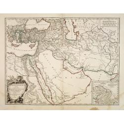
Etats du Grand Seigneur en Asie Pays des Usbecs, Arabie et Egypte. . .
Beautifully engraved map of the Arabian peninsula and Turkey printed by Robert de Vaugondy. Ornamental title cartouche on the lower left corner of two figures one of whic...
Place & Date: Paris, 1753
Selling price: $250
Sold
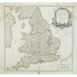
Le Royaume D'Angleterre, divise selon les sept Royaumes ou Heptrachie des Saxons, avec La Principaute De Galles, et subdivisie en Shires ou Comtes...
Decorative map of British Isles with Rococo title cartouche, engraved by E.Haussard.
Place & Date: Paris, 1753
Selling price: $25
Sold in 2014
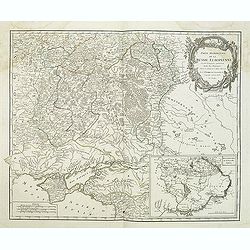
Partie méridionale de la Russie Européenne. . .
Detailed map of Ukraine and the Crimea. In lower right corner inset map of Cosaques. From his "Atlas Universel".Gilles Robert de Vaugondy (1688–1766), also kn...
Place & Date: Paris, 1753
Selling price: $75
Sold in 2011
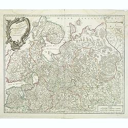
Partie Septentrionale de la Russie Européenne . . .
Detailed map of European part of Russia, including Finland, Lapland from his "Atlas Universel".Address and date in cartouche have been removed. Gilles Robert de...
Place & Date: Paris, ca. 1753
Selling price: $40
Sold in 2011
Etats du Grand Seigneur en Asie Pays des Usbecs, Arabie et Egypte. . .
Beautifully engraved map of the Arabian peninsula and Turkey printed by Robert de Vaugondy. Ornamental title cartouche on the lower left corner of two figures one of whic...
Place & Date: Paris, 1753
Selling price: $220
Sold in 2011
Partie Occidentale de l'Empire de Russie ou se trouve distinguée la Russie Européenne. . .
Detailed map of the European part of Russia from his "Atlas Universel".Gilles Robert de Vaugondy (1688–1766), also known as Le Sieur or Monsieur Robert, and h...
Place & Date: Paris, 1753
Selling price: $140
Sold in 2011
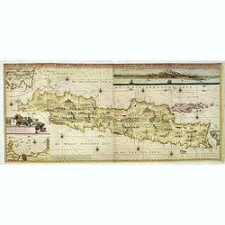
Insulae Java Pars Occidentalis Edente Hadriano Relando. . .
Second state of this finely engraved and detailed chart of Java important for its Dutch trading connections - annotated panels, clearly indicated rice fields, mountains, ...
Place & Date: Amsterdam, ca. 1753
Selling price: $2800
Sold in 2018
Pas-Kaaart van de Haven van Nangasequi.
A rare and finely engraved and detailed chart of Nagasaki.Latitude scale, compass rose and system of rhumb lines, soundings, anchorage's, etc.Very rare: only included in ...
Place & Date: Amsterdam, 1753
Selling price: $5500
Sold
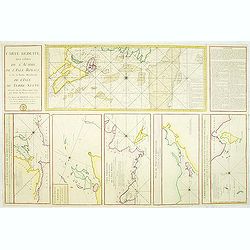
Carte Réduite des Côtes de l'Acadie et de la partie Méridionale de l'Isle de Terre-Neuve
Important chart of Nova Scotia, southern Newfoundland and the Grand Banks, prepared after Chabert's voyage to Canada to update the French charts of Eastern Canada. It sho...
Place & Date: Paris, c. 1753
Selling price: $240
Sold in 2012
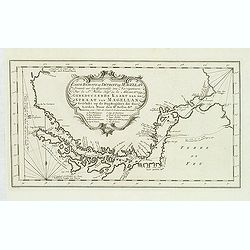
Carte Reduite du Detroit de Magellan. . .
Detailed chart of the Strait of Magellan from Cap des Vierges to Cap de la Victoire. The rococo title cartouche with title in French and Dutch "Gereduceerde Kaart va...
Place & Date: Amsterdam, 1753
Selling price: $65
Sold in 2012
Two maps of North American interest.
Lot with two maps : "Zusammen gezogene Karte von den Nordlichen Theilen der Erd-Kugel zwischen Asien und America. . . " (210x340mm.) and "Karte von den Nor...
Place & Date: Leipzig, 1753
Selling price: $100
Sold in 2013
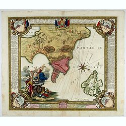
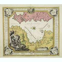
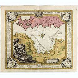
Plan du siege de Corfu par Terre et par Mer.
Uncommon map of the western coast of Corfu, including the town of Kérkira and its siege on July 5th, 1716. Upper part the coast of the Greek province of Sarande. Well-en...
Place & Date: Nuremberg, 1753
Selling price: $225
Sold in 2013
Neue und richtige Karte von dem Stillen Meere oder Mar der Sur . . . Pl.XXXVI.
Coastline map of Mexico starting from Acapulco and also including the Bay de San Francisco, the image oriented with East at the top of the image, which is largely of the ...
Place & Date: Leipzig, 1753
Selling price: $80
Sold in 2012
Partie Occidentale de l'Empire de Russie ou se trouve distinguée la Russie Européenne. . .
Detailed map of the European part of Russia, prepared after Russian maps. The map has a rather long title, the first part reading "Partie occidentale de l'empire de ...
Place & Date: Paris, 1753
Selling price: $200
Sold in 2016
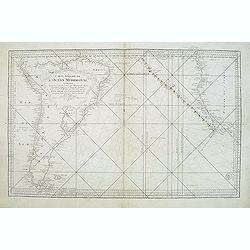
Carte réduite de l'Océan Méridional: contenant toutes les costes de l'Amérique Méridionale depuis l'Euqater jusqu' au 57 degré de latitude et les costes. . .
Map of Atlantic ocean. Showing the south-east coast of America, the south-west coasts of Africa. In the lower right the sign of the "Depôt de la Marine".Intere...
Place & Date: Paris, 1753
Selling price: $150
Sold in 2016
Antiquor Imperiorum tabula, in quâ prae caeteris, Macedonium seu Alexandri. . .
Ancient map showing the Caspian Sea in the north, in the west to show Greece, east to the Indus River, and south to include the Red Sea and the Nile River valley. Almost ...
Place & Date: Paris, 1753
Selling price: $35
Sold in 2015
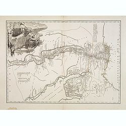
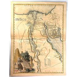
Carte de L'Egypte Ancienne et Moderne. . .
A splendid map of ancient Egypt prepared by R.P.Sicard. From AU 'Préface,' p.31a-b: problem of co-ordinates of Delta: used the observed positions of Alexandra, Peluse, C...
Place & Date: Paris, 1753
Selling price: $50
Sold in 2012
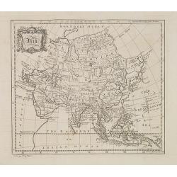
Asia.
Map of Asia from "The universal traveler or a complete description of the several foreign nations of the world" by Richard Baldwin. The work was written by Thom...
Place & Date: London, 1752-1753
Selling price: $480
Sold
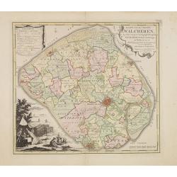
Kaart van het eiland Walcheren..
Detailed map prepared by D.W.Carel and A. Hattinga in 1751. Isaac Tirion was born in Utrecht ca. 1705. He came to Amsterdam ca. 1725. Tirion published a number of importa...
Place & Date: Amsterdam, 1753
Selling price: $210
Sold in 2013
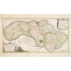
Kaarte van Schouwen en Duiveland. . .
Map of Schouwen Duiveland, prepared by D.W. Carel and Anth. Hattinga. Title cartouche accompanied by Neptune. Isaac Tirion was born in Utrecht ca. 1705. He came to Amster...
Place & Date: Amsterdam, 1753
Selling price: $27
Sold in 2013
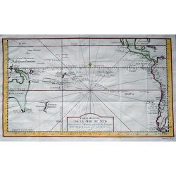
Carte réduite de la Mer du Sud...
Superb map of the South Pacific. The eastern Australia coastline is shown with an imaginary dotted line connecting both Tasmania and New Guinea. New Zealand is shown with...
Place & Date: Paris, 1753
Selling price: $425
Sold in 2013
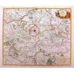
Environs de Paris
Detailed map of Paris and its surroundings with a decorative title cartouche and with cities, towns, forests. lakes, rivers & mountains clearly delineated. Gilles Rob...
Place & Date: Paris, 1753
Selling price: $71
Sold in 2014
Asia.
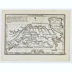
Uncommon miniature map from Gibson's "Atlas Minimus, or a New Set of Pocket Maps of the several Empires, Kingdoms, and States of the known World." John Gibson (...
Place & Date: London, 1752-1753
Selling price: $50
Sold in 2013
Cormandel.
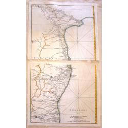
A large map on two sheets showing the east coast of the Indian peninsula. Covers from Narsapur to Nagapatinam. Includes the cities of Medapili, Kistenapatam, Arimegon, an...
Place & Date: Paris, 1753
Selling price: $25
Sold in 2016
Carte des Cercles du Haut et du Bas Rhin.
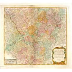
Fine engraved hand-colored map of Rhineland Germany. With decorative title cartouche featuring a bishop's hat & miter and king's crown. The River Rhine flows through ...
Place & Date: Paris, 1753
Selling price: $11
Sold in 2015
Nouvelle Carte des Isles Carolines.
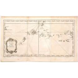
Antique map of the Caroline Islands, north east of New Guinea and east of the Philipines. Adored with a nice floral, title cartouche. Jacques Nicolas Bellin (1703 – 177...
Place & Date: Paris, 1753
Selling price: $110
Sold in 2015
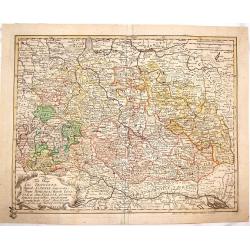
Tabula Geographica Circ. Saconiae Superioris et Inferioris.
Fine map featuring Poland and Saxony Germany. From the atlas "Atlas Geographicus Omnes Orbis Terrarum Regiones in XLI Tabulis".CARTOGRAPHER: Leonhard Euler (170...
Place & Date: Berlin, 1753
Selling price: $249
Sold in 2015
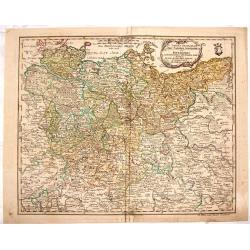
Tab. Geogr. Circ. Franconiae dimid Saxoniae Superioris.
Fine map featuring part of Poland, Germany and the Czech Republic. From the atlas "Atlas Geographicus Omnes Orbis Terrarum Regiones in XLI Tabulis".CARTOGRAPHER...
Place & Date: Berlin, 1753
Selling price: $199
Sold in 2015
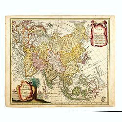
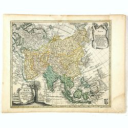
Tab: Georg : Asiae ad emendatiora quae ad huc prodierunt exempla jussu Acad. Reg. Scient. et eleg. Litt. Pruss. descripta.
Detailed and scarce map of Asia, published in "Geographischer Atlas bestehend in 44 Land-Charten, worauf alle Theile des Erd-Creyses vorgestellet werden" and ma...
Place & Date: Berlin, 1753
Selling price: $1000
Sold in 2023
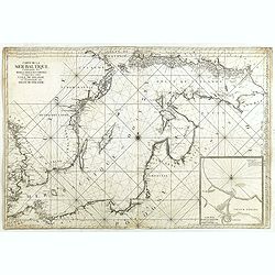
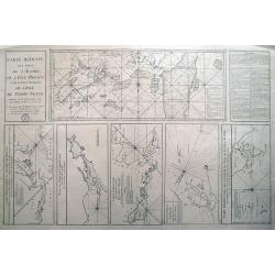
Carte de la Mer Baltique contenant les bancs, isles et costes comprises entre l'isle de Zelande et l'extrémité du Golfe de Finlande.
Important chart of the Baltic Sea with the coasts of Sweden, Finland, Russia, Estonia, Lettland, Lithuania and Poland. With many place names along the coasts, anchor plac...
Place & Date: Versailles, 1753
Selling price: $1000
Sold in 2014
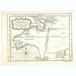
Carte réduite des Terres Australes : pour servir a l'Histoire des voyages. . . 1753.
A nice and decorative map of Australia. Van Diemenland still joined to the main island, prepared by J.N.Bellin. Part of the coastline of New Zealand appears bottom right....
Place & Date: London, 1753
Selling price: $500
Sold in 2014
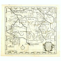
A map of some Provinces in Siberia, and the Borders toward China. . .
Detailed map of Siberia engraved by John Gibson for "The Gentleman's Magazine", founded by visionary Edward Cave, was the world's first monthly general interest...
Place & Date: London, 1753
Selling price: $150
Sold in 2014
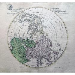
Tabula Geographica Hemisphaerii Borealis...
Uncommon map of the North Pole. Shows the fictitious Mer de L’Ouest prominently with an extensive river system connecting it with the Great Lakes. Alaska is shown parti...
Place & Date: Berlin, 1753
Selling price: $90
Sold in 2014
Carte Réduite, Des Côtes De L' Acadie, De L' Isle Royale...
Important sea chart of Nova Scotia, southern Newfoundland and the Grand Banks, prepared after Chabert's voyage to Canada to update the French charts of Eastern Canada. A ...
Place & Date: Paris, ca. 1753
Selling price: $236
Sold in 2014
Plan du siege de Corfu par Terre et par Mer.
Uncommon map of the western coast of Corfu, including the town of Kérkira and its siege on July 5th, 1716. Upper part the coast of the Greek province of Sarande. Well-en...
Place & Date: Nuremberg, 1753
Selling price: $350
Sold in 2021
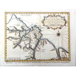
Carte de Isle de Caienne et ses Environs.
Attractive map of the coast of French Guyana on the western coast of South America. Decorated by a fine title cartouche and compass rose.From Raynal's "Histoire Phil...
Place & Date: Paris, 1753
Selling price: $22
Sold in 2016
carte des Parties du Nord-Puest de L'Amerique
A fine map featuring northern Hudson Bay in northern Ontario in Canada. Large and decorative title cartouche. The map is from Prevost's "HISTORY OF VOYAGES" de...
Place & Date: Paris, 1753
Selling price: $17
Sold in 2017
Tab: Georg : Asiae ad emendatiora quae ad huc prodierunt exempla jussu Acad. Reg. Scient. et eleg. Litt. Pruss. descripta.
Detailed and scarce map of Asia, published in "Geographischer Atlas bestehend in 44 Land-Charten, worauf alle Theile des Erd-Creyses vorgestellet werden" and ma...
Place & Date: Berlin, 1753
Selling price: $850
Sold in 2016
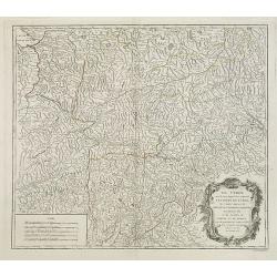
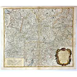
Le Tyrol sous le nom duquel. . .
De Vaugondy's large map of the mountainous Tirol region spanning portios of northern Italy, eastern Switzerland, and western Austria from his "Atlas Universel"....
Place & Date: Paris 1753
Selling price: $30
Sold in 2016
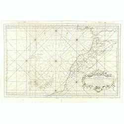
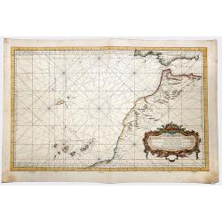
Carte Reduite Des Costes Occidentales D'Afrique Premiere Feuille contenant Les Costes de Barbarie depuis le Detroit de Gibraltar jusqu'au Cap Bojador Et Les Canaries . . . MDCCLIII
A well engraved and highly detailed of the Canary Islands, Madeira, from the Straits of Gibraltar to Cap Bojador, and the coast of Morocco. Prepared by Nicolas Bellin. T...
Place & Date: Paris, 1753
Selling price: $160
Sold in 2017
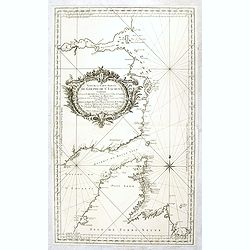
Suite de la carte réduite du Golphe de St Laurent contenant les costes de Labrador . . . le détroit de Belle-Isle et partie des cotes de l'Isle de Terre neuv
Sea , prepared and published by Nicolas Bellin. Relief shown by hachures. Depths shown by soundings.
Place & Date: Paris, 1753
Selling price: $150
Sold in 2016
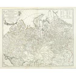
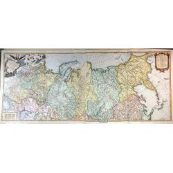
Carte Generale de L'empire des Russes en Europe et en Asie, Dressee D'apres les Cartes de L'Atlas Russien, Par le S. Robert de Vaugondy ....
An extensive map of the Russian Empire by Vaugondy, dated 1753. It stretches across the full extent of Russia from Finland to Kamchatka.There is a stunning title cartouch...
Place & Date: Paris, 1753
Selling price: $550
Sold in 2015
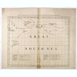
Chart containing the greater part of the South Sea to the south of the line with the islands dispersed thro' the same.
Map has extensive notes and charts noting variations in latitudes and longitudes noted by different observations. Tracks of the ships in the oceans shown along with relev...
Place & Date: London, 1753
Selling price: $750
Sold in 2015
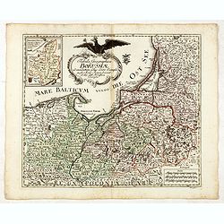
Tabula Geographica Borussiae ad emendatiora adhuc edita exempla iussu Acad. Regiae Scient. et eleg. Litt. Borussicae descripta.
Interesting map of Poland with a decorative title cartouche, and a Prussian duty stamp in the higher cartouche as usually for the Euler maps.Engraved by Nikolaus Friedric...
Place & Date: Berlin, Michaelis, 1753
Selling price: $525
Sold in 2015
Tab: Georg : Imperu Russici...
A fine original antique map of Russia, China, Japan and Korea, with a decorative title cartouche, and a Prussian duty stamp at lower right as usually for the Euler maps.T...
Place & Date: Berlin, 1753
Selling price: $250
Sold in 2016
Le Tyrol Sous le Nom Duquel L'On Comprend le Comte de Tyrol
A scarce map of the county of Tyrol in modern day Italy and Austria, It covers this historic region from Lake Constance east to Lienz, Austria, and south as far as Lake G...
Place & Date: Paris, 1753
Selling price: $50
Sold in 2016
Carte de L'Egypte Ancienne et Moderne.
A fine large map of the Nile River valley with superb detail of cities, towns, villages, canals, pyramids, mosques, ruins and more. Across the Red Sea are details of wher...
Place & Date: Paris, 1753
Selling price: $25
Sold in 2018
Gouvernemens Generaux de la Marche, du Limousin et de L'Auvergne.
A fine 1753 map of the Limousin, Marche and Auvergne regions of France by Robert de Vaugondy, dated 1753.It features from La Chatre south to Domme and from Perigueux east...
Place & Date: Paris, 1753
Selling price: $11
Sold in 2017
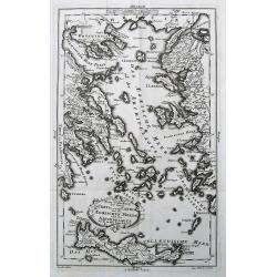
Neue Vorstellung der Insel Creta. . .
A rare map of the Aegean Sea and its islands. From Chalkidiki until Crete. With parts of the Greek and Turkish coats.After Anville, engraved by Reinhardt, published by th...
Place & Date: Frankfurt & Leipzig, 1753
Selling price: $100
Sold in 2017
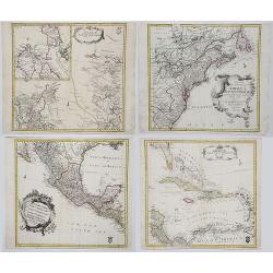
AMERICAE SEPTENTRIONALIS ad emendatiora Exemplaria adhuc edita jussu Aca. Reg. Scjent et. Pars I to IV.
Complete set of Euler's four-part map of North America, published in response to the maps of Mitchell and D'Anville. Part I covers the region from the Mississippi River ...
Place & Date: Berlin, 1753
Selling price: $1000
Sold in 2017
Zuverlässige Nachrichten von Island [with] Landkarte von Island.
>First German edition entitled "Zuverlässige Nachrichten von Island...", translation of Danish book from the previous year. Published in Copenhagen and Leip...
Place & Date: Copenhagen and Leipzig, 1753
Selling price: $1200
Sold in 2017
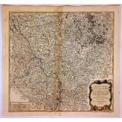
Carte des Cercles du Haut et du Bas Rhin...
An attractive detailed map of the Upper Rhine and Lower Rhine regions in western Germany. This area, known as Rhineland-Palatinate, it covers from Saarbrucken north to Pa...
Place & Date: Paris, 1753
Selling price: $17
Sold in 2017
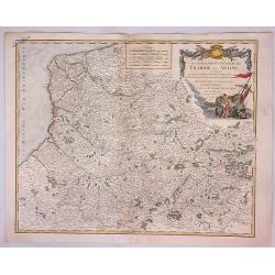
Gouvernment General de Picardie et Artois...
A beautiful de Vaugondy map of Picardy and Artois. The map covers part of the regions of Normandy (Normandie), l'Ile de France (Isle de France), and Champagne.The Pas de ...
Place & Date: Paris, 1753
Selling price: $11
Sold in 2023
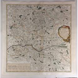
Gouvernemens Generaux du Maine et Perche de L'anjou, de la Touraine et du Saumurois.
This is a fine 1753 map of the French winemaking regions of Maine, Perche, Touraine, Anjou and Saumur. It depicts the whole or parts of the modern day departments of May...
Place & Date: Paris, 1753
Selling price: $22
Sold in 2021
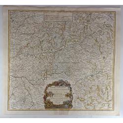
Partie Orientale du Gouvernement General de la Guenne.
An uncommon map of the Eastern Guyenne region of France, depicting the southern portion of France from Samatan east to Bruide and south as far as Toulouse, and covering t...
Place & Date: Paris, 1753
Selling price: $14
Sold in 2019
Partie Meridionale du Cercle de Haut Saxe. . .
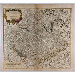
This is a striking map of the historic provinces of le Duche de Saxe, le Marquisat de Minnie, & le Landgravlat de Thuringe, in France. The title is inside a richly de...
Place & Date: Paris, 1753
Selling price: $16
Sold in 2018
Schematismus Geographiae Mathematicae. . .
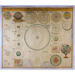
The uncommon Homann Heirs chart of the Solar System features 23 diagrams including spheres, earth, celestial globes, planetary systems, temperature zones, and projection ...
Place & Date: Nuremberg, 1753
Selling price: $90
Sold in 2017
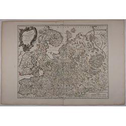
Partie Septentrionale De La Russie Europeenne... Par Le Sr Robert De Vaugondy Géog Ordin du Roi Avec privilege 1753.
Very detailed and large map of North West part of Russia, from the Gulf of Finland and Poland to the western part of Russia. Map dated.
Place & Date: 1753
Selling price: $100
Sold in 2017
A Map of the New roads & c. from Westminster Bridge.
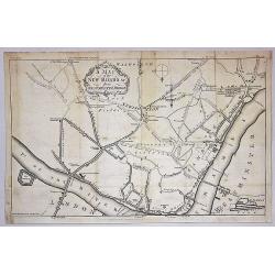
A detailed map of London, showing the road system south of the Thames River. The map is oriented with south at the top and extends from London Bridge, The Tower of London...
Place & Date: London, 1753
Selling price: $36
Sold in 2019
The Port of Callao in the South Sea with the Adjacent Islands, Rocks & Coasts.
A map by Thomas Jefferys, from The Gentleman's Magazine, published in London in 1753. This interesting map covers the present-day Lima Metropolitan Area, from the fishing...
Place & Date: London, 1753
Selling price: $96
Sold in 2018
Gouvernements Generaux du Berry, du Nivernois et du Bourbonois.
An antique hand colored map of the Berry, Nivers, Bourbon regions of France, including Bourges and Nevers in central France. Features a decorative cartouche with fruits a...
Place & Date: Paris, 1753
Selling price: $35
Sold in 2018
Carte Reduite de la Mer du Sud.
A nice map of the Pacific region as published by Bellin in Paris in the middle of the 18th century. It shows the eastern Australian coast 'as one', with Tasmania and Papu...
Place & Date: Paris, 1753
Selling price: $175
Sold in 2019
Le Tyrol sous le nom duquel. . .
Robert de Vaugondy's large map of the mountainous Tirol region spanning portions of northern Italy, eastern Switzerland, and western Austria from his "Atlas Universe...
Place & Date: Paris, 1753
Selling price: $50
Sold in 2020
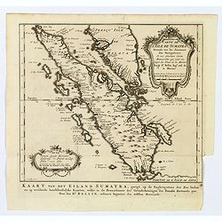
Carte de l'Isle de Sumatra. . . / Kaart van het Eiland Sumatra. . .
Map of Sumatra, also showing the tip of the Malay Peninsula and the Straits of Singapore. An unusually detailed map of the area, showing many coastal features, shoals, ba...
Place & Date: The Hague, 1753
Selling price: $245
Sold in 2019
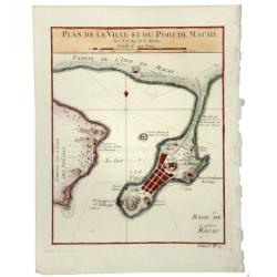
PLAN DE LA VILLE ET DU PORT DE MACAO.
A fine early map of Macao, published by Nicholas Bellin, the French Royal Hydrographer.
Place & Date: Paris, 1753
Selling price: $65
Sold in 2020
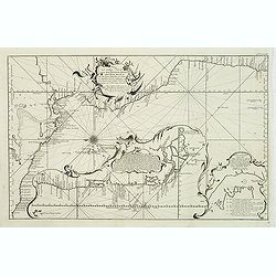
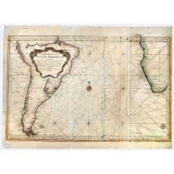
Carte Reduite de L' OCEAN MERIDIONAL Contenant Toutes les Costes de l' Amerique Meridionale. . .
A striking, large sea chart of the Southern Atlantic Ocean, showing most of the coast of South America and the Southwest coast of Africa, published by Nicolas Bellin. The...
Place & Date: Paris, 1753
Selling price: $145
Sold in 2019
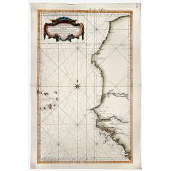
Carte Reduite DES COSTES OCCIDENTALES D' AFRIQUE Second fouille Depuis le Cap Bojador jusqu'a a la Riviere de Sierra Leona...
A beautiful map of the western coast of Africa. The map was published out of Paris by the Department de la Marine in 1765. This scarce sea chart covers the western coast ...
Place & Date: Paris, 1753
Selling price: $150
Sold in 2019
Carte Reduite DES COSTES OCCIDENTALES D' AFRIQUE Premiere fouille contenant, Les Costes de Barbarie. . .
A beautiful map of the north western coast of Africa. The map was published out of Paris by the Department de la Marine in 1765. This scarce sea chart covers the north we...
Place & Date: Paris, 1753
Selling price: $400
Sold in 2019
Tabula Geographica. HEMISPHAERII BOREALIS. . . [North-West passage, Bay of the West]
A scarce map with original full wash hand coloring, of the north pole by Johann Cristoph Rhode, showing the hypothetical Mer de L’Ouest, with an extensive river system ...
Place & Date: 1753
Selling price: $150
Sold in 2020
Carte Reduite, des Cotes De L'Acadie, de L'Isle Royale, et de la Partie Meridionale de L'Isle de Terre Neuve.
An important chart of Nova Scotia, southern Newfoundland and the Grand Banks, prepared after Chabert's voyage to Canada to update the French charts of Eastern Canada. It ...
Place & Date: Paris, 1753
Selling price: $240
Sold in 2020
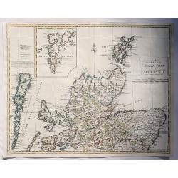
A New Map of the North Part of Scotland.
An antique map of the North Part of Scotland, drawn and engraved by Andrew Johnston, published in the third edition of William Camden's 'Britannia' in 1753. This map, and...
Place & Date: Glasgow, 1753
Selling price: $30
Sold in 2023
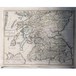
A New Map of the South Part of Scotland.
An antique map of the South Part of Scotland, drawn and engraved by Andrew Johnston, published in the third edition of William Camden's 'Britannia' in 1753. This map, and...
Place & Date: Glasgow, 1753
Selling price: $17
Sold in 2023
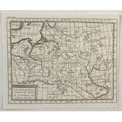
La Pologne.
An unusual 1752 Buffier copper engraved map of Poland. The map also covers Lithuania, part of Russia, Hungary, a portion of Ukraine, as well as a part of Romania. A decor...
Place & Date: Paris, 1753
Selling price: $12
Sold in 2021
(Untitled sea chart of the North Sea with parts of the coasts of England, France, Ireland and Portugal.)
Center part of a larger sea chart of the North Sea with parts of the coasts of England, France, Ireland and Portugal. Scale in lower left.Sold as is.
Place & Date: Amsterdam, 1753
Selling price: $350
Sold in 2021
Plan de la place de Corfu avec ses environs. . .
Uncommon map of the town of Kérkira and its siege in 1716, on the island of Corfu. Johann Baptist Homann's well-engraved map has a large decorative cartouche and in each...
Place & Date: Nuremberg 1753
Selling price: $325
Sold in 2023
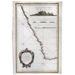
Carte Reduite d'Une Partie Des Costes Occidentales et Meridionales de l'Afrique.
A fine, beautiful colored sea chart of the Southwest Coast of Africa, published by Nicolas Bellin. With three insets showing vies of "Vue du Cap de Bonne Esperance&q...
Place & Date: Paris, 1754
Selling price: $250
Sold in 2020
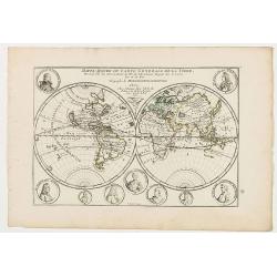
Mappe-Monde ou carte generale de la terre.
World map in two hemispheres prepared by de Lisle. The hemispheres are surrounded by small portraits of nine explorers: Père Tachard SJ, de la Salle, Dampier, Magellan, ...
Place & Date: Paris, ca. 1754
Selling price: $100
Sold in 2020
![[2 charts] Kaart van Pulo Condor, of het Eiland Condor.. / Paskaart van de Baay van Padaran op de Kust van Tsiompa..](/uploads/cache/31196-250x250.jpg)
![Zuverlässige Nachrichten von Island [with] Landkarte von Island.](/uploads/cache/39895-250x250.jpg)
![Tabula Geographica. HEMISPHAERII BOREALIS. . . [North-West passage, Bay of the West]](/uploads/cache/83551-250x250.jpg)
