Browse Listings
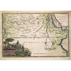
Africa Interior.
Christoph Cellarius (1638-1707). Geographia Antiqua, 1686
Date: Leipzig, Gledisch, 1732
Selling price: ????
Please login to see price!
Sold in 2019
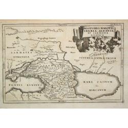
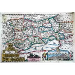
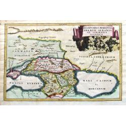
Bosporus, Maeotis, Iberia, Albania et Sarmatica Asiatica
Christoph Cellarius (1638-1707). Geographia Antiqua, 1686. A map of the Black Sea, the Caspium Sea and the area between. Embellished with a nice title-cartouche.
Date: Leipzig, Gledisch, 1732
Selling price: ????
Please login to see price!
Sold in 2009
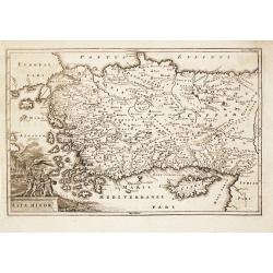
Asia Minor.
Christoph Cellarius (1638-1707). Geographia Antiqua, 1686.A map of Turkey and Cyprus. Embellished with a nice title-cartouche.
Date: Leipzig, Gledisch, 1732
Selling price: ????
Please login to see price!
Sold in 2008
[untitled] coastal views of Corsica and Porto Venere, Italy.
Unusual sheet with 20 sections of coastal views/land profiles of Italy and Corsica. Shows Porto Venere, Bastia, Calvi, and parts along the route. Each section with inform...
Date: Marseille, c1732
Selling price: ????
Please login to see price!
Sold in 2013
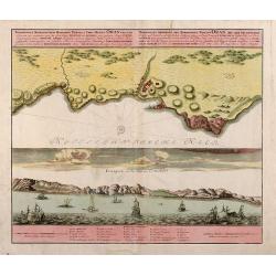
Wahrhaffte Abbildung der Barbarischen Vestung Oran
Hand colored copper engraving from Chr. Gephart by Homann Heirs, showing coast outline of Algeria (province Oran) and some sailing ships.
Date: Nuremberg, 1732
Selling price: ????
Please login to see price!
Sold in 2008
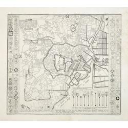
Plan de Jedo.. / Beschrijving van de stad JEDO..
The old Imperial capital, centered on the palace compound is shown in this detailed plan, based on Japanese printed plans of the late seventeenth century. From Kaempfer's...
Date: The Hague, 1732
Selling price: ????
Please login to see price!
Sold in 2008
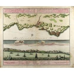
Topographica Repraesentatio Barbarici Portus et Urbis Munitae Oran / Wahrhaffte Abbildung der Barbarischen Vestung Oran
Original old colored copper engraved map from Chr. Gephart by Homann Heirs published 1732 in Nuremberg. Showing the coast outline of Algeria (province Oran) on the upper ...
Date: Nuremberg, 1732
Selling price: ????
Please login to see price!
Sold in 2013
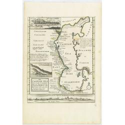
The Caspian Sea Drawn by the Czar's special command By Carl van Verden in the year 1719. 1720 and 1721. . .
Hand col. engraved map with 3 inset views. Includes geographical notes.With views of "Terky", "Derbent" and "Astracan"
Date: London, 1732
Selling price: ????
Please login to see price!
Sold in 2011
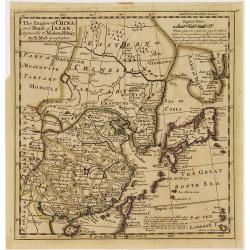
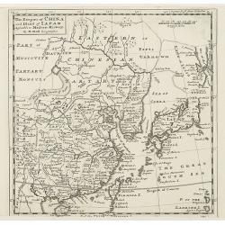
The Empire of China and Island of Japan, Agreeable to Modern History by H.Moll.
Map of China, Korea, Japan, the island Taiwan (Formosa I.). The map is of interest for the use of East Sea, the sea between Korea and Japan, here called "Sea of Kore...
Date: London, Thos. Bowles and John Bowles, 1729-1732
Selling price: ????
Please login to see price!
Sold in 2010
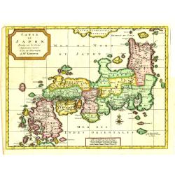
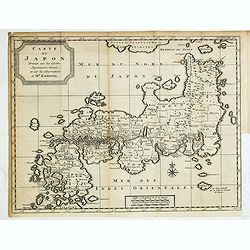
Carte du Japon, Dressée sur les Cartes Japonnoises. . .
Japan is still drawn in a nearly purely east-west position. At bottom right at the island of Fatsisio is mentioned: To this island the powerful men of Japan were sent Int...
Date: The Hague, 1732
Selling price: ????
Please login to see price!
Sold in 2019
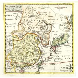
The Empire of China and Island of Japan, Agreeable to Modern History by H.Moll.
With page number 1 added in upper right corner of the scale. Map of China, Korea, Japan, the island Taiwan (Formosa I.). The map is of interest for the use of East Sea, t...
Date: London, Thos. Bowles and John Bowles, 1729-1732
Selling price: ????
Please login to see price!
Sold
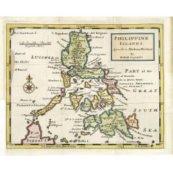
Philippine islands Agreable to Modern History. . .
Map of the Philippines, with insets of Manila, Manila vicinity, Borneo. . .
Date: London, c. 1732
Selling price: ????
Please login to see price!
Sold in 2011
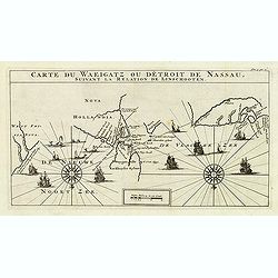
Carte Du Waeigatz ou Detroit De Nassau Suivant la Relation De Linschooten.
Decorative map of the Waeigatz Straits, between the southern part of Nova Zembla and the country of Samoyeds. Including two compass roses with radiating rhumb lines and v...
Date: Amsterdam, 1732
Selling price: ????
Please login to see price!
Sold in 2012
The Empire of China and Island of Japan, Agreeable to Modern History by H.Moll.
With page number 1 added in upper right corner of the scale. Map of China, Korea, Japan, the island Taiwan (Formosa I.). The map is of interest for the use of East Sea, t...
Date: London, Thos. Bowles and John Bowles, 1729-1732
Selling price: ????
Please login to see price!
Sold
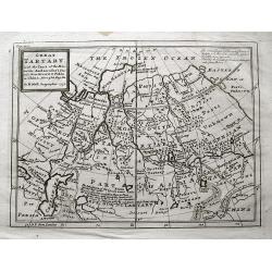
Great Tartary. With the Tract of the Moscovite Ambassadox\'s Travels from Moscow to Pekin. . .
Interesting map illustrating the route taken by the Russian Ambassador on his travels to Beijing. Showing the Great Wall, "Somer Houses" and "parts unknow...
Date: London, 1732
Selling price: ????
Please login to see price!
Sold in 2013
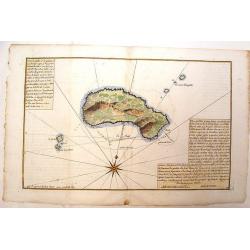
Plan de L'Isle Galita
Beautifully engraved map of the Island of Galite, north of Tunisia. Decorated with a large compass rose. Little is known about Jacques Ayrouard and he only published thi...
Date: Paris, 1732
Selling price: ????
Please login to see price!
Sold in 2014
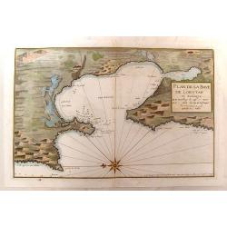
Plan de la Baye de Loristan
Nautical chart of the Gulf of Oristano in Sardinia. Decorated with a formidable compass rose, pointing due left. Little is known about Jacques Ayrouard and he only publi...
Date: Paris, 1732
Selling price: ????
Please login to see price!
Sold in 2014
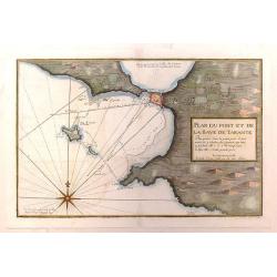
Plan du Port et de la Baye de Tarante
Nautical chart of the Gulf and Port of Taranto in Italy. Imposing large compass rose. Little is known about Jacques Ayrouard and he only published this single book on the...
Date: Paris, 1732
Selling price: ????
Please login to see price!
Sold in 2016
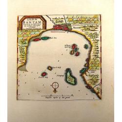
La Rade de Bantam.
Map of the Bay of Bantam on Java. Decorated with a frame cartouche. Pieter van der Aa (1659 - 1733) was a Dutch publisher best known for preparing maps and atlases. He a...
Date: Amsterdam, 1732
Selling price: ????
Please login to see price!
Sold in 2014
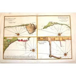
Plan du Mole de Naples, Veue en Plan de la Rade.
Four plans on one page of harbors on the Tyrrhenian Seacoast of Italy. Includes the harbors of Naples & Pozzuoli. The fortifications and buildings are well shown. Eac...
Date: Paris, 1732
Selling price: ????
Please login to see price!
Sold in 2014
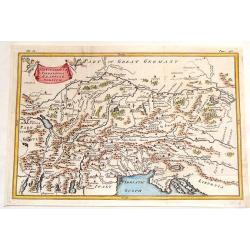
The Countries of Vindelicia, Rhaetia & Noricum.
Finely copper engraved map of ancient Switzerland, Germany, Austria, italy and Hungary. Interesting drapery style title cartouche held in the air by a pair of putti. Chri...
Date: London, 1732
Selling price: ????
Please login to see price!
Sold in 2015
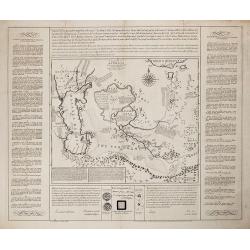
Charta, in qua eruditis spectanda exhibetur pars Asiae. . .
Map of the area east of the Caspian Sea,the Lake Aral is shown almost in centre of map. The map shows parts of Kazakhstan, Turkmenistan, Uzbekistan and Kirgistan. The map...
Date: London, 1732
Selling price: ????
Please login to see price!
Sold in 2013
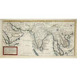
A map of the continent of the East-Indies &c. Containing the territories, settlements, and factories of the Europeans. Explaining what belongs to England, France, Holland, Denmark, Portugal &c. By H. Moll Geographer. Printed and sold by T. Bowles next ye
Map of the Continent of the East-Indies &c. Containing the Territories, Settlements, and Factories of the Europeans. Explaining what belongs to England, France, Holla...
Date: London, 1732
Selling price: ????
Please login to see price!
Sold in 2014
Caarte van Neufchatel et Valangin.
Highly detailed and decorative copper engraved map, showing the Lake Neuchâtel and surrounding area. Richly embellished with sailing ships on the lake, the title carto...
Date: Amsterdam, 1732
Selling price: ????
Please login to see price!
Sold in 2013
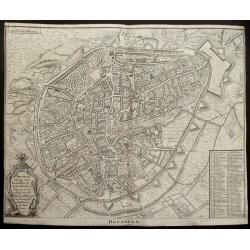
(Double page plan of Brussels)
Striking and highly detailed copper engraved city plan of Brussels, by Isaac Basire. For Mr. Tindal's Continuation of Mr. Rapin's History. This plan depicts roads, waterw...
Date: London, 1732
Selling price: ????
Please login to see price!
Sold in 2014
Carte du Japon, Dressée sur les Cartes Japonnoises. . .
Japan is still drawn in a nearly purely east-west position. At bottom right at the island of Fatsisio is mentioned: To this island the powerful men of Japan were sent Int...
Date: The Hague, 1732
Selling price: ????
Please login to see price!
Sold in 2014
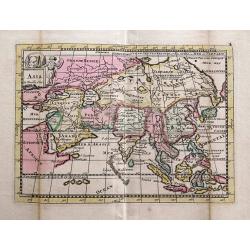
Asia la Feuille Exc.
Charming and unusual map of Asia, published by J. Ratelband. Includes several misshaped coast lines and distorted islands. Coloring indicating kingdoms and areas. A small...
Date: Amsterdam, c1732
Selling price: ????
Please login to see price!
Sold in 2014
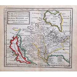
The Isle of California, New Mexico, Louisiane, The River Misisipi and the Lakes of Canada.
Printed in London, 1732. From Herman Moll's "A System of Geography." A scarce and remarkable map of California.California is as an island, with over a dozen pla...
Date: London, 1732
Selling price: ????
Please login to see price!
Sold in 2014
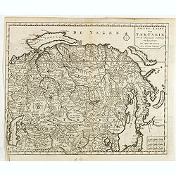
Nieuwe kaart Tartarie Na de adderlaaste ondekking int ligt gebragt. . .
Map of Siberia , Novaya Zemlya , China, Korea and part of Japan with the legendary "Compagnie Land".
Date: Amsterdam, 1732
Selling price: ????
Please login to see price!
Sold in 2019
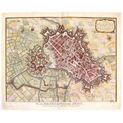
Plan of the City and Citadel of Lisle. (Lille)
Detailed city plan of the city and citadel of Lille in northern France. It is from Mr. Tindal's continuation of Mr. Tindal's "HISTORY OF ENGLAND" published in L...
Date: London, 1732
Selling price: ????
Please login to see price!
Sold in 2020
Etat abregé de la Maison du Grand Seigneur. . . [Views of Constantinople]
This impressive engraving is a wonderful example of Chatelain’s elegant plates. Ornamented with 3 vignettes: Vuë du Serrail de Constantinople, Vuë de Constantinople, ...
Date: Amsterdam, ca. 1732
Selling price: ????
Please login to see price!
Sold in 2015
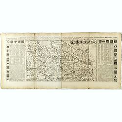
Carte générale des états du Czar Empereur de Moscovie ou l'on voit . . .
General map of Russia of the states of the Czar Emperor of Muscovy showing his possessions in Europe and Asia. To the left and right explanatory panels with coats of arms...
Date: Amsterdam, ca. 1732
Selling price: ????
Please login to see price!
Sold in 2017
Carte des Estats de la Couronne de Suède avec des Remarques et des Tables Tres Instructives.
Map shows Denmark with the southern part of Sweden and the northern coast of Germany with the island Rügen.This impressive map is the sixth plate in volume four of Chate...
Date: Amsterdam, 1732
Selling price: ????
Please login to see price!
Sold in 2023
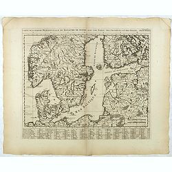
Carte de la Partie Meridionale du Royaume de Suede...
Map of the southern part of Scandinavia with letter key at the bottom.Zacharie Chatelain (d.1723) was the father of Henri Abraham (1684-1743) and Zacharie Junior (1690-17...
Date: Amsterdam, ca. 1732
Selling price: ????
Please login to see price!
Sold in 2017
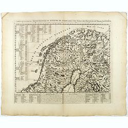
Carte de la Partie Septentrionale du Royaume de Suede...
Map of the northern part of Scandinavia. It covers the area straddling Norway, Sweden, Finland and Russia.Zacharie Chatelain (d.1723) was the father of Henri Abraham (168...
Date: Amsterdam, ca. 1732
Selling price: ????
Please login to see price!
Sold in 2017
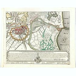
Plan de la Ville, Faubourg et environs de Dantzick, dédié et présenté à la Reine. (Gdansk )
Decorative and rare plan of Gdansk and the castle Weichselmunde by Jean de Beaurain (1696-1771). With a dedication to Marie Leszczynska (Queen of France). At the bottom o...
Date: Paris, 1732
Selling price: ????
Please login to see price!
Sold in 2020
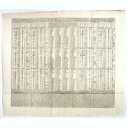
Carte du calendrier ancien rangé en parallèle avec le nouveau et l'usage qu'on en peut faire pour l'intelligence de l'histoire par ou on fait voir la manière de . . .
Chart of the old and new calendars.Henri Abraham Chatelain (1684 – 1743) was a Huguenot pastor of Parisian origins. He lived consecutively in Paris, St. Martins, London...
Date: Amsterdam, 1720-1732
Selling price: ????
Please login to see price!
Sold in 2023
Carte Genealogique des Rois de Portugal & Partie des Differentes Branches qu'ils ont Formee avec le Blazon de leurs Armes & de leurs Alliances.
A genealogical tree of the Portuguese Kings with descriptive, from Chatelain's monumental 7 volume "Atlas Historique". Henri Abraham Chatelain (1684 – 1743) w...
Date: Amsterdam, 1720-1732
Selling price: ????
Please login to see price!
Sold in 2018
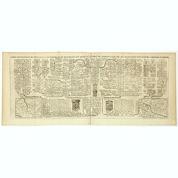
Carte genealogique des Ducs et Rois de Boheme et de Hongrie qui ont regné ou gouverné ces differents etats avec des instructions pour conduire à l'histoire de POLOGNE. . .
A genealogical tree of the Bohemian ducks and kings, from Chatelain's monumental 7 volume "Atlas Historique". This two sheet print features two maps (115 x 153m...
Date: Amsterdam, 1719-1732
Selling price: ????
Please login to see price!
Sold in 2017
Carte pour servir à l'intelligence de l'histoire eclessiastique et a faire connoitre les persecutions de l'Eglise . . .
Two sheet engraving explaining the various religious divisions in Europe. In the center a map (210 x 350mm.) of Europe and Turkey. To the lower left a map of Egypt and to...
Date: Amsterdam, 1720-1732
Selling price: ????
Please login to see price!
Sold in 2017
Richtige Marsch Carten der Saltzburgischen Emigraten oder deren Zug aus Saltzburg durch das Reich in die Konigl. Preusisch Lande.
An scarce and interesting historical map by Peter Conrad Monath, covering the 'Great Emigration' that came about on the 31st October 1731, after the (then) Archbishop of ...
Date: Nuremberg, 1732
Selling price: ????
Please login to see price!
Sold
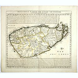
Nouvelle carte de l'Ile de Ceylon, avec des remarques Historiques.
Map of Ceylon.Henri Abraham Chatelain (1684 – 1743) was a Huguenot pastor of Parisian origins. He lived consecutively in Paris, St. Martins, London (c. 1710), the Hague...
Date: Amsterdam, 1719-1732
Selling price: ????
Please login to see price!
Sold in 2017
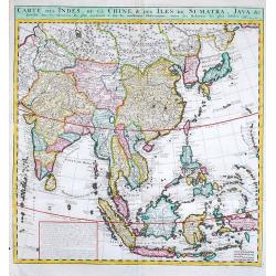
Carte des Indes, de la Chine & des Isles de Sumatra, Java &c.
Fine map of South East Asia.Zacharie Chatelain (d.1723) was the father of Henri Abraham (1684-1743) and Zacharie Junior (1690-1754).They worked as a partnership publishin...
Date: Amsterdam, 1719-1732
Selling price: ????
Please login to see price!
Sold in 2019
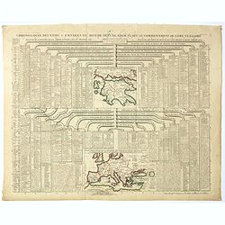
Chronologie des Etats & Empires du Monde depuis Adam jusqu'au au Commencement de l'Ere Vulgaire.
Graving showing the timeline of earth history from Adam to the beginning of the birth of Christ with inlay map of Peloponnese (120x130mm.) and in bottom Europe in the Bro...
Date: Amsterdam, 1720-1732
Selling price: ????
Please login to see price!
Sold in 2017
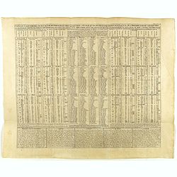
Carte du calendrier ancien rangé en parallèle avec le nouveau et l'usage qu'on en peut faire pour l'intelligence de l'histoire par ou on fait voir la manière de . . .
Chart of the old and new calendars.Henri Abraham Chatelain (1684 – 1743) was a Huguenot pastor of Parisian origins. He lived consecutively in Paris, St. Martins, London...
Date: Amsterdam, 1720-1732
Selling price: ????
Please login to see price!
Sold in 2018
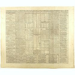
Carte pour introduire à la chronologie et à trouver les années devant et après Jésus Christ par le moyen des périodes Iulienne, Dionysienne et par les trois cycles comme aussi pour trouver la fête de Pasque. . .
An engraved table showing the years before and after Jesus Christ through the Julian and Gregorian calendars. Henri Abraham Chatelain (1684 – 1743) was a Huguenot pasto...
Date: Amsterdam, 1720-1732
Selling price: ????
Please login to see price!
Sold in 2020
Carte genealogique des Ducs et Rois de Boheme et de Hongrie qui ont regné ou gouverné ces differents etats avec des instructions pour conduire à l'histoire de POLOGNE. . .
A genealogical tree of the Bohemian Duchess and Kings, from Chatelain's monumental 7 volume "Atlas Historique". This two sheet print features two small maps (11...
Date: Amsterdam, 1719-1732
Selling price: ????
Please login to see price!
Sold in 2018
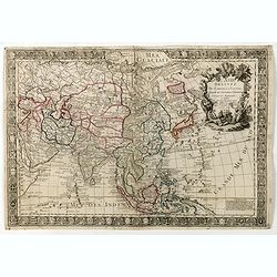
L'Asie dressée sur de nouveaux memoires Assujetis. . .
Decorative and separately issued map of Asia with engraved border composed of the coats of arms of Asian nations and is embellished with a large allegorical title cartouc...
Date: Paris, 1732
Selling price: ????
Please login to see price!
Sold in 2022
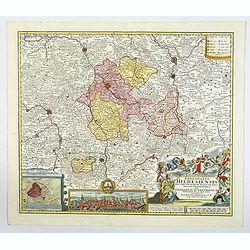
Episcopatus Hildesiensis nen non vicinorum Statuum delineatio Geographica. . .
Johann Baptist Homann's well-engraved map of the Bishopric of Hildesheim has a large decorative cartouche and a plan and profile inset of Hildesheim. The map has a tremen...
Date: Nuremberg 1732
Selling price: ????
Please login to see price!
Sold in 2020
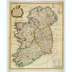
A Map of the Kingdom of Ireland.
A nice example of Seale's general map of Ireland produced for Tindal's "Continuation of Rapin's History." This map is quite detailed, accurate, and easy to read...
Date: London, ca 1732
Selling price: ????
Please login to see price!
Sold in 2019
Bosporus, Maeotis, Iberia, Albania, et Sarmatia Asiatica.
An historical map of the Black Sea and the Caspian Sea, including todays Crimea, Armenia, Georgia, Azerbaijan, parts of Turkey and Russia. With cities, rivers, mountains,...
Date: Leipzig, 1732
Selling price: ????
Please login to see price!
Sold in 2019
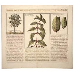
Description, Figure, et Qualite de L' Arbre du CAFÉ; Avec la Maniere de le Cultiver et d'en Cueiller le Fruit.
A large, old colored engraving showing the coffee plant and bean. Descriptive text in French below the images. Originates from: "Atlas Historique..." (Historic ...
Date: Amsterdam, 1732
Selling price: ????
Please login to see price!
Sold in 2020
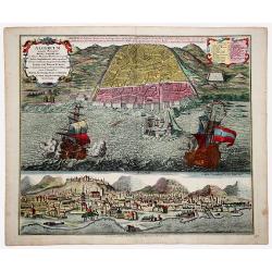
ALGERUM munita Metropolis REGNI ALGERIANI in littore Africano Barbariae in monte delici Amphitheatri instar quadrata forma... SEDES EST BASSAE TURCICI... (ALGIERS)
An impressive, originally colored sheet with two views of the town of Alger. A bird-eye view of the town and its harbor with two large galleons and a panoramic view, from...
Date: Ausburg 1732
Selling price: ????
Please login to see price!
Sold in 2021
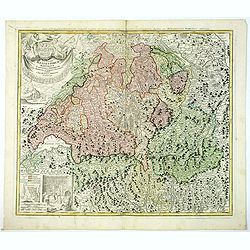
Potentissimae Helvetiorum Reipublicae Cantones Trediecim cum Foederatis et Subjectis Provinciis . . .
A wonderful map of Switzerland, showing the 13 Cantons, by Johann Baptiste Homann, head of one of the most prolific German map publishing houses of the entire 18th Centur...
Date: Nuremberg, 1732
Selling price: ????
Please login to see price!
Sold in 2019
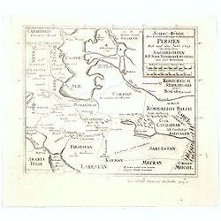
Schau-Buhne des Letzern Kriegs in dem Konigreich Persien. . .
Judasz Tadeusz Krusinski (1675 –1756) was a Polish Jesuit who lived in the Safavid Empire from 1707 to 1725/1728. He acted as an intermediary between the Papacy and the...
Date: Germany, ca 1732
Selling price: ????
Please login to see price!
Sold in 2020
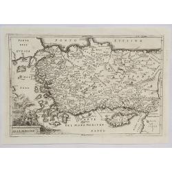
Asia Minore.
An interesting map of the region of Asia Minor originally by Cellarius in 1732. It features a decorative cartouche.Christoph (Keller) Cellarius (1638–1707) was a Germa...
Date: Venice, 1732
Selling price: ????
Please login to see price!
Sold in 2021
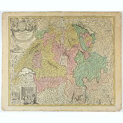
Potentissimae Helvetiorum Reipublicae Cantones Trediecim cum Foederatis et Subjectis Provinciis . . .
Detailed map of Switzerland, showing the 13 Cantons, by Johann Baptiste Homann, head of one of the most prolific German map publishing houses of the entire 18th Century. ...
Date: Nuremberg, 1732
Selling price: ????
Please login to see price!
Sold in 2025
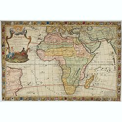
L'Afrique Dressée Sur les Relations et nouvelles decouvertes . . .
Decorative map of Africa with a large allegorical cartouche featuring a female Europe and a male Africa, both holding manacles, representing the valuable slaves trade...
Date: Paris, 1732
Selling price: ????
Please login to see price!
Sold in 2022
[Recueil de Voyages au Nord].
Extract from volume III of the "Recueil de Voyages au Nord", containing the reports of Linschoten's voyages, the first to the North through the Strait of Nassau...
Date: Amsterdam, Bernard, 1732
Selling price: ????
Please login to see price!
Sold in 2022
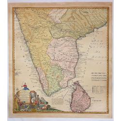
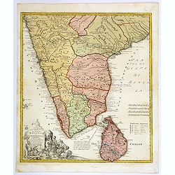
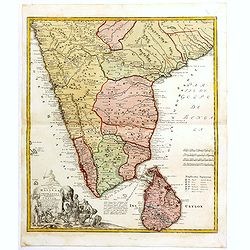
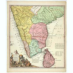
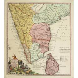
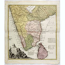
Peninsula Indiae Malabar Coromandel Ceylon.
Johann Baptist Homann's well-engraved map of southern India and Ceylon.Johann Baptist Homann (1663-1724) was a German engraver and publisher, who established himself and ...
Date: Nuremberg, 1733
Selling price: ????
Please login to see price!
Sold in 2020
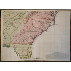
A Map of the British Empire in America (Southeastern Section of Popple Map Sheet 10)
>A Map of the British Empire in America with the French, Spanish and the Dutch Settlements adjacent thereto. Henry Popple's Map of the British Empire in America ma...
Date: London, 1733
Selling price: ????
Please login to see price!
Sold in 2023
Peninsula Indiae Malabar Coromandel Ceylon.
Johann Baptist Homann's well-engraved map of southern India and Ceylon.Johann Baptist Homann (1663-1724) was a German engraver and publisher, who established himself and ...
Date: Nuremberg 1733
Selling price: ????
Please login to see price!
Sold
Peninsula Indiae Malabar Coromandel Ceylon.
Johann Baptist Homann's well-engraved map of southern India and Ceylon.Johann Baptist Homann (1663-1724) was a German engraver and publisher, who established himself and ...
Date: Nuremberg 1733
Selling price: ????
Please login to see price!
Sold
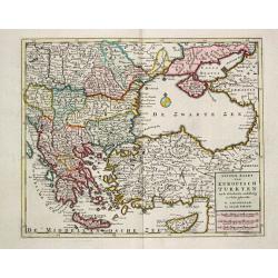
Nieuwe Kaart van Europisch Turkyen.
Izaak Tirion (d. 1769) Amsterdam publisher. His ' Nieuwe en beknopte handatlas' saw 6 editions between before 1740 and after 1784. Also ' Tegenwoordige staat van alle vol...
Date: Amsterdam, 1733
Selling price: ????
Please login to see price!
Sold
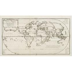
Mappe-monde pour servir a l'histoire des decouvertes et conquestes des Portugais dans le nouveau monde.
Oval world map showing some of the tracks of early Portuguese voyagers, prepared by Joseph Francois Lafitau (1681-1746), included in: "Histoire des decouvertes et co...
Date: Paris, 1733
Selling price: ????
Please login to see price!
Sold in 2008
Nouvelle Histoire Abregée de la Vie des Roys de France.
A listing of all the French Kings from 418 until 1715 from an Atlas Carte générale de la Monarchie Française 1730-1733 published by the French cartographer La Jaisse. ...
Date: Paris, 1733
Selling price: ????
Please login to see price!
Sold in 2009
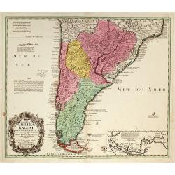
Typus Geographicus Chili Paraguay Freti Magellanici &c ?
An attractive map with much information and engraved notes. With inset map of the Strait of Magellan.
Date: Nuremberg, 1733
Selling price: ????
Please login to see price!
Sold in 2010
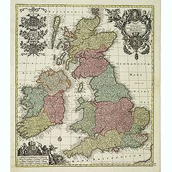
Tabula Novissima Accuratissima Regnorum Angliae, Scotiae, Hiberniae. . .
Decorative map of the British Isles, with 5 large coats of arms, portrait and two large decorative allegorical cartouches. The garlanded cartouche features a portrait of ...
Date: Augsburg, ca.1733
Selling price: ????
Please login to see price!
Sold in 2013
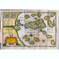
Carte de l'Isle du Mariage. (included in Almanach du Mariage Pour l'Année 1733
This guide book includes a very fine cartographic curiosity: "Carte de l'Isle du Mariage" (map of the wedding island.)Love and marriage have always been among t...
Date: Paris, C. Guillaume, 1733
Selling price: ????
Please login to see price!
Sold in 2012
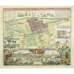
Der Hollaendisch-Ostindianischen Compagnie Weltberühmte Haupt - Handels und Niederlags stadt BATAVIA..
Very fine decorative town-plan of Batavia (Jakarta) showing the City and its immediate environs, the surrounding rice fields intersected by a network of waterways, canals...
Date: Nuremberg, 1733
Selling price: ????
Please login to see price!
Sold in 2012
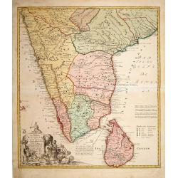
Peninsula Indiae Malabar Coromandel Ceylon.
Johann Baptist Homann's well-engraved map of southern India and Ceylon. Colonial possessions are represented by little flags to which a lettered key has been added.Johann...
Date: Nuremberg 1733
Selling price: ????
Please login to see price!
Sold in 2015
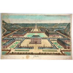
Glinike.
Striking print showing a panoramic view of Gliencke Palace just outside of Berlin, Germany. Published by Johann Georg Merz (1694-1762). Etched by Jean Baptiste Broebes (...
Date: Augsburg, 1733
Selling price: ????
Please login to see price!
Sold in 2016
Tabula Americae Specialis Geographica Regni Peru, Brasiliae, Terra Firmae & Reg: Amazonum, Secundum relationes de Herrera . . . [together with]
A good and clean copy of Homann's map of the northern part of South America. The map is on the Valley of the Amazon and delineates the Amazon and its labyrinth of tributa...
Date: Nuremberg, 1733
Selling price: ????
Please login to see price!
Sold in 2016
[JESUIT PARAGUAY], - PARAQUARIA in qua R.R. P.P Soc. Jesu suas Missiones promovere, 1733
This map depicts the Jesuit missions in Paraguay and Uruguay with parts of Brazil, Bolivia, Argentina and Chile. The Parana and Paraguay Rivers are well defined, with the...
Date: Vienna, 1733
Selling price: ????
Please login to see price!
Sold in 2022
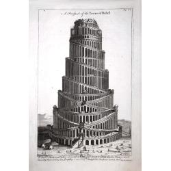
A Prospect of the Tower of Babel.
A Prospect of the Tower of Babel, engraved by J Mynde. The inscription beneath reads: To the right reverend Father in God John Lord Bishop of Oxford this plate is most hu...
Date: London, 1733
Selling price: ????
Please login to see price!
Sold in 2017
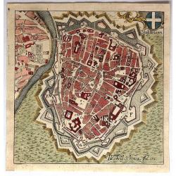
Stat Wienn.
Uncommon little bird's eye view of Vienna, Austria by Adam Desing in 1733. It features a decorative cartouche of the Austrian cross. Desing was an eighteenth century Bene...
Date: Ensdorf, 1733
Selling price: ????
Please login to see price!
Sold in 2018
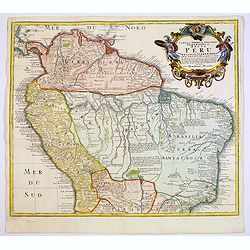
Tabula Americae Specialis Geographica Regni Peru, Brasiliae, Terra Firmae & Reg: Amazonum, Secundum relationes de Herrera. . .
A good and clean copy of the top half of Homann's map of the northern part of South America. The map is on the Valley of the Amazon and delineates the Amazon and its laby...
Date: Nuremberg, 1733
Selling price: ????
Please login to see price!
Sold in 2017
Peninsula Indiae Citra Gangem Hoc est Orae Celeberrimae Malabar & Coromandel...
A large and attractive map of Sri Lanka and the southern part of the Indian Peninsula, with an elaborate cartouche showing an elephant and elaborately clothed indigenous ...
Date: Nuremberg, 1733
Selling price: ????
Please login to see price!
Sold in 2018
Peninsula Indiae Malabar Coromandel Ceylon.
Johann Baptist Homann's well-engraved map of southern India and Ceylon.
Date: Nuremberg 1733
Selling price: ????
Please login to see price!
Sold in 2018
Peninsula Indiae Malabar Coromandel Ceylon.
Johann Baptist Homann's well-engraved map of southern India and Ceylon. This beautiful 1733 map of Southern India and Sri Lanka or Ceylon was issued by Homann Heirs. It i...
Date: Nuremberg 1733
Selling price: ????
Please login to see price!
Sold in 2020
![[untitled] coastal views of Corsica and Porto Venere, Italy.](/uploads/cache/92545-250x250.jpg)
![Etat abregé de la Maison du Grand Seigneur. . . [Views of Constantinople]](/uploads/cache/36516-250x250.jpg)

![[Recueil de Voyages au Nord].](/uploads/cache/48310-250x250.jpg)
![Tabula Americae Specialis Geographica Regni Peru, Brasiliae, Terra Firmae & Reg: Amazonum, Secundum relationes de Herrera . . . [together with]](/uploads/cache/37397-250x250.jpg)
![[JESUIT PARAGUAY], - PARAQUARIA in qua R.R. P.P Soc. Jesu suas Missiones promovere, 1733](/uploads/cache/98366-250x250.jpg)
