Browse Listings
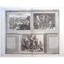
Sasquesahanok, Village palissade en Virginie, partie de l'Amerique/ Temple ou est l'Idole de Vens, adoree en Virginie/ Habillemens des Hommes et Femmes de Virginie
Copper engraving of Native Americans of Virginia by John Harris, from the: 'Navigantium atque Itinerantium Bibliotheca'; or, 'A Compleat Collection of Voyages and Travels...
Date: London, 1705
Selling price: ????
Please login to see price!
Sold in 2015
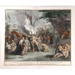
Cruelty Towards the Seven Brethren.
An interesting copper engraving by Bernard Picart. It features different forms of torture including boiling and tooth extraction. It was engraved by Pool.Bernard Picart (...
Date: Amsterdam, ca. 1705
Selling price: ????
Please login to see price!
Sold in 2019
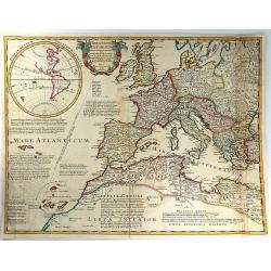
Theatrum Historicum ad annum Christi quadringentesimu in quo tu Imperii Romani tu Barbarorum...
A splendid map of the Roman Empire, showing its extent in 400 AD, covering most of North Africa, Southern Europe, and Britain as far as the Antonine Wall in Scotland. Ins...
Date: Paris, 1705
Selling price: ????
Please login to see price!
Sold in 2016
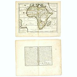
L'Afrique dressée sur les dernieres Relations . . .
An interesting small map of Africa by Nicolas de Fer. From his rare "Petit et Nouveau Atlas". The first edition was published in 1697 and was republished in 170...
Date: Paris, 1705
Selling price: ????
Please login to see price!
Sold in 2016
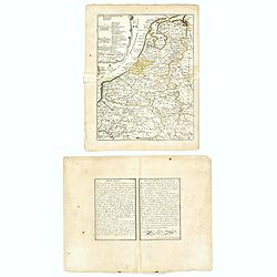
Les XVII Provinces Païs Bas Divisées.
An interesting small map of the Netherlands by Nicolas de Fer. From his rare "Petit et Nouveau Atlas". The first edition was published in 1697 and was republish...
Date: Paris, 1705
Selling price: ????
Please login to see price!
Sold in 2020
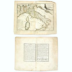
L'Italie divisée en ses principaux estats.
An interesting small map of Italy by Nicolas de Fer. From his rare "Petit et Nouveau Atlas". The first edition was published in 1697 and was republished in 1705...
Date: Paris, 1705
Selling price: ????
Please login to see price!
Sold in 2018
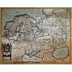
Novissima Russiae Tabula.
A fine and attractive map of Russia.Published by the Allard family in Amsterdam.
Date: Amsterdam, 1705
Selling price: ????
Please login to see price!
Sold in 2017
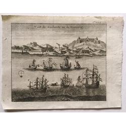
Fort de Zeelande ou de Taiovang.
A rare view of Fort Zeelandia, which was a fortress built over ten years from 1624–1634 by the Dutch East India Company, in the town of Anping (Tainan) on the island of...
Date: ca, 1705
Selling price: ????
Please login to see price!
Sold in 2016
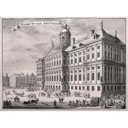
'T Stadhuys van Amsterdam.
Fine view of the City Hall in Amsterdam. A very busy scene with numerous people, horses, dogs, etc. Published in 'Algemene Wereldtbeschrijving', by Francois Halma, printe...
Date: Leeuwarden, 1705
Selling price: ????
Please login to see price!
Sold in 2016
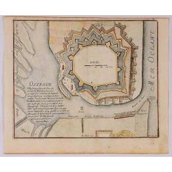
Ostende Ville forte et port de Mer du Comte de Flandre.
A fine view of the fort of Ostende in Belgium. It was published in Paris in 1695.It was engraved by Harmanus van Loon and is from “Atlas Les Forces de le Europe”.Nich...
Date: Paris, 1705
Selling price: ????
Please login to see price!
Sold in 2018
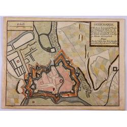
Oudenarde Ville Forte du Comte de Flandre.
A fine plan illustrating the important fortification of Oudenard in Belgium.Nicolas de Fer held the title of Geographer at Louis XIV's court. He was one of the most proli...
Date: Paris, 1705
Selling price: ????
Please login to see price!
Sold in 2019
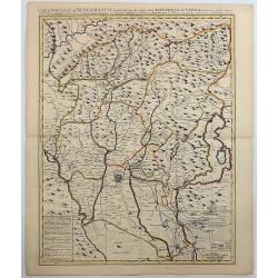
Carte Nouvelle du Bergamasco Faisant Partie des Etats de la Venise.
This fine map is centered on Bergamo in the Lombardy region of northern Italy. Excellent detail of towns, roads, forts, and more. The map was created to depict the encamp...
Date: Amsterdam, 1705
Selling price: ????
Please login to see price!
Sold in 2017
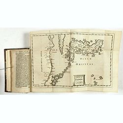
Description de l'île Formosa en Asie, du gouvernement, des loix, des mœurs & de la religion des habitans. . .
First French edition of one of the most famous fictitious travel books ever published. It offered a complete and detailed description of the island Formosa and the life a...
Date: Amsterdam, d'Estienne Roger, 1705
Selling price: ????
Please login to see price!
Sold
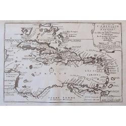
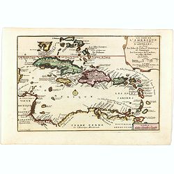
Les Isles De L'Amerique Connues Sous le Nom D'Antilles, ou Sont les Isles de Cuba, St. Domingue et Jamaique, les Lucayes, les Caribes, et celles du Vent.
A detailed copper engraved map of the West Indies, from Florida and the Bahamas until Venezuela and Trinidad. With many place names, islands, bays, and several notes on t...
Date: Paris, 1705
Selling price: ????
Please login to see price!
Sold in 2017
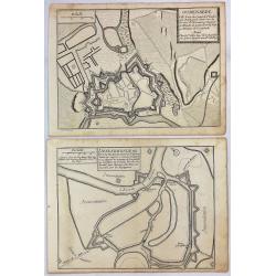
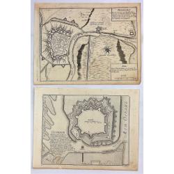
Dendermonde Ville Forte des Pas Bas, du Comte de Flandres & Oudenarde Ville Forte du Comte de Flandre. . .
Dendermonde and Oudenarde, Two (2) Low Country copperplate engravings of fortification cities from Flanders in Belgium, by De Fer in Paris in 1705. From "Les Forces ...
Date: Paris, 1705
Selling price: ????
Please login to see price!
Sold in 2019
Ostende Ville Forte & Nieuport Port de Mer.
Ostende and Nieuport, Two (2) Low Country copperplate engravings of fortification cities from Flanders in Belgium. By De Fer in Paris in 1705. From "Les Forces de L'...
Date: Paris, 1705
Selling price: ????
Please login to see price!
Sold in 2019
[Title page] L'Atlas curieux ou le Monde réprésente dans des cartes. . .
Engraved title page from Nicolas de Fer's "L'Atlas curieux ou le Monde réprésente dans des cartes. ". In lower part figures symbolizing mapmaking and architec...
Date: Paris, 1705
Selling price: ????
Please login to see price!
Sold in 2022
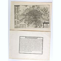
Le plan de la ville, cité, et université de Paris. Capitale du Royaume de France.
Engraved plan of Paris with a lettered key to the most important buildings in town, from Nicolas de Fer's "L'Atlas curieux ou le Monde réprésente dans des cartes. ...
Date: Paris, 1705
Selling price: ????
Please login to see price!
Sold
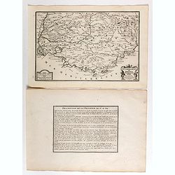
Gouvernement de Provence, generalité d'Aix.
Map of the Provence region, from Nicolas de Fer's "L'Atlas curieux ou le Monde réprésente dans des cartes. "The "Atlas Curieux" is a geographic ency...
Date: Paris, 1705
Selling price: ????
Please login to see price!
Sold
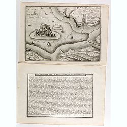
Isle, Rocher, Ville, château et Abbaye du Mont St Michel situé aux confins de Normandie et de Bretagne.
Engraved view of the Mont St Michel, with a numbered key (1-7) from Nicolas de Fer's "L'Atlas curieux ou le Monde réprésente dans des cartes. "The "Atlas...
Date: Paris, 1705
Selling price: ????
Please login to see price!
Sold
Plan de ville d'Orléans.
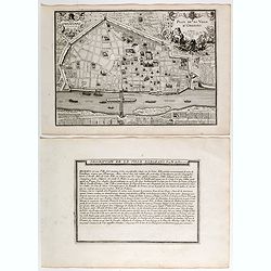
Engraved plan of the city of Orléans, from Nicolas de Fer's "L'Atlas curieux ou le Monde réprésente dans des cartes. "The "Atlas Curieux" is a geog...
Date: Paris, 1705
Selling price: ????
Please login to see price!
Sold
Lion.
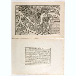
Engraved plan of the city of Lyon, from Nicolas de Fer's "L'Atlas curieux ou le Monde réprésenté dans des cartes. "The "Atlas Curieux" is a geograp...
Date: Paris, 1705
Selling price: ????
Please login to see price!
Sold
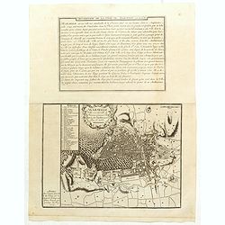
Marseille, ville considerable de Provence fameux port sur la mer de Mérditerranée.
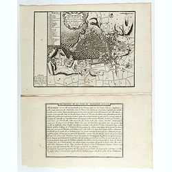
Engraved plan of the city of Marseille, with a numbered key (1-31), from Nicolas de Fer's "L'Atlas curieux ou le Monde réprésente dans des cartes. "The "...
Date: Paris, 1705
Selling price: ????
Please login to see price!
Sold
Pont du Gard / Amphiteatre de Nismes.
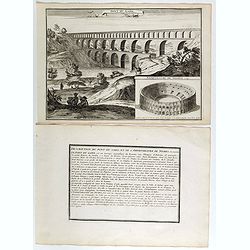
Engraved view of the Pont du Gard is near Nîmes, with a view of Nîmes famous amphitheater, from Nicolas de Fer's "L'Atlas curieux ou le Monde réprésente dans des...
Date: Paris, 1705
Selling price: ????
Please login to see price!
Sold
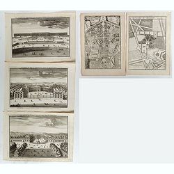
Le Château de Versailles et ses deux aisles, Veües du côté des jardins / Ecuries du Roy a Versailles, veües du côté Louvre / Le Palais de Clagny, près Versailles, Veüe du côté de Paris / La Menagrie de Versailles / Plan du Palais de Trianon / . . .
Six engraved views of different monuments and gardens of Versailles, from Nicolas de Fer's "L'Atlas curieux ou le Monde réprésente dans des cartes. ". The &qu...
Date: Paris, 1705
Selling price: ????
Please login to see price!
Sold in 2017
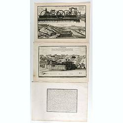
Coupe de la Machine de Marly / Veüe general de la Machine de Marly. (2 plates with text sheet)
Two engraved views of the Machine de Marly, also known as the Marly Machine, from Nicolas de Fer's "L'Atlas curieux ou le Monde réprésente dans des cartes. "....
Date: Paris, 1705
Selling price: ????
Please login to see price!
Sold in 2018
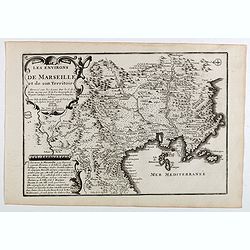
Les environs de Marseille et de son territoire . . .
Map centered on Marseille with nice detail of it surroundings, from Nicolas de Fer's "L'Atlas curieux ou le Monde réprésente dans des cartes. "The "Atlas...
Date: Paris, 1705
Selling price: ????
Please login to see price!
Sold
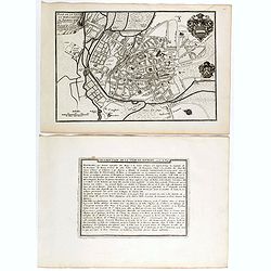
Plan de l'ancienne et nouvelle ville de Dijon.
Engraved plan of the town of Dijon, from Nicolas de Fer's "L'Atlas curieux ou le Monde réprésente dans des cartes. "The "Atlas Curieux" is a geograp...
Date: Paris, 1705
Selling price: ????
Please login to see price!
Sold
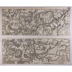
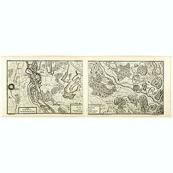
Les Environs de Namur, de Huy et de Charle-Roy and Les Environs de Dinant, de Philippeville et de Charlemont (2 Maps).
Two matching maps of southern Belgium by N. de Fer in 1705. Each features a decorative title cartouche. They centre on the Namur and Dinant regions of Belgium.Nicolas de ...
Date: Paris , 1705
Selling price: ????
Please login to see price!
Sold in 2018
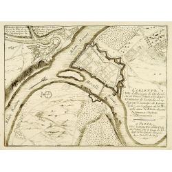
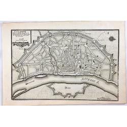
Cologne, Ville Considerable Situee.
A striking 1705 de Fer map of the walled city of Cologne, Germany. Oriented with north to the right, this map identifies the location of the city on the banks of the Rhin...
Date: Paris, 1705
Selling price: ????
Please login to see price!
Sold in 2020
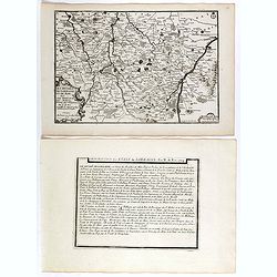
Les Duchez, de Lorraine, et de Bar . . .
Map of the Lorraine region, from Nicolas de Fer's "L'Atlas curieux ou le Monde réprésente dans des cartes. "The "Atlas Curieux" is a geographic ency...
Date: Paris, 1705
Selling price: ????
Please login to see price!
Sold in 2020
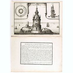
Tour de Cordouan.
View of Cordouan tower, which is nowadays a lighthouse, near the mouth of the Gironde estuary, from Nicolas de Fer's "L'Atlas curieux ou le Monde réprésente dans d...
Date: Paris, 1705
Selling price: ????
Please login to see price!
Sold in 2018
Plan de ville et des Fauxbourgs de Bourges . . .
Plan of Bourges town and its outskirts, from Nicolas de Fer's "L'Atlas curieux ou le Monde réprésente dans des cartes. "The "Atlas Curieux" is a geo...
Date: Paris, 1705
Selling price: ????
Please login to see price!
Sold
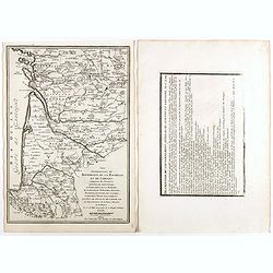
Les generalitez de Bordeaux, de La Rochelle, et de Limoges . . .
Map of the Gascony region, including Bordeaux, La Rochelle and Limoges, with several provinces such as Saintonge, Limousine ..., from Nicolas de Fer's "L'Atlas curie...
Date: Paris, 1705
Selling price: ????
Please login to see price!
Sold in 2021
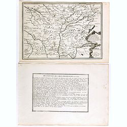
Les deux Bourgognes Duché et Comté . . .
Map of the Bourgogne region, from Nicolas de Fer's "L'Atlas curieux ou le Monde réprésente dans des cartes. "The "Atlas Curieux" is a geographic enc...
Date: Paris, 1705
Selling price: ????
Please login to see price!
Sold in 2019
Haute et Basse Alsace, suntgout, Brisgou, et Ortenou.
Map of the Alsace region, from Nicolas de Fer's "L'Atlas curieux ou le Monde réprésente dans des cartes. "The "Atlas Curieux" is a geographic encycl...
Date: Paris, 1705
Selling price: ????
Please login to see price!
Sold in 2022
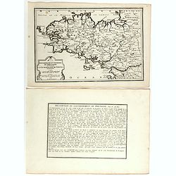
Gouvernement general de Bretagne ou se trouve la Generalité de Nantes.
Map of Bretagne, from Nicolas de Fer's "L'Atlas curieux ou le Monde réprésente dans des cartes. "The "Atlas Curieux" is a geographic encyclopedia of...
Date: Paris, 1705
Selling price: ????
Please login to see price!
Sold in 2020
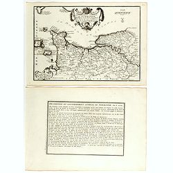
Gouvernement general de Normandie . . .
Map of Normandy region, from Nicolas de Fer's "L'Atlas curieux ou le Monde réprésente dans des cartes. "The "Atlas Curieux" is a geographic encyclop...
Date: Paris, 1705
Selling price: ????
Please login to see price!
Sold in 2018
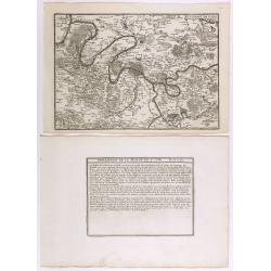
Environs de Paris.
Map centered on Paris, with its surroundings, from Nicolas de Fer's "L'Atlas curieux ou le Monde réprésente dans des cartes. "The "Atlas Curieux" is...
Date: Paris, 1705
Selling price: ????
Please login to see price!
Sold in 2020
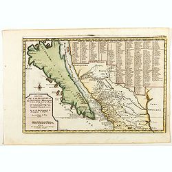
Cette Carte de Californie et du Nouveau Mexique.
A most important map, identifying by numerical code some 314 places in New Mexico, and showing in detail California as an island, although based on Sanson's monumental ma...
Date: Paris, 1705
Selling price: ????
Please login to see price!
Sold in 2019
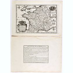
La France ses conquêtes, ses acquisitions et ses bornes . . .
General map of France, from Nicolas de Fer's "L'Atlas curieux ou le Monde réprésente dans des cartes. "The "Atlas Curieux" is a geographic encyclope...
Date: Paris, 1705
Selling price: ????
Please login to see price!
Sold in 2020
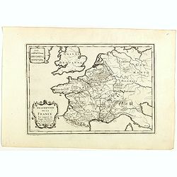
Description de la France par rapport au regne de Clovis et de ses enfants.
Map of France and part of Europe, with great Britain, from Nicolas de Fer's "L'Atlas curieux ou le Monde réprésente dans des cartes. "The "Atlas Curieux&...
Date: Paris, 1705
Selling price: ????
Please login to see price!
Sold in 2022
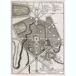
Plan general de Marly.
Plan of the city of Marly, from Nicolas de Fer's "L'Atlas curieux ou le Monde réprésente dans des cartes. "The "Atlas Curieux" is a geographic encyc...
Date: Paris, 1705
Selling price: ????
Please login to see price!
Sold
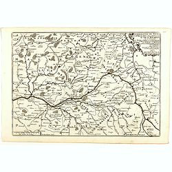
Generalitez de Tours, et d'Orleans et Grande Partie de celle de Bourges . . .
Map of Tours and Orleans regions, from Nicolas de Fer's "L'Atlas curieux ou le Monde réprésente dans des cartes. "The "Atlas Curieux" is a geographi...
Date: Paris, 1705
Selling price: ????
Please login to see price!
Sold in 2020
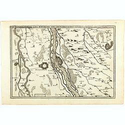
Les environs des deux Birsachs.
Map of old and new Brisachs, with Colmar and Fribourg from Nicolas de Fer's "L'Atlas curieux ou le Monde réprésente dans des cartes. "The "Atlas Curieux&...
Date: Paris, 1705
Selling price: ????
Please login to see price!
Sold in 2018
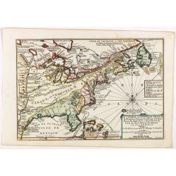
Le Canada, ou Nouvelle France la Florida, la Virginie, Pensilvanie . . .
Fine map is showing the east coast of the United States from the Caribbean up to Newfoundland, with the western border just beyond the Mississippi.The course of the Missi...
Date: Paris, 1705
Selling price: ????
Please login to see price!
Sold in 2019
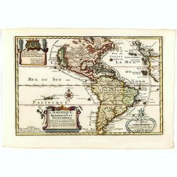
L'Amerique, Meridionale et Septentrionale.
Fine map of the Western hemisphere showing California with indented northern coast: Agubela de Cato to north. Includes partial outline of New Zealand. Interesting Great L...
Date: Paris, 1705
Selling price: ????
Please login to see price!
Sold in 2021
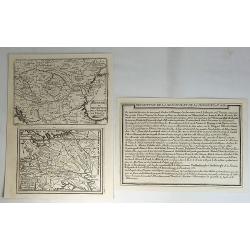
Hongrie ou Partie Septent de la Turquie. Estats du Grand Duc de Moscovie.
Two small maps by Nicolas de Fer, published in Paris in 1705. From his atlas ATLAS CURIEUX. Interestingly, it comes with description text.Nicolas de Fer (1646-1720) was ...
Date: Paris, 1705
Selling price: ????
Please login to see price!
Sold in 2018
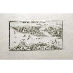
Veue de Constantinople.
A small and charming view of Istanbul and the Bosphorus. With numerous buildings and several sailing ships.
Date: Paris, 1705
Selling price: ????
Please login to see price!
Sold in 2018
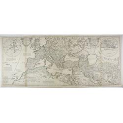
Theatrum Historicum (and) An Historical Map of the Roman Empire. . .
A large map of Europe, the Mediterranean, North Africa and parts of the Middle East with inset double hemisphere world map, dated 1705. Map is finely engraved with a prof...
Date: Paris, 1705
Selling price: ????
Please login to see price!
Sold in 2020
Les environs des deux Brisachs et de Fribourg.
A two sheet map of Brisachs and Fribourg, from Nicolas de Fer's "L'Atlas curieux ou le Monde réprésente dans des cartes. "The "Atlas Curieux" is a g...
Date: Paris, 1705
Selling price: ????
Please login to see price!
Sold in 2018
Sixieme plan de la ville de Paris, et ses accroissements depuis le régne de Charles VII. l'an 1422. jusqu'a la fin du régne de Henry III, l'an 1589 [...] par M.L.C.D.L.M.
Sixth map of the city of Paris, and its additions, from the beginning of the reign of Charles VII in the year 1422 to the end of the reign of Henry III in the year 1589&q...
Date: Paris, 1705
Selling price: ????
Please login to see price!
Sold in 2020
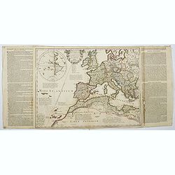
Theatrum Historicum. . . Romani tu Barbarorum. . . Pars Occidentalis. . .
Showing the Roman Empire by G. de l'Isle, French cartographer, and pupil of Cassini, called Father of Modern Geography. In the upper left-hand corner western hemisphere.C...
Date: Paris, 1705
Selling price: ????
Please login to see price!
Sold in 2022
Carte des Indes et de la Chine . . .
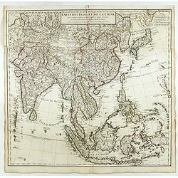
Scarce state of "Carte des Indes et de la Chine. A Paris Chez l’Auteur, Rue des Canettes prez de St. Sulpice. Avec Privilège pour 20 ans, 1705. This early state w...
Date: Paris, 1705
Selling price: ????
Please login to see price!
Sold in 2018
Sixieme plan de la ville de Paris, et ses accroissements depuis le régne de Charles VII. l'an 1422. jusqu'a la fin du régne de Henry III, l'an 1589 [...] par M.L.C.D.L.M.
Sixth map of the city of Paris, and its additions, from the beginning of the reign of Charles VII in the year 1422 to the end of the reign of Henry III in the year 1589&q...
Date: Paris, 1705
Selling price: ????
Please login to see price!
Sold
Marseille ville considerable de Provence fameux port sur la mer de Mediterranée par N. De Fer.
Map centered on Marseille with nice detail of it surroundings, from Nicolas de Fer's "L'Atlas curieux ou le Monde réprésente dans des cartes. "The "Atlas...
Date: Paris, 1705
Selling price: ????
Please login to see price!
Sold in 2019
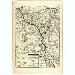
Le cours de la Sare aux environs de la quellese trouve diverses provinces qui composent la province de la Sare ou Lorraine Allemande.
Map of the Lorraine region with a part of west Germany, from Nicolas de Fer's "L'Atlas curieux ou le Monde réprésente dans des cartes. "The "Atlas Curieu...
Date: Paris, 1705
Selling price: ????
Please login to see price!
Sold in 2020
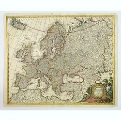
Europa Pars tenet Haec Mundi. . .
A nice, attractive map of the continent of Europe by G & L Valk of Amsterdam. The differing regions are colored in outline. Good map detail shown, and set off by a wo...
Date: Amsterdam, ca 1705
Selling price: ????
Please login to see price!
Sold in 2023
Les Isles De L'Amerique Connues Sous le Nom D'Antilles, ou Sont les Isles de Cuba, St. Domingue et Jamaique les Lucayes, les Caribes . . .
Decorative and detailed map of the Florida Keys, Caribbean and coasts of Central and South America from an early edition of De Fer's "Atlas Curieux". De Fer's m...
Date: Paris, 1705
Selling price: ????
Please login to see price!
Sold in 2019
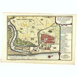
Plan de Pondichery la côte of Coromandel occupé par la Compagnie Royale des Indes cartographic Orientales..
Detailed plan of the town of Pondicherry, founded in 1674 as the capital of French India. A masterpiece of European Enlightenment Era urban planning, it was predicated on...
Date: Paris, 1705
Selling price: ????
Please login to see price!
Sold in 2020
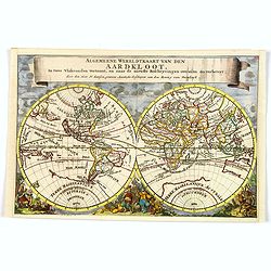
Algemeene Wereldkaart van den Aardkloot. In twee Vlakronden vertoont, en naar de niewste Beschryvingen overzein en verbetert. . .
This delightful double hemisphere map is beautifully decorated with clouds at the top and excellent allegorical representations of the known continents at the bottom. Cal...
Date: Amsterdam, ca 1705
Selling price: ????
Please login to see price!
Sold in 2019
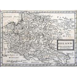
Poland. According to ye newest observations. . .
A small but detailed map of Poland, the Ukraine, Lithuania, Latvia, and parts of Russia. Extends from Vienna to Moscow, including Riga, Warsaw, Kaliningrad, Kiev, and man...
Date: London, ca 1705
Selling price: ????
Please login to see price!
Sold in 2019
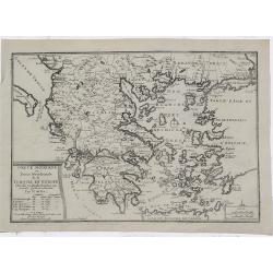
Grece Moderne ou Partie Meridionale de la Turquie en Europe.
A detailed map of the Southern Part of Greece and contiguous Islands. From De Fer's “Atlas Curieux”. Engraved by Van Loon. It comes with a page entitled “Descripti...
Date: Paris, 1705
Selling price: ????
Please login to see price!
Sold in 2021
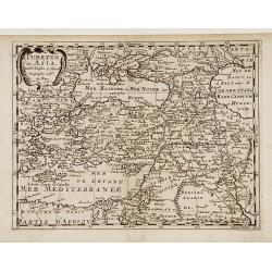
Turkyen in Asia.
Attractive general map of the Middle East, including Turkey, Cyprus, Palestine, etc.
Date: Amsterdam 1705
Selling price: ????
Please login to see price!
Sold
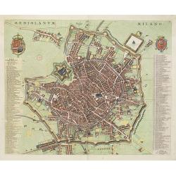
Mediolanum. Milano.
A beautifully engraved and richly decorated plan of Milan. With a key (1-256) in left and right referring to the principal places of interest in the town.Joan Blaeu publi...
Date: Amsterdam, 1704 / 1705
Selling price: ????
Please login to see price!
Sold in 2022
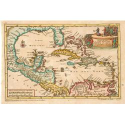
Iukatan en vaste kusten van Nieuw Spanje..
An attractive map showing the Caribbean.Although not renowned for the originality of his work, Pieter van der Aa is highly thought of for the design and quality of his ou...
Date: Leiden 1705
Selling price: ????
Please login to see price!
Sold
[Title page]
Beautiful title page by Ottens from the famous book about the butterflies of Suriname. Maria Sybilla Merian is shown with six putti observing various floral species and b...
Date: Amsterdam, 1705
Selling price: ????
Please login to see price!
Sold
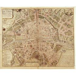
Huitième Plan DE PARIS Divisé en ses Vingts Quartiers.
Beautifull plan of Paris showing the new districts built under the reign of Louis XIV. Description and legends in the margins.
Date: Paris 1705
Selling price: ????
Please login to see price!
Sold
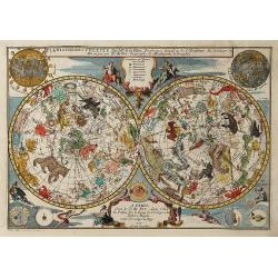
Planispheres Celeste . Par Mr. De la Hire..
Decorative double hemisphere celestial chart, centred on the north and south poles. The constellation figures are derived from the prototypes in Bayer's Uranometria and t...
Date: Paris 1705
Selling price: ????
Please login to see price!
Sold
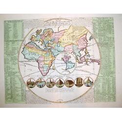
Plan de l\'Histoire universelle, oulon voit les quatre Monarchies du Monde, et tous les Ancien Etats aussi bien que ceux qui subsistent aujourdhuy.
A very interesting map with a unique composition and presentation depicting the entire world, but with emphasis on the OLD WORLD.The central map shows the Eastern Hemisph...
Date: Amsterdam, ca. 1705
Selling price: ????
Please login to see price!
Sold
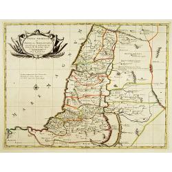
Terra promissa in sortes seu tribus XII?
The promised Land divided among the 12 Tribes according to the Book of Joshua. Shows Palestine on both sides of the Jordan, the shoreline running from Sidon as far as Rhi...
Date: Amsterdam 1705
Selling price: ????
Please login to see price!
Sold
Lot of 2 maps.
2 city plans : Coblentz, ville d'Allemagne.. / Brisach ville forte sur le Rheim?
Date: Paris c.1705
Selling price: ????
Please login to see price!
Sold
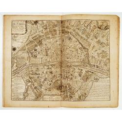
Atlas curieux Paris.
A fine series of 10 double page plans of Paris (c.450x530mm) showing the town's development during several ages. Prepared by Jean-Baptiste Bourguignon d' Anville,(1697-17...
Date: Paris 1705
Selling price: ????
Please login to see price!
Sold
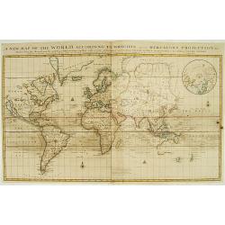
A new map of the world according to the New Observations..
A world map in Mercator projection, showing California as an island. In right hand corner smaller inset of the North Pole.From Harris, A complete collection of Voyages an...
Date: London 1705
Selling price: ????
Please login to see price!
Sold
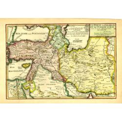
La Perse La Georgie, et la Turquie d'Asie..
Uncommon map of Turkey, Persia, Palestine and the northern tip of Arabia.
Date: Paris, 1705
Selling price: ????
Please login to see price!
Sold in 2009
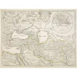
Theatrum Historicum.. Tu Imperii Romani.. Pars Orientalis..
Showing the Eastern part of the Roman Empire, extending from Greece and Cyprus to India and centered on Armenia and the Black and Caspian Seas. Prepared by G. de l'Isle, ...
Date: Paris, 1705
Selling price: ????
Please login to see price!
Sold in 2009
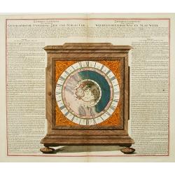
Geographische Universal-Zeig und Slag-Uhr.
An unrecorded, separately published sheet in order to explain the use and promote the newly invented clock showing the different times around the world.The world centered...
Date: Nuremberg, 1705
Selling price: ????
Please login to see price!
Sold in 2013
Les environs de NAMUR, de Huy et de Charle-roy..
Detailed map of the region of Namen, by Nicolas De Fer, who was a royal French geographer.
Date: Paris 1705
Selling price: ????
Please login to see price!
Sold
Les environs de DINANT, de Philippeville et de Charlemont..
Detailed map of the region of Dinant, by Nicolas De Fer, who was a royal French geographer.
Date: Paris 1705
Selling price: ????
Please login to see price!
Sold
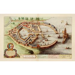
Utriusque Portus Ostiae Delineatio.
A most attractive and fascinating bird's eye plan of this small port near the mouth of the Tiber. Dedicated to Cornelis Witsen, senator of Amsterdam and traveller. Joan B...
Date: Amsterdam, 1705
Selling price: ????
Please login to see price!
Sold in 2013
![[Title page] L'Atlas curieux ou le Monde réprésente dans des cartes. . .](/uploads/cache/40738-250x250.jpg)
![Sixieme plan de la ville de Paris, et ses accroissements depuis le régne de Charles VII. l'an 1422. jusqu'a la fin du régne de Henry III, l'an 1589 [...] par M.L.C.D.L.M.](/uploads/cache/41838-250x250.jpg)
![Sixieme plan de la ville de Paris, et ses accroissements depuis le régne de Charles VII. l'an 1422. jusqu'a la fin du régne de Henry III, l'an 1589 [...] par M.L.C.D.L.M.](/uploads/cache/42344-250x250.jpg)
![[Title page]](/uploads/cache/15729-250x250.jpg)
