Browse Listings
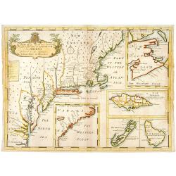
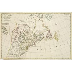
A new map of.. Plantations of the English in America..
"A boldly engraved large-scale map of the Carolinas, Nova Scotia, Bermuda, Barbados and Jamaica appear as large insets on this interesting uncommon and attractive ma...
Date: London 1700
Selling price: ????
Please login to see price!
Sold
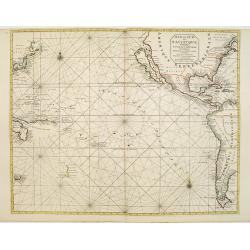
Mer de Sud ou Pacifique contenant l'Isle de Californe. . .
Intriguing map of the Pacific copied from important manuscript maps collected by the Portuguese crown and secreted away in Portuguese archives. Showing California with in...
Date: Amsterdam, 1700
Selling price: ????
Please login to see price!
Sold in 2016
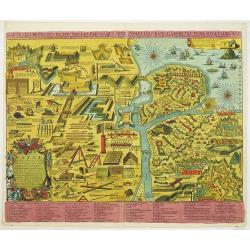
Tafel in welke vertoont werden alle werk-tuigen behorende tot de krygs-kunde, Vestingbouw en Artillery e. als mede. . .
An attractive instructional plate showing a collage of various systems of fortifications, both inland and coastal, and the weapons and techniques used to attack and defen...
Date: Amsterdam, 1700
Selling price: ????
Please login to see price!
Sold in 2013
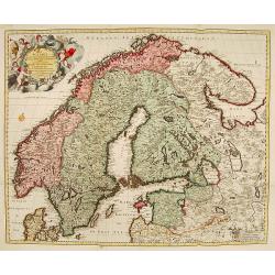
La Scandie.. Suede, Danemarc & Norvegue.
Fine map including Sweden, Norway, Denmark and Finland. Decorative title cartouche with dedication to Charles XII. Prepared by Nicolaas Visscher, a uncommon re-issue by P...
Date: Amsterdam 1700
Selling price: ????
Please login to see price!
Sold
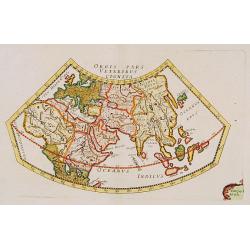
Orbis Pars Veteribus Cognita.
A very nice map showing ancient world.
Date: Paris, ca. 1700
Selling price: ????
Please login to see price!
Sold
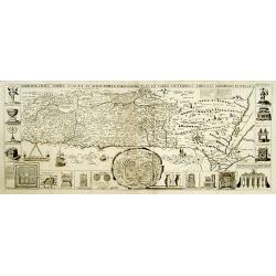
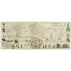
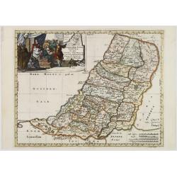
Chorographia Terrae Sanctae in Angustiorem..
Rare. Large visually rich map decorated with illustrations of the sacred objects and places of Judaism. In the bottom center is a plan of ancient Jerusalem, and the route...
Date: Amsterdam ca. 1700
Selling price: ????
Please login to see price!
Sold
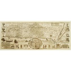
Chorographia Terrae Sanctae in Angustiorem..
Rare. Large visually rich map decorated with illustrations of the sacred objects and places of Judaism. In the bottom center is a plan of ancient Jerusalem, and the route...
Date: Amsterdam ca. 1700
Selling price: ????
Please login to see price!
Sold
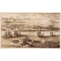
T'Eylandt Formosa.
Scarce panoramic view of "Fort Zeelandia" on the island of Formosa.
Date: Amsterdam 1700
Selling price: ????
Please login to see price!
Sold
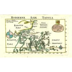
Hodiernae Asiae Tabula.
A boldly engraved map of the East Indies with large compass card and cartouche with a dedication to John Trelawney. The area north of Korea till Nova Zembla left blank an...
Date: London 1700
Selling price: ????
Please login to see price!
Sold
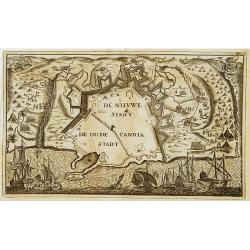
De Nieuwe Stadt / De Oude Stadt Candia.
Rare plan of the town of Candia. With extensive shipping on foreground and Turkish troops sieging the town.The Siege of Candia (Heraklion, Crete) (1648-1669) was possibly...
Date: Netherlands c.1700
Selling price: ????
Please login to see price!
Sold
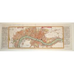
LONDEN WESTMUNSTER U SOUDWARK
A very finely engraved view of London as seen at the start of the 18th century. The work's title is presented in two ribbons at the top portion of the engraving. Two comp...
Date: Germany, c. 1700
Selling price: ????
Please login to see price!
Sold
Chorographia Terrae Sanctae in Augustiorem..
Rare. Large visually rich map decorated with illustrations of the sacred objects and places of Judaism. In the bottom center is a plan of ancient Jerusalem, and the route...
Date: Amsterdam, ca.1700
Selling price: ????
Please login to see price!
Sold
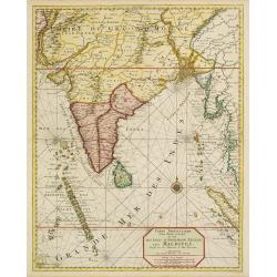
Carte particuliere d'une Partie d'Asie.. Ceylon, Maldives..
Intriguing map of India, Ceylon, Maldives and East Coast of Sumatra, and Malaysia. From Suite du Neptune François, ou Atlas Nouveau des Cartes Marines.From the rare and ...
Date: Amsterdam 1700
Selling price: ????
Please login to see price!
Sold
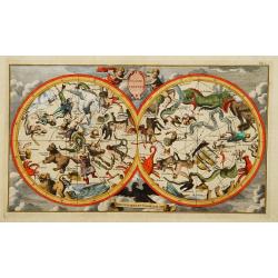
Globe celeste Coeli en arrant Gloriam dei.
Double hemispherial celestial showing signs of the zodiac.
Date: Paris 1700
Selling price: ????
Please login to see price!
Sold
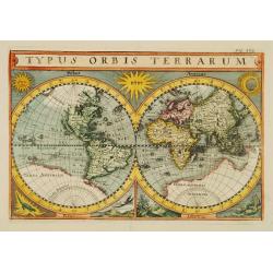
Typus Orbis Terrarum.
Uncommon double hemisphere world map, showing California as an island. In corners sun, moon and representations of four elements. With a large southern continent, but Aus...
Date: Germany c.1700
Selling price: ????
Please login to see price!
Sold
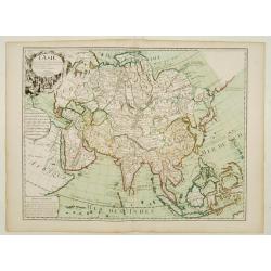
L'Asie..
Prepared by G. de L'Isle of c. 1700 and published by Louis Renard of Amsterdam.Rare Amsterdam issue.The blank areas between the 'peninsula' of Nouvelle Zemla and the east...
Date: Amsterdam, 1700
Selling price: ????
Please login to see price!
Sold
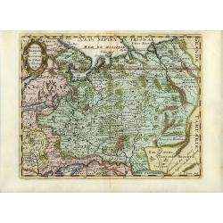
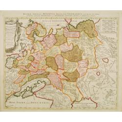
La Russie Blanche ou Muscovie
European Russia, including Ukraine.
Date: Amsterdam 1700
Selling price: ????
Please login to see price!
Sold
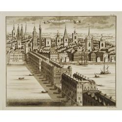
Die Brücke zu London.
Decorative view of London bridge.
Date: Nuremberg 1700
Selling price: ????
Please login to see price!
Sold
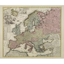
Europae in Tabula Geographica Delineatio. . .
Uncommon map of Europe with fine title cartouche and key to longitude and latitude of the most import cities.
Date: Amsterdam, 1700
Selling price: ????
Please login to see price!
Sold in 2013
Carte Nouvelle de L'Amerique Angloise Contenant La Virginie, Mary-Land, Caroline, Pensylvania, Nouvelle Jorck, N. Jarsey, N. France..
A unique map of eastern North America with oversized Great Lakes. Pennsylvania includes both Delaware and eastern Maryland and almost bisects New York. Virginia includes ...
Date: Amsterdam c. 1700
Selling price: ????
Please login to see price!
Sold
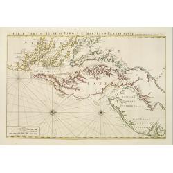
Carte Particuliere de Virginie, Maryland, Pennsilvanie, La Nouvelle Jarsey. Orient et Occidentale.
Large scale, decorative map centered on Maryland and the Chesapeake Bay. Shown is an area from Staten Island in New York southward to Carratuck Inlet in North Carolina wi...
Date: Amsterdam c. 1700
Selling price: ????
Please login to see price!
Sold
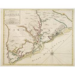
Carte Particuliere de la Caroline Dresse Sur les Memoires le plus Nouveaux.
Large, decorative map of today South Carolina centered on Charleston. The area represented extends from the South Edisto River northward to the Santee River. Illustrated ...
Date: Amsterdam 1700
Selling price: ????
Please login to see price!
Sold
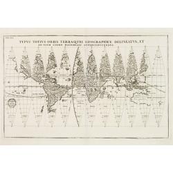
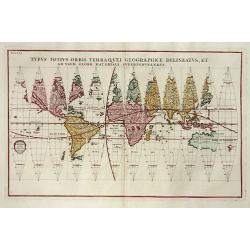
Typus Totius Orbis Terraquei Geographice..
Finely engraved set of 12 globe gores. Fascinating Northwest Passage treatment. Excellent detail in Australia and a nice bit of New Zealand shown, along with a curious ov...
Date: Munich 1700
Selling price: ????
Please login to see price!
Sold
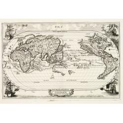
Navigationes Praecipuae Europaeorum ad Exteras Nationes.
Splendid map of the world on an oval projection showing California as an Island and partially mapped Australia and New Zealand.This map is from the series produced by Sch...
Date: Munich 1700
Selling price: ????
Please login to see price!
Sold
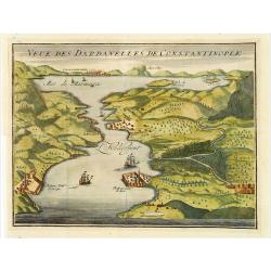
Veue des Dardanelles de Constantinople.
Attractive birds eye view of Hellespont, fortifications and the city of Istanbul in the background.
Date: Paris c.1700
Selling price: ????
Please login to see price!
Sold
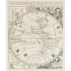
Title in Greek (Sub-title: Index Geographicus tum vete..)
This sheet covers the western hemisphere, with California as an island, and has Greek lettering throughout. As stated in the long Greek title and Latin sub-title it is th...
Date: Padua, 1700
Selling price: ????
Please login to see price!
Sold in 2010
Geographiae Sacrae Tabula, in qua Terra Promissa..
Attractive map after N.Sanson\'s folio map of 1662 with decorative cartouche showing the map of Canaan presented to Joshua by his spies. Engraved by A.Winter.First added ...
Date: Halma, Amsterdam, after 1700
Selling price: ????
Please login to see price!
Sold in 2009
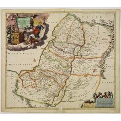
Iudea sive Terra Sancta quae Israelitarum..
Rare issue of T. Danckerts attractive map of part of Israel.Decorative title cartouche upper left hand corner.
Date: Amsterdam 1700
Selling price: ????
Please login to see price!
Sold
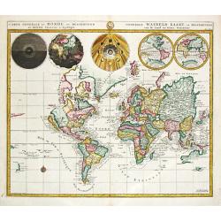
Carte Generale Du Monde.
Pieter Mortier (1661-1711), Amsterdam bookseller and printer of French descent published a.o.the atlas and the sea-atlas of Sanson-Jaillot and of de l\' Isle. The firm co...
Date: Amsterdam, 1700
Selling price: ????
Please login to see price!
Sold in 2009
De Zwarte Zee, eertyts Pontus Euxinus.
Nicolas Sanson (1600-67), ' father of the French cartography' and founder of the Sanson firm. Atlas ' Cartes générales de toutes les parties du Monde', 1658-70 and a po...
Date: Amsterdam, 1700
Selling price: ????
Please login to see price!
Sold
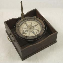
Important early azimuth compass.
The gimballed and weighted brass compass bowl has a removable glazed cover, mounted with folding brass sight vanes, four unusually turned brass capstan posts to support d...
Date: Dutch, c 1700
Selling price: ????
Please login to see price!
Sold
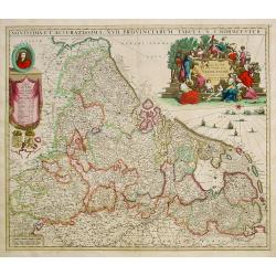
Novissima et accuratissima XVII Provinciarum tabula A. J.Bormeester.
Rare issue of Justus Danckert's attractive map of the Low Countries.Decorative title cartouche upper right hand corner.
Date: Amsterdam 1700
Selling price: ????
Please login to see price!
Sold
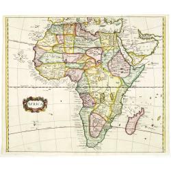
AFRICA
Nice map of Africa giving a wealth of information. Some names are translated in to English.
Date: London, c. 1700
Selling price: ????
Please login to see price!
Sold in 2011
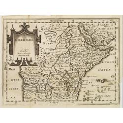
L'Abissinie.
Uncommon and delightful map of Equatorial Africa, extending from the Atlantic shores as far as the Horn of Africa.It is focused on the White Nile stream which bears the n...
Date: Amsterdam 1700
Selling price: ????
Please login to see price!
Sold
Peru ou Perou.
Charming map of Peru. Including some of the territory of today Equador on the north and extending southwards as far as the Atacama desert in Chile. Decorated with a large...
Date: Amsterdam 1700
Selling price: ????
Please login to see price!
Sold
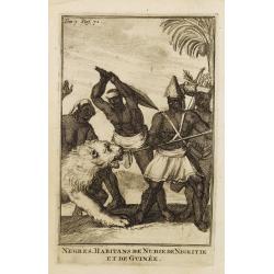
Negres. Habitans de Nubie de Nigritie et de Guinée.
Decorative engraving representing people of Central Africa.
Date: Amsterdam, 1700
Selling price: ????
Please login to see price!
Sold in 2008
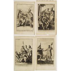
Four engravings by M. Duplessis.
4 decorative engravings representing native American people.Mexiquains. Habitans des Antiles.Habitans de Virginie et de Floride.Habitans du Perou.Patagons. Habitans du Ch...
Date: Amsterdam 1700
Selling price: ????
Please login to see price!
Sold
[Title page] Table Des Cartes etc: Du Sr. Sanson..
Large, powerfully engraved title page. Geographic scholars at work in a library are depicted along the bottom.More about title page [+]
Date: Amsterdam, 1700
Selling price: ????
Please login to see price!
Sold in 2021
[No title] [wall map of Southern India, Ceylon and part of Malaysia]
An attractive large wall map of Southern India, Ceylon and part of Malaysia. Originally in 2 sheets, this is the bottom sheet.With 3 inset plans showing the surroundings ...
Date: Paris, c. 1700
Selling price: ????
Please login to see price!
Sold
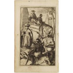
Title page: Geographie Universelle Tom. III.
Decorative title page illustrating exotic people, animals, trees and monuments from various parts of the world.
Date: Amsterdam 1700
Selling price: ????
Please login to see price!
Sold
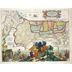
Perigrinatie ofte Veertich-jarige Reyse der Kinderen Israels.
Dutch so-called ' Staten' bibles, published between 1637 and c. 1760, contained 5 maps: The World, ' Paradise', The Perigrinations, The Promised Land Canaan, The Travels ...
Date: Amsterdam / Dordrecht, Pieter Keur, Pieter Rotterdam 1700
Selling price: ????
Please login to see price!
Sold in 2008
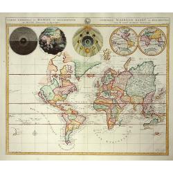
Carte Generale du Monde..
Pierre Mortier's unique world map drawn on Mercator's projection with California as an Island and the Detroit d'Anian connected by dotted lines through the Northwest Pass...
Date: Amsterdam 1700
Selling price: ????
Please login to see price!
Sold
Typus Totius Orbis Terraquei Geographice
Finely engraved set of globe gores. This is one of eleven world maps, which appeared in the Novus Atlas that was published between 1702 and 1710. CALIFORNIA IS AN ISLAND,...
Date: Munich c.1700
Selling price: ????
Please login to see price!
Sold
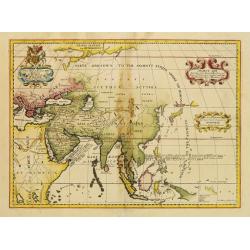
Ancient Asia.
Map of ancient Asia engraved by Michael Burghers of Oxford University. Dedicated to the Duke of Gloucester.With several interesting legends, a legend in the vicinity of t...
Date: Oxford, 1700
Selling price: ????
Please login to see price!
Sold in 2014
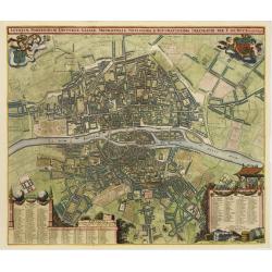
Lutetiae Parisiorum Universae Galliae Metropolis Novissima & Accuratissima Delineatio per F. de Wit cum Privilegio.
Bird-eye view of Paris, with key to the different locations. De Wit used the copper plate of Joannes de Ram from 1690. The plan was made after Jouvin de Rochefort and sho...
Date: Amsterdam, c. 1700
Selling price: ????
Please login to see price!
Sold
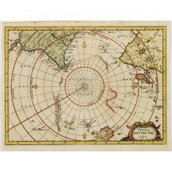
Terres ANTARCTIQUES.
Delightful map of the South Pole, including southern tips of Africa and America as well as drafts of Australia, New Zealand and some Islands of Polynesia.
Date: Amsterdam 1700
Selling price: ????
Please login to see price!
Sold
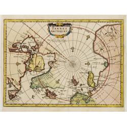
Terres ARCTIQUES.
Delightful map of the North Pole, including Greenland, Scandinavia, Canada and Russia.
Date: Amsterdam 1700
Selling price: ????
Please login to see price!
Sold
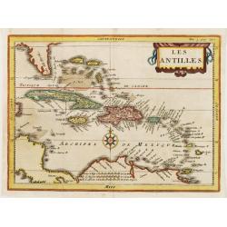
Les ANTILLES.
Attractive map of the Greater and Lesser Antilles.
Date: Amsterdam 1700
Selling price: ????
Please login to see price!
Sold
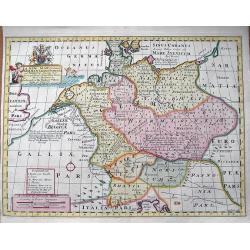
A New Map of Antient Germany, Rhaetia, Vindelicia, and Noricum...
Interesting map of central Europe during ancient times. Extending from Denmark to northern Italy. Includes Germany, the Netherlands, Poland, Austria,... From "A N...
Date: Oxford, c1700
Selling price: ????
Please login to see price!
Sold in 2013
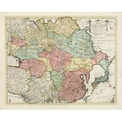
Magnae Tartariae Magni Mogolis Imperii Japoniae et Chinae..
The map stretches from the Caspian Sea in the West to Formosa and Japan in the East. Korea rightly correctly depicted as a peninsula. With an over-sized Taiwan. It has be...
Date: London, 1700
Selling price: ????
Please login to see price!
Sold in 2009
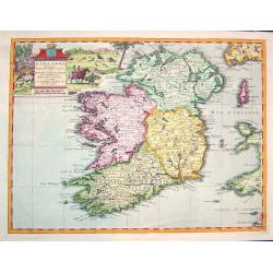
L''irelande suivant les nouvelles observations
A beautifully rendered and sought after map of Ireland. The cartouche depicts a pastoral scene with horsemen, hunters and various domesticated and wild animals. A very de...
Date: Leiden, ca. 1700
Selling price: ????
Please login to see price!
Sold in 2008
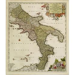
Regnum Neapolis..
Uncommon re-issue of this fine map of the southern part of Italy. In top putti holding the 12 coats of arms. Lower right scale and putti holding coat of arms of the town ...
Date: Amsterdam, 1700
Selling price: ????
Please login to see price!
Sold in 2008
[2 charts] Accuratissima Occidentalioris Districtus Maris Mediterranei.. / Accuratissima Orientalis Districtus Maris Mediterranei..
Rare issue of Justus Danckert's attractive 2-sheet map of Mediterranean sea. Decorative title cartouche lower left hand corner.
Date: Amsterdam, 1700
Selling price: ????
Please login to see price!
Sold
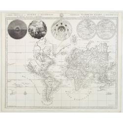
Carte générale du monde, ou description du monde Terrestre & Aquatique.
Beautiful world map from a Dutch Bible. The map is drawn on Mercator's projection with CALIFORNIA AS AN ISLAND and the Detroit d'Anian connected by dotted lines through t...
Date: Amsterdam, 1700
Selling price: ????
Please login to see price!
Sold
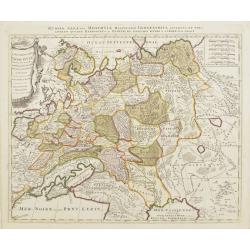
La Russie Blanche ou Muscovie
Uncommon map of European Russia, including Ukraine.
Date: Amsterdam, 1700
Selling price: ????
Please login to see price!
Sold
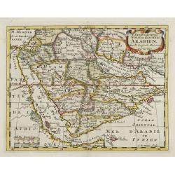
't Steenachtige, Woest, en Gelukkig Arabien.
An attractive map of the Arabian Peninsula from a Dutch text edition. Engraved by A.de Winter.
Date: Amsterdam, 1700
Selling price: ????
Please login to see price!
Sold
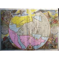
ORBIS PER CREATIONEM INSTITUTUS; ORBIS PER DILUVIUM DESTITIUTUS
Attractive and rare map centered on the Garden Eden. Shows the Near East with Holy Land Israel, Syria, Jordania, Palestine, Arabia, Yemen, the Emirates, Egypt, Turkey, C...
Date: Amsterdam, c 1700
Selling price: ????
Please login to see price!
Sold in 2008
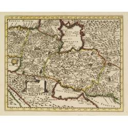
Persia sive Sophorum regnum cum Armenia Assyria Mesopotamia et Babylonia.
Uncommon map of the Near East, including Cyprus, Holy Land, Armenia, etc.
Date: Amsterdam, 1700
Selling price: ????
Please login to see price!
Sold in 2008
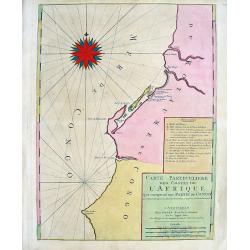
Carte Particuliere des costes de l'Afrique qui comprend une partie de Congo
Beautiful chart from Mortier's edition of Le Neptune François. Covers the region near the Congo River including Loanda, Ponta dos Palmeirinha, and Cabo Ledo. A text cart...
Date: Amsterdam, c1700
Selling price: ????
Please login to see price!
Sold in 2008
[ Lago di Sabaudia / Baia d'Argento ] Manuscript map on paper.
A large and decorative manuscript map on paper, oriented west to the top. In the center "Lago di Santa Maria", which is presently called "Baia D'Argento&qu...
Date: Italy, c.1700
Selling price: ????
Please login to see price!
Sold in 2011
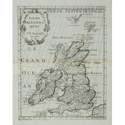
Isles Britanniques.
A map of the British Isles from Description de tous l'Univers published by François Halma.
Date: Amsterdam, 1700
Selling price: ????
Please login to see price!
Sold in 2011
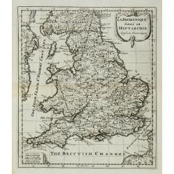
La Britannique dans sa Heptarchie ...
A map of the England from Description de tous l'Univers published by François Halma.
Date: Amsterdam, 1700
Selling price: ????
Please login to see price!
Sold in 2011
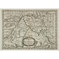
Sorie, et Diarbeck.
An attractive miniature prepared by N.Sanson. Covering the Syrian desert, Lebanon, and the mouth of the Tigris in the Persian Gulf. Including Babylon, Tripoli, Palestine,...
Date: Paris, c.1700
Selling price: ????
Please login to see price!
Sold in 2011
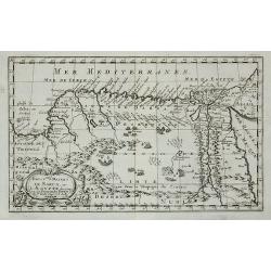
Royaume et desert de Barca, et Aegypte ...
An attractive miniature map of Egypt prepared by N.Sanson. Engraved by A.de Winter.
Date: Paris, c.1700
Selling price: ????
Please login to see price!
Sold in 2011
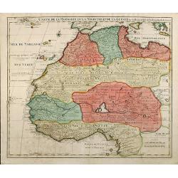
Carte De La Barbarie Le La Nigritie Et De La Guinee
Detailed hand colored copper engraving showing North West Africa from Mediterranean Sea to Gulf of Guinea including Canary Island.
Date: 1700
Selling price: ????
Please login to see price!
Sold in 2009
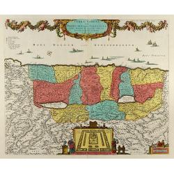
Terra Sancta, sive Promissionis, olim Palestina Recens Delineata, et in Lucem Edita per Nicolaum Visscher Anno 1659
Beautiful hand color copper engraved map of Palestine by N. Visscher issued by P. Schenk in Amsterdam. Oriented to the West. With beautiful cartouches, several ships, a p...
Date: Amsterdam, 1700
Selling price: ????
Please login to see price!
Sold in 2008
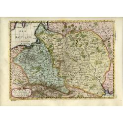
Etats de la Couronne de Pologne.
Detailed map covering the region of present-day Poland, Lithuania, Belarus and Ukraine. Engraved by Anthony d'Winter.
Date: Amsterdam, 1700
Selling price: ????
Please login to see price!
Sold in 2008
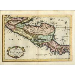
Audience de Guatimala
Nice map that illustrates the region from the Yucatan to the Gulf of Panama. It is nicely detailed, although much of the topography is still incorrect. Lago de Nicaragua ...
Date: Amsterdam, 1700
Selling price: ????
Please login to see price!
Sold in 2008
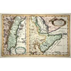
Le Zanguebar Tiree de Sanut &c. / Partie du Zanguebar ou Sont les Costes d'Ajan et d'Abix &c.
This attractive map, in two parts, covers the east coast of Africa from Mozambique to the Red Sea showing the prosperous trading ports. Each map has a decorative title ca...
Date: Amsterdam, 1700
Selling price: ????
Please login to see price!
Sold in 2008
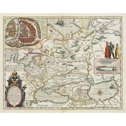
Russie Blanche ou Moscovie
Attractive copper engraved map of European Russia showing its political divisions, major topographical features, cities and towns. It is embellished with a strapwork titl...
Date: Amsterdam, 1700
Selling price: ????
Please login to see price!
Sold in 2008
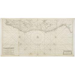
Nieuwe en Naauwkeurige Paskaart van de Guineese, Goud, Tand en Slave Kust ? - Nouvelle carte des Cotes de Guinée, d\'Or, de Dent et des Esclaves. . .
Uncommon sea chart of Africa\'s Gold coast (Cap Verde) to Cape of Good Hope.
Date: Amsterdam, 1700
Selling price: ????
Please login to see price!
Sold in 2008
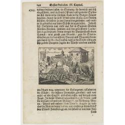
Barcellona.
A page of printed text in German with an engraving of an attack on the city of Barcelona.
Date: Germany, ca.1700
Selling price: ????
Please login to see price!
Sold in 2009
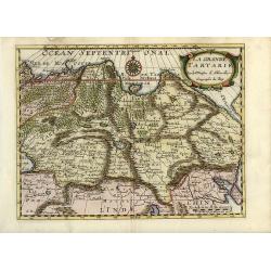
La Grande Tartarie
Attractive map of Siberia, northern China, and Korea, which is shown here as an island. The cities, mountains, forests and rivers are well-detailed. Siberia still reflect...
Date: Amsterdam, 1700
Selling price: ????
Please login to see price!
Sold in 2008
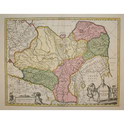
Tartaria sive Magni Chami Imperium
Being one of the most remote regions of Asia, it was among the last to be properly explored and mapped. This map combines the knowledge obtained by the English and Dutch ...
Date: Amsterdam, 1700
Selling price: ????
Please login to see price!
Sold in 2009
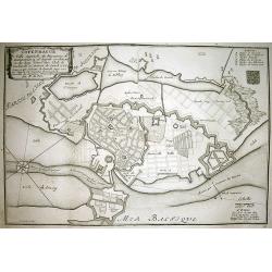
COPENHAGUE Ville Capitale du Royaume de Dannemarq...
Very detailed plan of Copenhagen with a letter key (A-F) identifying important buildings. Shows the city and surrounding area with great detail such as the fortifications...
Date: Paris, 1700
Selling price: ????
Please login to see price!
Sold in 2010
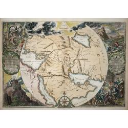
Orbis Per Creationem Institutus.
This is a very unusual map depicting the region from Asia Minor to India and including all of the Arabian Peninsula within a circle. The Garden of Eden is prominently dis...
Date: Amsterdam, 1700
Selling price: ????
Please login to see price!
Sold in 2009
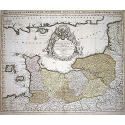
Le Duché et Gouvernement du Normandie diviseé...
Large scale map of Northern France, with excellent detail of La Manche. Latin title "Nova ducatus et praefecturae normanniae tabula, ad usum serenissimi burgundi...
Date: Amsterdam, ca1700
Selling price: ????
Please login to see price!
Sold in 2009
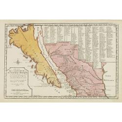
Cette Carte de Californie et du Nouveau Mexique ?
A most important map, identifying by numerical code some 314 places in New Mexico, and showing in detail California as an island, although based on Sanson's monumental ma...
Date: Paris, 1700
Selling price: ????
Please login to see price!
Sold in 2009
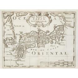
Les Isles du Iapon.
Date: Amsterdam, 1700
Selling price: ????
Please login to see price!
Sold in 2009
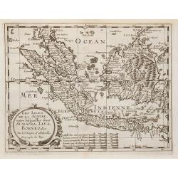
Les Isles de la Sonde entre lesquelles sont Sumatra, Java ?
The title is within a decorative cartouche flanked by swags of fruit. The islands of Sumatra, Java and Borneo in full, together with part of those adjacent and includes t...
Date: Amsterdam, 1700
Selling price: ????
Please login to see price!
Sold in 2010
![[Title page] Table Des Cartes etc: Du Sr. Sanson..](/uploads/cache/22714-250x250.jpg)
![[No title] [wall map of Southern India, Ceylon and part of Malaysia]](/uploads/cache/22782-250x250.jpg)
![[2 charts] Accuratissima Occidentalioris Districtus Maris Mediterranei.. / Accuratissima Orientalis Districtus Maris Mediterranei..](/uploads/cache/09561-250x250.jpg)
![[ Lago di Sabaudia / Baia d'Argento ] Manuscript map on paper.](/uploads/cache/30281-250x250.jpg)
