Browse Listings
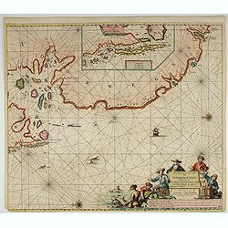
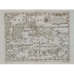
Les Isles Molucques, Celebes, Gilolo, &c. ?
Shows the islands east of Borneo, up to and including New Guinea. From a pocket-atlas published by F. Halma.
Date: Amsterdam, 1700
Selling price: ????
Please login to see price!
Sold in 2009
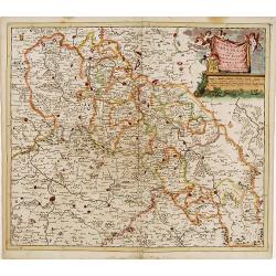
Accuratissima Ducatus Silesiae eique Regnum Bohemiae..
Rare issue of Theodorus Danckert's attractive map of part of Poland, centered on Breslau.Decorative title cartouche upper right hand corner.
Date: Amsterdam, 1700
Selling price: ????
Please login to see price!
Sold in 2013
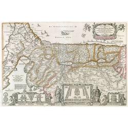
Perigrinatie ofte Veertich-Jarige Reyse der Kinderen Israels, ...
Bible map of the Holy Land.
Date: Amsterdam, ca.1700
Selling price: ????
Please login to see price!
Sold in 2010
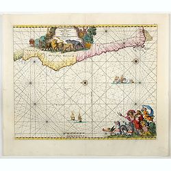
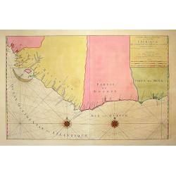
Carte Particuliere des costes de l'Afrique qui comprend une partie della Guinée et Partie de Mina...
Beautiful chart from Mortier's rare edition of 'Le Neptune François.' Covers the region from today's Sierra Leone until the Cape Coast area in Ghana. With numerous towns...
Date: Amsterdam, c1700
Selling price: ????
Please login to see price!
Sold in 2009
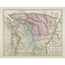
Nieuwe kaart van Suriname vertonende de stromen en land-streken van Suriname, Comowini, Cottica en Marawini, gelegen in Zuid America op de kusten van Caribana. . .
Decorative full color example of Ottens map of Suriname. Detailed map of the northeast part of Suriname between Paramaribo, with fort Zeelandia, and Mana. Along the Surin...
Date: Amsterdam, ca. 1700
Selling price: ????
Please login to see price!
Sold
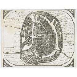
Moscua.
Very rare bird's-eye view of Moscow, intended to be used for a "carte à figures" wall-map, published by Frederick de Wit, to accompany the his wall map of Euro...
Date: Amsterdam, 1672-1700
Selling price: ????
Please login to see price!
Sold in 2009
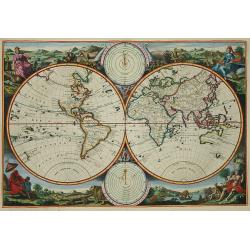
Korte Beschrijvinge van de Lantschappen des WERELTS
Double hemisphere world map. Surrounded by allegorical representations of the continents, based on Visscher. Australia is partially mapped and there is only a hint of New...
Date: Amsterdam, c. 1700
Selling price: ????
Please login to see price!
Sold in 2009
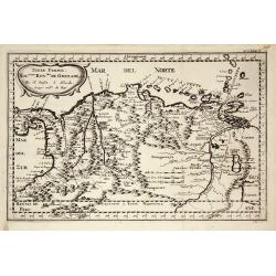
Terre Ferme, Nouveau Royaume de Grenade ?
Fine map of Colombia, Venezuela and the islands of Curaçua, Aruba, Bonaire, etc ... Prepared by N. Sanson. Engraved by A. de Winter.
Date: Amsterdam, 1700
Selling price: ????
Please login to see price!
Sold in 2009
Frontispiece of the sixth part of the Civitates, colored by Anna Beek.
Frontispiece of the sixth part of the Civitates, here implicated, colored and heightened with gold by Mrs. Anna Beek. The engraver and publisher of prints, Mrs. Anna Beek...
Date: The Hague, 1700
Selling price: ????
Please login to see price!
Sold in 2012
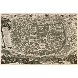
De Heylige wytvermaerde stad Jerusalem eerst genaemt Salem.
Decorative cityplan of Jerusalem.
Date: Amsterdam, c.1700
Selling price: ????
Please login to see price!
Sold in 2010
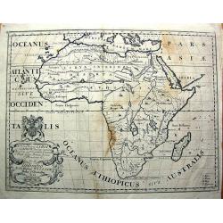
A New Map of Libya or old Africk. . . .
Curious map of ancient Africa, showing the entire continent and Madagascar. With two sources of the Nile. It shows the classic source in the twin lakes of Zaire and Zafla...
Date: Oxford, c1700
Selling price: ????
Please login to see price!
Sold in 2011
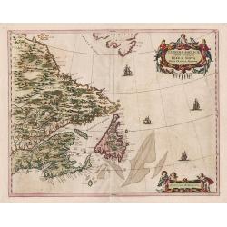
Extrema Americae Versus Boream, ubi Terra Nova Nova Francia, Adiacentiaq.
Rare issue by Pierre Mortier, identical to 1662's map by J. Blaeu. Later reissued by J. Covens also.The map is in a strictly contemporary coloring and of the highest leve...
Date: Amsterdam, c.1700
Selling price: ????
Please login to see price!
Sold in 2014
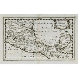
Audience de Mexico.
From a pocket atlas called "Description de tout l'Univers" published by F. Halma. Engraved by A. de Winter.
Date: Amsterdam, 1700
Selling price: ????
Please login to see price!
Sold in 2011
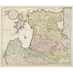
ucatuum Livonia et Curlandiae Novissima Tabula in Quibus sunt Estonia Litlandia et. . .
Nice engraved map of Estonia and Lithuania and parts of Russia. Decorative title cartouche supported by cherubs in the upper left corner.Uncommon issue published by Joach...
Date: Amsterdam, 1700
Selling price: ????
Please login to see price!
Sold in 2010
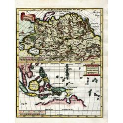
Utrivso Tartariae & Insularum Indicaru.
Two maps on one sheet. The one on top showing northern Russia in great detail, with many mountains, woods, rivers, and towns shown. The map on the bottom shows Indonesia ...
Date: Munich, c1700
Selling price: ????
Please login to see price!
Sold in 2010
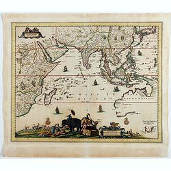
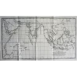
CARTA PARA LA INTELIGENCIA DE LOS ESTABLECIMIENTOS DE LOS PORTUGUESES Y HOLANDESES EN LAS INDIAS ORIENTALES.
SCARCE map of the Indian Ocean and South East Asia. Extends from the East African Coast, Madagascar, and Arabia to Formosa (Taiwan), the Philippines, and New Guinea. Fa...
Date: ca. 1700
Selling price: ????
Please login to see price!
Sold in 2010
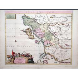
Epirus Pyrrhi Patria / Novantiqua Epirus quae hodie Albania.
A Sanson map of Greece and Albania published by the Covens and Mortier firm.
Date: Amsterdam, 1700
Selling price: ????
Please login to see price!
Sold in 2010
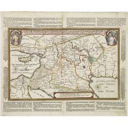
Land Tafel darinnen die gegendt des Paradijs das land Canaan. . .
Beautiful and rare map showing the Holy Land, Syria, Cyprus, Iran, Iraq, etc. With inset portraits showing Adam and Eve. Scale in lower part, with little cartouche giving...
Date: Germany, ca. 1700
Selling price: ????
Please login to see price!
Sold in 2010
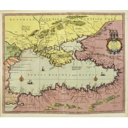
[No title] La mer noire, autrefois Pont-Euxin. . .
Maps of the region Black sea, showing the cities of Constantinople, Heraclee, Kafa. . . From his 'Atlas Curieux'.
Date: Paris, 1700
Selling price: ????
Please login to see price!
Sold in 2010
Ponti euxini cum periplus auctore N.Sanson.
A very rare map of the Black Sea area prepared by Nicolas Sanson. The map is in stunning full colors.
Date: Amsterdam, 1700
Selling price: ????
Please login to see price!
Sold in 2010
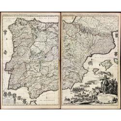
Theatre de la Guerre en Espagne et en Portugal.
A exceptional detailed wall map of Spain and Portugal with a huge beautiful designed title cartouche. Printed from 4 plates, two each already joined. Size of both sheets ...
Date: Amsterdam, 1700
Selling price: ????
Please login to see price!
Sold in 2010
Bataille de Zenta, Donnée le 11 de Septembre 1697.
Decorative etching of the siege by Prince Eugène de Savoie of Zenta in Serbia by the French on 11 September 1697. The town, river Tisza and the Ottoman troupes are shown...
Date: Amsterdam, ca. 1700
Selling price: ????
Please login to see price!
Sold in 2010
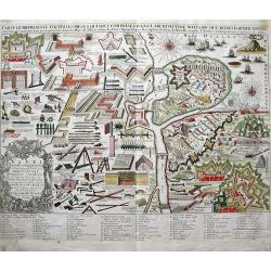
CARTE QUI REPRESENTE TOUTES LES PIECES QUI SONT COMPRISE DANS L'ARCHITECTURE MILITAIRE OU L'ART DES FORTIFICATIONS...
Attractive copper-engraved print of military objects, weapons, cannons, fortifications, buildings, ships, tools, etc. Includes an extensive key with more than 84 descript...
Date: Amsterdam, c1700
Selling price: ????
Please login to see price!
Sold in 2010
Title page from '"Atlas François'.
Decorative title page with a cetain holding the title : Atlas François contenant les cartes géographiques ... les Empires, Monarchies, Royaumes et Estats de l'Europe, ...
Date: Paris, 1700
Selling price: ????
Please login to see price!
Sold in 2010
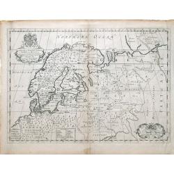
A New Map of Denmark, Norway, Sweden, & Moscovy shewing their present general divisions, chief cities or towns, rivers and mountains & c.
Fine map of Scandinavia and Russia from 1700, dedicated to the Duke of Glocester. Cartouche with English coat of arms is in the upper left corner.
Date: London, 1700
Selling price: ????
Please login to see price!
Sold in 2010
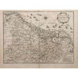
Novus XVII Inferioris Germania, Proviniarum Typus.
Finely detailed map of Belgium and Holland from Merian's Topographia Germania Inferioris. Ships, sea monsters, and a pretty compass rose are depicted in the North Sea.
Date: Frankfurt, 1700
Selling price: ????
Please login to see price!
Sold in 2010
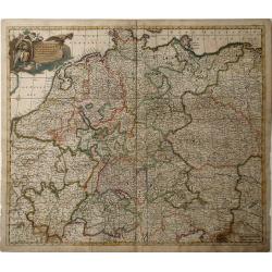
Nova et Prae Caeteris Alis Correcta Germaniae Tubula Comprehendens Accuratam X. Circulorum, Bohemiae, Regni, AC Univerfae Helvetia Defcriptionem, Cum Divifione in Caeterais Partes.
An overall map of Western Europe by Frederick De Witt which includes Saxony, France, Poland, Bohemia, and parts of Northern Italy down to the Venetian Gulf. Major cities ...
Date: Amsterdam, cira 1700
Selling price: ????
Please login to see price!
Sold in 2010
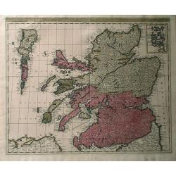
Regnun Scotiae, feu pars Septent: Magnae Brittanniae, divifa in Scotiam Septent: et Auftralem, porro autem in Comit: Rossiam Maraviam, Praefect: Lavdoniam, Renefroviam et Arandum, una cum Infulis Ebuda Occident: et Orient: Mula, Jura et Ila.
A wonderfully detailed map of Scotland and the islands off its coast by Gerard and Leonard Valk. This map includes major cities, rivers and towns, and at the top right in...
Date: Amsterdam, 1700
Selling price: ????
Please login to see price!
Sold in 2010
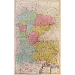
Theatre de la Guerre en Austriche, Baviere, Souabe, Le Tirol. Et le Pays aux Environs.
Colorful map of the Kingdom of Bohemia located in central Europe, present day-Czech Republic and Austria, until its dissolution in 1806. Different regions of Bohemia are ...
Date: Amsterdam, c. 1700
Selling price: ????
Please login to see price!
Sold in 2010
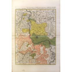
Partie Septentrionalo Des Pats qui sont situez entre le Rhein, la Saare, la Moselle, et la Basse Alsace.
This vibrantly colorful map focuses on the Rhine River region in southern Germany and its tributaries, extending into France. The Rhine is illustrated in the center of th...
Date: Amsterdam, c. 1700
Selling price: ????
Please login to see price!
Sold in 2010
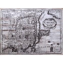
Chine.
Scarce and interesting map of China printed from a reworked Cloppenburgh plate. Latin names and hachuring have been burnished from the plate and the original title “Chi...
Date: Amsterdam, 1700
Selling price: ????
Please login to see price!
Sold in 2012
[No tittle] The Sea Coasts south of England and Brittany in France.
Detailed of the Channel with Cornwall and Brittany.
Date: London, c.1700
Selling price: ????
Please login to see price!
Sold in 2011
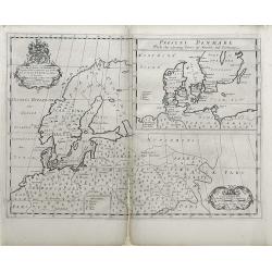
A New Map of Ancient Scandinavia together with as much more of y Northern Part of Ancient Europe as Anvers to Present Denmark & Moscovia
Map of Scandinavia, with an inset map of Denmark, from Edward Wells' "A New Sett Of Mapps Of Ancient And Present Geography ..." Wells was a teacher of mathemati...
Date: Oxford, 1700
Selling price: ????
Please login to see price!
Sold in 2010
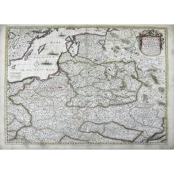
Regni Poloniae et Ducatus Lithuaniae, Volinae, Podoliae, Ucraniae, Prussiae et Curlandiae . . .
Finely detailed map of the Baltic Sea region, including the regions of Poland, Hungary, Prussia, Ukraine, eastern Germany, and southwest Sweden by Frederick de Wit. Villa...
Date: Amsterdam, c.1700
Selling price: ????
Please login to see price!
Sold in 2010
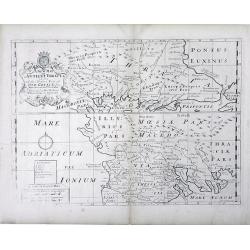
A New Map of Antient Thrace: as also Of the Northern Parts of Old Greece, Macedonia and Thessalia Dedicated to His Highness William Ducke of Glocester.
Map of Thrace, a historical and geographical region in Southeast Europe, currently the area of Northern Greece and Bulgaria, including parts of Macedonia and Thesalia (no...
Date: Oxford, c. 1700
Selling price: ????
Please login to see price!
Sold in 2010
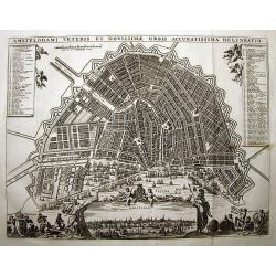
AMSTELODAMI VETERIS ET NOVISSIMAE URBIS ACCURATISSIMA DELINEATIO
SCARCE and unknown city plan of Amsterdam by or after (?) Visscher. Smaller edition of Visschers famous map of Amsterdam from ca. 1678. Embellished with numerous figures...
Date: ca. 1700
Selling price: ????
Please login to see price!
Sold in 2011
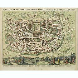
De Heylige en Wytvermaerde Stadt Jerusalem eerst genaemt Salem Genesis 14 Vers 18.
Very attractive bird's-eye view of Jerusalem, showing the city laid out in blocksIn the foreground are shown Christ on the cross at Mount Calvary, and Solomon at Mount Gi...
Date: Amsterdam, c. 1700
Selling price: ????
Please login to see price!
Sold in 2011
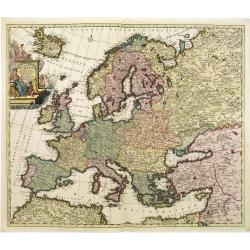
Accuratissima Europae tabula multis locis correcta. . .
Uncommon map of Europe with fine title cartouche, likely after a design by Philip Tideman.
Date: Amsterdam, c.1700
Selling price: ????
Please login to see price!
Sold in 2011
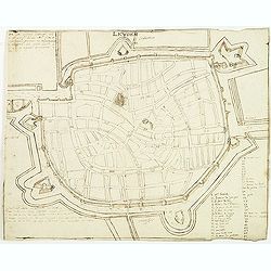
Leyden.
Manuscript fortification town-plan of Leiden, as it was at about 1670. With a numbered key (1-46) pointing to the important buildings, streets and canals in town.
Date: France, ca. 1670-1700
Selling price: ????
Please login to see price!
Sold in 2013
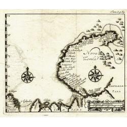
Nova Zemla.
Unknown copper-engraved map of Nowaja Semlja (Новая Земля). Shows t...
Date: ca.1700
Selling price: ????
Please login to see price!
Sold in 2011
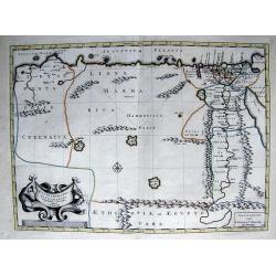
PATRIARCHATUS ALEXANDRINI...
Very interesting copper engraved map of Egypt and Lybia.Shows the Nile river with numerous ancient place names and some more cities along the coast are named.Mystical lar...
Date: Amsterdam, ca. 1700
Selling price: ????
Please login to see price!
Sold in 2011
[Title page] Voyage de C. de Brun.
Title pages from Cornelis de Bruijn's first travel book, engraved by J.Mulder.Cornelis de Bruijn (c.1652-1727) was a Dutch artist and traveler. He is best known for his d...
Date: Delft, H. de Krooneveld, 1700
Selling price: ????
Please login to see price!
Sold in 2011
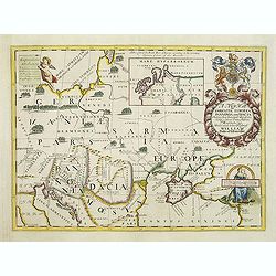
A new map of Sarmatia Europaea Pannonia and Dacia. . .
Decorative map of the region between the Baltic, Adriatic and Black Seas. This decorative map was part of a set of 22 maps dedicated to William, Duke of Gloucester, who w...
Date: Oxford, 1700
Selling price: ????
Please login to see price!
Sold in 2011
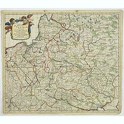
Regni Poloniae et Ducatus Lithuaniae Voliniae..
Rare map issued by Justus Danckerts attractive map of Poland and Lithuania.Decorative title cartouche upper left hand corner.The map has strong original coloring, the tit...
Date: Amsterdam, 1700
Selling price: ????
Please login to see price!
Sold in 2011
Sulthan Solyman Turckischer Kayser.
Portrait of Kanuni Sultan Süleyman (6 November 1494 – 5/6/7 September 1566) was the tenth and longest-reigning Sultan of the Ottoman Empire, from 1520 to his death in ...
Date: Germany, c. 1700
Selling price: ????
Please login to see price!
Sold in 2011
Turckischer Keyser Sultan Mahumet III und XV Osmaniers geschlechts und stammes.
Portrait of Sultan Mahumet III who was born on the 30th of December in 1673. He was intelligent and educated by famous scholars.Sultan Ahmed III acceded the throne after ...
Date: Germany, c.1700
Selling price: ????
Please login to see price!
Sold in 2011
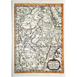
Partie de la HAUTE AETHIOPIE ou sont L'EMPIRE des ABISSINS et la NUBIE &c.
An excellent map of the Nile with its mythical sources. Shows the Nile River from Zaire Lake and Zaflant Lake, until Assuan / Aswan). Richly detailed with place names, hi...
Date: Paris, ca 1700
Selling price: ????
Please login to see price!
Sold in 2019
Cette Carte DE CALIFORNIE et DU NOUVEAU MEXIQUE.[Rare 1st edition!]
Rare and important map of California ,New Mexico and New Spain, showing in detail California as an island [San Francisco, San Diego and Mendocino are mentioned among many...
Date: Paris 1700
Selling price: ????
Please login to see price!
Sold in 2021
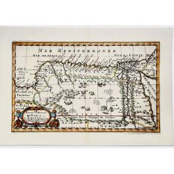
ROYAUME et Desert De BARCE, et L'AEGYPTE divisee en ses Principales Parties.
Very fine, decorative map of Egypt prepared by N.Sanson. Engraved by A.de Winter.
Date: Paris, 1700
Selling price: ????
Please login to see price!
Sold in 2019
LA GUINEE et Pays circonvoisins.
Attractive copper engraved map of the Guinea coast including Guinea, Benin and Congo. Nicely detailed and decorated with a title cartouche that credits Gerard Mercator an...
Date: Amsterdam 1700
Selling price: ????
Please login to see price!
Sold in 2019
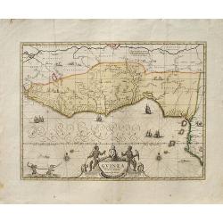
Guinea.
A decorative map of West Africa. The map includes numerous animals in the interior, sailing ships and an elegant cartouche. Published in Amsterdam by P. Schenk and G. Val...
Date: Amsterdam, ca. 1700
Selling price: ????
Please login to see price!
Sold in 2019
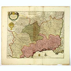
Gouvernement General de Languedoc. Divise en ses Vint Deux Diocesez.
A lovely late seventeenth century map of the central south French region of Languedoc, part of which borders the Mediterranean Sea by Dutch publisher and cartographer, Fr...
Date: Amsterdam, ca 1700
Selling price: ????
Please login to see price!
Sold in 2019
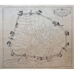
Hanc VIENNAE Quam vides Geometricam faciem Archimedem Siracusanum, Augustinus Hirsfogel a suo depictam radio imitatus est Anno. 1552.
Rare copper engraving of the circular plan of Vienna with its bastions, walls and wall towers, and gates. It shows the fortress Vienna after thoroughly modernizing its de...
Date: Vienna, around 1700
Selling price: ????
Please login to see price!
Sold in 2019
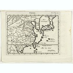
Chine.
RARE miniature map of China, Korea, Japan and Taiwan. The map is of interest for the use of East Sea, the sea between Korea and Japan, here called "Mer Orientale&quo...
Date: Paris, ca. 1700
Selling price: ????
Please login to see price!
Sold in 2023
GEOGRAPHISCHE UNIVERSAL-ZEIG UND SCHLAG-UHR.[Rare first edition]
A map of the Northern Hemisphere showing California as an Island. Inspired by the German clockmaker Zacharias Landteck. The map is placed within an engraved table case cl...
Date: Nuremberg, ca 1700
Selling price: ????
Please login to see price!
Sold in 2020
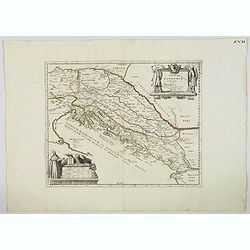
Veteris Pannonia utriusque nec non Illyrici descriptio Geographica . . .
A delightful map of the ancient Dalmatian coastline, that includes parts of modern day Austria, Hungary and Croatia, engraved by Joseph Thoal, and printed at the Seminary...
Date: Padua, ca 1700
Selling price: ????
Please login to see price!
Sold in 2023
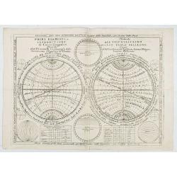
Primi Elementi, o introductione al Corso Geografico..
An introduction to geography, with a double hemisphere, spheres of longitude and latitude and distance tables, showing equator, climate zones, etc. Several smaller diagra...
Date: Venice, 1700
Selling price: ????
Please login to see price!
Sold in 2020
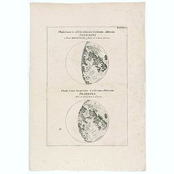
Phasis Lunae in orbem insinuatae Crescentis, observata Segedini Anno MDCXCVI Die 9. Julii st. N. hor.i. a Oocc.
Two moon projections on one sheet according to J. Hevelius.
Date: ca. 1700
Selling price: ????
Please login to see price!
Sold in 2020
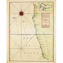
Carte Particuliere des Costes de l ' Afrique depuis Cabo Ledi jusques au Cap de Bone Esperance.
Carte Particuliere des Costes de l ' Afrique depuis Cabo Ledi jusques au Cap de Bone Esperance. Pieter Mortier (1661-1711), Amsterdam bookseller and printer of French des...
Date: Amsterdam, 1700
Selling price: ????
Please login to see price!
Sold in 2020
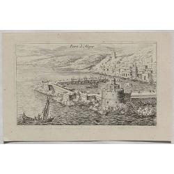
Port d'Alger.
A fine copper engraved city view of Algiers, in Algeria from about 1700.
Date: Paris, ca 1700
Selling price: ????
Please login to see price!
Sold in 2020
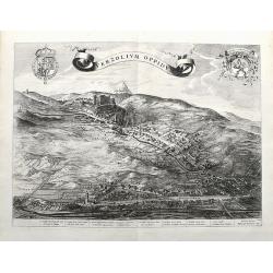
Verzolium Oppidum.
A large birds-eye view of the town of Verzuolo. The town lies between Cuneo and Torino. Superbly engraved with numerous houses, a monastery, and the general landscape. A ...
Date: Amsterdam, ca 1700
Selling price: ????
Please login to see price!
Sold in 2021
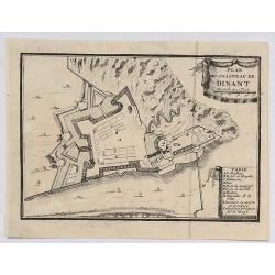
Plan du Chasteau de Dinant.
A plan of the castle of Dinant in Belgium, showing the fortifications. It features a ribbon decorative cartouche, and a detailed table of key places.
Date: Paris, ca 1700
Selling price: ????
Please login to see price!
Sold in 2020
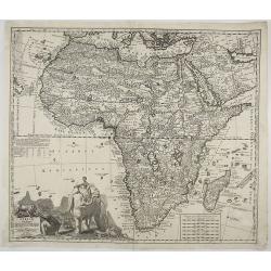
Africae in Tabula Geographica Delineatio.
An attractive and detailed map of Africa, drawn by Zurner and published by Pieter Schenk. It's an updated version of the previous Schenk map, which was based on Visscher....
Date: Amsterdam, ca 1700
Selling price: ????
Please login to see price!
Sold in 2020
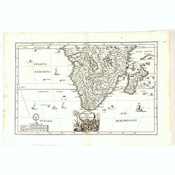
Africae Pars Australis.
Africa south of the equator. Beautiful cartouche with the title above in a scroll. Nice margins, excellent condition.
Date: Munich, 1700
Selling price: ????
Please login to see price!
Sold in 2020
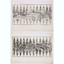
Hos Globos Terracqueum, ac Coelestem Dicat. . .
A very rare pair of 15 cm (6 inch) globe gores.Two sets of 12 gores on 2 sheets for a pair of terrestial and celestial globes. Terrestria: California as an island, Terra ...
Date: Venice, 1700
Selling price: ????
Please login to see price!
Sold in 2020
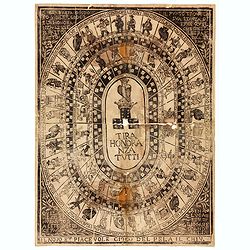
Tira Honoranza Tutti.
Game of the Goose board with four concentric ovals containing squares with dice, human figures or owls, in the center a crowned owl atop a crown resting on three dice sho...
Date: Lucca, ca 1700
Selling price: ????
Please login to see price!
Sold in 2020
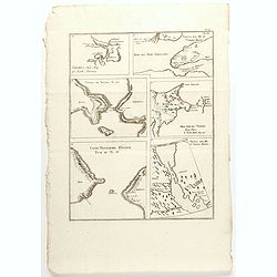
Carver's new map of North America. . .
6 maps on a sheet Carver's map of North America, among other maps of Strait Anian.
Date: England, ca. 1700
Selling price: ????
Please login to see price!
Sold in 2020
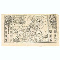
Les XVII Provincies des Pais Bas.
Map of the Netherlands, with coats of arms.
Date: Amsterdam, 1700
Selling price: ????
Please login to see price!
Sold in 2020
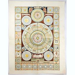
Idea dell'Universo.
This is a set of diagrams relating to astronomy and astrology, with wind head borders. The subjects include a perpetual calendar, the zodiac, the parts of the body domina...
Date: Venice, c. 1700
Selling price: ????
Please login to see price!
Sold in 2021
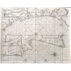
A Sea Chart of part of the Coasts of Gallisia and Portugall from Capo do Finisterre...
An unusual sea-chart of Portugal, two parts on one sheet. The top part is from Villa Nova until Peniche, the bottom part from Peniche until Lagos in the Algarve. Includes...
Date: London, ca 1700
Selling price: ????
Please login to see price!
Sold in 2021
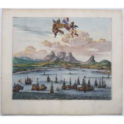
LE CAP DE BONNE ESPERANCE.
Probably the finest view of Cape Town. Beautifully engraved. A sea battle in the foreground with at least 15 galleons.With Tabletop mountain as the backdrop. Two putti ho...
Date: Leiden, ca 1700
Selling price: ????
Please login to see price!
Sold in 2021
[Lot of 9 maps / prints of SOUTH AFRICA] Carte du Congo et du Pays des Cafres.
Guillaume de l 'Isle's influential map of South Africa. Guillaume de l' Isle (1675-1724), Royal Geographer, was the most influential cartographer of the first quarter of ...
Date: Paris, c. 1700
Selling price: ????
Please login to see price!
Sold in 2022
Pas-Kaert van de Cust van Noorwegen Beginnende van Der Neus tot aen Bommel Sond.
Very decorative sea chart of Norway by J. Van Keulen, shows VVest Agder and Rogaland, oriented to the East. Plate number 12 in lower right corner.Inset chart: Pascaertie ...
Date: Amsterdam, 1700
Selling price: ????
Please login to see price!
Sold in 2022
Henricus Hondius.
Portrait of Henricus Hondius. Fredericus Bouttats fecit, Ioan Meyssens excud.
Date: Antwerpen, 1700
Selling price: ????
Please login to see price!
Sold in 2023
Sanitati et Voluptati inservientes herbae thee et caffe.
Copper-plate engraving showing a group of fashionably dressed men and women, drinking tea or coffee. "Paulus Decker inv. et del.; Ioh. Christoph Steudner sculp.; Mar...
Date: Augsburg, 1700
Selling price: ????
Please login to see price!
Sold in 2024
Nova Tabula Indiae Orientalis.
Covers an area from the Cape of Good Hope to Japan, including the East Indies, and Australia as discovered by Tasman lettered Nova Hollandia, Terradel Zur . An unchanged ...
Date: Amsterdam, 1700
Selling price: ????
Please login to see price!
Sold in 2023
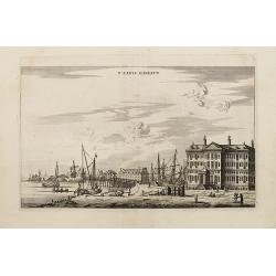
T' LANTS MAGESYN.
A decorative print of the 'T Landts Magazyn of the V.O.C. now-a-days the Maritime Museum.
Date: Amsterdam, 1700
Selling price: ????
Please login to see price!
Sold in 2023
Cimbebas et Caffariae Littora a Catenbela ad Promontorium ..
A delightful Dutch sea chart that shows the coast of Angola, south-west Africa and South Africa up to Port Elizabeth. A truly classic sea chart of Dutch school with excel...
Date: Amsterdam, 1700
Selling price: ????
Please login to see price!
Sold in 2023
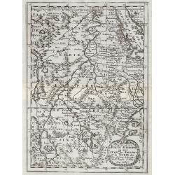
Partie de la Haute Aethiopie ...
Map of the East coast of Africa. From Description de tout l'Univers, published by François Halma.
Date: Amsterdam, 1700
Selling price: ????
Please login to see price!
Sold in 2011
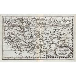
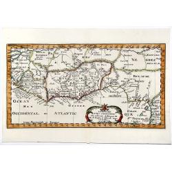
Afrique ou Libie Ulterieure ou sont le Saara ou Desert, ...
Map of the Ivory Coast. From Description de tout l'Univers, published by François Halma.
Date: Amsterdam, 1700
Selling price: ????
Please login to see price!
Sold in 2011

![[No title] La mer noire, autrefois Pont-Euxin. . .](/uploads/cache/28941-250x250.jpg)


![[No tittle] The Sea Coasts south of England and Brittany in France.](/uploads/cache/29447-250x250.jpg)
![[Title page] Voyage de C. de Brun.](/uploads/cache/31056-250x250.jpg)


![Cette Carte DE CALIFORNIE et DU NOUVEAU MEXIQUE.[Rare 1st edition!]](/uploads/cache/83264-250x250.jpg)
![GEOGRAPHISCHE UNIVERSAL-ZEIG UND SCHLAG-UHR.[Rare first edition]](/uploads/cache/83574-250x250.jpg)
![[Lot of 9 maps / prints of SOUTH AFRICA] Carte du Congo et du Pays des Cafres.](/uploads/cache/19581-(1)-250x250.jpg)
