Browse Listings in Europe > Netherlands > Netherlands > BeNeLux
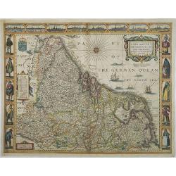
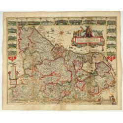
Belgium sive Inferior Germania post omnes..
Early map of the Low Countries, engraved by Abraham Goos and published for the first time in 1618. In the top border town-views of Amsterdam, Dordrecht, Antwerp, and Brus...
Date: Amsterdam, 1618/1631
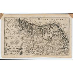
Nova et accurata Foederatarum Orovinciarum Inferioris Germaniae descriptio… 1615 P.Kaerius.
The oldest know map of the Dutch Republik. The extremely rare 1615 edition of the map of the Netherlands. The map is better from from the Cloppenburg editions of the Atl...
Date: J.Janssoius, Arnhem, 1615
[France - The Netherlands - Belgium].
Alexey Afinogenovich Ilyin was a lieutenant general and cartographer (1832-1889). In 1856, after graduating from the Academy of the General Staff, he was at the military ...
- $50 / ≈ €43
Date: St. Petersburg, 1899
Hollande et Belgique.
Detailed Holland and Belgium map, prepared by Charles V. Monin (fl.1830-1880) a French cartographer of Caen and Paris. Published in ''Atlas Universel de Géographie Ancie...
- $50 / ≈ €43
Date: Paris, 1845
Les Dix-Sept Provinces des Pays-Bas. . .
Map of the present-day Benelux by L.C. Desnos. Engraved by Cordier.
- $100 / ≈ €86
Date: Paris, 1784
La descrittione di Belgica con le sve frontiere (maps of the Seventeen Provinces)
La descrittione di Belgica con le sve frontiere Omnis Belgica intra Rhenum, marronam, Sequana[m] ac Oceanum, ... This is one of the earliest printed maps of the Sev...
Date: Antwerp, 1567
Circoscrizione delle Provincie ecclesiastiche e Diocesi nei regni del Belgio, ed Olanda (Tav LXI)
This large-format map showing Belgium and Holland with its different dioceses. The map is finely engraved and beautifully colored and was prepared by Girolamo Petri, a la...
Date: Rome, 1858
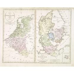
Karta öfver Nederland. / Karta öfver Danmark.
An very rare map of The Low Countries and Denmark with Swedish text. This is an updated version of his map of 1820 and is now dated 1832.From his atlas "Geographisk ...
- $110 / ≈ €95
Date: A. Wiborgs förlag, Stockholm, ca. 1848
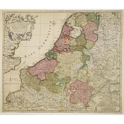
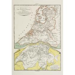
Regno de' Paesi-Bassi compresa la Olanda . . . / La Svizzera . . .
Two rare and detailed maps of The Netherland (210 x 230mm. ) and Switzerland (140 x 230mm.) According to the title cartouche, prepared by J.A.Buchon and A de La Sage for ...
Date: Venice, 1840
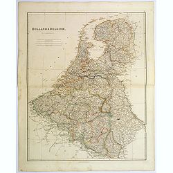
Holland & Belgium.
An attractive steel engraved map of Holland and Belgium. Map flanked by France and Prussia. Duchy of Luxembourg included. Many place names and physical features shown. 4 ...
Date: London, 1839
Septendecm. Provinciae Germaniae Inferior. . .
A general map of the Netherlands, Luxembourg and Belgium. Fine title cartouche showing Mercury, Neptune, globe, etc. Lower right coat of arms of 17 Provinces.
- $225 / ≈ €194
Date: Amsterdam, 1700
Les Provinces des Pays Bas.
RARE. From his first edition of his only folio atlas, the map is relied upon the map of his uncle, Nicolas Sanson. Engraved by I.Somer.A nice map of Netherlands.
Date: Paris 1687
A new mape of Ye XVII Provinces of Low Germanie.
Showing all 17 Provinces of the Netherlands before the split between Spain and the Protestant Provinces under the House of Orange.The map was first published. At the same...
Date: London, 1676
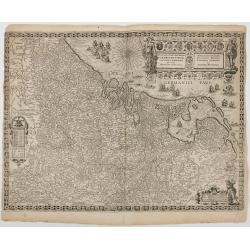
Belgium, sive Inferior Germania post omnes…
Third state (only 3 recorded copies) of this scarce map of the 17 Provinces, published by Peter Verbiest in Antwerp. West at top. The maps by Pieter van den Keere in 1607...
Date: Antwerp, 1636
Carte Generale des Dixet Sept Provinces des Pays Bas.
Rare map of the Low Countries, including Belgium, the Netherlands and Luxembourg after Tassin and offered for sale by the publisher N. Berey.
Date: Paris, 1634
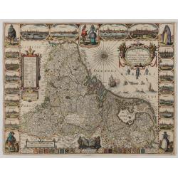
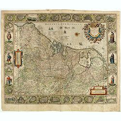
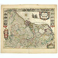
Belgii sive Germaniae Inferioris accuratissima tabula.
Very rare and very decorative map with in the right and left borders costumed figures and town plans alternately. In top and bottom border town plans and views.Separate p...
Date: Amsterdam, 1631
Fiandra Brabantia et Holanda nvova
Fiandra Brabantia et Holanda nvovaDella Fiandra Brabantia, et Olanda quinta nvova tavola d’EuropaThis map is the first known map of the Netherlands as a whole. It comes...
Date: Venetië, 1561
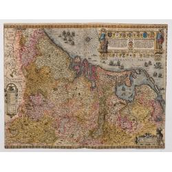
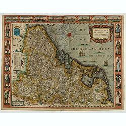
A new mape of Ye XVII Provinces of Low Germanie.
Showing all 17 Provinces of the Netherlands before the split between Spain and the Protestant Provinces under the House of Orange. The map was published while the war of ...
Date: London, George Humble, 1626 [1627
Descrittione di M. Lodovico Guicciardini patritio Fiorentino, di tutti i Paesi Bassi,...
Second Italian edition (variant B) and first Plantin edition (1st Silvius 1567) and the most sought-after edition of the famous description of the Low Countries, updated ...
Date: Antwerp, Plantin, 1581
[Lot of 25 leaves of France, Brabant, Netherlands, Luxemburg]
Twenty-five text leaves with wood block illustrations relating to France, Brabant, the Netherlands, Luxemburg. From the 1552 Latin text edition of Münster's Cosmographia...
Date: Basel, 1552
Deliciae Batavicae.
It is a charming book illustrated with portraits of Willem of Orange and Prince Maurits and eight engraved armorial plates.  Followed by 30 engraved views or scenes of ...
Date: Amsterdam, Johannes Janssonius, 1618
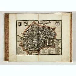
Nova XVII Provinciarum Inferioris Germaniae descriptio .
Extremely rare map of the Benelux by Frederick de Widt. Originally engraved and published by P.Kaerius in 1607. In 1662 the plate came in the possession of Frederick de W...
Date: Amsterdam, 1662
Les Provinces confederées du Pais-Bas
The first wall map of the Seven Provinces of 1651, re-issued as 'Stoel des Oorlogs' by Covens & Mortier. The first issue of the present wall-map is known to be includ...
Date: Amsterdam, c. 1740
Les Pays Bas François, Autrichiens, et Hollandois..
Finely engraved map centered on the Netherlands, extending to include Belgium and Luxembourg.Finely embellished with a large title cartouche surmounted by Mercury's head....
Date: Paris, 1790