Browse Listings in Europe > Netherlands > Brabant > maps
![[North Brabant & Eindhoven] Quarta pars Brabantiae cujus caput Sylvaducis.](/uploads/cache/41639-250x250.jpg)
[North Brabant & Eindhoven] Quarta pars Brabantiae cujus caput Sylvaducis.
1645 BLAEU, W. - The rare second state covering North Brabant & Eindhoven
Date: Amsterdam, 1645
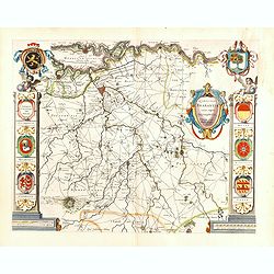
Quarta pars Brabantiae cujus caput Sylvaducis.
1645 BLAEU, W. - Quarta pars Brabantiae cujus caput Sylvaducis.
Date: Amsterdam, 1645
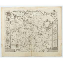
Quarta pars Brabantiae cujus caput Sylvaducis . . .
1645 BLAEU, W. - The final and most decorative third state. The coat of arms of Brabant and 's-Hertogenbosch appears on the map
Date: Amsterdam, 1645
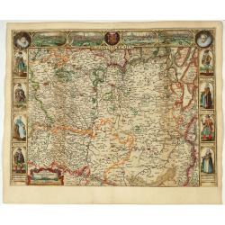
Brabantia Ducatus.
1637 VERBIEST, P. - Brabantia Ducatus. Rare map of Brabant with city views of Leuven, Brussels, Antwerpen, and ' s-Hertogenbosch.
Date: Antwerp, 1637
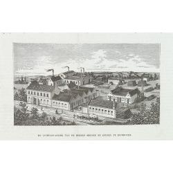
De luciferfabriek van de Heeren Mennen en Krunen te Eindhoven.
1885 DE KATHOLIEKE ILLUSTRATIE - De luciferfabriek van de Heeren Mennen en Krunen te Eindhoven.
Date: s-Hertogenbosch, H.Bogaerts, ca. 1885
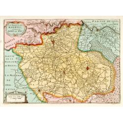
La Mayerie de BOLDVC,. . .
1706 DE LA FEUILLE, D. - La Mayerie de BOLDVC,. . .
Date: Amsterdam, 1706
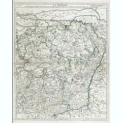
Le Brabant. Ou la Campagne du Roy de 1746. . .
1750 LE ROUGE, G.L - Le Brabant. Ou la Campagne du Roy de 1746. . .
Date: Paris, ca. 1750
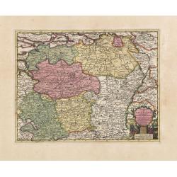
Carte du Brabant, suivant les Nouvelles Observations de Messrs de L'Academie Royale des Sciences etc. . .
1713 VAN DER AA, P. - Carte du Brabant, suivant les Nouvelles Observations de Messrs de L'Academie Royale des Sciences etc. . .
Date: Amsterdam, 1713
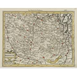
Brabantia.
1608 MERCATOR, G. / HONDIUS, J. - Brabantia.
Date: Amsterdam, 1608
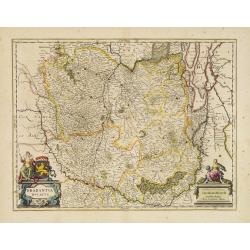
Brabantia Ducatus.
1650 BLAEU, W. - Brabantia Ducatus.
Date: Amsterdam, 1650
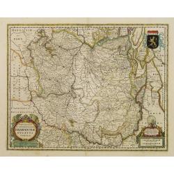
Novissima et Accuratissima Brabantiae Ducatus Tabula.
1629 HONDIUS, H. - Novissima et Accuratissima Brabantiae Ducatus Tabula.
Date: Amsterdam, 1629
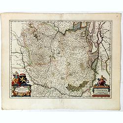
Brabantia Ducatus.
1645 BLAEU, W. - Brabantia Ducatus.
Date: Amsterdam, 1645
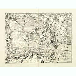
Kaerte van Bergen op Zoom, Steenbergen ende de nieuwe fortificatien gemaeckt tot bevrÿdinge van 't landt van ter Tolen in tjaar 1628.
1628 VISSCHER, C.Jsz. - Kaerte van Bergen op Zoom, Steenbergen ende de nieuwe fortificatien gemaeckt tot bevrÿdinge van 't landt van ter Tolen in tjaar 1628.
Date: Amsterdam, after 1628
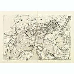
Pas-Caert vande ghelegetheyt vande Schans te Santvliet, Vertoonede de verdroncken overwaeterde Landen, nieuw aengewasse gorsingen,. . .
1630 JANSSONIUS, J. / VISSCHER, C.Jz. - Pas-Caert vande ghelegetheyt vande Schans te Santvliet, Vertoonede de verdroncken overwaeterde Landen, nieuw aengewasse gorsing...
Date: Amsterdam, 1630
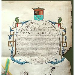
Kaerte en Afbeeldinge vande Geheele Jurisdictie van Stantdarbuyten Gelegen in de Generaliteit onder Marquisaet van Bergen op den Zoom
1737 VAN DER ENDE, A. - Kaerte en Afbeeldinge vande Geheele Jurisdictie van Stantdarbuyten Gelegen in de Generaliteit onder Marquisaet van Bergen op den Zoom
Date: Willemstad, 1737
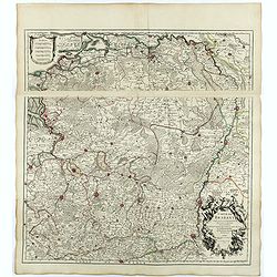
Carte du Brabant.
1705 DE L'ISLE, G. - Carte du Brabant.
Date: Paris, 1705
