Browse Listings in Europe > Netherlands
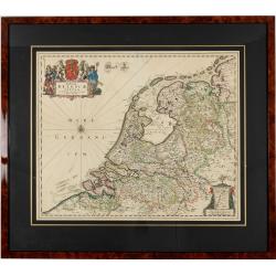
Foederatae Belgicae Tabulae.
1680 DE WIT, F. - Foederatae Belgicae Tabulae.
Date: Amsterdam, 1680
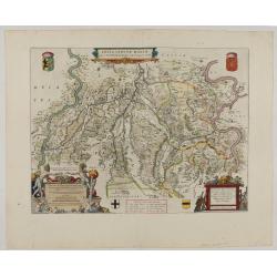
Fossa Sanctae Mariae.
1645 BLAEU, W. - Limburg area between the rivers Rhine and Meuse
Date: Amsterdam, 1645
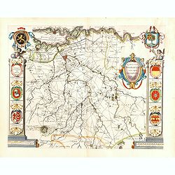
Quarta pars Brabantiae cujus caput Sylvaducis.
1645 BLAEU, W. - Quarta pars Brabantiae cujus caput Sylvaducis.
Date: Amsterdam, 1645
![[North Brabant & Eindhoven] Quarta pars Brabantiae cujus caput Sylvaducis.](/uploads/cache/41639-250x250.jpg)
[North Brabant & Eindhoven] Quarta pars Brabantiae cujus caput Sylvaducis.
1645 BLAEU, W. - The rare second state covering North Brabant & Eindhoven
Date: Amsterdam, 1645
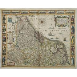
A new mape of Ye XVII Provinces of Low Germanie.
1676 SPEED, J. - A new mape of Ye XVII Provinces of Low Germanie.
Date: London, 1676
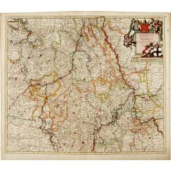
Tabula Episcopatuum Leodiensis et Coloniensis. . .
1700 DANCKERTS, C. - Rare issue of Cornelis Danckert's attractive map of Limburg shows the area of Cologne, Mainz, Trier, Jülich, Mons, Antwerp, and Liege in Belgium
Date: Amsterdam, 1700
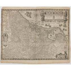
Inferioris Germaniae Provinciarum Nova Descriptio.
1665 ORTELIUS, A. / GALLE, J. - Rare 4th state of the map of the Low Countries and environs, which first appeared in the 1608 edition of Abraham Ortelius
Date: Antwerp, 1665
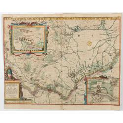
Den Ysel-stroom van Arnhem tot beneden Deventer met een gedeelte van de Veluwe.
1629 VISSCHER, Claes Jansz. - An exceptionally rare news-map intricately charting the course of the IJssel River from Arnhem northward to just past Deventer
Date: Amsterdam, 1629
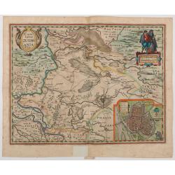
Comitatus Zutphania.
1634 VISSCHER, Claes Jansz. - Map of the County of Zutphen
Date: Amsterdam, 1634
![[☺Lot of 2 maps] Gelriae, Cliviae, Finitimorumque Locorum Verissima Descriptio.](/uploads/cache/49528-250x250.jpg)
[☺Lot of 2 maps] Gelriae, Cliviae, Finitimorumque Locorum Verissima Descriptio.
1612 ORTELIUS, A. / GALLE, Th. - Extremely rare map of Geldria and Limburg, from the very rare Galle edition of the Ortelius Atlas, published after 1612
Date: Antwerp, after 1612
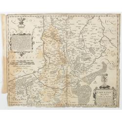
Limburgensis Ducatus Tabula Nova.
1612 ORTELIUS, A. / VRIENTS, J.B. - Rare map of Limburg without text on the verso
Date: Antwerp, 1606-1612
![[Fort Sint-Andries, Bommelerwaard.]](/uploads/cache/49519-250x250.jpg)
[Fort Sint-Andries, Bommelerwaard.]
1600 HOGENBERG, Fr. - Very rare early broadsheet map of the siege of Fort Sint-Andries, Bommelerwaard
Date: C. 1600
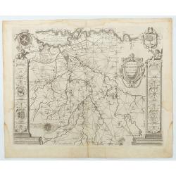
Quarta pars Brabantiae cujus caput Sylvaducis . . .
1645 BLAEU, W. - The final and most decorative third state. The coat of arms of Brabant and 's-Hertogenbosch appears on the map
Date: Amsterdam, 1645
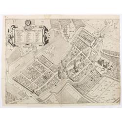
Afbeelding geometri vande oude end playsante graefflijcke stadt Cuylenborch alsoe die nu ter tijt te zien is.
1621 VERSTRALEN, Hendrik Jansz. - Scarce bird’s-eye view of Culemborg (Gelderland) by Hendrik Jansz. Verstralen
Date: Utrecht, 1621
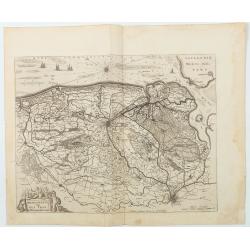
Franconatus Vulgo Het Vrye.
Including the towns of Deventer, Cleve, Diepenheim, Groll and Breedevoordt. Only included in Joan Blaeu's Atlas Major. The "Vrije" (The Free) was the largest an...
Date: Amsterdam, 1664
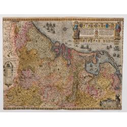
Inferioris germaniae provinciarum nova descriptio.
1635 BLAEU, W. - Only known example, in full contemporary color, of this map charting the Seventeen Provinces
Date: Amsterdam, 1604 but c. 1635
