Browse Listings in Europe > British Isles
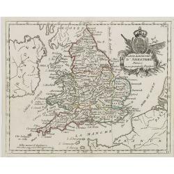
Carte du Royaume d' Angleterre . . .
Map of England and its counties, from Atlas moderne portatif composé de vingt-huit cartes sur toutes les parties du globe terrestre .. A l'usage des Colléges, des Pensi...
Date: Paris, Prudhomme, Levrault, Debray, 1806
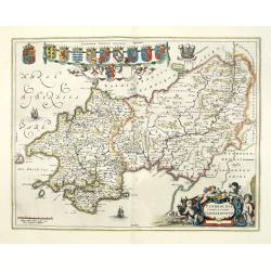
Penbrochia Comitatus et Comitatus Caermaridunum.
Attractive map of the country of Pembroke shire in UK by J. Blaeu. From a Dutch edition of "Atlas Maior" in beautiful color. With 13 coats of arms, the feathere...
Date: Amsterdam, 1648
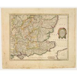
Warwicum Northamtonia Huntingdonia Cantabrigia..
Showing the south-eastern part of England.
Date: Amsterdam, 1642
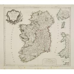
Royaume d'Irelande.. et subdivisé en Comtés.
Finely and crisply engraved map of Ireland.Venetian edition of Giles Didier Robert De Vaugondy's map from Atlas Universel printed in 1776-84.Ornamental title cartouche in...
Date: Venice, 1776 - 1784
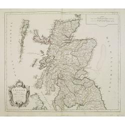
L'Ecosse divisée en Shires et Comtés.
Finely and crisply engraved map of Scotland.Venetian edition of Giles Didier Robert De Vaugondy's map from Atlas Universel printed in 1776-84.Ornamental title cartouche i...
Date: Venice, 1776 - 1784
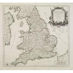
Le royaume d'Angleterre..subdivisé en Shires ou Comtés.
Finely and crisply engraved map of British Isles including the coasts of France and Ireland.Venetian edition of Giles Didier Robert De Vaugondy's map from Atlas Universel...
Date: Venice, 1778 - 1784
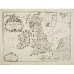
Les Isles Britanniques. . .
Detailed map encompassing present day British Isles.Venetian edition of the map by Bellin, to whom Santini gives credit in the cartouche.From "Atlas Universel" ...
Date: Venice, 1776 - 1784
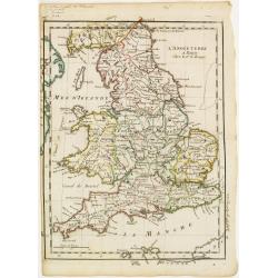
L'Angleterre.
Fine map of England and Wales. George Louis Le Rouge was active from 1740- till 1780 as a publisher, and was appointed engineer for the King of France. From his Atlas Nou...
Date: Paris 1756
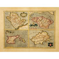
Anglesey. / Iarsay. / Carnesay. / Wight Vectis Olim.
Four maps on one sheet depicting the English islands Jersey, Guernsey, Wright and Alderney.
Date: Amsterdam, 1630
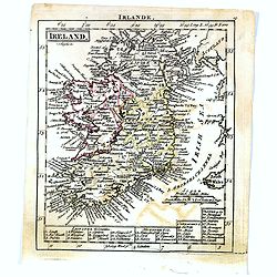
Ireland.
Uncommon miniature map of Ireland, engraved by J. Bayly for "A New General and Universal Atlas Containing Forty five Maps by Andrew Dury".This miniature atlas p...
- $50 / ≈ €43
Date: London, 1761-1763
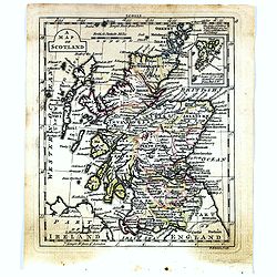
A map of Scotland.
Uncommon miniature map of Scotland, engraved by Thomas Kitching for "A New General and Universal Atlas Containing Forty five Maps by Andrew Dury".This miniature...
- $50 / ≈ €43
Date: London, 1761-1763
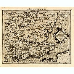
Warwicum Northampton, Huntingdon Cantabr etc.
Showing the south-eastern part of England. From his Atlas Minor. French text on verso.
- $100 / ≈ €86
Date: Amsterdam, c.1630
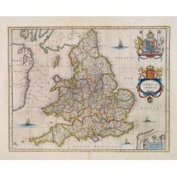
Anglia Regnum.
Willem Blaeu was the first publisher to bring out a new map of England and Wales. The outline and place names are taken from Speed with county boundaries marked but no bo...
- $500 / ≈ €431
Date: Amsterdam, 1650
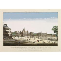
Vüe Perspective de la grande Place du Parc St. Jacques à Londres, du nouveau Batiment des Gardes a Cheval, de l'Amirauté..
So-called optical print illustrating a cortege of subjects accompanying the king to the House of Lords along the Horse guards Road in St. James's Park, in London.The Old ...
- $200 / ≈ €172
Date: Paris, 1760
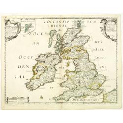
Carte Generale des Royaume d'Angleterre Escosse et Irlande Avecq les Isles circonvoisines Conues toutes soubs le nom de Britanniques / Nouvellement dressee et tiree de Cambdene Spede & autres Par N. Sanson geogr.e Ord.re du Roy
Fine map of the British Isles. The map was first published by Tavernier and later by Mariette. This edition carries the date 1640 and the address of Pierre Mariette: rue ...
- $350 / ≈ €302
Date: Paris, 1640-1657
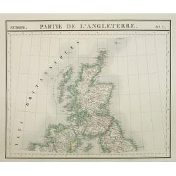
Europe. Partie de l'Angleterre. N°7.
Detailed map including Northern part of England.From his famous Atlas Universel . This atlas was one of the most remarkable world atlases ever produced, anticipating the ...
- $100 / ≈ €86
Date: Brussels, 1825-1827
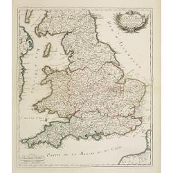
Le royaume d'Angleterre..
Fine map of England and Wales. As well as country details, including the main post roads. Le Rouge was active from 1740- till 1780 as a publisher, and was appointed engin...
- $250 / ≈ €215
Date: Paris, 1745
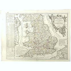
Le Royaume d'Angleterre.
An attractive map centered on England, Wales and the southern part of Scotland. The very decorative cartouche includes a dedication to Jacques II Roy d'Angleterre, d'Esco...
- $650 / ≈ €560
Date: Paris, 1689
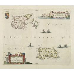
Sarnia Insula vulgo Garnsey et Insula Caesarea venacule Jarsey
Fine map depicting the English islands of Jersey and Guernsey is entitled : "Sarnica Insulavulgo Garnsey et Insula Caesarea vernacule Jarsey". In the cartouche...
- $475 / ≈ €409
Date: Amsterdam, 1660
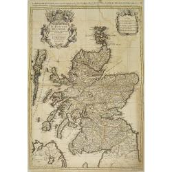
Le Royaume d'escosse divise en partie septentrionale et meridionale. . .
Fine map of Scotland with a decorative title and scale cartouche.Alexis-Hubert Jaillot (1632-1712), was a French cartographer. He joined the Sanson heirs and redrew Nicol...
- $500 / ≈ €431
Date: Amsterdam, 1692
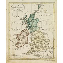
Grossbritanien und Irland.
Nice small map of the British isles and Ireland by Johannes Walch in his rare Allgemeiner Atlas Nach den bewährsten Hülfsmitteln und astronomischen Ortsbestimungen…, ...
- $50 / ≈ €43
Date: Augsburg, 1812
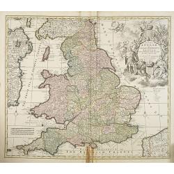
Regni Angliae et Wallae principatus Tabula, divisa in LII Regiones. . .
A detailed and decorative map of England, with an attractive uncolored title cartouche. The map is a re-issue of Carolus Allard's map. The elaborate title cartouche in th...
- $400 / ≈ €345
Date: Amsterdam c. 1744
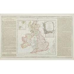
Les Isles Britanniques..
An attractive map of the British Isles including an inset of the Orkney and Shetland Islands. Finely embellished with a large title cartouche.The map is flanked by two co...
- $90 / ≈ €78
Date: Paris, 1790
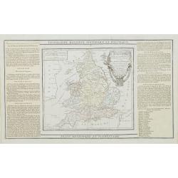
L'Angleterre divisée en 5 grandes Parties. . .
A very attractive map of England and Wales showing its 52 counties and the major cities as well as five large regional divisions.Finely embellished with a large title car...
- $100 / ≈ €86
Date: Paris, 1790
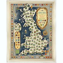
National saving map og the British Isles . . .
A brilliantly eccentric poster showing the festivals, customs of the British Isles with the arms and seals of the counties.Founded in 1861, National Savings is a state-ow...
- $450 / ≈ €388
Date: London, 1951
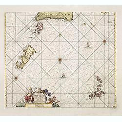
Paskaart Vande Noord Cust van Schotland als mede de Eylanden van Hitland en Fero. . .
Decorative chart, with south to the top. Latitude scale, compass rose and system of rhumb lines, soundings, anchorage's, etc. In the lower right corner, with added number...
- $500 / ≈ €431
Date: Amsterdam, 1753
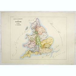
Provincia ecclesiastica di Westminster Londra in Inghilterra (Tav LXXXIV)
A large-format map of the British Isles with its different dioceses. The map is finely engraved and beautifully colored and was prepared by Girolamo Petri, a lawyer who s...
- $300 / ≈ €259
Date: Rome, 1858
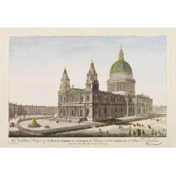
The North West Prospect of S. Pauls Cathedral in London.
Uncommon optical print illustrating a view of St. Paul's Cathedral in London.In the eighteenth and nineteenth centuries there were many popular speciality establishments ...
- $275 / ≈ €237
Date: Paris, 1760
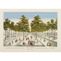
40e Vue d'Optique Representant Le Parc Royal de St. James a Londres.
So-called optical print illustrating a perspective view of Saint James Park, in London.In the eighteenth and nineteenth centuries there were many popular speciality estab...
- $250 / ≈ €215
Date: Paris, 1760
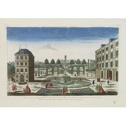
Vue et perspective d'un Jardin du Roy d'Angleterre aux environs de Londres.
So-called optical print of one of the King's Royal Gardens in the London vicinities.Published by the brothers Chéreau, active in Paris at rue St. Jacques au dessus de la...
- $150 / ≈ €129
Date: Paris, 1760
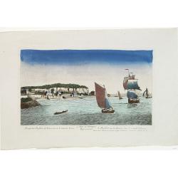
Prospectus Purfleet ad Tamesim in Comitatu Essex Representant le Purfleet sur la Tamise dans le Comté d'Essex. 21e VUE d'Optique.
A so-called optical print of the vessel Purfleet navigating on the River Thames in Essex, England. Published by the brothers Chéreau, active in Paris at rue St. Jacques...
- $300 / ≈ €259
Date: Paris, 1760
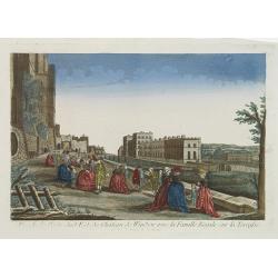
Vue de la Partie Sud Est du Château de Windsor avec la Famille Royale sur la Terrasse. Et vue du Palais de la Reine.
A so-called optical print view of the Royal family at the terrace of the South East wing of Windsor Castle as well as the Queen's Palace. Published by the brothers Chére...
- $200 / ≈ €172
Date: Paris, 1760
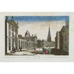
Universatis ae Reginae Collegiorum prospectus Oxfordiae Représentant le College de l'Université, et celui de la Reine a Oxford. 63 Vue d'optique.
A so-called optical print of Queens College on High Street in Oxford. As most optical prints, due to the fact that they are used to be looked at in a mirror, the subject ...
- $275 / ≈ €237
Date: Paris, 1760
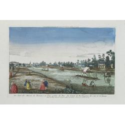
Vue d'une des Maison de Plaisance et d'une partie du Parc du Comte de Burlington du Coté de la Tamise.
A so-called optical print of Burlington County and the River Thames. Published by the brothers Chéreau, active in Paris at rue St. Jacques au dessus de la Fontaine St. S...
- $225 / ≈ €194
Date: Paris, 1760
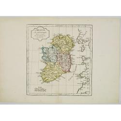
L' Irlande.
Map of Ireland. By C. F. Delamarche, successor of Robert de Vaugondy, Geographer.
- $90 / ≈ €78
Date: Paris, 1794 - 1806
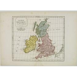
Les Isles Britanniques.
Map of British Isles. By C. F. Delamarche, successor of Robert de Vaugondy, Geographer.
- $80 / ≈ €69
Date: Paris, 1794 - 1806
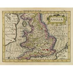
Anglia.
Map of England, from the first French-text edition of Jodocus Hondius'' Atlas Minor.Shortly after the publication of the big folio-atlases the need was apparently felt fo...
- $150 / ≈ €129
Date: Amsterdam, 1608
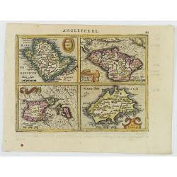
Anglesey Ins. / Wight.. / Ins. Garnesey. / Ins. Iarsey.
A reduced version of Mercator's folio map with four maps on one sheet depicting the English islands of Jersey, Guernsey, Wright and Alderney.Each map is embellished with ...
- $150 / ≈ €129
Date: Amsterdam, 1608
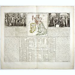
Carte du gouvernement d'Angleterre où l'on représente l'Etat des officiers de Guerre. . .
Decorative map on the British Isles, with idyllic scenes showing councils of the various military officers of the British Isles. Henri Abraham Chatelain (1684 – 1743) w...
- $50 / ≈ €43
Date: Amsterdam, 1720
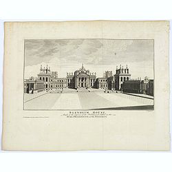
Blenheim House.
An attractive view of the front of Blenheim House (now Palace) home to the present 12th Duke and Duchess of Marlborough. The house was begun in 1705, built by Sir John Va...
- $50 / ≈ €43
Date: London, ca. 1760
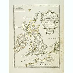
Carte des Isles Britanniques où sont les Royaumes d'Angleterre et d'Ecosse que nous appellons Grande Bretagne et celui d'Irlande avec les isles qui en sont proche . . .
General map of the British isles, with a fine title cartouche upper right with the date 1663 and the complete title reads : "Carte des Îles britanniques où se trou...
- $250 / ≈ €215
Date: Paris, 1663
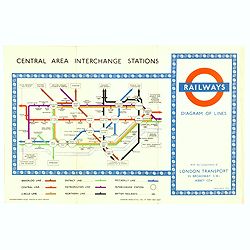
1953 Harry Beck London Underground map.
Published in the Queen's coronation year. A London Underground map (double sided).
- $150 / ≈ €129
Date: London, 1953
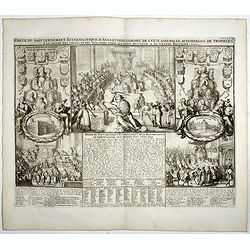
Carte du gouvernement ecclesiastique d'Angleterre . . .
Elegant engraving of the ecclesiastical government of England, with an engraving showing three images: in the centre, an ecclesiastical assembly (Convocation of the Clerg...
- $100 / ≈ €86
Date: Amsterdam, 1720
![[Oxford Canal from Oxford to Coventry].](/uploads/cache/37232-250x250.jpg)
[Oxford Canal from Oxford to Coventry].
Manuscript map covering the Oxford Canal. Orientated East to the North. The Oxford Canal is a 78-mile-long (126 km) narrow canal in central England linking Oxford with Co...
- $140 / ≈ €121
Date: ca. 1900
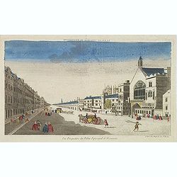
Vue perspective du palais episcopal de Westminster.
So-called optical print illustrating a perspective view of the old Palace of Westminster where the Lords and Commons met and the square facing it.. Published by Jacques C...
- $150 / ≈ €129
Date: Paris, ca. 1750
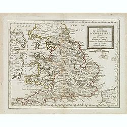
Carte du Royaume d'Angleterre. . .
Scarce map of England prepared by Nolin and published by L.J. Mondhare for his Atlas Général a l'usage des colleges et maisons d'education.Louis Joseph Mondhare was act...
- $100 / ≈ €86
Date: Paris, 1783
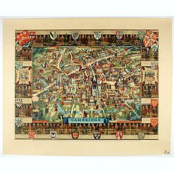
Cambridge.
Though the city had endured significant damage during the Second World War, which ended only a few years prior to publication, there is little indication of the destructi...
- $550 / ≈ €474
Date: London, 1948
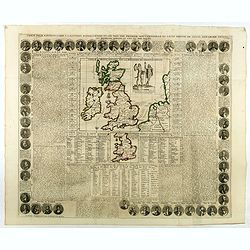
Carte Pour l'Introduction a l'Histoire d'Angleterre, ou l'on Voit son Premier Gouvernement, et l'Etat Abrege de cette Monarchie sous les Empereurs Romains, et sous les Rois Saxons.
The sheet includes a large inset map of Roman Britain including the English Channel and the western coast of France (200 x 255mm.). It also provides a wealth of informati...
- $200 / ≈ €172
Date: Amsterdam, 1720
