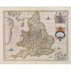
Browse Listings in Europe > British Isles
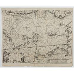
Pascaart van de west cust van Engeland en Wales Van S. Davids Point tot de Moul van Dalway.
1668 DONCKER, H. - Rare Doncker's sea chart of the Irish Sea with the west Coast of England
Date: Amsterdam, 1660-1668
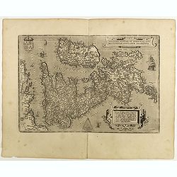
Angliae, scotiae, et Hiberniae, sive Britannicar: insularum.
1598 ORTELIUS, A. - Fine general map of the British Isles and Ireland
Date: Anwerp, 1598
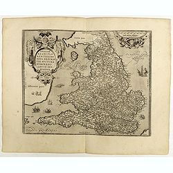
Angliae Regni Florentissimi Nova Descriptio Auctore Humfredo Lhuyd Denbygiense
1598 ORTELIUS, A. - Fine general map of England and Wales
Date: Antwerp, 1598
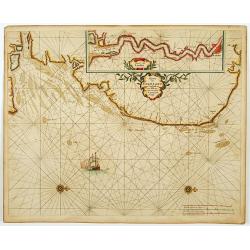
Pascaert van Engelant Van t'Voorlandt tot aen Blakeney waer in te sien is de mont vande Teemse.
1666 GOOS, P. - Antique sea chart of the southeast coast of England with an inset of the Thames to London
Date: Amsterdam, 1666
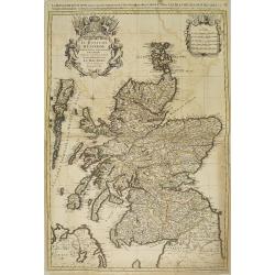
Le Royaume d'escosse divise en partie septentrionale et meridionale. . .
1692 JAILLOT, A.-H. / MORTIER, P. - Le Royaume d'escosse divise en partie septentrionale et meridionale. . .
Date: Amsterdam, 1692
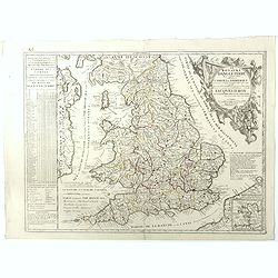
Le Royaume d'Angleterre.
1689 NOLIN, J.-B. / CORONELLI, V.M. - Le Royaume d'Angleterre.
Date: Paris, 1689
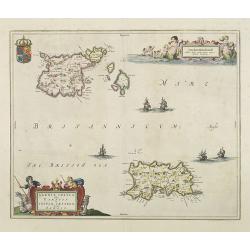
Sarnia Insula vulgo Garnsey et Insula Caesarea venacule Jarsey
1660 BLAEU, J. - Sarnia Insula vulgo Garnsey et Insula Caesarea venacule Jarsey
Date: Amsterdam, 1660
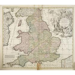
Regni Angliae et Wallae principatus Tabula, divisa in LII Regiones. . .
1744 COVENS, J. / MORTIER, C. - Regni Angliae et Wallae principatus Tabula, divisa in LII Regiones. . .
Date: Amsterdam c. 1744
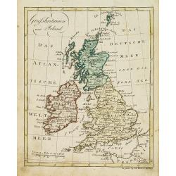
Grossbritanien und Irland.
1812 WALCH, J. - Grossbritanien und Irland.
Date: Augsburg, 1812
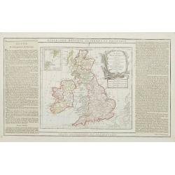
Les Isles Britanniques..
1790 DESNOS, L.-C. / BRION DE LA TOUR - Les Isles Britanniques..
Date: Paris, 1790
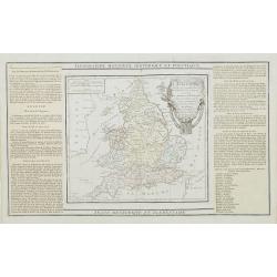
L'Angleterre divisée en 5 grandes Parties. . .
1790 DESNOS, L.-C. / BRION DE LA TOUR - L'Angleterre divisée en 5 grandes Parties. . .
Date: Paris, 1790
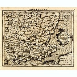
Warwicum Northampton, Huntingdon Cantabr etc.
1630 MERCATOR, G. / HONDIUS, J. - Warwicum Northampton, Huntingdon Cantabr etc.
Date: Amsterdam, c.1630
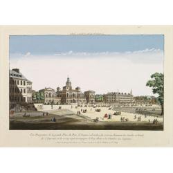
Vüe Perspective de la grande Place du Parc St. Jacques à Londres, du nouveau Batiment des Gardes a Cheval, de l'Amirauté..
1760 HUQUIER - Vüe Perspective de la grande Place du Parc St. Jacques à Londres, du nouveau Batiment des Gardes a Cheval, de l'Amirauté..
Date: Paris, 1760
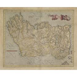
Irlandiae Regnum.
1630 MERCATOR, G. / HONDIUS, J. - Irlandiae Regnum.
Date: Amsterdam, 1630
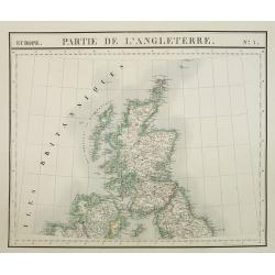
Europe. Partie de l'Angleterre. N°7.
1827 VANDERMAELEN, Ph. - Europe. Partie de l'Angleterre. N°7.
Date: Brussels, 1825-1827