Browse Listings in Europe > Belgium > Belgium Provinces
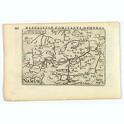
Namur.
1606 LANGENES, B. / BERTIUS, P. - A lovely miniature map of Namur.
Date: Amsterdam, 1606
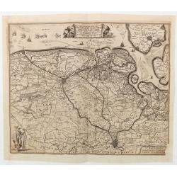
Het Noorder deel van T'Graefschap Vleandren vervatende het vrye Mits-gaders Axe…
1644
Date: Antwerp, 1644
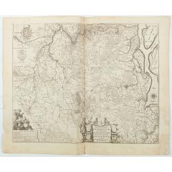
Tertia Pars Brabantiae . . .
West is at the top. In the lower left, the cartouche is embellished with male figures holding compasses, a globe, a book, and winckel-kruis. At the bottom, right of the c...
Date: Amsterdam, 1650
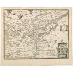
Namurcum Comitatus.
After 1612 ORTELIUS, A. / GALLE, Th. - The last and very rare state with the signature of Theodorus Galle.
Date: Antwerp, after 1612
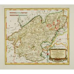
Des Hochstifts Luttich..
1791 VON REILLY, F.J.J. - Des Hochstifts Luttich..
Date: Vienna, 1791
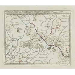
V. Carte du Brabant ou se trouvét les Mair.s d'Herentals.. Hochstraten.
1748 DE VAUGONDY, G. R. / - V. Carte du Brabant ou se trouvét les Mair.s d'Herentals.. Hochstraten.
Date: Paris, later than 1748
![[X.] Carte du Brabant où sont les environs de Tillemont, de Judoigne, de Gemblours &c.](/uploads/cache/24690-250x250.jpg)
[X.] Carte du Brabant où sont les environs de Tillemont, de Judoigne, de Gemblours &c.
1748 DE VAUGONDY, G. R. / - [X.] Carte du Brabant où sont les environs de Tillemont, de Judoigne, de Gemblours &c.
Date: Paris, later than 1748
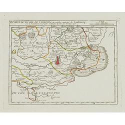
VI. Carte du Duché de Limbourg où sont les environs de Limbourg.
1748 DE VAUGONDY, G. R. / - VI. Carte du Duché de Limbourg où sont les environs de Limbourg.
Date: Paris, 1748
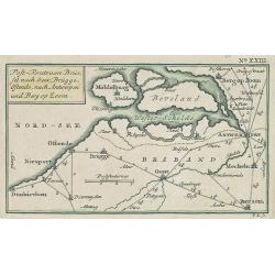
Post-Route von Brüssel nach Gent, Brügge, Ostende, nach Antwerpen und Bergen op Zoom. N°XXIII
1785 KÜFFNER, P. - Post-Route von Brüssel nach Gent, Brügge, Ostende, nach Antwerpen und Bergen op Zoom. N°XXIII
Date: Nürnberg, Weigel and Schneider, ca.1785
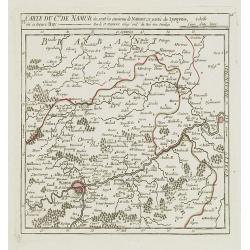
VI. Carte du C.té de Namur où sont les environs de Namur.. Huy.
1748 DE VAUGONDY, G. R. / - VI. Carte du C.té de Namur où sont les environs de Namur.. Huy.
Date: Paris, after 1748
![[IV.] Carte du Brabant où se trouvét la Mairie de Santhoven.. Ryen.](/uploads/cache/24684-250x250.jpg)
[IV.] Carte du Brabant où se trouvét la Mairie de Santhoven.. Ryen.
1748 DE VAUGONDY, G. R. / - [IV.] Carte du Brabant où se trouvét la Mairie de Santhoven.. Ryen.
Date: Paris, later than 1748
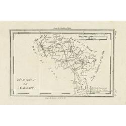
Département de Jemmape.
1806 DELAPORTE, L'A. - Département de Jemmape.
Date: Paris, Prudhomme, Levrault, Debray, 1806
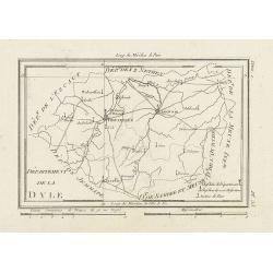
Département de la Dyle.
1806 DELAPORTE, L'A. - Département de la Dyle.
Date: Paris, Prudhomme, Levrault, Debray, 1806
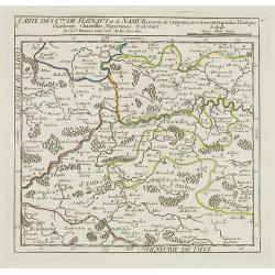
V. Carte des C.tes de Haynaut et de Namur. . .
1748 DE VAUGONDY, G. R. / - V. Carte des C.tes de Haynaut et de Namur. . .
Date: Paris, after 1748
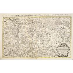
Partie meridionale du Duché de Brabant comprend les Quartiers de Louvain et Brusselles. . .
1692 JAILLOT, A.-H. / MORTIER, P. - Partie meridionale du Duché de Brabant comprend les Quartiers de Louvain et Brusselles. . .
Date: Amsterdam, 1692
![[IX.] Carte du Brabant ou sont les Mairies de Roo, de Nivelle, de Hulpen, et de Geneppe.](/uploads/cache/24689-250x250.jpg)
[IX.] Carte du Brabant ou sont les Mairies de Roo, de Nivelle, de Hulpen, et de Geneppe.
1749 DE VAUGONDY, G. R. / - [IX.] Carte du Brabant ou sont les Mairies de Roo, de Nivelle, de Hulpen, et de Geneppe.
Date: Paris, later than 1749
